Get Lost Mountaineering
You are here: England » Pennine Way » 1. Edale Village to Hebden Bridge
1: Edale Village to Top of Snake Pass via Kinder Low, Kinder Downfall, Mill Hill and Pennine Way
1: Edale Village to Top of Snake Pass via Kinder Low, Kinder Downfall, Mill Hill and Pennine Way
Start/Finish
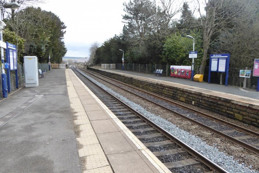
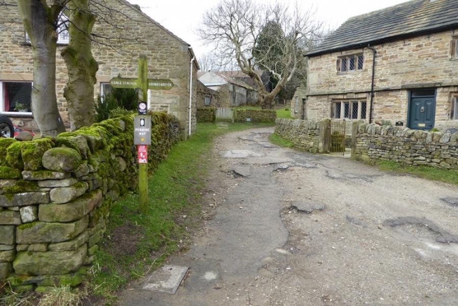
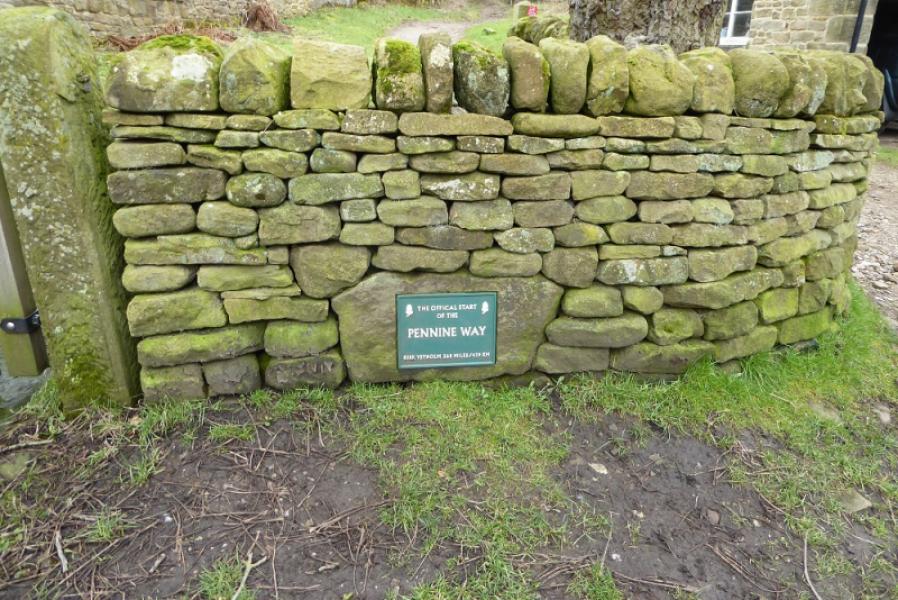
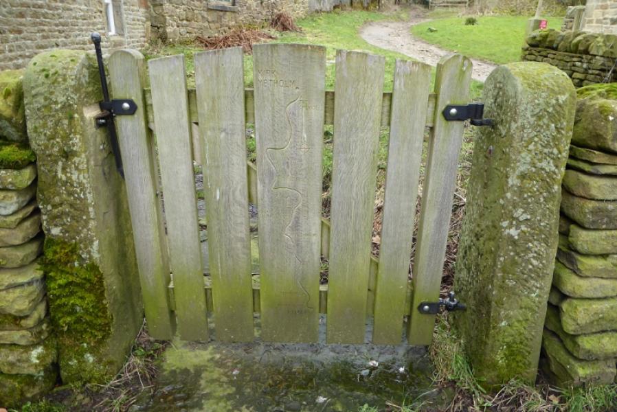
Edale Village centre. The start of the Pennine Way is close to the Entrance to Coopers' Cafe and across the small square from the Nag's Head Inn. There is no problem with being dropped off very close to the start. Parking is best in the main car park back on the main road about a mile down from the village. Edale railway station is on the Manchester to Sheffield Line and some of the trains stop there. Those backpacking the Pennine Way without support are likely to arrive by train.
Distance/Time
16 km. About 5 – 6 hours.
Peaks
Kinder Low, 633 m, SK 079 870.
Mill Hill, 544 m, SK 061 504.
OS Outdoor Leisure 1: Dark Peak. OS 110: Sheffield & Huddersfield.
Introduction
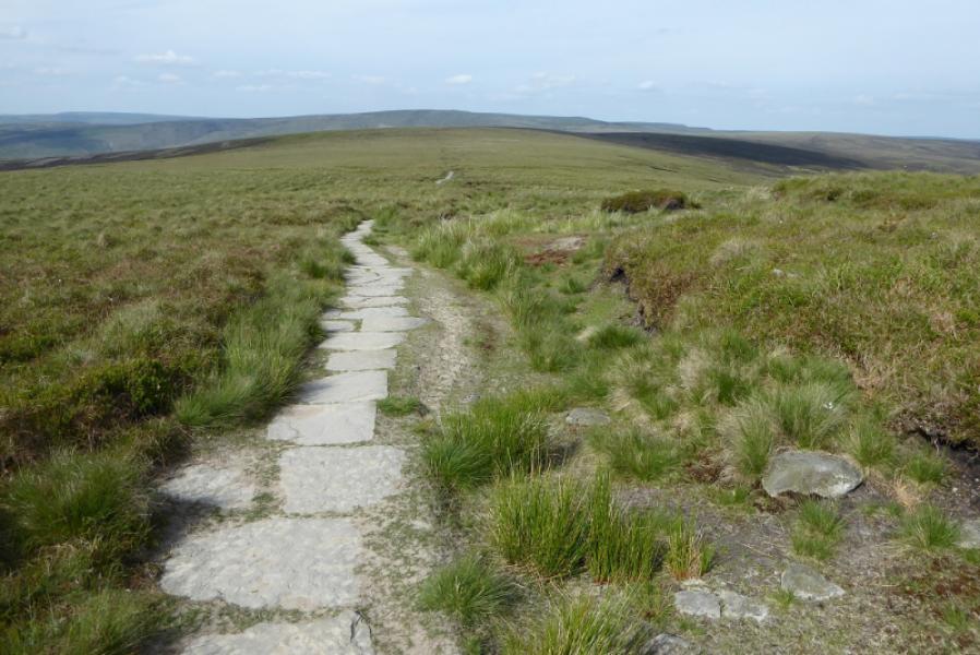
This is the first stage of the Pennine Way for those tackling it from south to north. The Pennine Way is followed to Upper Booth, up the path known as Jacob's Ladder and on to Kinder Low before continuing along the western edge of the Kinder plateau to Kinder Downfall then on to the north west corner before descending, steeply in places, to the signed “crossroads” at the top of William Clough. A short ascent leads to the top of Mill Hill where the Pennine Way goes right, north east, and is slabbed almost all of its way across the fairly featureless boggy moorland to the top of the Snake Pass. The Pennine Way can be slippery and muddy at times between Edale and Upper Booth. Crossing the River Kinder at Kinder Downfall can be difficult after heavy rain. The slabs after Mill Hill can soon be covered by snow in winter conditions and the top of the Snake Pass is quickly closed by snow so meeting a support vehicle may not always be possible. For those arriving by train, the route is described from the station. Coopers also have a campsite which is very close to the start of the Pennine Way. There is some accommodation available in Edale village.
Route
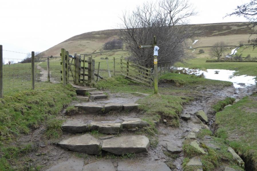
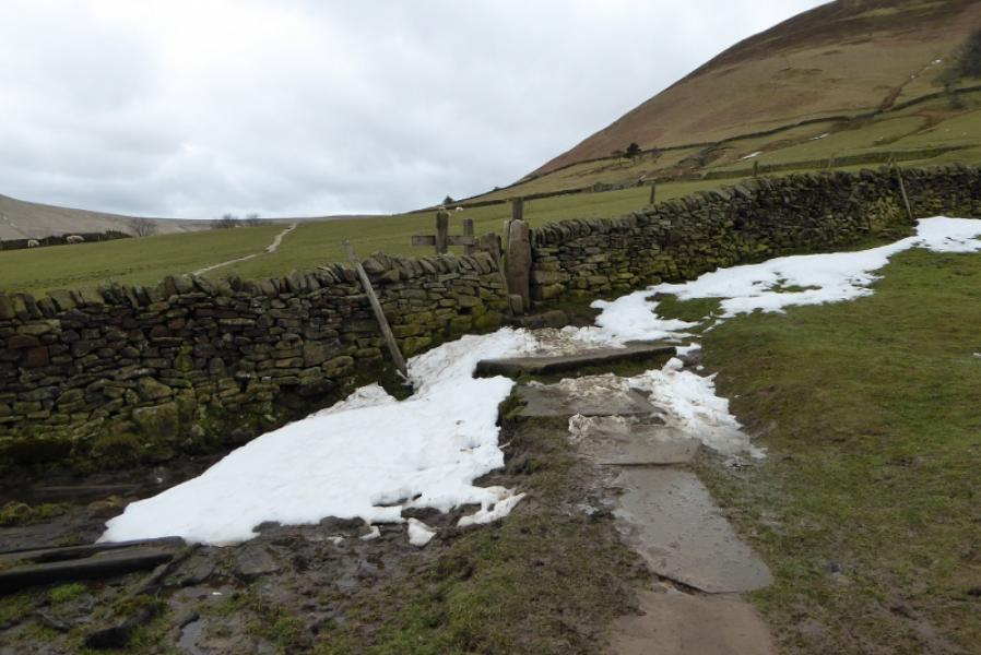
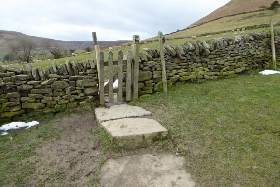
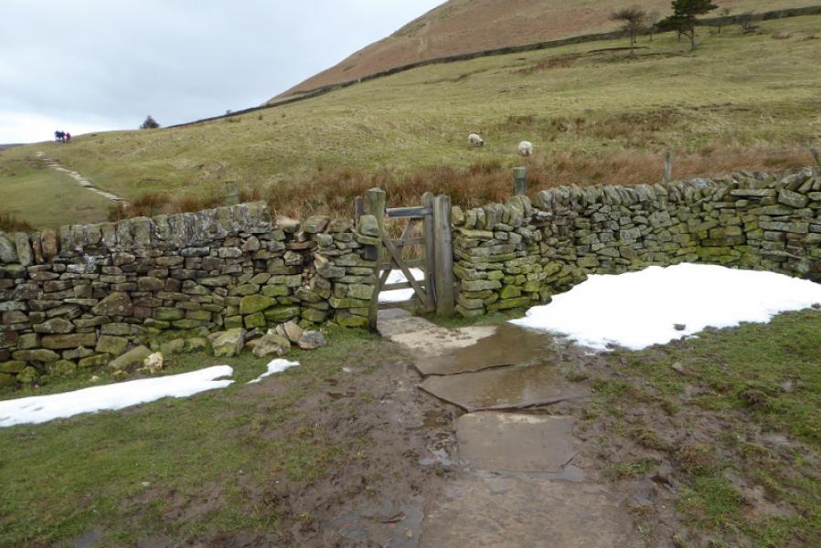
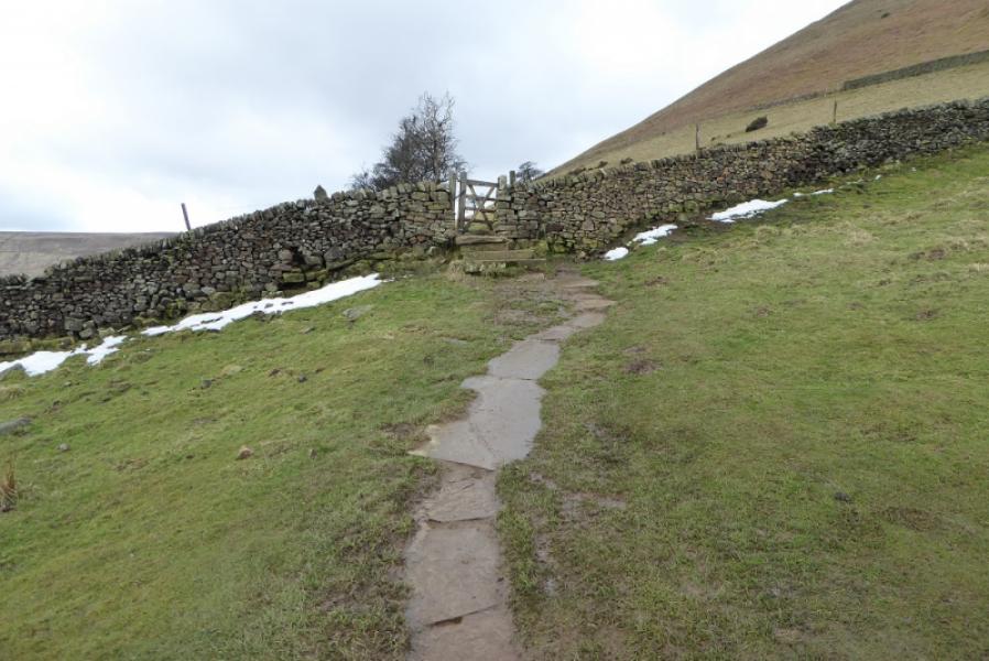
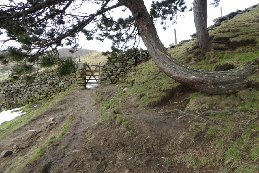
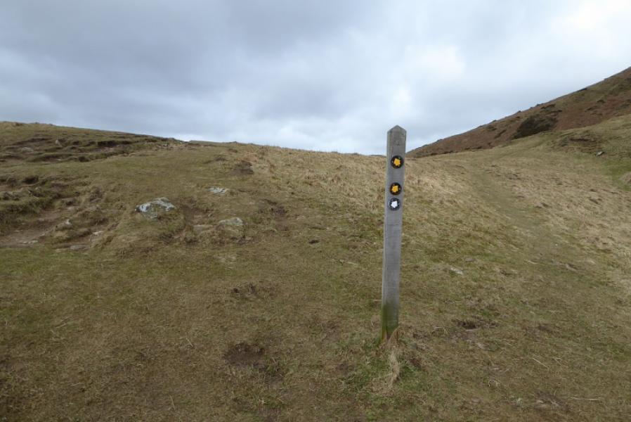
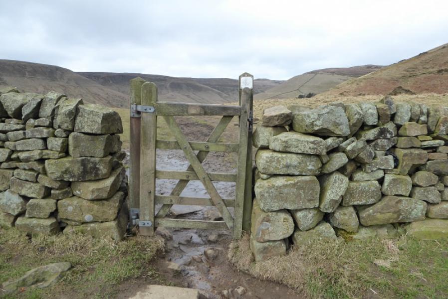
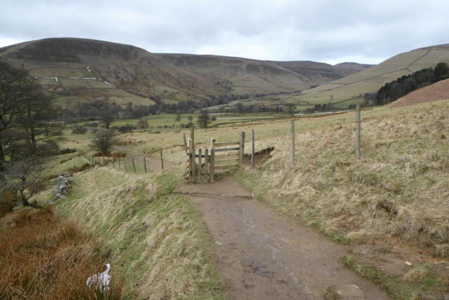
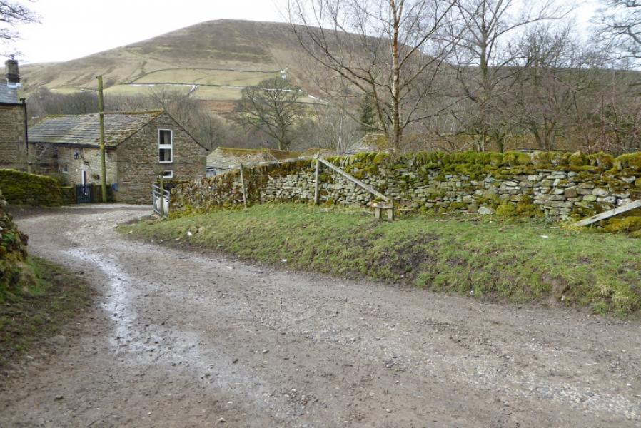
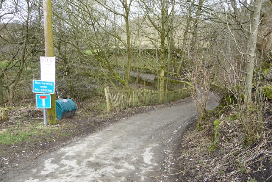
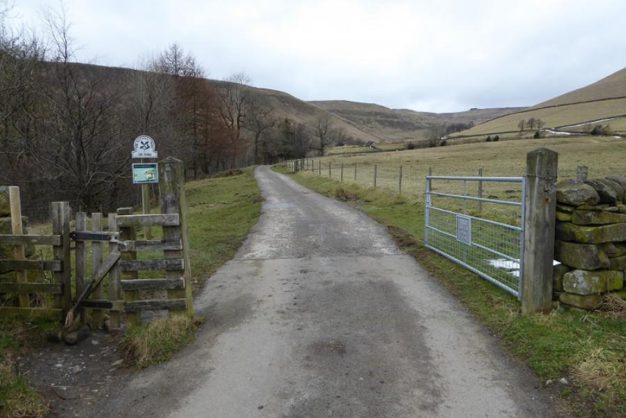
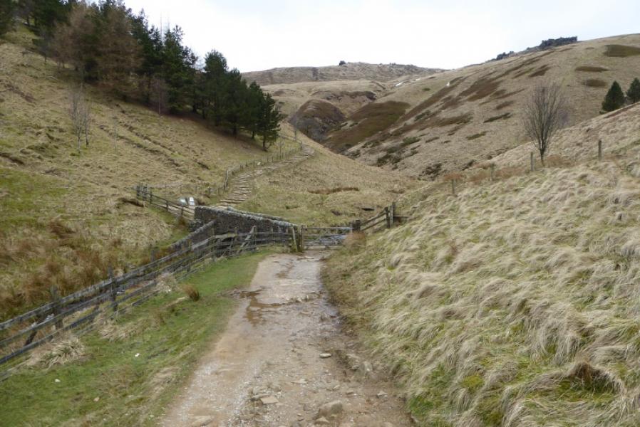
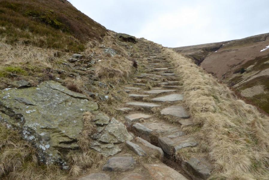
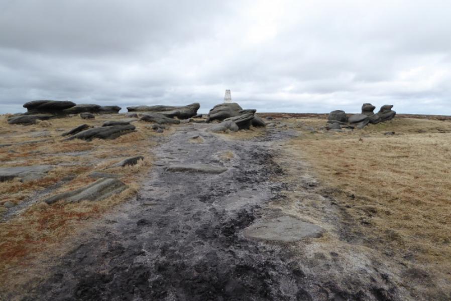
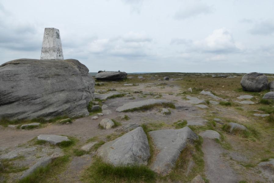
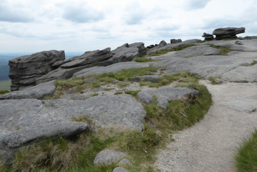
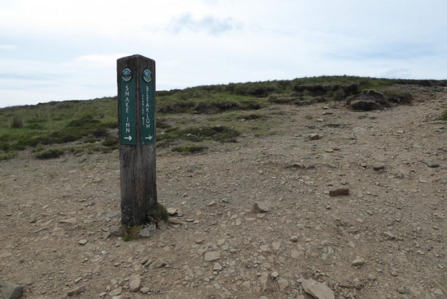
(1) Walk out of Edale Station to the road then turn left and follow the road up to Edale Village passing the church on the way. The Pennine Way starts just after Coopers which is opposite the small primary school and before the Nag's Head. Follow the Pennine Way which is well signed apart from one post where one goes straight on not fork right. Continue and eventually reach the farm at Upper Booth. Turn left onto the track through the farm to reach the road. Turn right and follow the road to Lee House which becomes a rough track after a gate. Continue to reach the old pack horse bridge at the foot of Jacob's Ladder. The new Jacob's Ladder path is well signed; the old path is off left just over the bridge. Both meet higher up and both are steepish in places. Continue up to where the path splits with a slabbed path forking right. Take the right path and follow this to the right of Swine's Back and Edale Rocks before reaching the trig point which is Kinder Low, 633 m. This is 3 m lower than the highest point on Kinder Scout, 636 m, which is about 1 km ENE of the trig point across rough ground.
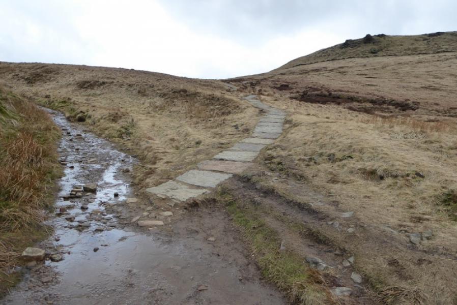
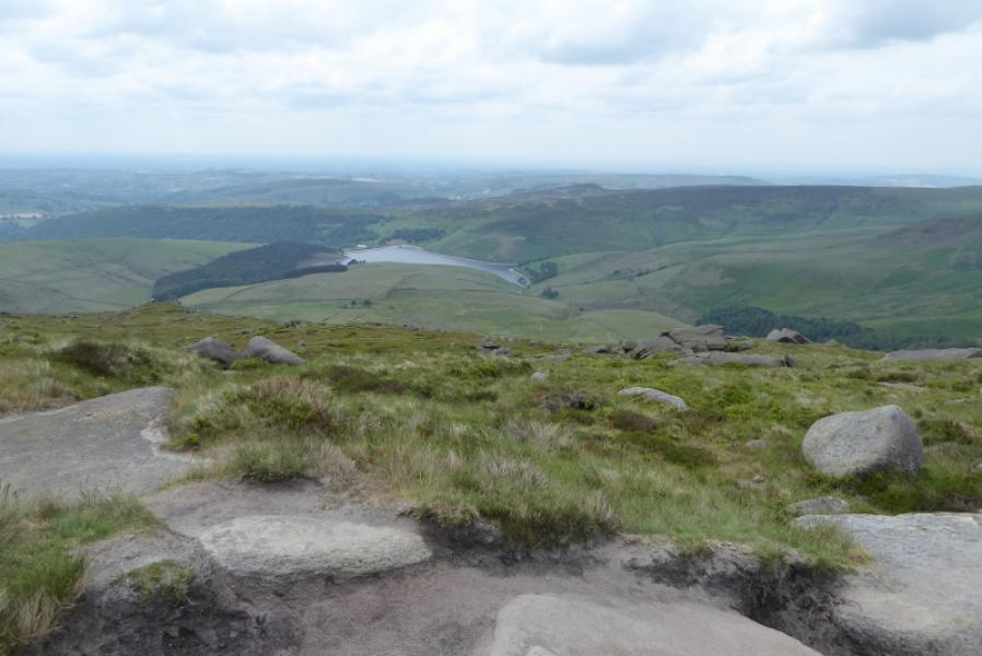
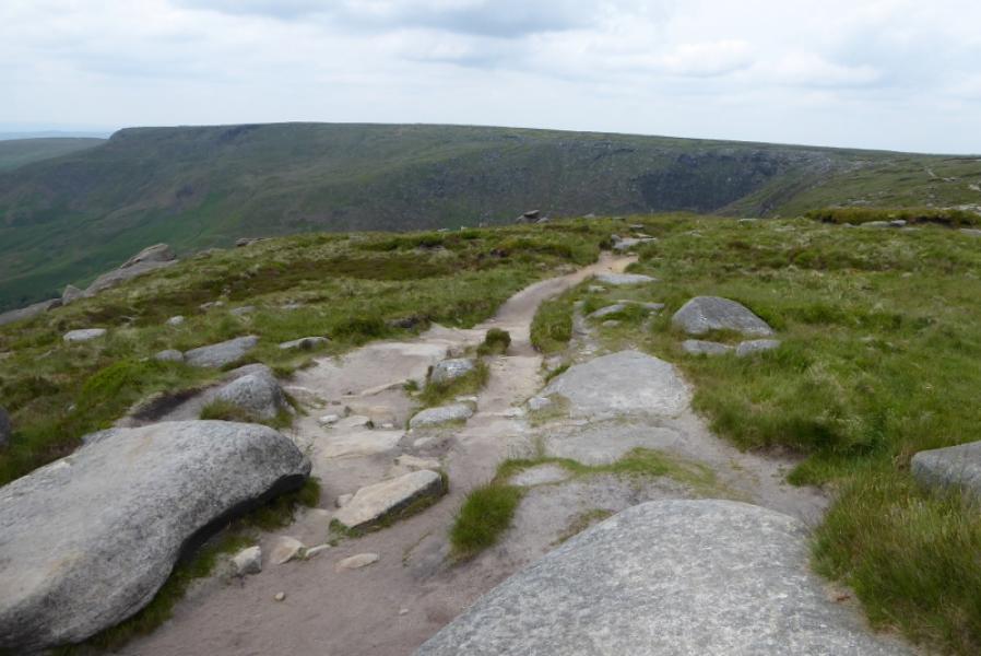
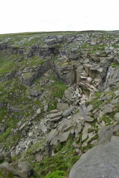
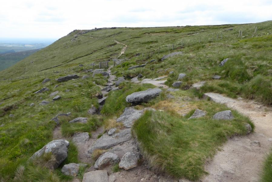
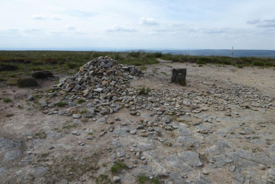
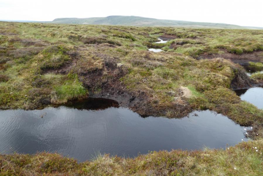
(2) Walk N from the trig point, initially on level ground, before a short descent to the main edge path which continues roughly N. About 1 km, after Kinder Low, cross Red Brook, usually very easily. After a further km, reach Kinder Downfall, with cliffs on either side, where the River Kinder goes over the cliffs. In windy weather, much of the waterfall can be blown back up! The river is usually easy to cross but may need a detour upstream after heavy rain. After the Downfall, the edge goes roughly NW with a few dips. At the corner known as Sandy Heys, the edge turns right from W to N and heads towards the NW corner of the plateau to reach a huge cairn before descending steeply, on steps, to reach a signed “crossroads” of paths at the top of William Clough. Continue ahead and ascend easily to the large low cairn on the top of Mill Hill, 544 m.
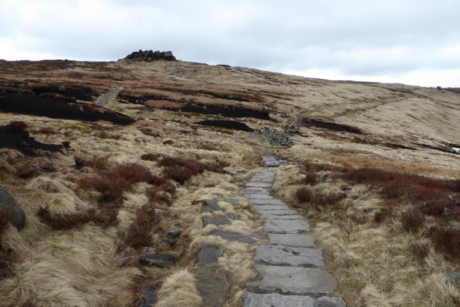
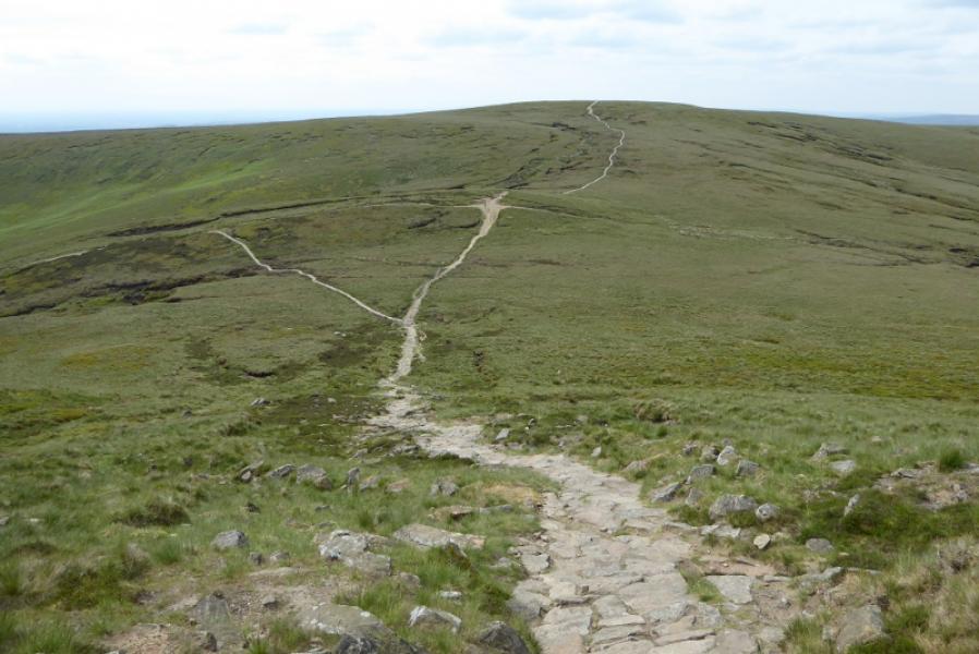
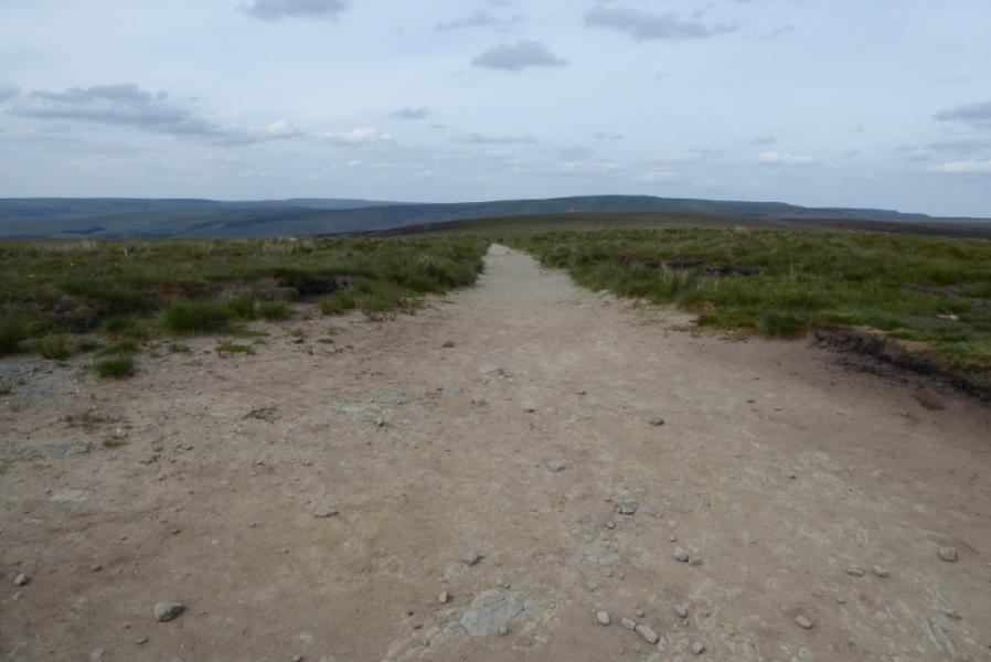
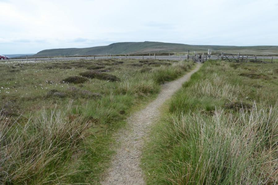
(3) The Pennine Way turns N here and soon becomes slabbed for the 4 km to the top of the Snake Pass passing over a minor top on the way.
Notes
(a) This walk is a composite using parts of two walks on 23rd March, 2018, and 13th June, 2018.
Photos - Hover over photo for caption. Click on to enlarge. Click on again to reduce.