Get Lost Mountaineering
You are here: England » Lincolnshire » County Walks
Ruckland, Farforth, Oxcombe, Bluestone Heath Road & Worlaby
Ruckland, Farforth, Oxcombe, Bluestone Heath Road & Worlaby
Start/Finish
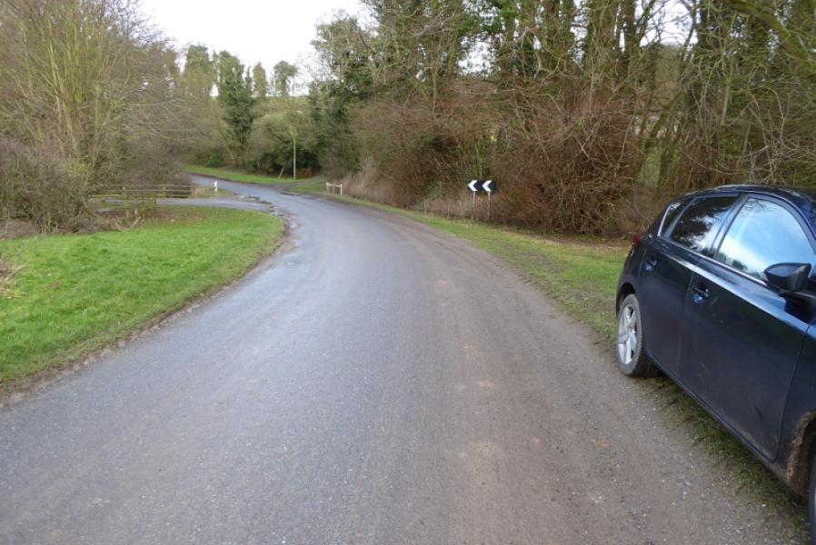
Verge parking in hollow below Ruckland not far from where the stream is crossed. This is at about TF 333 778. The postcode of the Olde Rectory in the hamlet of Ruckland is LN11 8RQ.
Distance/Time
11 km. About 3 hours.
Peaks
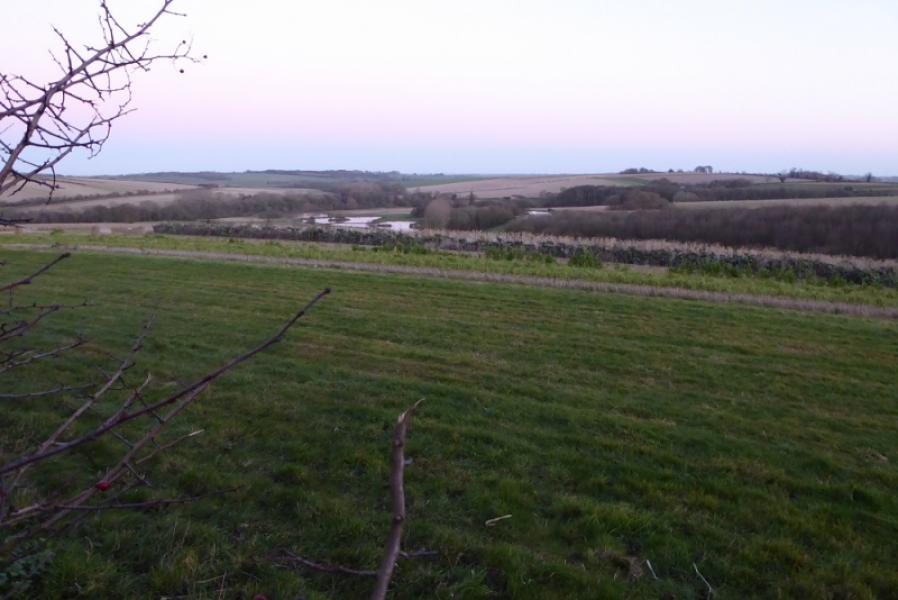
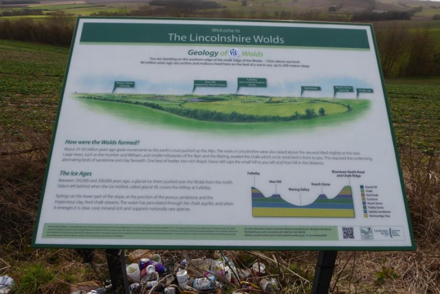
No obvious peaks as such but the highest point is on the Bluestone Heath Road at about 142 m.
Pathfinder 766: Tetford & Baumber. OS 122: Skegness.
Introduction
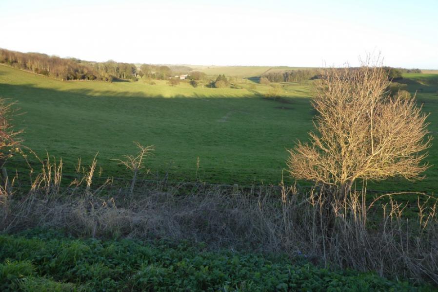
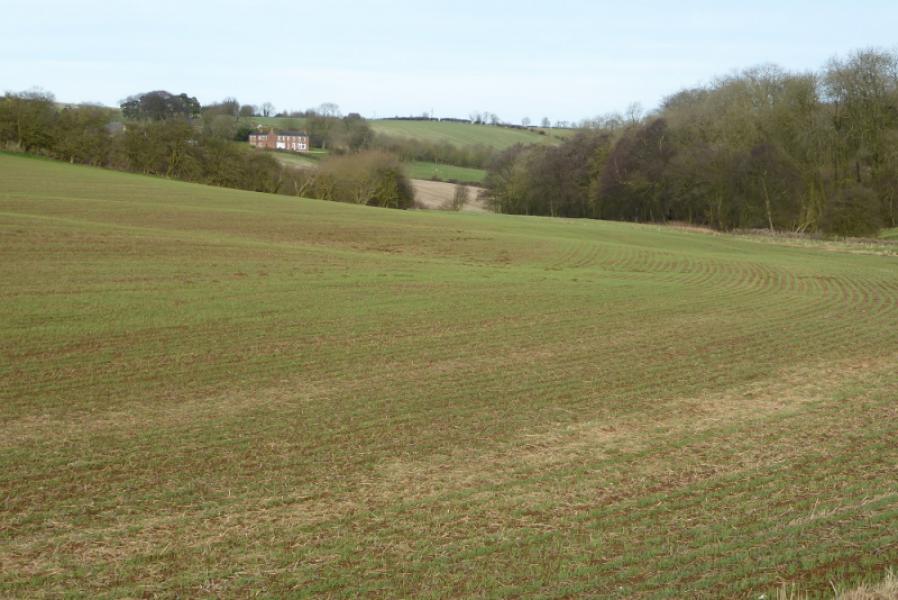
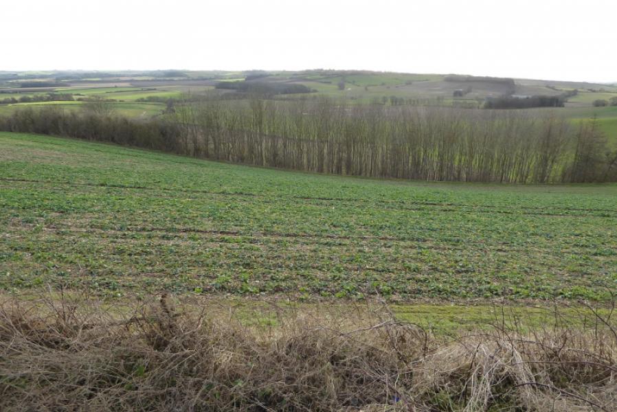
No one would claim that any part of Lincolnshire is mountainous but walks on its gentle rolling hills are enjoyed by many so here is one which is close to the Bluestone Heath road, often described as the most scenic road in the county.
Route
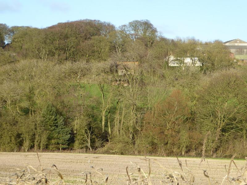
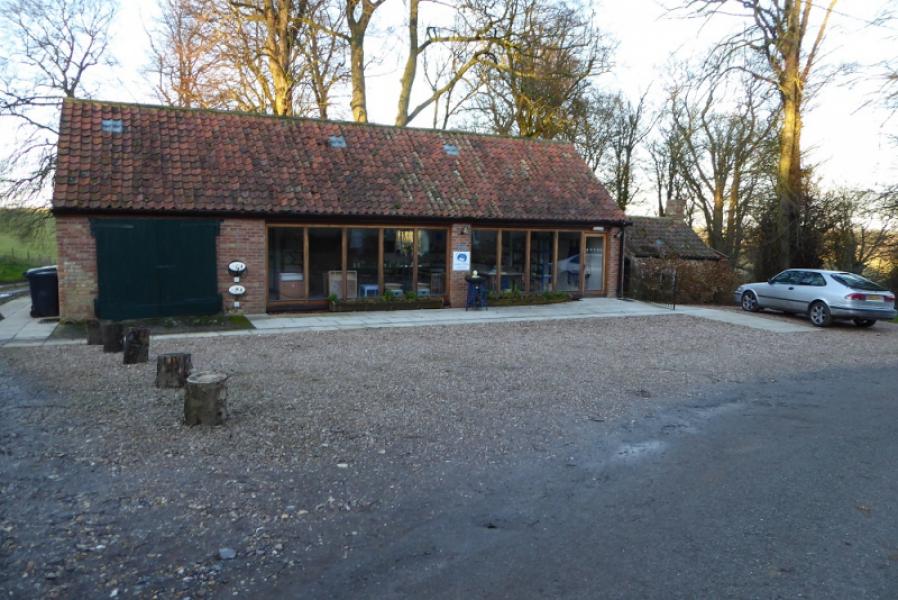
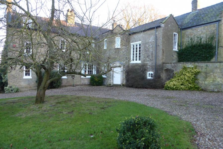
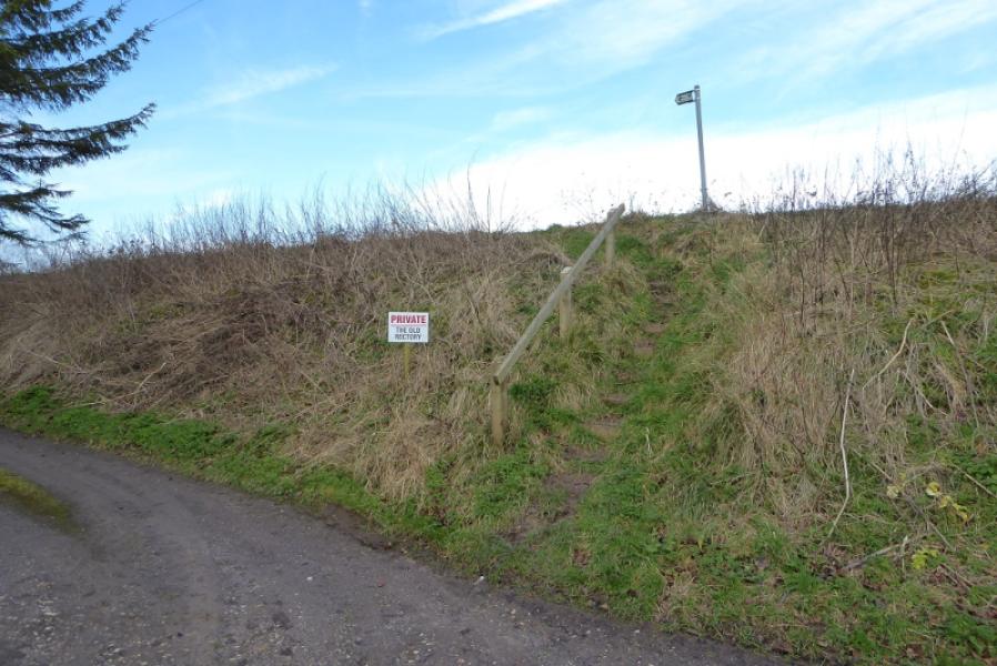
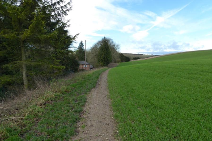
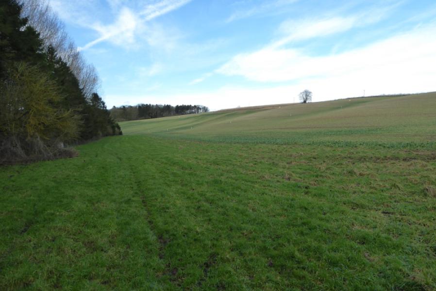
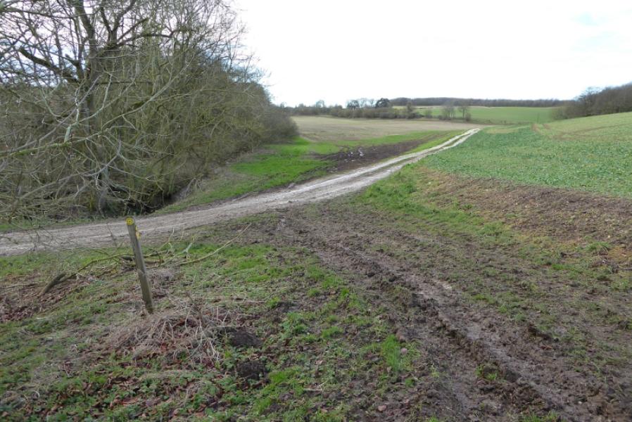
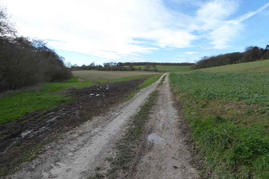
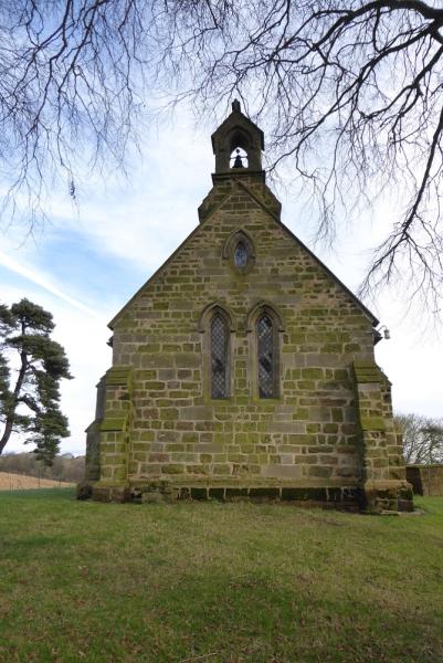
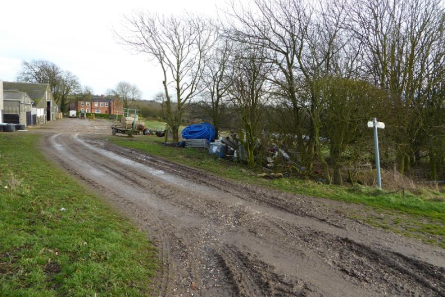
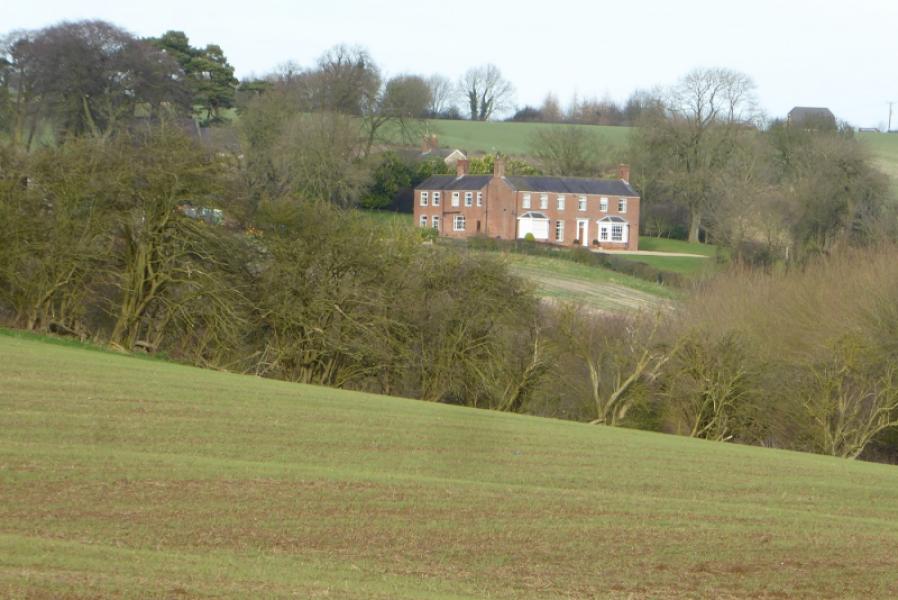
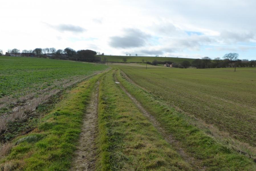
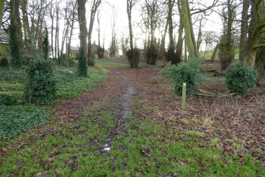
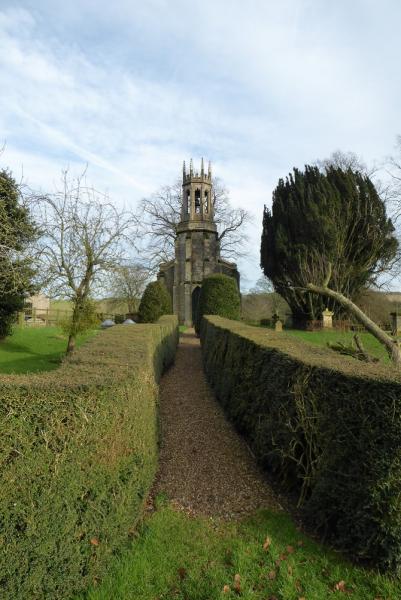
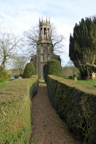
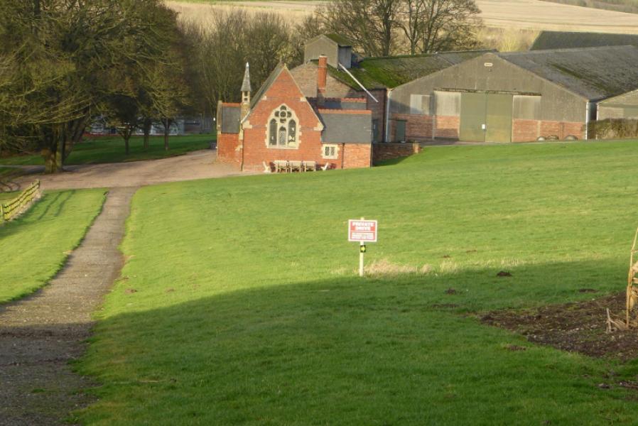
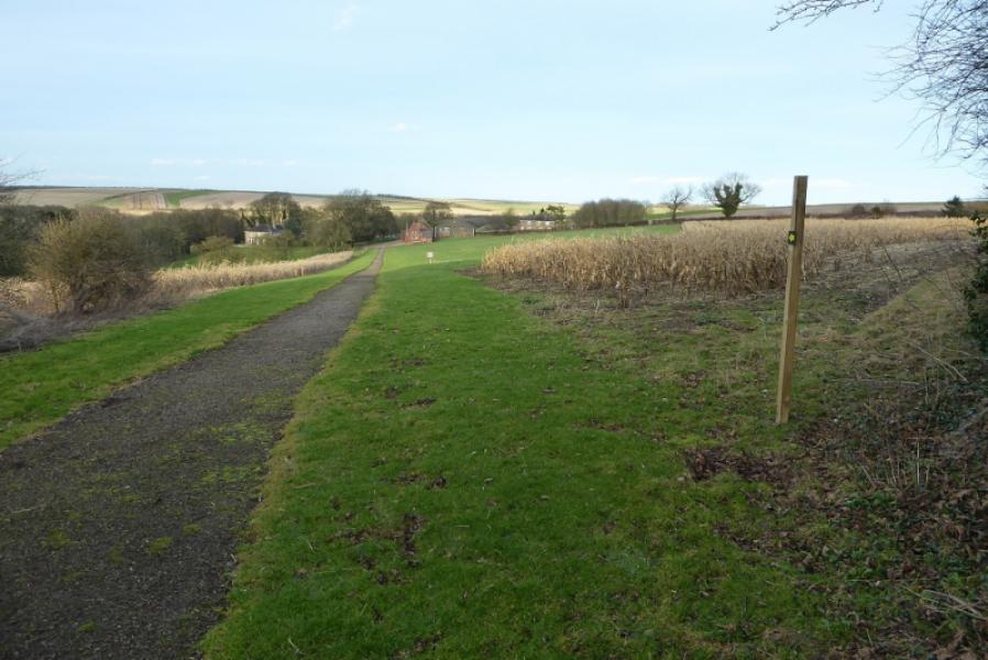
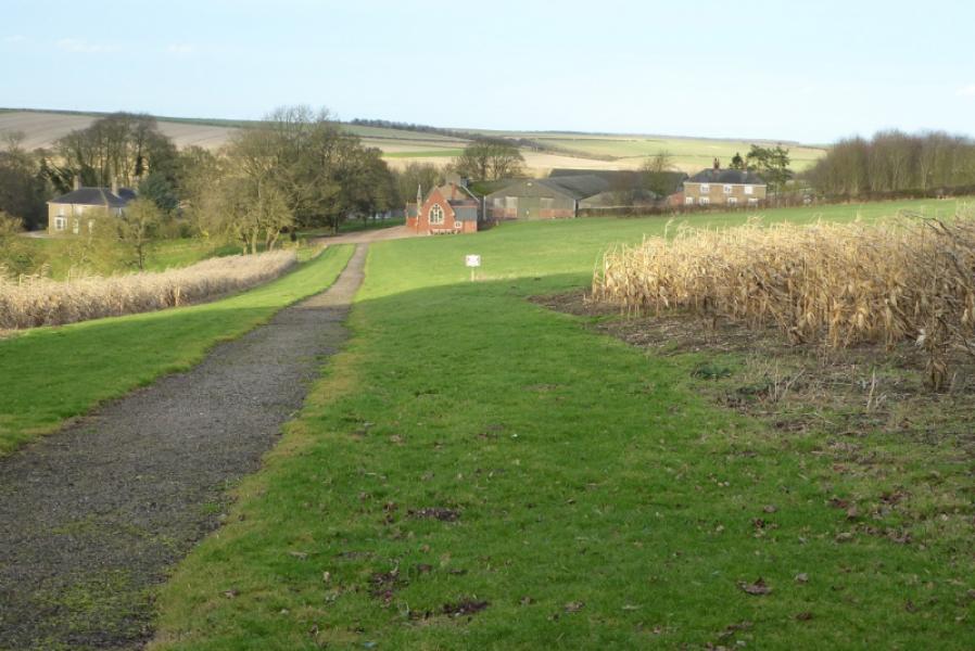
(1) From the bottom of the hollow, ascend N/NE, on the road, towards the hamlet of Ruckland. Soon reach the start of the private track to the Olde Rectory, on the left with a track opposite on the right. At the start of this track are some steps up a bank to a footpath sign which directs one, roughly NW, along the edge of a field. Follow the path, faint in places and soon pass the Olde Rectory. Continue to join a track coming through a gap in the wood on the left. Follow the track NW towards a wood where the track turns left, almost W. Soon after, it turns left again, SW, and ascends gently to the outskirts of Farforth where it turns right, NW, and passes in front of the old church before meeting the very minor road coming in from the N to Farforth. Turn right onto this road, N, then, almost immediately, turn left off it and follow a track W to soon reach another footpath sign where one goes left, S and downhill. Follow the track down and cross a track entering Farforth from the W. Continue ahead on a grassy path indicated by another sign. Follow this path down, faint in places, to another sign at a footpath junction. Continue ahead on the path which soon becomes a grassy track. About 1 km further, this crosses another track below the wood just before Oxcombe. Continue ahead on a signed path (sign is not that obvious) heading for the large building ahead. Reach the very minor road at the back of Oxcombe Manor. There is a pottery on the right which does not sell anything but is used for running courses on making pottery.
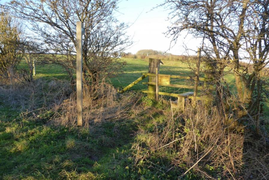
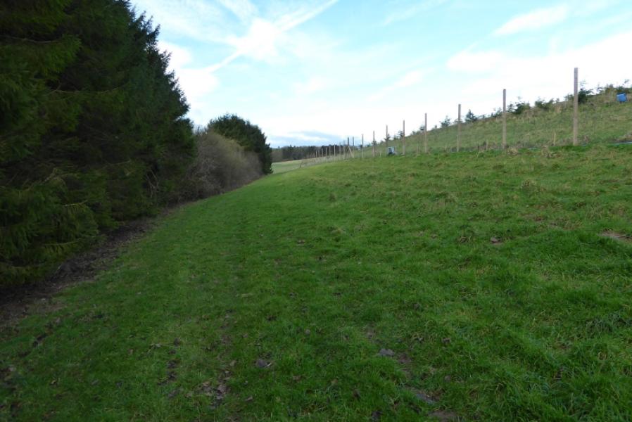
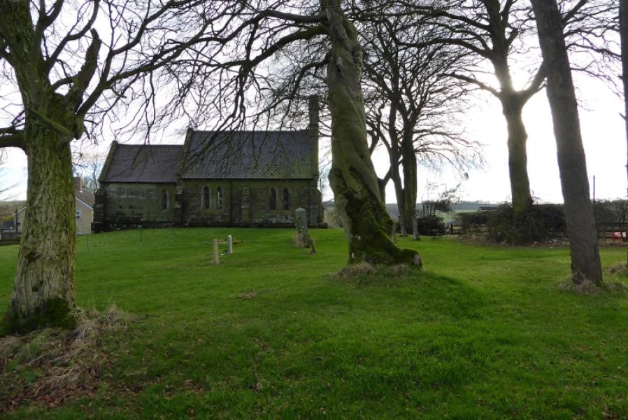
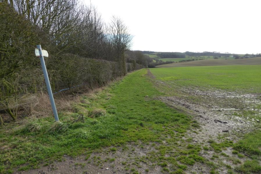
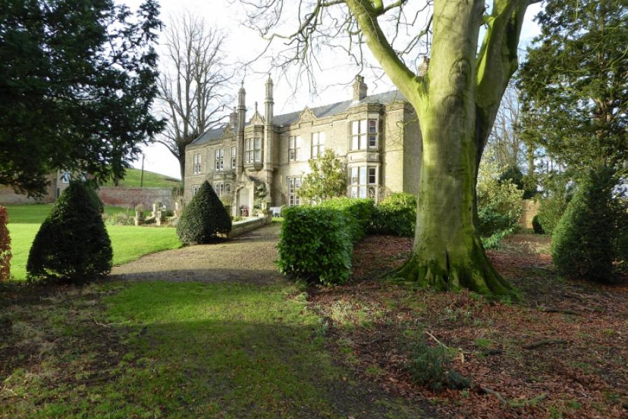
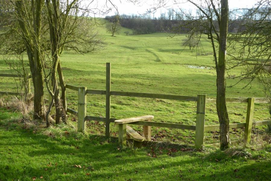
(2) Go across the minor road at the point it was joined which takes one down the side of the manor. Continue down. It is possible to find the old drive leading to the front of the manor if you wish to have a quick peek! Continue down and pass the gate for the small church, on the left. Continue down to a fence with a stile over it. Cross over and follow a faint path almost straight ahead. The path soon peters out so look for a grassy “track” curving up on the left to the ridge and follow this up. It seems to be the only distinctive route on the ground but is not shown as a right of way on the map. The “track” follows a fence to a corner at the top of a wood. There is no stile here and it is three strands of barbed wire which have to be climbed over or crawled under. The other fence here (ahead) has only one strand of barbed wire and might be easier. Once on the other side of the fence follow the edge of the field towards the road, roughly S. You will be walking along a strip about a metre wide between a low electrified fence and the fence between the field and the wood on the right. Follow this to the road which is the Bluestone Heath Road. It may be worth exploring lower down on the twisting grassy track to see if there is an easier way to avoid crossing the barbed wire fence higher up. See the notes below as to how to avoid this section altogether.
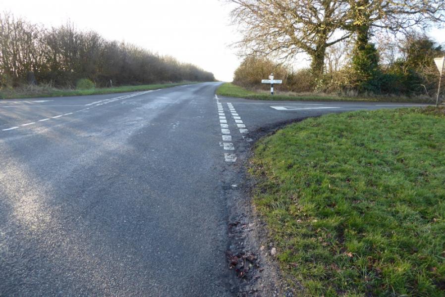
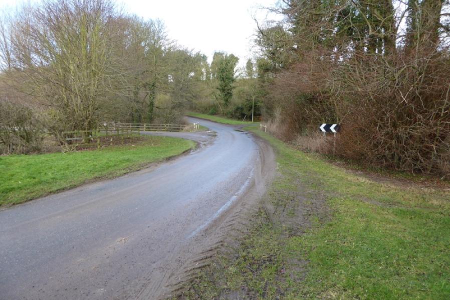
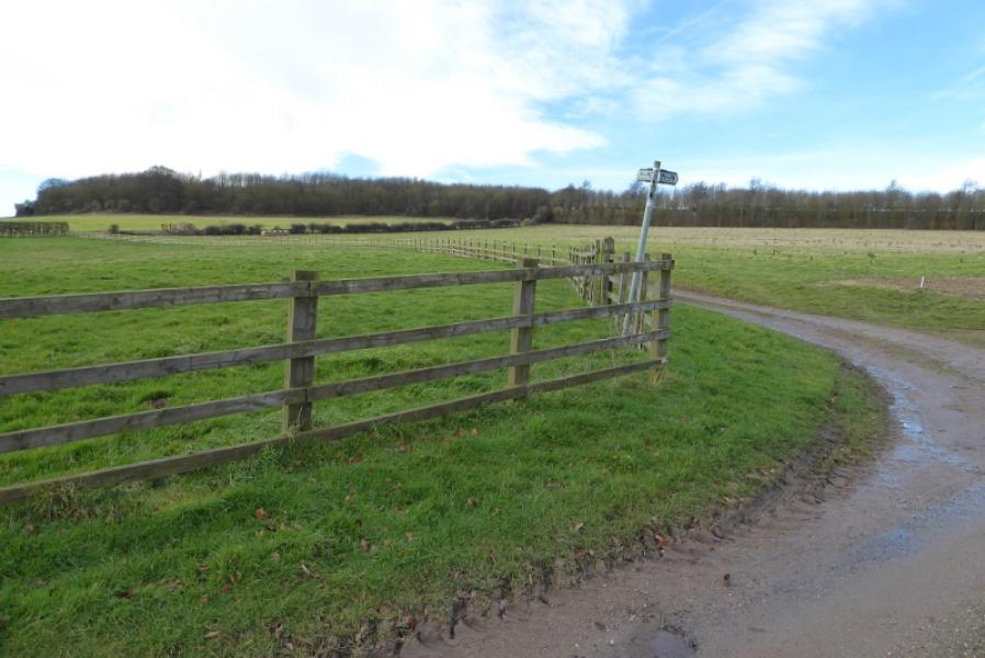
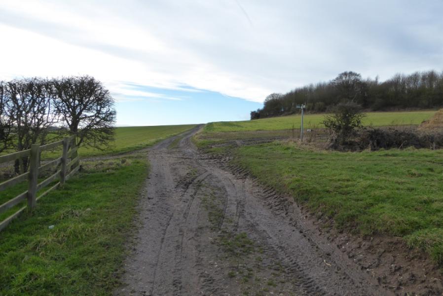
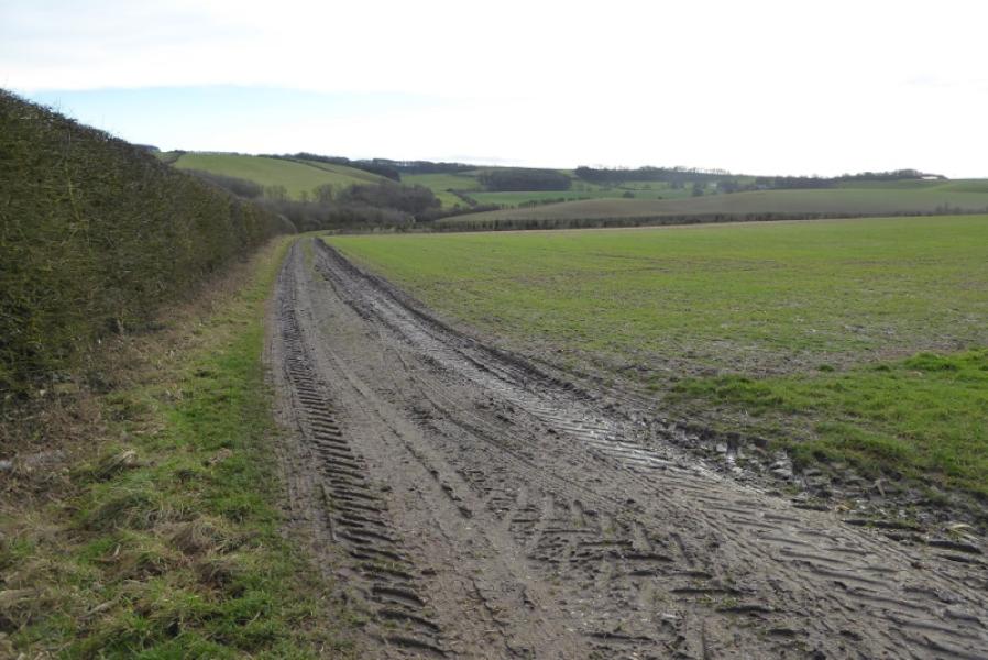
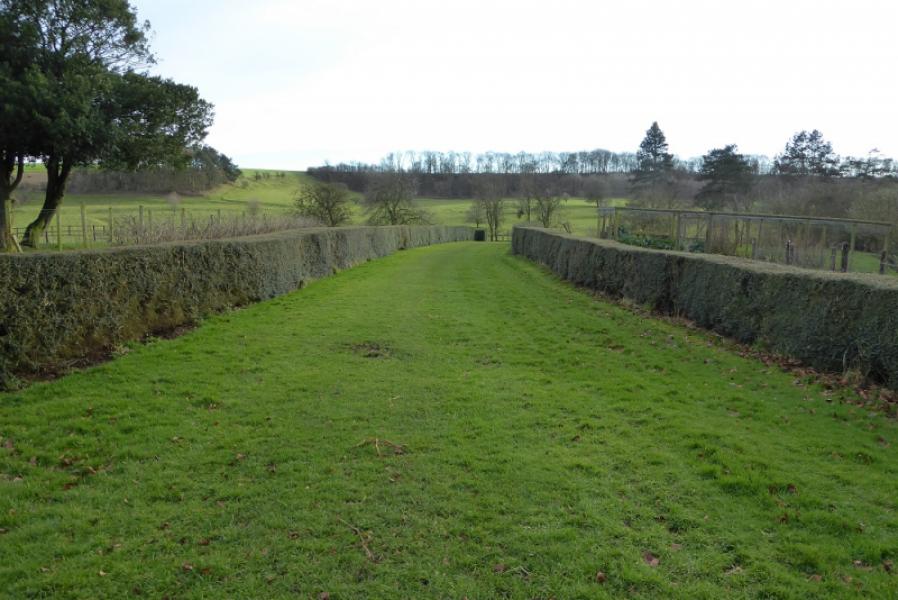
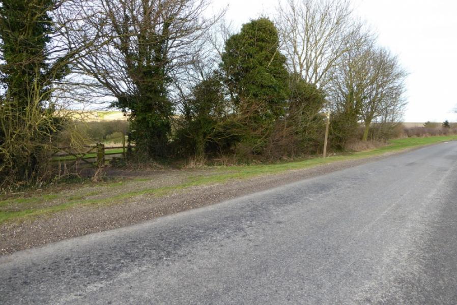
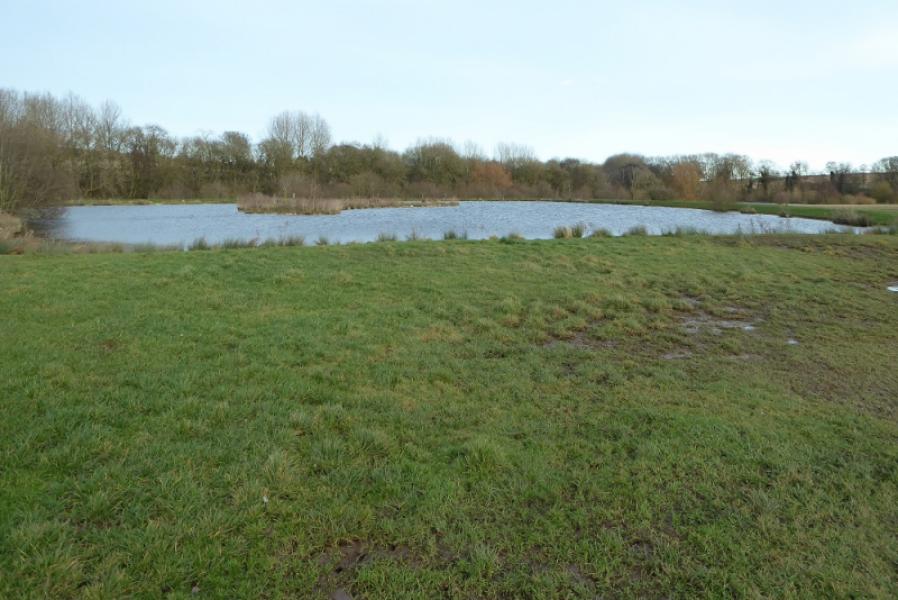
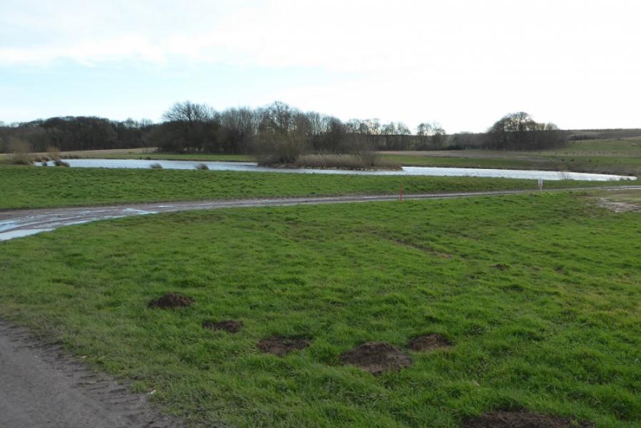
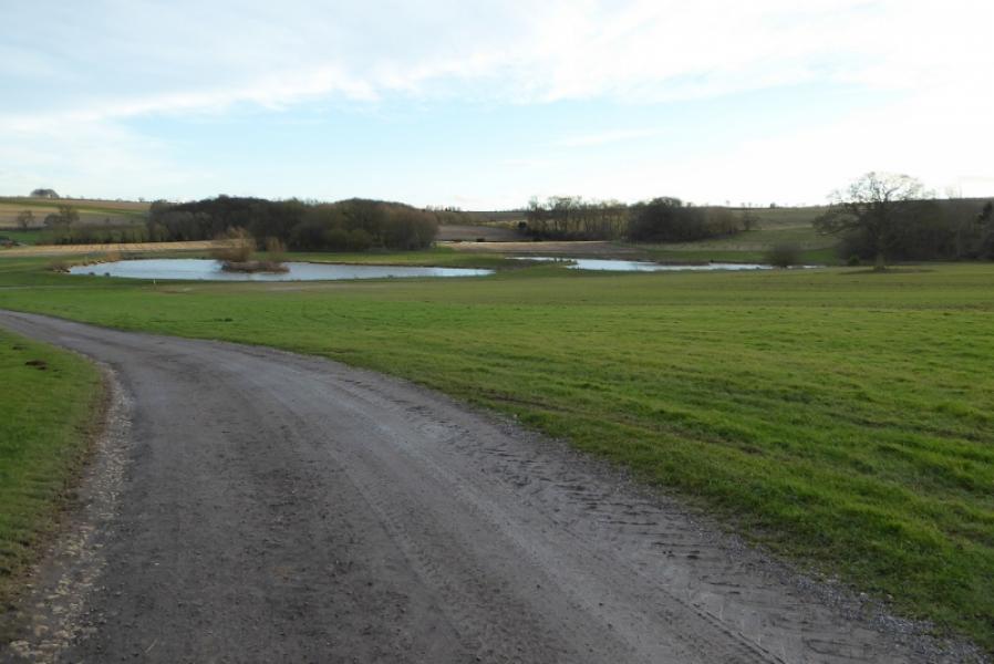
(3) Once on the Bluestone Heath Road, head roughly E and soon reach the lay by with the viewpoint board. Continue for about 1.5 km to the crossroads signed for Ruckland, L, and Tetford, R. Continue ahead for about 1 km to reach a footpath sign on the left. Follow the path which becomes a drive down to Worlaby Chapel but most of this private so follow the small sign which forks right across a field to an obvious gap in a hedge. On emerging from the field, cross the drive to join the main track coming in from the Bluestone Heath Road and follow this around the N and E side of Worlaby then down to Park Cottages where the track turns NW and passes between the lakes known as The Carrs. About 1 km from Park Cottages, this track joins the public road just above Ruckland hollow on its S side.
Notes
(a) This walk took place on 28th January, 2018.
(b) To avoid the possible awkward section below Oxcombe Manor, go down, as described, to look at the manor and church then return to the minor road. Go past the pottery and ascend the road for about 400 m to reach a footpath sign going left. Follow this through a corner of the wood then across the open field to reach the Bluestone Heath Road. You have effectively cut off a corner by using this path. Once on the road, go left, SE. Pass the turning for Belchford then continue to the viewpoint lay from where the main route can be followed to Worlaby. This alternative adds about 1 km of road walking.
Photos - Hover over photo for caption. Click on to enlarge. Click on again to reduce.