Get Lost Mountaineering
You are here: England » Lincolnshire » County Walks
Ruckland, Worlaby, Bluestone Heath & Oxcombe
Ruckland, Worlaby, Bluestone Heath & Oxcombe
Start/Finish
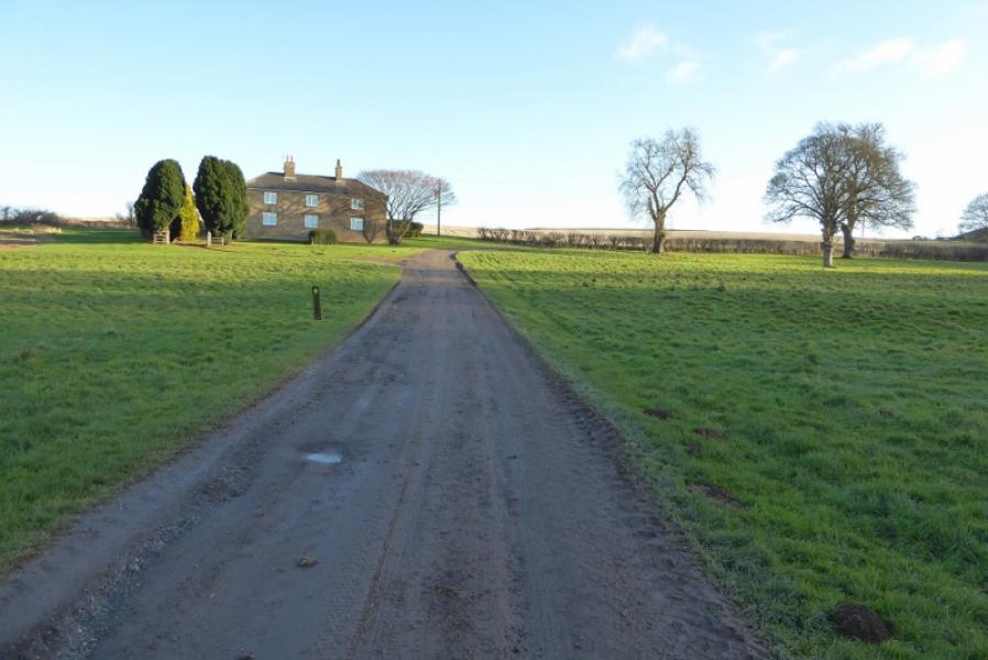
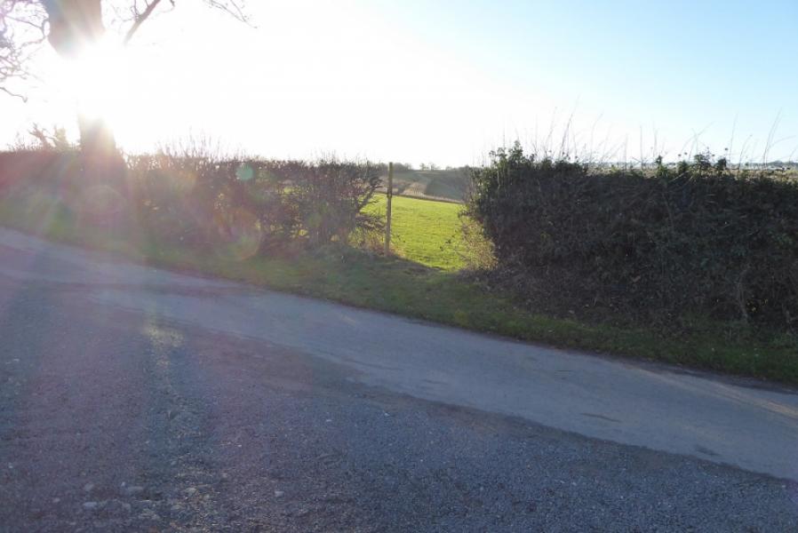
Verge parking on bend below Ruckland after stream is crossed. This is at about TF 333 778. The postcode of the Olde Rectory in the hamlet of Ruckland is LN11 8RQ .
Distance/Time
10 km. About 2 – 3 hours.
Peaks
No obvious peaks as such but the highest point is on the Bluestone Heath Road at about 142 m.
Pathfinder 766: Tetford & Baumber. OS 122: Skegness.
Introduction
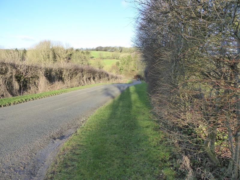
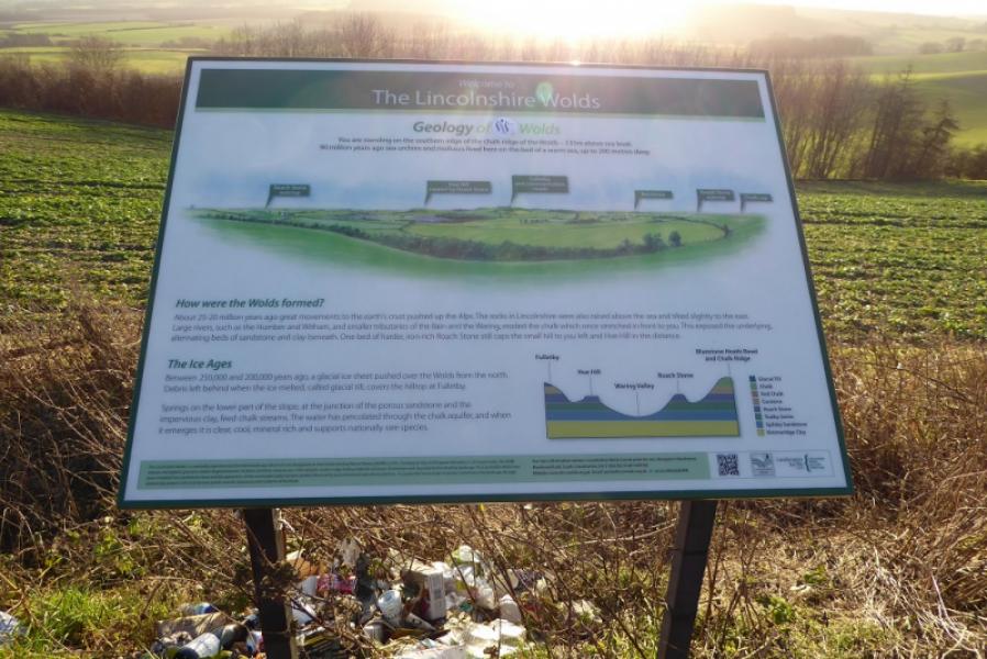
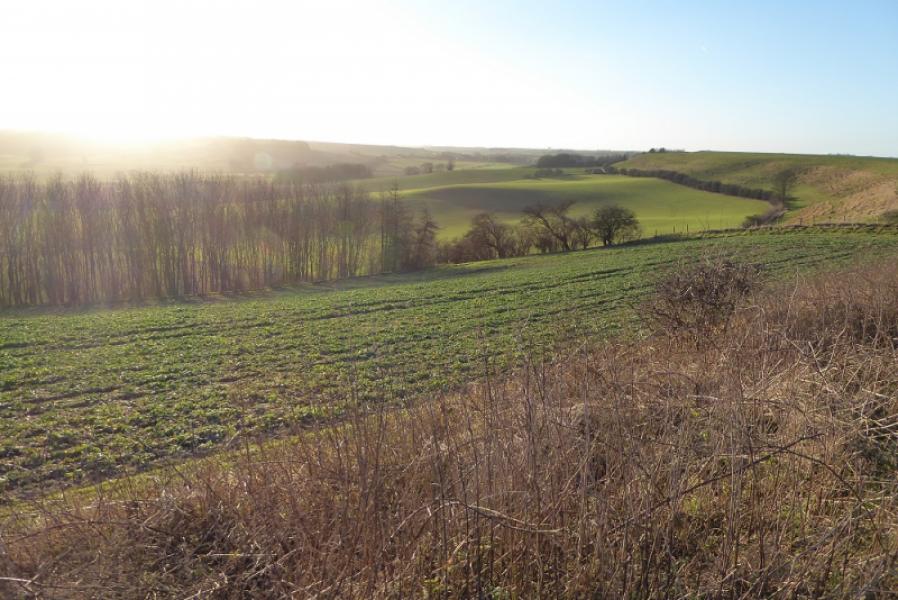
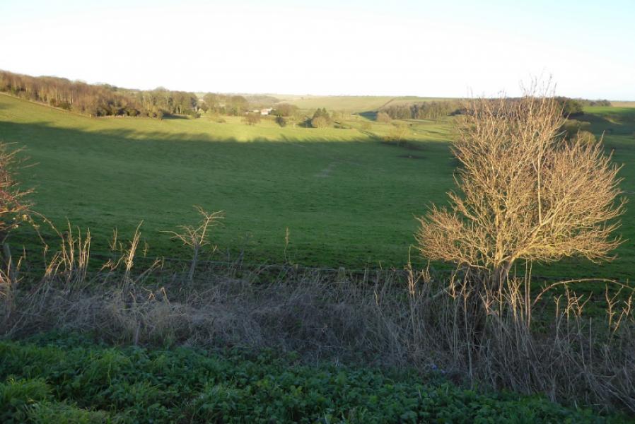
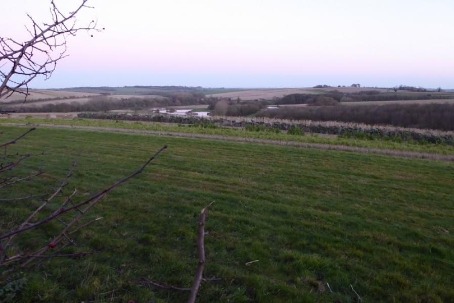
No one would claim that any part of Lincolnshire is mountainous but walks on its gentle rolling hills are enjoyed by many so here is one which is close to the Bluestone Heath road, often described as the most scenic road in the county.
Route
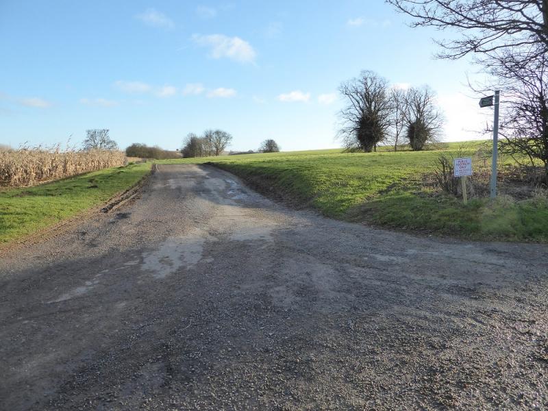
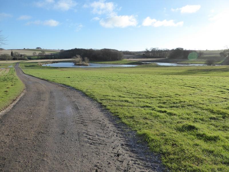
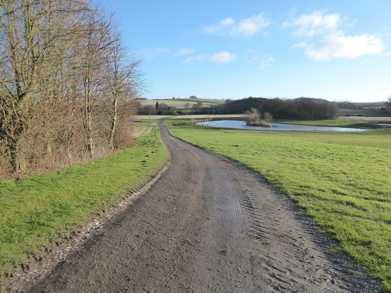
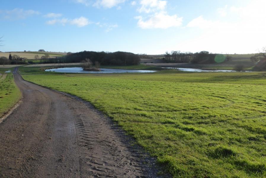
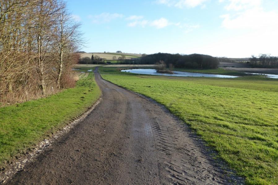
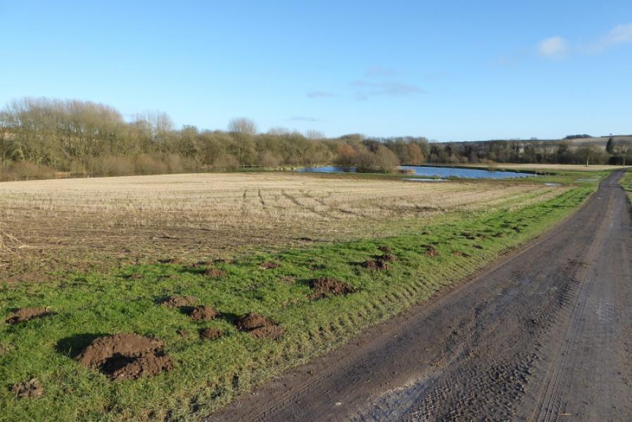
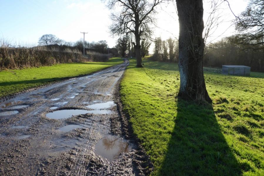
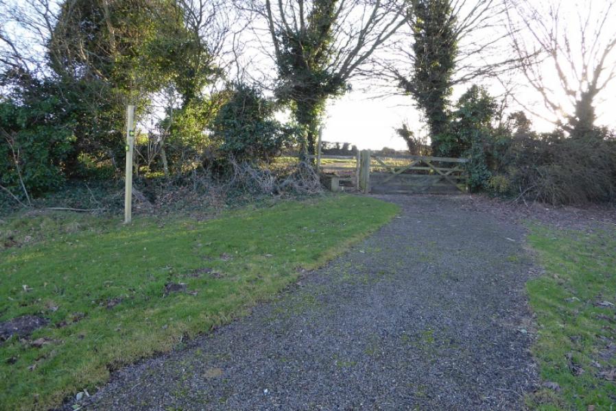
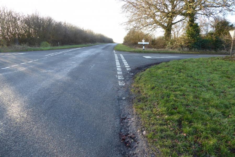
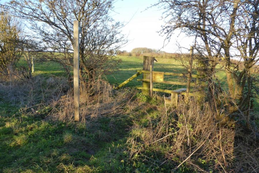
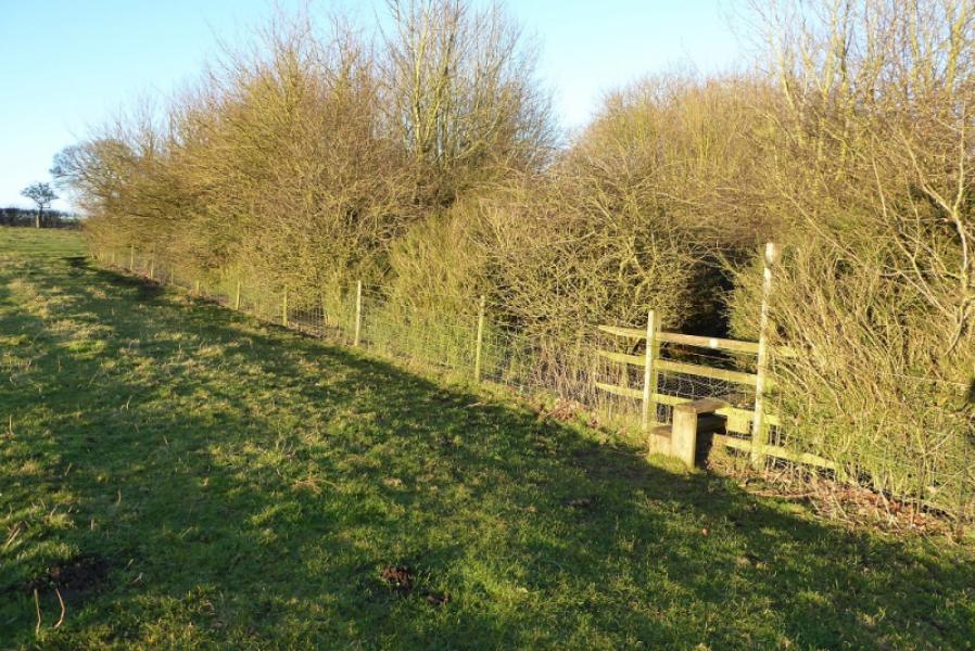
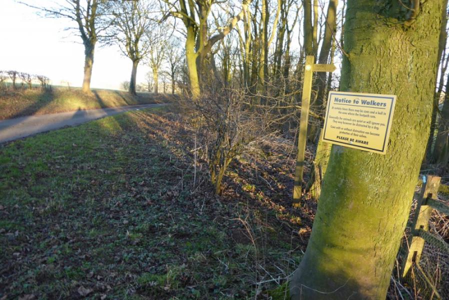
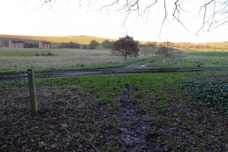
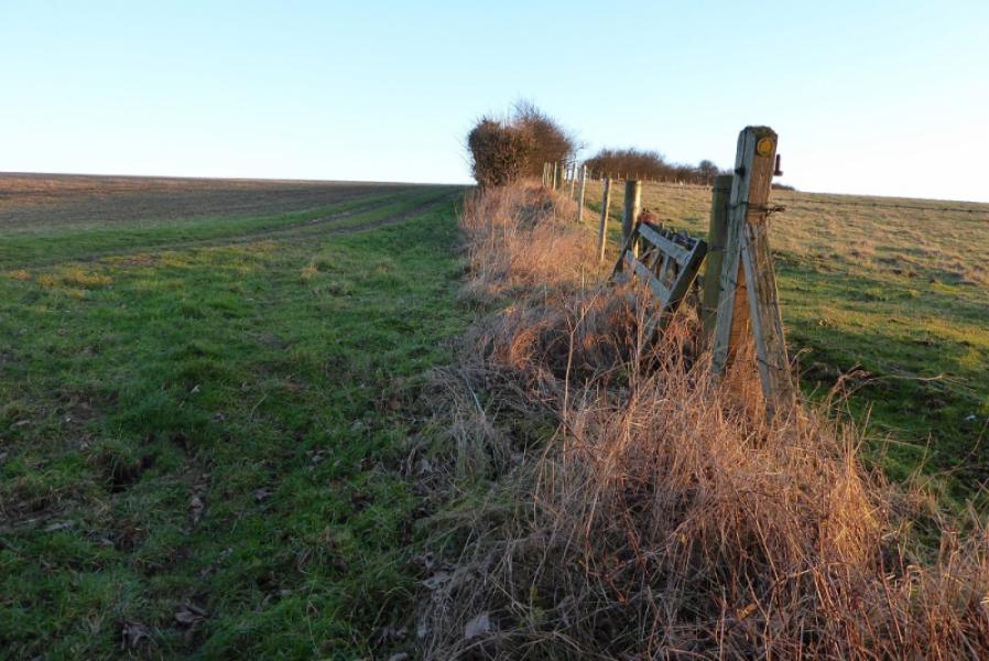
(1) Walk up the road towards the Bluestone Heath road but, within 200 m of the bend, find the track for Worlaby which is signed as a public footpath. Take the track, going SE, passing some lakes seemingly known as The Carrs. Reach Park Cottages where the path goes right towards Worlaby. The old path has now been diverted around Worlaby so stay on the track (goes left before Worlaby) and follow it round to the track out of the back of Worlaby. Cross this and enter a field (signed). Go diagonally across, often below a crop of sugar beet, to reach another track from Worlaby then continue to reach the Bluestone Heath Road via a stile. Turn right and walk, W, along the road. Pass over the crossroads for Tetford ,left, and Ruckland, right. Continue. Pass a wood on the right then the viewpoint layby on the left. Pass the left hand turning for Belchford after which the Bluestone Heath Road turns NW.
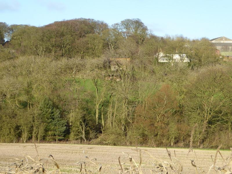
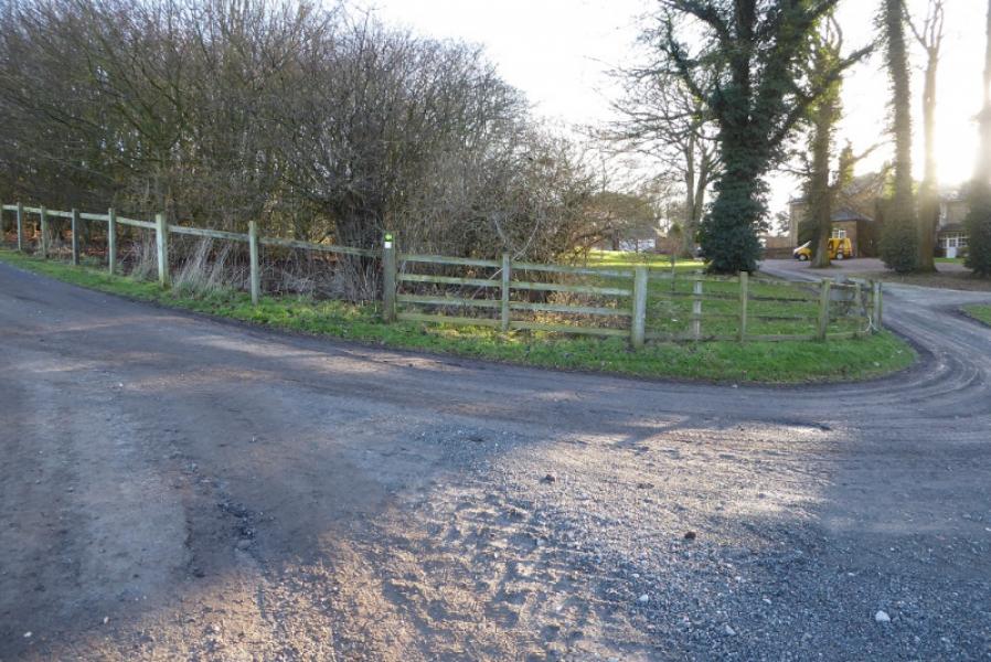
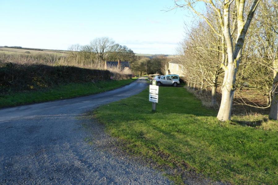
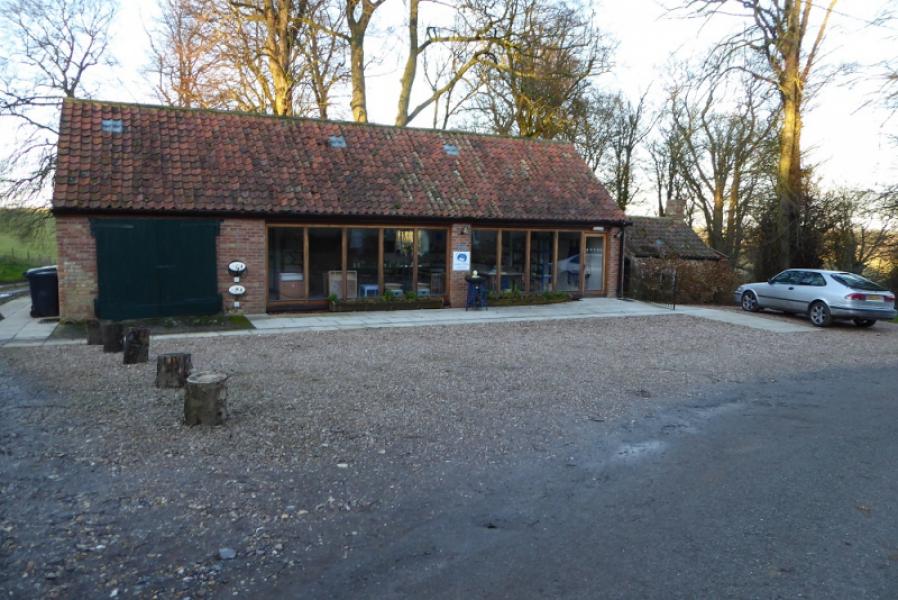
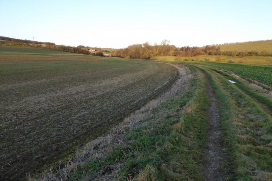
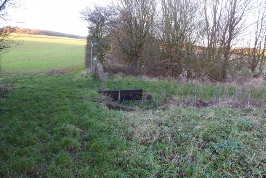
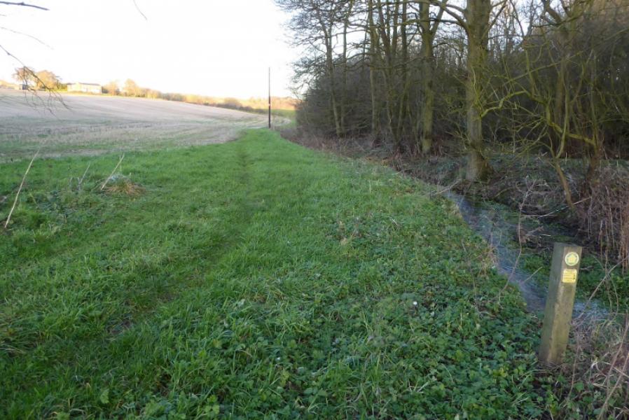
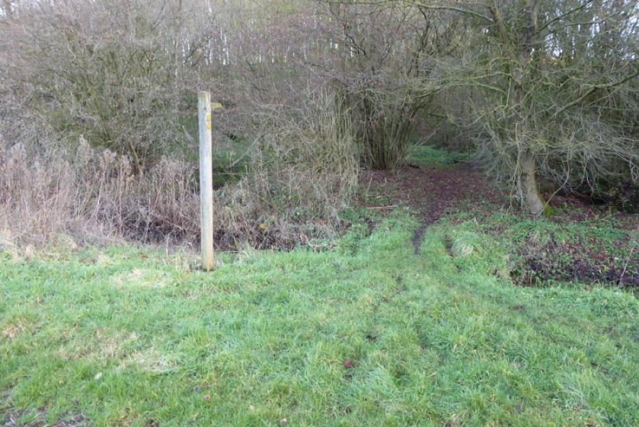
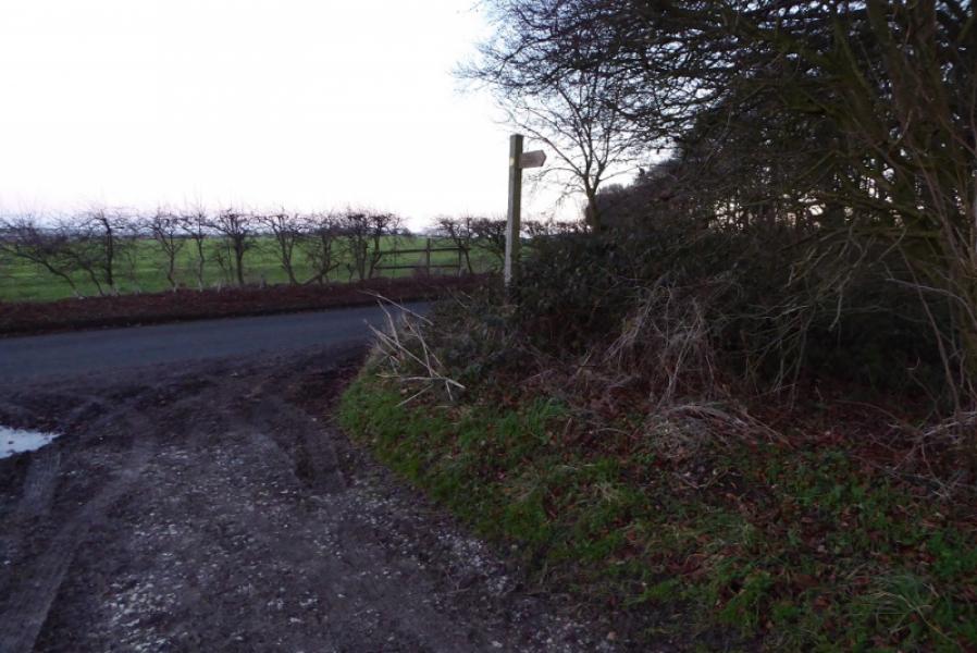
(2) After about another 300 m, look for a sign and stile set back on the right. Cross the stile and follow a faint path either on the left or right of a large scooped hole/possible quarry. Reach a stile on the edge of a wood and go through the wood to join the road to Oxcombe. Walk down the road to Oxcombe Manor and Pottery. Soon after, a signed path goes left then joins a track heading NE across fields. Follow the track. Ignore a right fork well before the wood. Reach a sign post where the way is pointed right then left soon after, following by a small stream. Soon after, another sign directs one into a wood where the path climbs out of the gentle valley to emerge on a track by the side of a field. Follow the track SSE for over 1 km to join the road to Ruckland (from the Bluestone Heath Road). Turn left and walk downhill back to the start.
Notes
(a) This walk took place on 7th January, 2018.
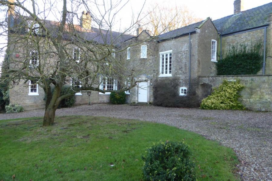
Photos - Hover over photo for caption. Click on to enlarge. Click on again to reduce.