Get Lost Mountaineering
You are here: England » Lancashire » Pendle Hill
Pendle Hill & Mearley Moor from Nick of Pendle
Pendle Hill & Mearley Moor from Nick of Pendle
Start/Finish
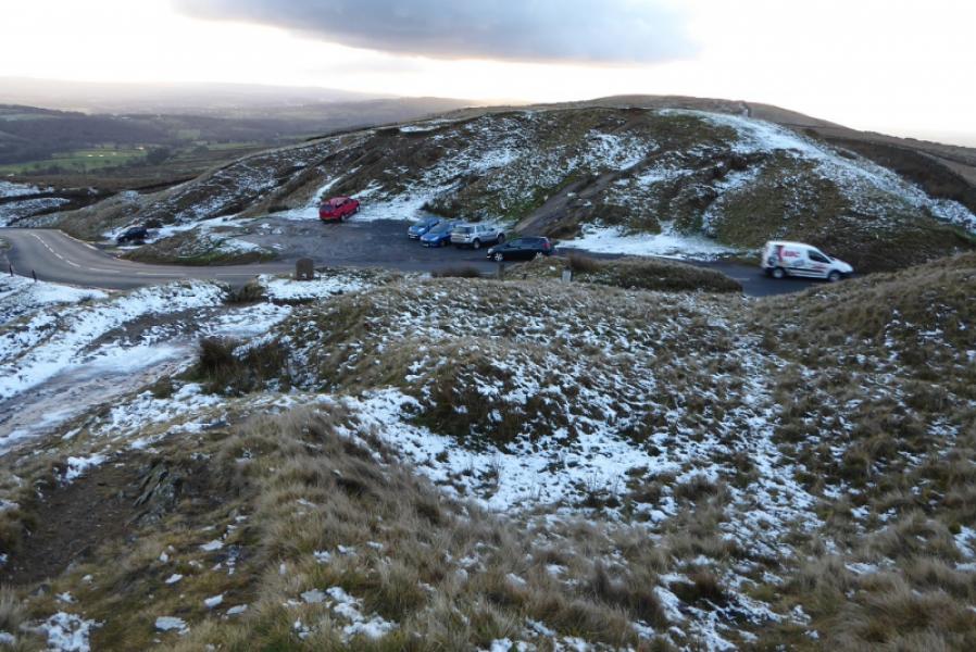
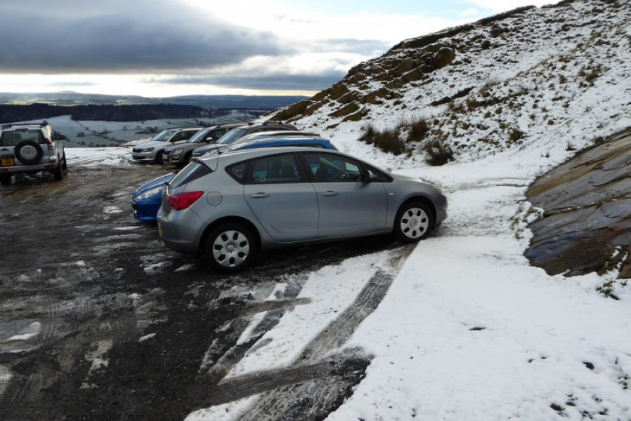
Nick of Pendle roadside rough car park which is at SD 771 386 on the minor road from Sabden to Clitheroe. The nearest postcode for those using SatNav is BB7 9HN. Those approaching from the A6068 to the south will probably go over the steep road to Sabden which has a very steep descent that can be very scary in winter conditions. It would then be easier to approach Sabden from Whalley. The road from sabden to the Nick of Pendle is also quite steep but is usually well gritted but may be impassable in wintry conditions.
Distance/Time
11 km. About 3 – 4 hours.
Peaks
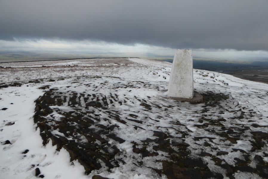
Pendle Hill, 557 m, SD 804 404.
OS 103: Blackburn, etc. OL 21: South Pennines.
There is also a very detailed map of this area called “Paths Around Pendle” which is published by Duncan Armstrong & Associates, 01282 778591. This is available in the area including the cafe at Barley which is another common starting point for Pendle Hill.
Introduction
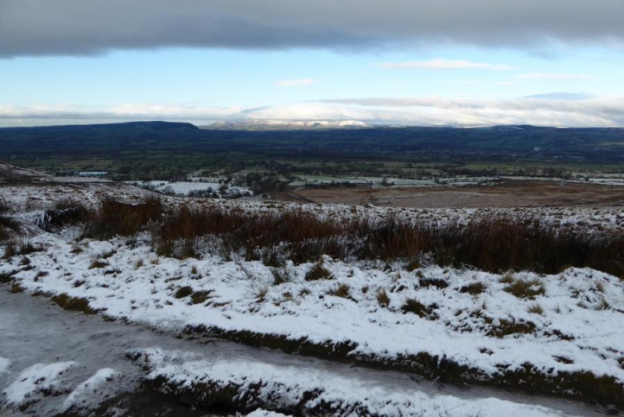
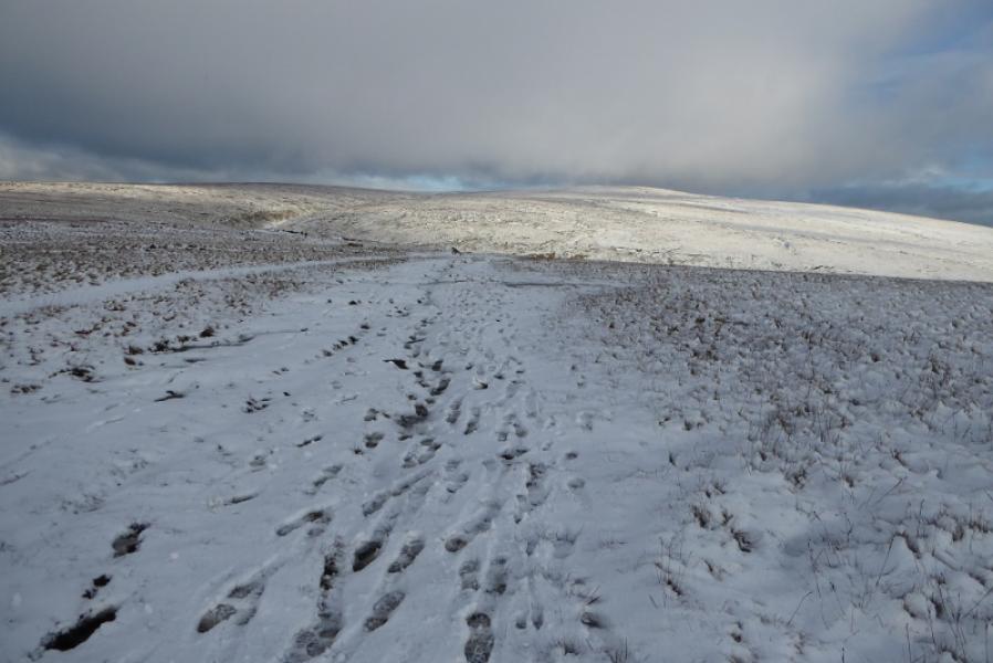
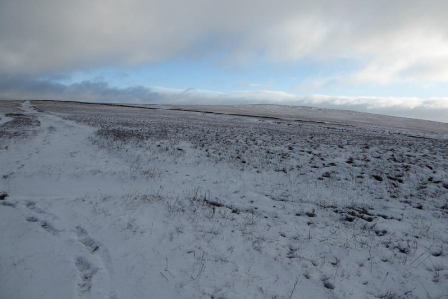
Some may consider Pendle Hill to be of modest height but it dominates the surrounding countryside and is well seen from far away. Starting at the Nick of Pendle gives less ascent but a slightly longer approach than from Barley. There are fairly distinct paths to follow but the ground can be quite boggy in places. This is a better walk when snow lies on frozen ground and the sky is clear.
Route
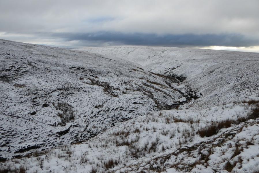
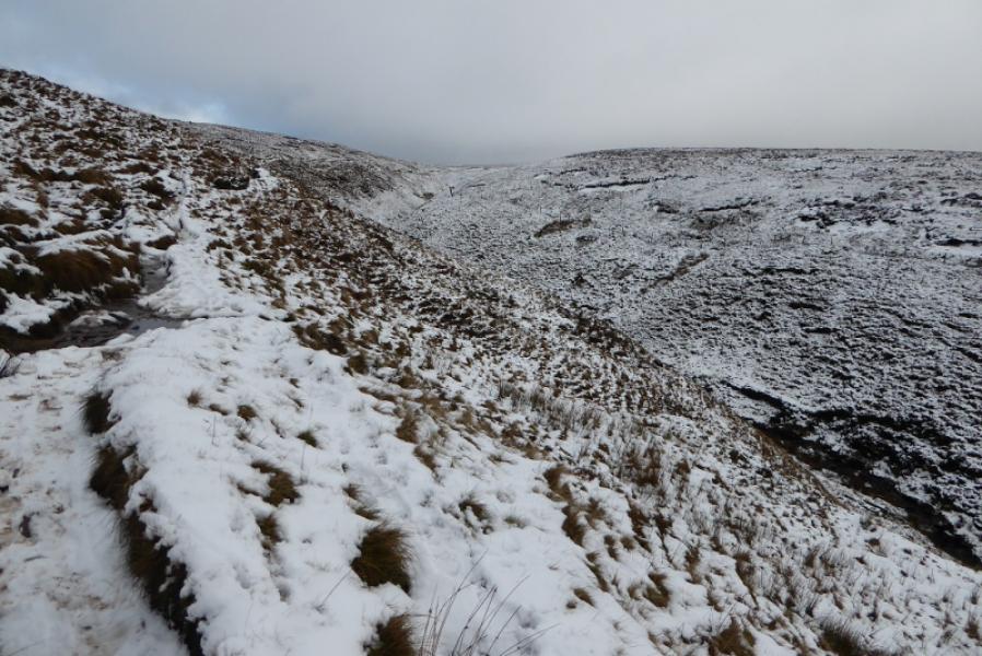
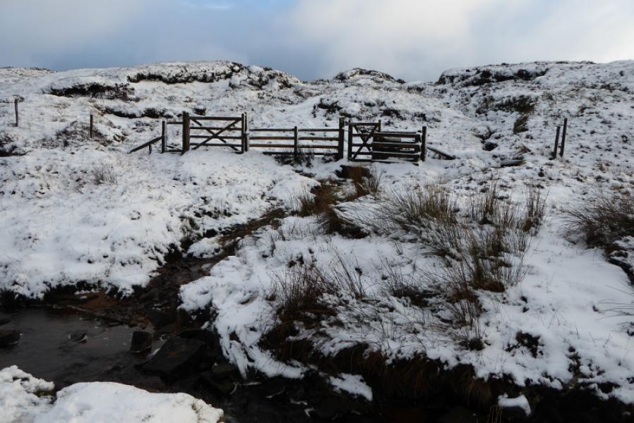
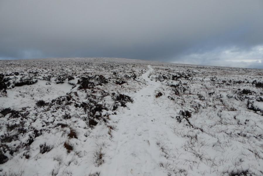
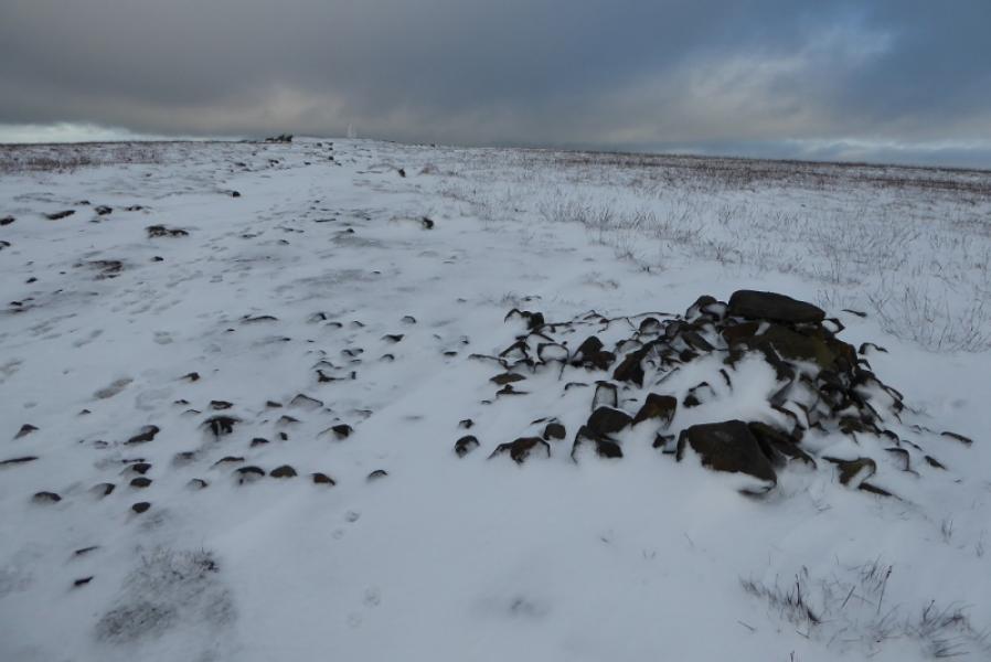
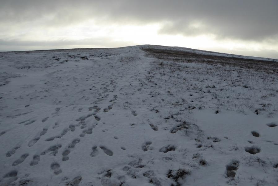
(1) Cross the road from the car park and follow the obvious path(s) up on to the ridge and head E onto Apronfull Hill then Badger Wells Hill. About here the main path splits with the right fork heading towards a wall well off to the right. Take the straight ahead option which continues E towards Ogden Clough which is quite steep sided. Before the clough is reached, the path drifts left to reach the side of the clough then follows the clough up on its W side and well above the river. A little further on, the clough and path curve around to the E. Stay with the path until it becomes level with the river (now a stream) opposite a gate. Cross over, usually easily, and go through the gate then pick a way up on a path which soon becomes slabbed. When some large cairns are reached the trig point is close and soon reached. This is the summit of Pendle Hill, 557 m.
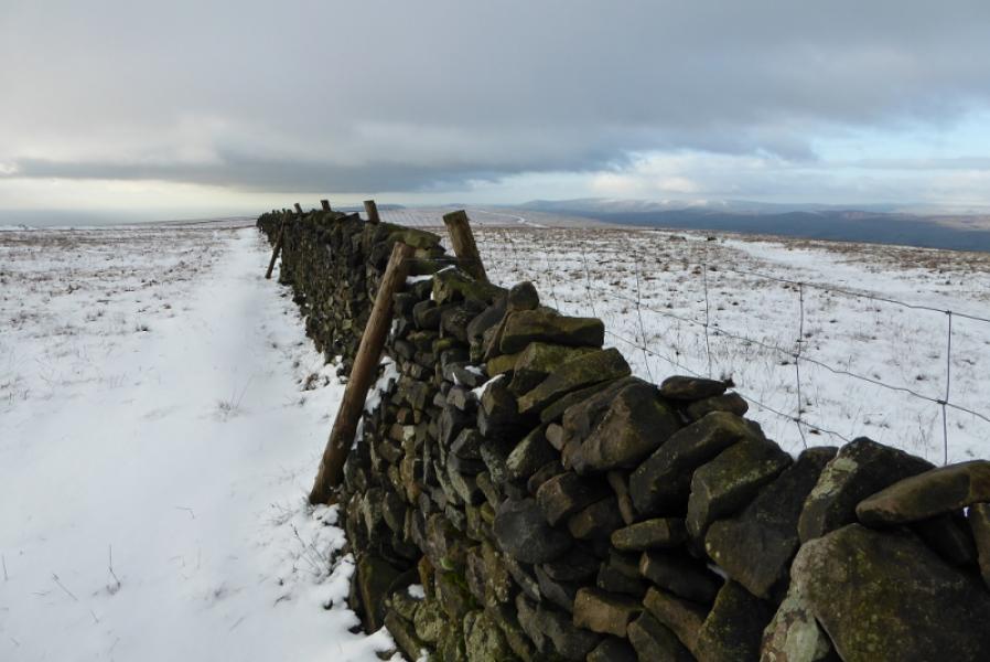
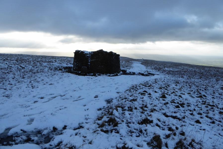
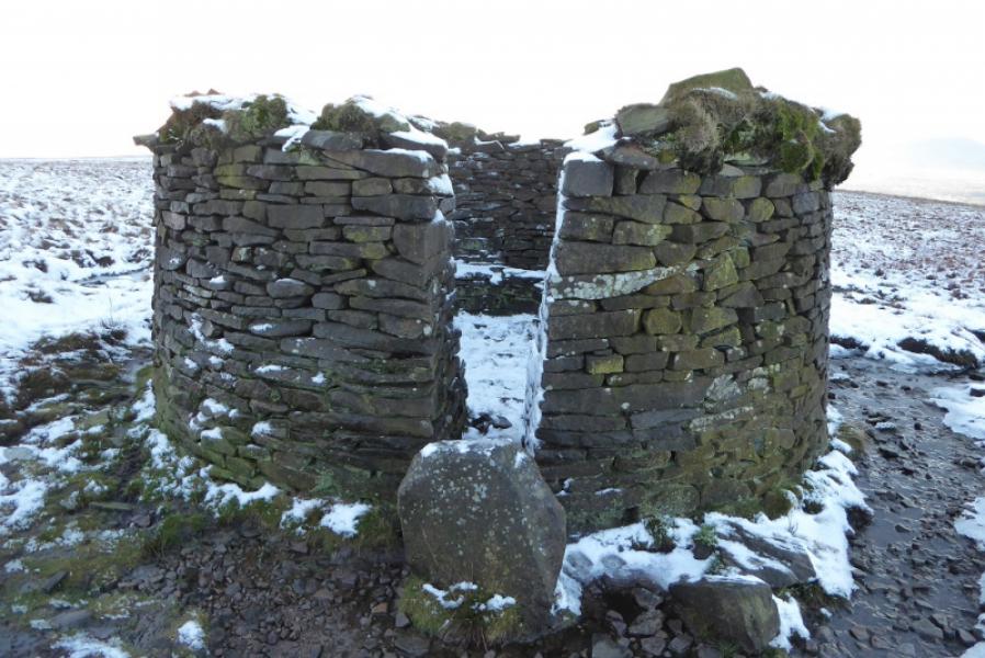
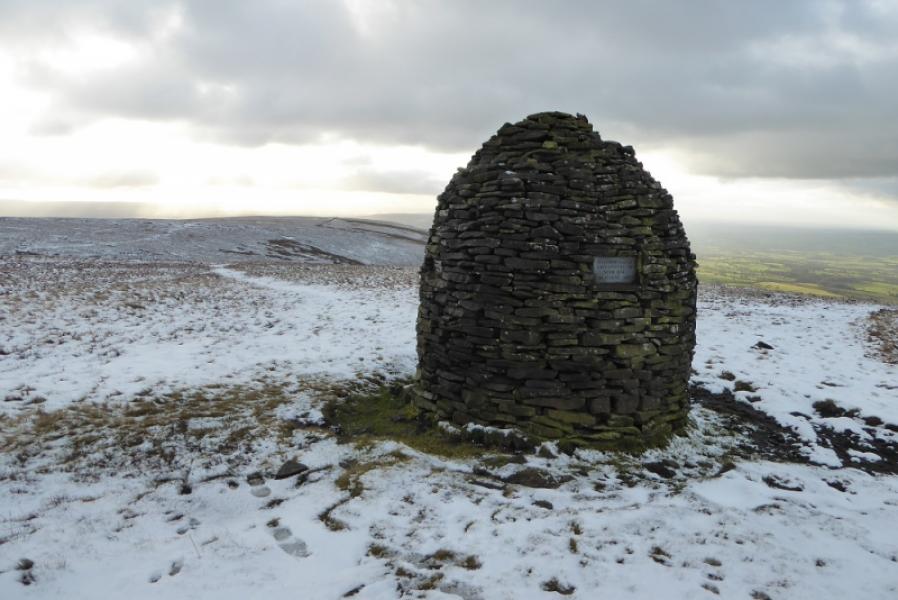
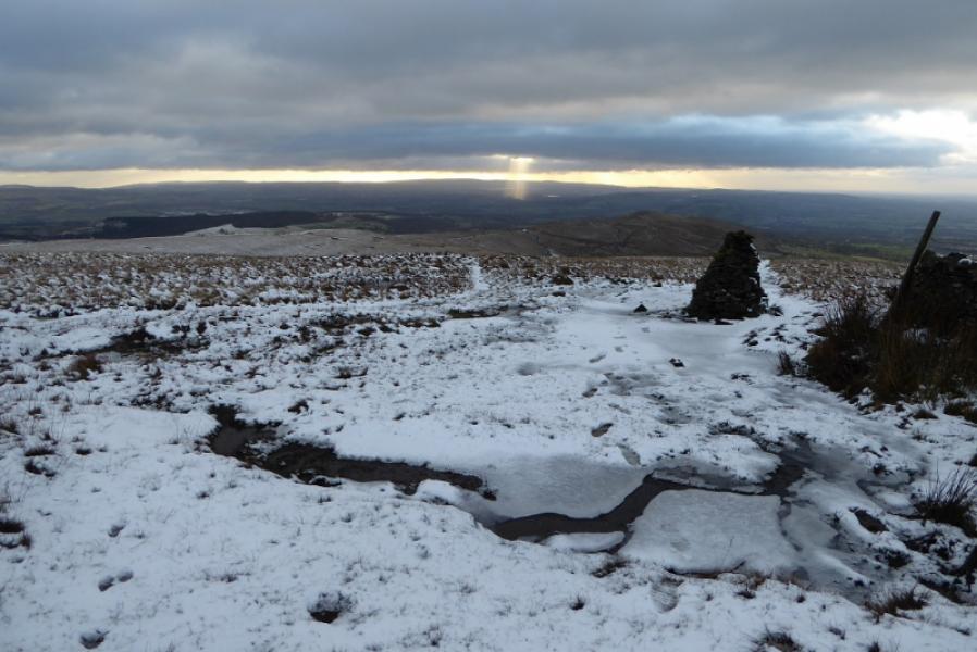
(2) Continue past the summit, heading roughly NE, to soon reach a wall with a gate and stile. Cross over and follow the path going roughly NW. After about 1 km, cross a wall by a stile then continue, now W, to reach a shelter cairn which offers good protection against cold winds. Soon after, reach the Scout Memorial Cairn. The path now goes around the top of a wide gully then resumes heading roughly WSW and soon starts to follow a wall. There is a significant cairn at a corner on this wall. Go left here to contour around near the top of Ashendean Clough giving some final views of Pendle Hill summit. Cross the stream easily then continue to rejoin the outward route on Badger Wells Hill then walk back to the start.
Notes
(a) This walk took place on 15th December, 2017.
(b) There are many other routes on Pendle Hill which are well worth exploring.
Photos - Hover over photo for caption. Click on to enlarge. Click on again to reduce.
 and Apronfull Hill from Nick of Pendle approach.JPG)