Get Lost Mountaineering
You are here: England » South Pennines
White House to Hebden Bridge via Pennine Way
White House to Hebden Bridge via Pennine Way
Start/Finish
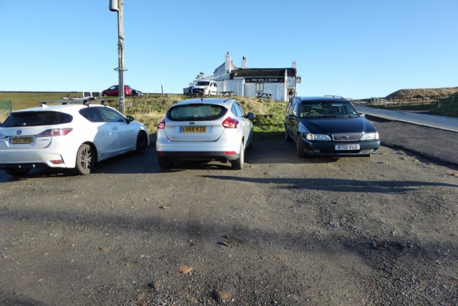
Free, very rough, car park just below The White House Inn which is just below Blackstone Edge Reservoir at SD 968 178 on the A58 road from Littleborough to Ripponden. The Inn is a well known land mark being painted white! It is about 3 miles from Littleborough and about 5 miles from Ripponden. The car park is very rough so drive very slowly in it. The White House is a very good place to eat.
Distance/Time
13 km. About 4 hours.
Peaks
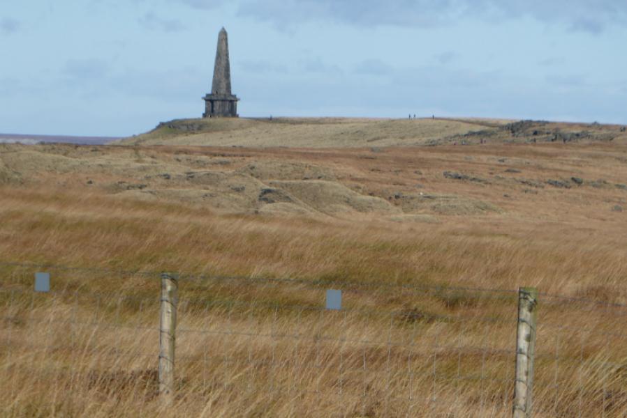
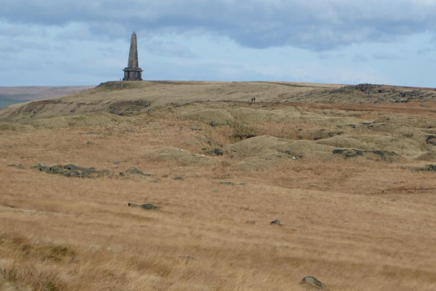
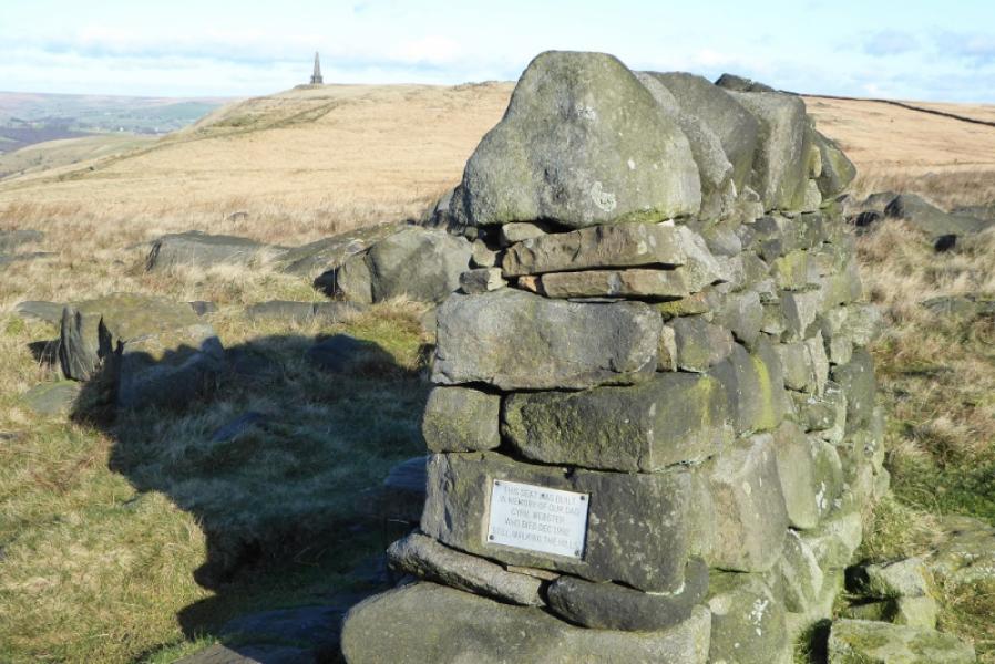
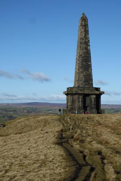
Stoodley Pike Monument, 402 m, SD 973 241. OS Outdoor Leisure 21: South Pennines.
Introduction
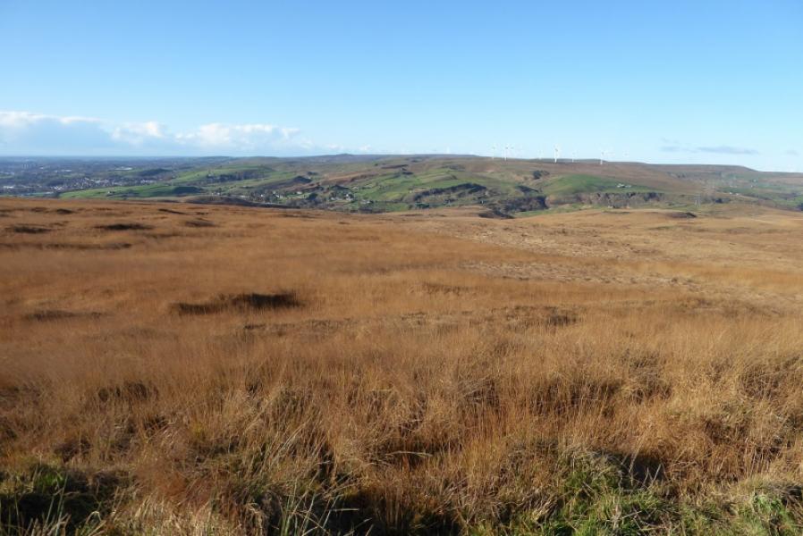
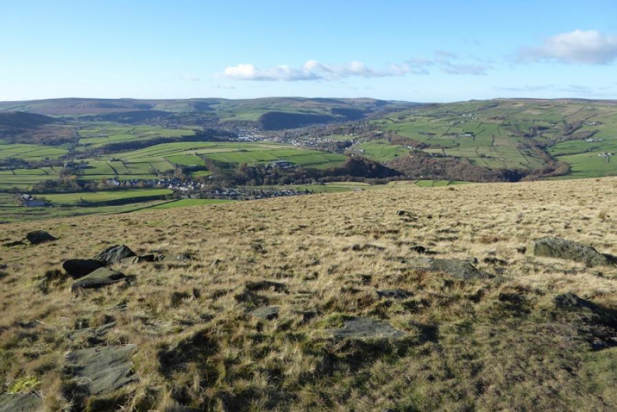
This is a very straightforward walk with little ascent as the White House is not far off 400 m so much of the walk is level or gently inclined. The steepest section is the descent into Hebden Bridge. Apart from the final descent into Hebden Bridge, the route is all on the Pennine Way which is boggy in a few places. There are good views including valleys and reservoirs not to mention the huge obelisk known as Stoodley Pike Monument. Note that this is a linear route and needs two cars. One can be left near Littleborough station and the other at the White House. The walk is then from the White House to Hebden Bridge station to catch the train back to Littleborough. The trains are fairly frequent but Hebden Bridge is a lovely small town with many interesting pubs, cafes and shops and it is well worth allowing time to wander around the town centre. On 12/11/17, there was some work on the Pennine Way which meant a short detour.
Route
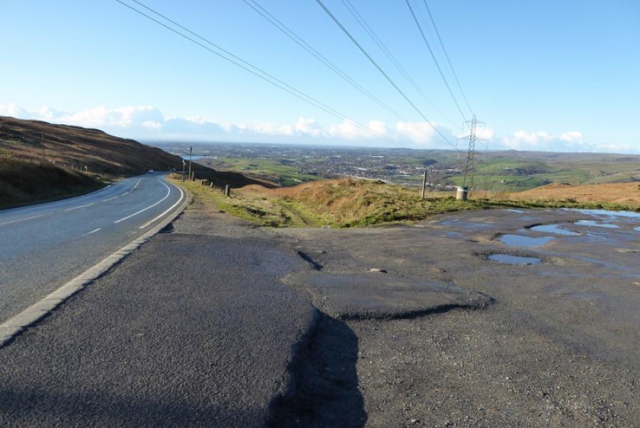
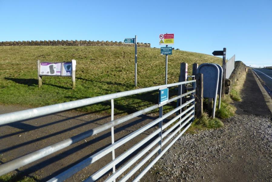
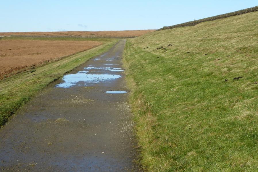
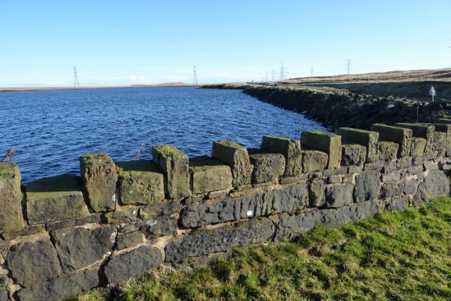
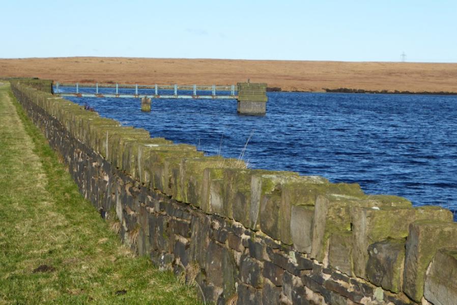
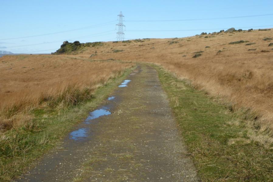
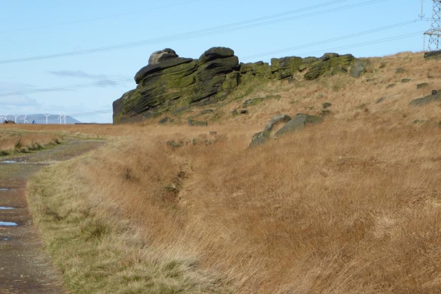
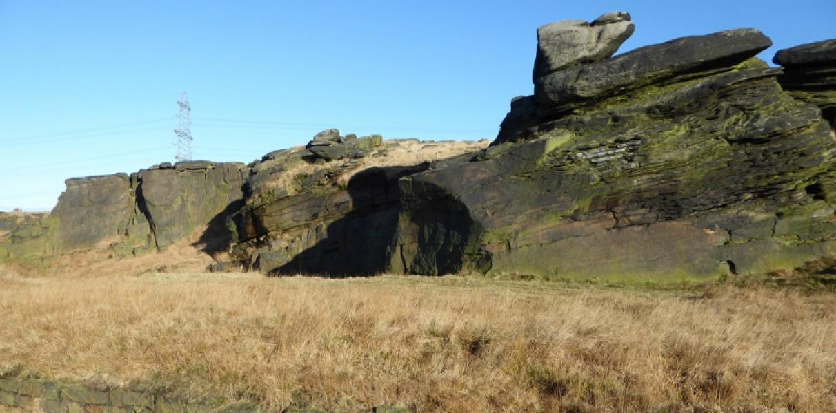
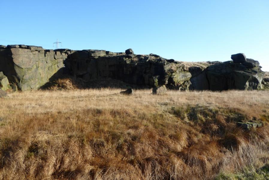
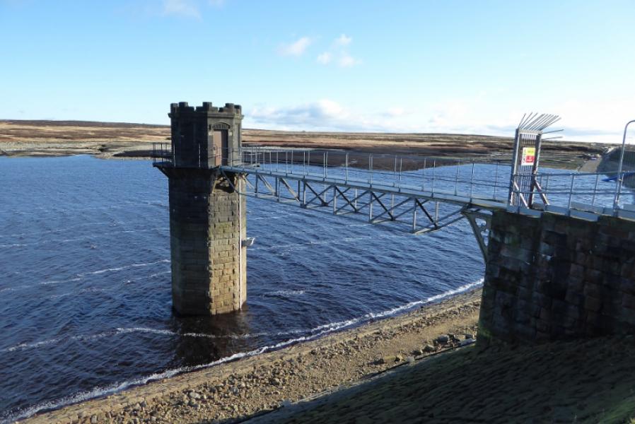
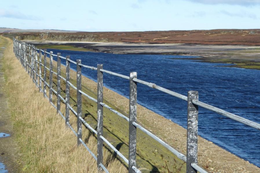
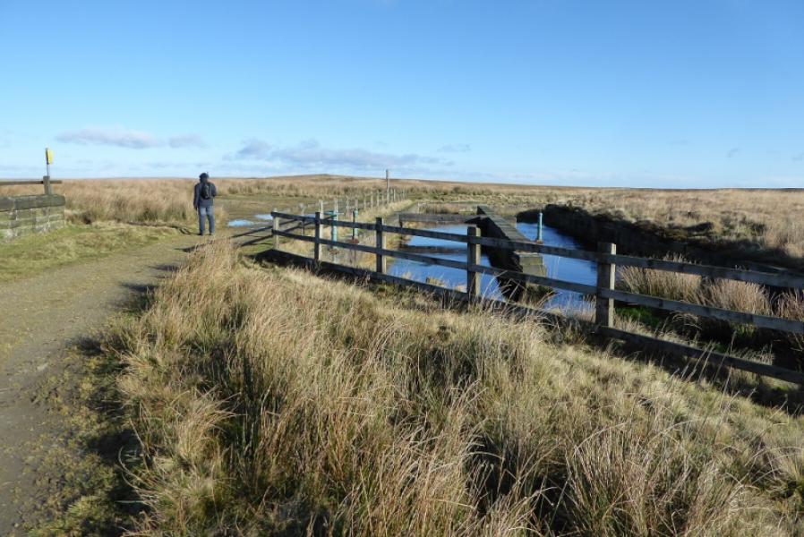
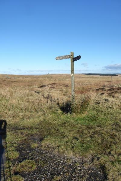
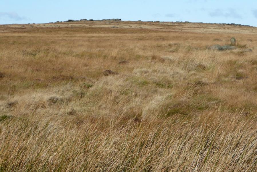
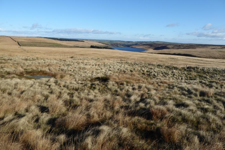
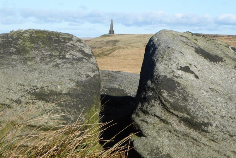
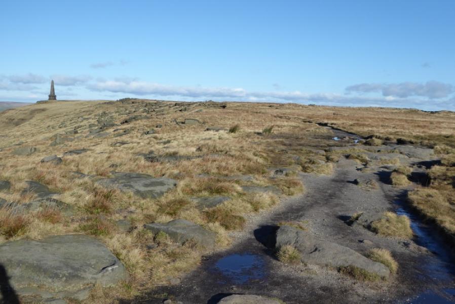
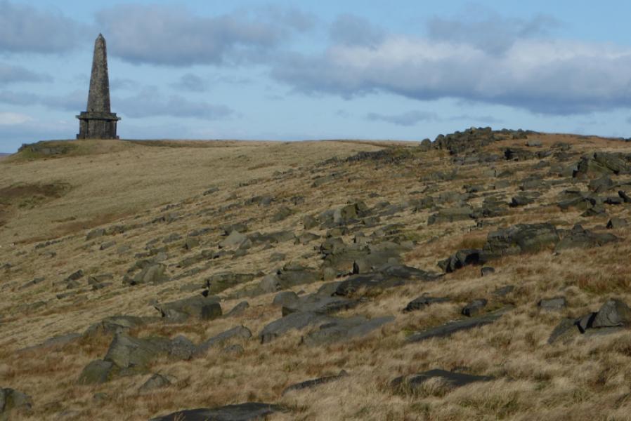
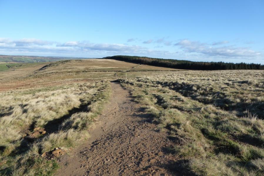
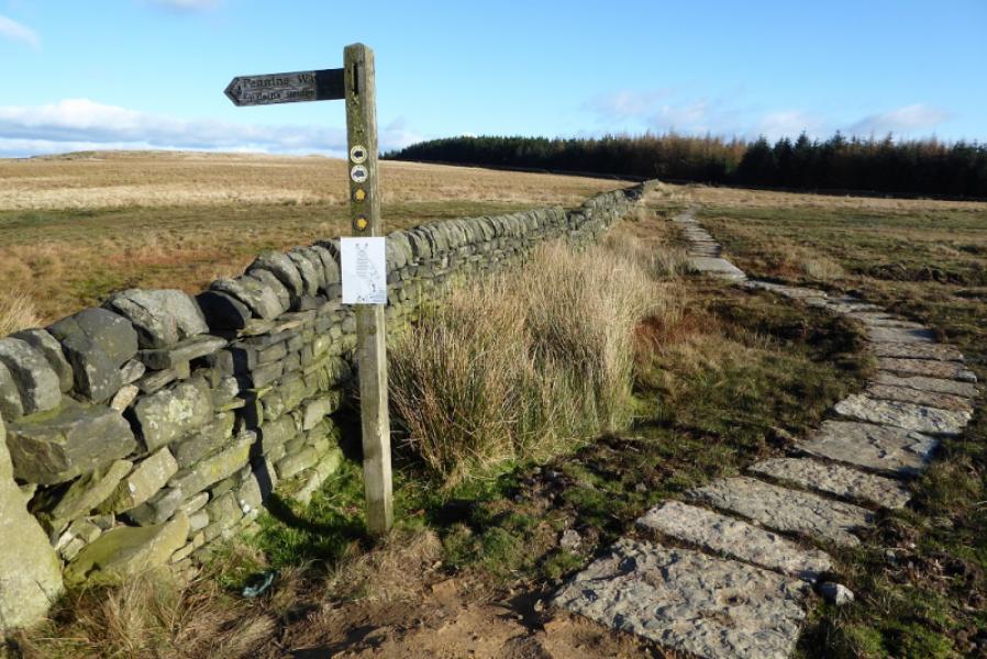
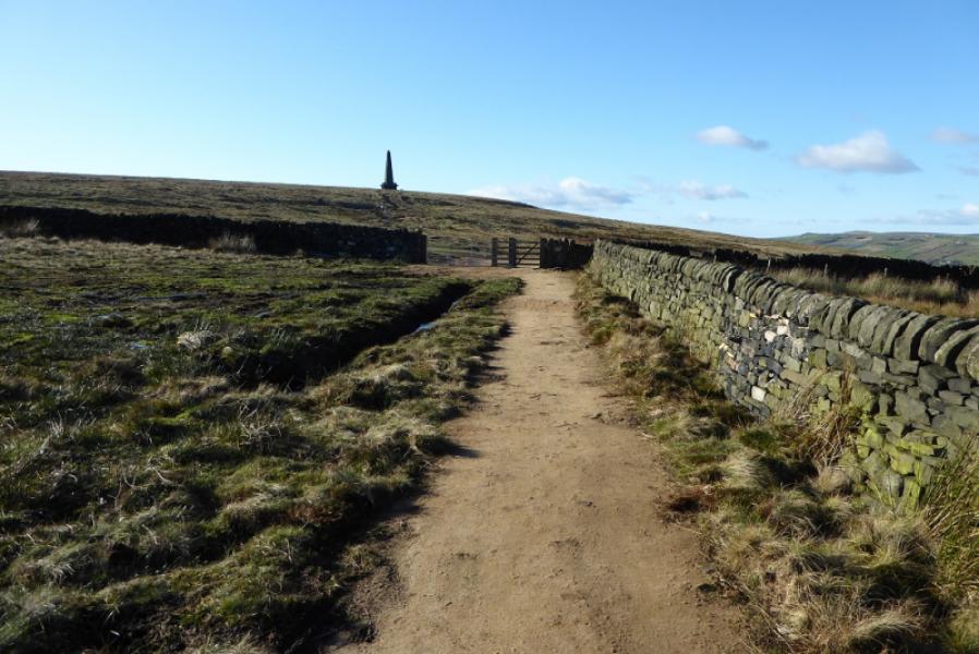
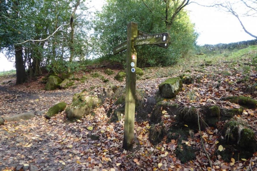
(1) Walk up the road past the White House to reach the sign indicating the Pennine Way going NW below the grassy dam wall of Blackstone Edge Reservoir. Follow the track and continue past the narrow Light Hazzles Reservoir to reach Warland Reservoir. If the diversion is still in place, do not follow it around the E side of the reservoir as this is quite long. Instead, go left and follow a rough path on the other side of the low fence down to the left which by passes the works. Climb back up to the track along the top of the dam when the steps are reached then continue to the end of the reservoir. Continue N for about 200 m before turning E then curving around to the N to pass to the E of of Coldwell Hillthen turning E for a short distance before heading NNE towards Stoodley Pike Monument, 402 m, a huge obelisk. There are steps inside taking one up to a balcony but it is almost pitch black climbing the stairs so take a torch!
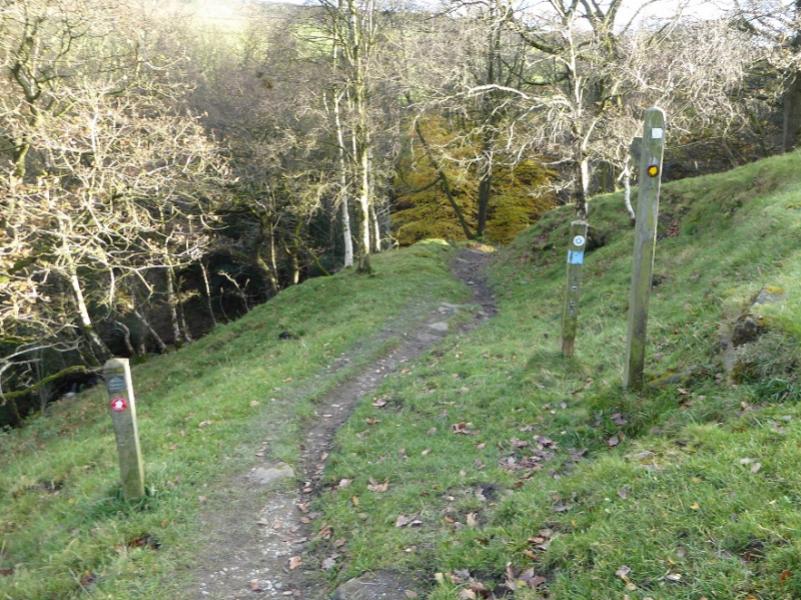
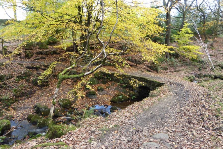
(2) Follow the Pennine Way E from the monument which goes left before the obvious wood is reached. This next section has the worst ground. Descend to a crossroads of paths and go straight across. The ground gets even worse for a while! Reach a stile which is not shown as the Pennine Way on the map which is actually about a 100 m further. Either path can be taken though and one aims for the top left corner of the field. Look for the slabbed path as the ground is almost like a swamp! Once out of this field, follow the grassy path/track towards Lower Rough Head Farm then follow the good track/road down to the wood to the E of Edge End Farm. Go past the first path on the right until the path cutting back on the right is reached. Take this and descend gently to the old bridge over the stream then up the other side to join a bridleway which can be followed down. It becomes a cobbled road then a tarred one and is quite steep – steep enough to be hazardous in winter. At the bottom of the road, go left. The quickest way to the station is to follow the canal. To wander round the town, continue past the Co-Op then turn right for the town centre.
Notes
(a) This walk took place on 12th November, 2017.
Photos - Hover over photo for caption. Click on to enlarge. Click on again to reduce.