Get Lost Mountaineering
You are here: Scotland » 16 Coigach to the Pentland Firth » Lairg to Laxford Bridge to Tongue
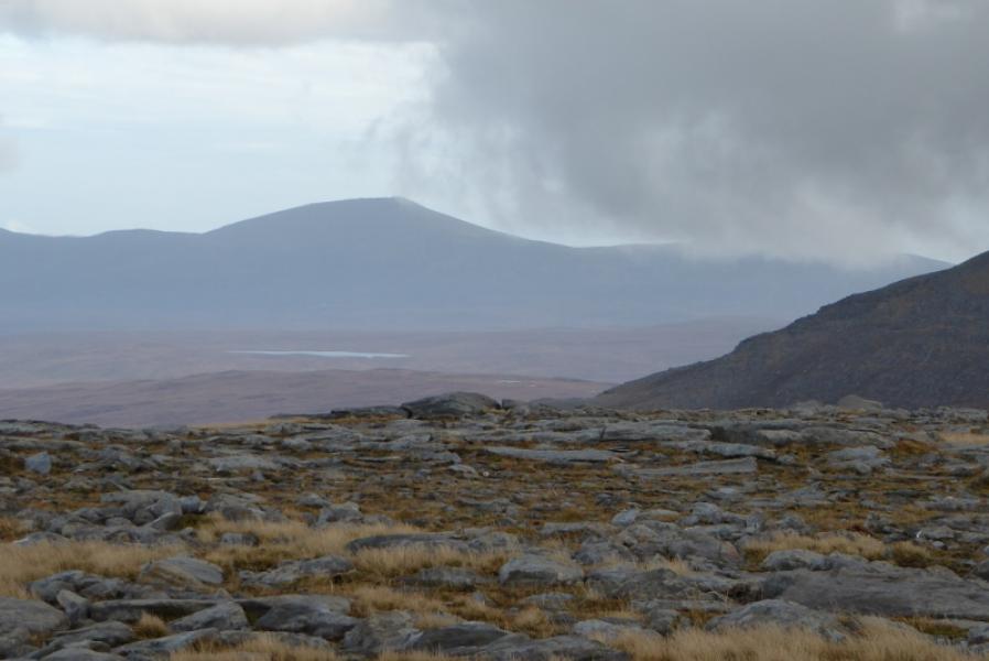
Carn an Tionail & Beinn Direach from West Merkland
Carn an Tionail & Beinn Direach from West Merkland
Start/Finish
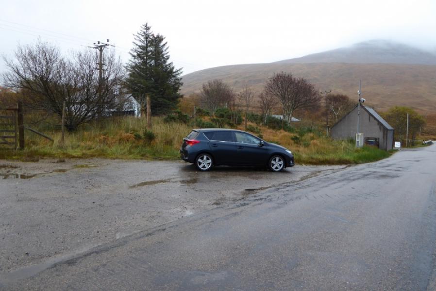
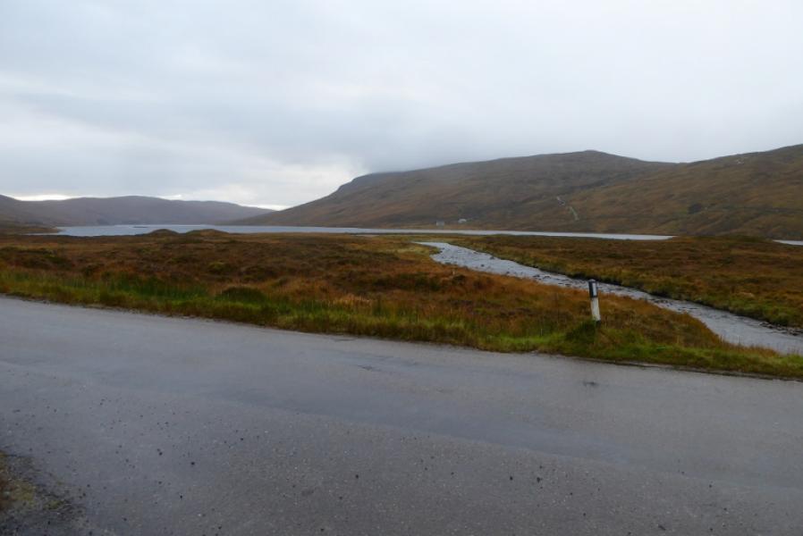
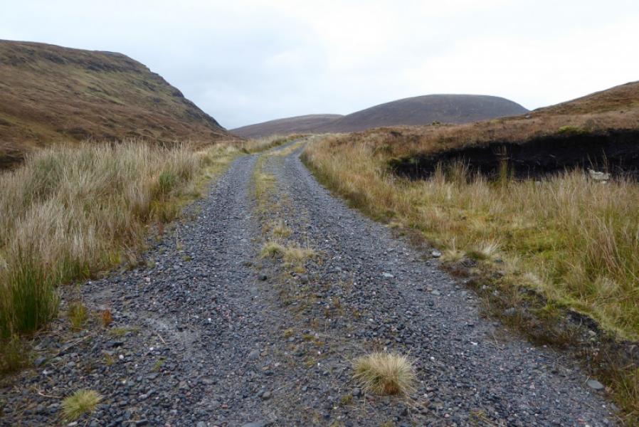
West Merkland on A838 Lairg to Laxford Bridge road where there is a cottage. Just north of here is a wide entrance to a seemingly disused track where one can park sensibly. West Merkland is about 22 miles north of Lairg.
Distance/Time
14 km. About 6 hours.
Peaks
Carn an Tionail, 759 m, NC 392 390.
Beinn Direach, 688 m, NC 406 380. OS map 16: Lairg & Loch Shin.
Introduction
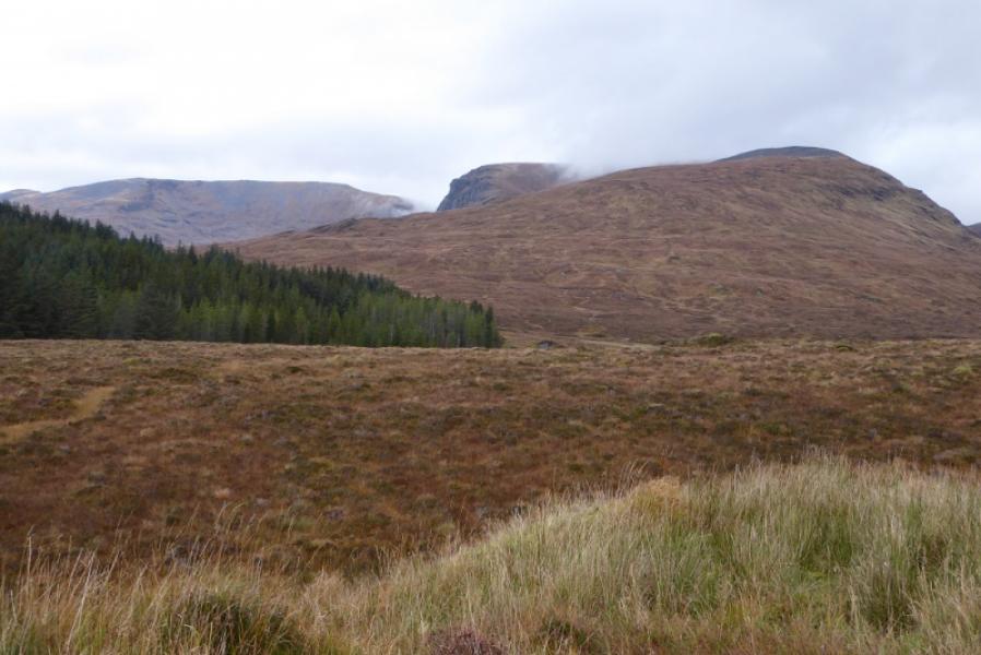
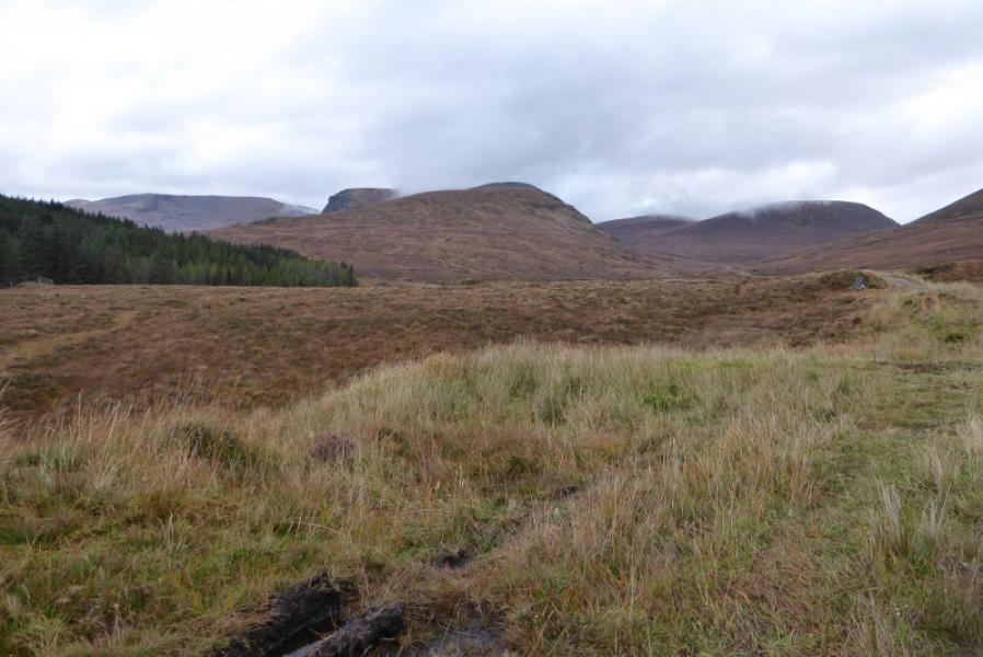
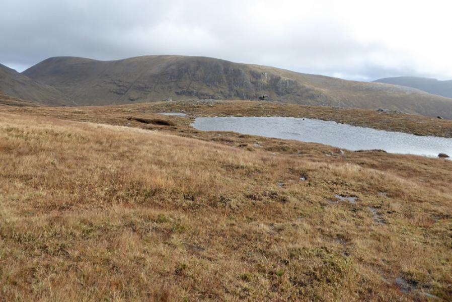
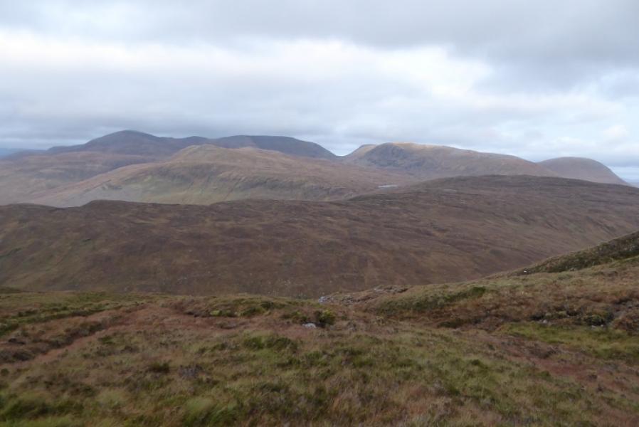
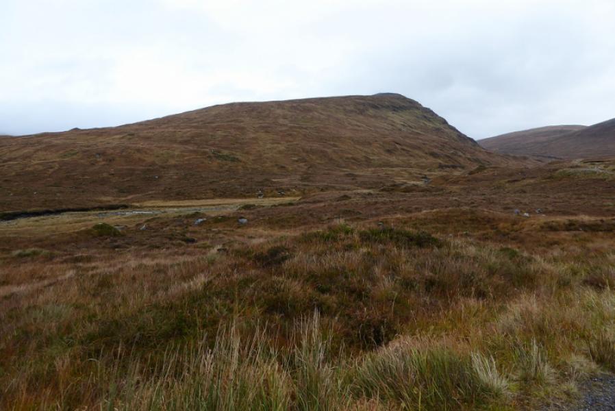
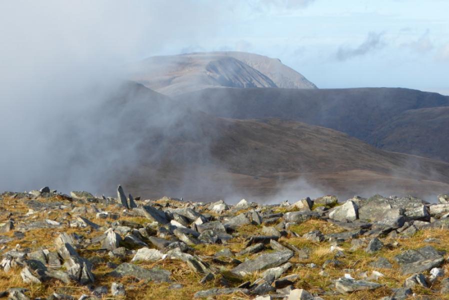
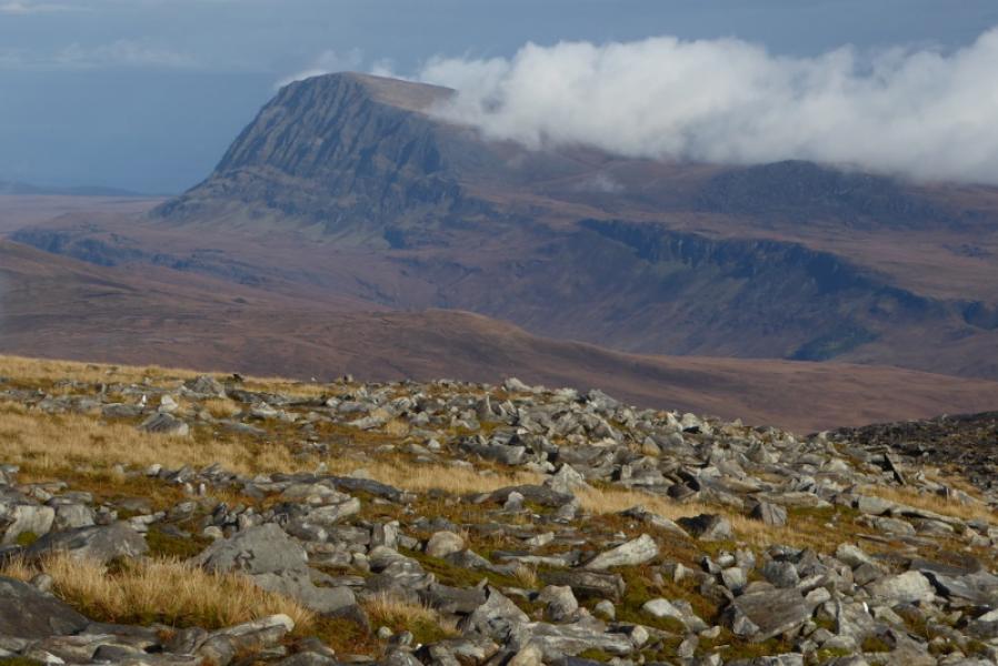
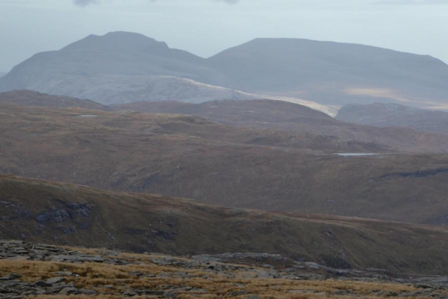
This is a pleasant route, on reasonably good ground, with a good track at the start and finish. In clear weather, there are excellent views to Ben Hee, Meallan, Liath Coire Mhic Dhughaill, Ben Hope and Ben Klibreck. Even Ben More Assynt and Conival can be seen in very clear weather.
Route
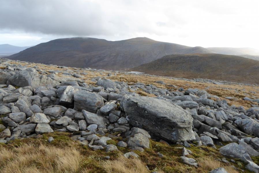
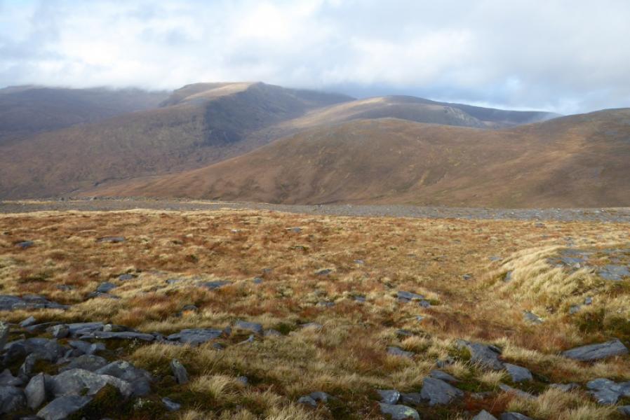
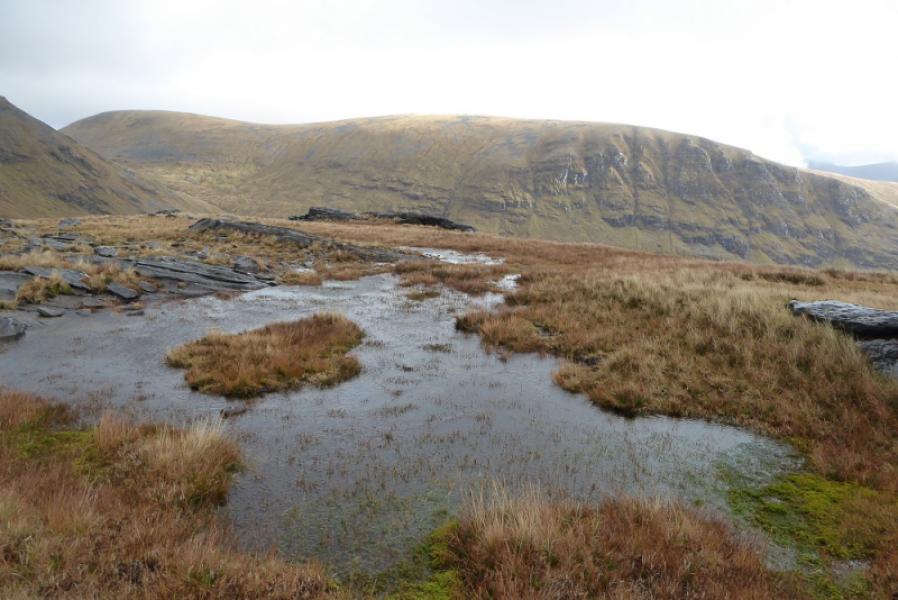
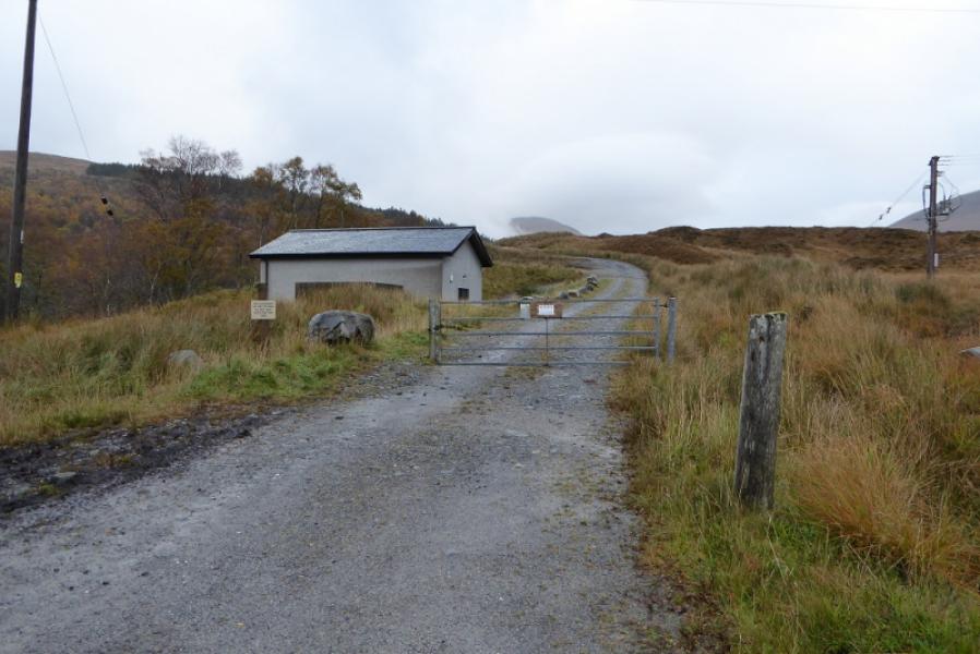
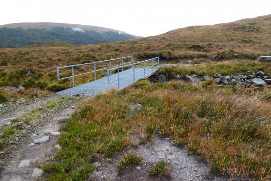
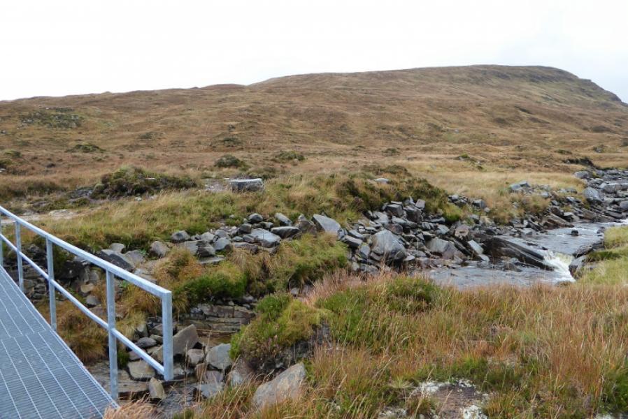
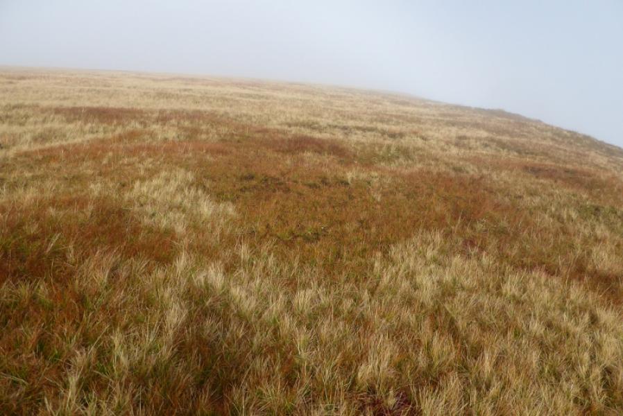
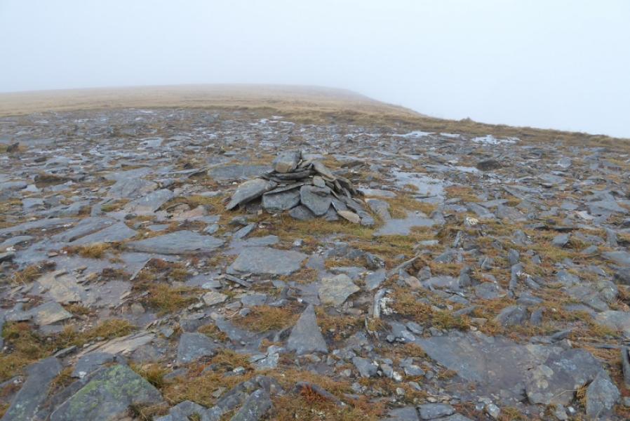
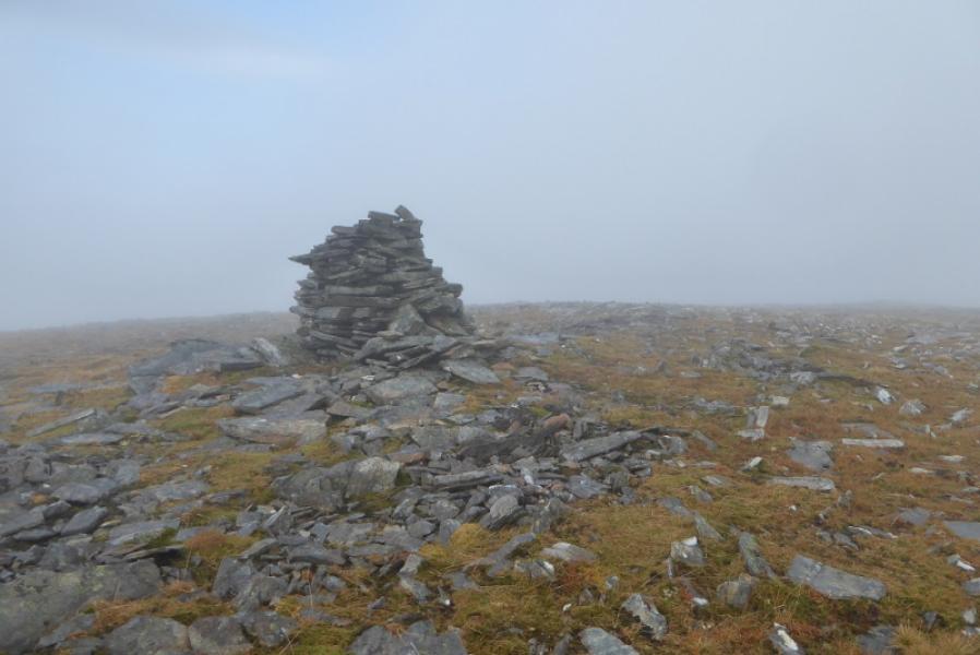
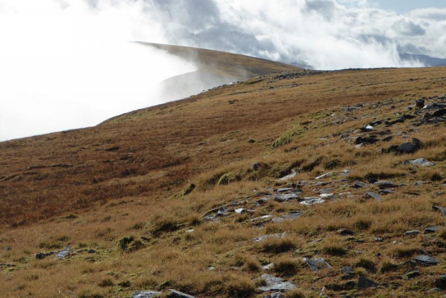
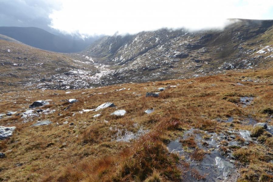
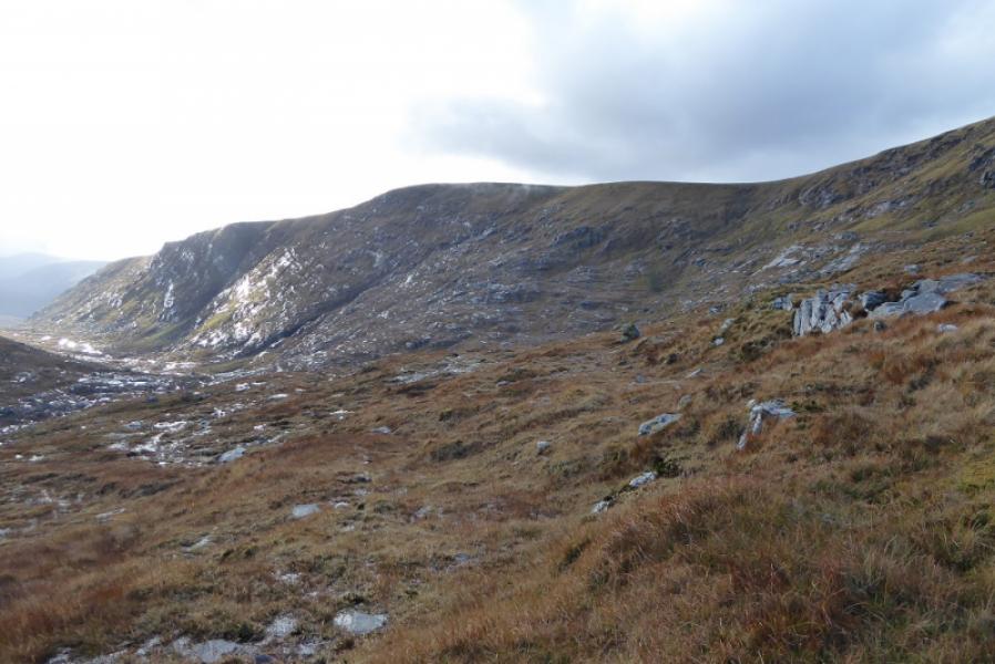
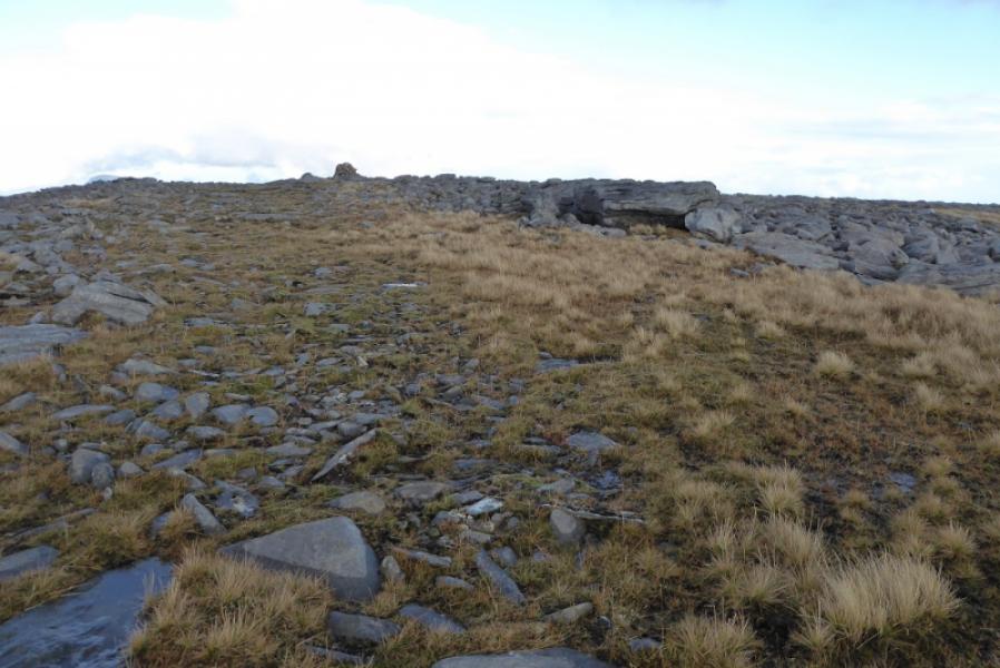
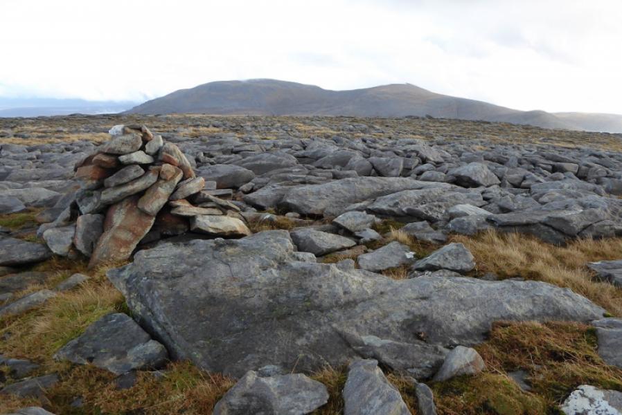
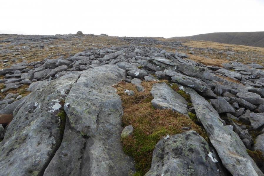
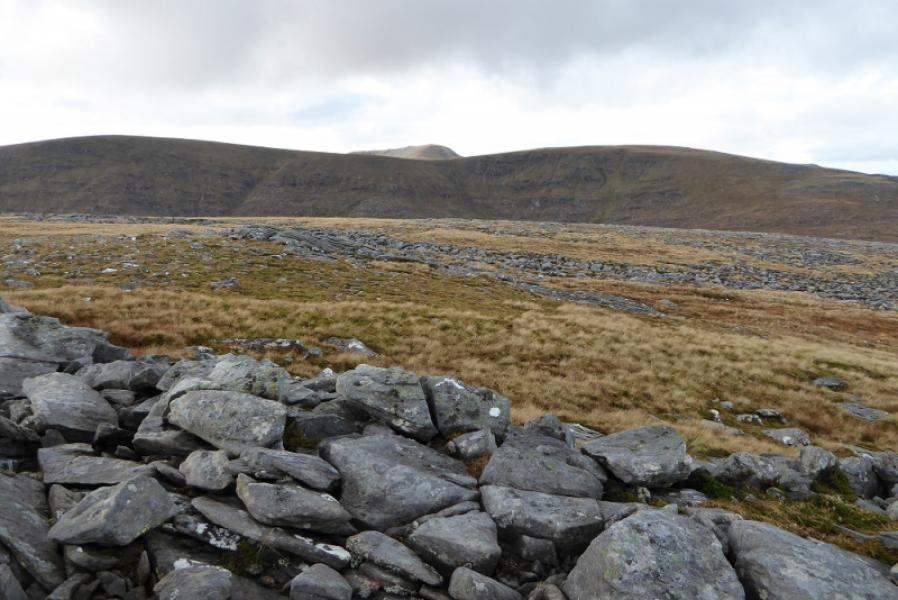
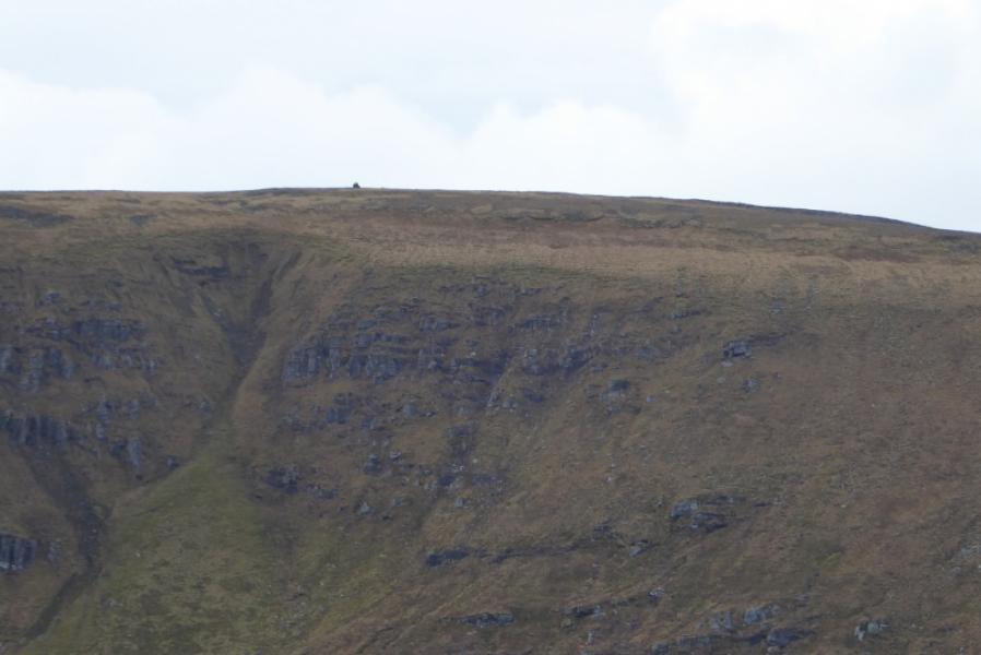
(1) Walk up the track. Pass a track going off left. Cross the river coming down from Ben Hee. Not far after, opposite a peat bank on the right, another track goes off left. Follow this down to a metal bridge over the river. On the other side is a rough ATV track. Follow this but soon leave as it starts heading S without climbing and follow a much more faint ATV track going more directly up to the ridge above. Higher up, the ATV track becomes easier to follow and, generally, heads N before petering out when stony areas are reached. From here, it is probably easiest to go to the right, E, and follow the edge up. The ridge is quite grassy and featureless but eventually leads to a plateau where there is a medium cairn which marks the S Top of Carn an Tionail. Continue on the ridge, descending about 50 m on a very gentle gradient before ascending about 60 m to reach the large and tall cairn on the W side of the crest which is the summit of Carn an Tionail, 759 m.
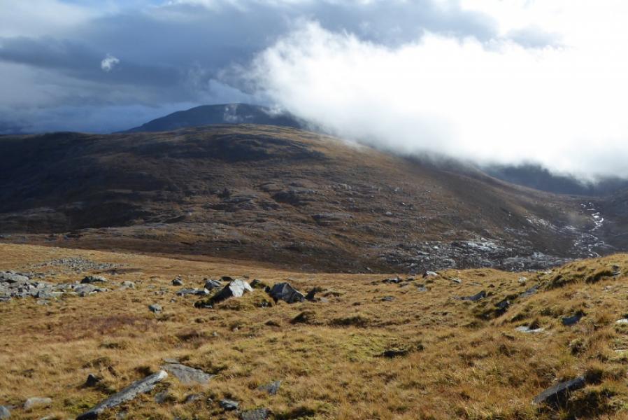
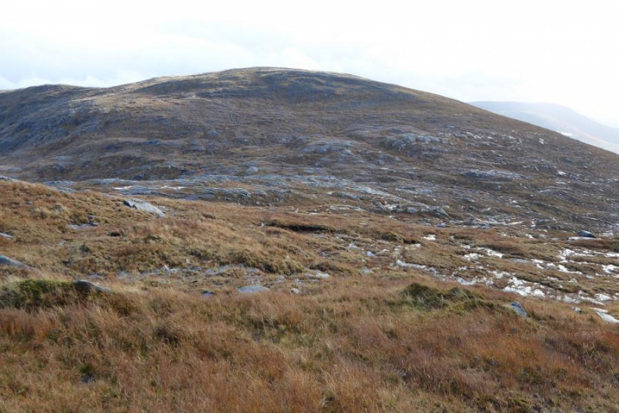
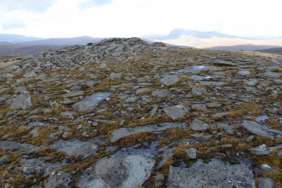
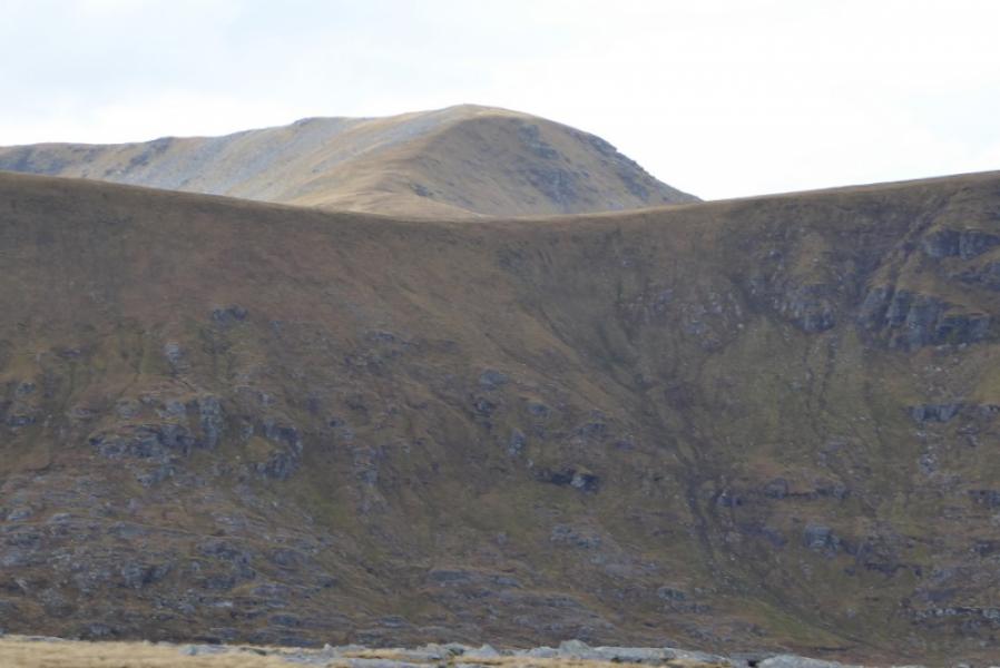
(2) Descend about 400 m NE on easy ground then about 300 m E on slightly steeper ground before turning S down to the broad but very ill-defined col which is littered with numerous ground slabs. Start picking a way up the other side on generally easy ground. Try not to drift too far to the right as the cairn is more to the left, N, on the summit plateau. Reach the summit plateau where a medium cairn marks the summit of Beinn Direach, 688 m. A low outcrop about 30 m N is of similar height but has no cairn.
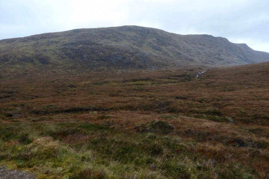
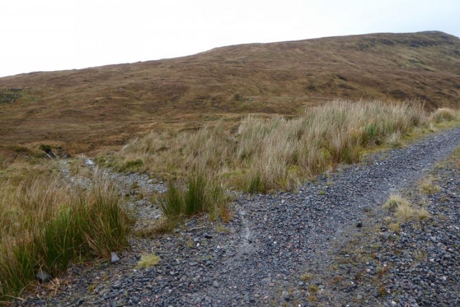
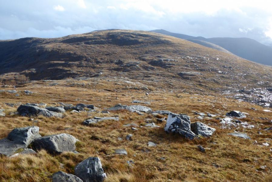
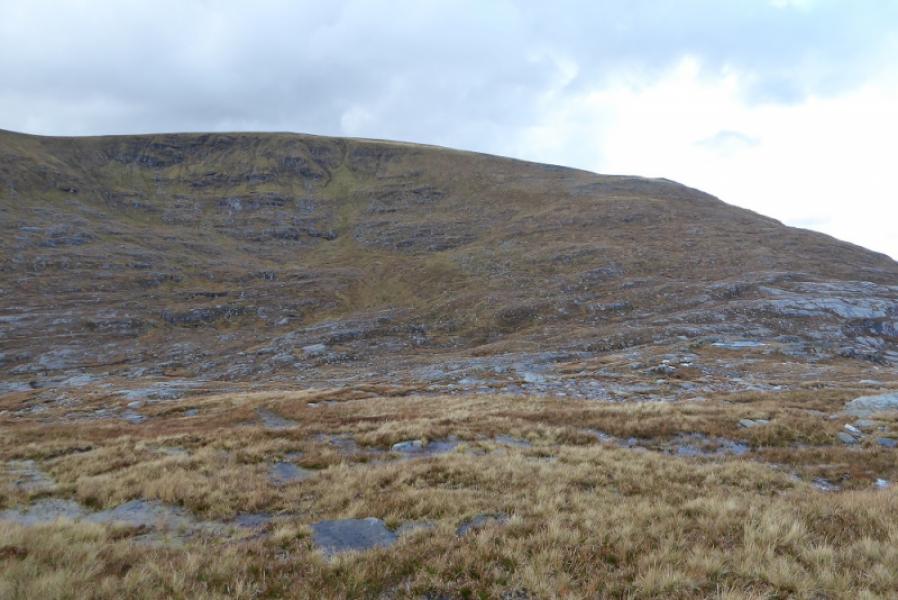
(3) Descend roughly S, heading towards the bealach below Meall a' Chleirch. There is a faint ATV track in places which can be followed when it seems to be going in the right direction but the ground is easy to walk anyway. Make a descending traverse across the W flank of Meall a' Chleirich aiming for the main track back to West Merkland. There is an ATV track on this flank but it is not that easy to locate and can be very greasy after rain but it does lead down to the main track which is then followed back to West Merkland.
Notes
(a) This walk took place on 23rd October, 2017, and on 31st July, 1998, by the same route.
Photos - Hover over photo for caption. Click on to enlarge. Click on again to reduce.
 & Meall a' Chleirich from track from West Merkland.JPG)
, Meall a' Chleirich & Sail Garbh from track from West Merkland.JPG)
 & Meall a' Chleirich from track from West Merkland.JPG)

 & Ben Hee from Beinn Direach.JPG)