Get Lost Mountaineering
You are here: Scotland » 17 Islands » Mull
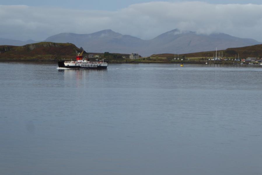
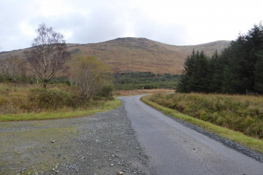
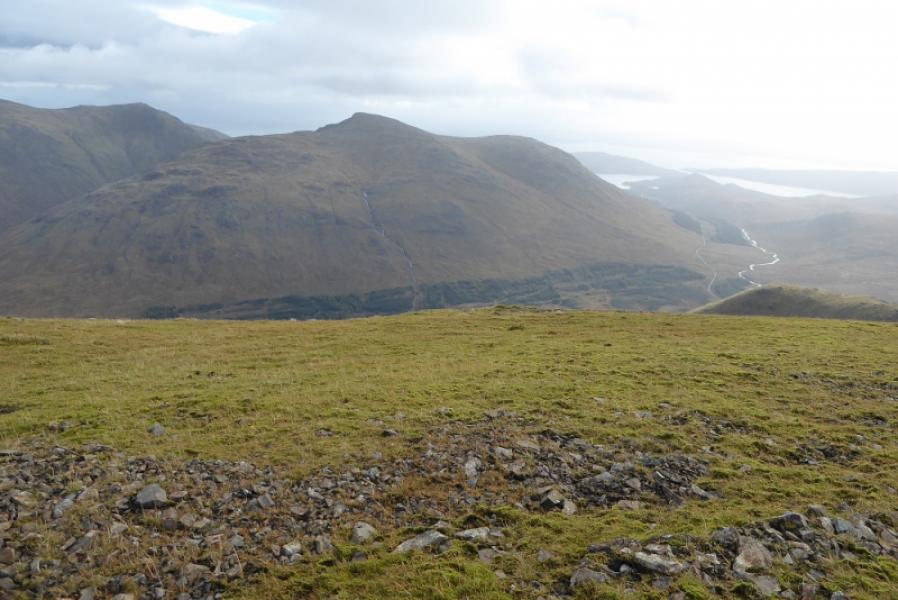
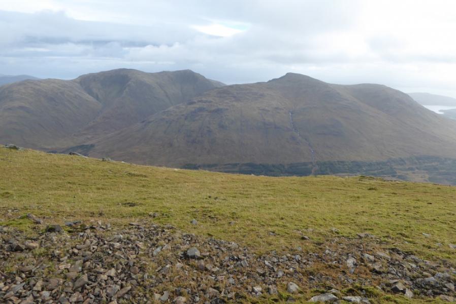
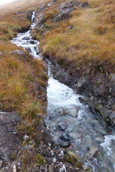
Sgurr Dearg from A849 near Torness Ruin
Sgurr Dearg from A849 near Torness Ruin
Start/Finish
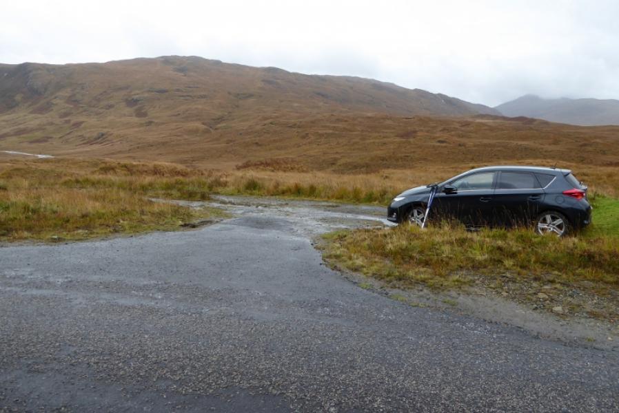
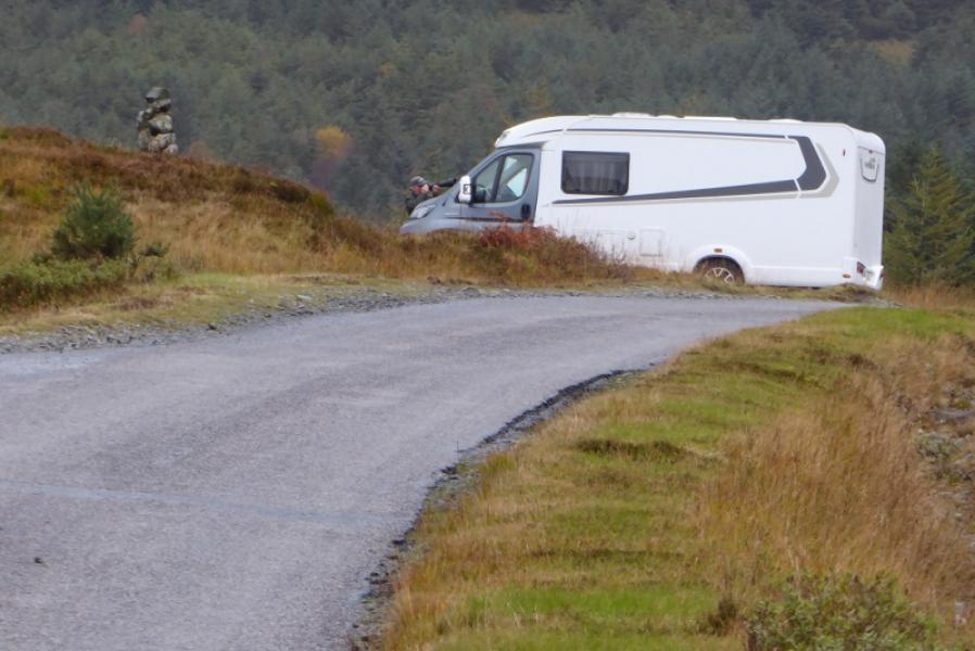
Torness ruin, to east of apex of A849, Craignure to Bunessan road at about NM 649 326. This is about 19 miles from Bunessan and about 9 miles from Craignure pier. There is a bridge at the apex with crash barriers and a forestry track heads north from the eastern side of the bridge. There is some old road at Torness which can be parked on or park at the start of another section of old road about 200 m to the east.
Distance/Time
5 km. About 4 hours.
Peaks
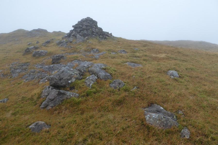
Sgurr Dearg, 741 m, NM 665 339. OS sheet 49: Oban & East Mull.
Introduction
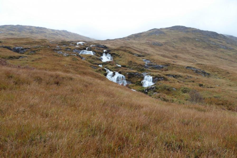
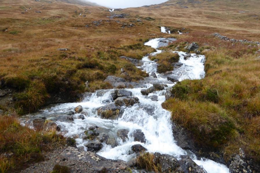
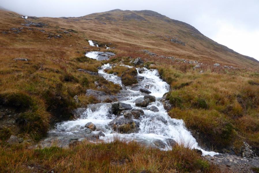
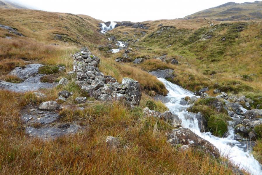
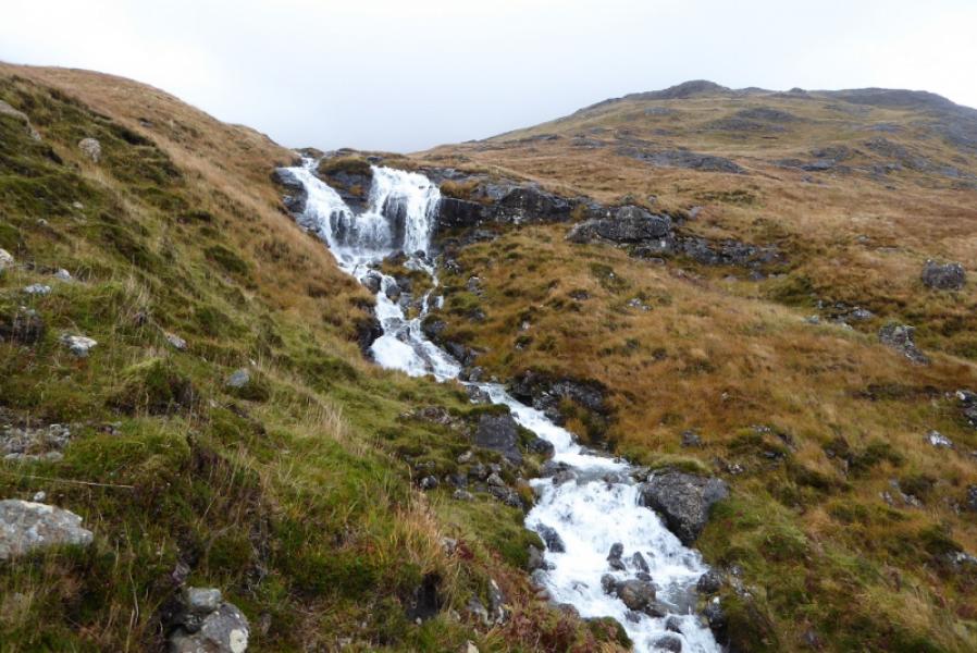
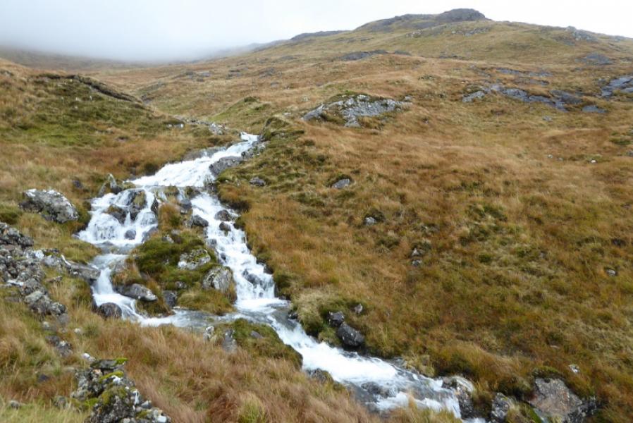
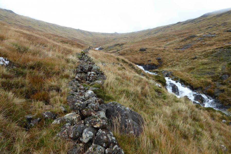
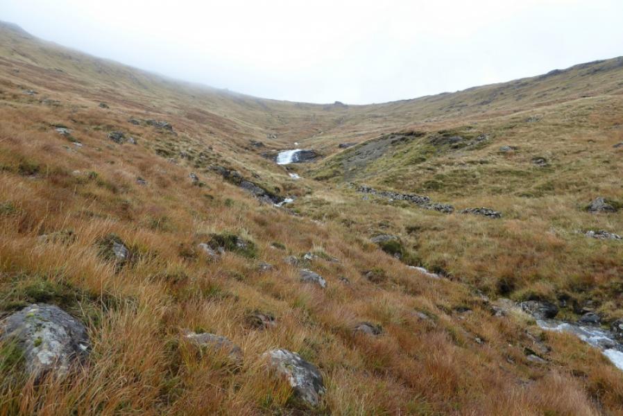
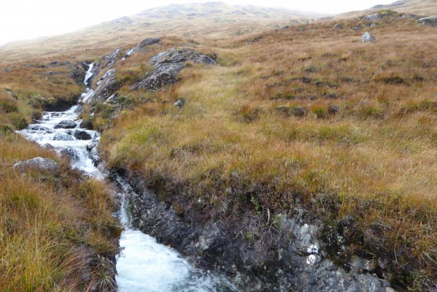
This is, arguably, the most pleasant of all the high Mull summits to ascend. The ground is generally good with very little rough vegetation, there are no steep sections there is a faint path, a succession of attractive waterfalls are passed, an old wall guides one to the top of Coire nan Each, the summit has a good sized unmistakeable cairn and there are excellent views.
Route
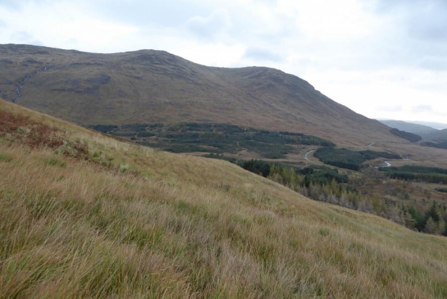
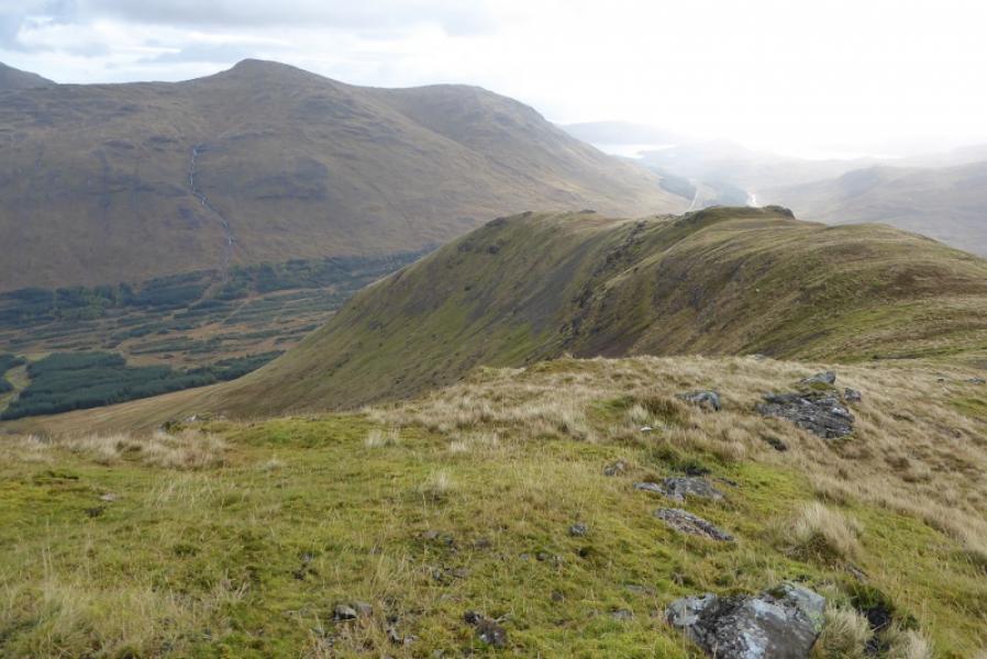
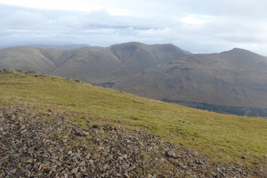
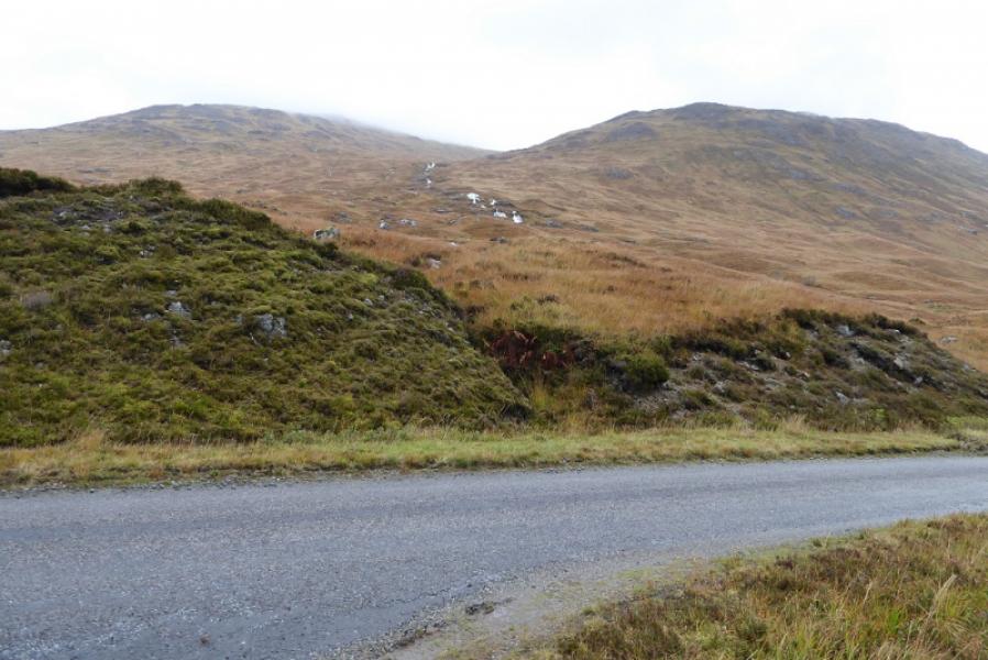
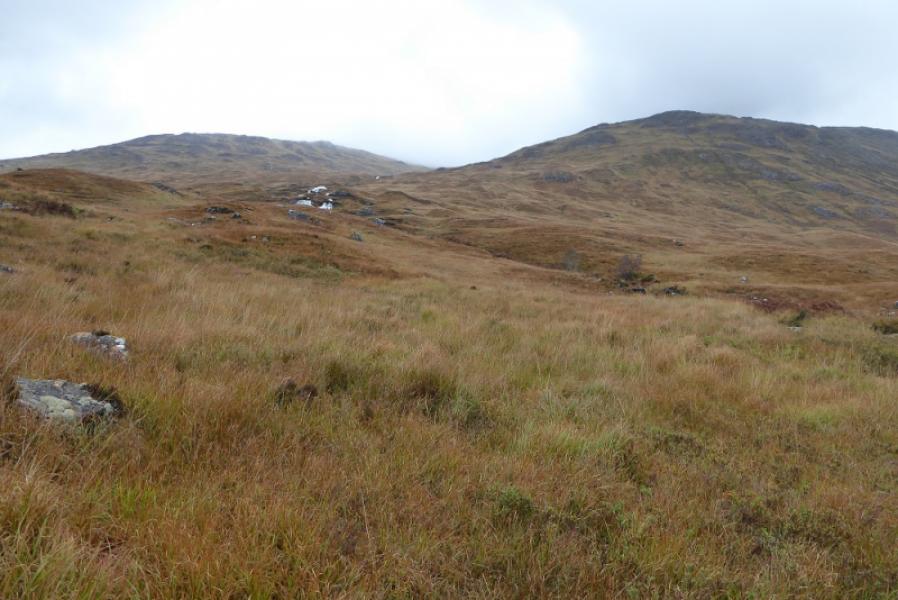
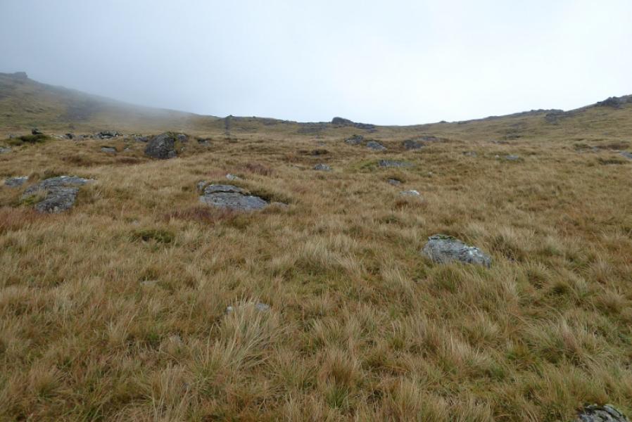
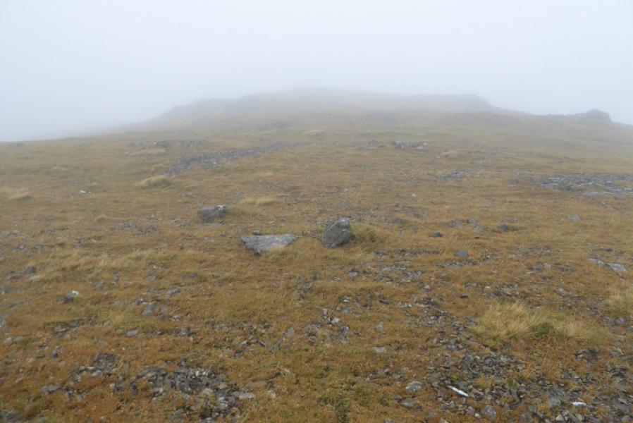
(1) From the parking spot, walk SE along the road until two minor streams are seen which meet just above the road; this is a little to the W of the main stream with waterfalls coming down from Coire nan Each. Pick a way up hill gradually converging with the main stream. This is the roughest terrain on the walk and is short lived. There is a faint path which follows the main stream up but it is almost impossible to follow lower down but becomes more distinctive higher up and certainly by the time the first waterfall is reached. Continue up, passing several waterfalls as well as a narrow miniature gorge. Pass the lip to reach Coire nan Each and continue up. By now, a broken wall will have been followed for some way and it should now be continuous. Continue up to where the stream splits and the wall goes between the two feeder streams. The left stream is easily crossed even after a night of heavy rain. Continue up following the wall to its abrupt end on the S ridge of Sgurr Dearg just above the col to Beinn Bhearnach. Follow the “ridge” ascending left, N, from the end of the wall. The ground becomes rockier with some slabs but all can be easily avoided without significant detours. When the angle eases, continue easily to the medium to large cairn which is about 20 m before the ground drops steeply to the N. This is the summit of Sgurr Dearg, 741 m, NM 665 339.
(2) Retrace the outward route making sure the wall is located on the descent.
Notes
(a) This walk took place on 13th October, 2017, and on 21st February, 2007, by the same route.
Photos - Hover over photo for caption. Click on to enlarge. Click on again to reduce.