Get Lost Mountaineering
You are here: Scotland » 17 Islands » Mull
Corra-bheinn & Cruach Choireadail from Teanga Brideig on A849
Corra-bheinn & Cruach Choireadail from Teanga Brideig on A849
Start/Finish
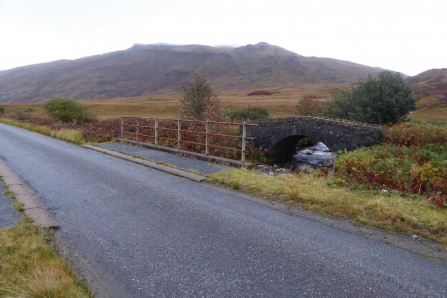
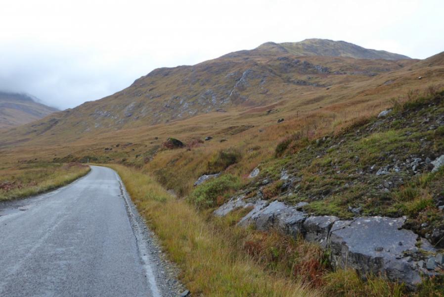
On A849, Craignure to Bunessan road at about NM 563 306. This is about 12 miles from Bunessan and about 16 miles from Craignure pier. The map names this location as Teanga Brideig which may be the name of the old ruin to the north of the old road (stone bridge) which is just north of the A849. The ruin is now almost overgrown and hardly visible but the old stone bridge is fairly obvious. There is a hamlet of white buildings at Craig about a mile to the east. The start is in about the middle of a long straight. In dry weather, it is possible to park on the old road accessed just to the west of the new bridge otherwise park sensibly on the main road without taking out a passing place.
Distance/Time
10 km. About 6 – 7 hours.
Peaks
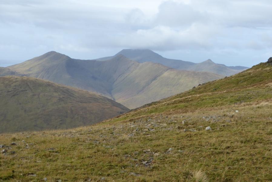
Corra-bheinn, 704 m, NM 573 321.
Beinn a' Mheadhoin, 602 m, NM 587 313.
Cruach Choireadail, 618, NM 594 304. OS sheet 48: Iona, Ulva & West Mull.
Introduction
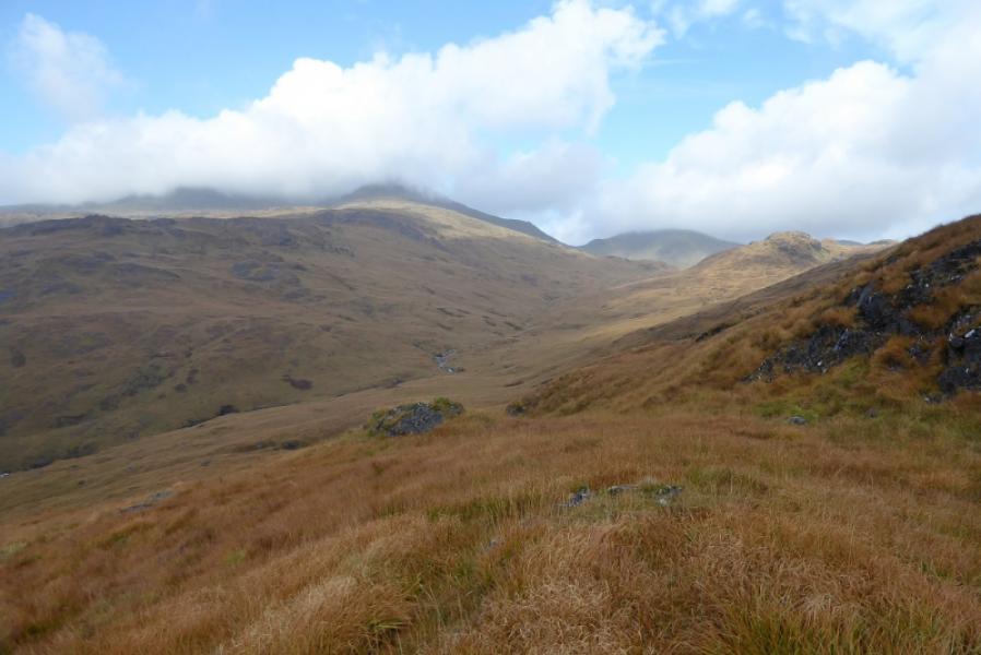
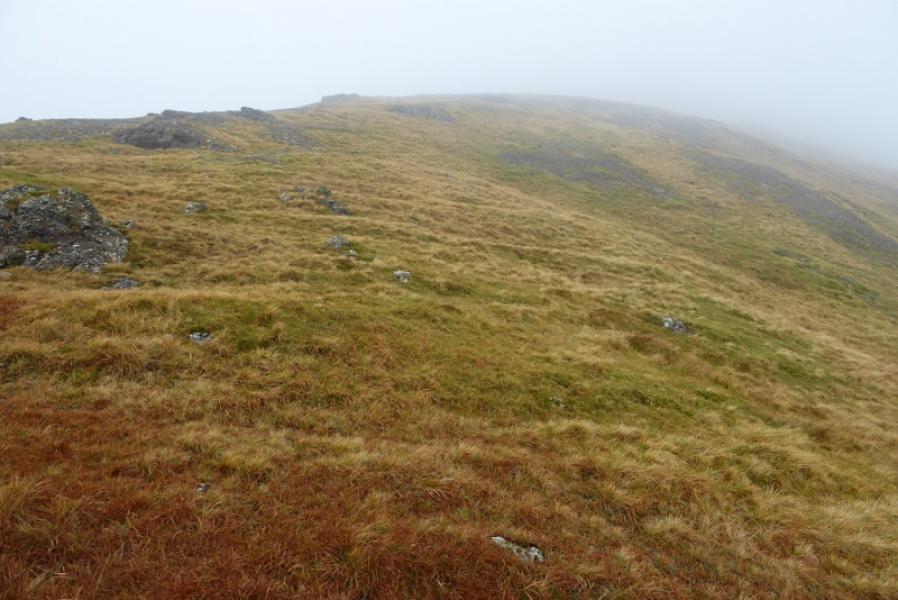
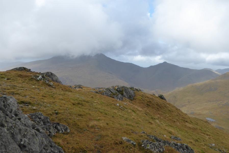
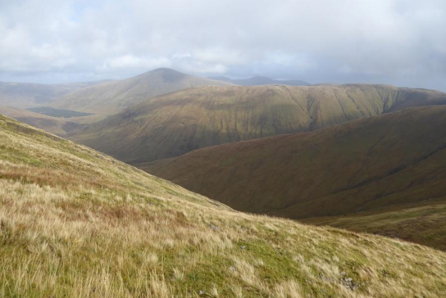
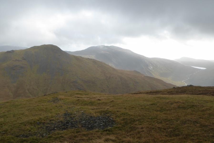
This is another tough route on the Isle of Mull. The start is a very wet and boggy path followed by a steep, rough and pathless ascent of Corra-bheinn. A steep descent now follows followed by a steep ascent up Beinn a' Mheadhoin then a steep ascent of Cruach Choireadail then a mainly pathless and rough descent back to the road. Cruachan Dearg is not included in this round as it is no longer a Graham, a resurvey has found it slightly lower than Corra-bheinn. In clear weather, there are excellent views to Ben More, Beinn Fhada, Beinn Talaidh and Ben Buie.
Route
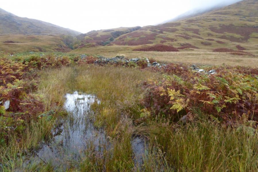
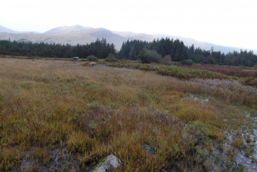
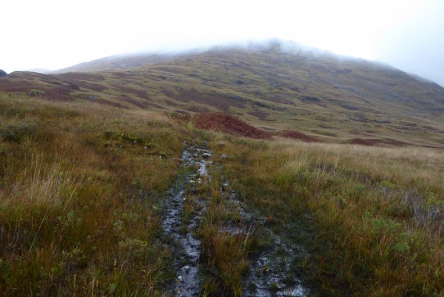
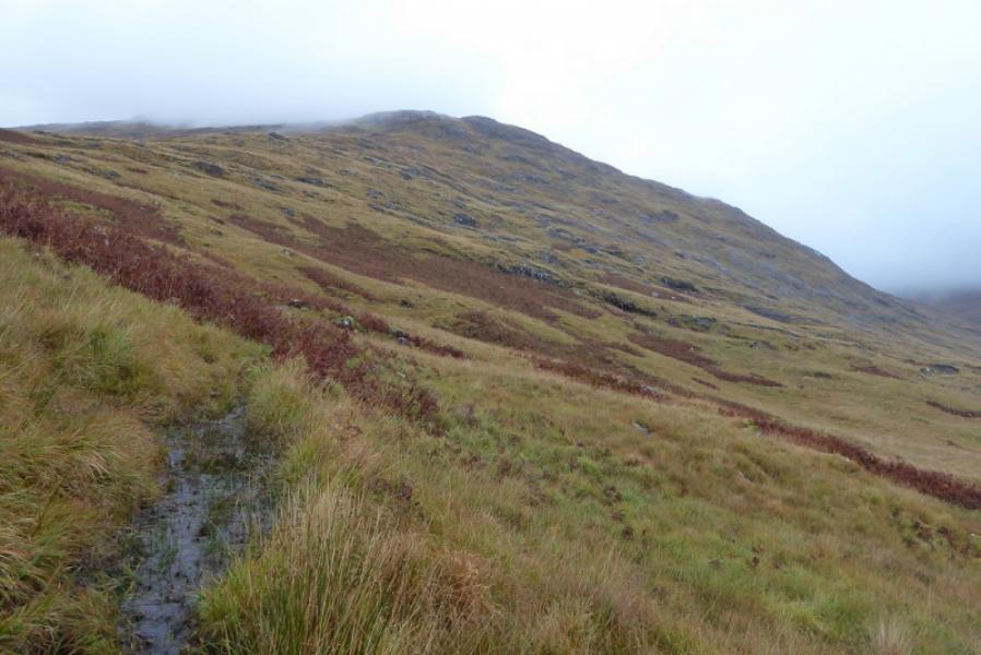
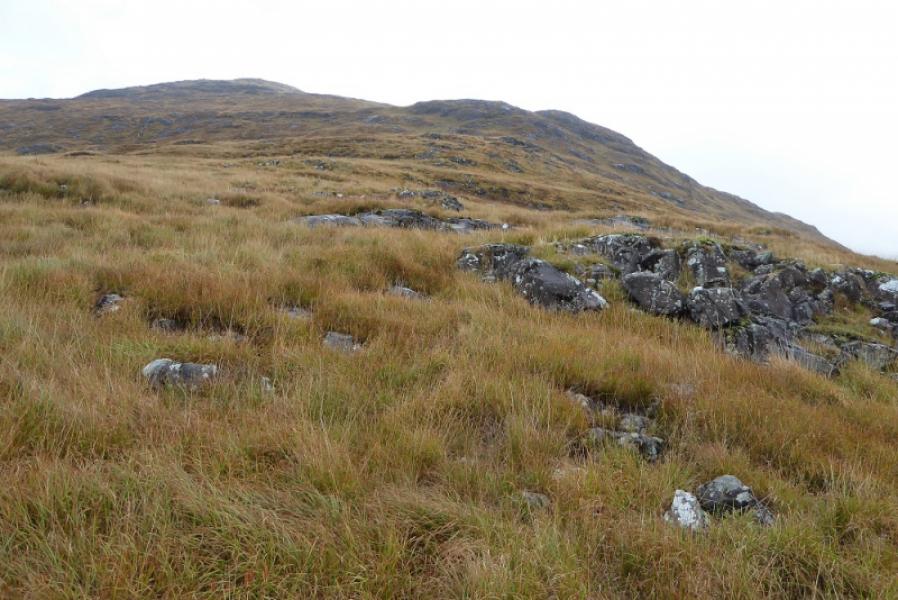
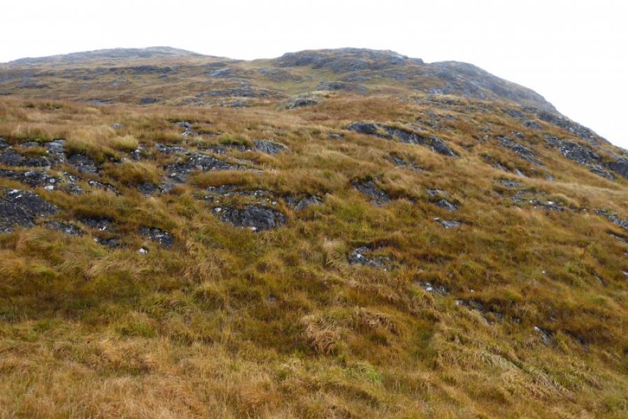
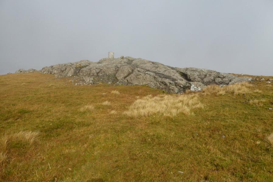
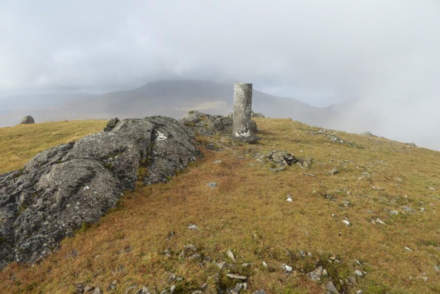
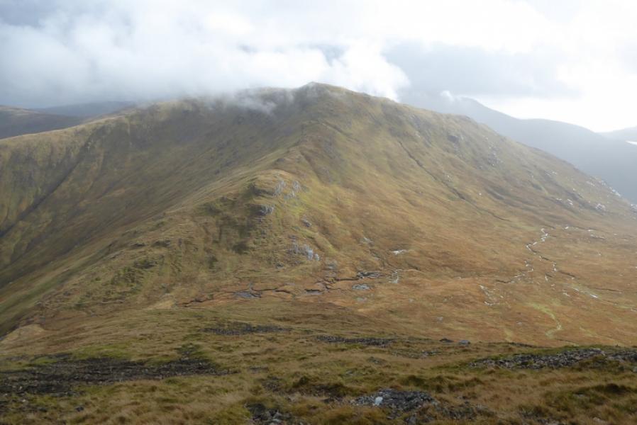
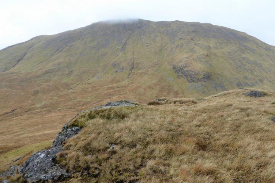
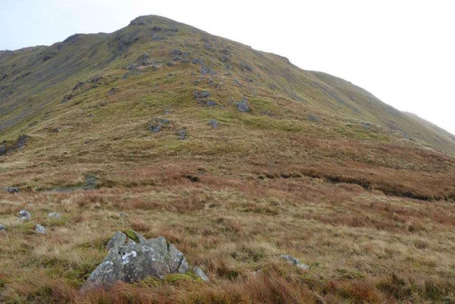
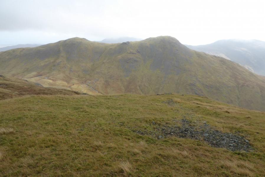
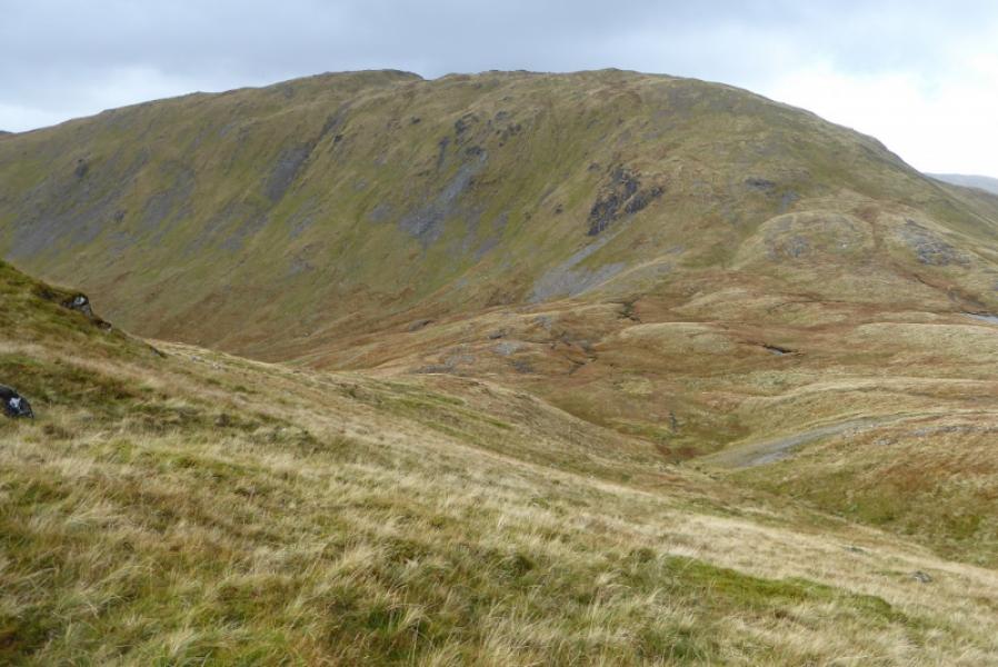
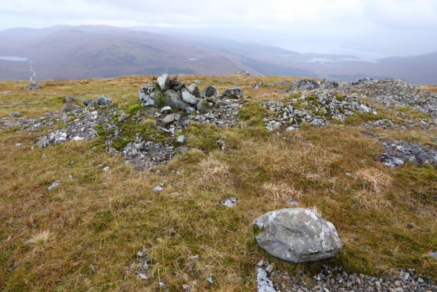
(1) From the old stone bridge, follow the very wet path through the ruin then start up the glen. The path throws out a loop to the right so stay with it until it crosses the foot of the SW ridge of Corra-bheinn. Leave the path and start picking a way up the rough and pathless ill-defined ridge. It is hard going but the ground does eventually improve higher up. There are several false tops and shoulders. The angle hardly eases until after about 600 m of climbing. Continue to the summit area where there is a trig point on an outcrop with a wide, low “messy” cairn close by; this is the summit of Corra-bheinn, 704 m.
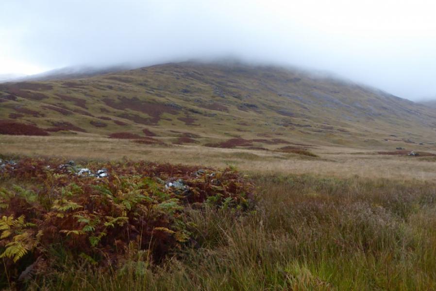
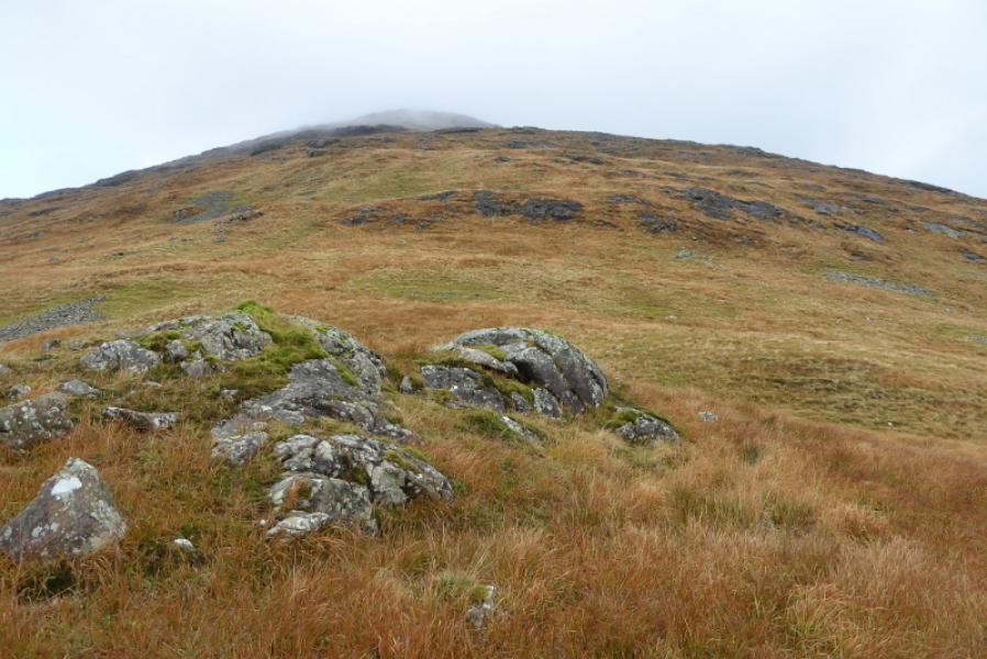
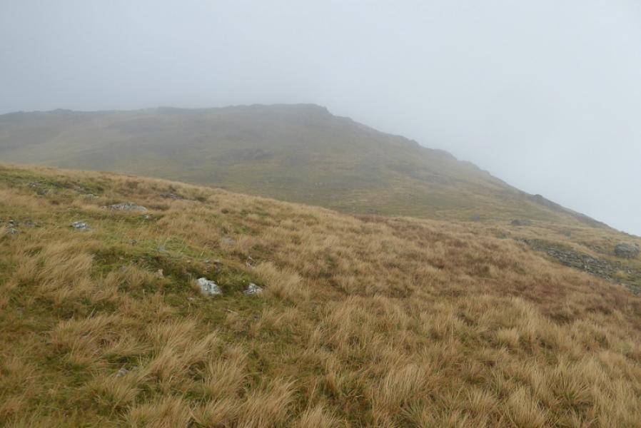
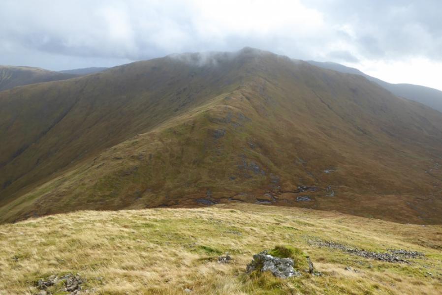
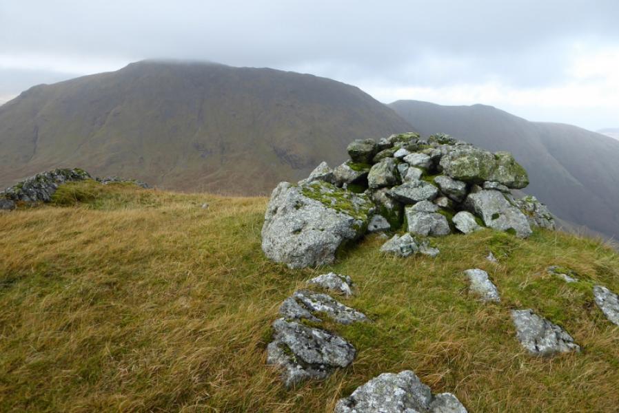
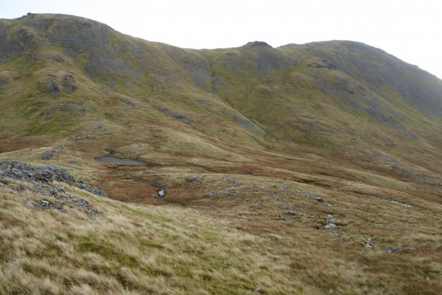
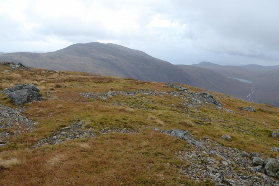
(2) Head roughly NE, along the crest, for about 500 m then start descending roughly SE. It is a steep mixture of scree and grass so pick your way down carefully to the col at about 390 m so this is a considerable loss of height. Just above the col there is a massive crag mainly covered by vegetation so pass to one side of this to reach the col. The way up the well defined ridge of Beinn a' Mheadhoin is obvious but still pathless. Pick a way up to reach the flattish top where a small cairn marks the summit of Beinn a' Mheadhoin, 602 m.
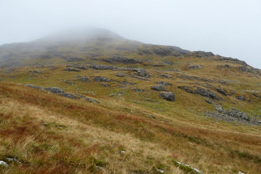
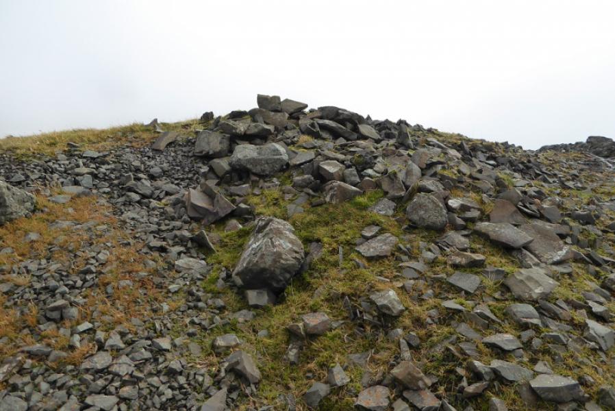
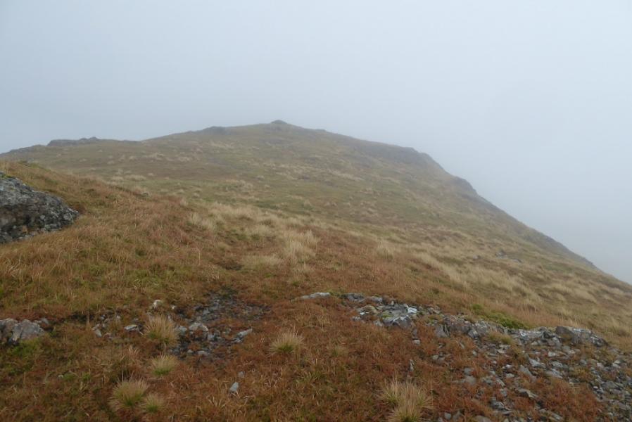
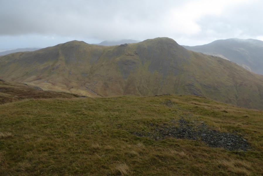
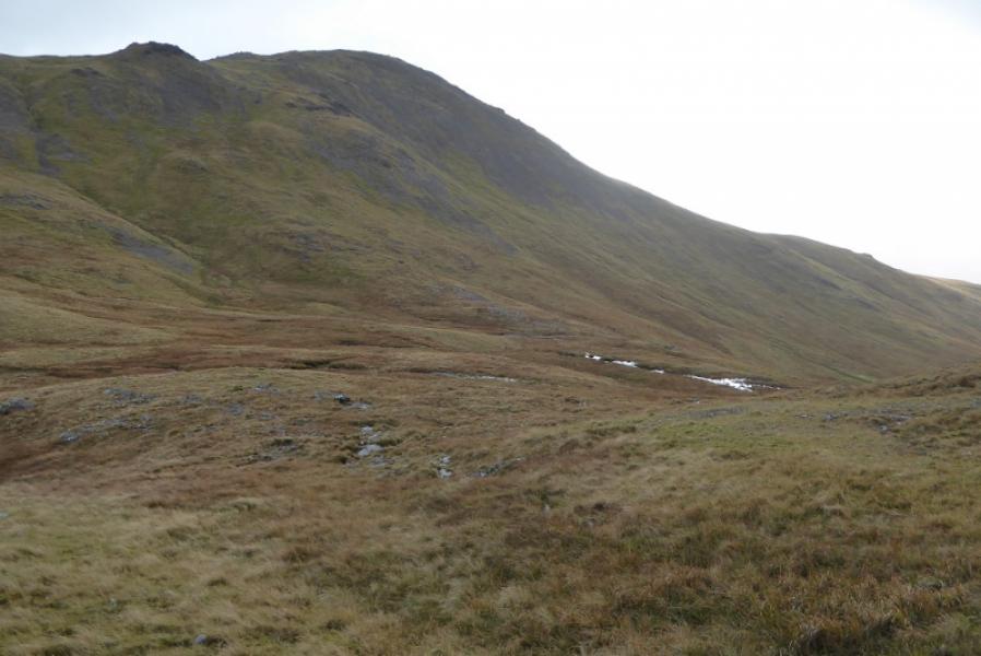
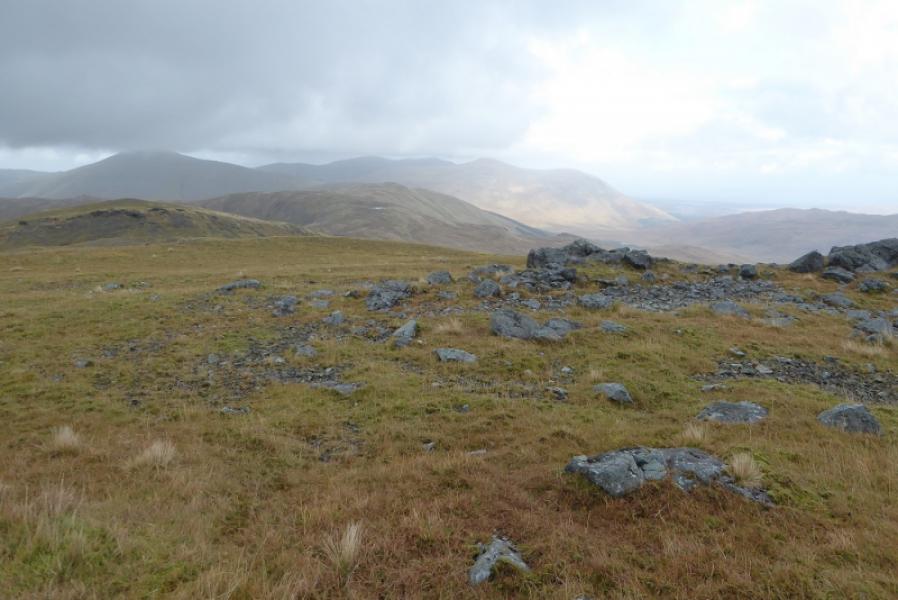
(3) Go E along the crest until the ground steepens then descend SE (easier than the descent of Corra-bheinn) to a grassy col. The ascent up Cruach Choireadail looks very steep until one gets closer when it looks much more friendly with some grassy “ribs”. Unless wanting to include Cruachan Beag, aim to join the ridge near the col between the two tops then ascend easily to the flat crest where a small cairn marks the summit of Cruach Choireadail, 618.
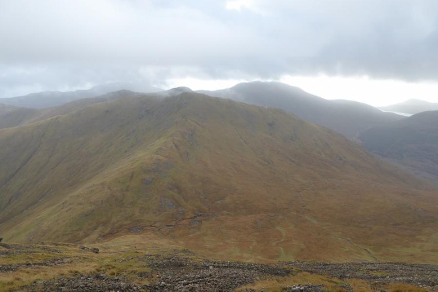
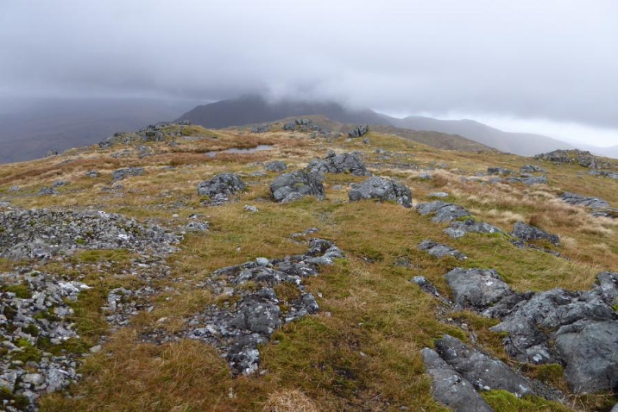
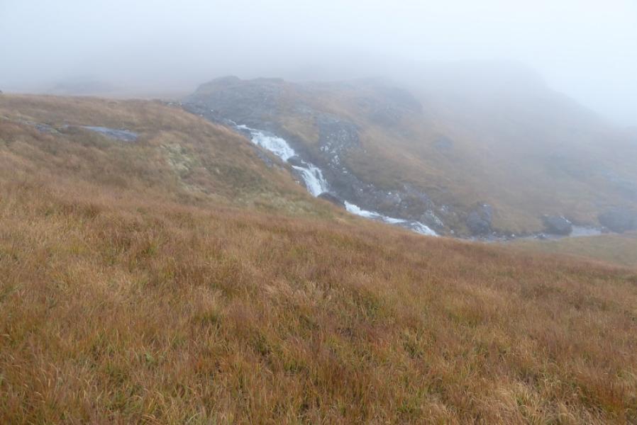
(4) The aim now is to join the stream flowing down from the col between Beinn a' Mheadhoin and Cruach Choireadail. It is best not to head directly W as the ground is quite craggy so head more like SW until the crags are behind you then head down to the stream in the hanging valley. Cross the stream as soon as possible and follow an intermittent faint path by the side of the stream. The “path” gradually diverges from the stream by the time it tumbles over the first waterfall. The path soon peters out so just carefully pick a way down the hill, roughly WSW to SW, mainly on grass, to reach the road then walk W back to the start.
Notes
(a) This walk took place on 11th October, 2017, and on 17th February, 2007, by a similar route.
Photos - Hover over photo for caption. Click on to enlarge. Click on again to reduce.