Get Lost Mountaineering
You are here: Scotland » 17 Islands » Mull
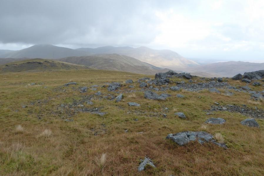
Beinn Talaidh from A849
Beinn Talaidh from A849
Start/Finish
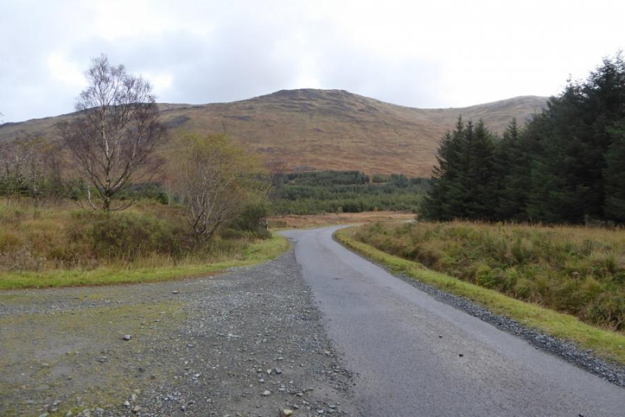
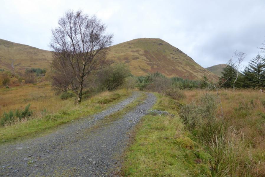
Apex of A849, Craignure to Bunessan road at about NM 642 328. This is about 19 miles from Bunessan and about 9 miles from Craignure pier. There is a bridge here with crash barriers and a forestry track heads north from the eastern side of the bridge. There is space for a few sensibly parked cars at the start of the track. Failing that, park in front of the ruin at Torness about 0.5 miles to the east.
Distance/Time
6 km. About 4 hours.
Peaks
Beinn Talaidh, 761 m, NM 625 347. OS sheet 49: Oban & East Mull.
Introduction
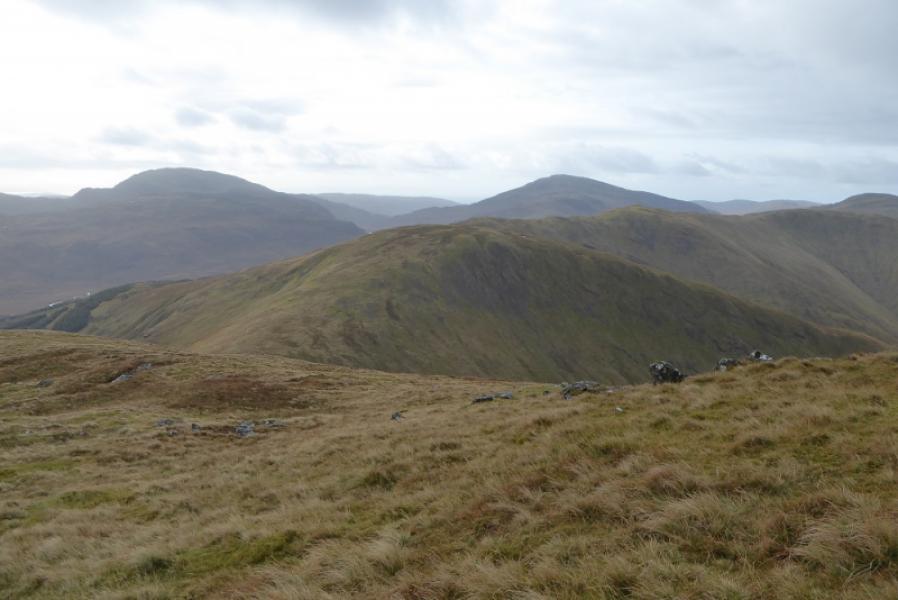
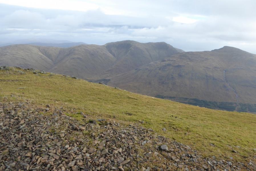
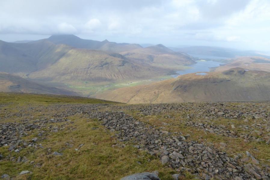
Beinn Talaidh is a fine mountain and an excellent viewpoint as all the peaks above 2000 feet can be seen from its summit. It is relatively close to the road giving easy access but its lower slopes, Maol nam Fiadh, are on quite steep grass. Historically, Beinn Talaidh used to be a Corbett but now misses out as it falls tantalisingly short of being high enough after being resurveyed. It is now one of the highest Grahams.
Route
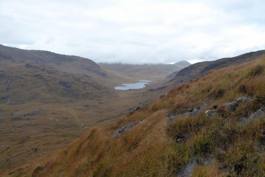
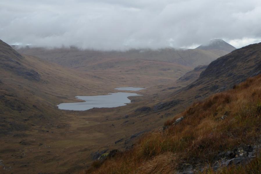
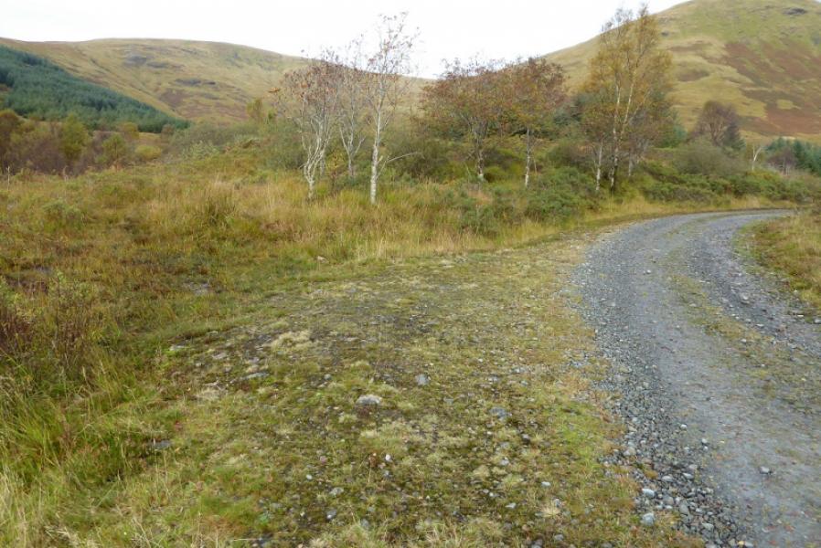
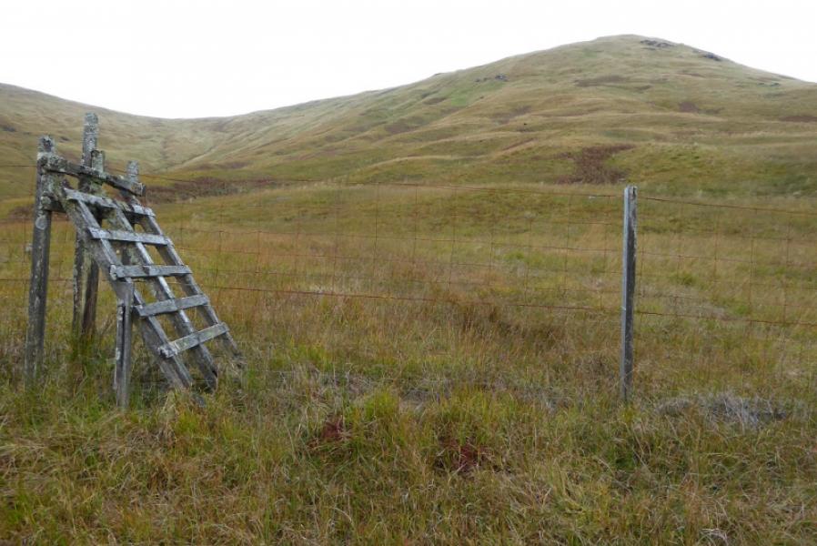
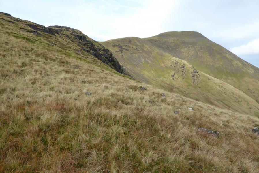
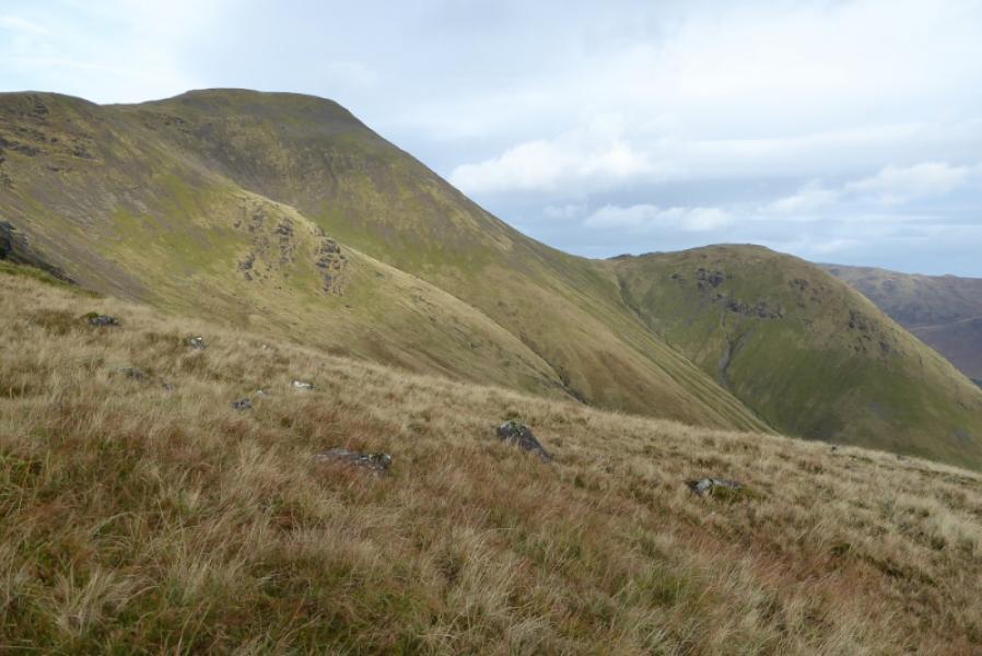
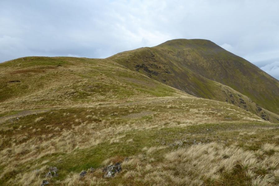
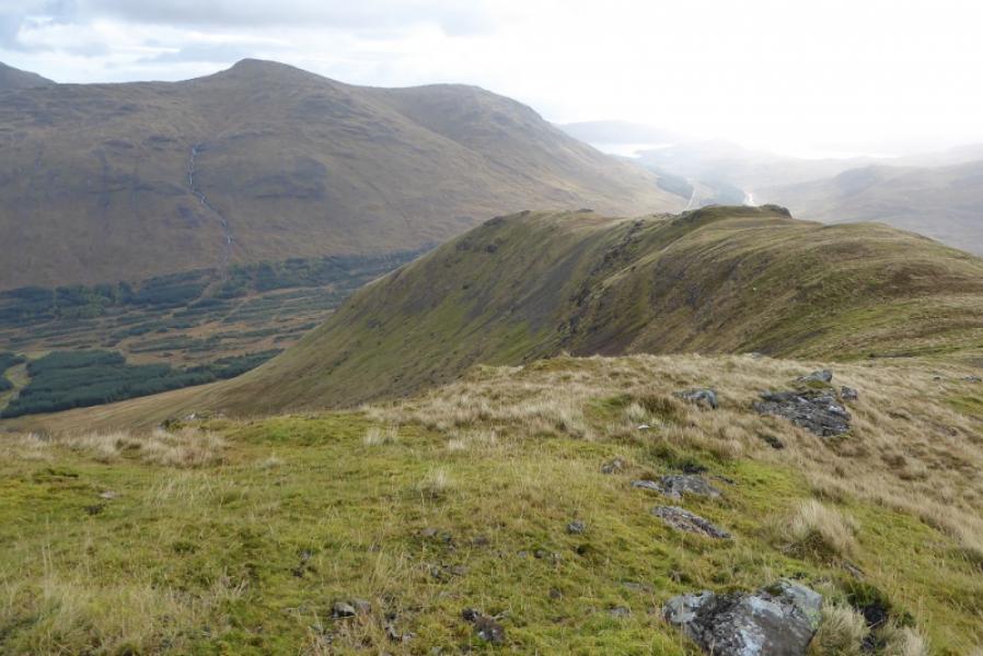
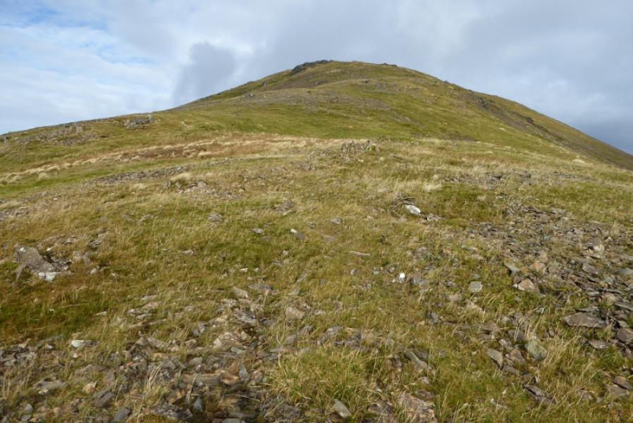
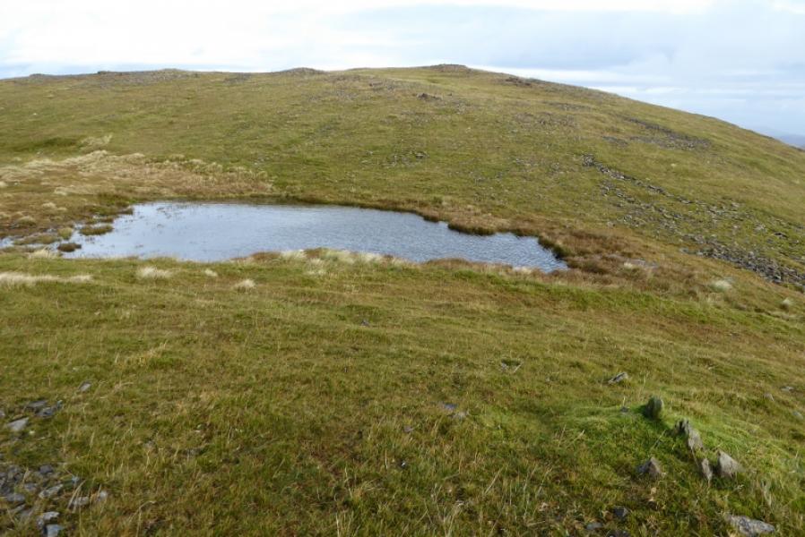
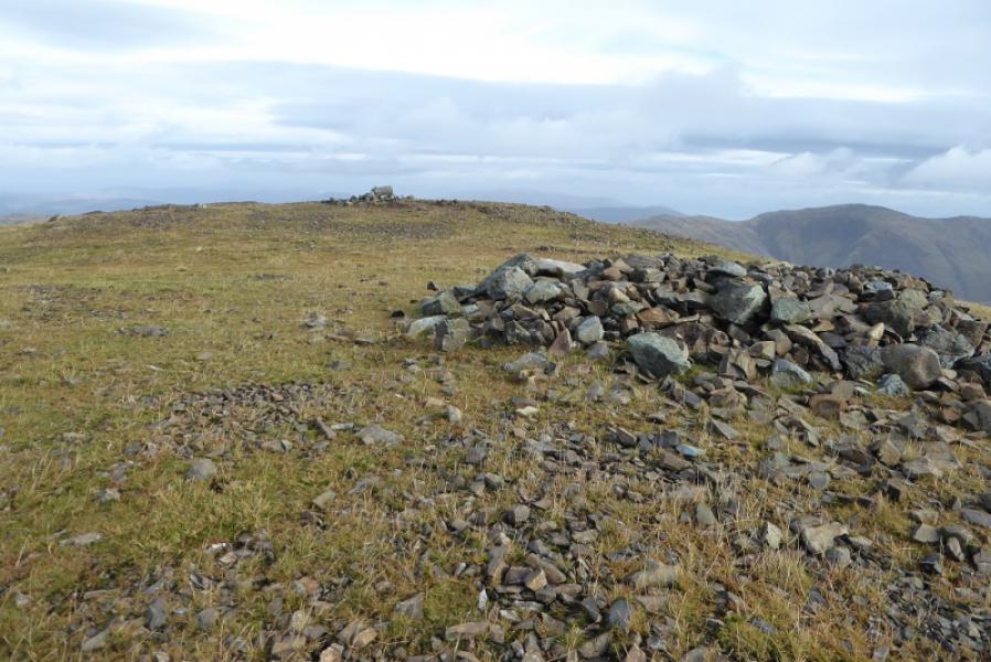
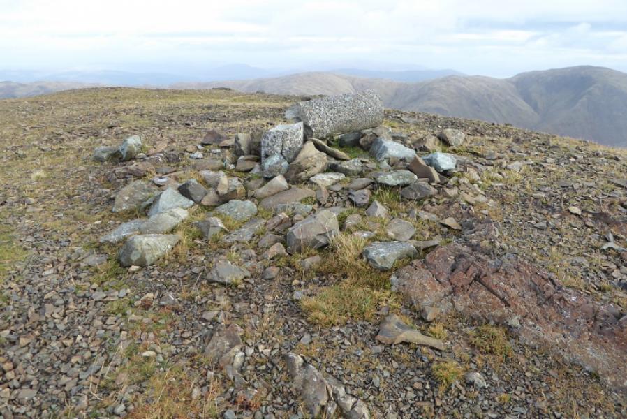
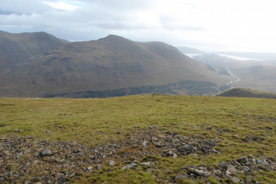
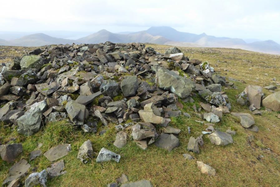
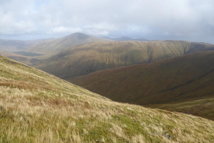
(1) Walk up the forestry track for about 100 m to a slight bend with a “passing place”. A faint path goes left here and soon becomes more obvious. Follow this path, very wet and boggy in places, through a gap in the forest to reach a stile over a deer fence. On 10/10/17, there was no need to climb over the stile as there was a large gap in the fence less than 10 m further. A faint path starts up Maol nam Fiadh heading roughly NNE. The path soon fades but, although steep, good ground can be found by weaving around. Eventually, the angle eases and one is on the top of Maol nam Fiadh where there are a few scattered outcrops. It is probably best to continue to the edge of the grassy corrie from where there is a fine view of Beinn Talaidh and Beinn Bheag. Follow the curving ridge going first NE then N. There is a faint path in places. The angle steepens but it is less steep than the ascent of Maol nam Fiadh. There is a lower S top then a slight dip to a tiny lochan (may dry up in the summer) before a wide scattered cairn is reached followed by a broken cylindrical trig point on the ground. One of these is the summit of Beinn Talaidh, 761 m, NM 625 347.
(2) Retrace the outward route.
Notes
(a) This walk took place on 10th October, 2017, and on 11th April, 1994, by the same route.
Photos - Hover over photo for caption. Click on to enlarge. Click on again to reduce.