Get Lost Mountaineering
You are here: Scotland » 17 Islands » Mull
Creach Beinn & Ben Buie from Lochbuie
Creach Beinn & Ben Buie from Lochbuie
Start/Finish
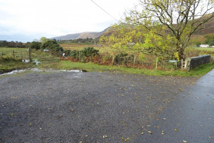
Stone Circle car park by stone bridge over river about 400 m east of the prominent red telephone box in Lochbuie. Lochbuie is reached by a very minor road from Strathcoil on the A849 Craignure to Bunessan road.
Distance/Time
12 km. About 7 – 8 hours.
Peaks
Creach Beinn, 698 m, NM 642 276.
Ben Buie, 717 m, NM 604 270. OS sheet 49: Oban & East Mull.
Introduction
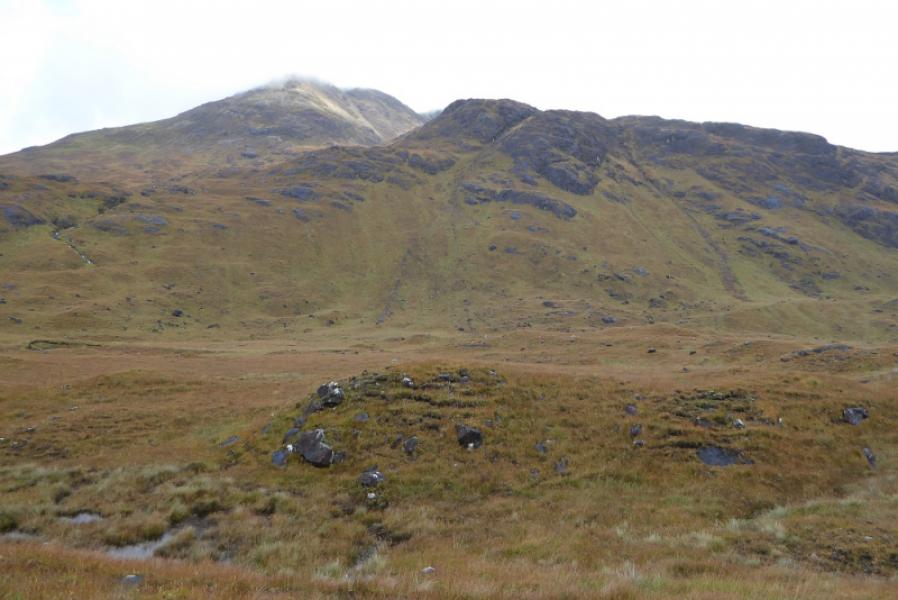
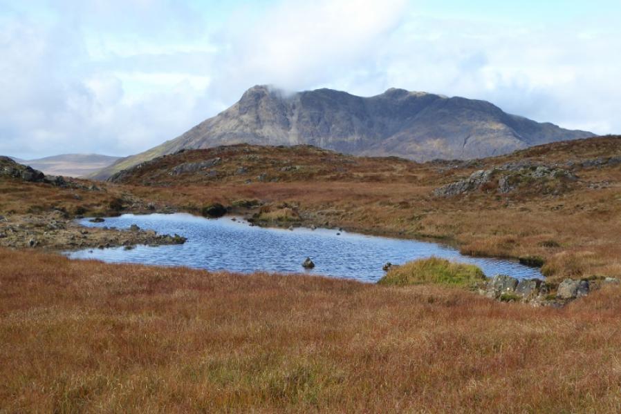
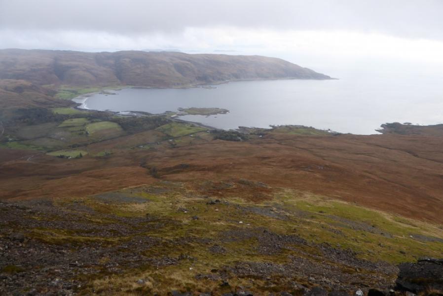
These are very rough and rocky hills which should not be underestimated especially with regards to how much time they will need. They can be very challenging in mist so are best saved for a clear day. The descent of Ben Buie can be quite challenging. In good weather, they offer excellent views especially to the coast.
Route
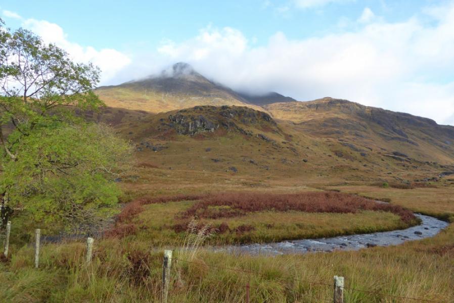
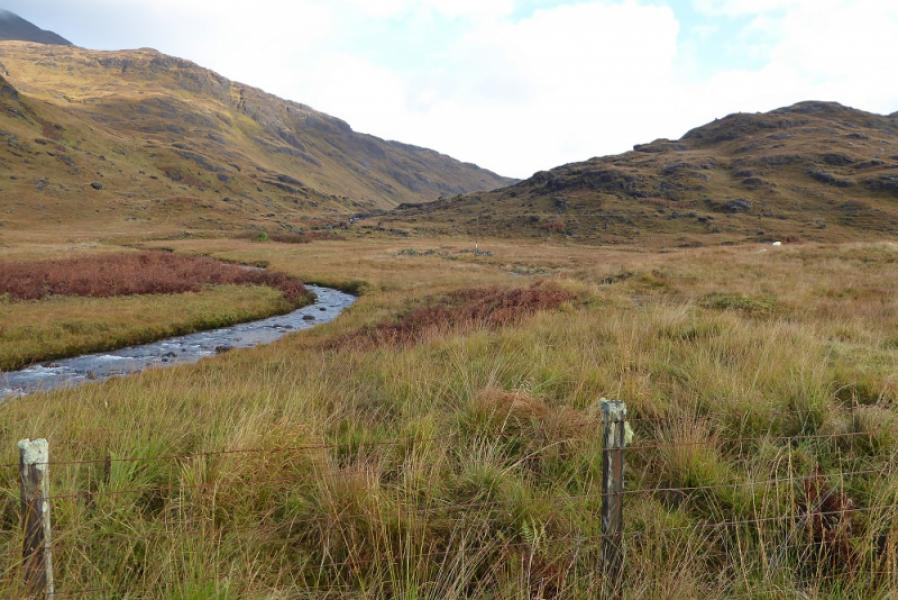
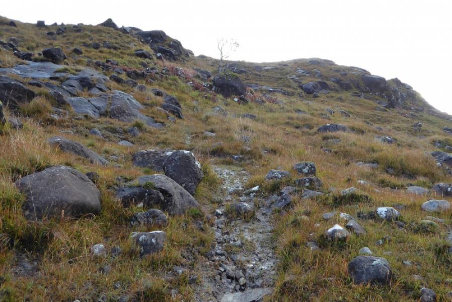
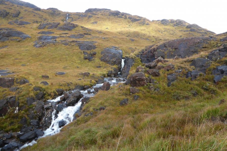
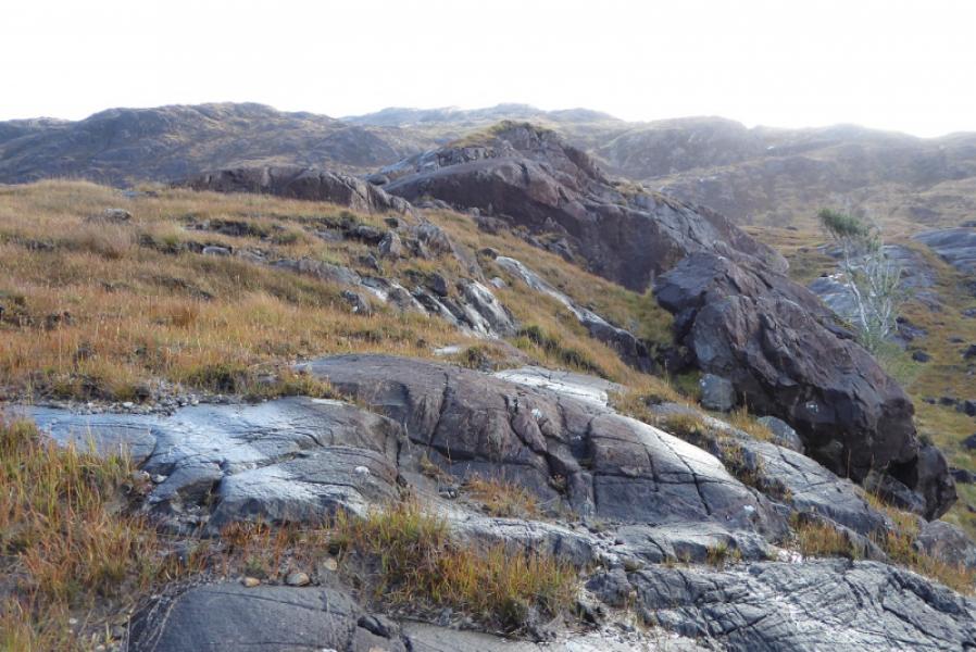
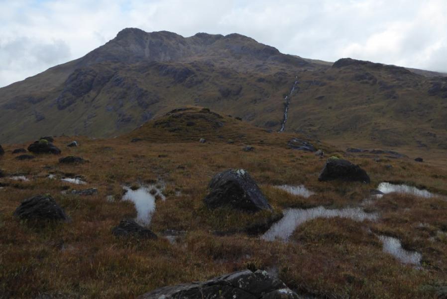
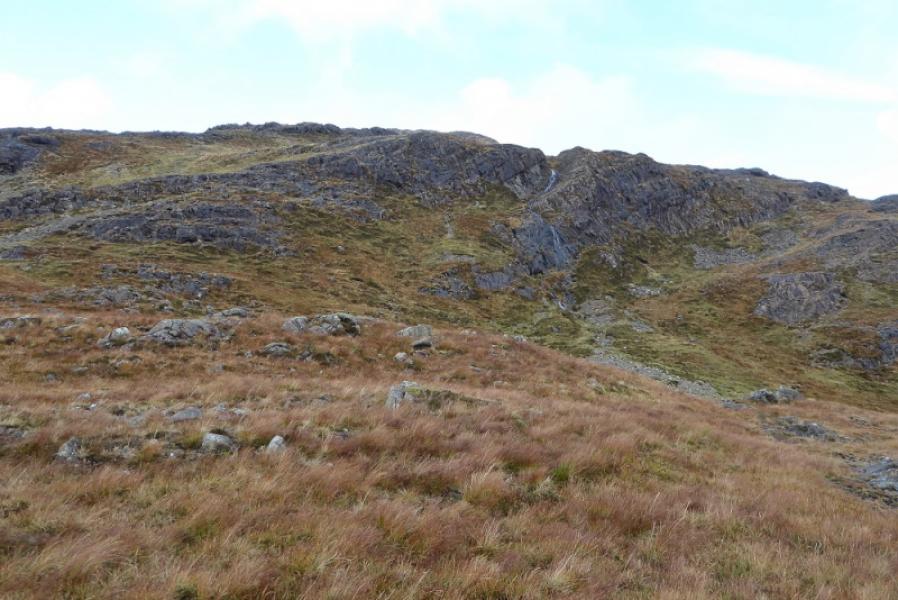
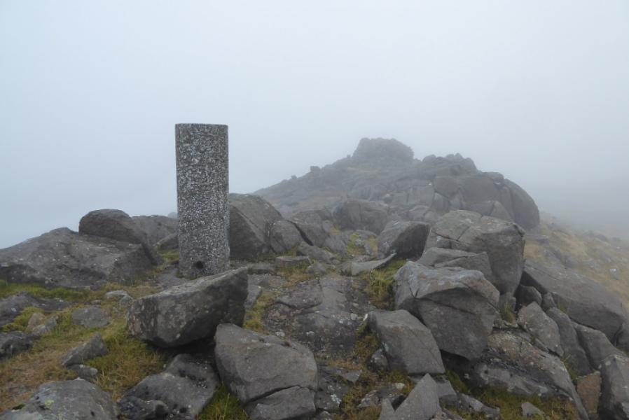
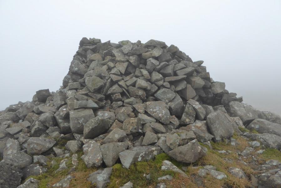
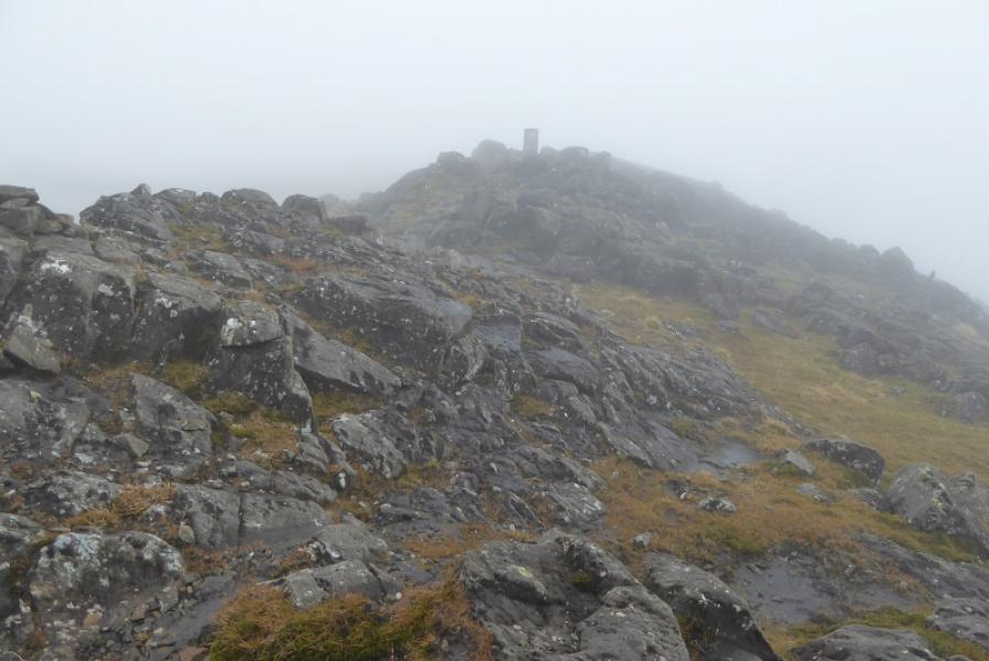
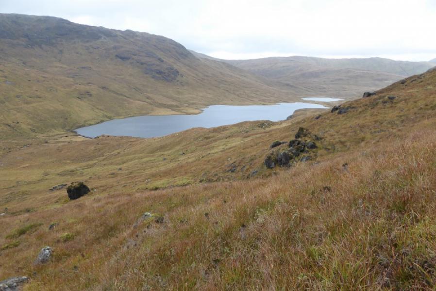
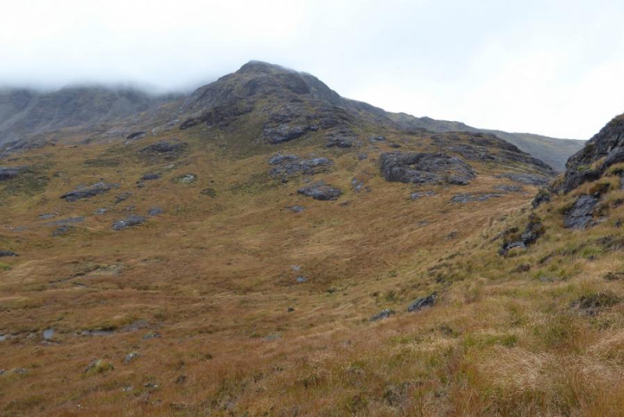
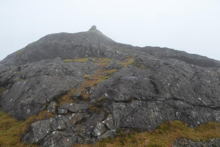
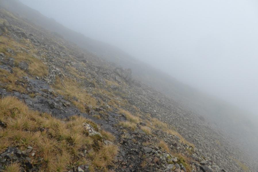
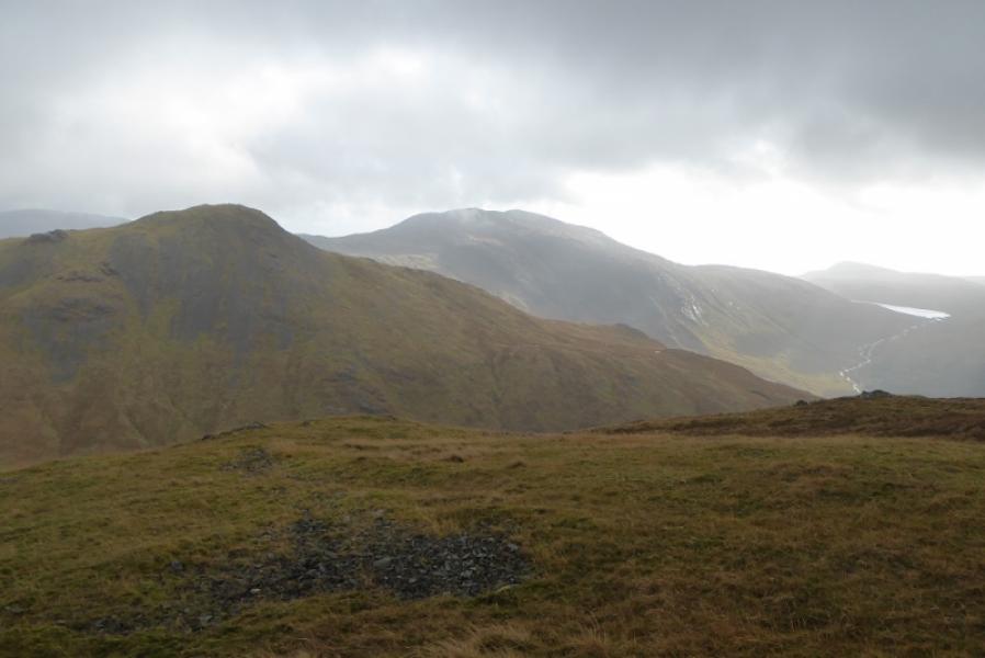
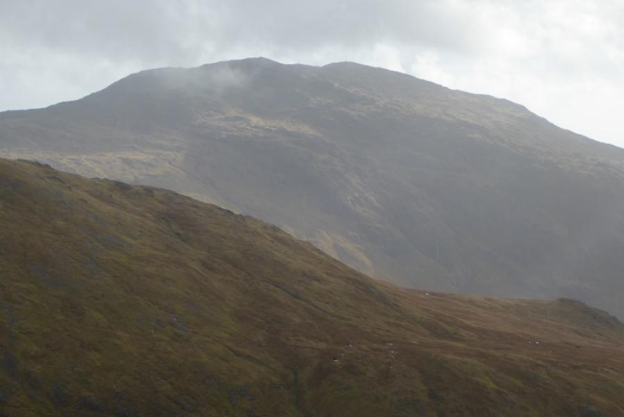
(1) Take the path up the glen which starts at the gate opposite the car park. This is very wet to begin with. Follow it for about 2 km. It starts to climb and passes a waterfall then levels off at a small boulder (see photo). This seems a reasonable place to leave the path and head up to the crest of Creach Beinn. There is no path but the ground is neither too rough nor too steep. Eventually reach the crest and head N. There seems to be no path along much of the crest and there are several false tops before the trig point is reached after a small lochan. About 50 m further is a large “shelter” cairn at about the same height. One of these is the summit of Creach Beinn, 698 m.
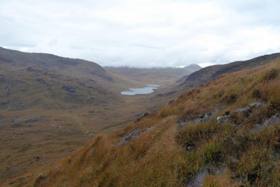
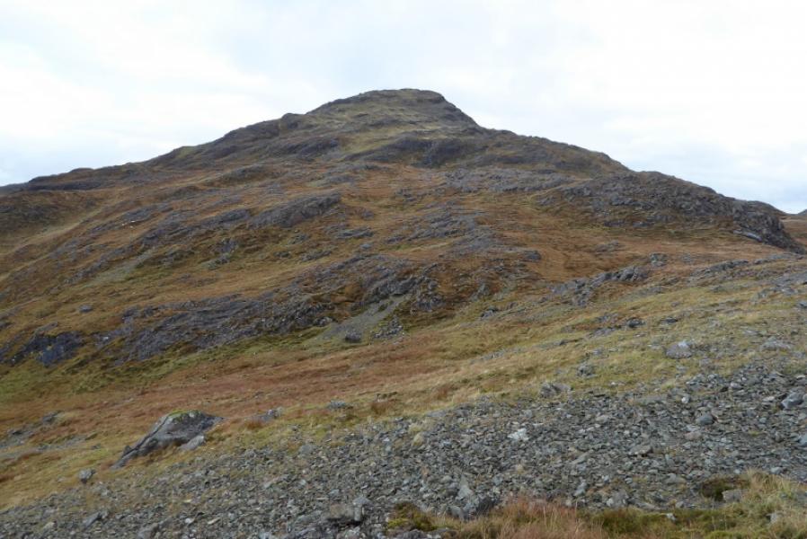
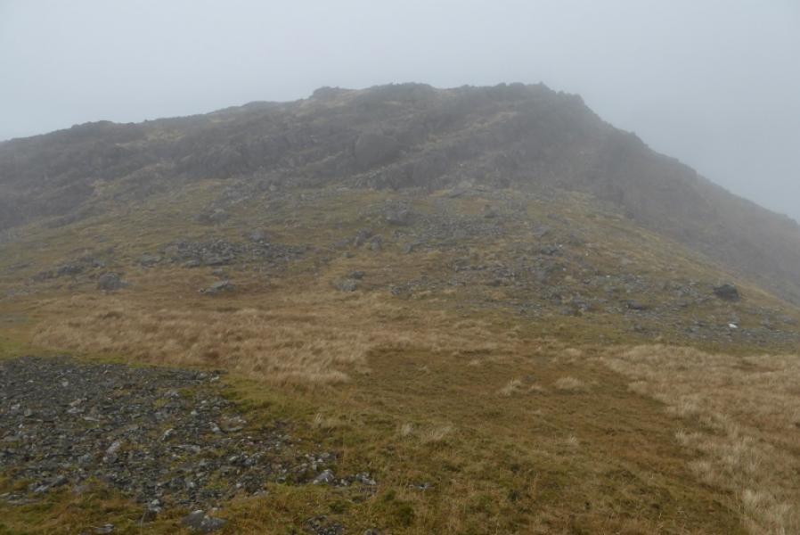
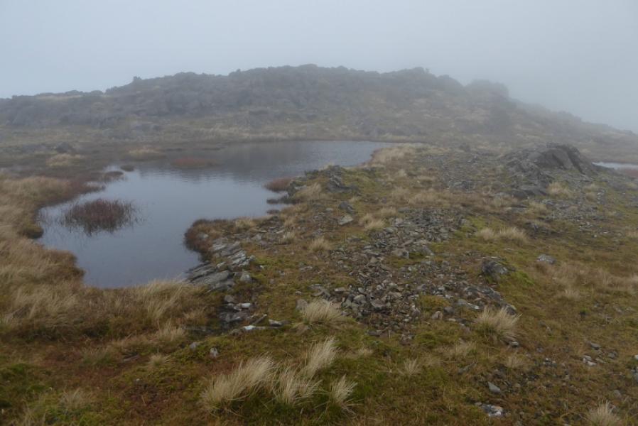
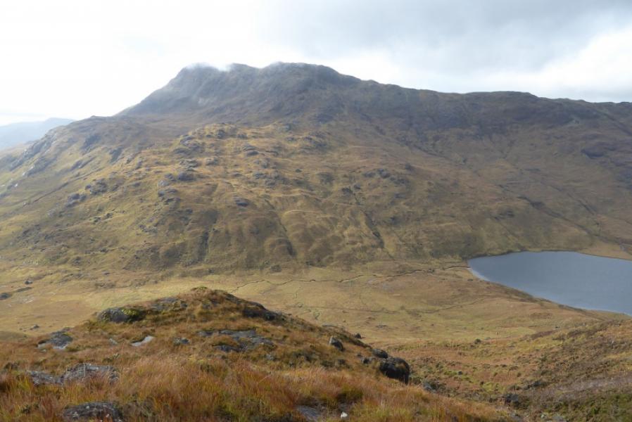
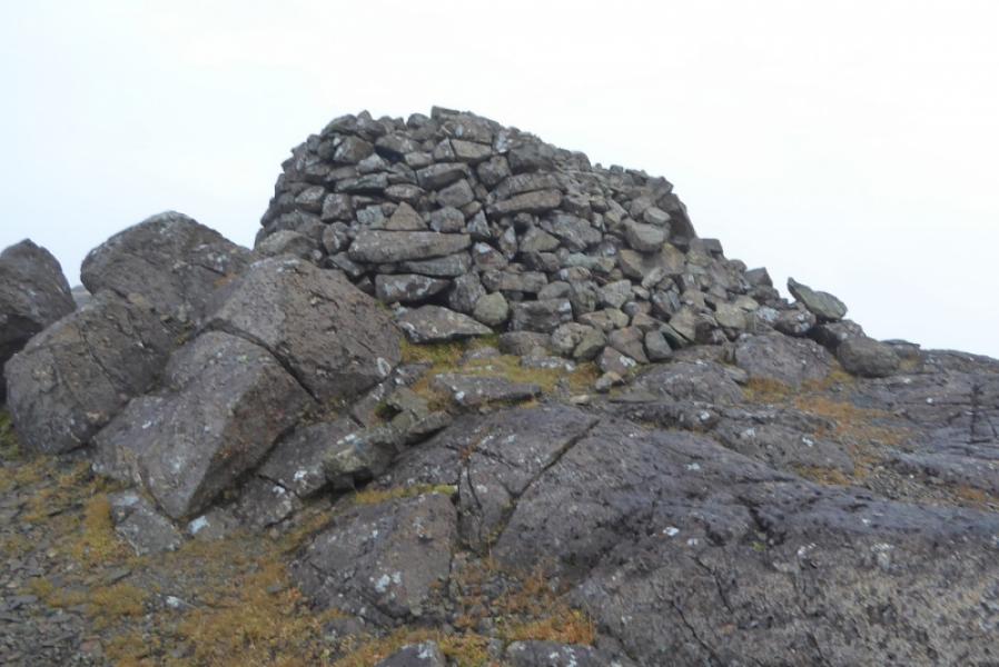
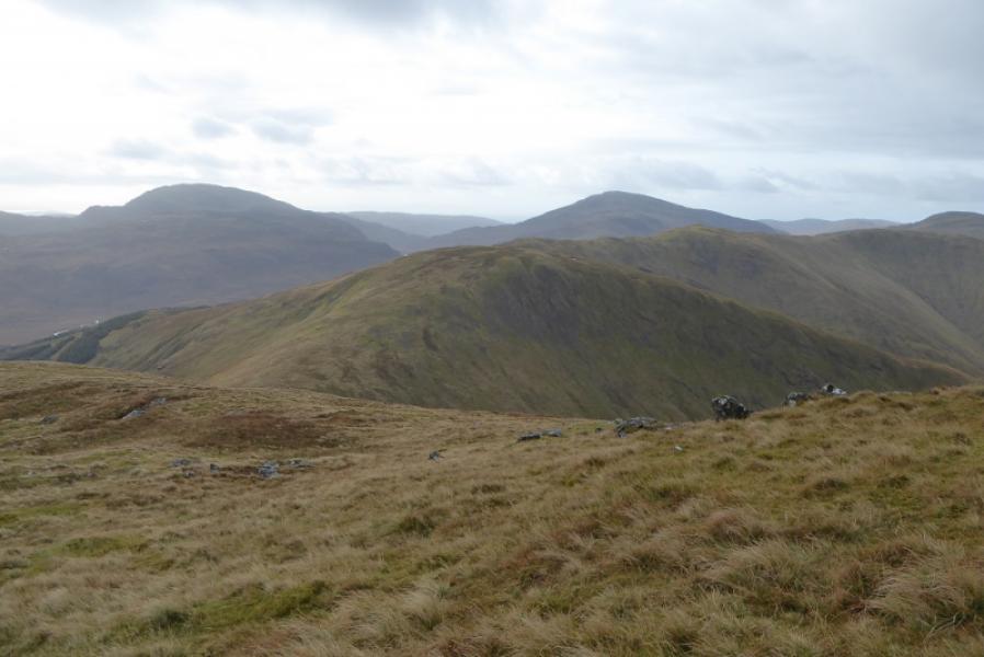
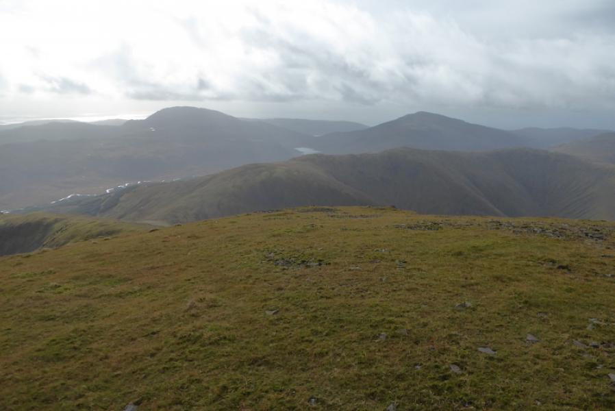
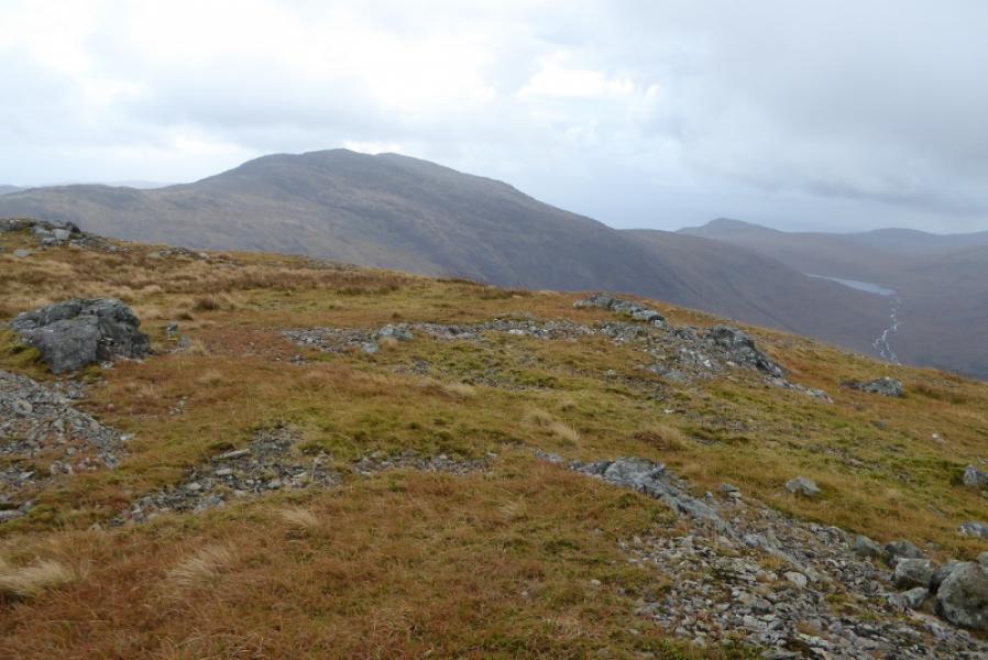
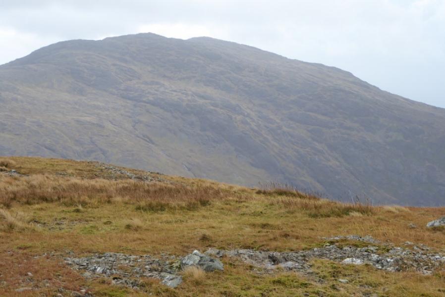
(2) To avoid crags and much of the scree, it is best to go about 200 m N before descending roughly W to the glen. Some weaving around will be necessary to find the best ground and avoid the rocky sections. Aim for about 300m S of the end of Loch Airde Glais. Cross the outward path in the glen then cross some horrible wet grassy boggy ground before starting the ascent up the ridge which eventually leads to the N Top of Ben Buie, 714 m. The ground is rough and steep to begin with but soon some easy angled slabs appear which give easier walking in dryish conditions. Follow the ill defined ridge up to a short level section before it starts climbing again. Reach the N ridge of Ben Buie and turn S. The ridge is broad and not that well defined but one should soon reach a cairn on a pointed outcrop which is the N Top. The central and S Top (summit) are within 500 m but the N Top is well defended by steep crags on its S side so go around to its W side where the ground is much easier. A short descent and ascent leads to the Central Top which is a small cairn on an outcrop. Continue S. After a short descent, ascend to the very large cairn which is the summit of Ben Buie, 717 m.
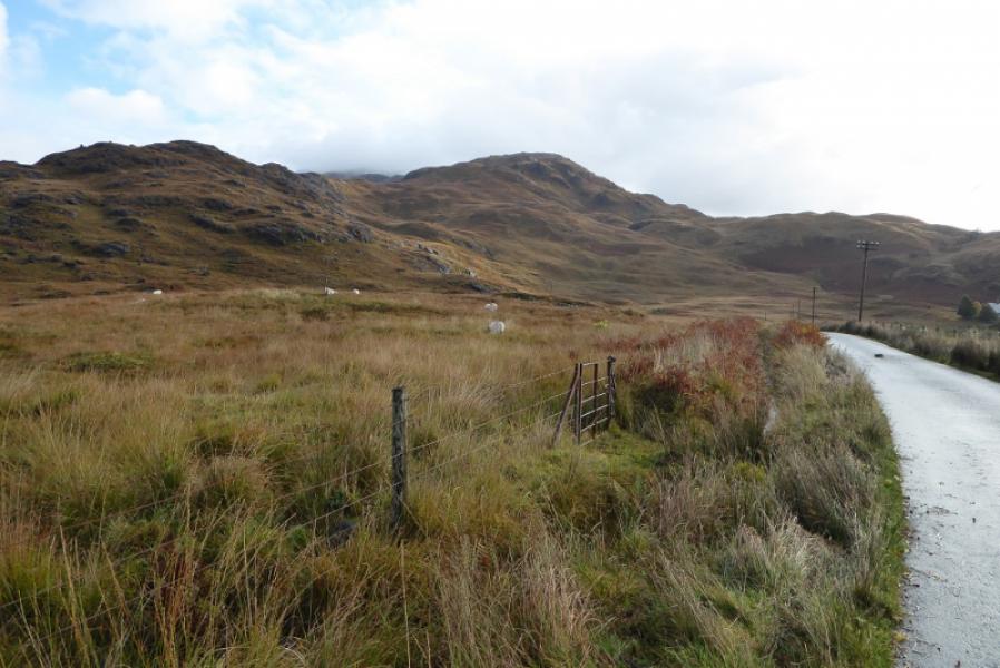
(3) The direct descent from Ben Buie is very rocky to start with so it is better to go W to begin with until easier ground can be reached below. There are two not so obvious small cairns. Once below the summit, trend back E on a faint path and soon start picking a way down the S ridge. There are a few scree patches before grassier ground is reached. Continue down, gradually trending SSE and aiming for the left bank of the stream in the deep cut grassy gully. Paths may be seen from above but most quickly peter out. Try to stay close to the stream as straying left can lead into fern patches and very boggy, overgrown ground which can be very tiresome to cross. Use any path encountered to ease the going. Lower down, the telephone box will become visible so aim to reach the road here then walk back to the start.
Notes
(a) This walk took place on 9th October, 2017, and on 20th February, 2007, but in the opposite direction
Photos - Hover over photo for caption. Click on to enlarge. Click on again to reduce.