Get Lost Mountaineering
You are here: Scotland » 17 Islands » Mull
Ben More via An Gearna from Dhiseig
Ben More via An Gearna from Dhiseig
Start/Finish
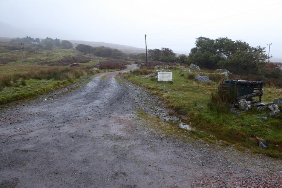
Rough grass verge parking on B8035 near start of track to Dhiseig. There is a bridge over the Abhainn Dhiseig next to the start of the track which is about 4 miles south of Gruline at NM 494 359. There is a large sign saying “Ben More Footpath” a little way up the track.
Distance/Time
9 km. About 6 hours.
Peaks
Ben More, 966 m, NM 525 330. OS sheet 48: Iona, Ulva & West Mull.
Introduction
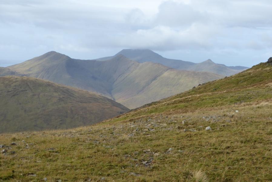
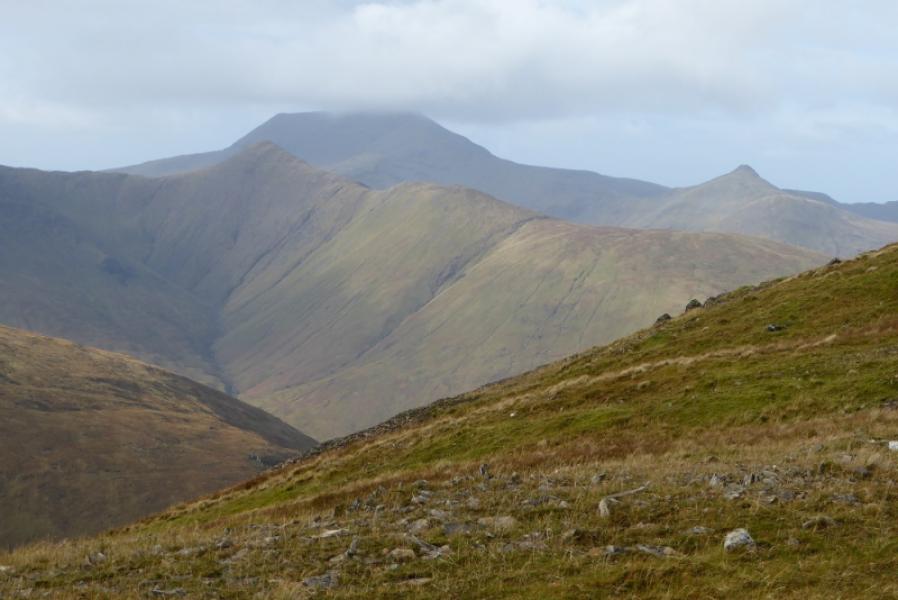
Ben More is the highest mountain on Mull and the only island Munro outside of Skye. Many choose it as their final Munro. On a clear day, it, obviously, offers excellent views including to some mainland hills which means it can also be seen from some mainland hills. This route goes up the An Gearna ridge with a 300 m climb up steep but easy scree to the summit plateau; it returns down the tourist path.
Route
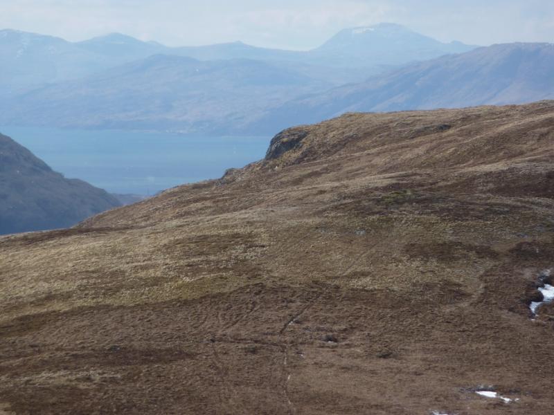
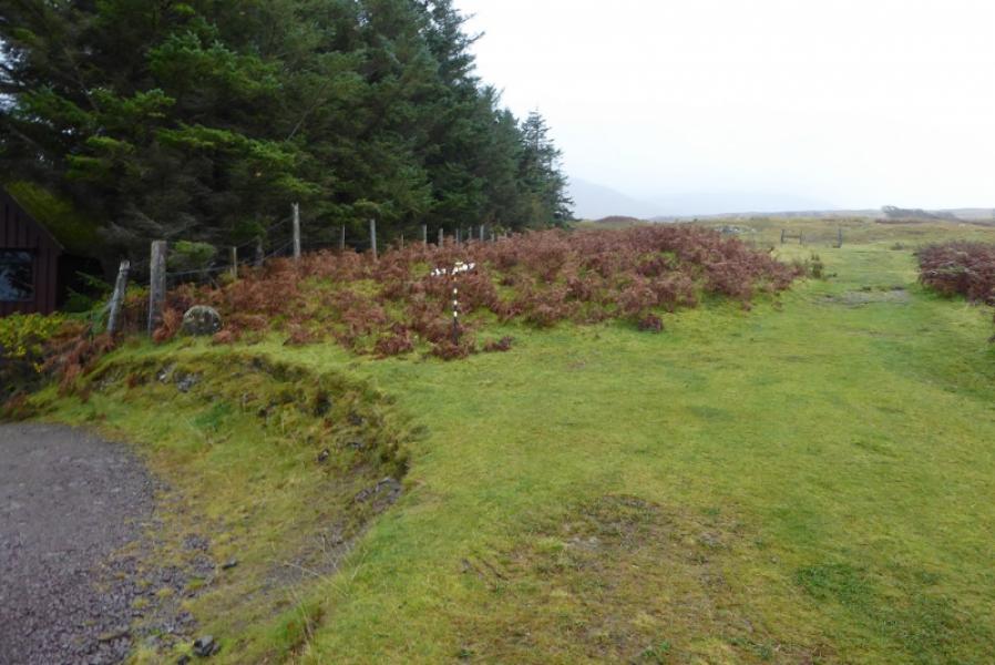
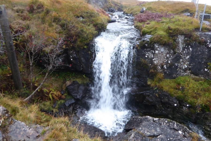
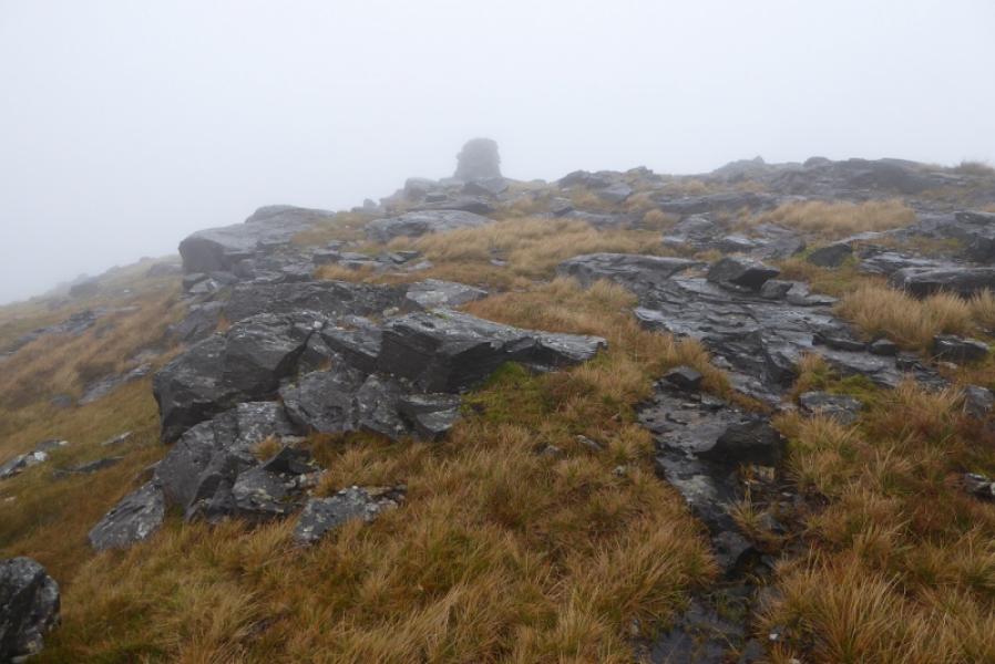
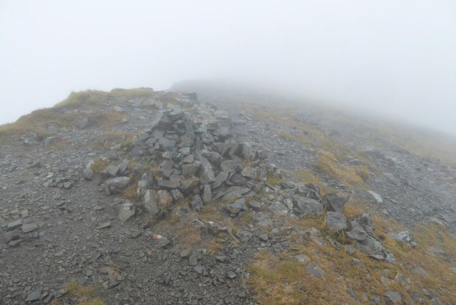
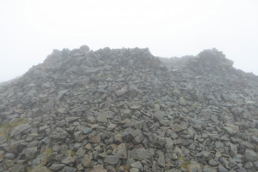
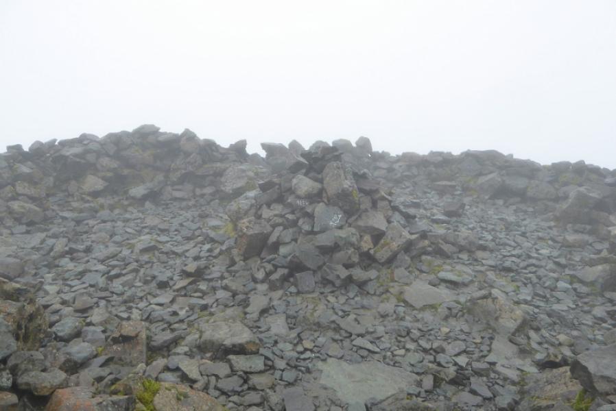
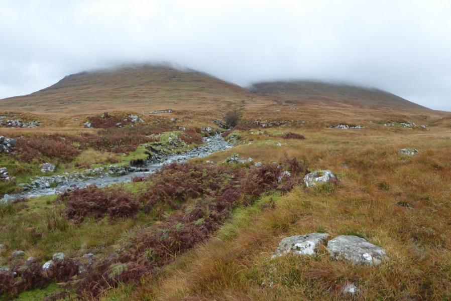
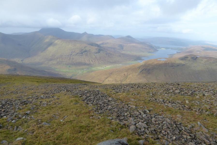
(1) Walk up the track, leaving it just before Dhiseig. Follow the grassy path up by the side of the Abhainn Dhiseig to reach a waterfall. Continue to the gate and follow a wet and boggy ATV track after the gate. The aim is to go left to the lower ridge of An Gearna. This is best achieved by using a faint path higher up which contours left. Start picking a way up the An Gearna ridge where there is little hint of a path but the ground is generally good to walk on. When the angle eases there are two cairns quite close together. One is a pile of stones on an outcrop, the other, over to the left, is a pillar cairn. This is An Gearna, 563 m. Continue up, roughly SSE, trying to stay on the crest although the ridge is not that well defined. After about another km, the ridge steepens with much scree ahead. However, the scree is fairly straightforward to ascend and there are a few grassy channels available. Higher up, it gets much rockier but any difficulties are easily avoided, usually on the right and one can easily walk along the top section of the ridge which soon joins the tourist path on the Ben More summit crest. Follow the crest, roughly SE, to a medium cairn which some mistake for the summit in thick mist. Continue along the crest to reach a very large, round shelter cairn with a medium cairn inside. This is Ben More, 966 m. Note that there is no trig point despite being shown on some maps.
(2) Retrace to the medium cairn then follow the tourist path down the NW flank – it isn't really a ridge like An Gearna was. The path is very obvious most of the way and there are many cairns. It is quite stony until it almost converges with the Abhainn Dhiseig (on the right). The usual route is to cross the Abhainn Dhiseig as soon as the ground levels off or a little further down but certainly before it becomes a gorge. Once across, follow the path down the side of the stream to the track at Dhiseig. It is possible to continue without crossing the stream but the path gradually fades away although the ground is easy to walk on. There is a tributary in a deep cut wooded gorge which can easily be detoured around, about 50 m. Once around it, continue down to the gate on the road.
Notes
(a) This walk took place on 8th October, 2017. Ben More was ascended in a horseshoe walk which took in Beinn Fhada and A' Chioch on 18th February, 2007. Ben More was ascended by the “tourist” path from Dhiseig on 10th April, 1994.
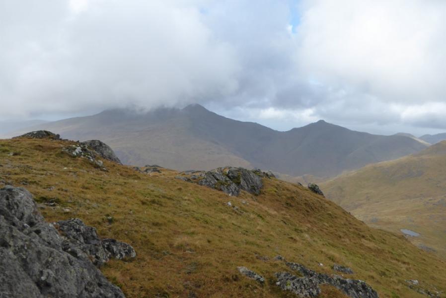
Photos - Hover over photo for caption. Click on to enlarge. Click on again to reduce.