Get Lost Mountaineering
You are here: Scotland » 13 Applecross, Coulin and Torridon » Achnasheen to Applecross
Beinn na Feusaige & Carn Breac from Glen Carron near Loch Sgamhain
Beinn na Feusaige & Carn Breac from Glen Carron near Loch Sgamhain
Start/Finish
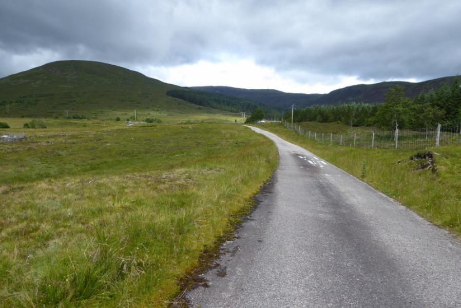
At the western end of Loch Sgamhain on the A890 road between Achnasheen and Lochcarron, there is a loop of old road which still retains its tarmac surface. Park near the eastern end of this loop. This about 6 miles from Achnasheen and about the same from Achnashellach.
Distance/Time
14 km walk. About 6 – 7 hours.
Peaks
Beinn na Feusaige, 625 m, NH 093542.
Carn Breac, 678 m, NH 045 530. OS sheet 25: Glen Carron.
Introduction
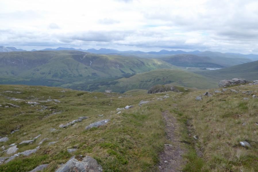
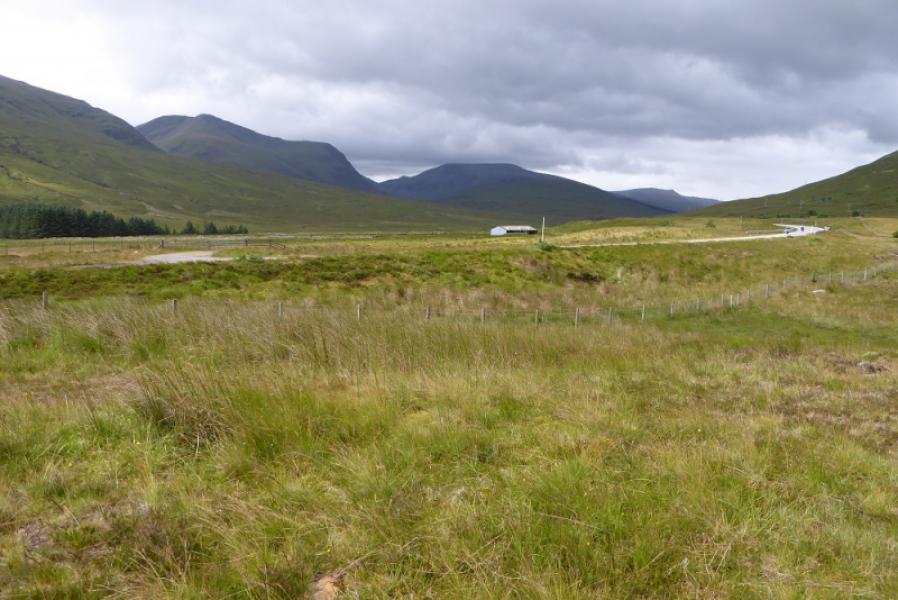
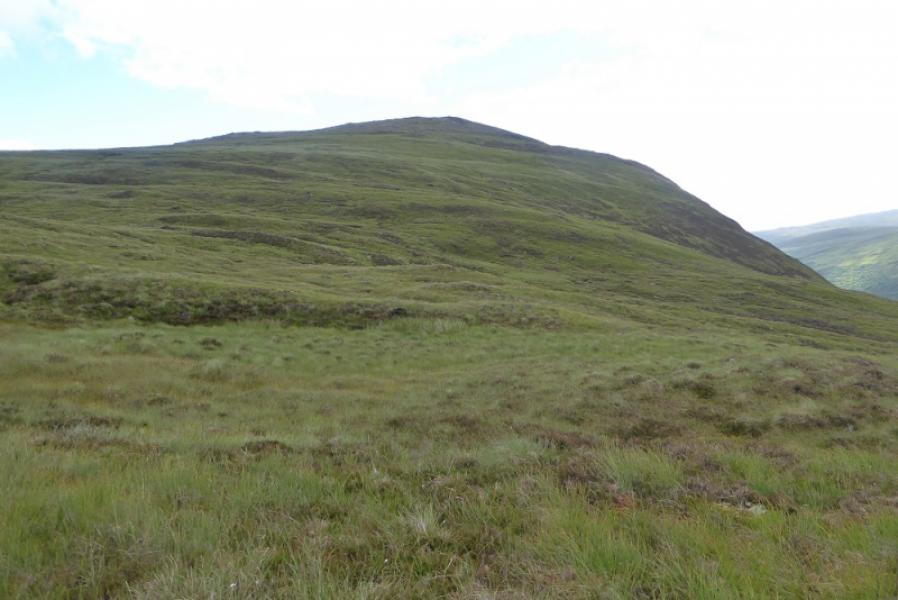
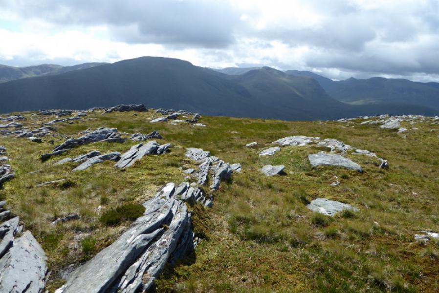
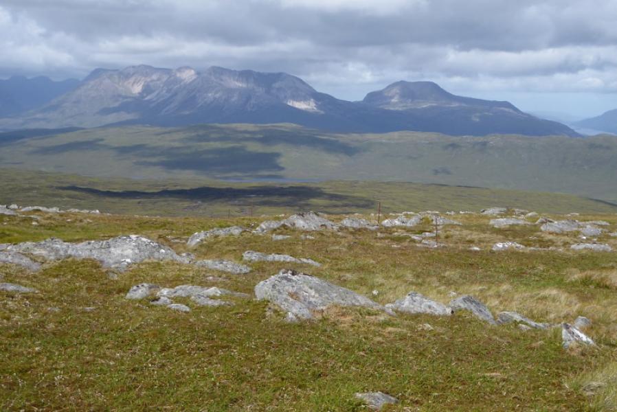
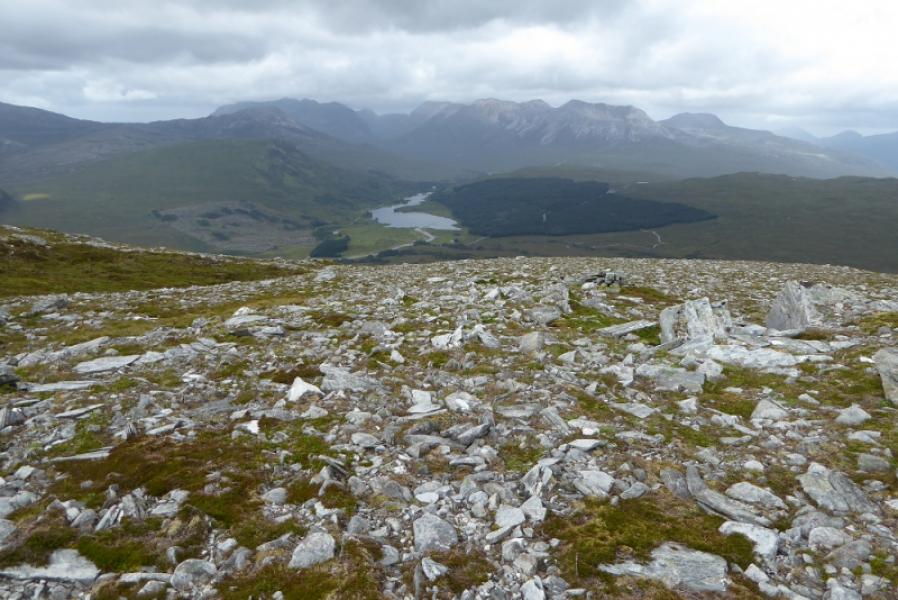
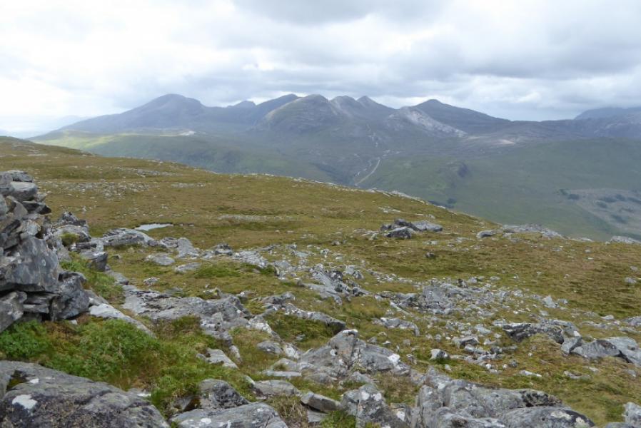
This is a tougher walk than it looks on the map as there are no paths on either hill. Both hills are good viewpoints. Morusig is well seen from Beinn na Feusaige as it is just across the road, so too is Fionn Bheinn. From Carn Breac, there are excellent views to Beinn Liath Mhor, Sgorr Ruadh and Fuar Tholl with Maol Chean-dearg also visible and the Torridon hills further to the north.
Route
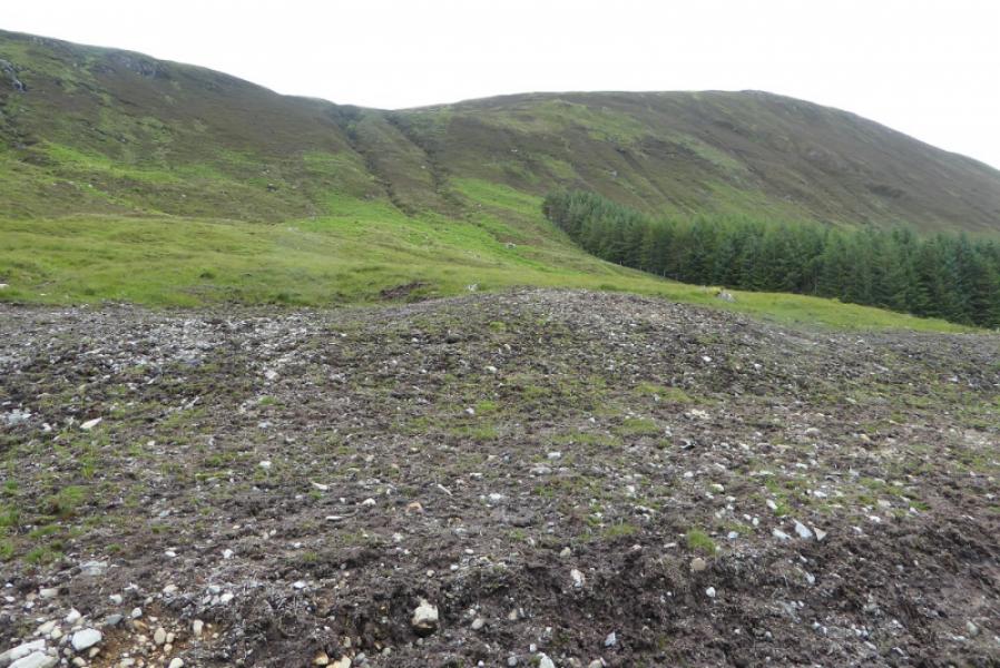
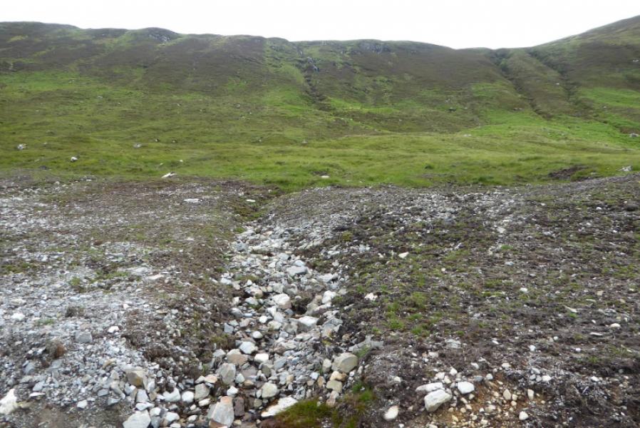
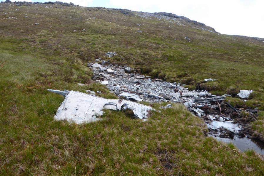
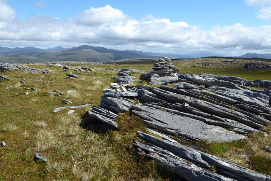
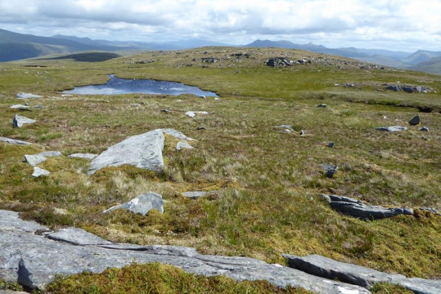
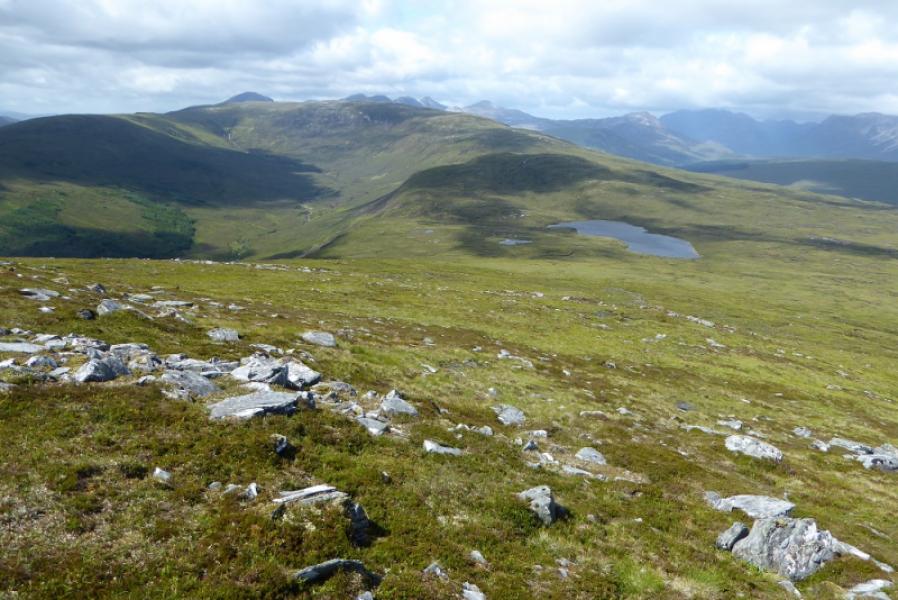
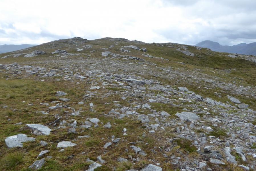
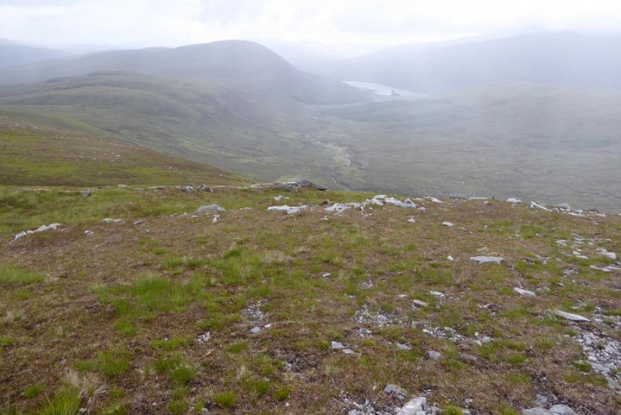
(1) Walk up the old road until a track goes off right. Follow this past the wood on the right then towards a small dam which is the end of the track. The construction of this new track has effectively destroye dthe old stalkers' path shown on the map. Before the dam is reached, look for a suitable way up the steep slopes on the right. Whilst walking in, you may have noticed what looks like a high level path making a rising traverse but it is hard to see where it leaves the glen however it is worth intercepting higher up. Head up the slopes from about the stream after where twin streams come down. It is rough, steep and wet in places with lots of heather so pick out the best ground. When you intercept the path, follow it for a while until you can head further uphill on mainly grassy ground to gain the crest. Head NE to gain the W flank and pick a way up heading E. When the ground becomes more stony, look for the remains of aircraft wreckage. Continue up to reach the long and thin summit plateau where there a small cairn on a low outcrop marks the summit of Beinn na Feusaige, 625 m. A small lochan is a little further to the NE.
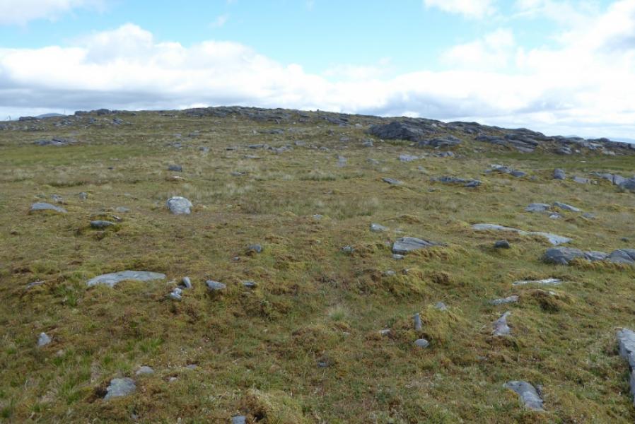
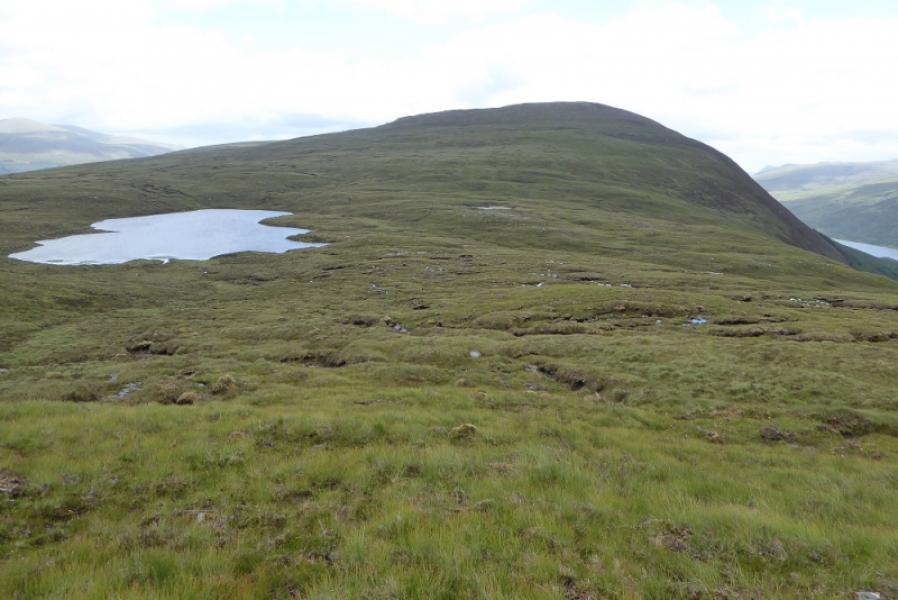
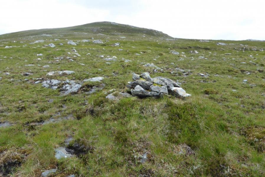
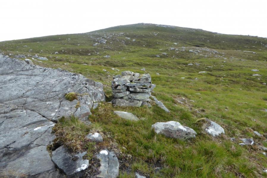
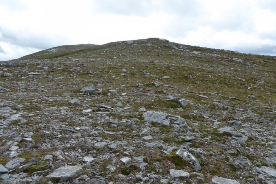
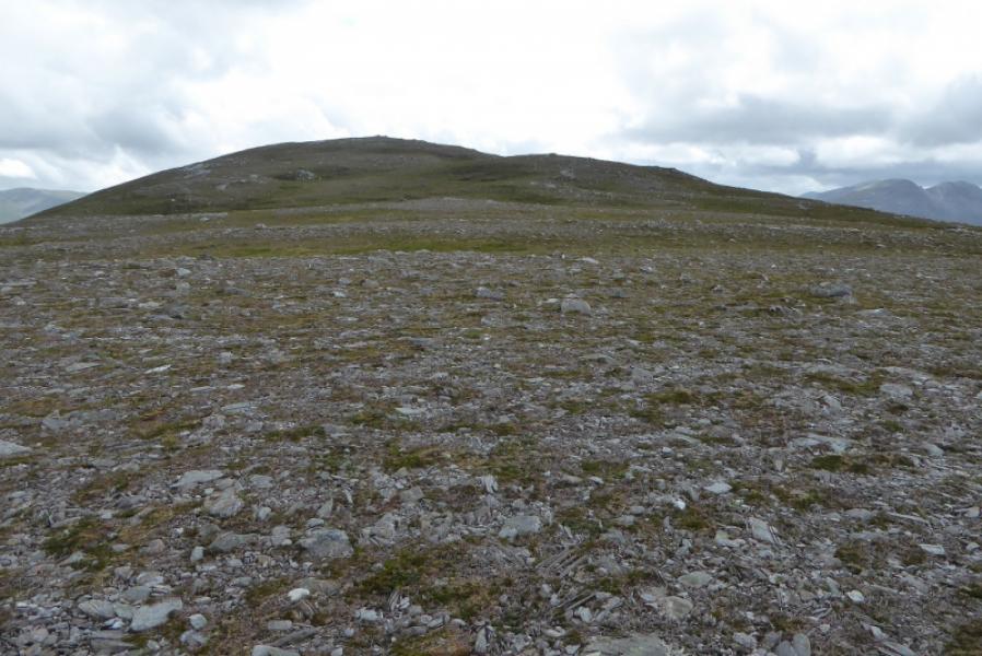
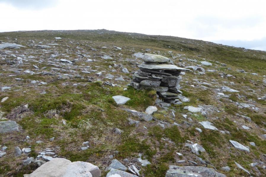
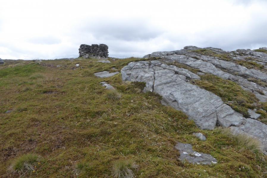
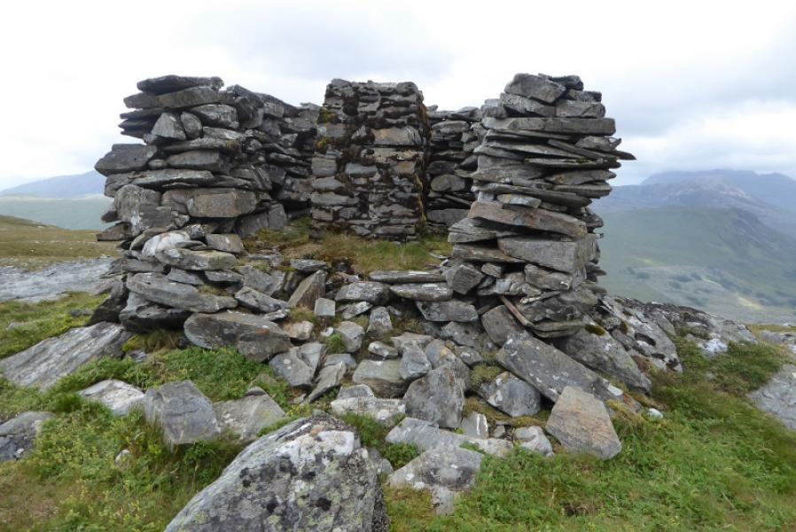
(2) Retrace down the W flank. Pass Lochan Meallan Mhic Iamhair on its left, S, side. The ground is quite boggy around here with lots of wet channels to cross. Continue up Meallan Mhic Iamhair which can be traveresed high up on its S side. Continue W to reach the NE ridge of Carn Breac and follow it up heading SW. There are at least 6 or 7 false tops before reaching a high shelter cairn with a trig point inside which is the summit of Carn Breac, 678 m. There are some “squat” cairns on the ridge to the summit but it is not clear what their significance is.
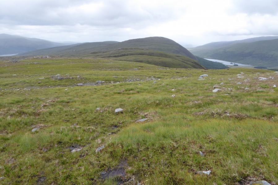
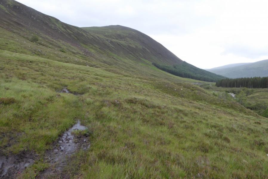
(3) Descend back down the ridge and try to locate the stalkers' path which starts before Meallan Mhic Iamhair. It is not easy to find or to follow if found but it is not too rough to pick a way down the open hillside and follow the river towards the new dam then the track back to the start.
Notes
(a) This walk took place on 16th July, 2017, and about 15 years earlier but in reverse.
Photos - Hover over photo for caption. Click on to enlarge. Click on again to reduce.