Get Lost Mountaineering
You are here: Scotland » 13 Applecross, Coulin and Torridon » Achnasheen to Applecross
Beinn Liath Mhor, Sgorr Ruadh & Fuar Tholl from Achnashellach
Beinn Liath Mhor, Sgorr Ruadh & Fuar Tholl from Achnashellach
Start/Finish
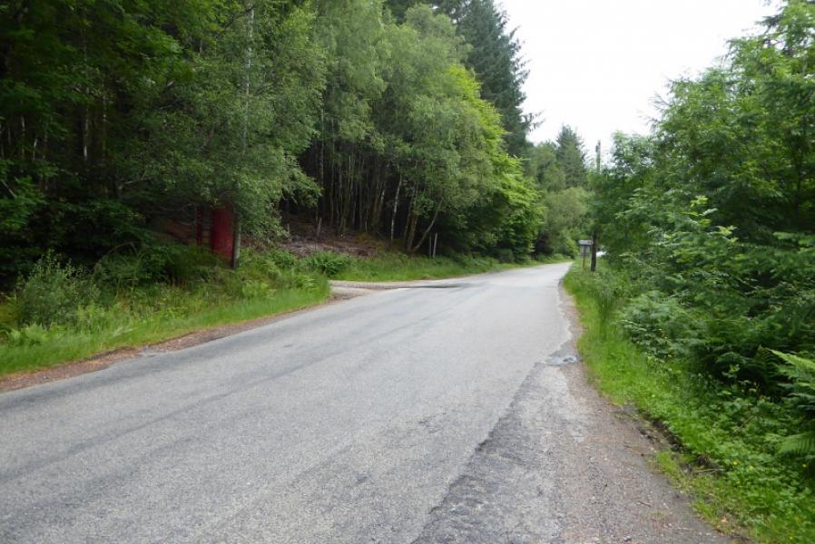
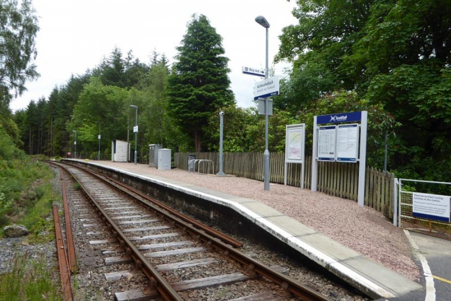
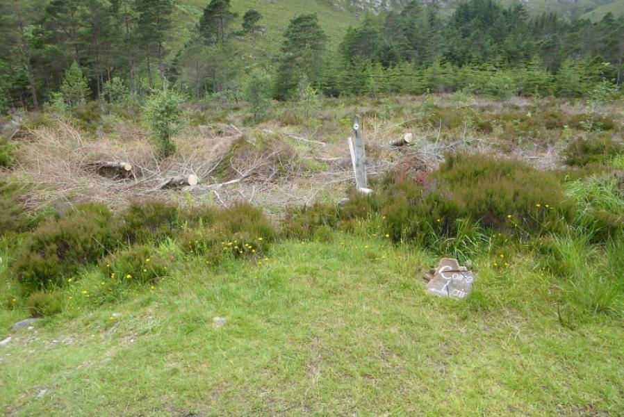
Car parking spaces almost opposite track to Achnashellach Station on A890 road between Lochcarron and Achnasheen. On 10/7/17, there was an old red telephone box at the start of the track to the station.
Distance/Time
19 km walk. About 10 hours.
Peaks
Beinn Liath Mhor, 926 m, NG 964 519.
Sgor Ruadh, 962 m, NG 959 505.
Fuar Tholl, 907 m, NG 975 489. OS sheet 25: Glen Carron
Introduction
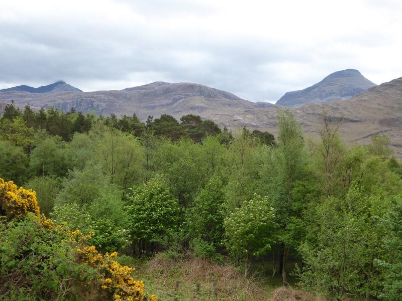
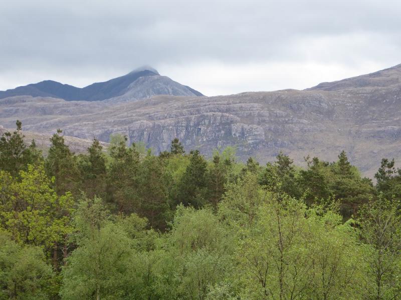
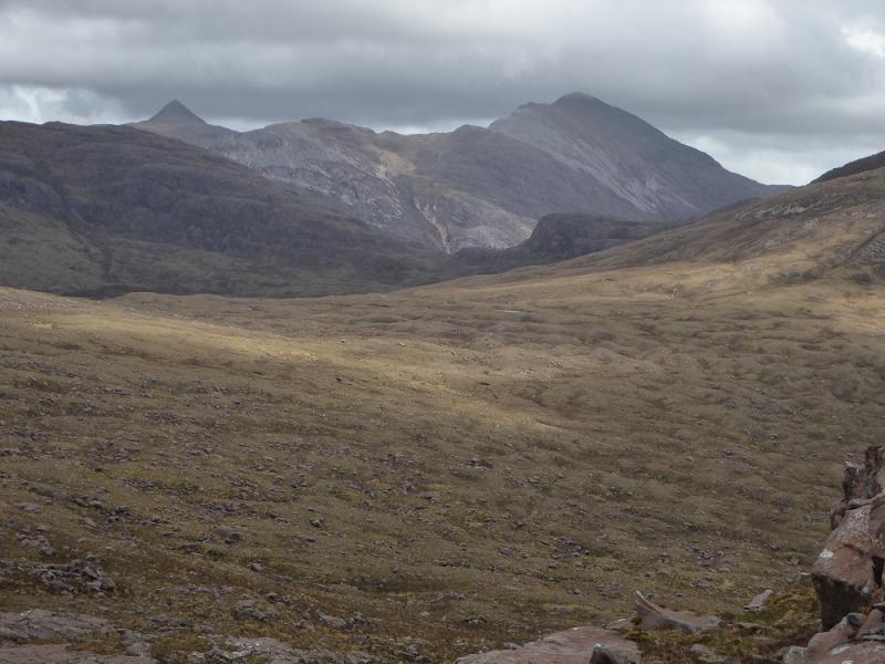
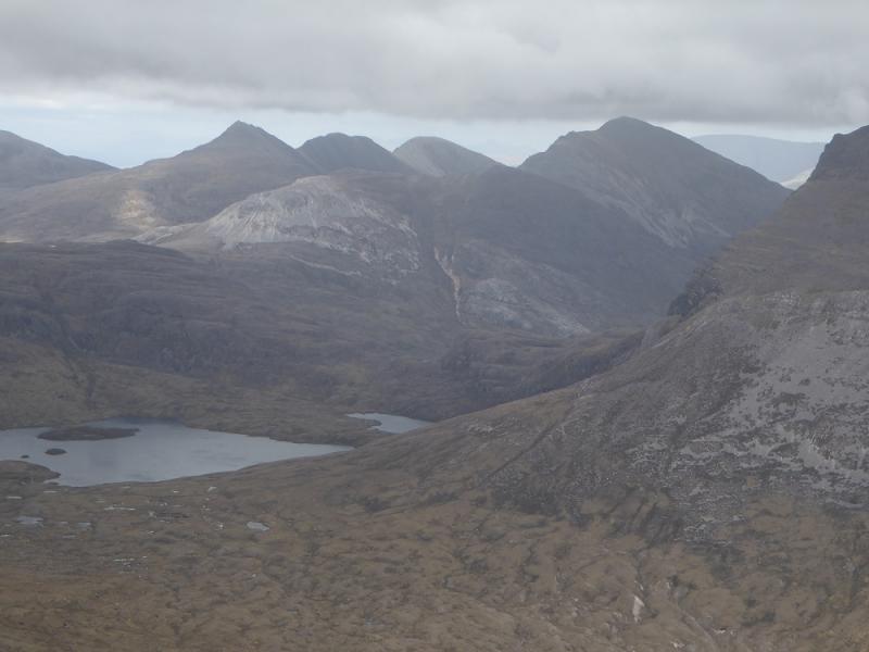
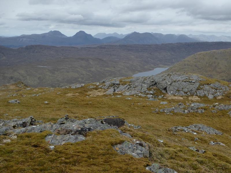
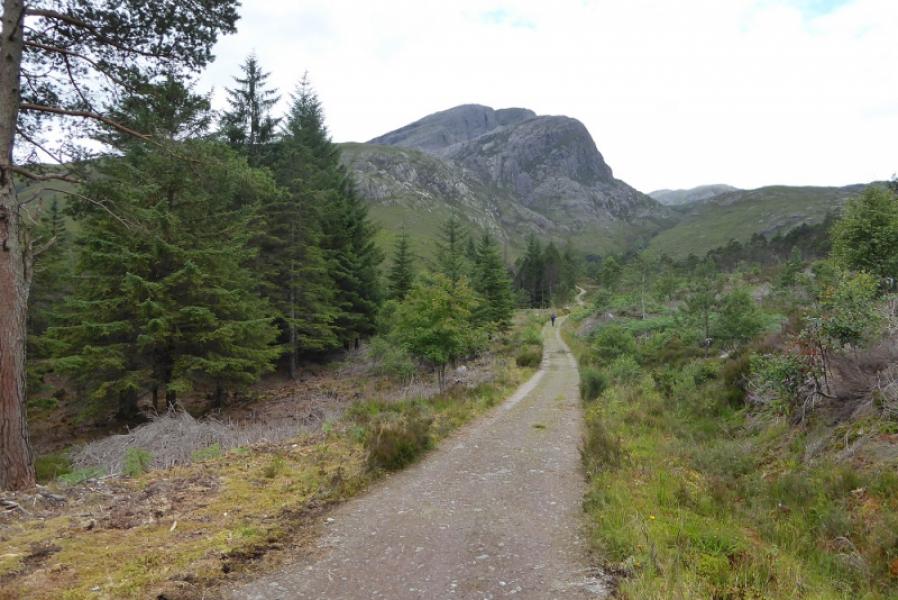
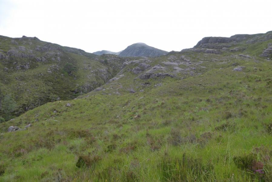
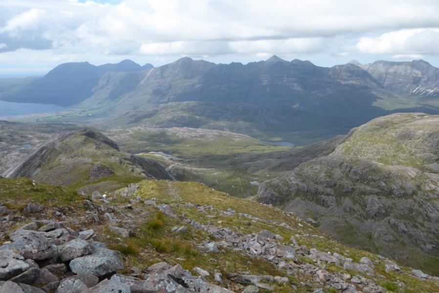
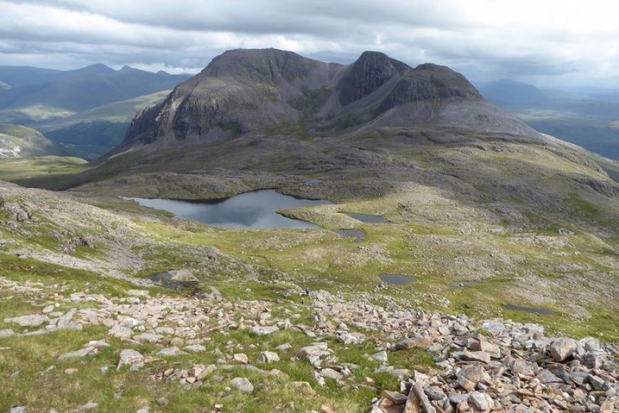
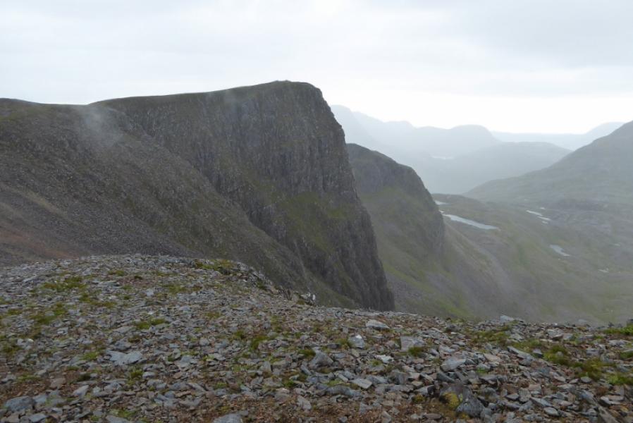
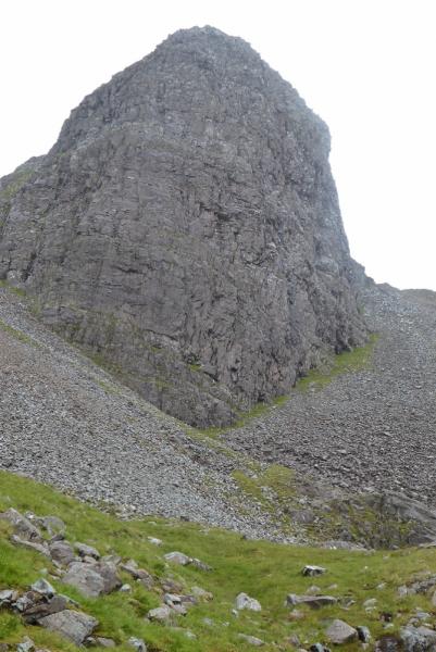
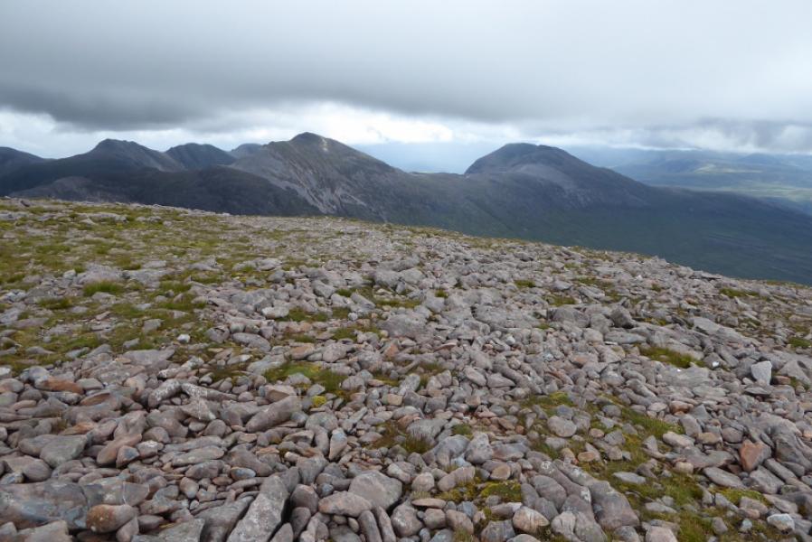
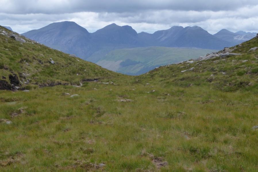
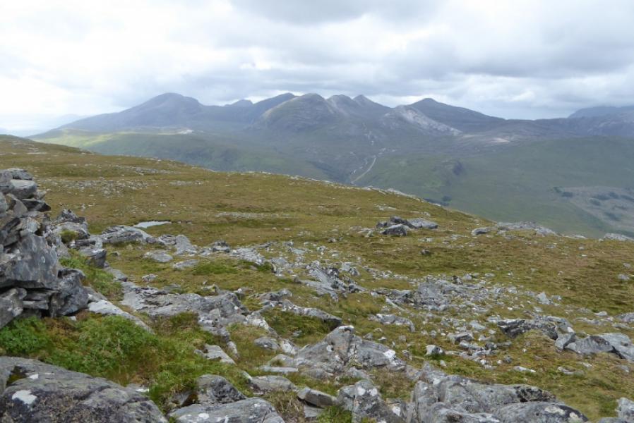
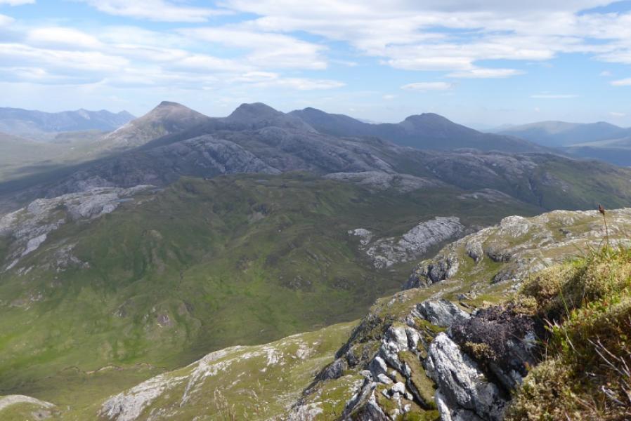
This is a tough walk with a steep climb up to Beinn Liath Mhor E Top, an awkward step on the crest to Beinn Liath Mhor and a very unpleasant, hard to find, badly eroded path down from Beinn Liath Mhor to the bealach before Sgorr Ruadh. The descent off Sgorr Ruadh is steep and boggy in places. The bealach at the bottom of this descent is very broad with many minor tops. The ascent of Fuar Tholl, in this route, has some exposure. The return route has to cross the River Lair which is only possible in a dry spell. The views are very good and include the Torridon mountains, Sgurr nan Lochan Uaine and many peaks to the south. Fuar Tholl is the finest of the three mountains and has a magnificent buttress known as the Mainreachan Buttress. This route is not recommended in poor visibility.
Route
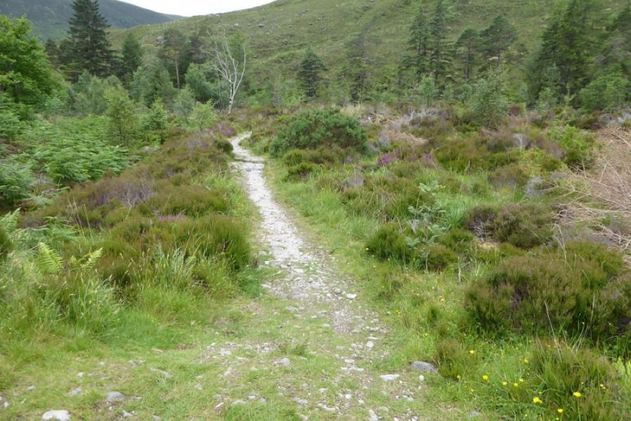
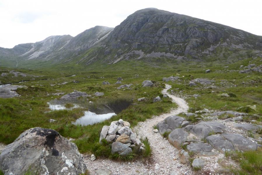
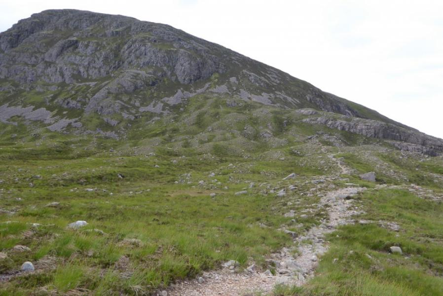
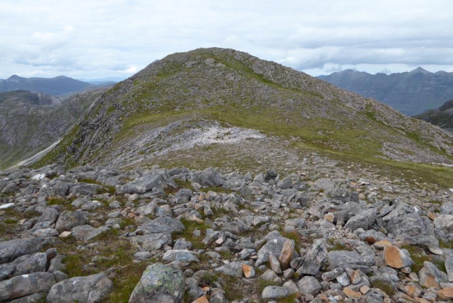
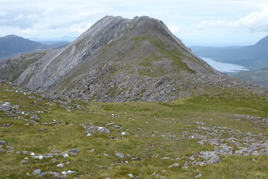
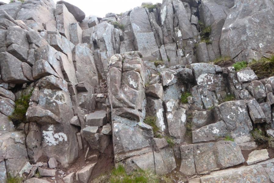
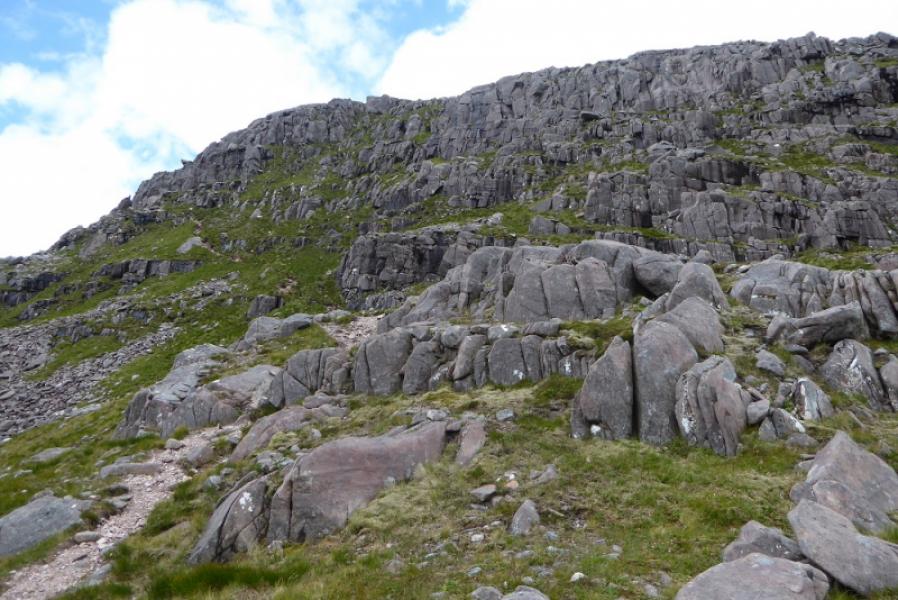
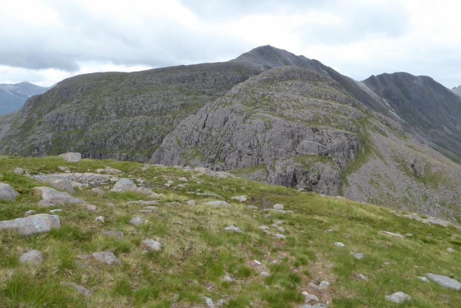
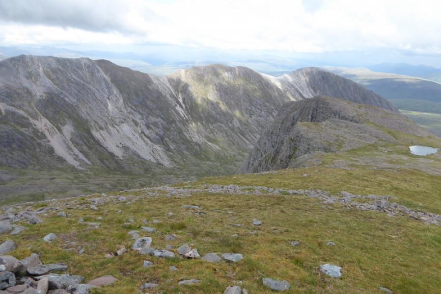
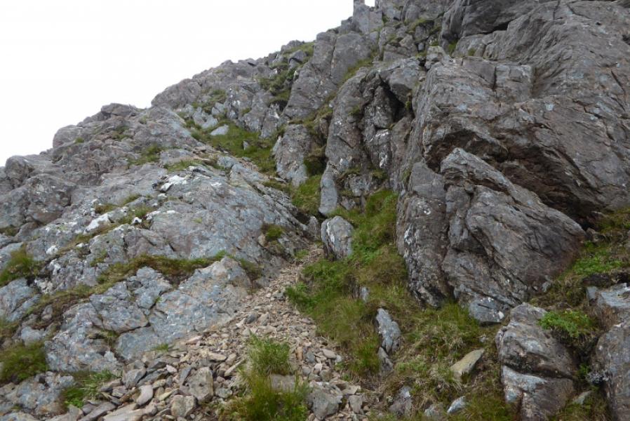
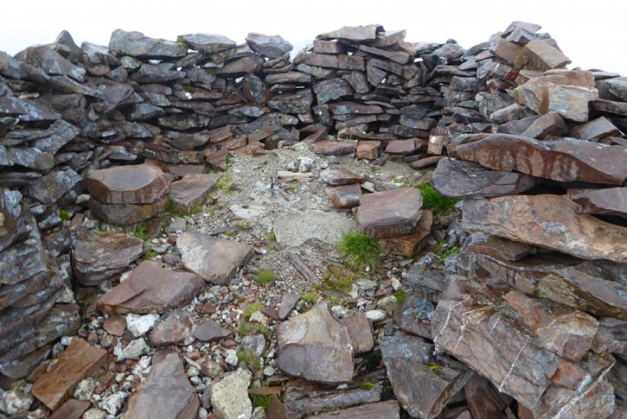
(1) Walk up the track to the station. Cross the track and follow the track going up and right. Soon after, reach a junction where a sign (almost hidden) indicates a sharp left turn along another track. Follow this for several hundred metres until a small cairn indicates a reverse left fork onto a path which descends slightly and leads to a gate and the path up Coire Lair. Follow the path as it winds uphill and reaches the open hillside. A gorge is passed on the left but may not be noticed as the path has swung right and away from the river. When the ground almost levels out, reach a junction with a path coming from the left. This is the return path from the River Lair. If you have any doubts about being able to cross the river on the reurn then make the short diversion and check before continuing. Soon after this junction there is another junction with a cairn on the right. Take the right fork and follow it for about 300 m until a faint path goes off left and starts to climb the steep SE flank of Beinn Liath Mhor E Top (876 m). The path soon becomes much more obvious but it is steep and eroded in places. After much effort, the angle finally eases with the ground becoming more stony and the path less obvious. Reach a large cairn which is the summit of Beinn Liath Mhor E Top (876 m). Continue WNW along the obvious crest with an obvious path most of the way. Several minor tops have to crossed involving the gain and loss of height. On the descent of one of these is an awkward corner groove to get down but it may be possible to bypass this by going to the right. Continue along the crest and eventually start the final ascent to the main top where a large cairn marks the summit of Beinn Liath Mhor, 926 m.
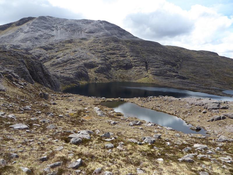
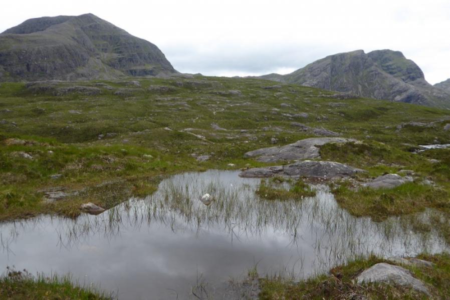
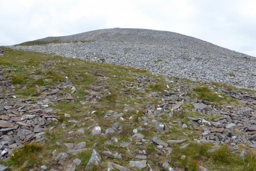
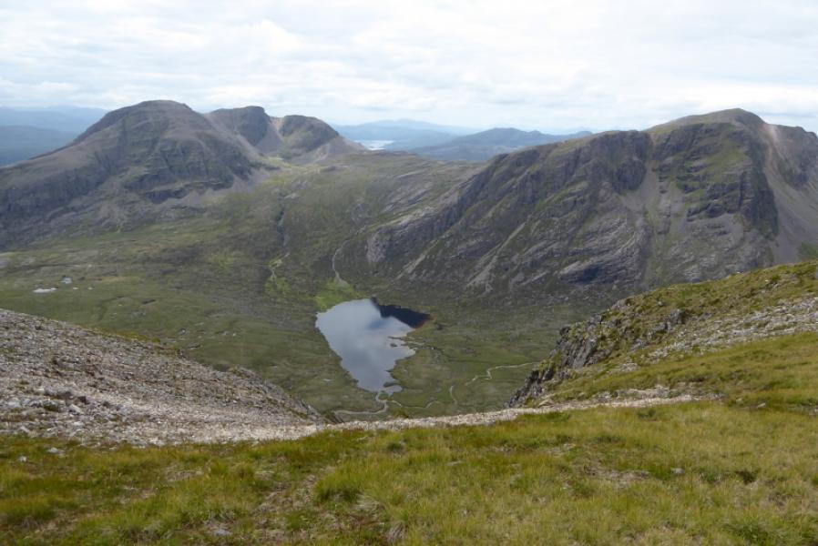
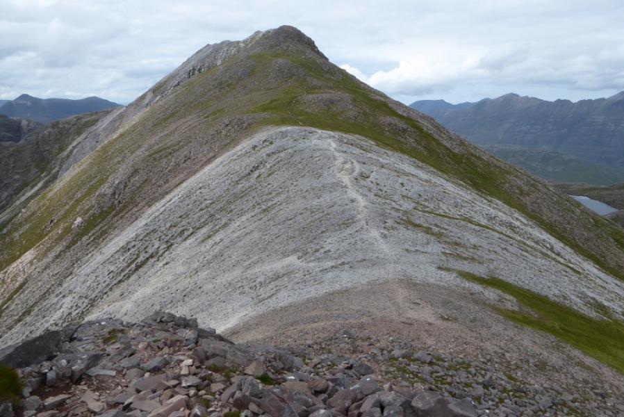
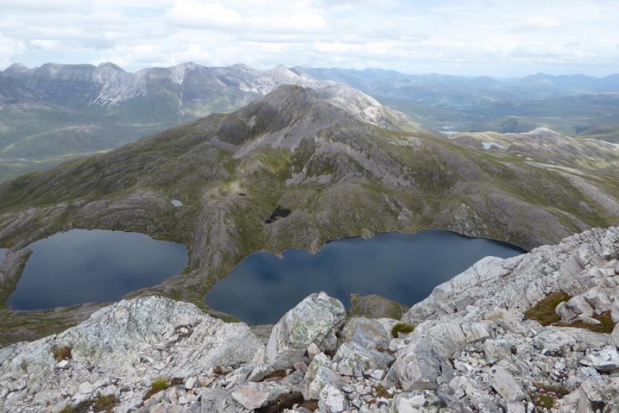
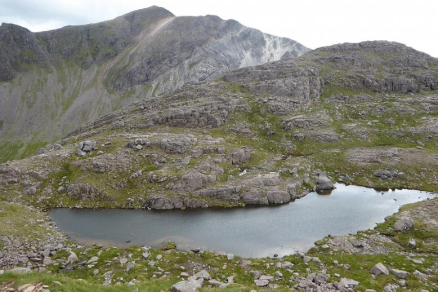
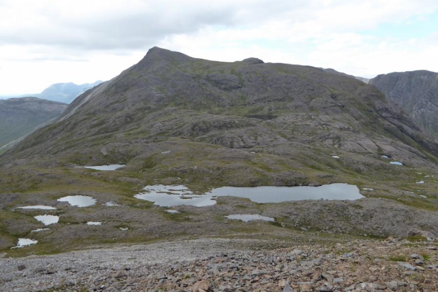
(2) The descent initially goes WSW over stony but otherwise easy ground before going more to the SW. The path soon becomes difficult to follow but the occasional cairn helps. The path reaches the top of a large broken sandstone crag and then slants down to the left. This section of path is fairly obvious but badly eroded so be very careful as the rock is nearly always wet. At the bottom, the path is fairly obvious for a while so make sure you pass the small lochan at about NG 959 516 which sits in a hollow before a minor top. Go over or round (left) this top and reach the main path up Coire Lair and the lochan in the bealach between the two Munros. A path soon slants off uphill on the left about halfway along the lochan. Follow this up but it, too, has its faint sections so, if in doubt try to follow the crest and you should pick up the path again which leads up, without difficulty, to the large shelter cairn which is the summit of Sgor Ruadh, 962 m.
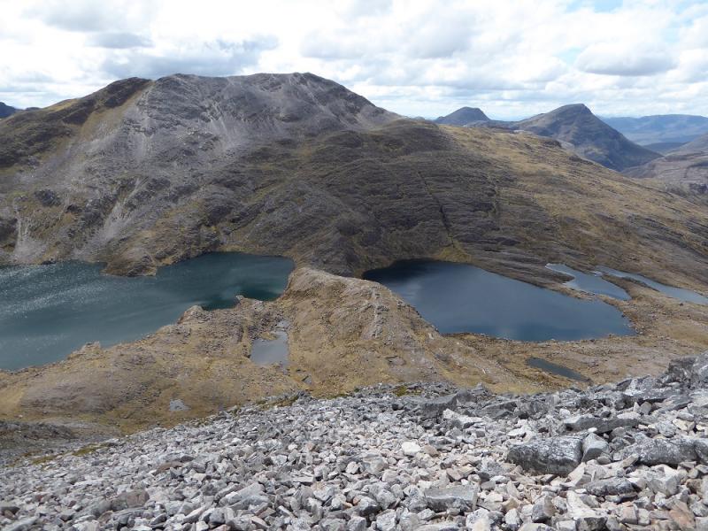
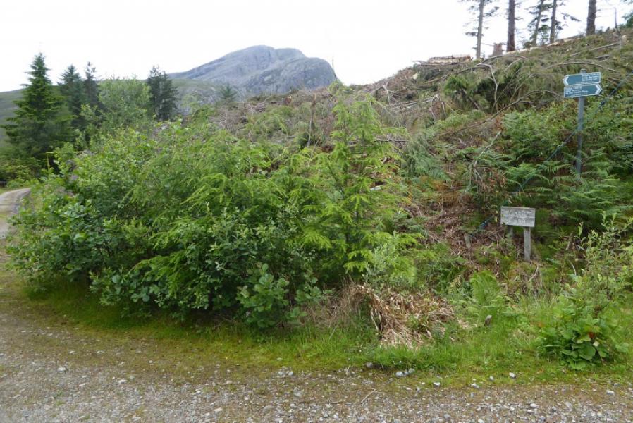
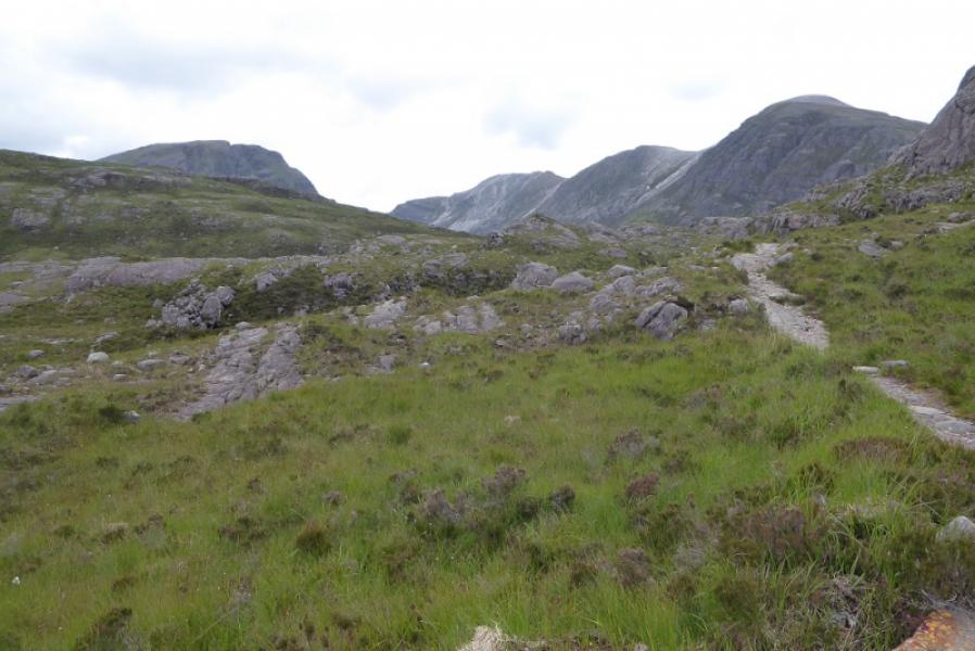
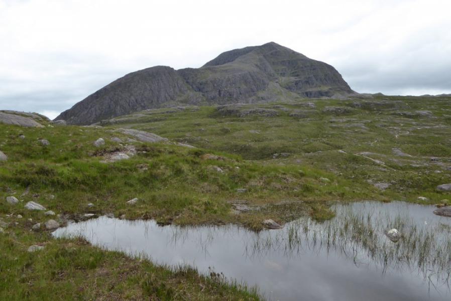
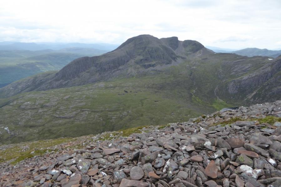
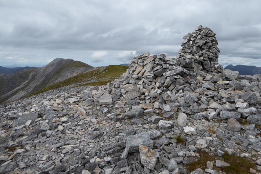
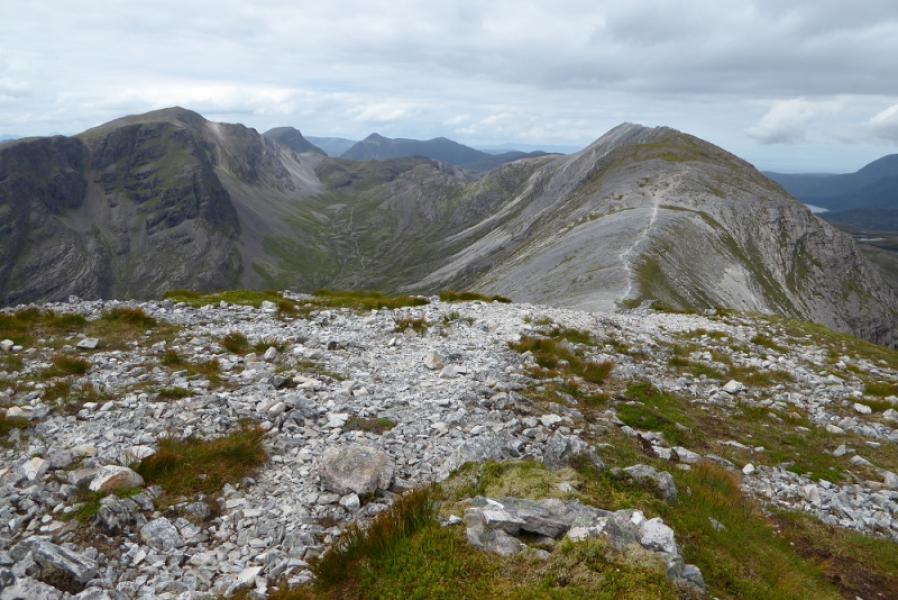
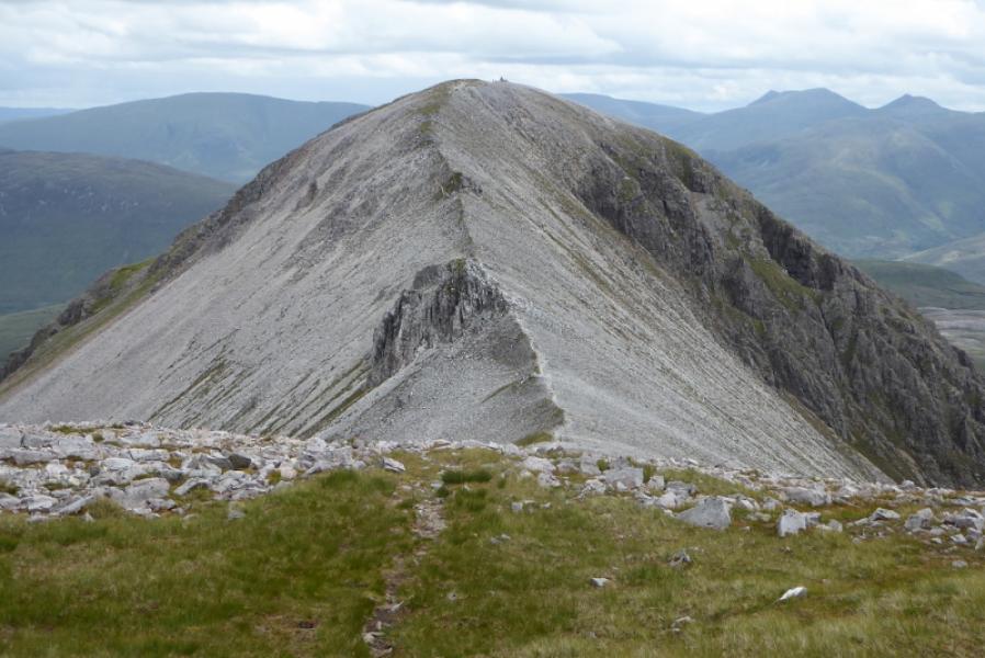
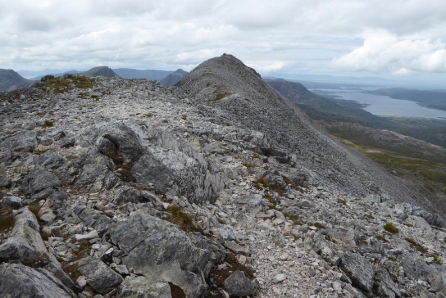
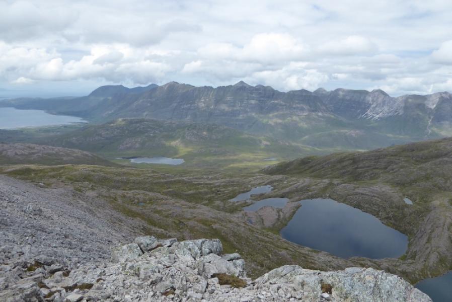
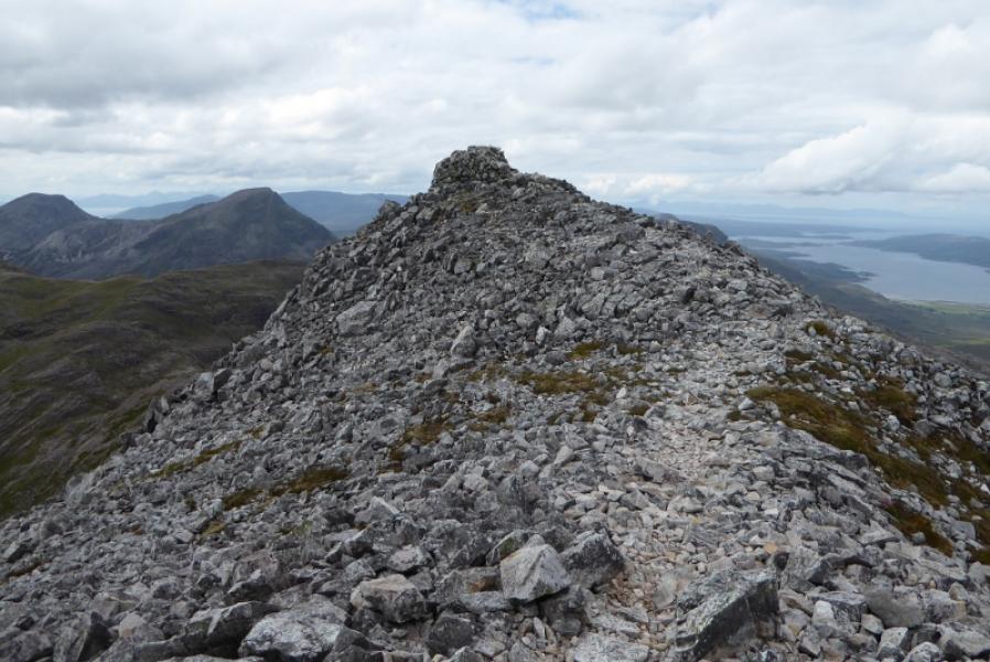
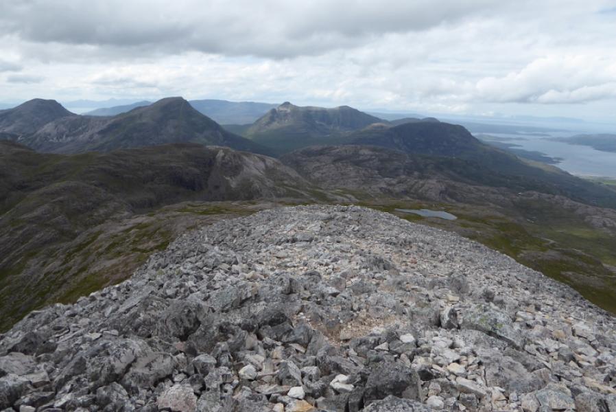
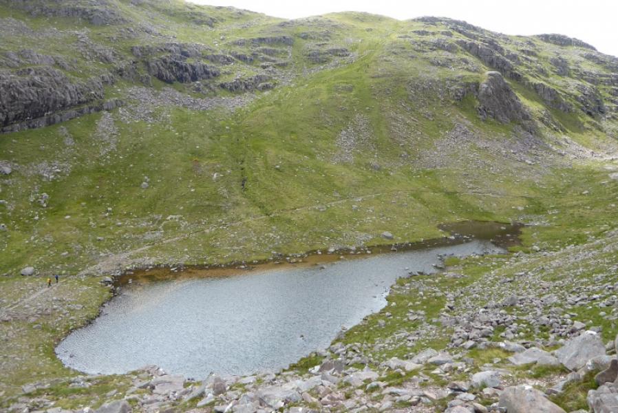
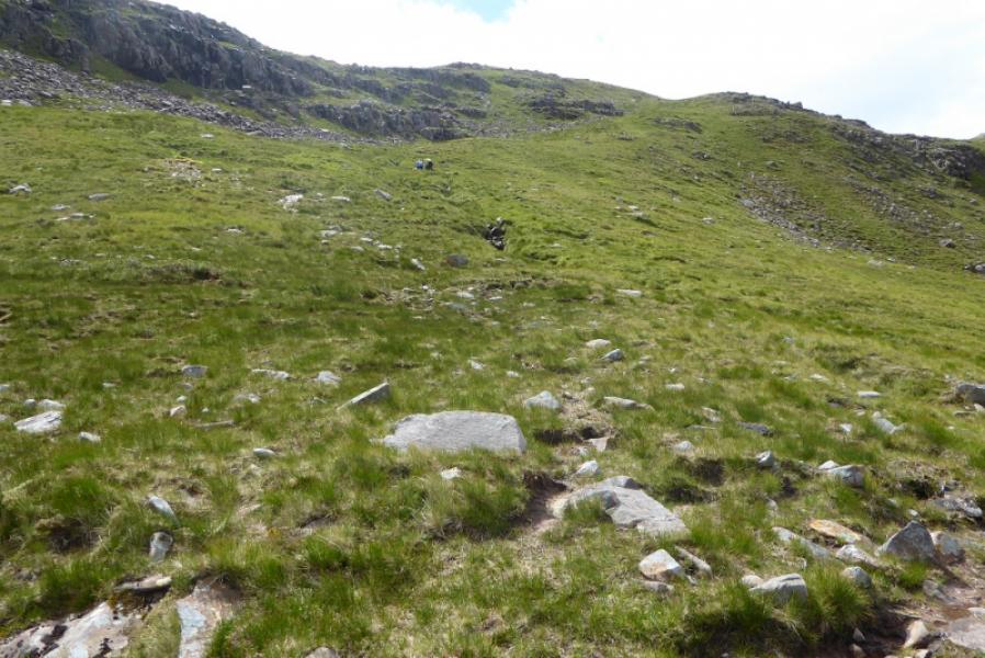
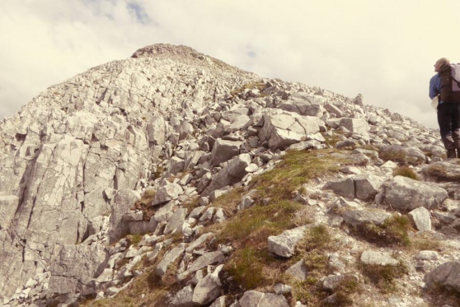
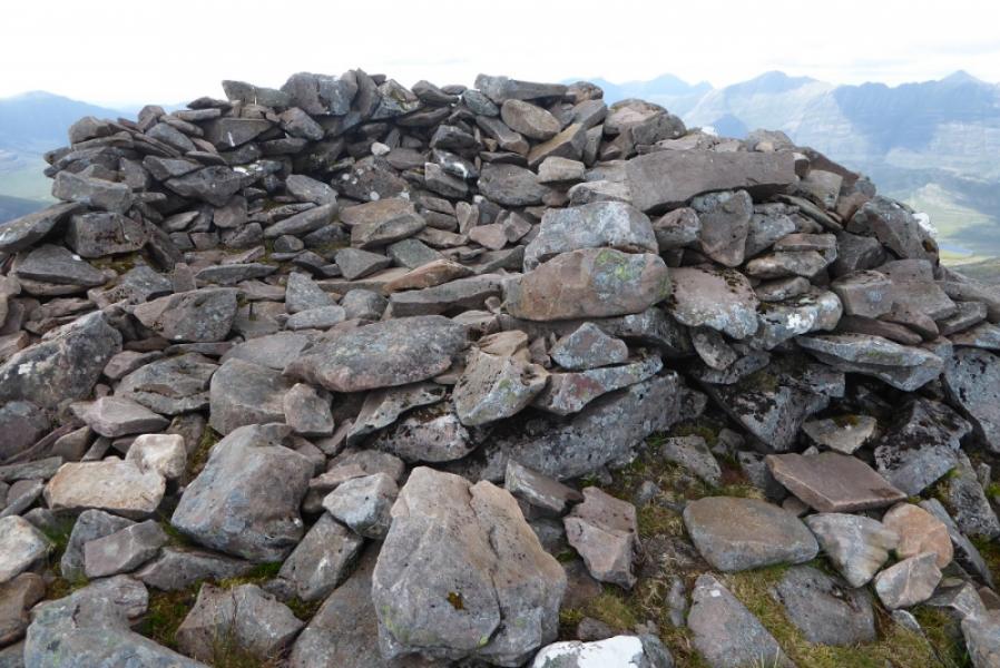
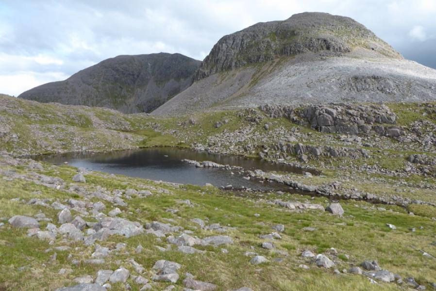
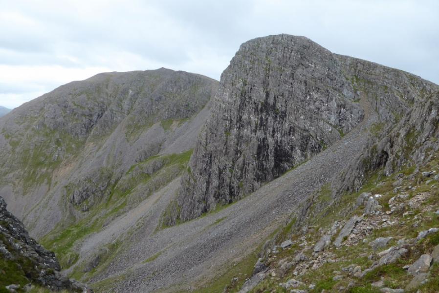
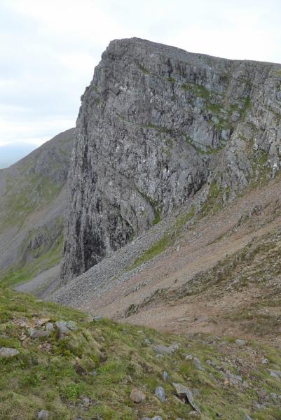
(3) Descend generally SW down mainly grassy slopes where there is no obvious path much of the way. Aim for the obvious Loch a' Bhealach Mhoir. The bealach is a complicated area of many minor tops and would be very confusing in mist especially in the absence of an obvious path. Pass the loch on its W side then continue roughly SSE past other lochans and over as few tops as possible. Cross the stalkers' path shown on the map. If not going to Fuar Tholl, follow this down to the River Lair crossing then retrace the outward route. Otherwise, continue to the foot of Fuar Tholl's NW ridge where there appears to be a a faint path up the large scree. This leads up to a shallow groove slanting up and left which is clearly a path but it leads across steep slopes then goes right up a steep grassy “gully” after which there are no more difficulties. It might be possible to avoid this section by going further around to the right from the top of the screes. Ascend up to the highest point of this top and, if you haven't found it already, follow a path down then up to the top of the Mainreachan Buttress then down again and up to shelter cairn containing the barest remains of a trig point which is the summit of Fuar Tholl, 907 m.
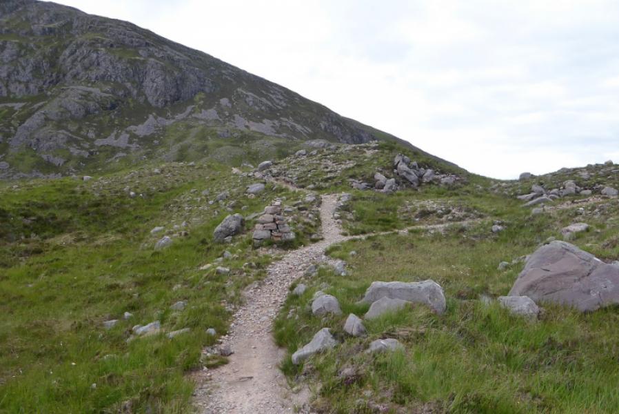
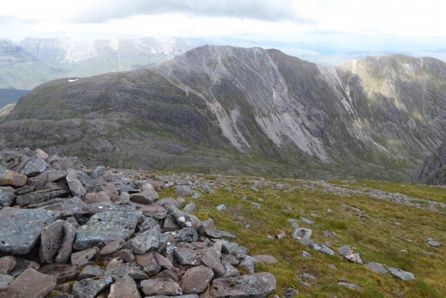
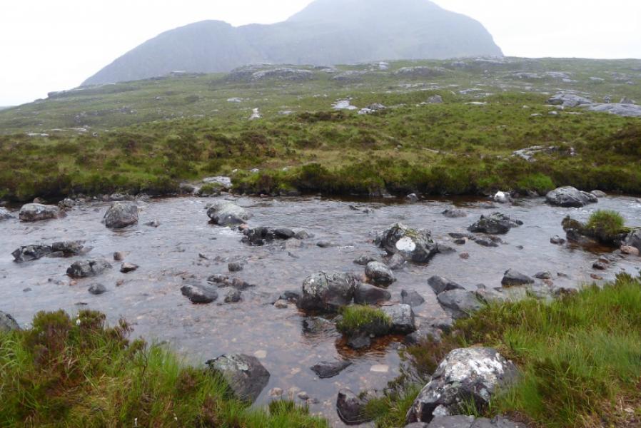
(4) Retrace to the last dip then follow a path down the corrie with the Mainreachan Buttress on your left. The path is moderately steep and a little loose but better than the descent off Beinn Liath Mhor. Lower down, it reaches grass and one can soon reach the stalkers' path. Follow this down (further than you might think) to where it crosses the River Lair. The best crossing seems to be about 20 m downstream of where the path would suggest. Ascend up the other side to rejoin the outward path and follow it back to Achnashellach. If the River Lair crossing was inspected earlier and found to be too difficult then the only reasonable alternative is to leave the stalkers' path high up and go around the W side of Loch Coire Lair to join the main Coire Lair path there with all the extra time and distance that would involve.
Notes
(a) This walk took place on 10th July, 2017, and about 15 years earlier. About 20 years earlier the two Munros were climbed but not Fuar Tholl.
Photos - Hover over photo for caption. Click on to enlarge. Click on again to reduce.