Get Lost Mountaineering
You are here: Scotland » 13 Applecross, Coulin and Torridon » Achnasheen to Applecross
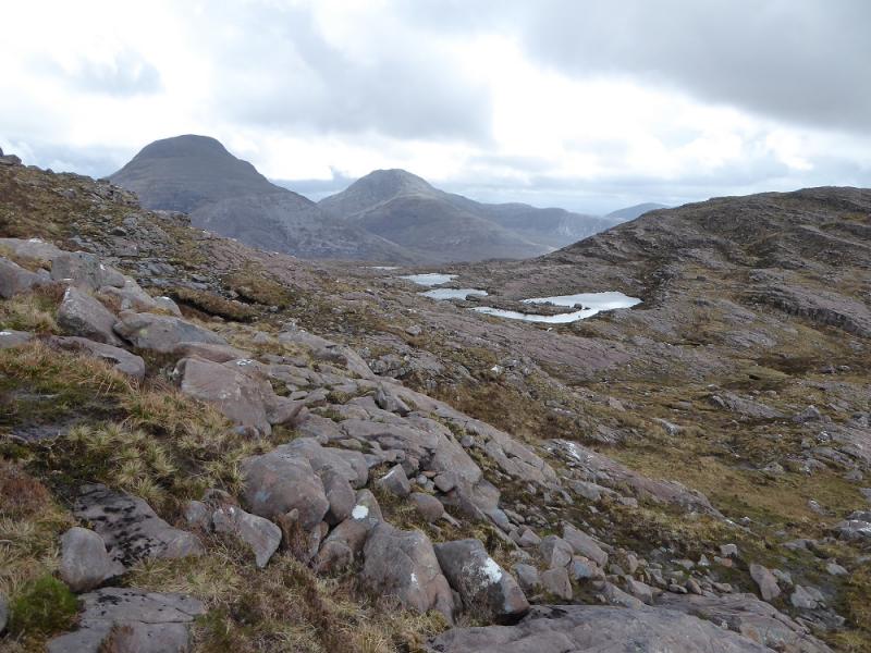
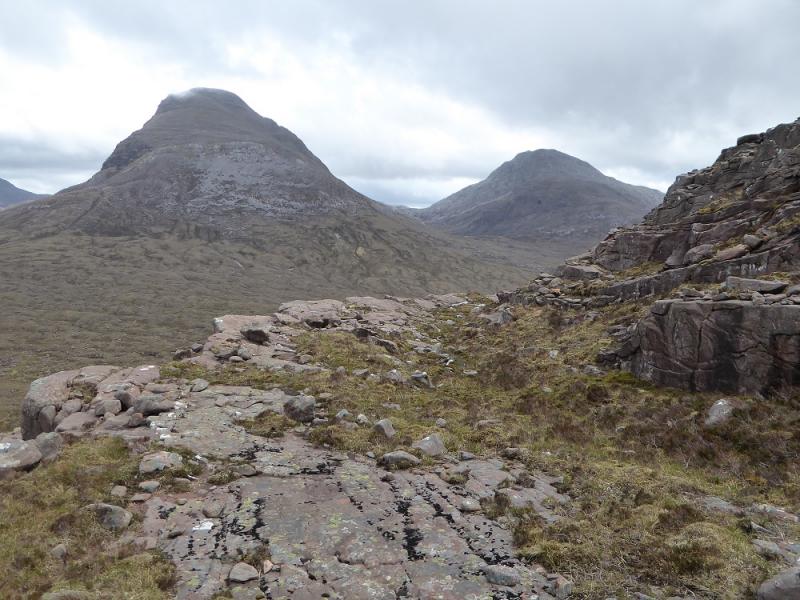
Beinn na-h-Eaglaise & Beinn Damh from Torridon Inn car park
Beinn na-h-Eaglaise & Beinn Damh from Torridon Inn car park
Start/Finish
Car park at the Torridon Inn which is signed off the road just to the west of Annat at the west end of Glen Torridon. It is close to the larger and grander Loch Torridon Hotel.
Distance/Time
13 km. About 8 - 9 hours.
Peaks
Beinn na h-Eaglaise, 736 m, NG 908 523.
Beinn Damh, 903 m, NG 892 502. OS sheets 24 & 25 (both needed)
Introduction
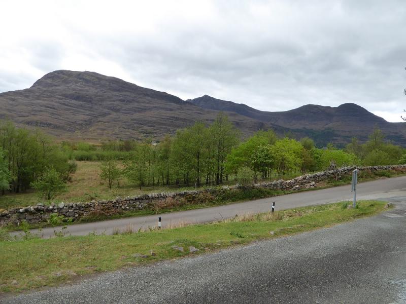
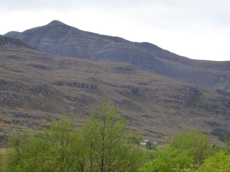
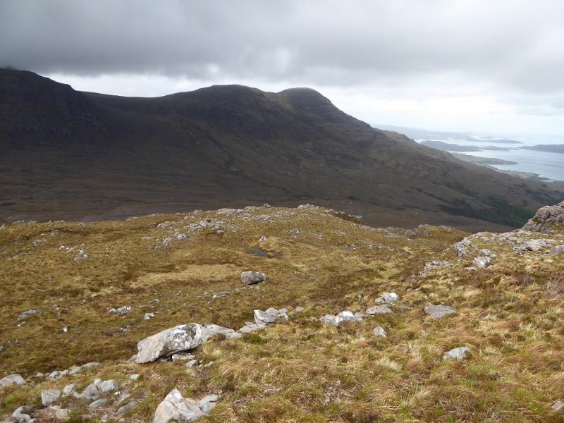
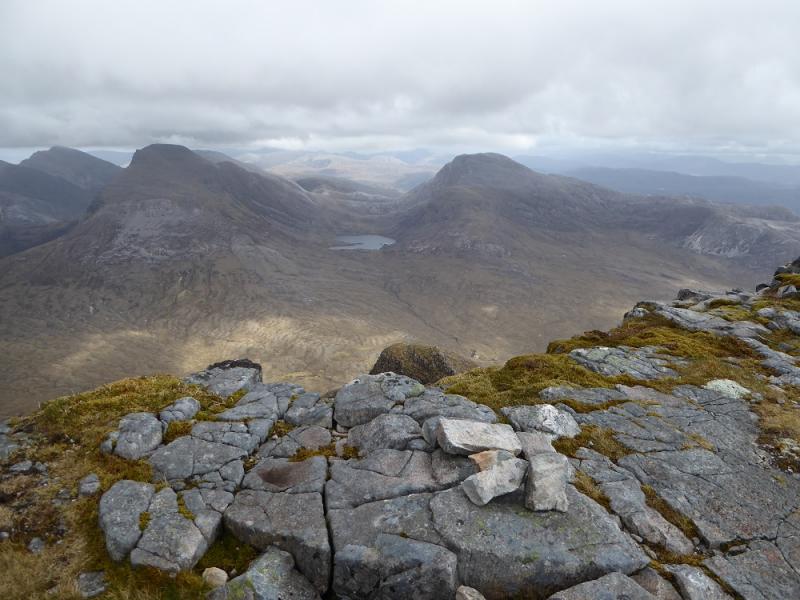
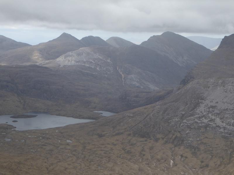
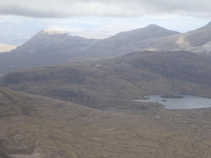
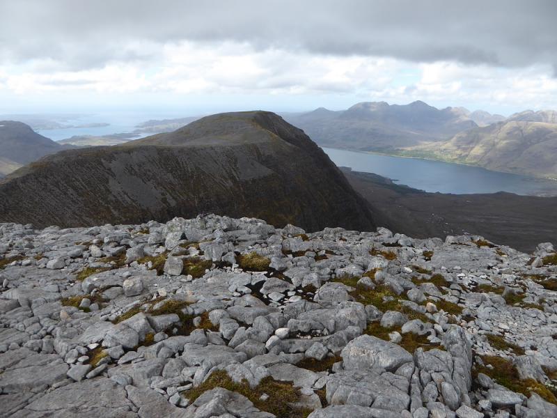
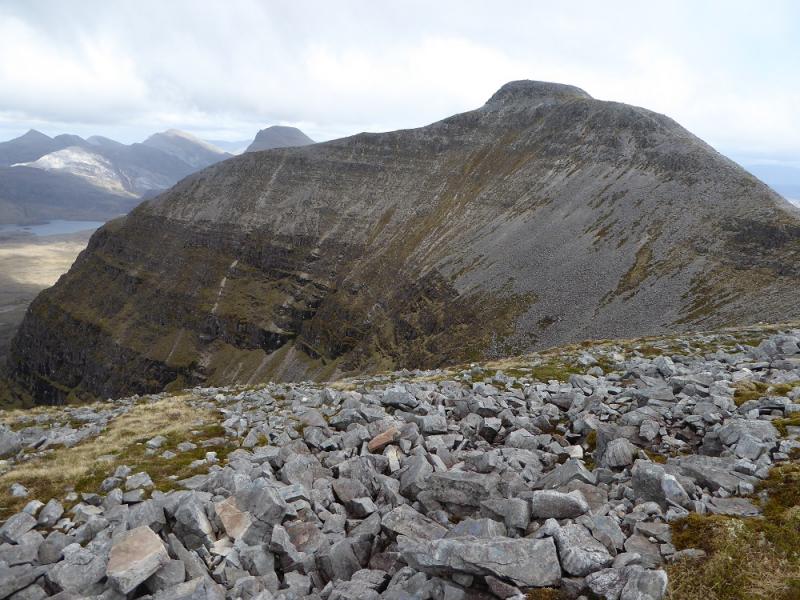
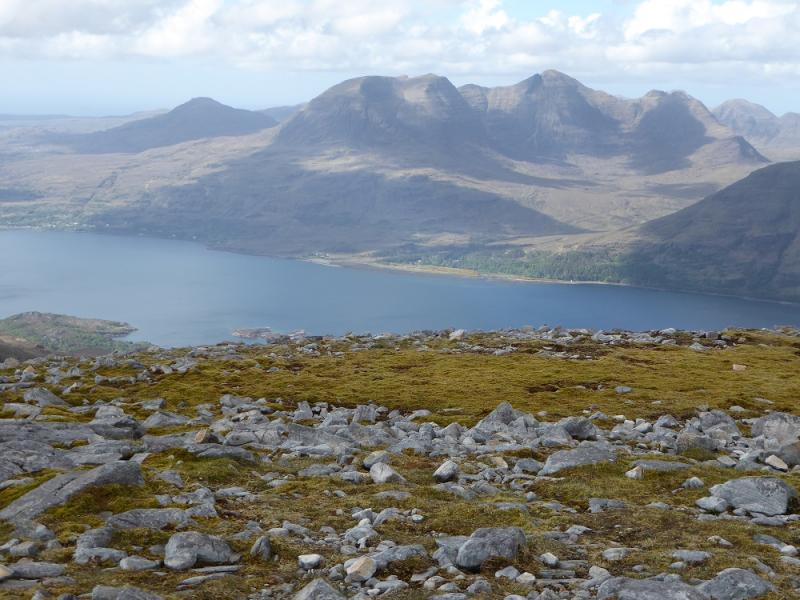
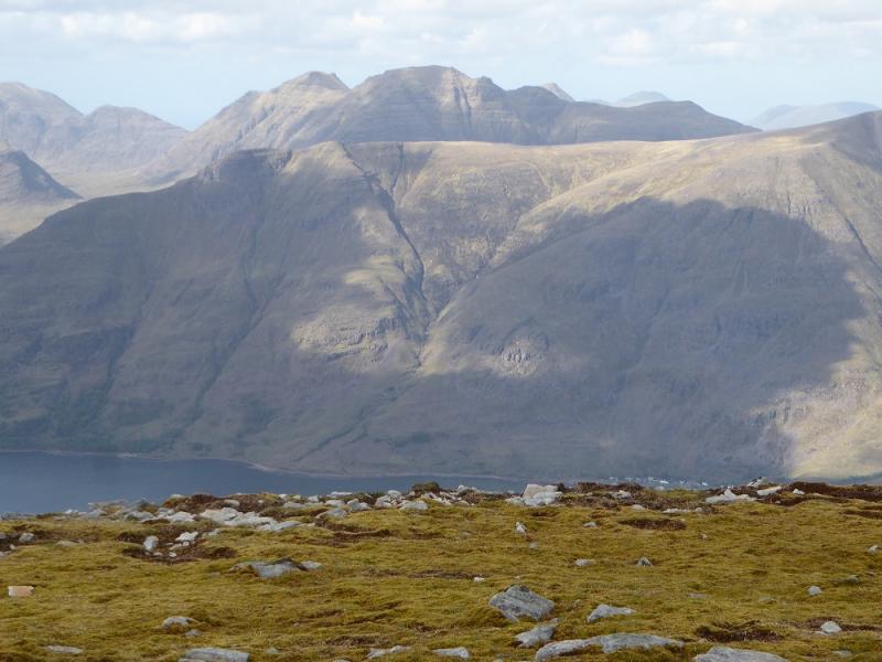
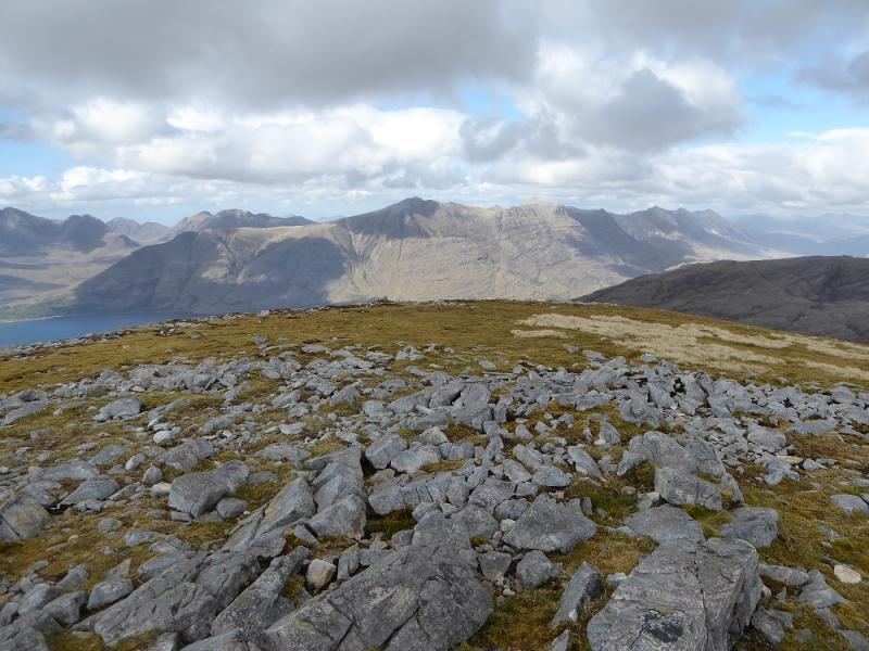
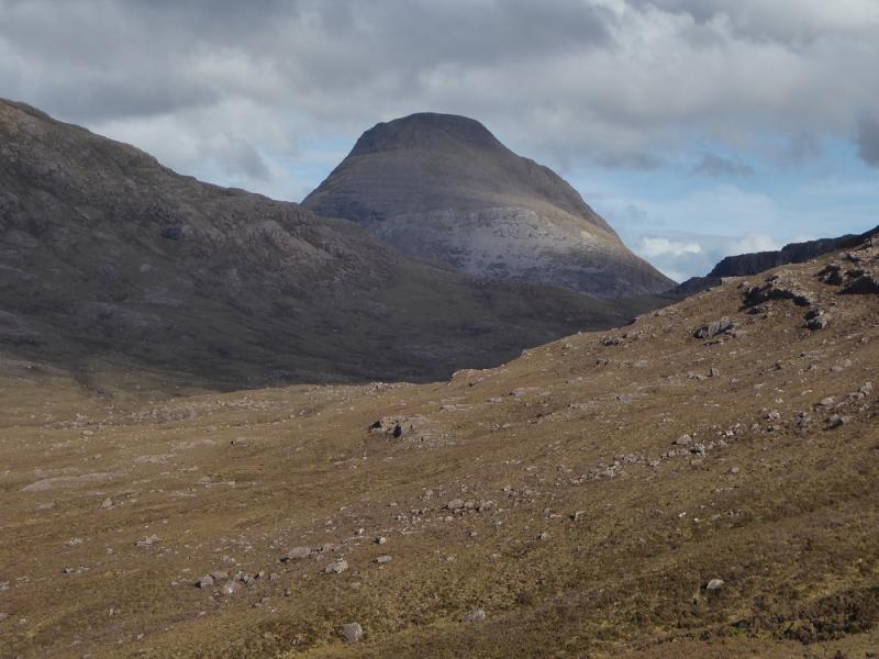
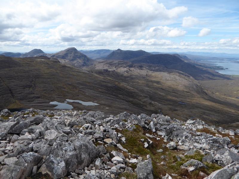
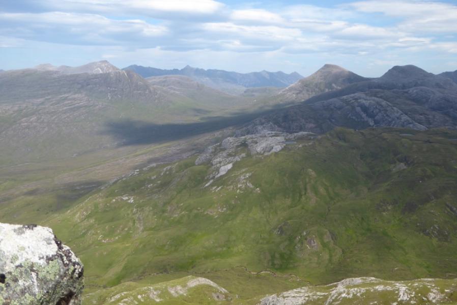
Beinn na h-Eaglaise is a pleasant hill with great views. Beinn Damh is a rough and unpleasant hill with views no better than Beinn na h- Eglaise. If you don't have to climb Beinn Damh then don't bother as it is littered with unpleasant boulder fields and a rough and stony path. From Beinn na h-Eaglaise there are excellent views to Maol Chean-dearg and its neighbour An Ruadh-stac, Sgorr Ruadh, Beinn Alligin, Liathach and Beinn Eighe. There is a potentially difficult river crossing in wet weather. This walk is, unfortunately, on two maps, as are other routes in this area. It is probably worth having a custom made map produced by the OS which allows you to specify wher ethe centre of the map should be. They have been offering this service for years and it is more expensive than a normal map but well worth it in the Torridon area.
Route
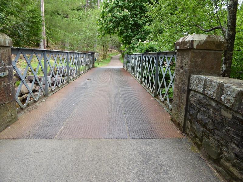
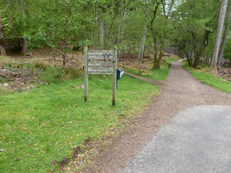
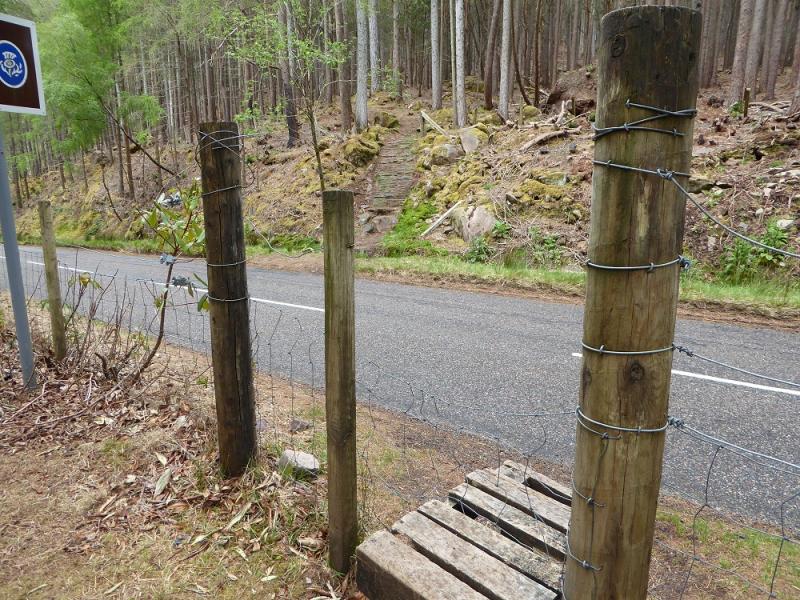
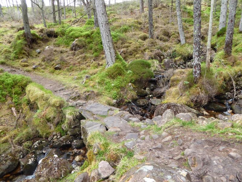
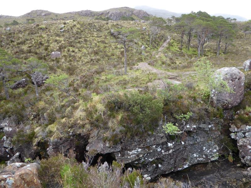
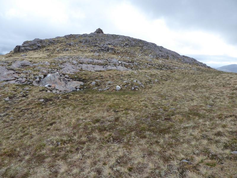
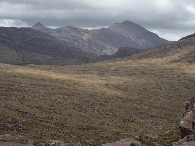
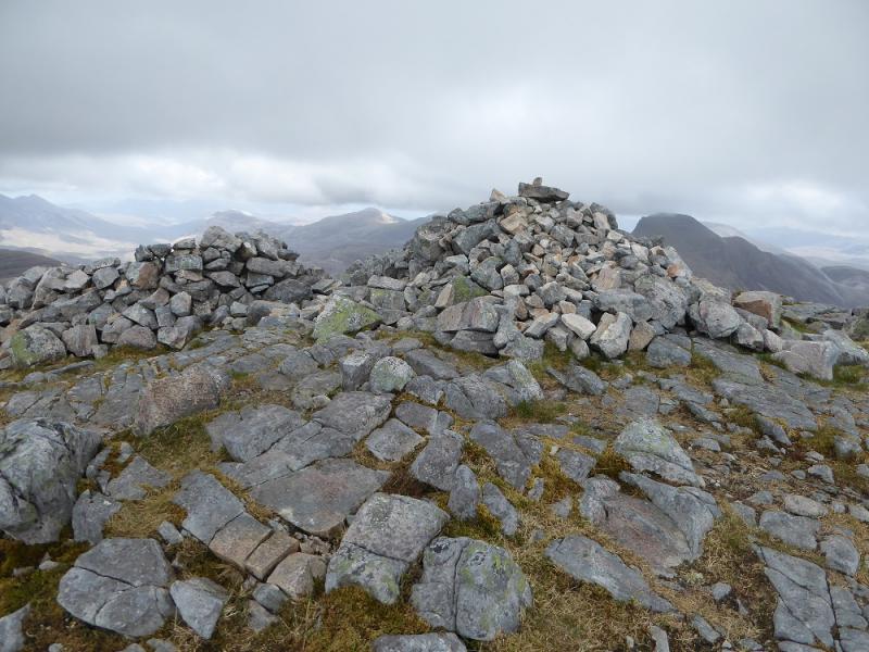
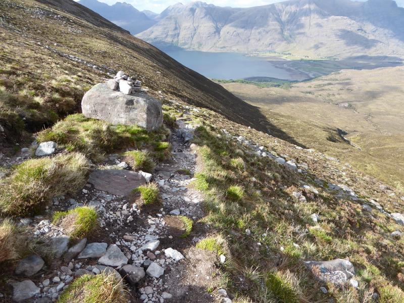
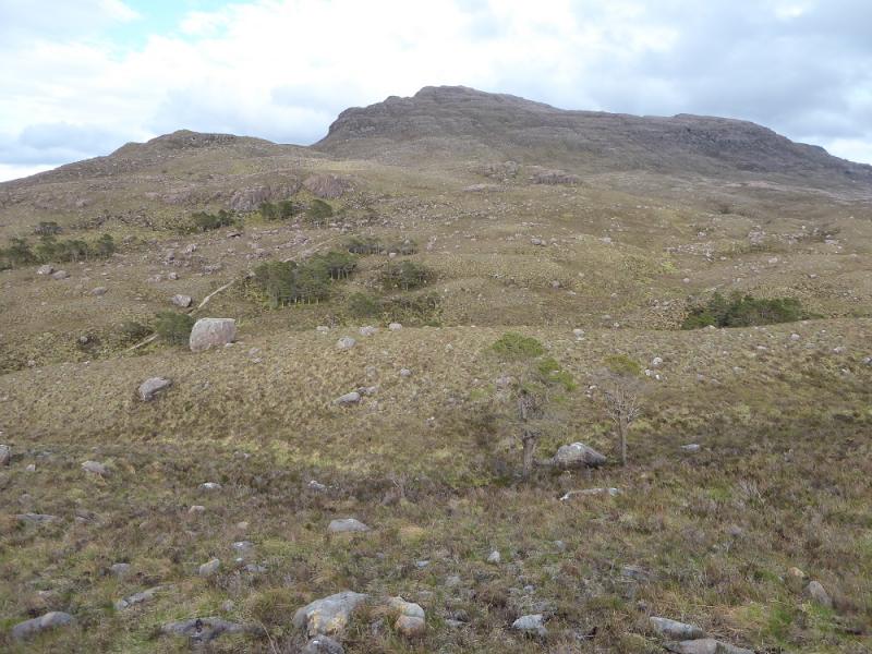
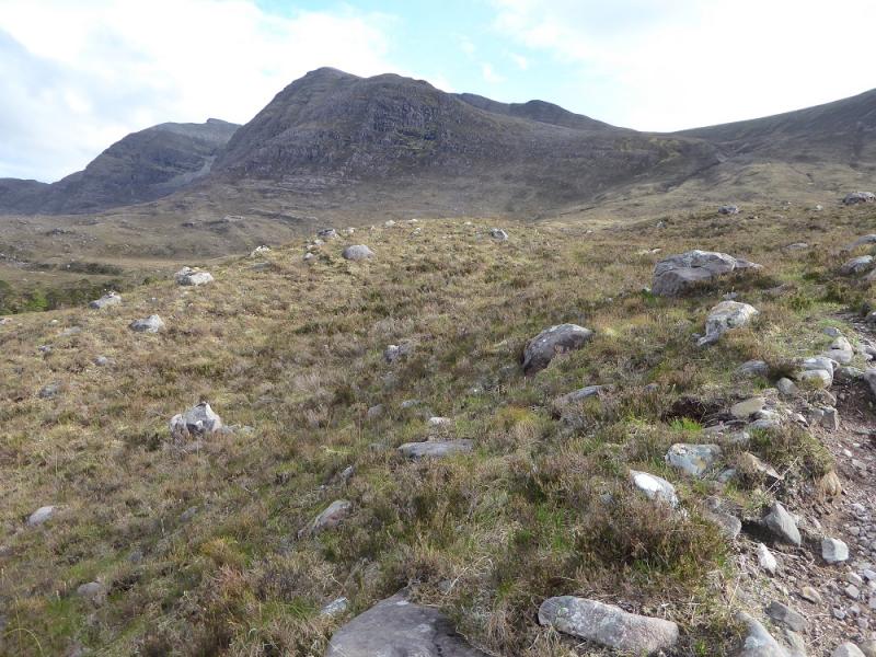
(1) From the car park, continue through on the left of the Inn until a bridge is reached. Cross this then fork left for the Beinn Damh path (signed). This climbs to the road, crosses over then continues through a wood. Soon after emerging the path splits. Take the left fork which soon reaches a river where a short detour upstream is needed to cross as there is no bridge but crossing is easy in a dry spell. Continue up the path but leave it after about 500 – 700 m and head for the reasonably well defined NNW ridge crossing pathless and wet ground. Follow the ridge up with any crags easily avoided. When the angle eases, reach a small cairn on a minor bump. Continue and reach a medium cairn which may be the summit of Beinn na h-Eaglaise, 736 m but there is another top about 100 m further, with a smaller, cairn which is of similar height so visit both to be sure!
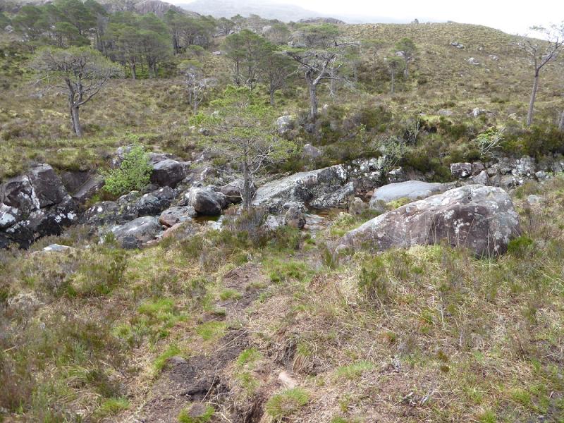
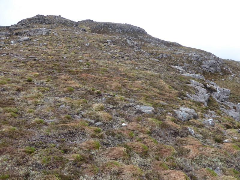
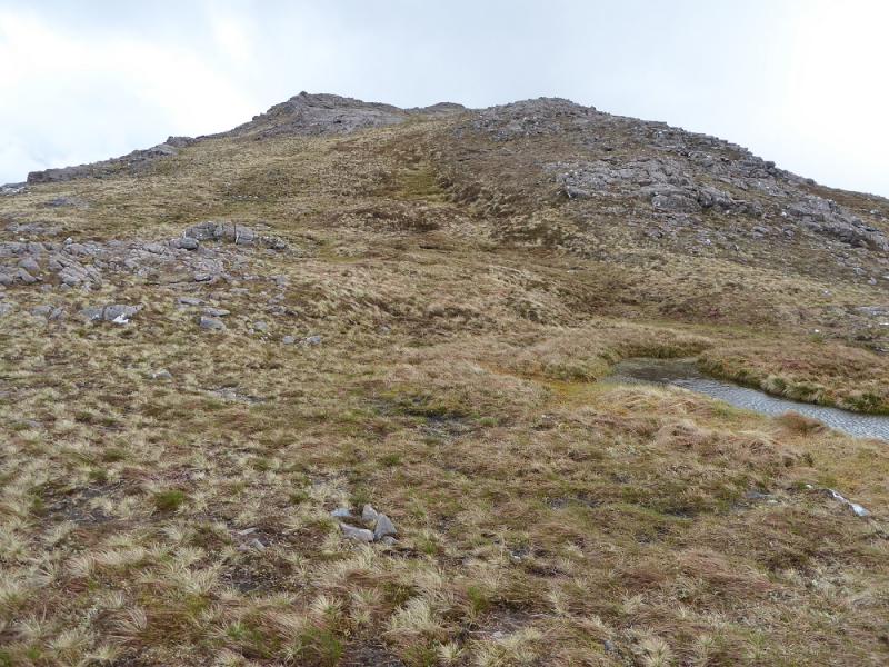
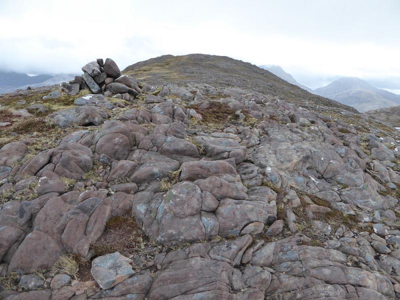
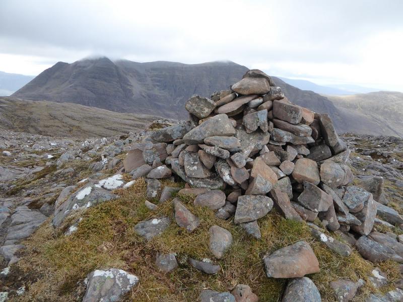
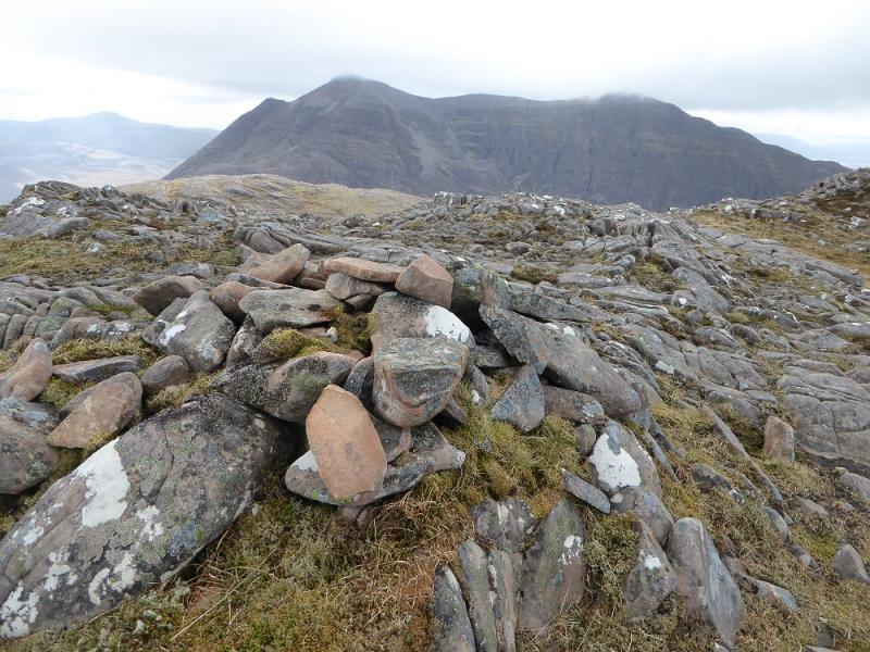
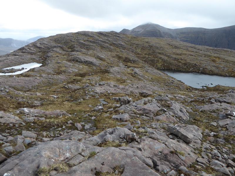
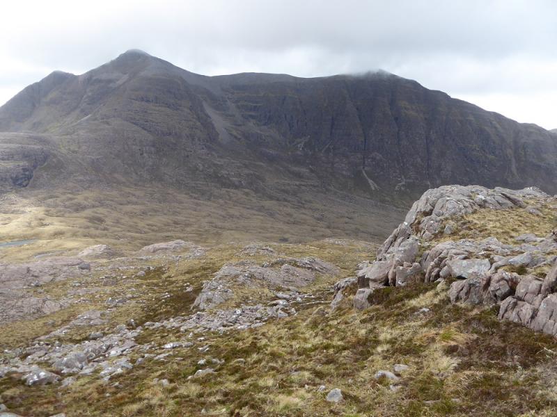
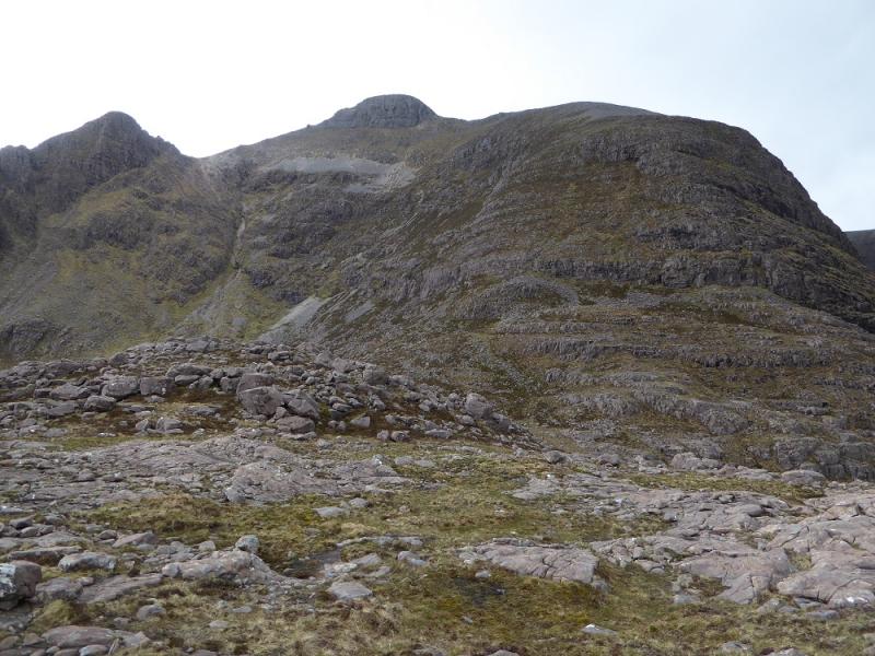
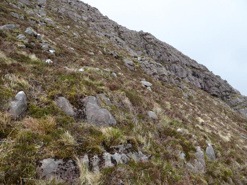
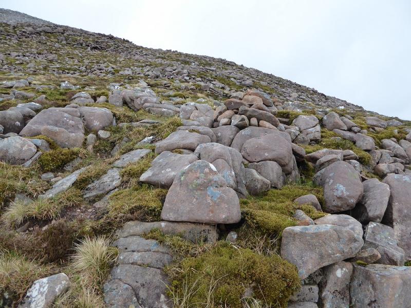
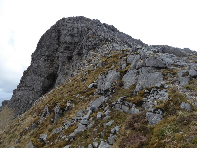
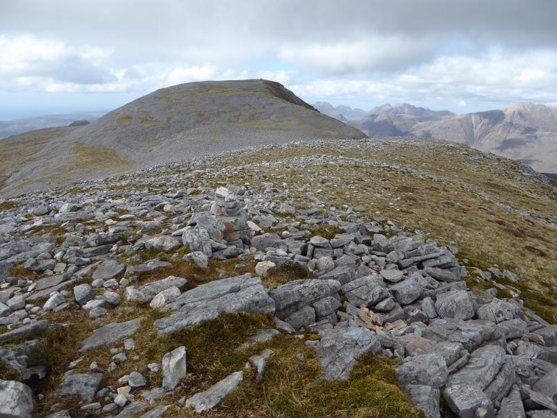
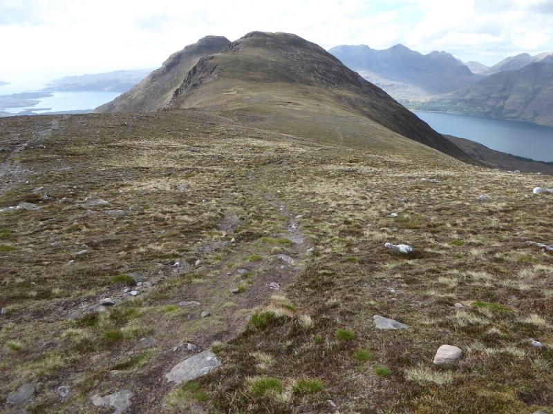
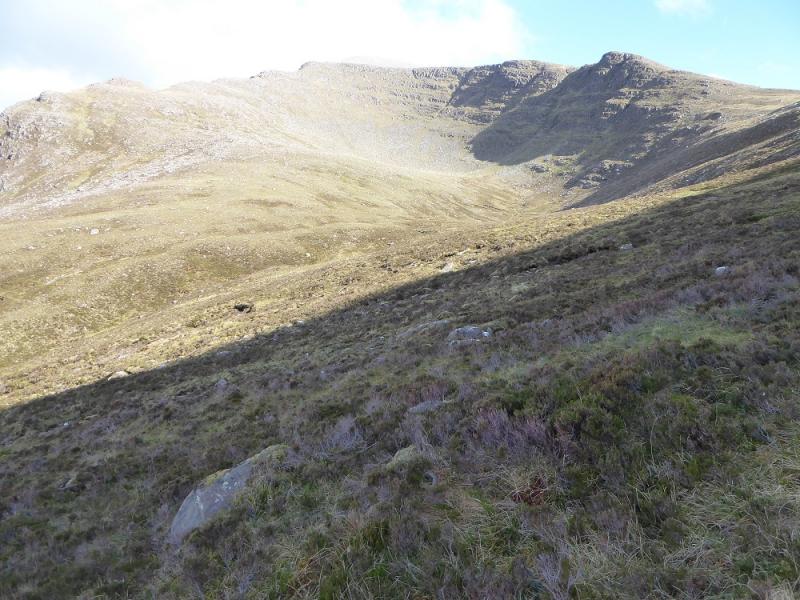
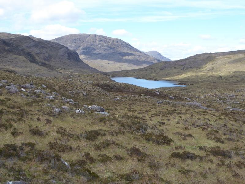
(2) The so called S Top lies about 600 m SSW across a dip containing many lochans. There is no need to ascend the S Top. Follow the line of lochans to the last one to the S then make a descending traverse across the S flank of the S Top to reach the col known as the Drochaid Coire Roill and meet the path left earlier. This side of Beinn Damh looks almost impossible to ascend but there is a way. Start ascending, roughly SW, up the ridge which looks very rocky and craggy. There is a path which you should soon find which will guide you around some of the awkward looking sections. Reach a flat section with the very steep and short NE ridge and its buttresses looming above. It may look impossible especially higher up but the path guides you up although the ground is quite steep. The path goes to the left of the main buttress and then goes right to reach a small cairn set back from the top of the buttress. This is where the ground becomes unpleasant. From the cairn to the top is a long boulder field but, eventually, you reach the large cairn which is the summit of Beinn Damh, 903 m.
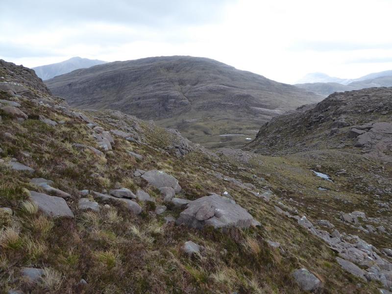
(3) The descent is a long one as the summit is almost at the southern end of a long ridge. Descend roughly W down another boulder field to reach the more grassy crest and follow this up to the N top which is not much lower than the summit; it is about 2 km between the tops. Continue the descent NW to reach a flat section. The descent path back to the Torridon Inn is not obvious but it descends off to the right from this flat section. Many go off right too soon and the path fades away so if you do, contour along to reach the more distinctive path which actually leaves the crest a little further to the N! Follow the rough, stony and unpleasnat path down to reach the path junction where you forked left earlier. Continue down through the wodd back to the start.
Notes
(a) This walk took place on 17th May, 2017, and about 15 years earlier.
(b) Those wishing to omit Beinn Damh could simply return down the path from the Drochaid Coire Roill.
(c) The SYHA at Torridon is very well placed and a lovely place to stay. It is a modern purpose built building which is very well managed. It's only fault is that it is extremely popular so, if planning to stay there, book well in advance!
Photos - Hover over photo for caption. Click on to enlarge. Click on again to reduce.