Get Lost Mountaineering
You are here: Scotland » 13 Applecross, Coulin and Torridon » Loch Torridon to Loch Maree
An Ruadh-mheallan from Bealach na Gaoithe on Torridon to Diabaig road
An Ruadh-mheallan from Bealach na Gaoithe on Torridon to Diabaig road
Start/Finish
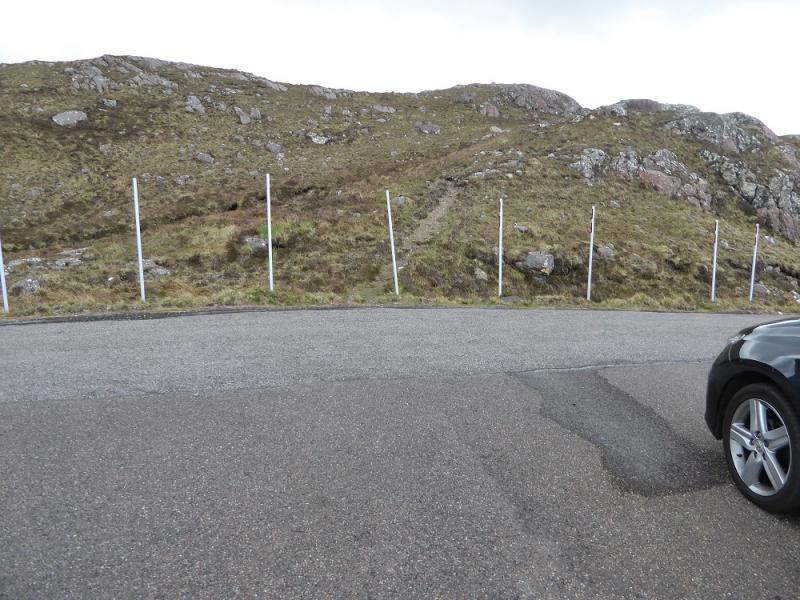
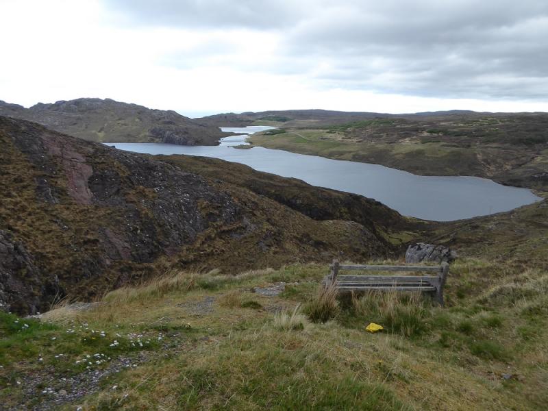
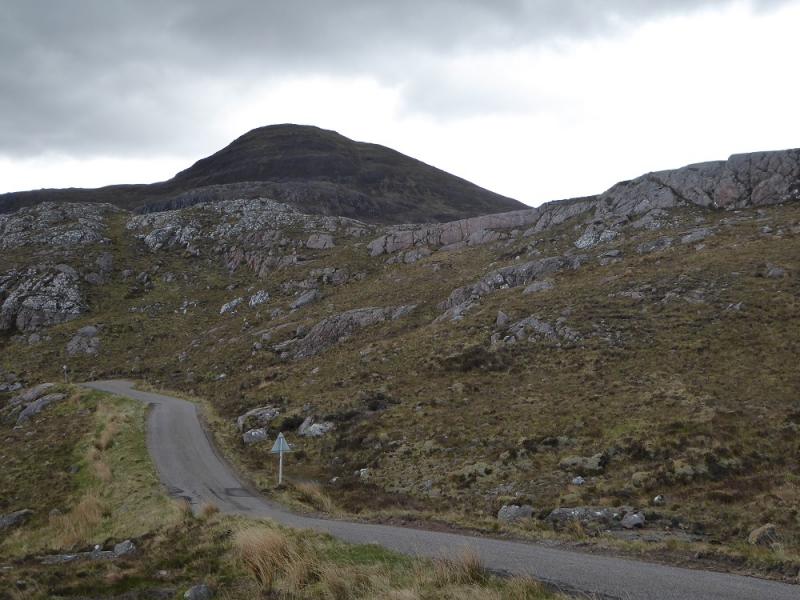
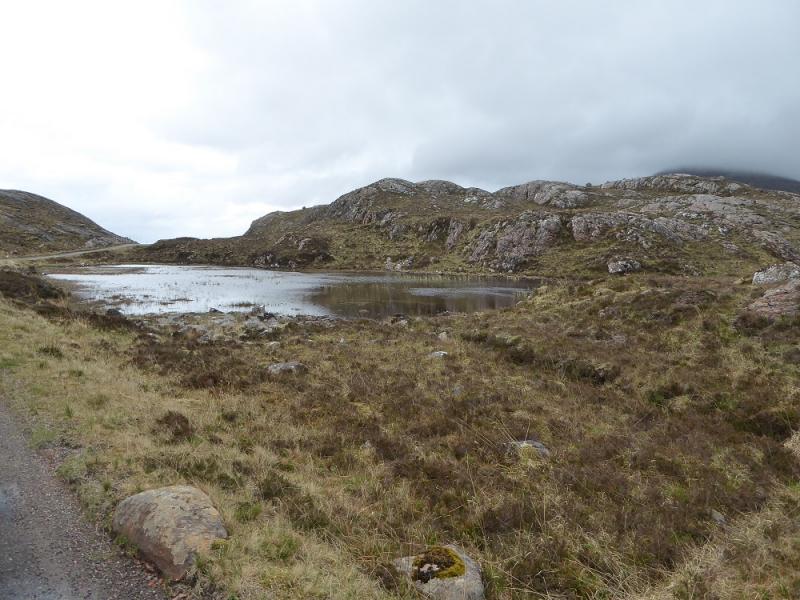
Small parking bay on left, W, of the Bealach na Gaoithe which is the highest point on the Torridon to Diabaig road. Go past Torridon village and the turning for Inveralligin. Just after the next turning, the road climbs more steeply. Pass a lochan on the right, some poles on the left. The parking bay is on the next brow opposite some poles on the right. There is space for two cars if parked at right angles to the road. To confirm you are in the right place, there is a bench over the back lip of the parking space which is hidden from view until you get out of your car and look!
Distance/Time
8 km. About 3 – 4 hours.
Peaks
An Ruadh-mheallan, 672 m, NG 836 615. OS sheet 24.
Introduction
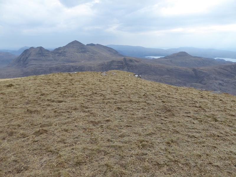
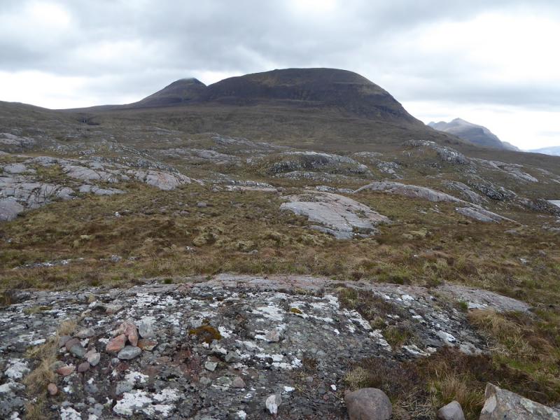
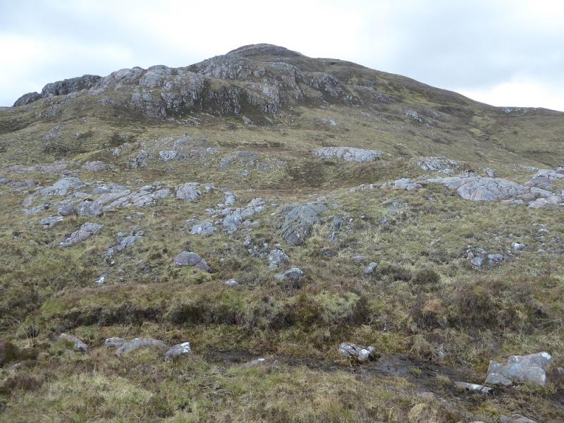
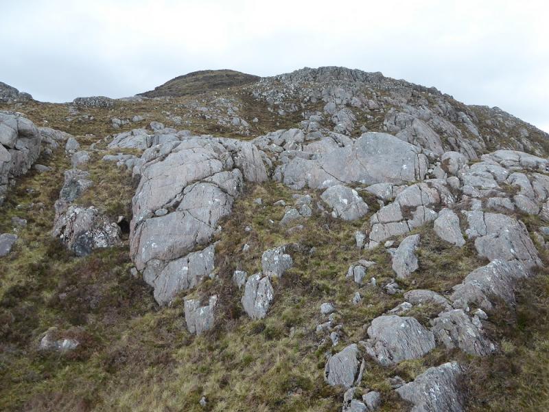
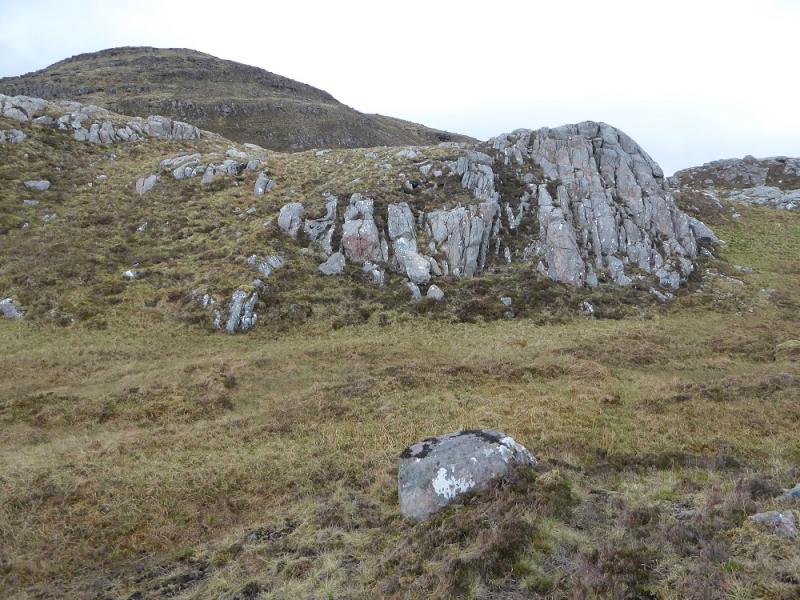
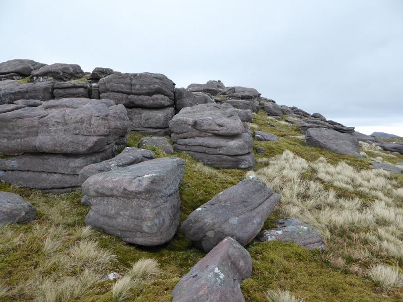
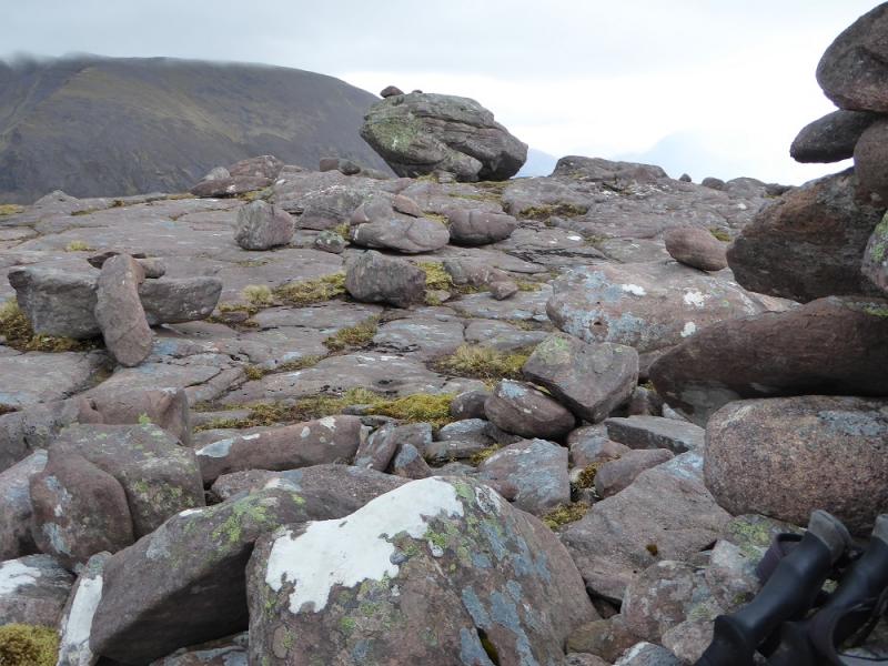
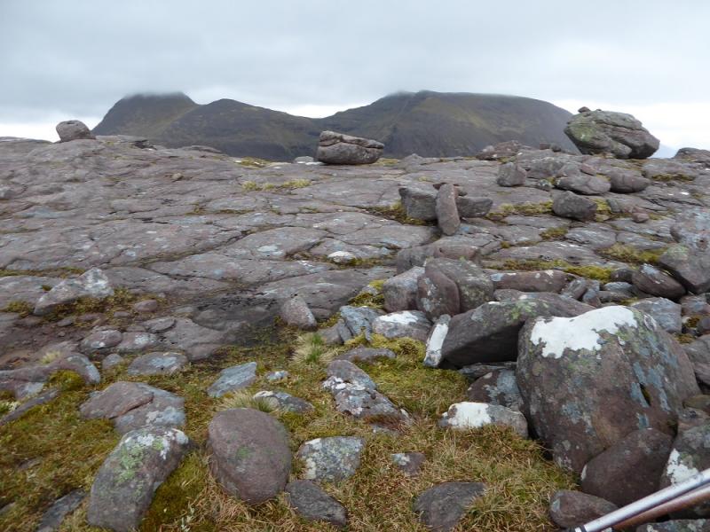
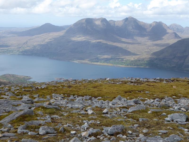
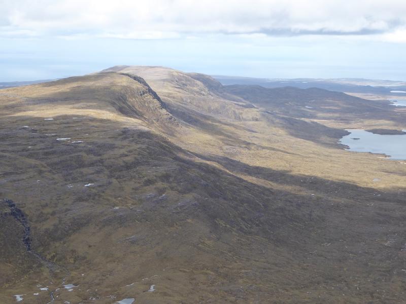
An Ruadh-mheallan is very much in the shadow of Beinn Alligin but is quite an attractive hill in its own right and offers good views to the “back” of Beinn Alligin and to Baosbheinn to the north as well as Beinn Damh across Upper Loch Torridon to the south. Many will climb An Ruadh-mheallan when its higher neighbours are in cloud but it is well keeping it for a fine day to enjoy the views. The ground between the road and the summit is quite complex and would be difficult to navigate in mist but is fairly straightforward in clear weather. Higher parts of this mountain look well defended by cliffs but these are easily avoided. A very faint path can be followed from the start to the summit but it can be even more difficult to follow in descent. Those with GPS may wish to log way points then follow them back from the summit.
Route
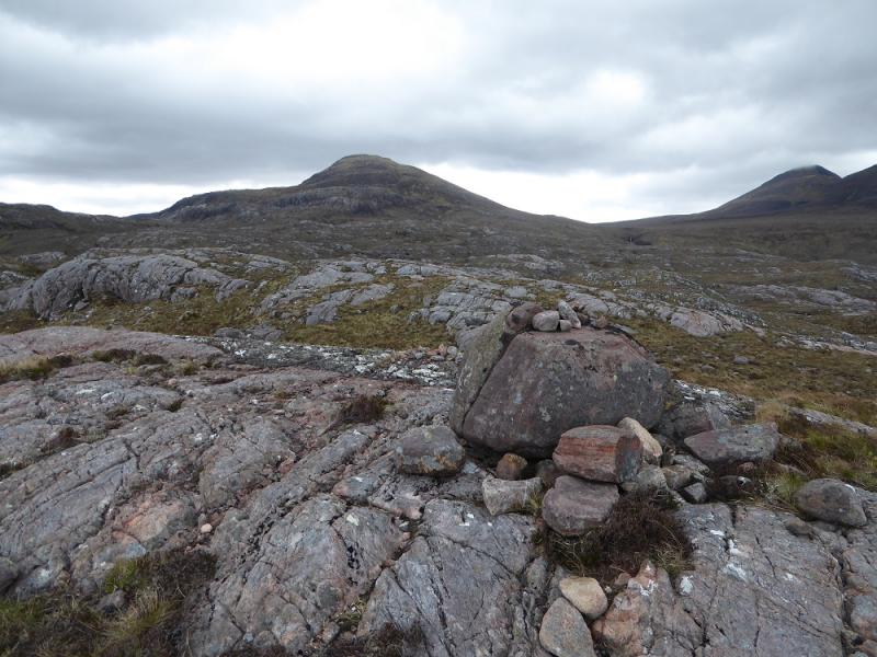
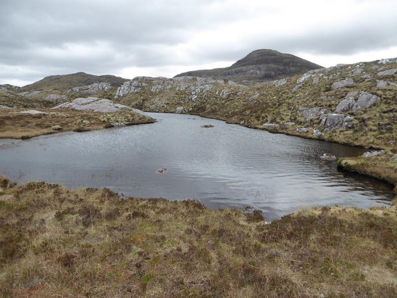
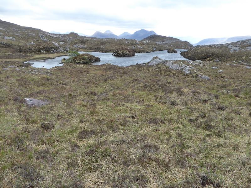
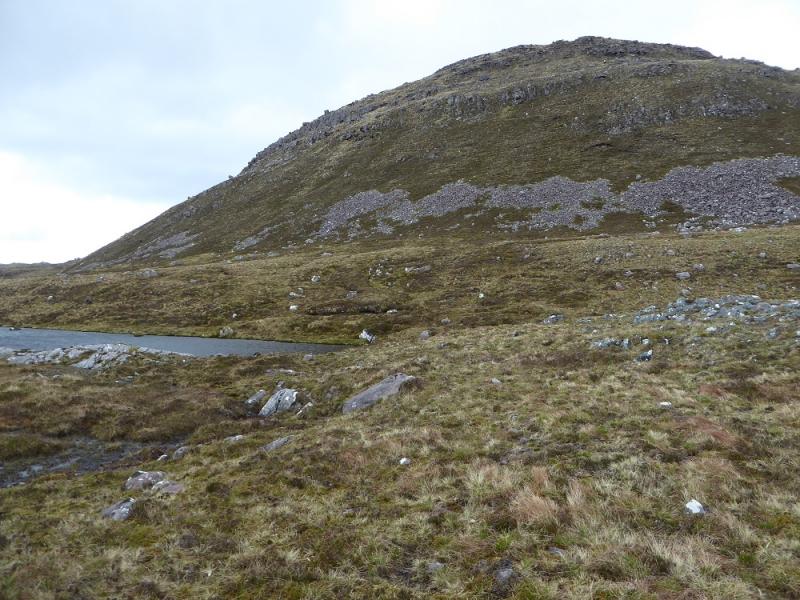
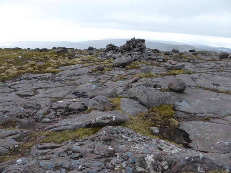
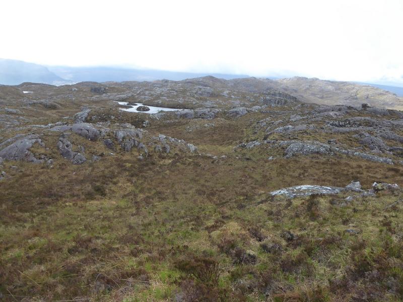
(1) Take the gravel path slanting up right opposite the parking space. Follow this a little way up to a slabby area where it cuts backs as a very faint path which can just about be followed much of the way to the summit. It passes a lochan which is narrow in the middle then passes Loch nan Trieileanan which has three islands hence its name. Continue up, weaving around to minimise any unnecessary height gaining. There is plenty of rock and small crags which are easily avoided. If you have managed to follow the path, you will pass Loch Airigh Eachainn to its E. There is a grassy corridor over to the right which leads up to the summit plateau where a medium cairn marks the summit of An Ruadh-mheallan, 672 m. There are a few stones on a boulder to the E which may be slightly higher.
(2) Retrace the outward route. In clear weather, Loch nan Trieileanan is a distinctive landmark to aim for if you lose the path. From its S end, walk WSW back to the road. A radio mast may also be spotted which can be aimed for but, curiously, it cannot be seen from the road or as you get closer!
Notes
(a) This walk took place on 16th May, 2017, and about 15 years earlier.
(b) If the weather turns bad and you don't fancy the tricky navigation back in mist then the simplest return seems to be descend SE from the summit plateau to reach the distinctive burn descending An Reidh-choire. Follow the stream down until it meets another stream just above the road. Follow the other stream up to the road then walk up the road to the start.
(c) The SYHA at Torridon is very well placed and a lovely place to stay. It is a modern purpose built building which is very well managed. It's only fault is that it is extremely popular so, if planning to stay there, book well in advance!
Photos - Hover over photo for caption. Click on to enlarge. Click on again to reduce.