Get Lost Mountaineering
You are here: Scotland » 13 Applecross, Coulin and Torridon » Loch Torridon to Loch Maree
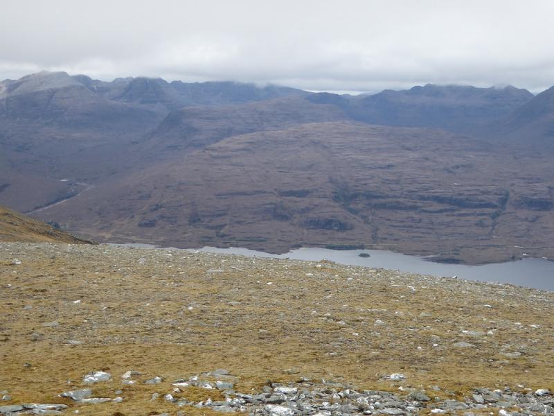
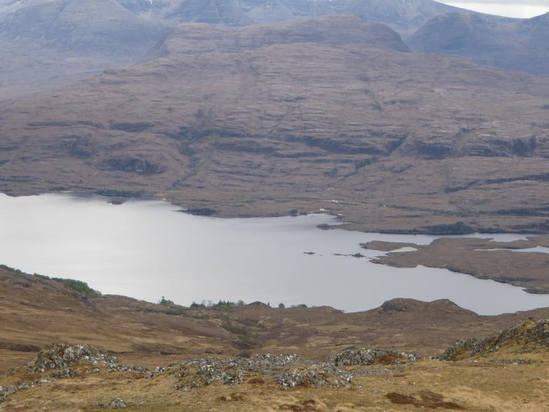
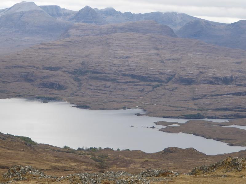
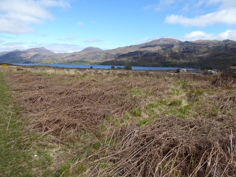
Beinn a' Chearcaill from Bridge of Grudie, Loch Maree
Beinn a' Chearcaill from Bridge of Grudie, Loch Maree
Start/Finish
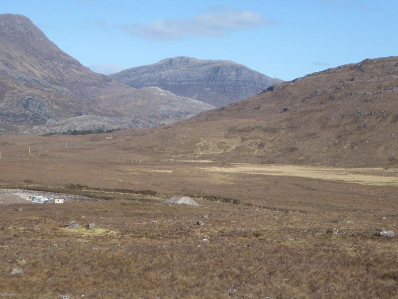
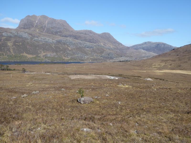
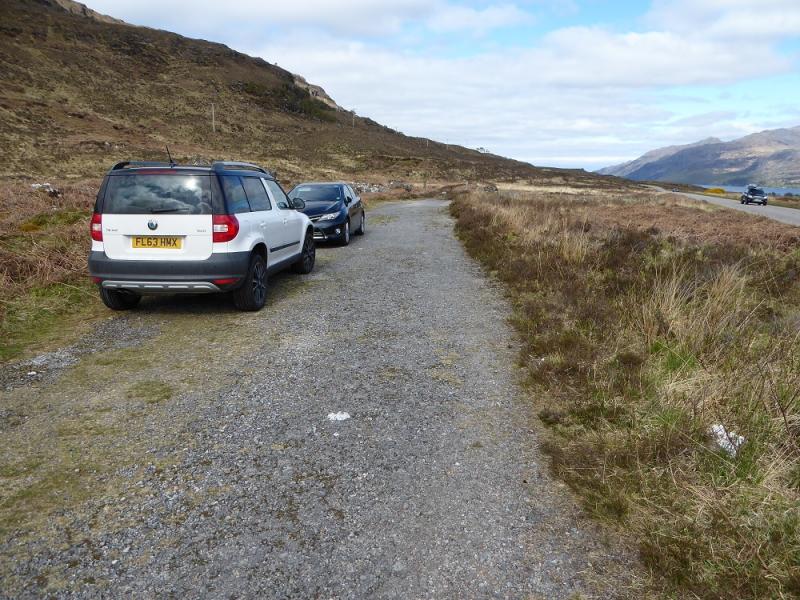
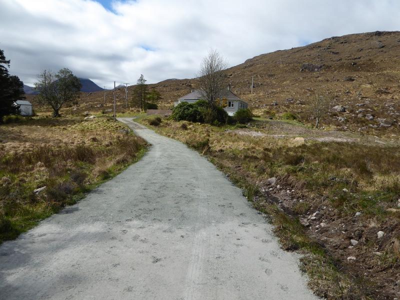
Bridge of Grudie, by Loch Maree, on the Kinlochewe to Gairloch A832 road. Bridge of Grudie is about 4 miles from Kinlochewe and about 4 miles from the prominent Loch Maree Hotel. Parking is available on the old road a little to the NW of the bridge. On 7/5/17, there were roadworks on and around the bridge but these did not affect access. The bridge itself is not obvious nor are there any signs saying Bridge of Grudie!
Distance/Time
14 km. About 6 hours.
Peaks
Beinn a' Chearcaill, 725 m, NG 931 637. OS sheet 19: Gairloch & Ullapool
Introduction
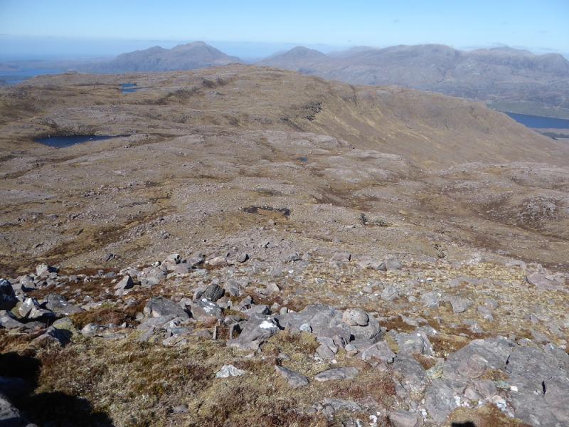
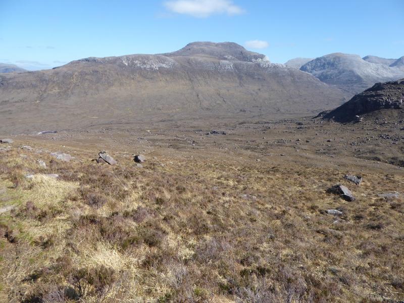
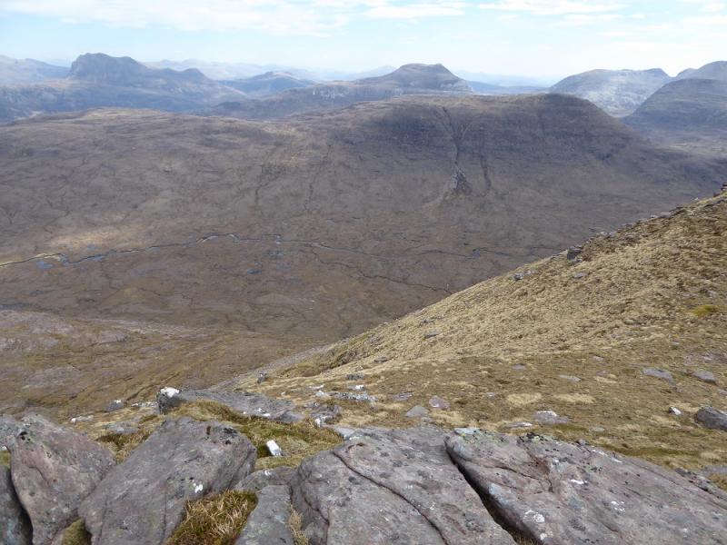
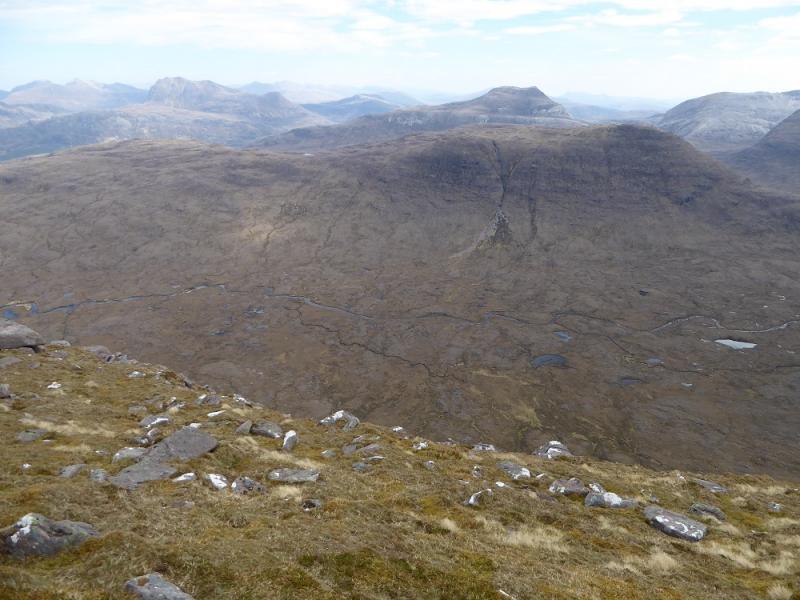
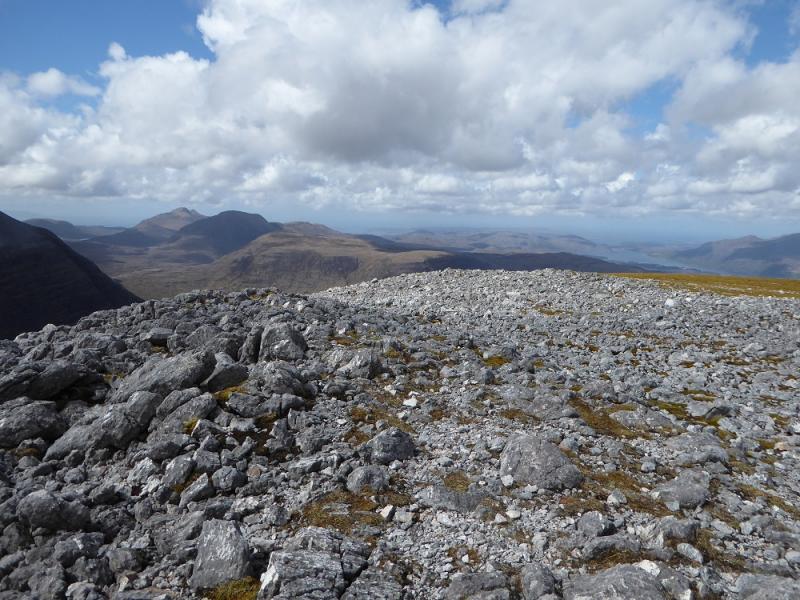
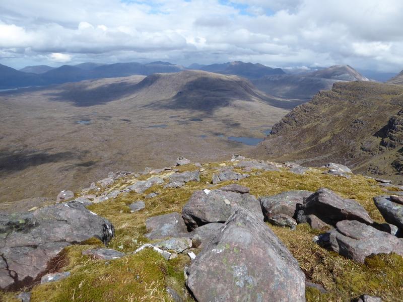
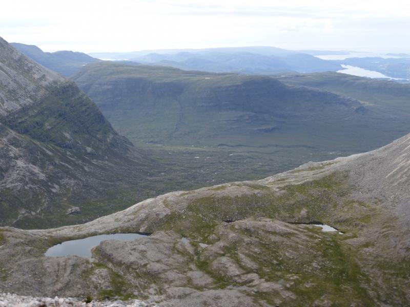
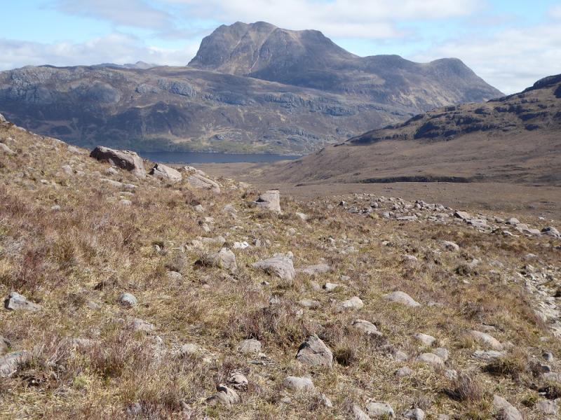
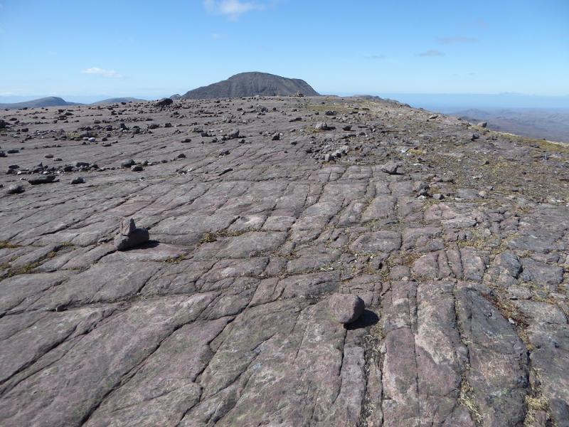
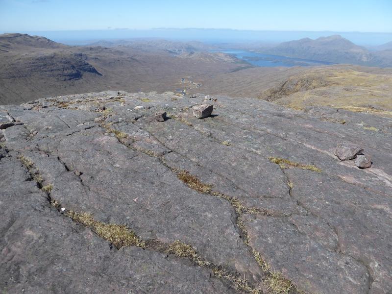
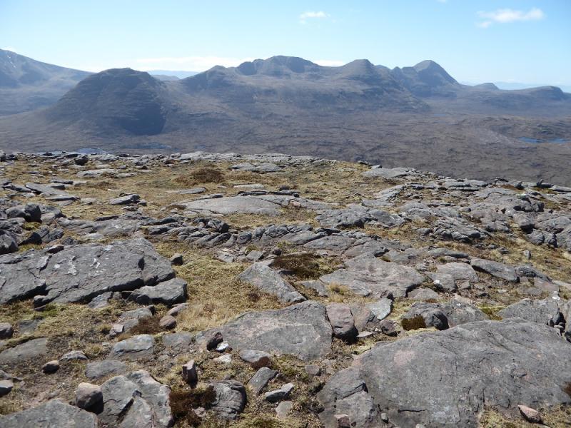
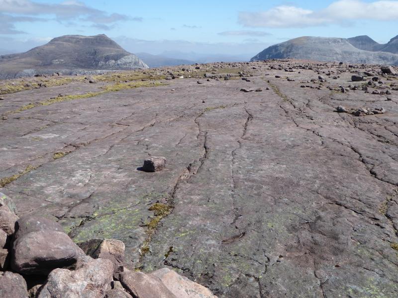
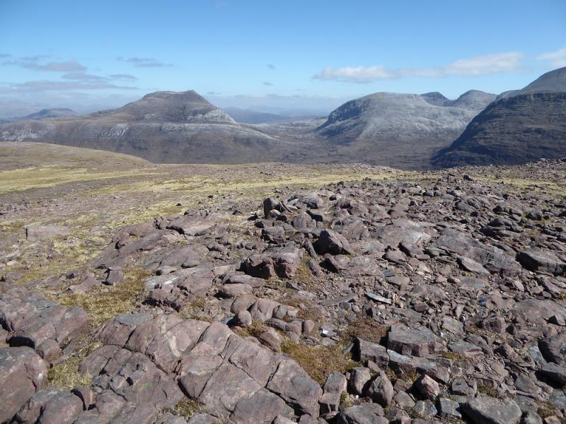
This lovely “little” mountain set amongst giants gives a much shorter day than surrounding hills but still offers excellent views which include Beinn Eighe, Liathach, Beinn Dearg, Beinn Alligin, Ruadh-stac Beag, Meall a' Ghiubhais and Beinn an Eoin. Across Loch Maree are Beinn Airigh Charr, Beinn Lair, a striking view of Slioch plus other hills in Fisherfield. Many will climb this hill when higher ones are in mist but that would be a shame as the views would be missed. The summit of Beinn a' Chearcaill is fairly unique being a huge horizontal slab about the size of a football pitch!
Route
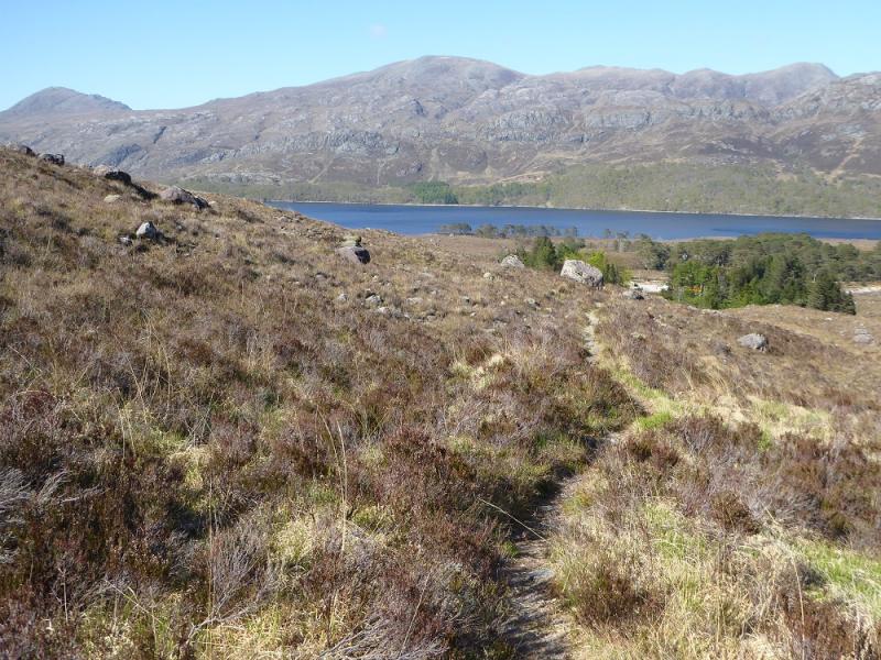
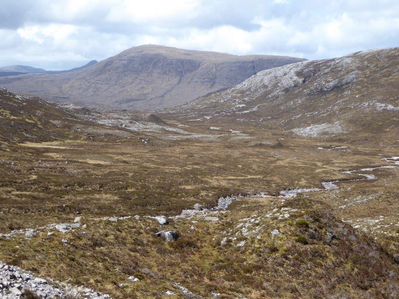
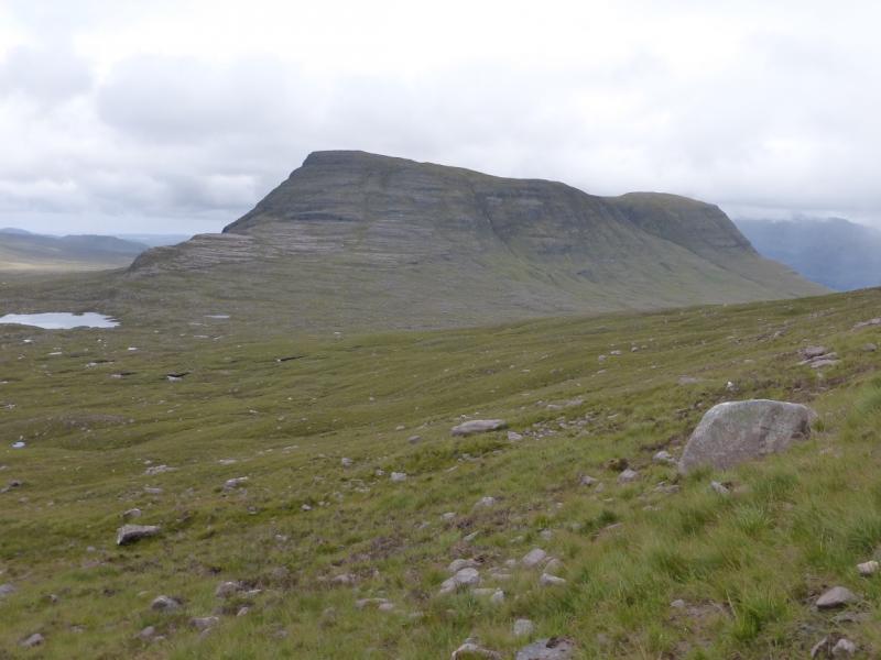
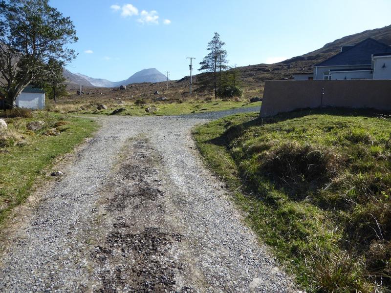
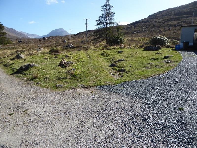
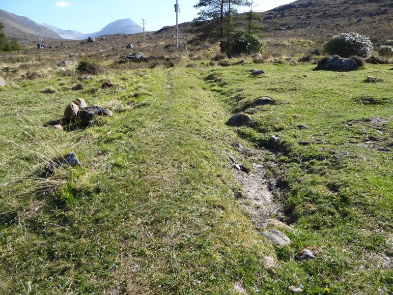
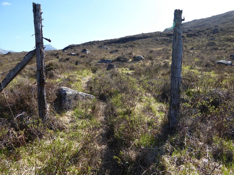
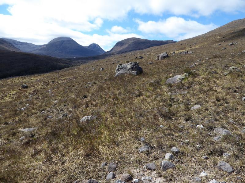
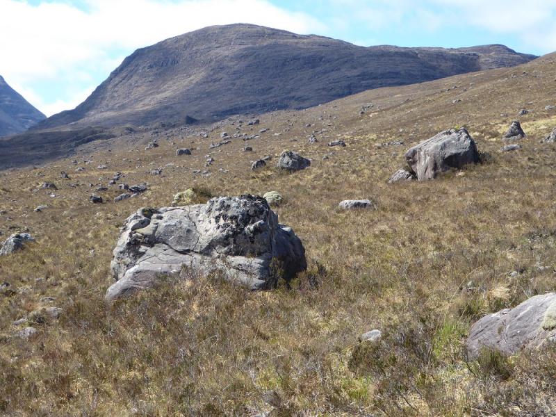
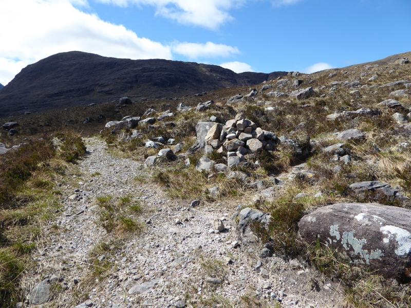
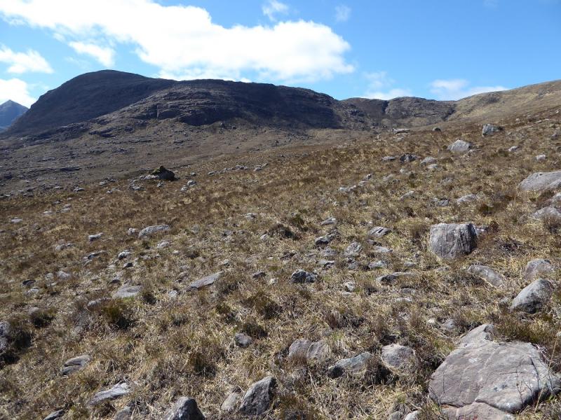
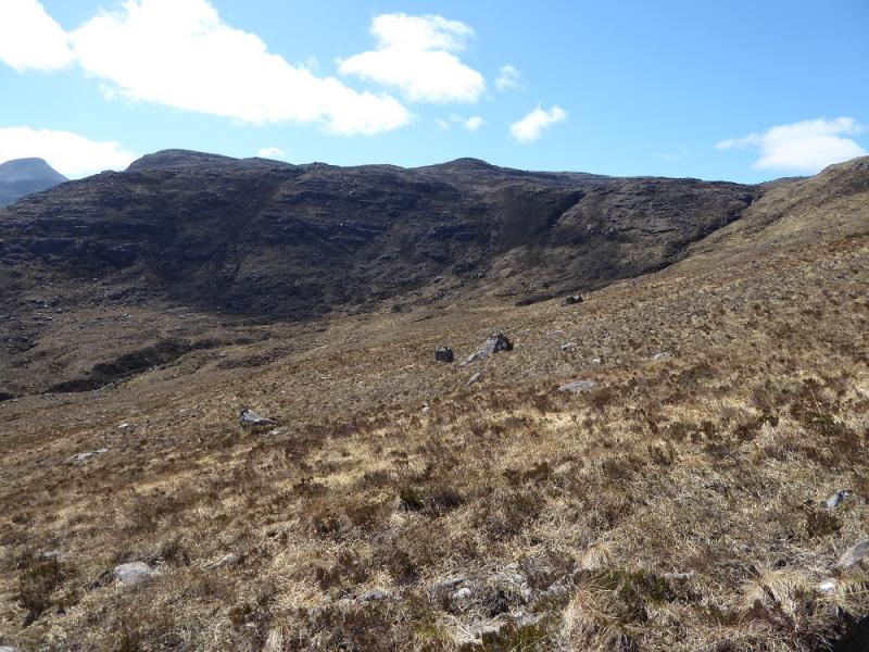
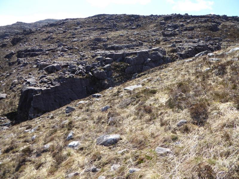
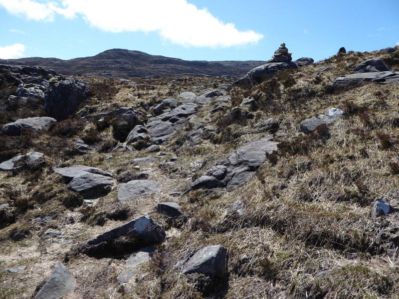
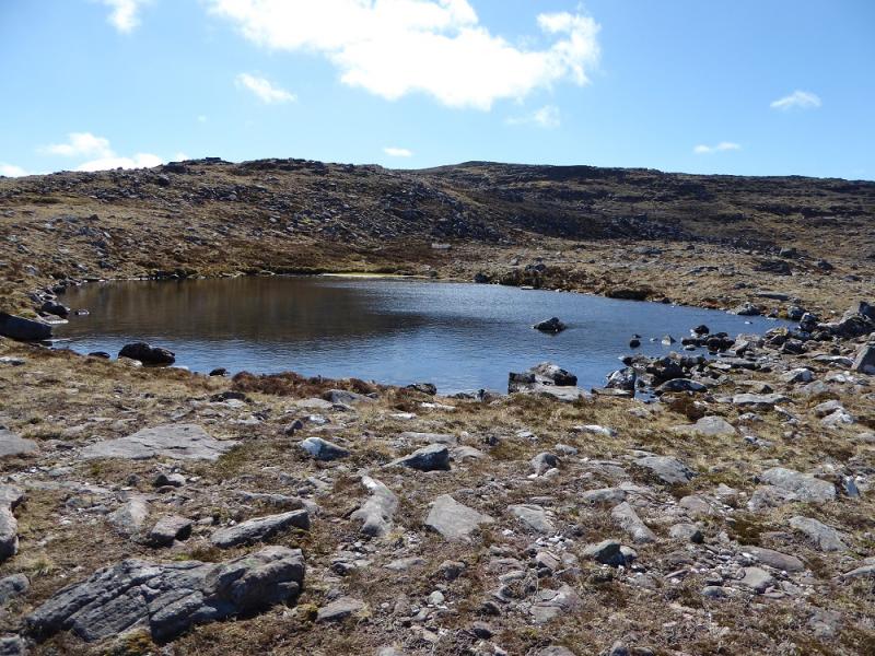
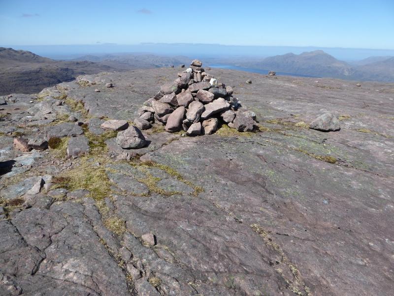
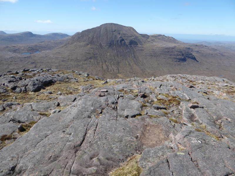
(1) From the main road, walk up the track to the white/grey bungalow wher ethe stalkers path starts. Many miss it so read these instructions carefully! At the bungalow, the track goes left towards another building. Don't take this track! Instead go straight ahead between the bungalow and where the track turns left. The path is faint on grass but is on the left of a shallow groove. Further on it passes between two old wooden gate posts then becomes a much more obvious typical stalkers path. Follow the path for just over 2 km to a small cairn where another path (not on maps) goes right into the grassy Coire Briste. Follow this path all the way round the corrie until it climbs out near an obvious stream. The path effectively peters out near a cairn soon after. From here, walk for about 2 km,, roughly S, up gentle slopes of grass and outcrop to reach the summit plateau which is a huge horizontal slab with rocks scattered all across it. The small cairn, at the the western end, seems to mark the summit of Beinn a' Chearcaill, 725 m but there may be a slightly higher point nearby. To the S and SSE is the huge mass of Beinn Eighe. The pointed peak to the S (perhaps seen strikingly during the ascent) is Sail Mhor with Ruadh-stac Mor (Beinn Eighe summit) just to its E. In between is the famous Triple Buttress.
(2) Return by the same route although one can vary the route by going ENE to a top or even going further N than the Coire Briste path to A' Choineach Beag.
Notes
(a) This walk took place on 7th May, 2017, and about 15 years earlier.
(b) A hydro scheme is being constructed in Glen Grudie which means there is now a substantial track up the glen. Do not use this track instead of the stalkers path as it will be a steep climb, over rough terrain, to join the path further on!
(c) The SYHA at Torridon is very well placed and a lovely place to stay. It is a modern purpose built building which is very well managed. It's only fault is that it is extremely popular so, if planning to stay there, book well in advance!
Photos - Hover over photo for caption. Click on to enlarge. Click on again to reduce.
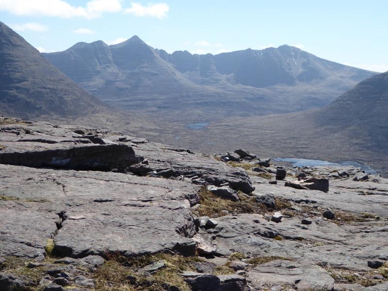
 & Sail Mhor from Beinn a' Chearcaill.JPG)
 & Sail Mhor from Beinn a' Chearcaill.JPG)