Get Lost Mountaineering
You are here: Scotland » 00 Galloway and the Borders » Manor & Moffat Hills
Birkscairn Hill, Dun Rig, Glenrath Heights & Stob Law from the north
Birkscairn Hill, Dun Rig, Glenrath Heights & Stob Law
from the north
Start/Finish
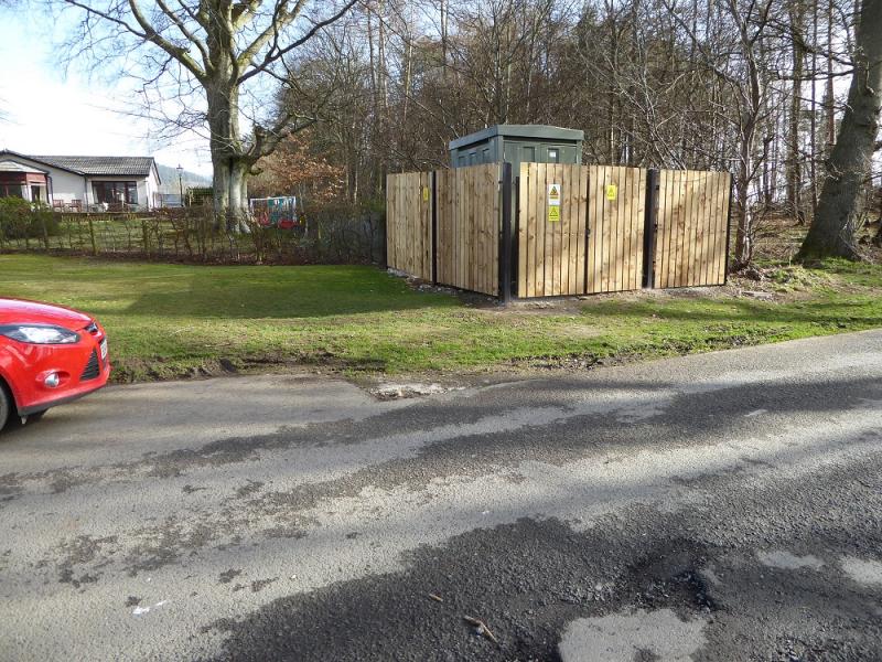
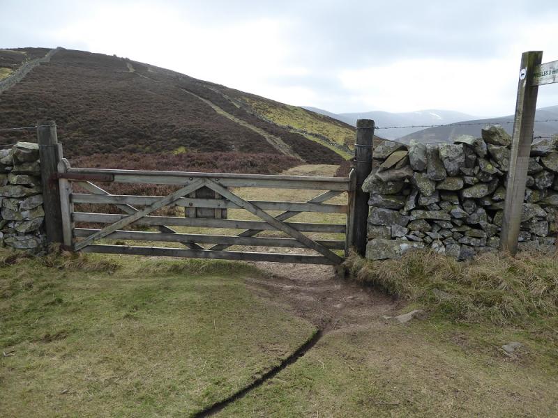
Lay by parking, just beofre a small sub-station, at end of Glen road which is a continuation of Springhill Road. This is reached by crossing the major bridge over the River Tweed near the centre of Peebles, turning left after the bridge then immediately forking right before reaching the Kingsmeadows car park. There are toilets in this car park.
Distance/Time
24 km. About 7 - 8 hours.
Peaks
Birkscairn Hill, 661 m, NT 274 331.
Dun Rig, 744 m, NT 253 316.
Glenrath Heights/Middle Hill, 732 m, NT 241 322.
Stob Law, 676 m, NT 230 332. OS Explorer sheet 337: Peebles & Innerleithen.
Introduction
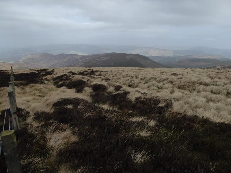
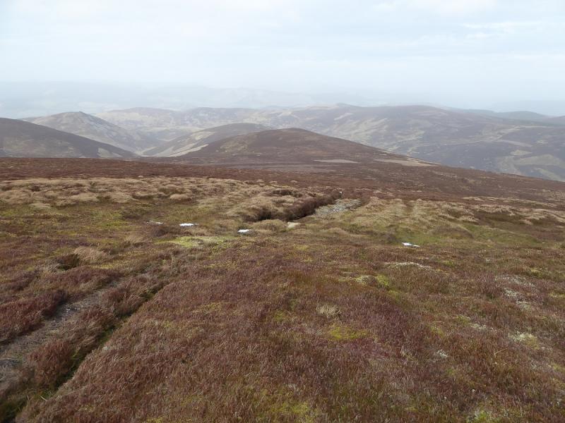
This is a high moorland walk with good views in all directions. There are paths/tracks most of the way and, unusually for the Southern Uplands, every summit is marked, just! Unfortunately, there is some backtracking and a few boggy sections.
Route
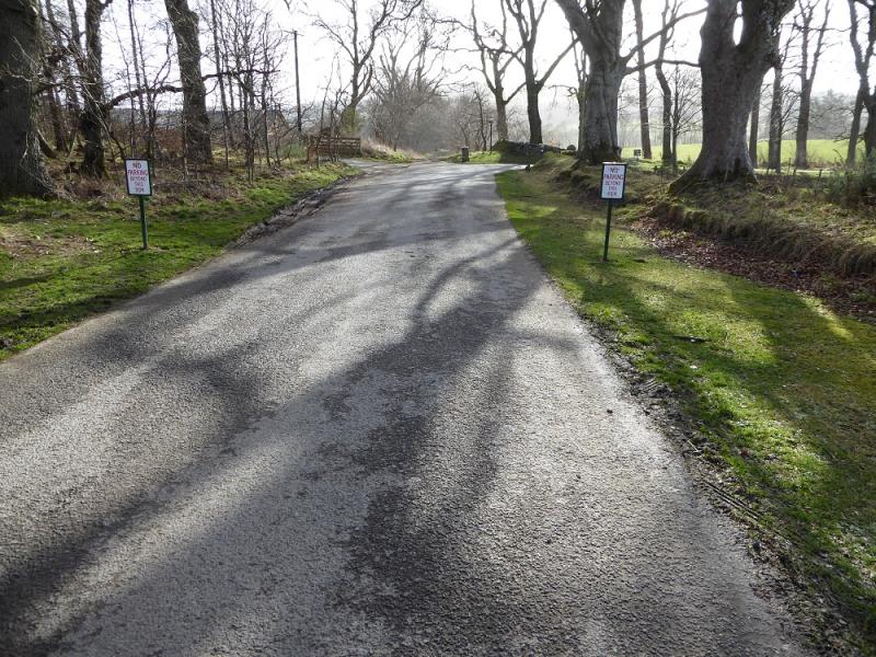
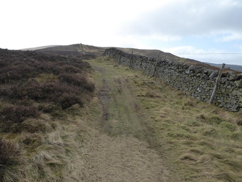
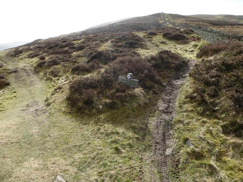
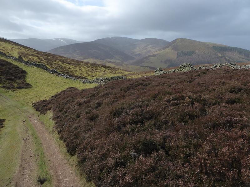
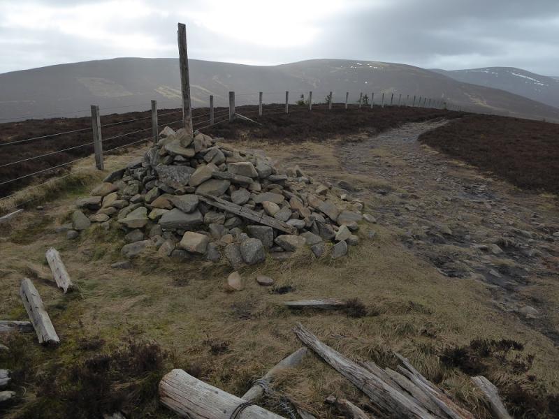
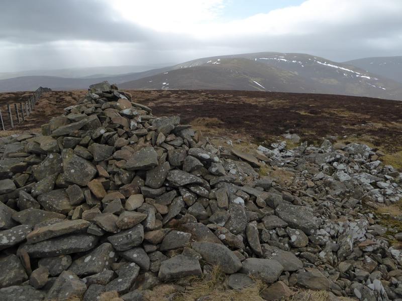
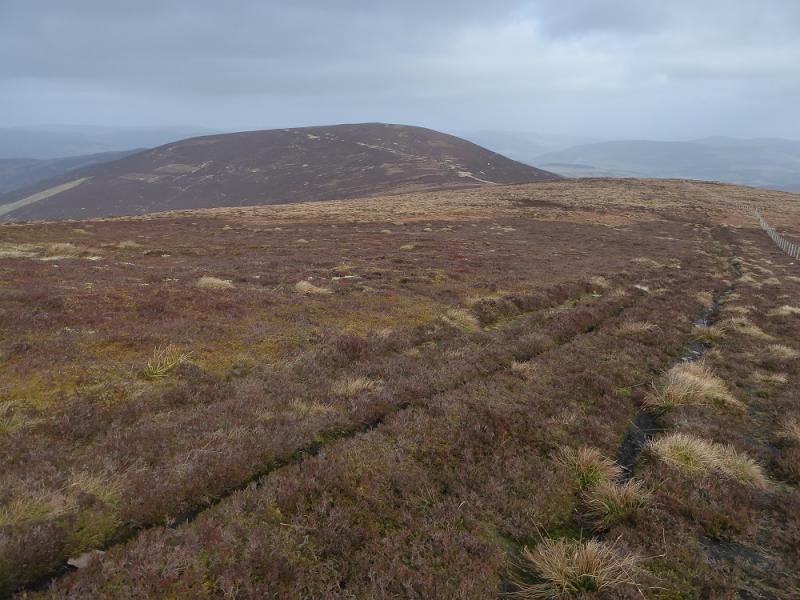
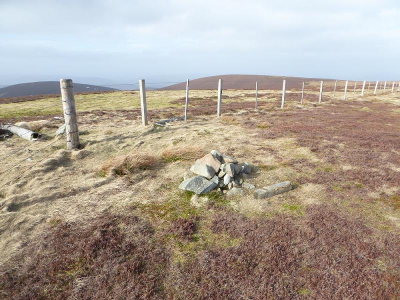
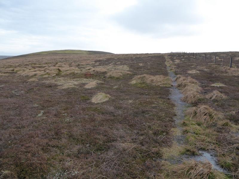
(1) Continue ahead from the lay by and follow the track, boggy in places. Soon cross a river then continue ascending, past a wood, to the foot of Craig Head where the track bypasses to the left or a path goes over the top. Both meet up further on at a gate. Continue towards Kalzie Hill then walk alongside a large plantation to reach the summit of Kirkhope Law where there is a medium cairn. Continue, following a fence, descending slightly then make a longish ascent up to a large cairn which is the summit of Birkscairn Hill, 661 m.
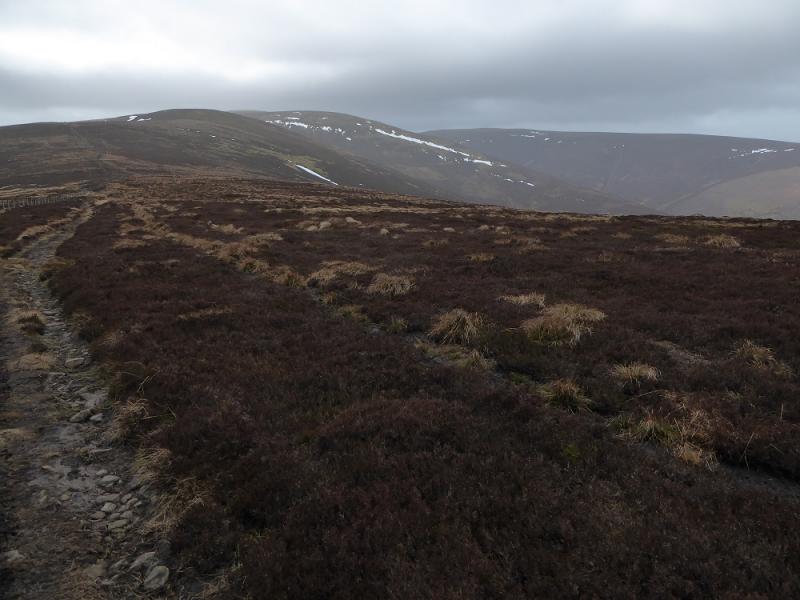
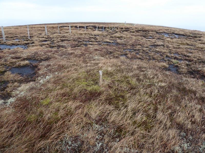
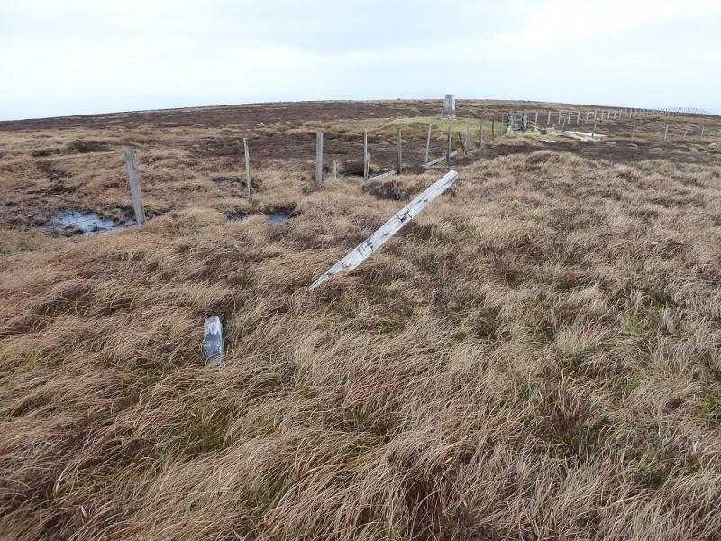
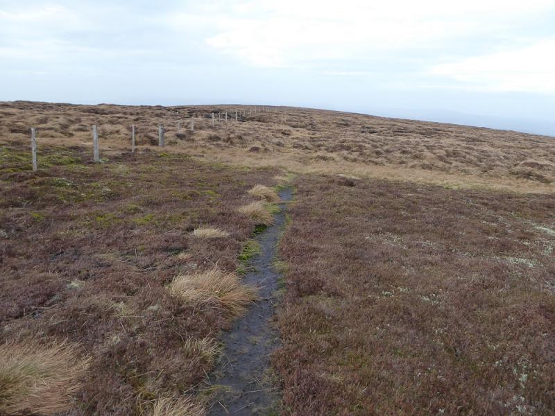
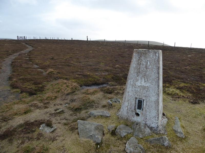
(2) Continue following the fence, SW, and passing two signs where the old drove road descends to the E. A path, quite boggy in places, leads up to Stake Law where there is a small cairn on the E side of the fence. The next section can be quite boggy with no obvious path in places but the fence leads up to the trig point on Dun Rig. The OS has the highest point, 2 m higher, a short distance to the SW. This is not marked by a cairn and is not obvious at all. On 13/3/17, there were two separate possibilities each marked by a stake and one of these is the summit of Dun Rig, 744 m.
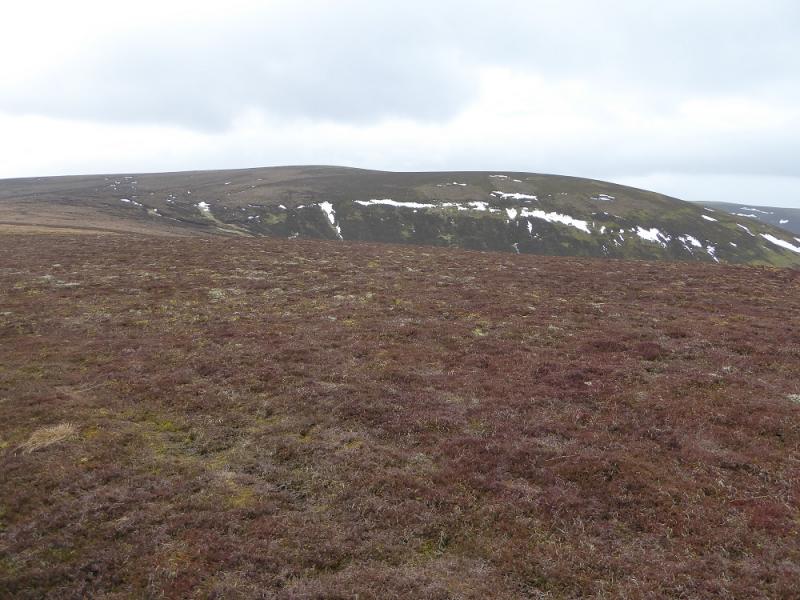
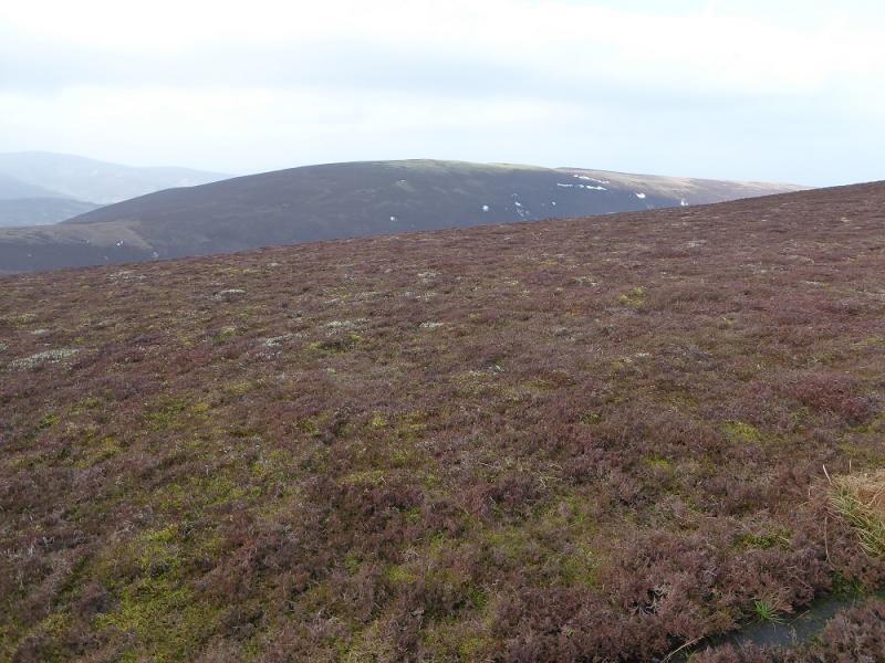
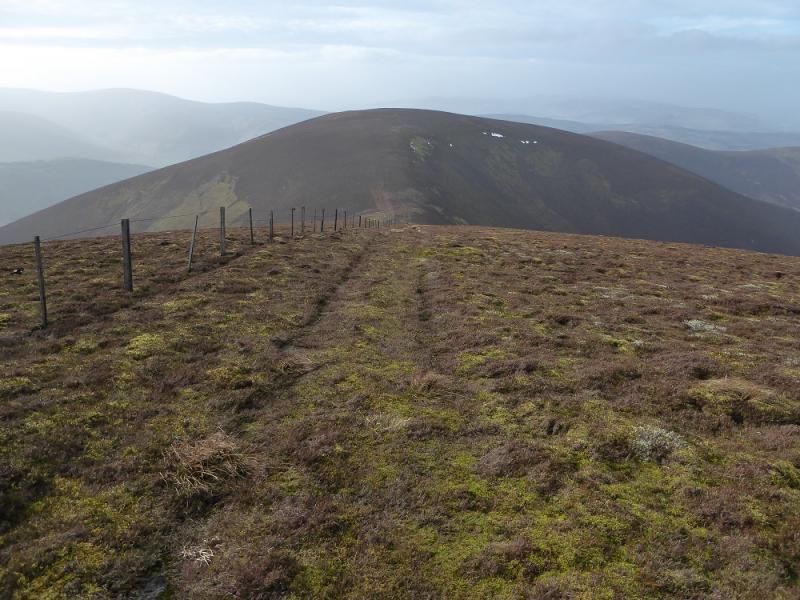
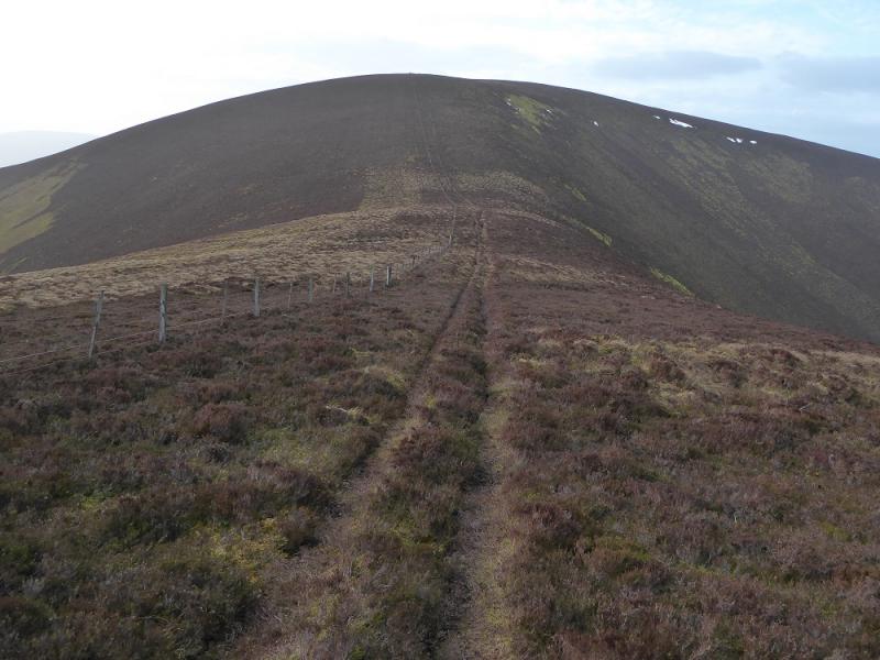
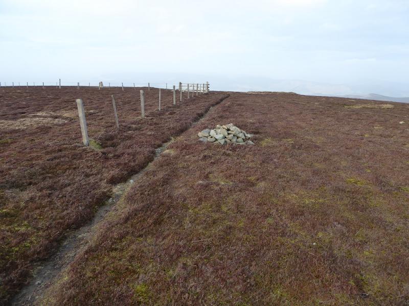
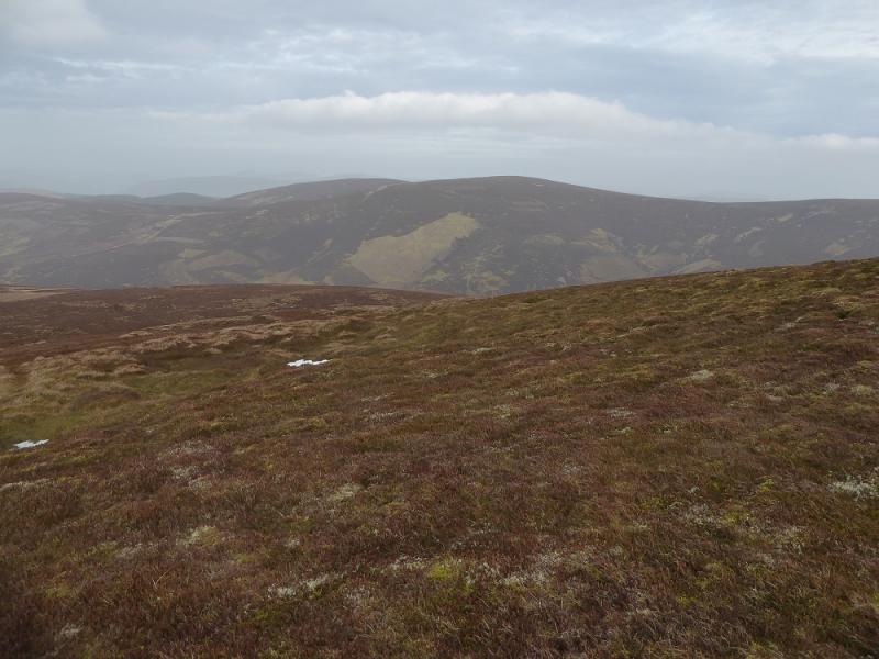
(3) The fence can be followed, roughly SW, along the broad and peaty/boggy ridge. Another fence, not shown on the 2002 map, curves around to the col below Glenrath Heights where a better path ascends up to reach a fairly level crest where there is a small cairn by a fence corner. This is Glenrath Heights/Middle Hill, 732 m.
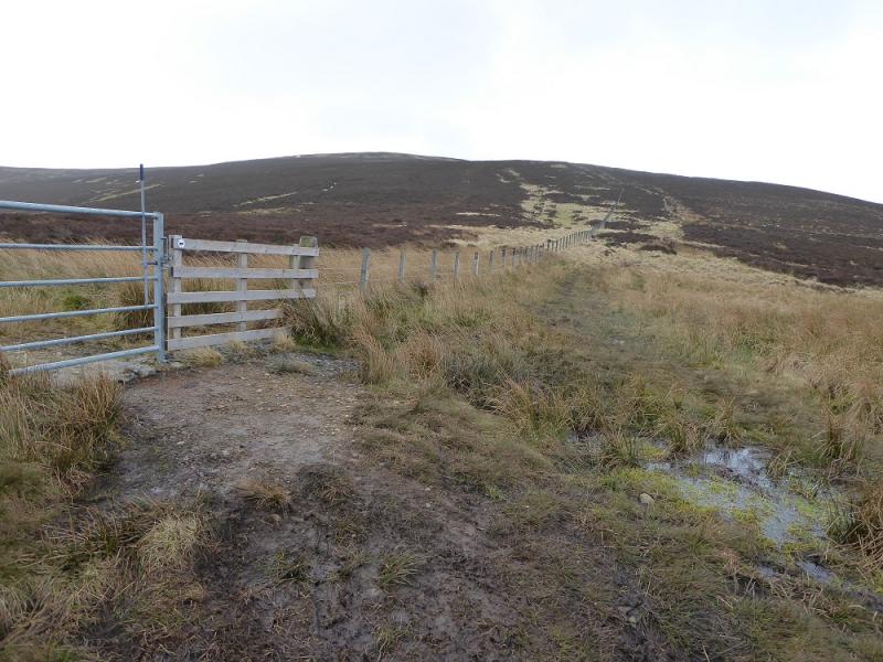
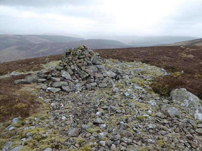
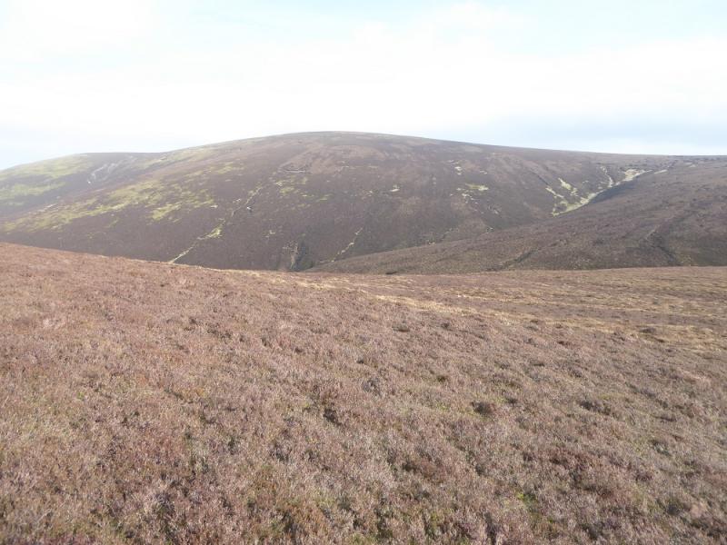
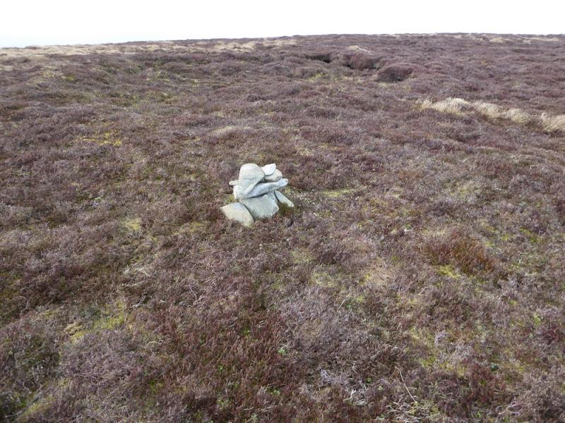
(4) Continue along the crest, following the fence until it splits on Broom Hill. Follow the fence going left (neither fence is on 2002 map) which goes down (path) into a col called Door Hass. The path goes up the other side, still following the fence. At the highest point, leave the fence and go right to the highest point where a tiny cairn marks the summit of Stob Law, 676 m.
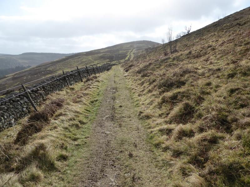
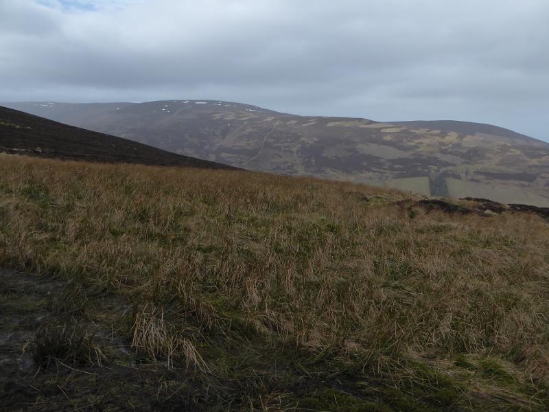
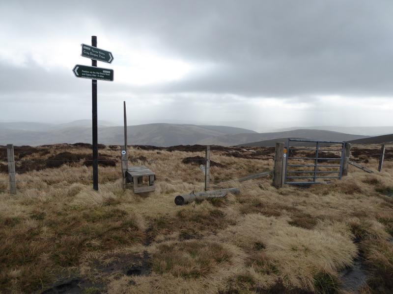
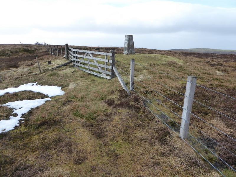
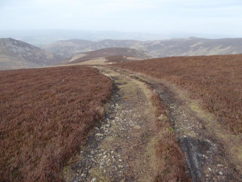
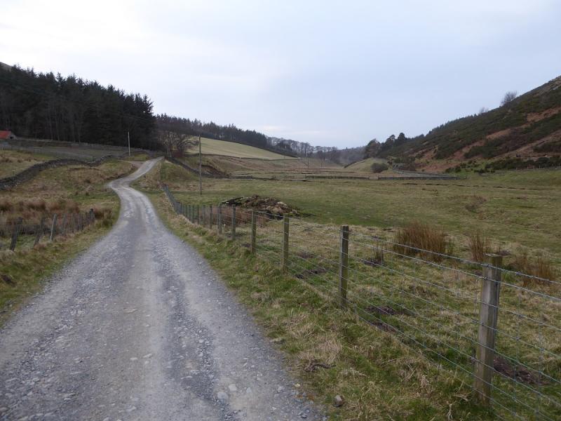
(5) Retrace to Broom Hill then cut across NE to join the main fence along the crest and follow it NNE, over some boggy ground, to reach a small cairn with a trig point a little further which is Huddleshope Heights. Between the cairn and trig point, a faint path goes NE. The path becomes more obvious lower down and heads for the Dead Side ridge. Lower down it joins an ATV track and continues along the crest. Eventually, profress is blocked by a wood so drop down to the right to pick up a good track (hidden from view until almost reached) and follow this past Upper Newby Farm. Continue past Newby where the track becomes a tarmac road. Follow this all the way back to the start. From Stob Law back to the start is about 9 km.
Notes
(a) This walk took place on 13th March, 2017 and about 15 years earlier.
Photos - Hover over photo for caption. Click on to enlarge. Click on again to reduce.