Get Lost Mountaineering
You are here: England » Peak District » Ramsden & Snailsden
Snailsden Pike, Ramsden Clough & Holme Moss from Ramsden Reservoir
Snailsden Pike, Ramsden Clough & Holme Moss from Ramsden Reservoir
Start/Finish
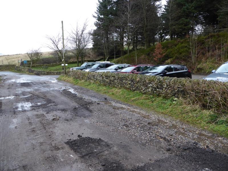
A small rough gravel car park by the side of Ramsden Reservoir which is reached by a minor road signed from Holmbridge (near the church) on the A6024. Holmbridge is about 2 miles south west of Holmfirth.
Distance/Time
12 km. About 4 – 5 hours.
Peaks
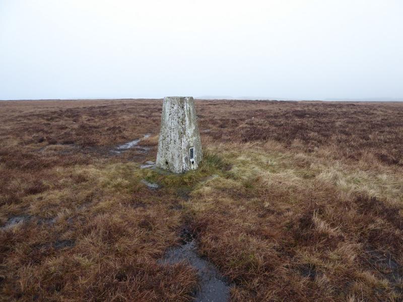
Snailsden Pike, 477 m, SE 128 033.
OS 110: Sheffield & Huddersfield. OS Outdoor Leisure 1: Dark Peak
Introduction
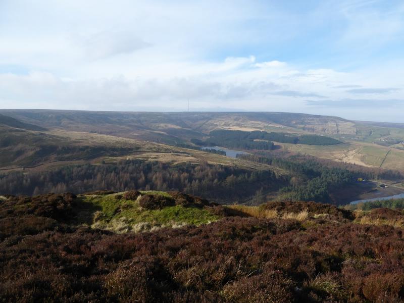
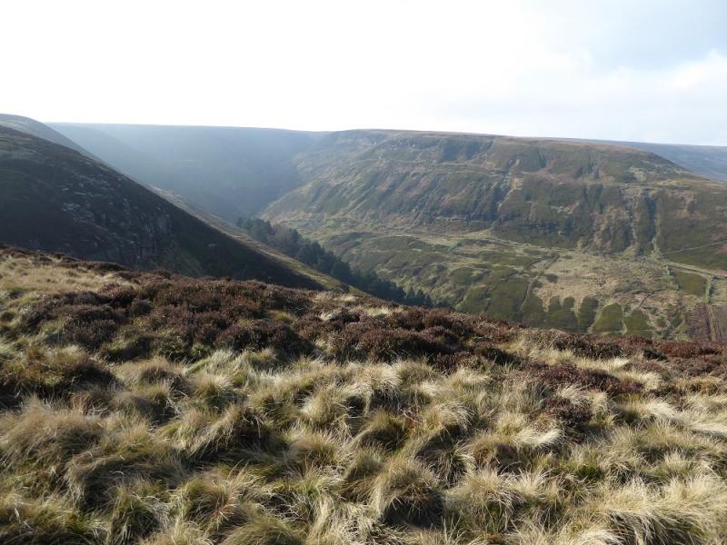
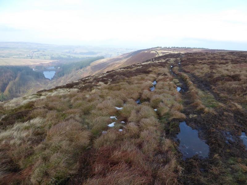
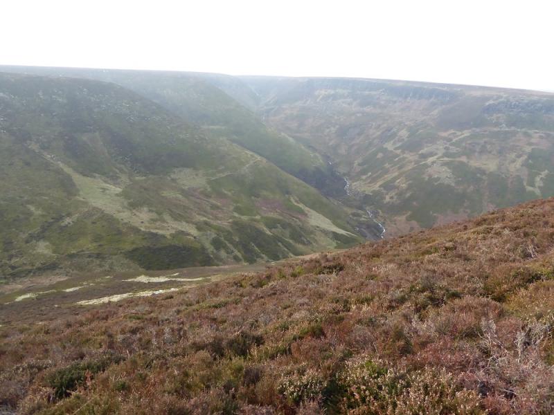
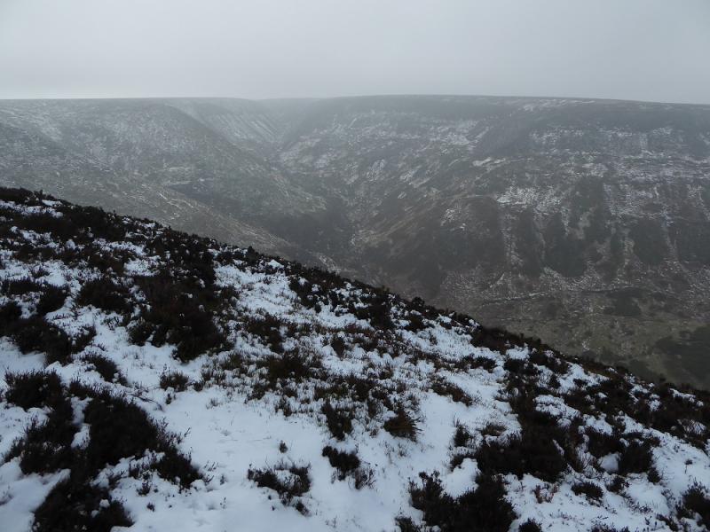
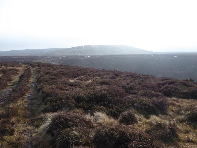
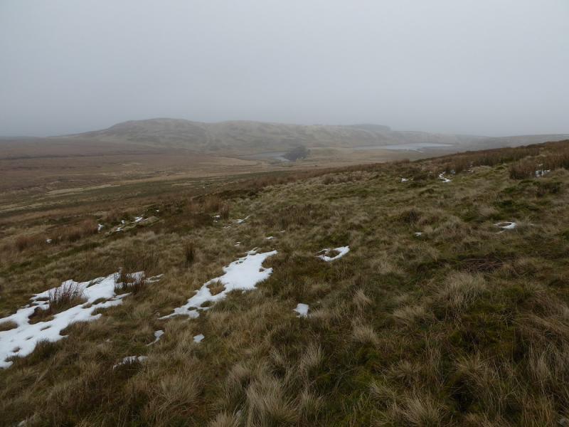
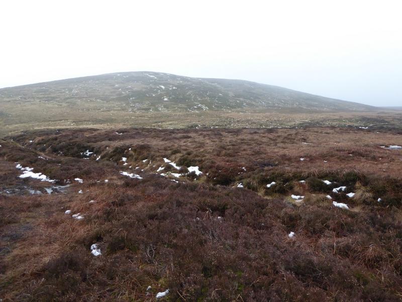
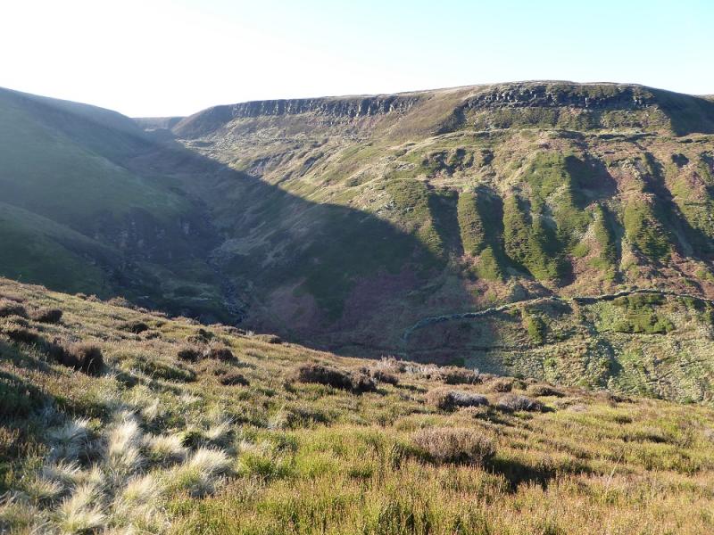
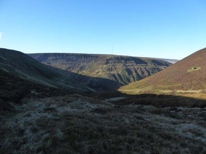
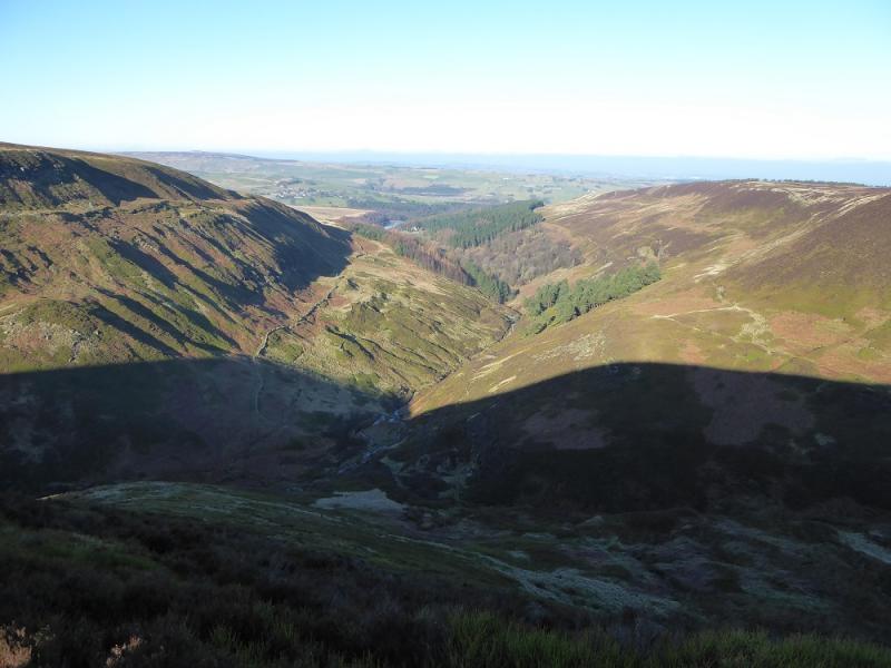
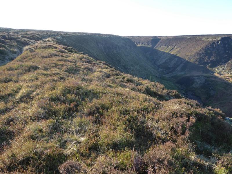
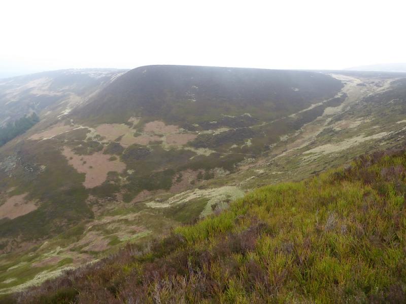
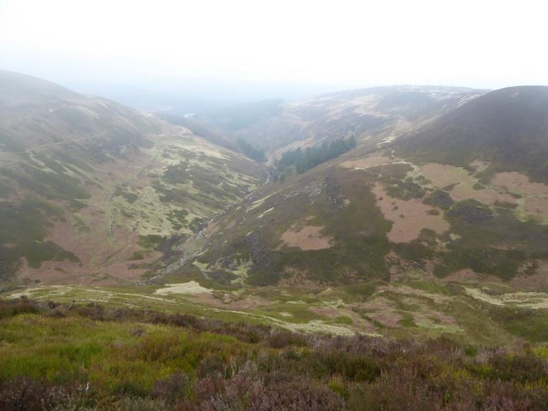
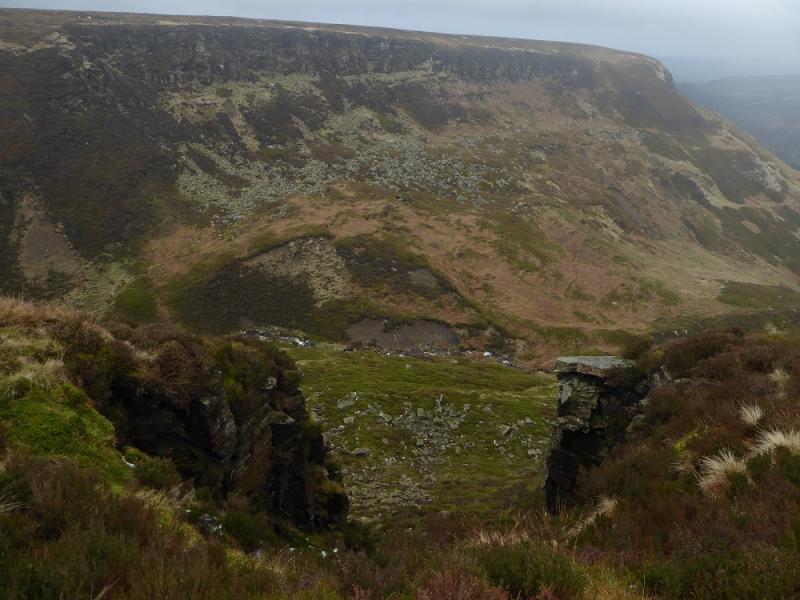
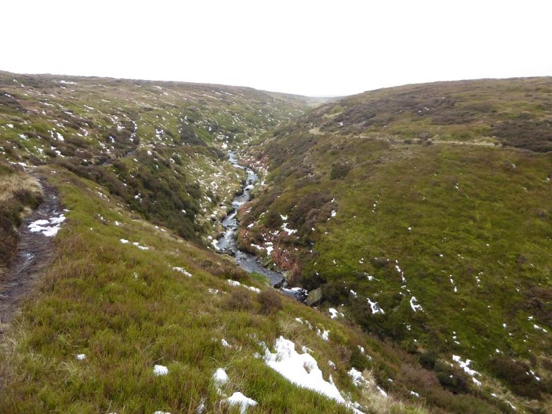
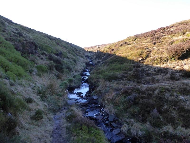
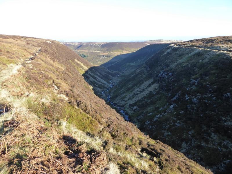
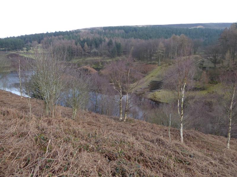
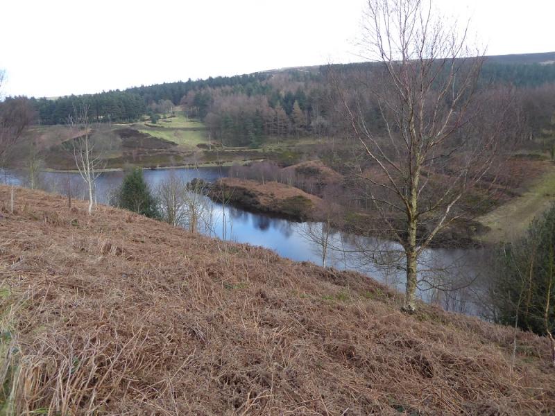
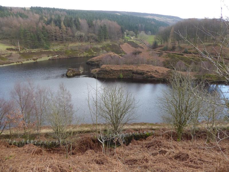
Some people say that Ramsden Clough is the finest in the Peak District area and it is hard to disagree with that. In some ways it resembles a rough highland glen. This route follows some of the eastern edge of Ramsden Clough from Crossley's Plantation to the end of the steep sided clough and offers good views into the clough. There is a short diversion to Snailsden Pike which accounts for about 45 minutes of the time. Some of the tracks and paths can be quite muddy. On a clear day there are some excellent moorland views. The highest point on the walk is actually Holme Moss car park at about 520 m.
Route
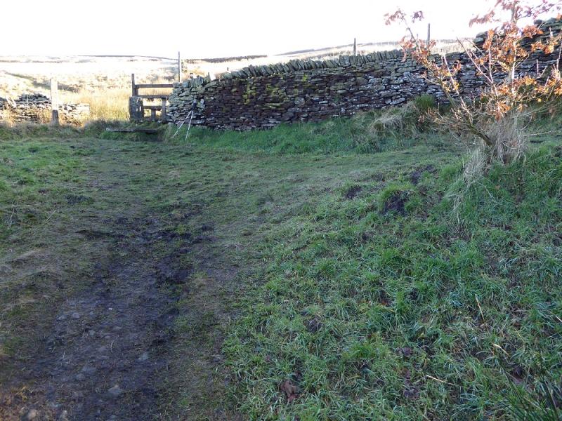
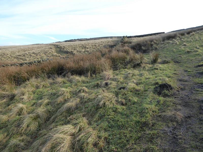
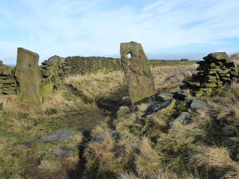
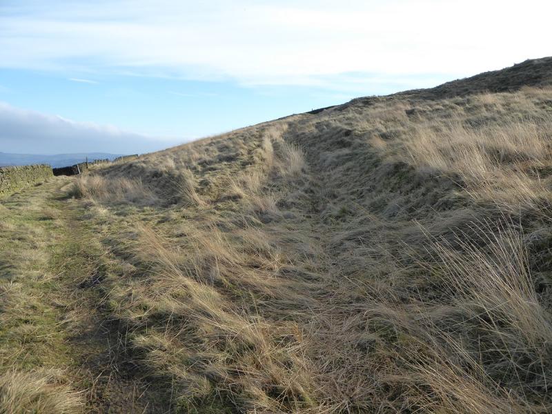
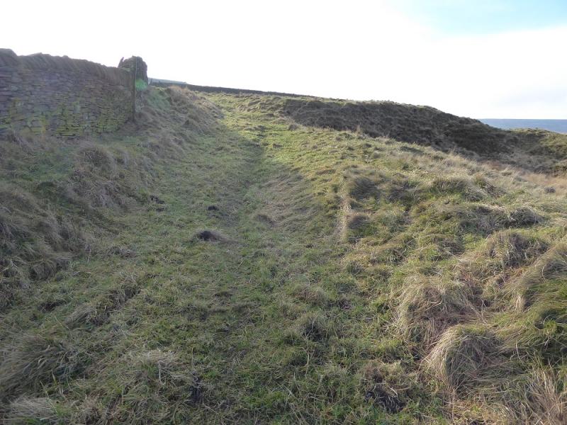
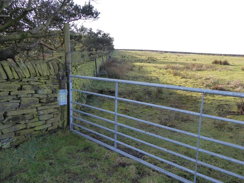
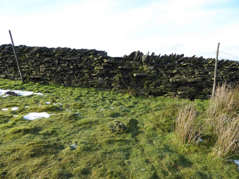
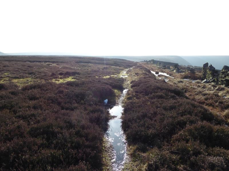
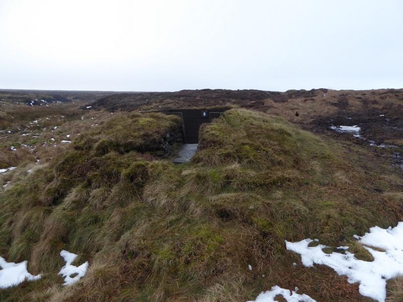
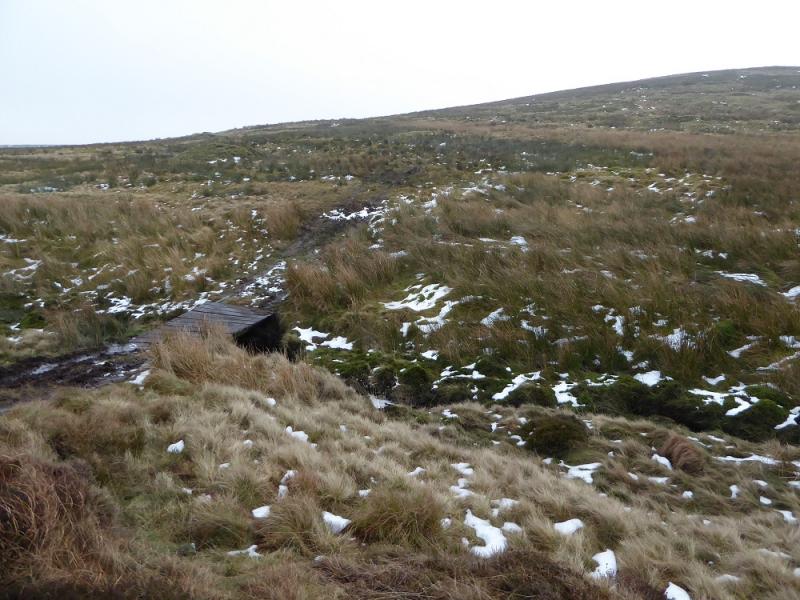
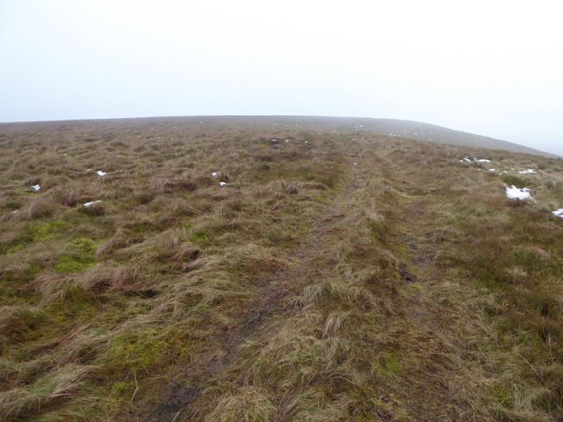
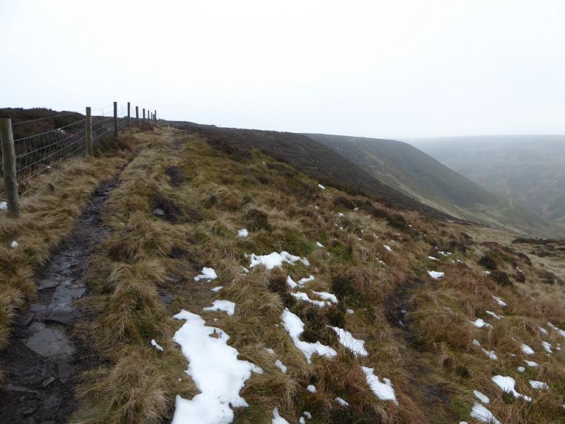
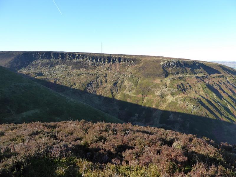
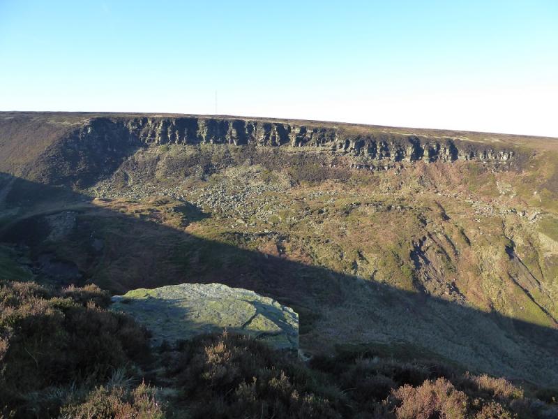
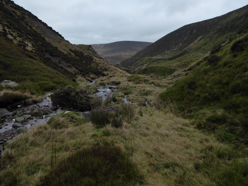
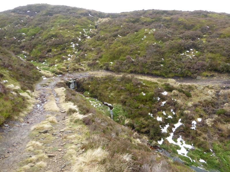
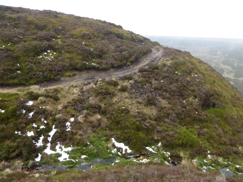
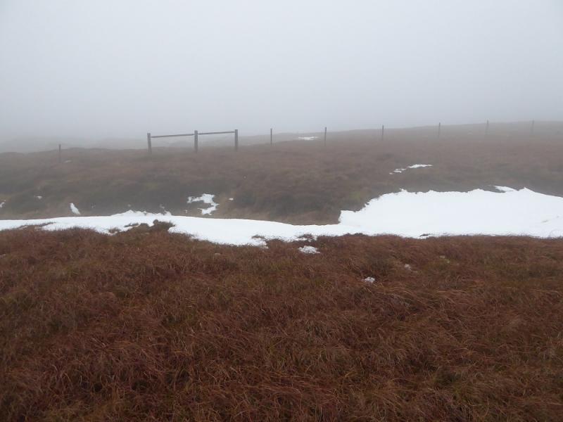
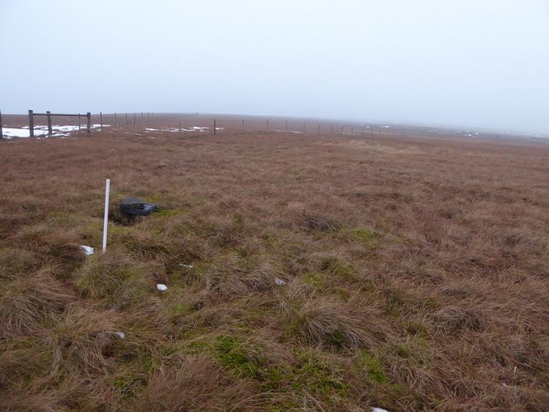
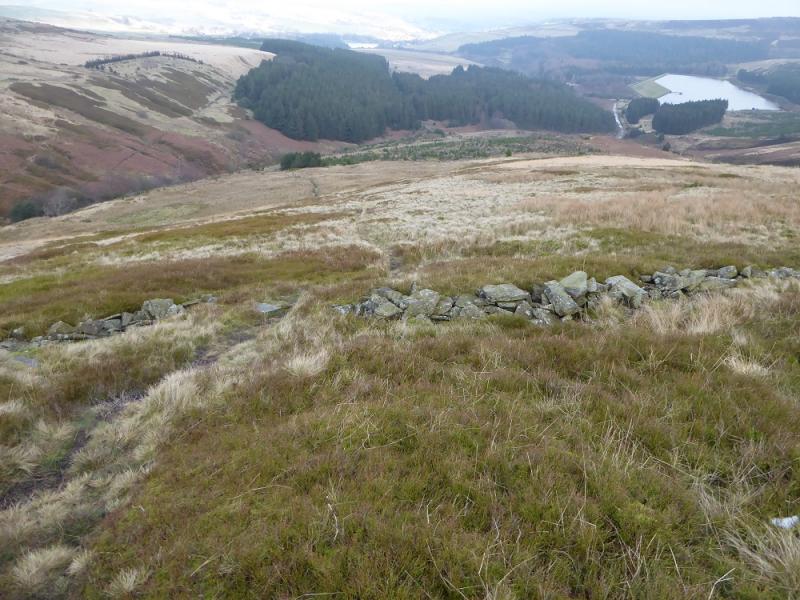
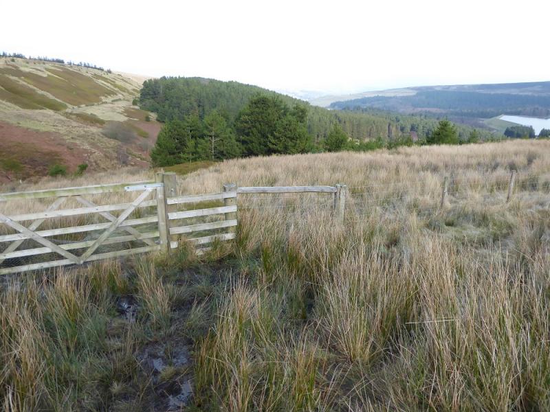
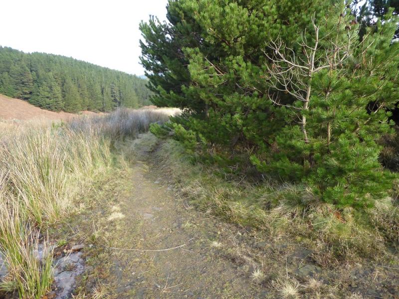
(1) Walk up the path/track at the back of the car park and follow it up to a stile. Cross the stile and follow the path NNE which soon starts to shadow a broken wall. Further on, a grassy path forks off right to meet a wall which it follows uphill to emerge at a major track by a bench. Follow the track SE for about 500m to a metal gate just before the obvious wood known as Crossley's Plantation. Climb over the gate and follow the edge of the wood to the next wall where there are “steps” in the wall but the bottom one is missing. Cross the wall then continue following the edge of the wood. The edge is not far to the right. At the end of the wood, continue on the obvious path, still following the edge, to reach the top of Ruddle Clough where there is a gate through the fence on the left leading to the path to Snailsden Reservoir. Follow this boggy track with a better path off to the right. Reach a small “bridge” on the right after grouse butt 8. Cross over and follow the path uphill. The highest point is not marked but this is Snailsden Pike, 477 m. It is worth continuing on the grassy track as it curves around to the north. The track passes below the trig point but there is a short path to it from the track.
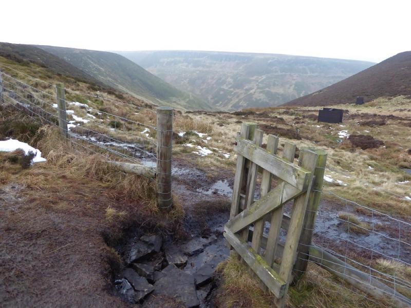
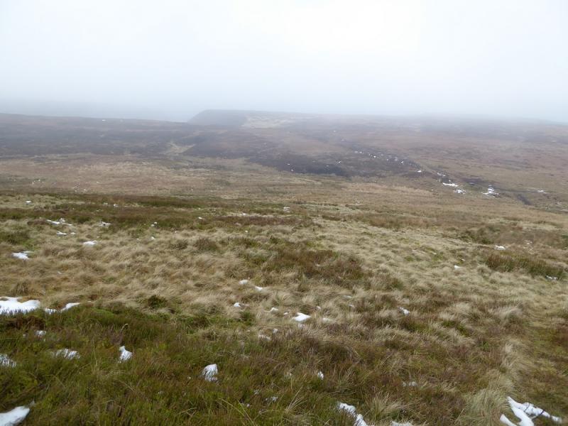
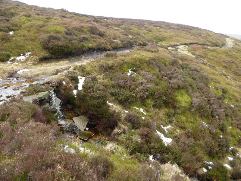
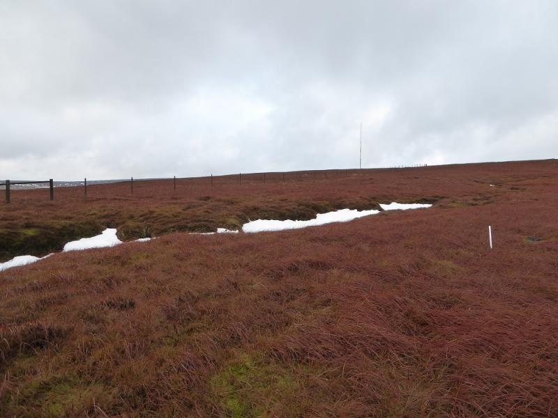
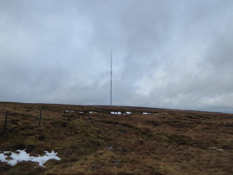
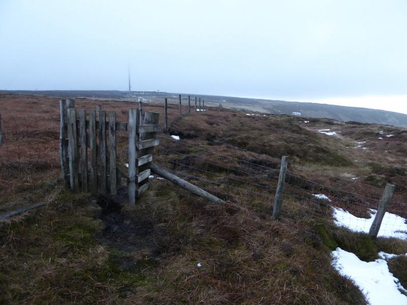
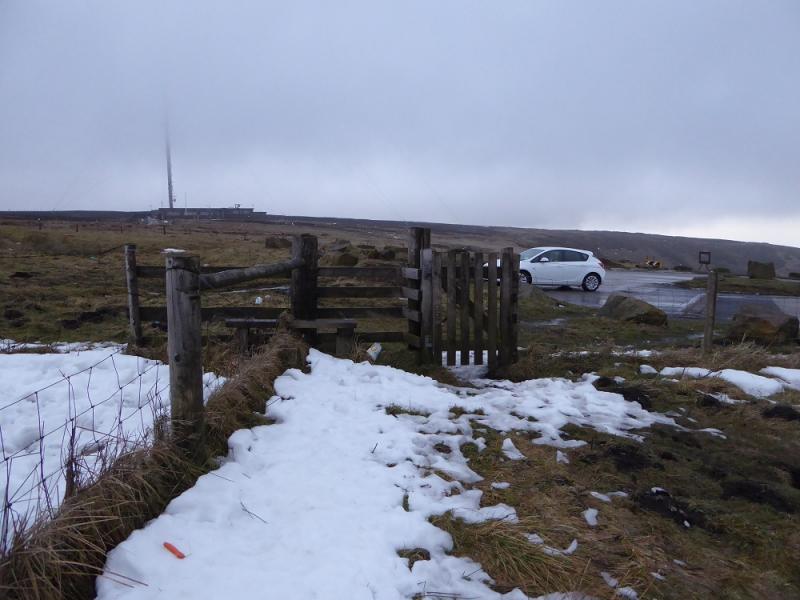
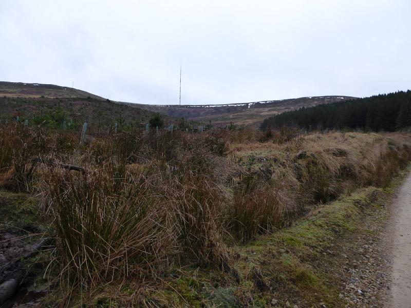
(2) Retrace back to the gate at the top of Ruddle Clough then go left, SSW, and follow the obvious path along the edge of Ramsden Clough. After about 1 km, the path crosses the clough about 100 m before some grouse butts further up. Continue following the stream past the grouse boards. Stay on the N side (stream on the left) where there is a boggy ATV track. Follow this. In clear weather, Holme Moss mast will soon be seen. Stay with the track until it goes left just before a fence. Leave the track here and follow the fence, going right and uphill. There is a faint path close to the fence. Further on, this becomes more distinct and leads towards the mast and emerges, after two gates, at the new car park near the summit of the Holme Moss road. There are plenty of large rocks to sit on for lunch!
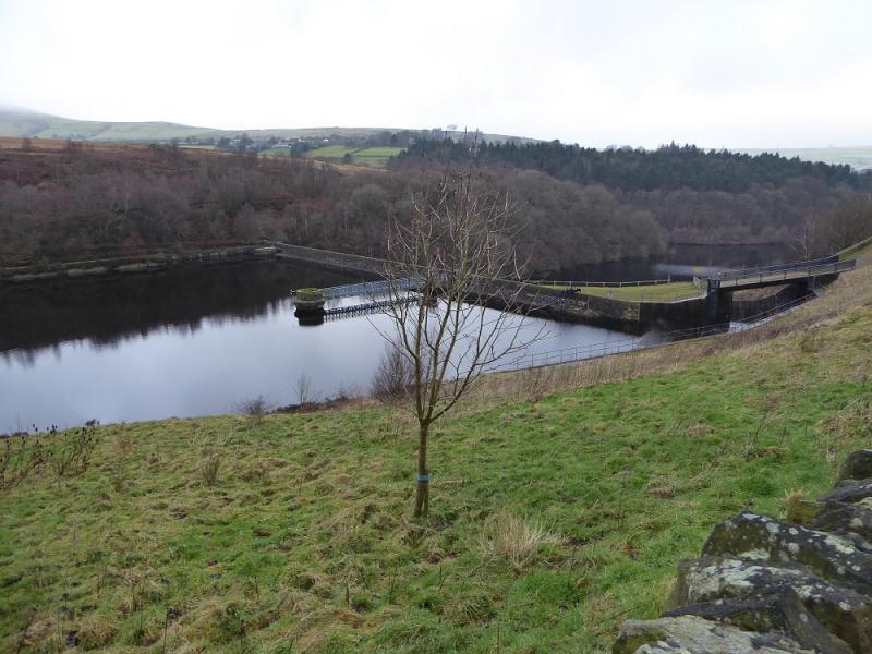
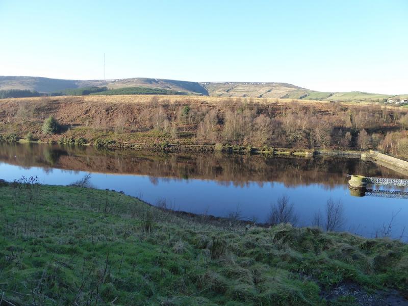
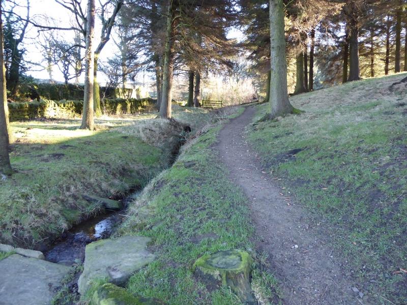
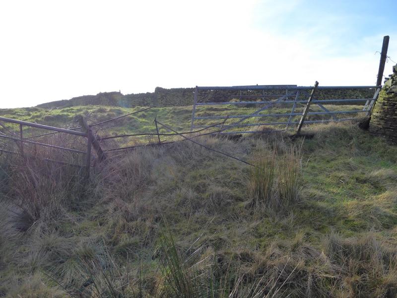
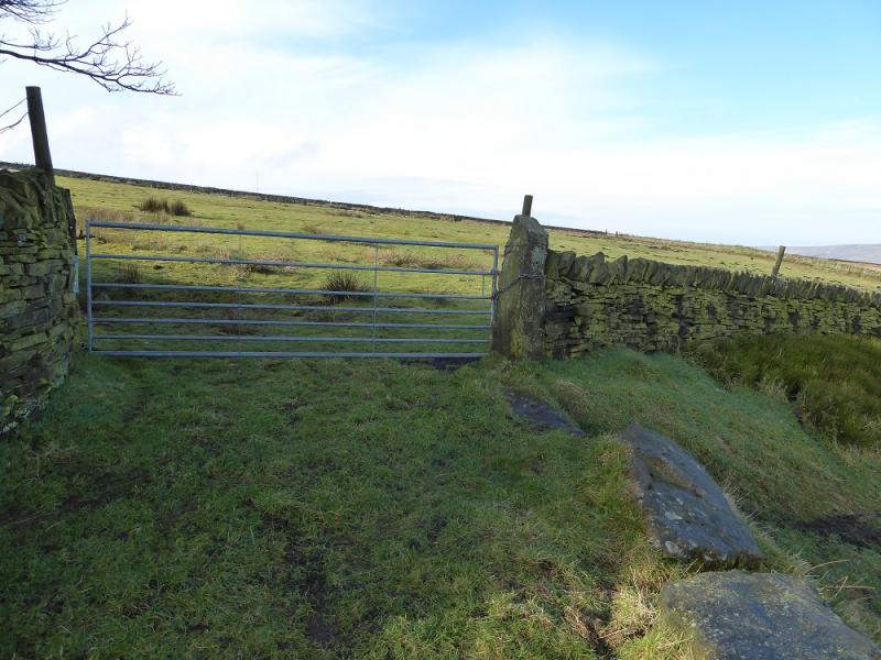
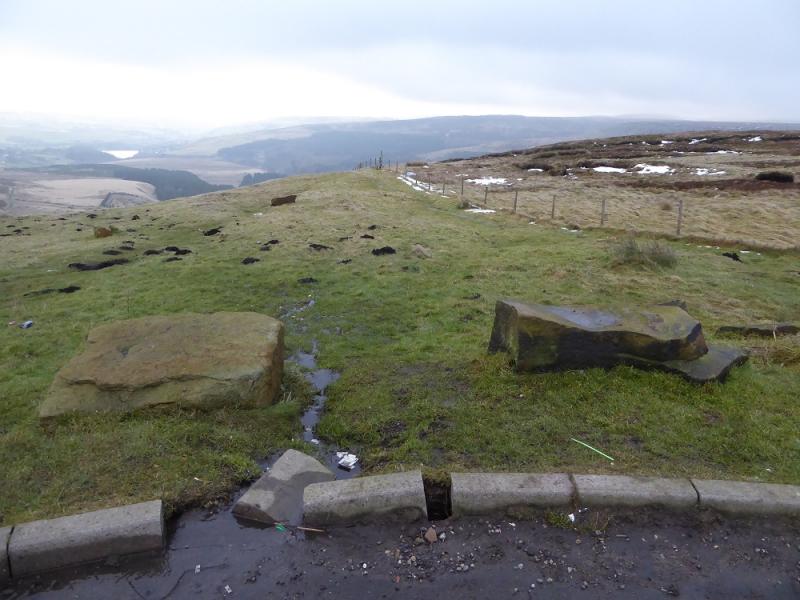
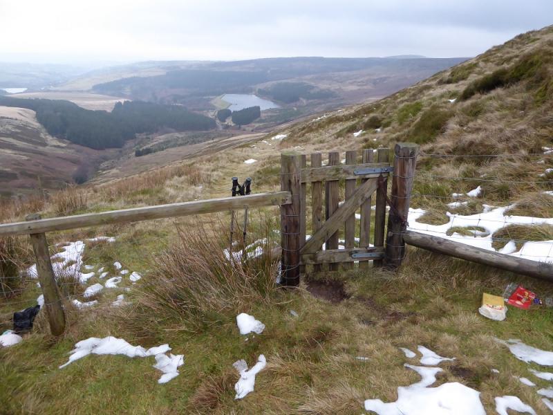
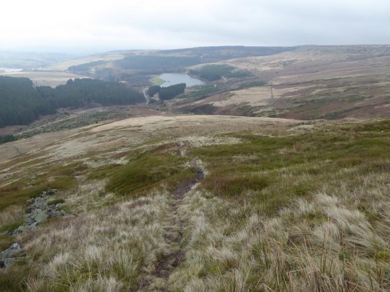
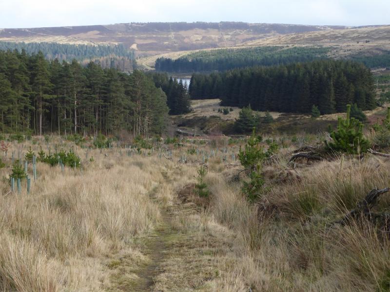
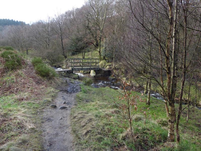
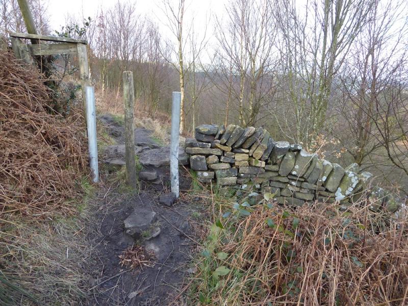
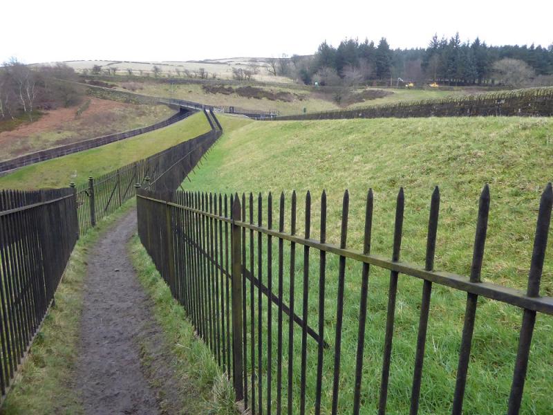
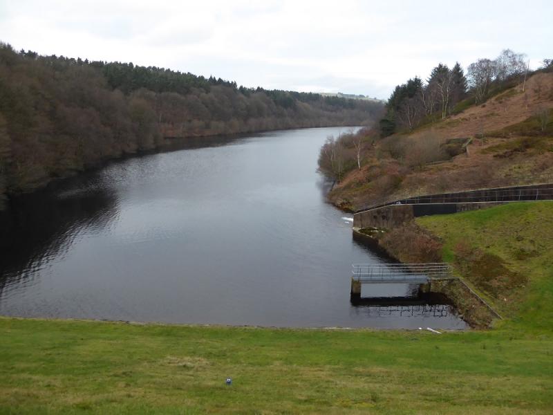
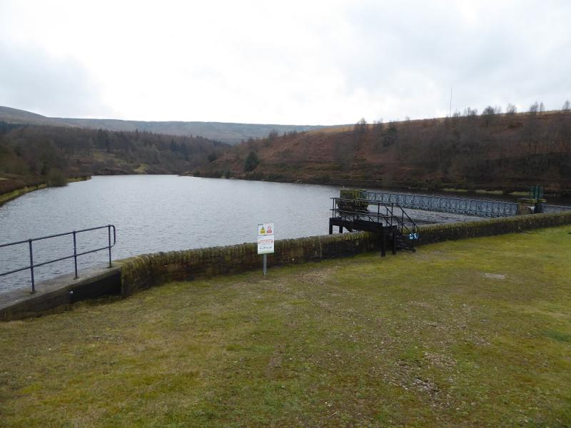
(3) Descend downhill from the car park staying to the left of the obvious fence. Do not cross this fence but follow it down then left to reach a narrow gate and metal gate. Go through and follow the path down towards the new plantation. The path goes to the left of this new plantation where the tallest trees are. A rough track starts by the trees and leads down to the rough road through Holme Woods. Turn right on to the road and follow it past Yateholme Reservoir. Soon after this, there is a not very obvious sign post and stone stile on the left. Cross over and follow the path, level then down, to a bridge over a stream. Cross over and continue on the other side and soon be above Ramsden Reservoir. When the path splits take the left fork and soon pass through a wall above the dam. Continue, taking the right fork, going past the dam before a path cuts back and crosses the dam to reach the road. Turn right and reach the car park within 100 m.
Notes
(a) This walk took place on 15th February, 2017.
(b) An alternative to taking the path after Yateholme Reservoir is to stay on the track which goes across Riding Wood Reservoir Dam then back to the start. This track will be closed from about February 2017 until about March 2017.
(c) There are some other interesting edge walks in this area which are worthy of further exploration.
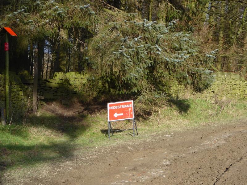
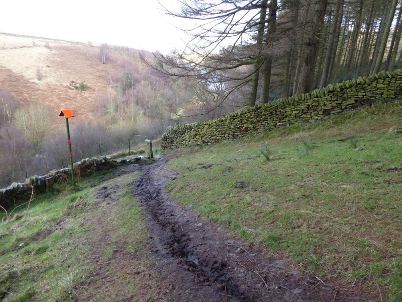
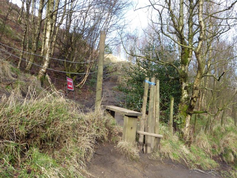
Photos - Hover over photo for caption. Click on to enlarge. Click on again to reduce.