Get Lost Mountaineering
You are here: England » Lancashire » Pendle Hill
Pendle Hill via Ogden Clough & Pendle Moor from Barley
Pendle Hill via Ogden Clough & Pendle Moor from Barley
Start/Finish
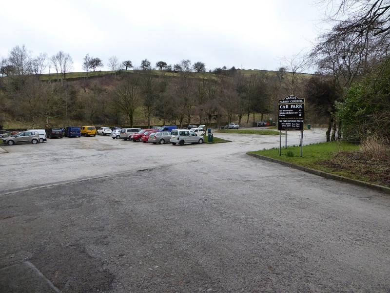
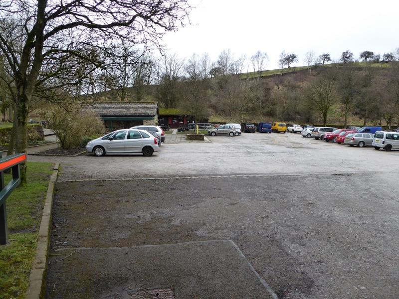
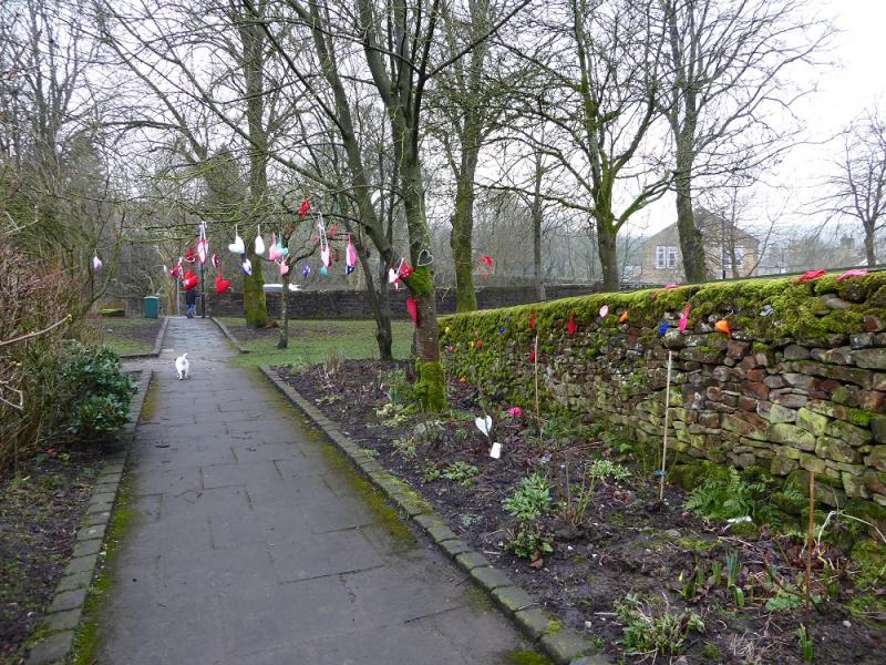
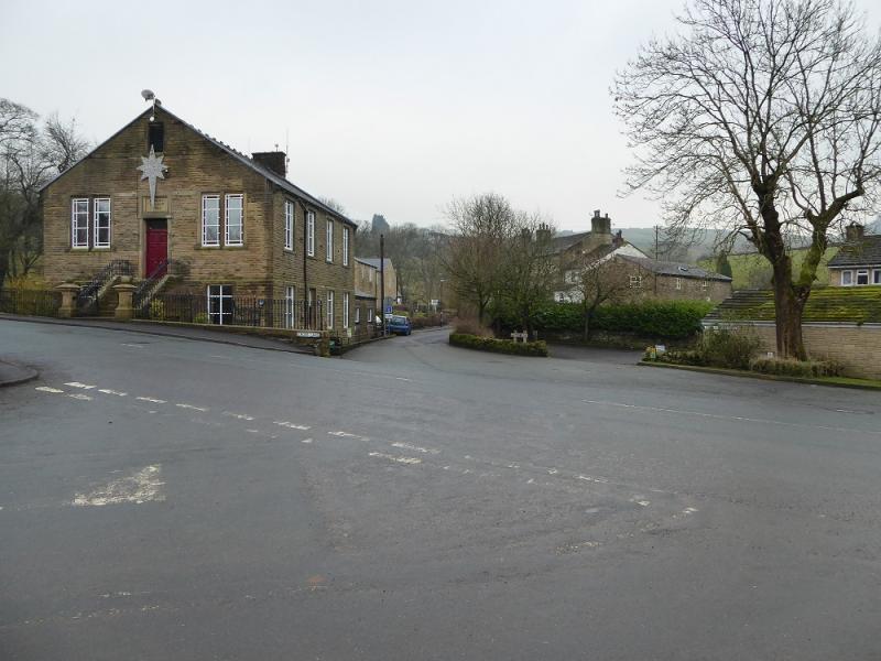
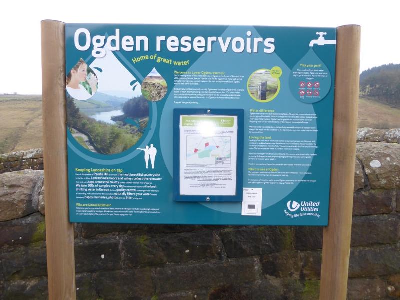
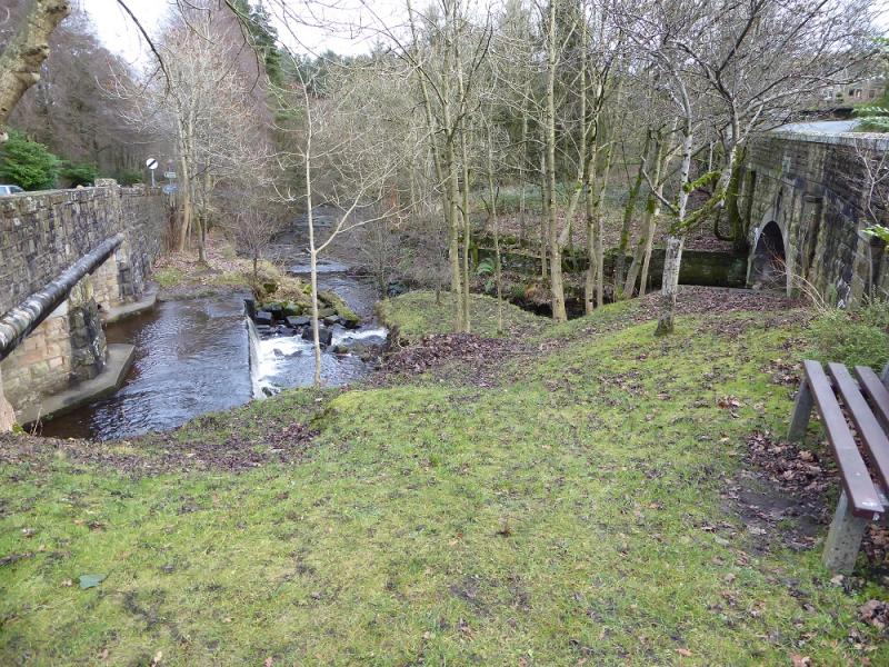
Barley village car park which was only £1 per day on 10/3/16. The car park is at SD 823 406 and its approximate post code is BB12 9JX. There are many routes to Barley but expect some narrow roads close to the village! Barley is west of Colne, north of Padiham, east of Clitheroe and south of Gisburn.
Distance/Time
9 km. About 3 – 4 hours.
Peaks
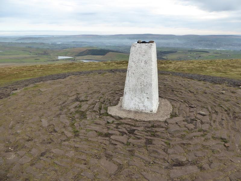
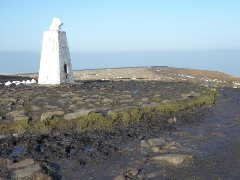
Pendle Hill, 557 m, SD 804 404.
OS 103: Blackburn, etc. OL 21: South Pennines.
Introduction
Some may consider Pendle Hill to be of modest height but it dominates the surrounding countryside and is well seen from far away. Navigation is relatively straight forward but it can be boggy in the upper part of Ogden Clough above the reservoirs. There are toilets and a pleasant cafe in the car park; the parking charges are only £1 per day.
Route
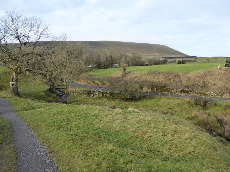
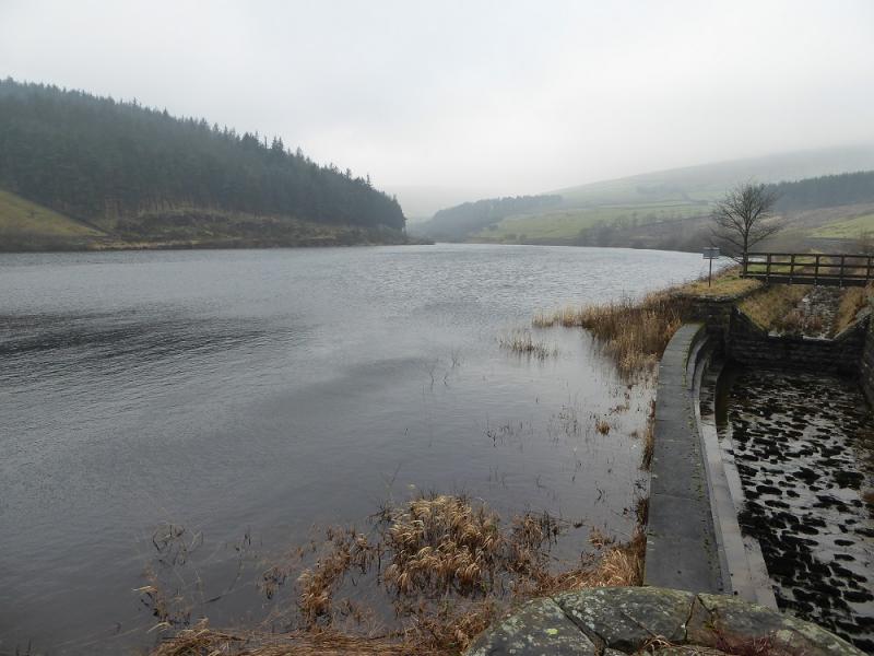
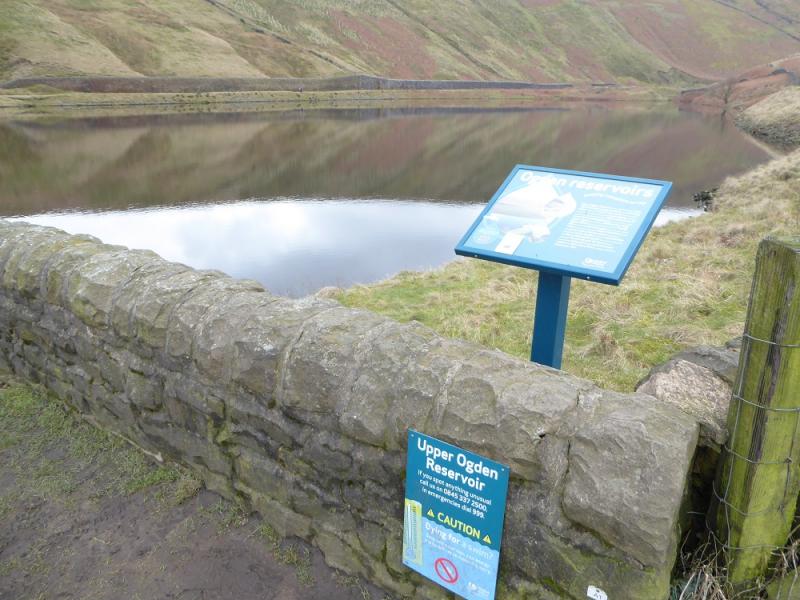
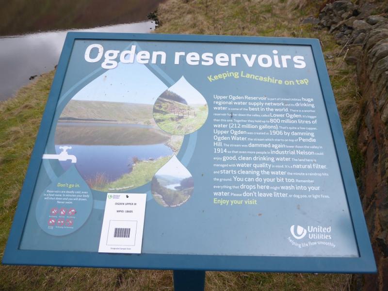
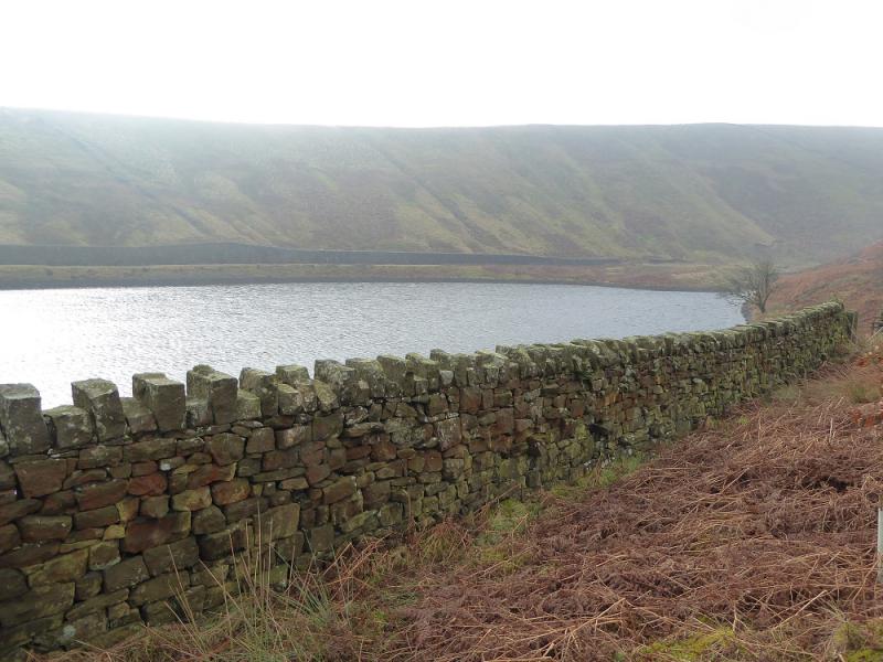
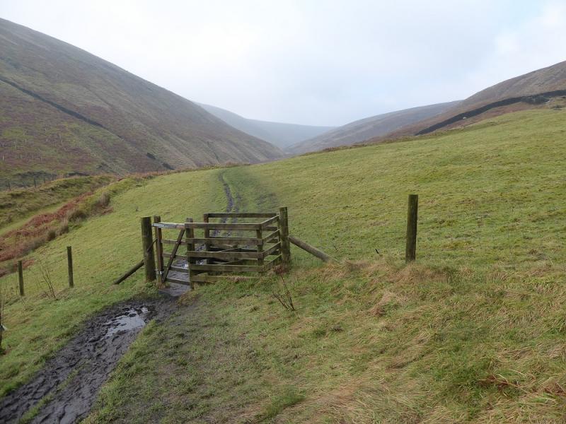
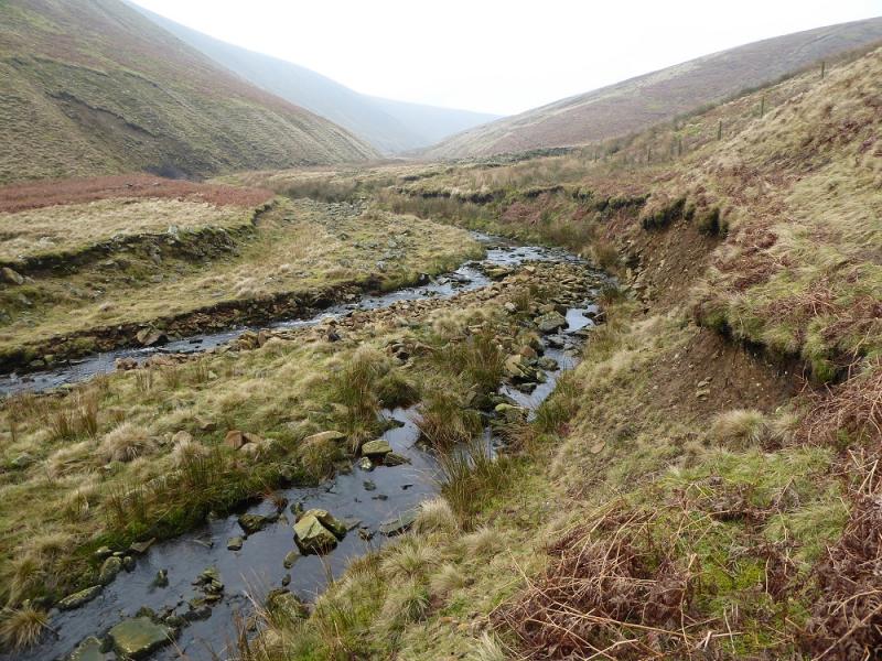
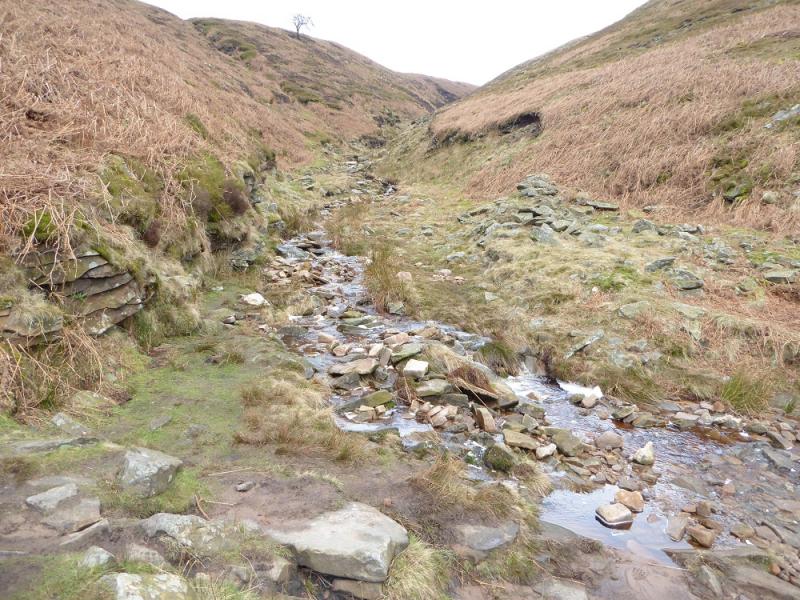
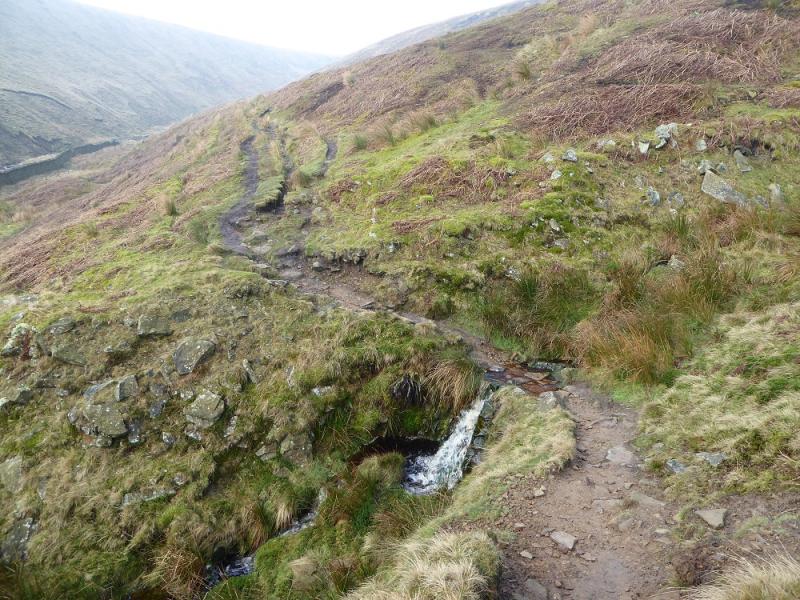
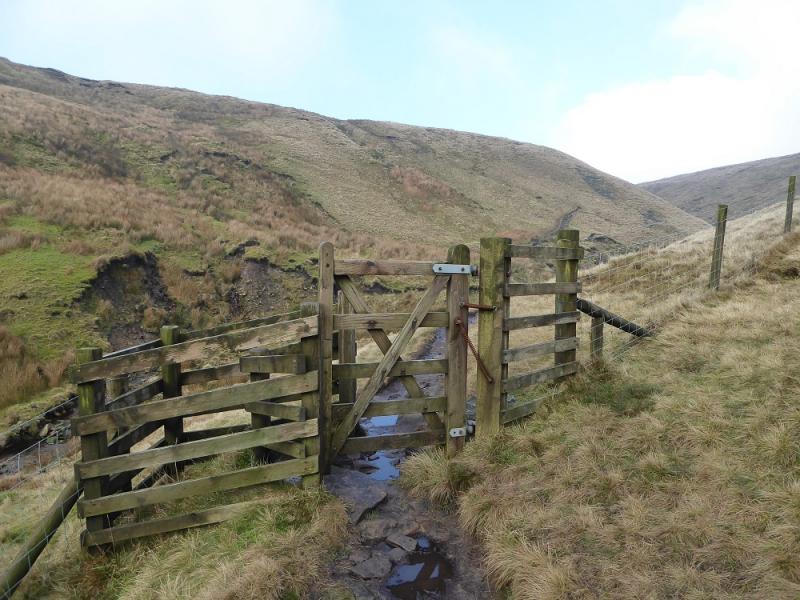
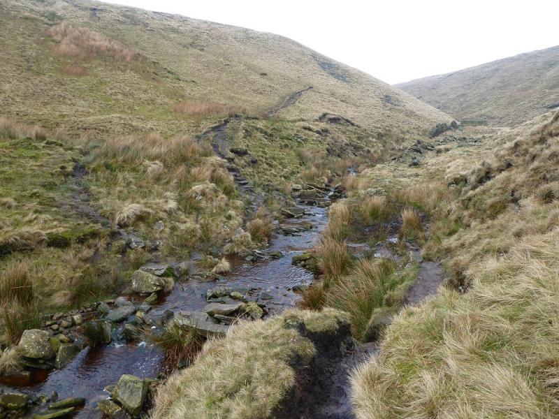
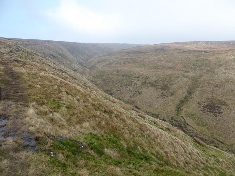
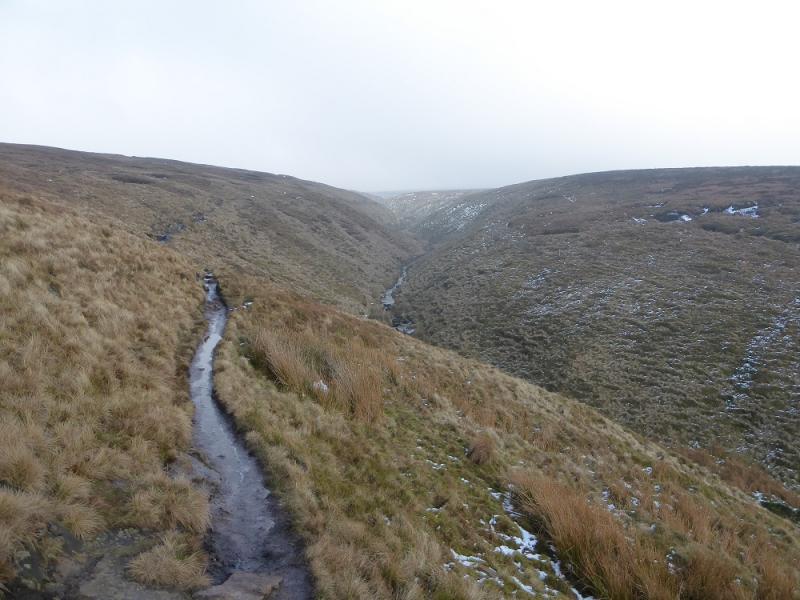
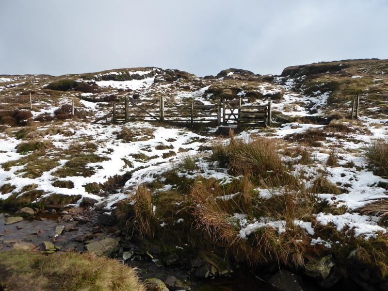
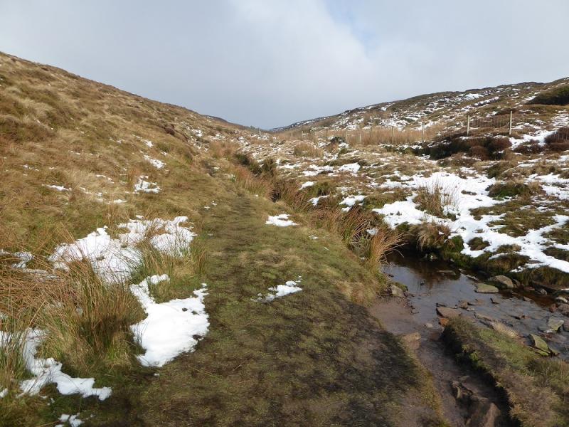
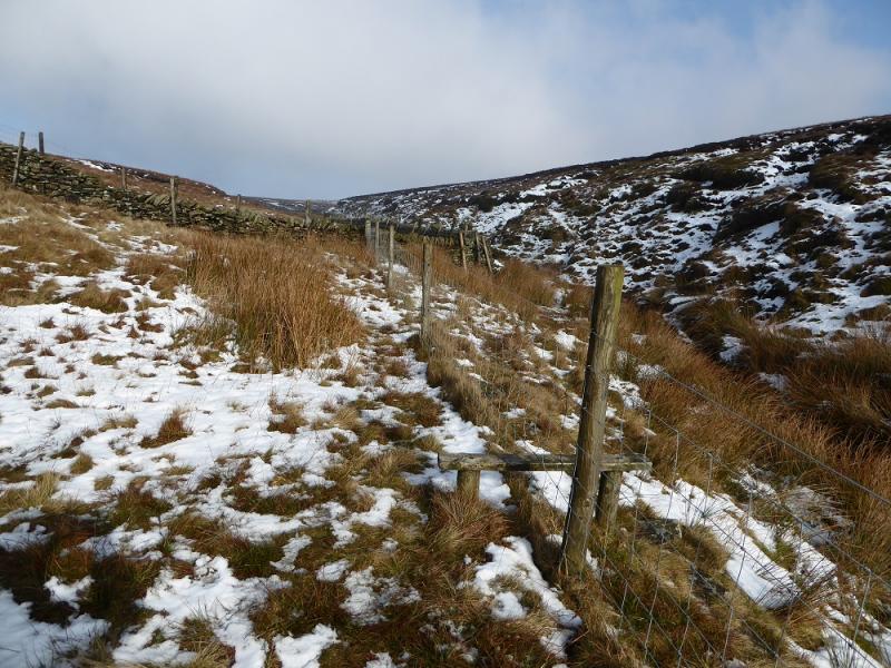
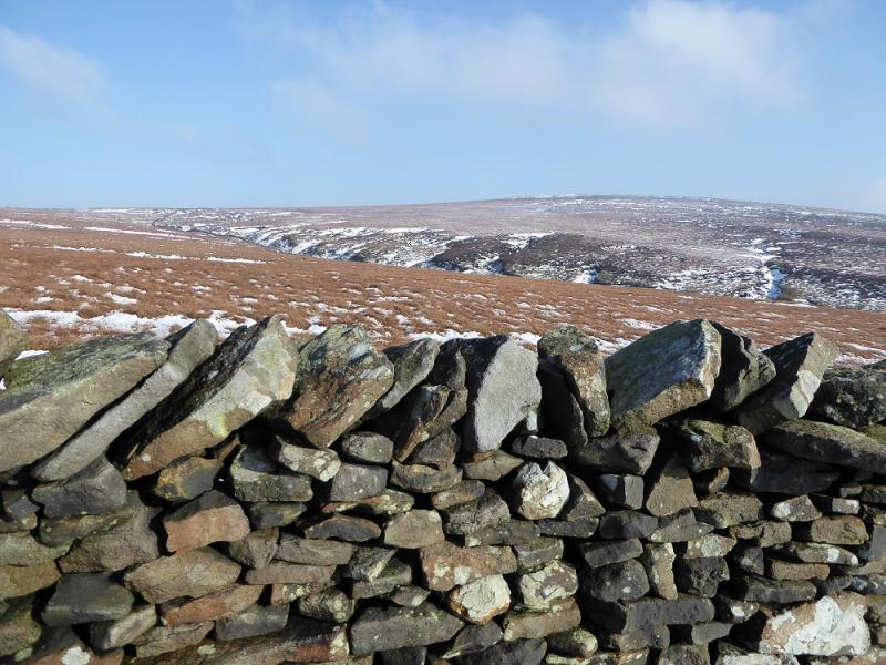
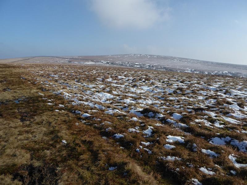
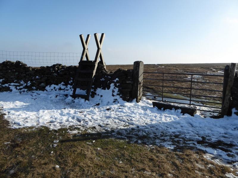
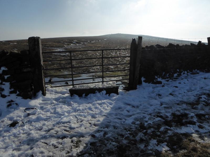
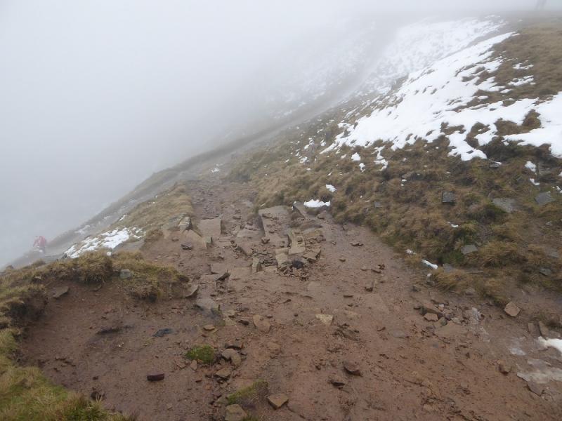
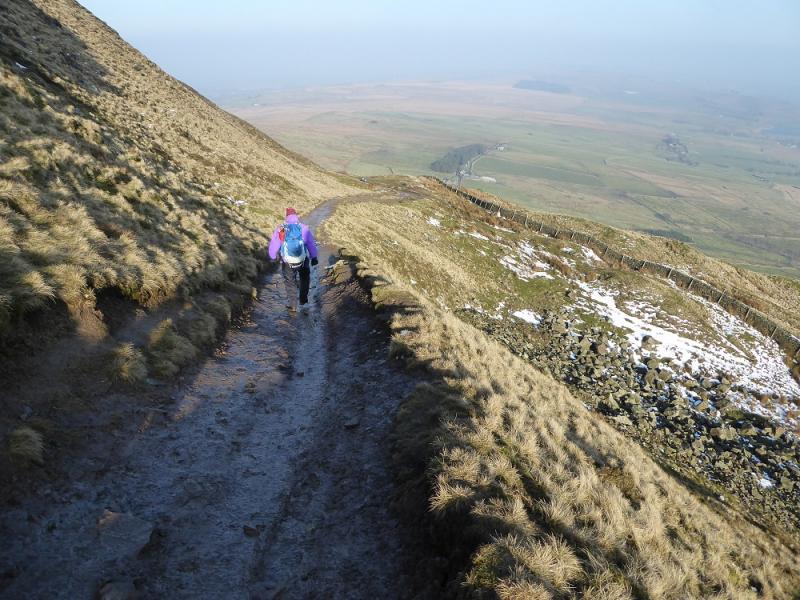
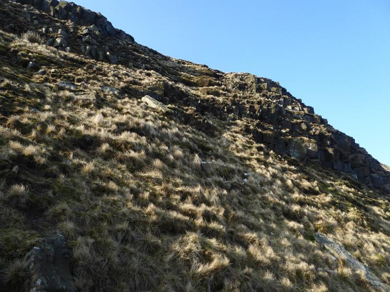
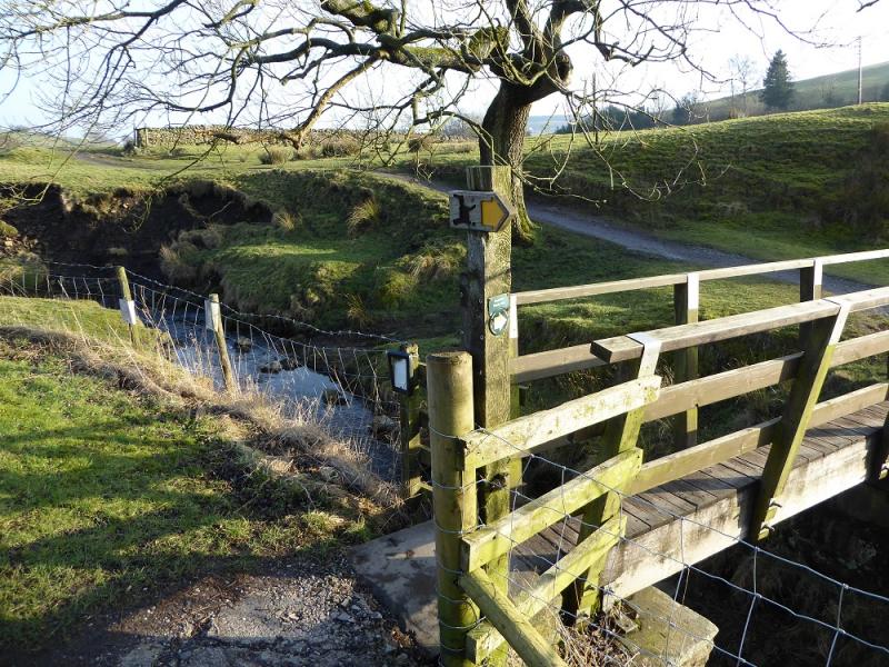
(1) Walk out of the car park to the road you drove in on. Cross over and go up the minor road, for Barley Green, which is at the side of the village hall. Follow the road/track up to the Lower Ogden Reservoir then to the Upper Ogden Reservoir where the track becomes a path. Follow the path up the clough. Pass the foot of Boar Clough which is the first significant clough on the right and which has a path coming down it. Continue up Ogden Clough, crossing the stream, usually no problem, higher up. The path then climbs up on to the left edge of the clough. Further on the stream rejoins the path and there is an obvious path/gate on the right which is the usual route to Pendle Hill summit. Continue up Ogden Clough until a simple stile is reached just before a very obvious wall corner. Do not cross the stile but follow the faint path by the wall going left. Reach a stile on Pendle Moor and cross over then follow the path which slowly converges with the wall which continued up Ogden Clough. Cross the wall at a stile then turn right and follow the path going gently uphill and gradually drifting away from the wall. The direction is about 200 m SSW then about 200 m S with the edge just on the left. The trig point is soon reached and this is the summit of Pendle Hill, 557 m.
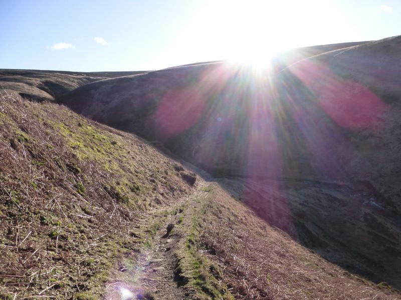
(2) Continue past the trig point, following the path closest to the edge (it isn't too close!). After about 600 m, the descent path leaves the edge (there are two options) and descends as a reverse fork down to the start of the ascent steps. Lower down, the path splits – the right fork is more direct. From there retrace the outward route.
Notes
(a) This walk took place on 13th February, 2017.
(b) There are many other routes on Pendle Hill which are well worth exploring.
Photos - Hover over photo for caption. Click on to enlarge. Click on again to reduce.