Get Lost Mountaineering
You are here: England » North Yorks Moors & Coast
Cold Moor, White Hill & Round Hill Clockwise from Chop Gate
Cold Moor, White Hill & Round Hill Clockwise from Chop Gate
Start/Finish
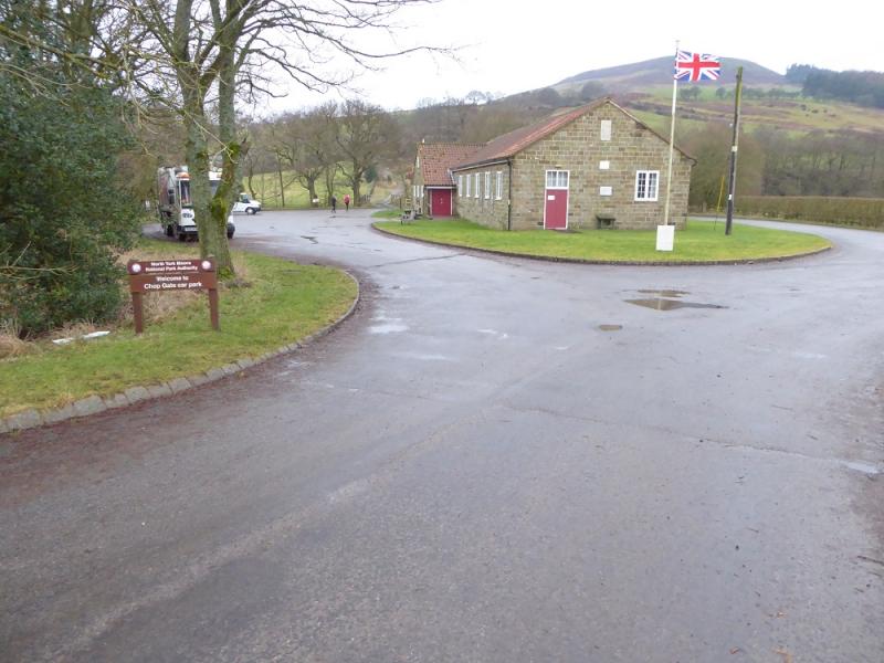
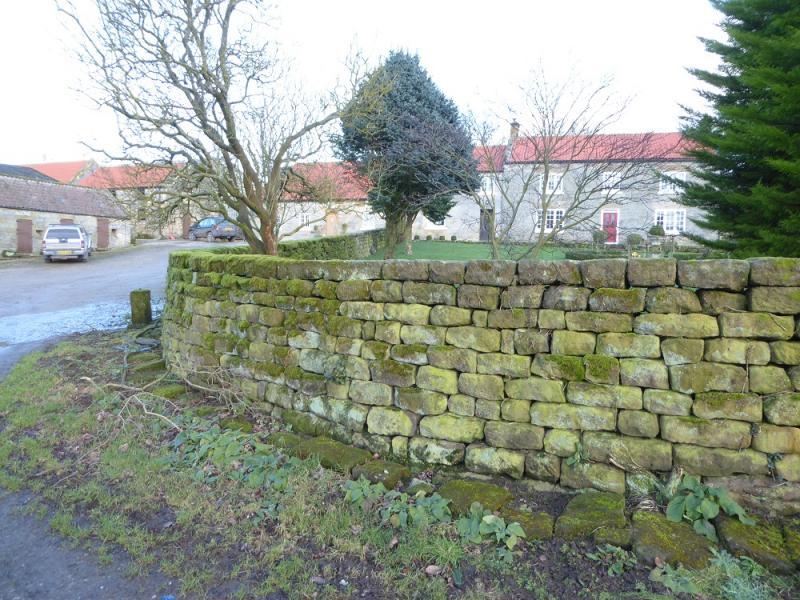
Chop Gate Village Hall car park which has toilets and charges £1 to park. Chop Gate village is on the B1257 from Stokesley to Helmsley. The car park is on the southern end of the village.
Distance/Time
14 km. About 5 – 6 hours.
Peaks
Cold Moor N Top, 402 m, NZ 551 035.
White Hill/Hasty Bank, 398 m, NZ 564 037.
Round Hill, 454 m, NZ 594 016.
OL 26, 1:25 000, North Yorks Moors Western Area.
Introduction
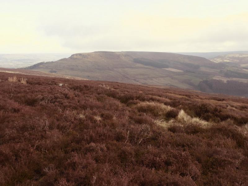
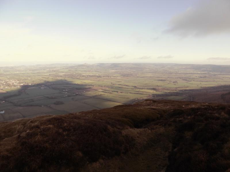
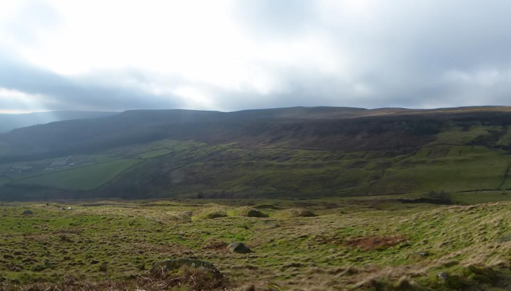
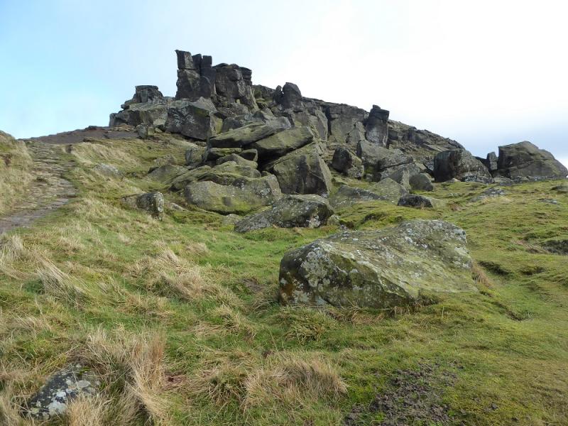
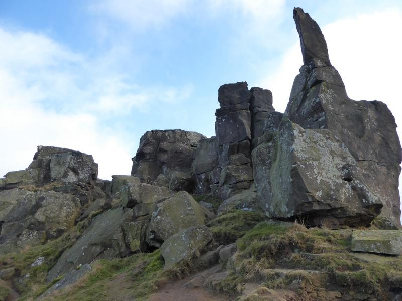
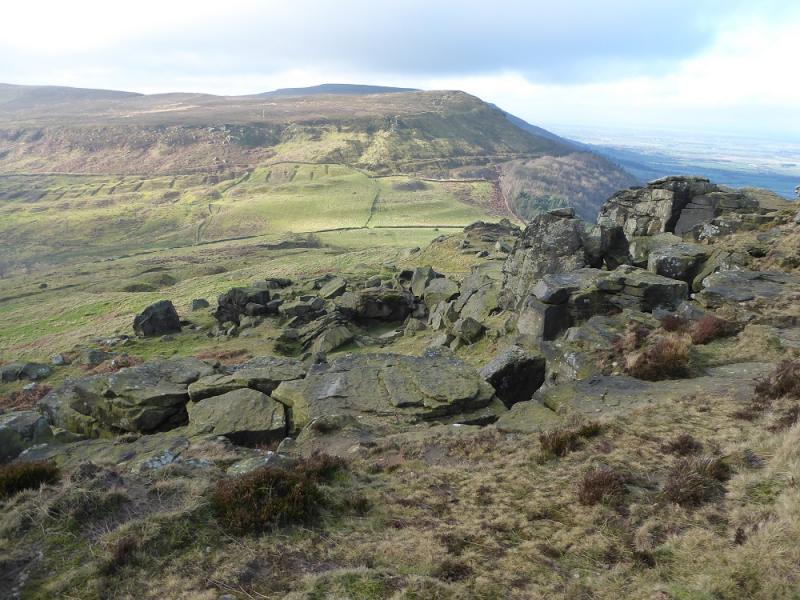
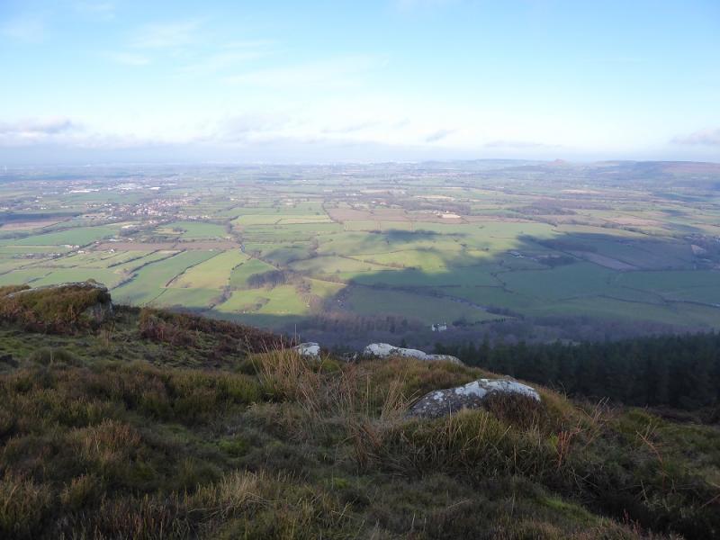
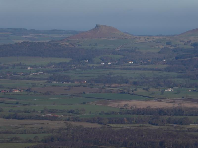
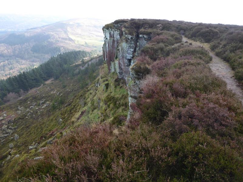
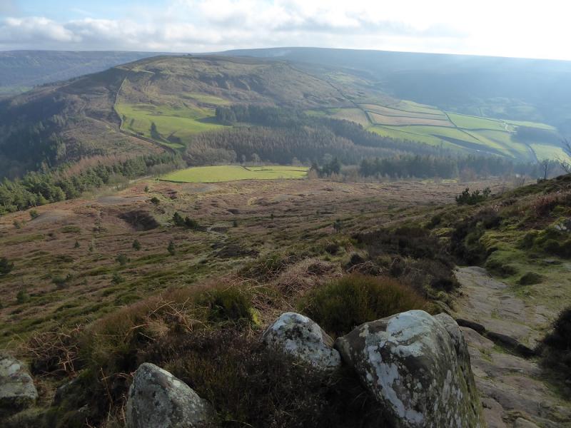
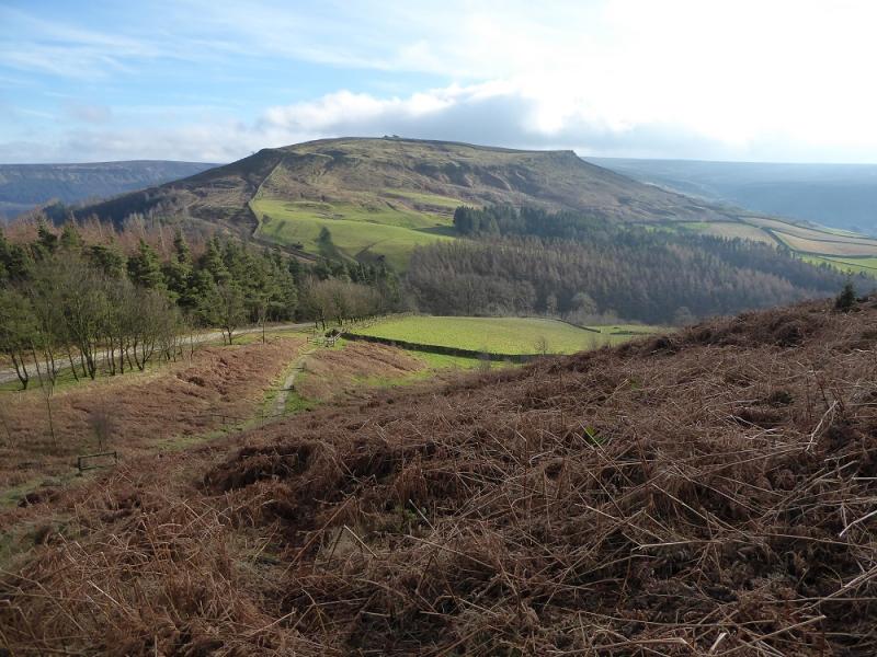
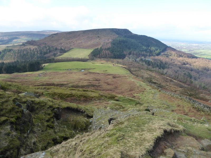
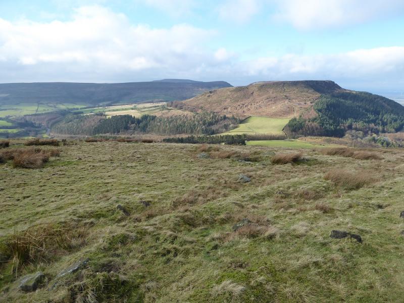
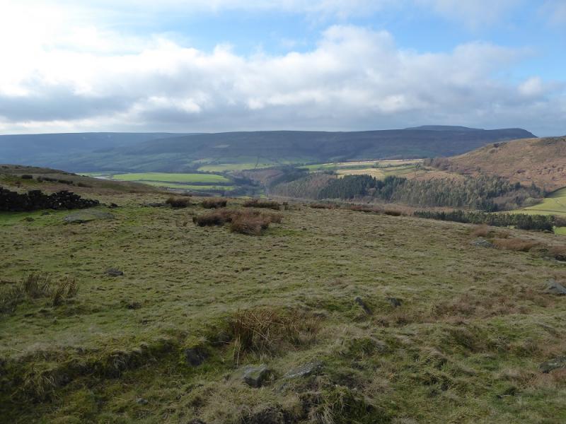
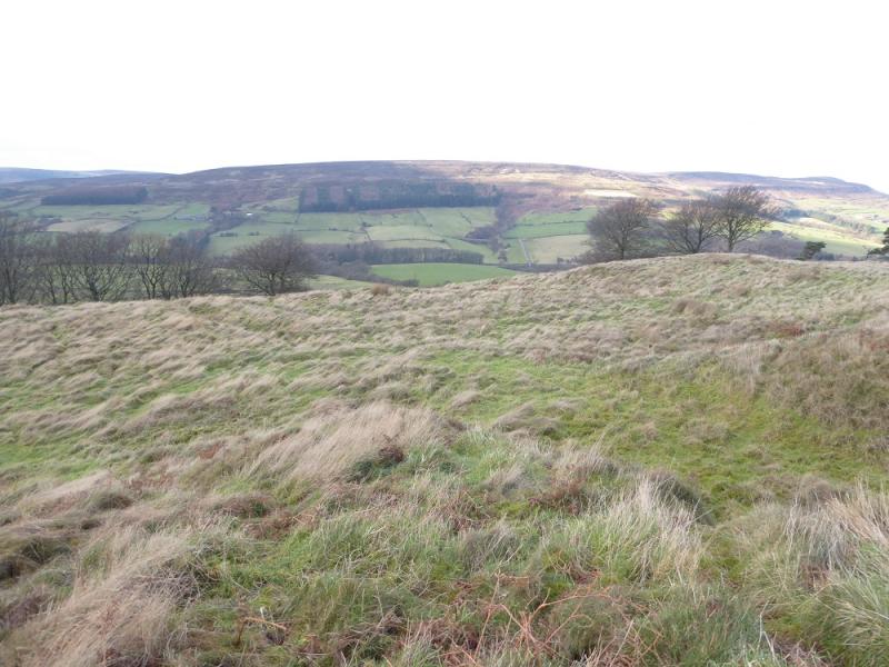
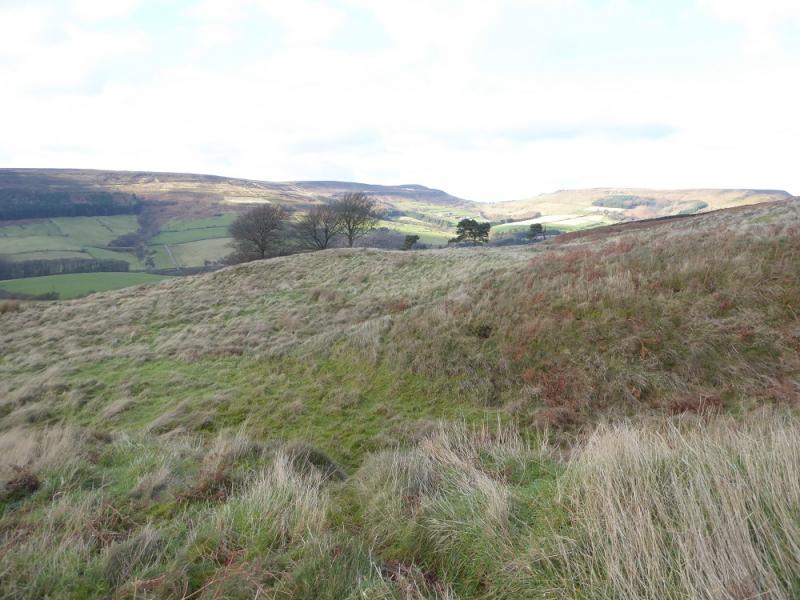
The North Yorkshire Moors covers a large area and is mainly moorland, ridges and a few distinctive peaks. Round Hill, sometimes called Urra Moor, is the highest point in the North Yorks Moors. Much of this route is on good tracks or paths apart from the initial ascent up Cold Moor Lane from Chop Gate which is very muddy. On a clear day, there are good views to Roseberry Topping, Captain Cook's Monument and beyond. The higlight of the walk is the Wainstones, probably the rockiest outcrop in the whole of the national park.
Route
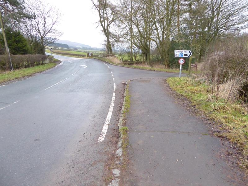
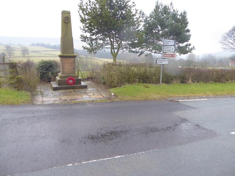
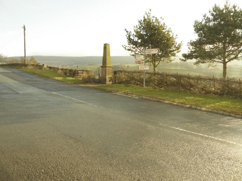
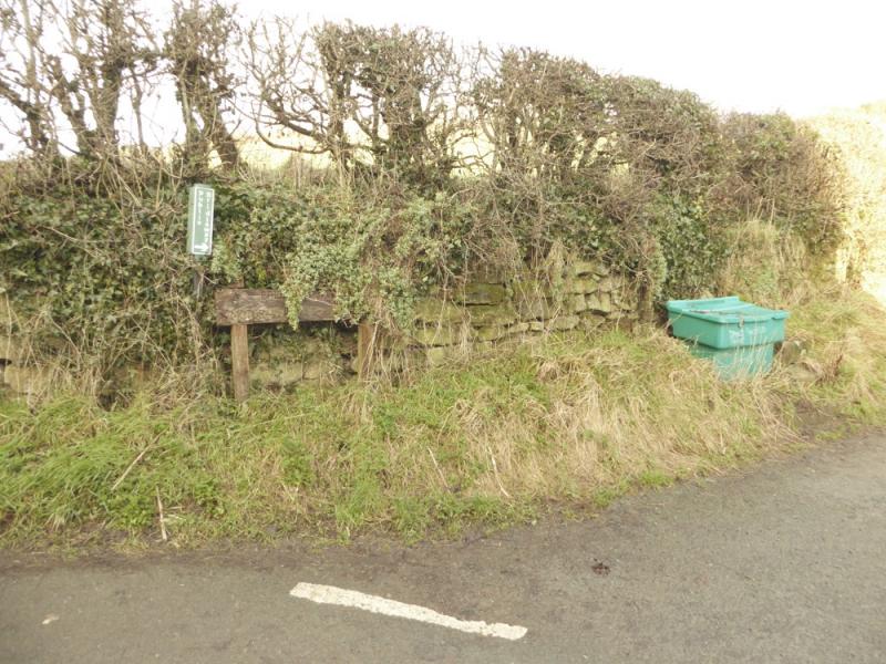
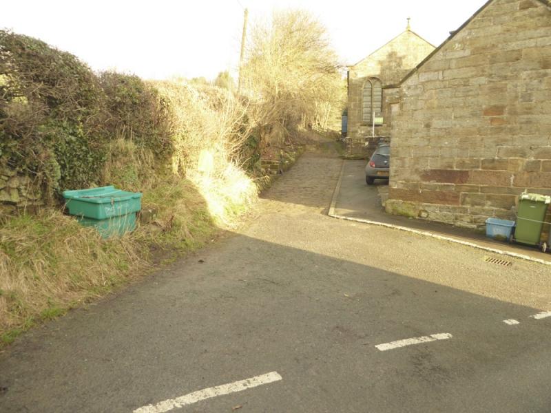
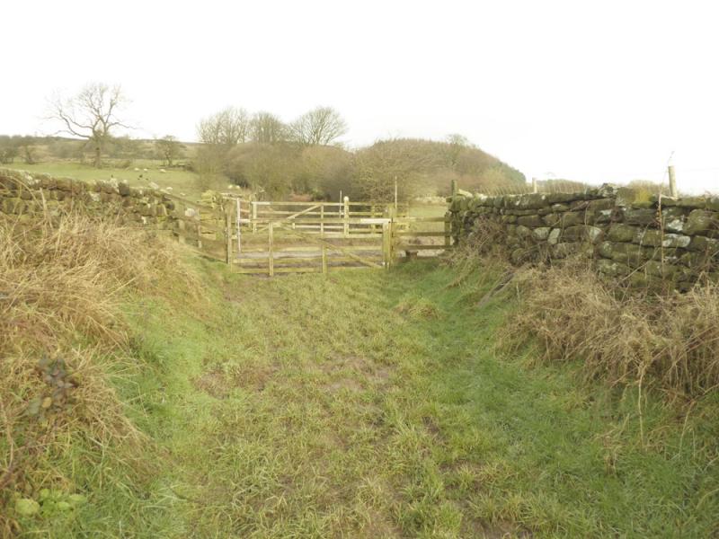
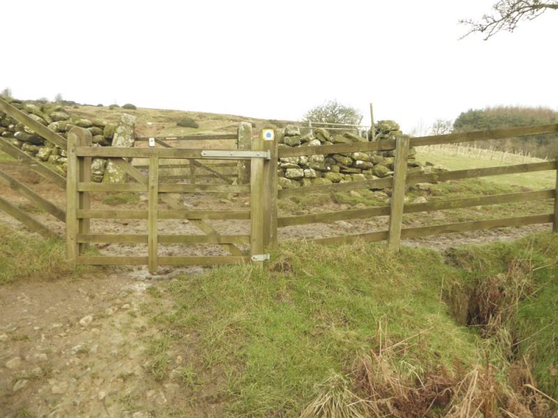
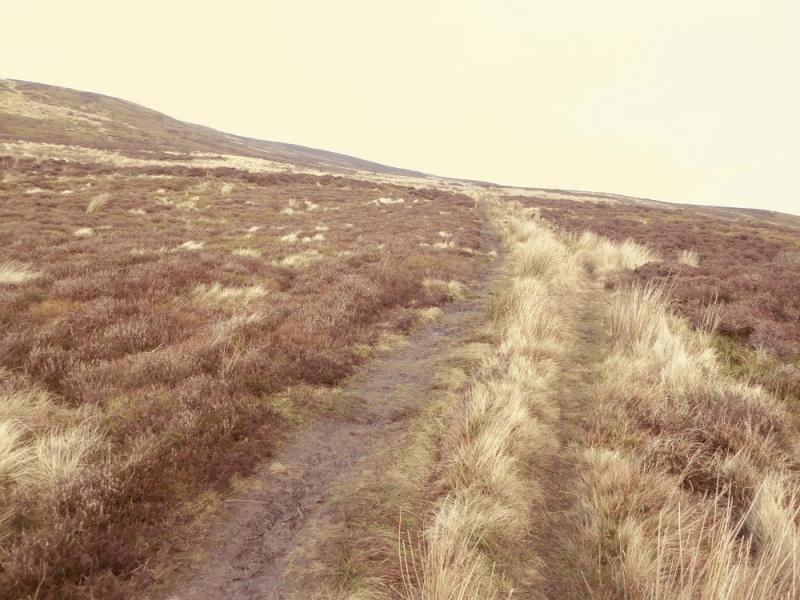
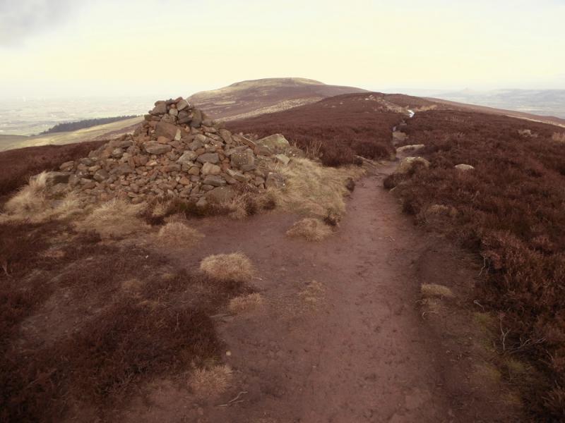
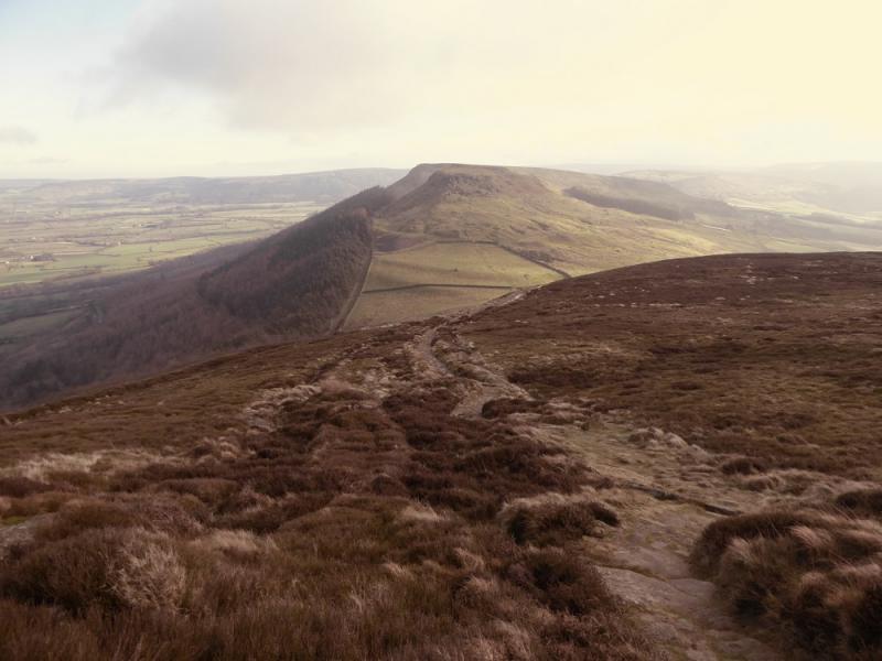
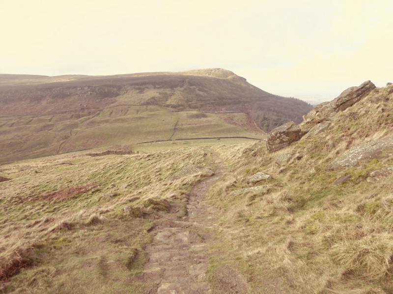
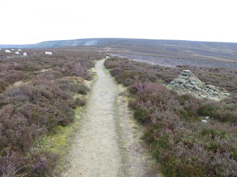
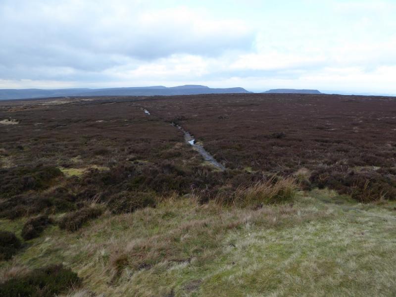
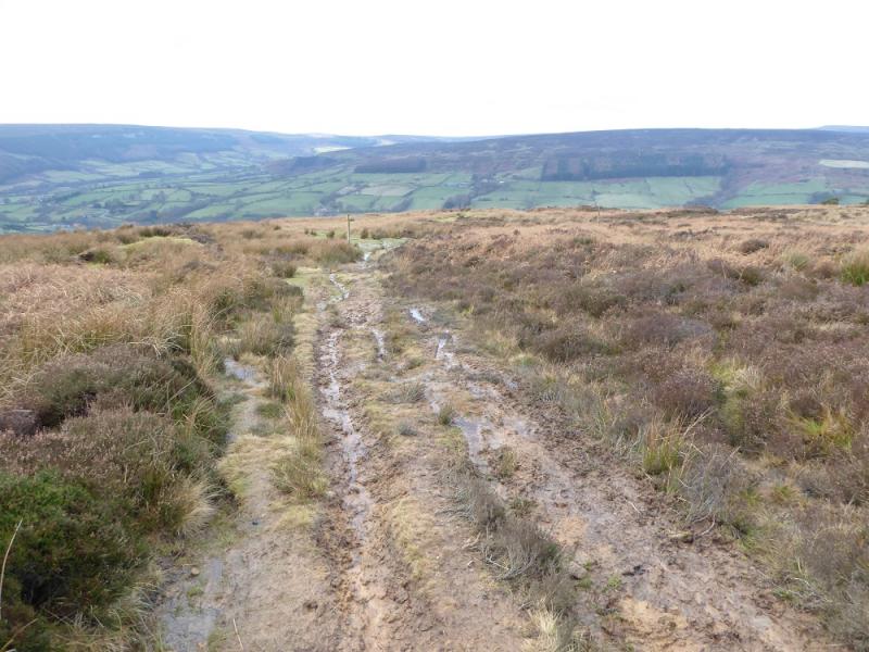
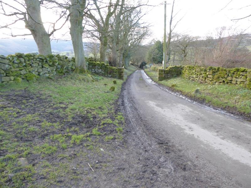
(1) Come out of the car park and turn left, N, up the main road. Go through the village. At the War Memorial after the school turn left on to the minor road for Carlton. Immediately go right on the footpath behind the houses. Follow this path up – it is very muddy in places – to reach open country. Continue, curving round to the right above the obvious wood. The path gradually widens to a track but is very muddy in places. Eventually, it joins another track on the crest. Walk north along the crest and pass the medium cairn which seems to mark the highest point on the central section of Cold Moor. Later on, the track becomes a narrow path through the heather but soon reaches the highest point which is Cold Moor N Top, 402 m. Nothing marks the highest point but straight ahead is a cliff!
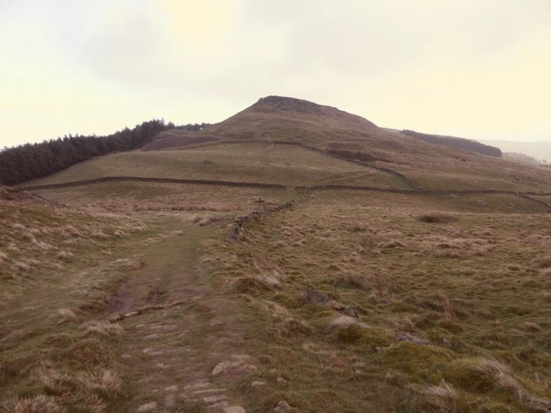
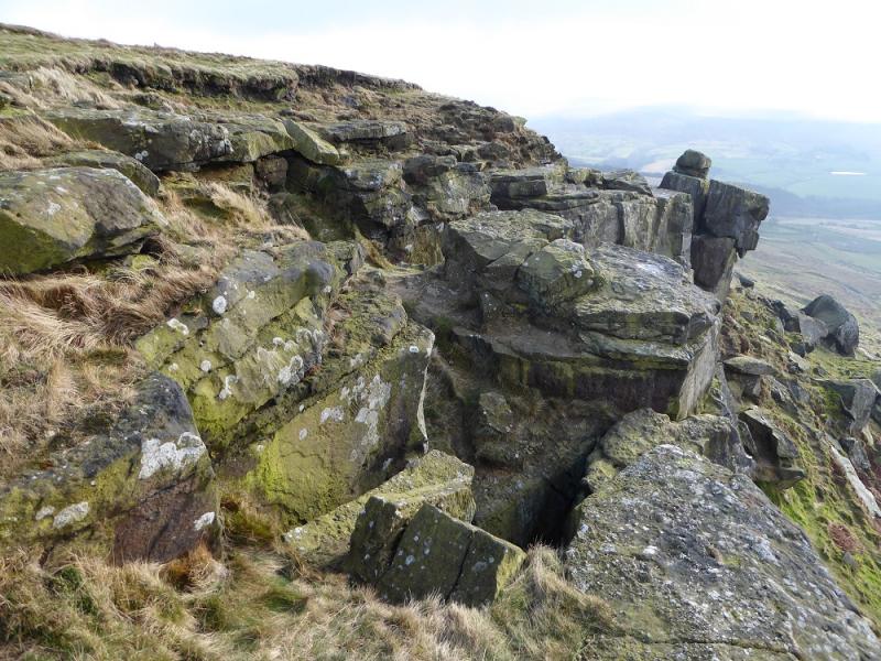
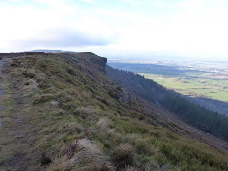
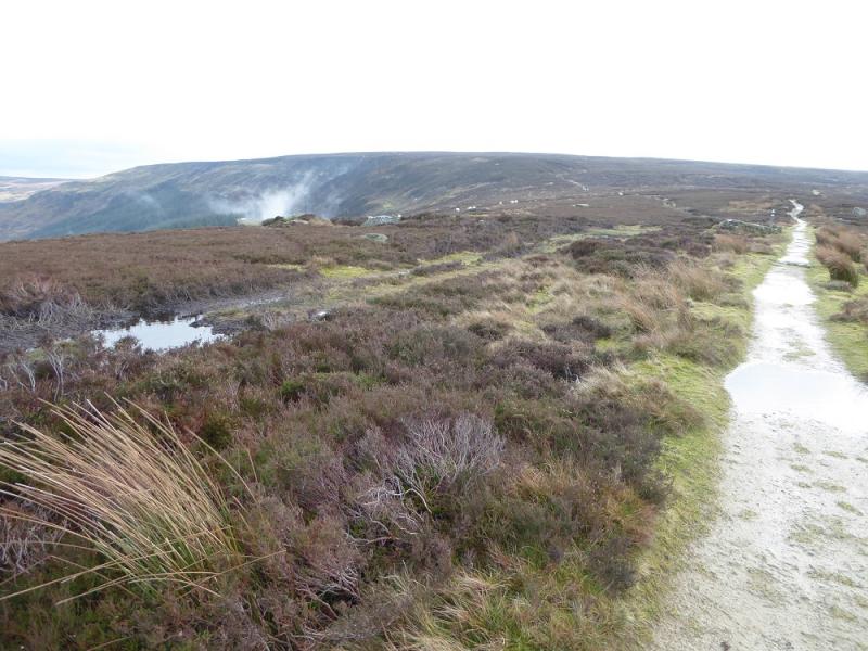
(2) Turn right, East, and follow the path, Cleveland Way, down to the col known as Garfit Gap. Continue up the other side and soon reach the Wainstones where there are several prominent pinnacles. There is a choice of routes through which are fairly easy. Scrambles and climbs are available for those who want them. Further on, the highest point is reached which is White Hill/Hasty Bank, 398 m. Nothing marks the highest point. Note the sheer drops to the left, north.
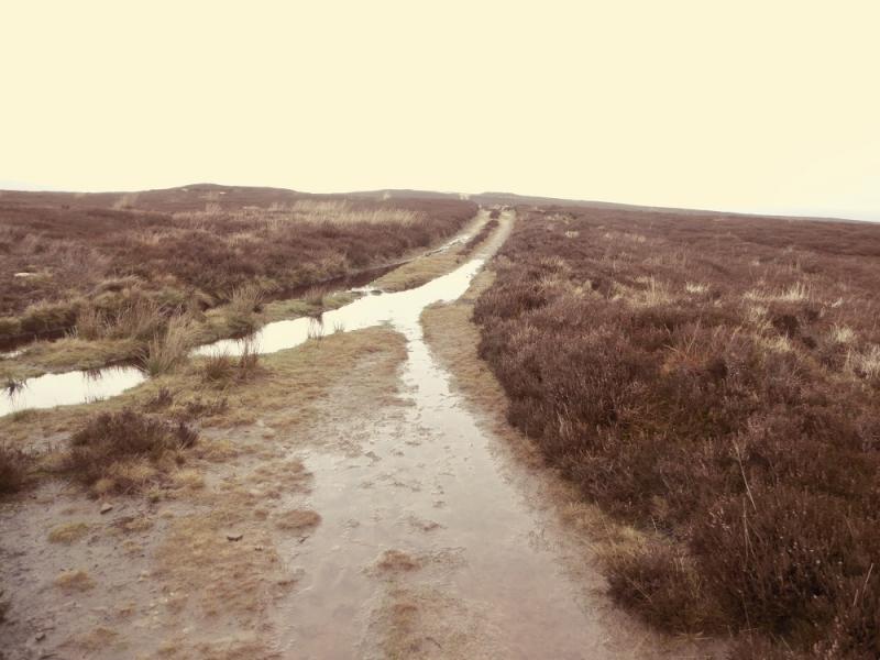
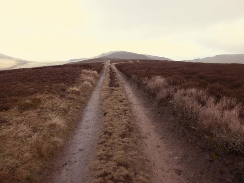
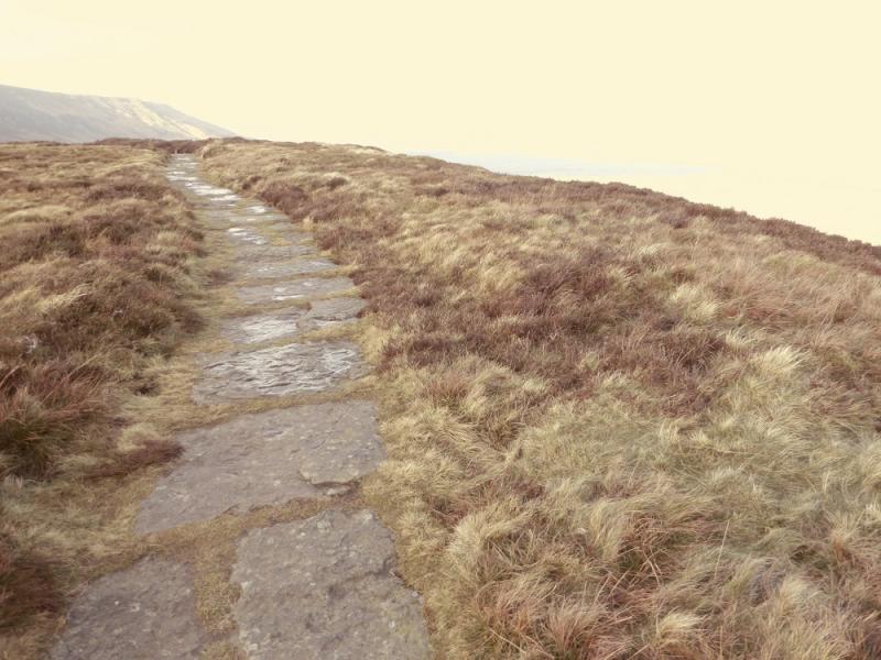
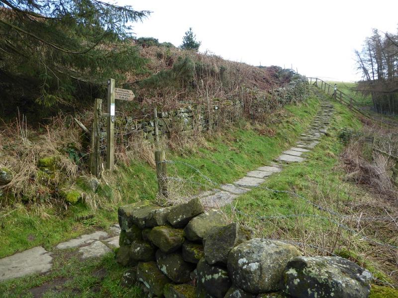
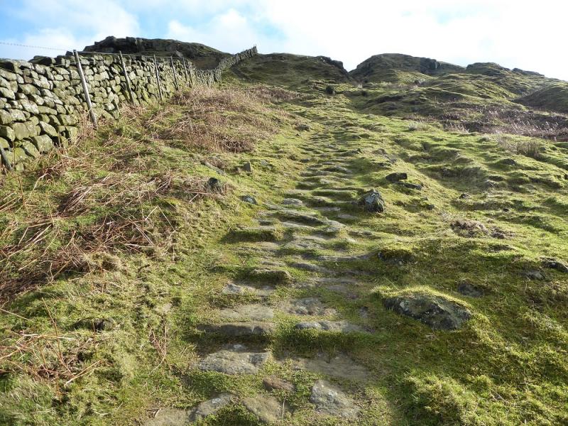
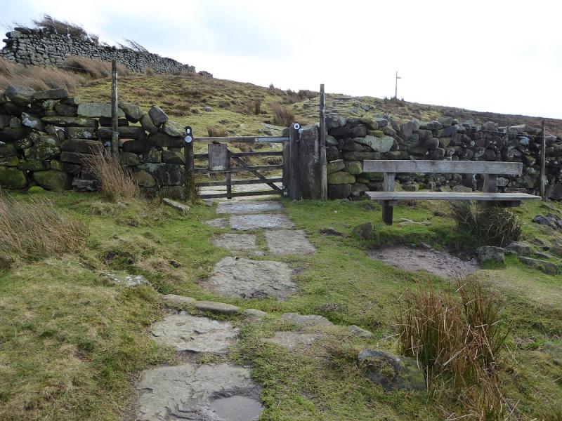
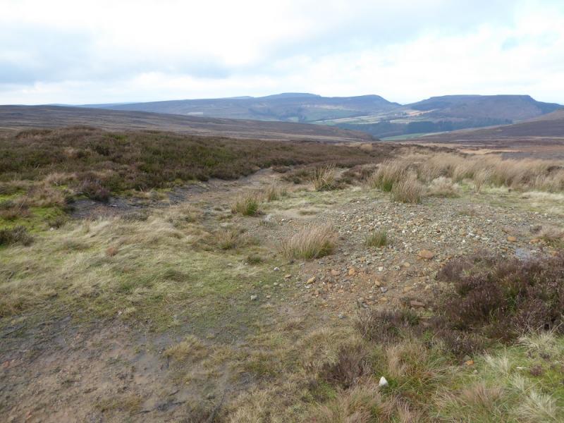
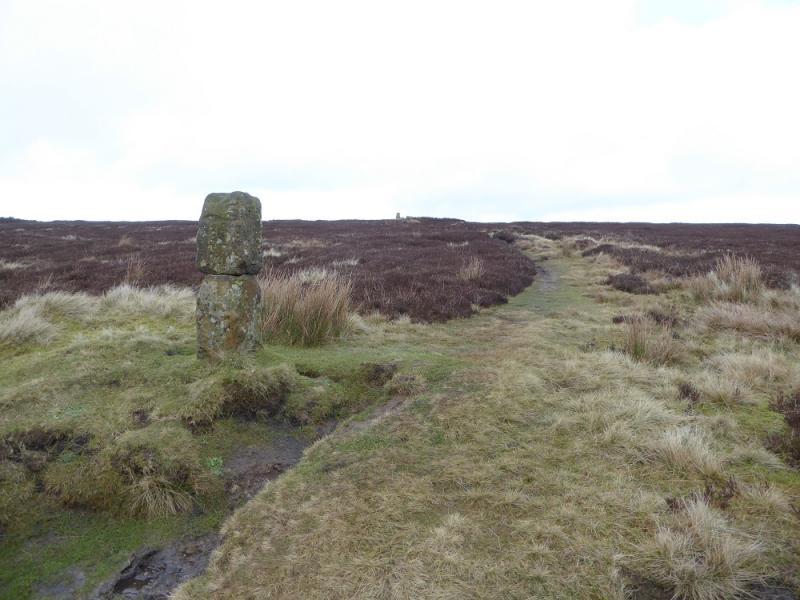
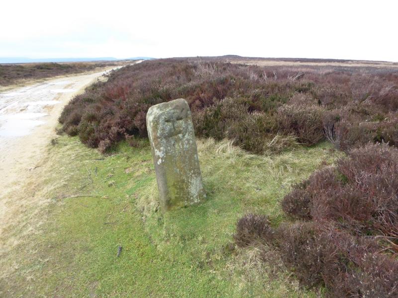
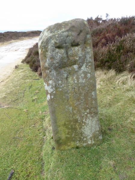
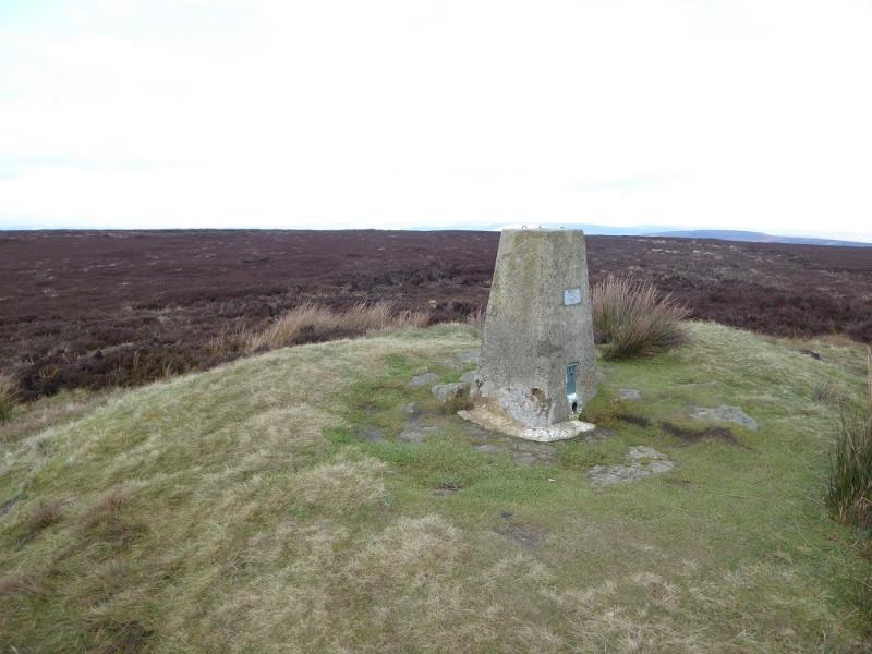
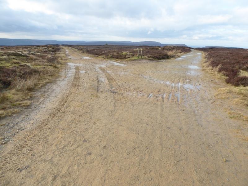
(3) Continue along the path, still the Cleveland Way, and descend to the road, finishing down some steps. Cross over and start ascending up the path for Carr Ridge and Round Hill. The sign post says Bloworth Crossing which is beyond Round Hill. This is still the Cleveland Way. The path climbs steeply in places but the gradient eases after a gate with a notice warning of the descent if coming the other way. Continue past the gate on the path which eventually becomes a track after a left turn. Follow the track up until it meets another similar track. In clear weather, the summit trig point will be seen from here. Continue to a stone “post” with a path going off to the left towards the summit. This stone has been called the Hand Stone but it is now too eroded to see an obvious hand on it. If you continue about 200 m further on the track, you will reach a similar stone which is the Face Stone. On one side of it, there is a crude face etched in. Return to the Hand Stone then tajke the path to the trig point which marks the highest point on Round Hill, 454 m.
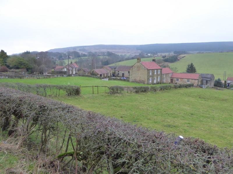
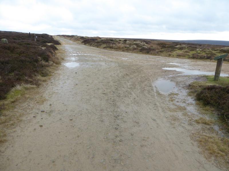
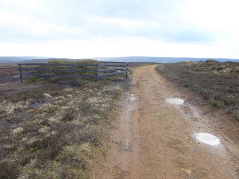
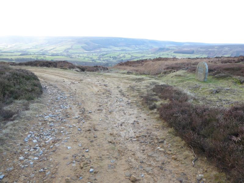
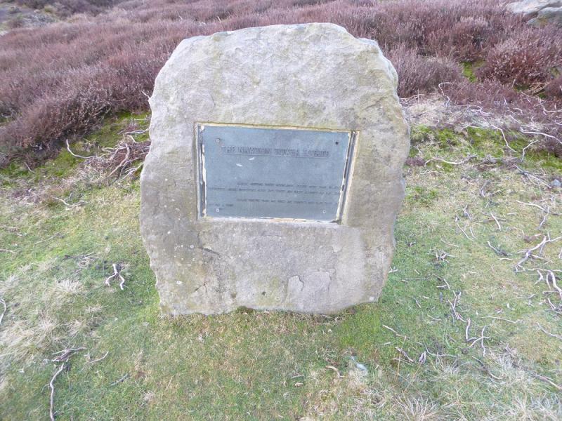
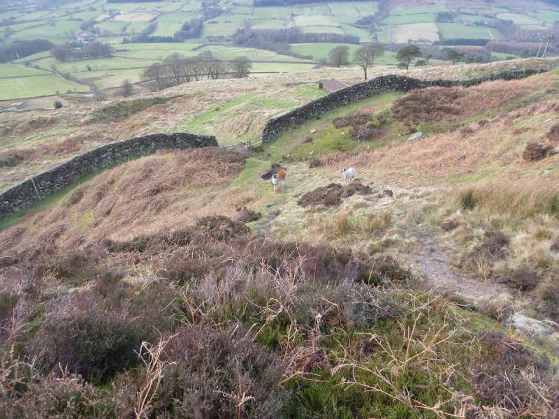
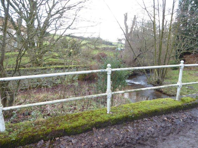
(4) Return to the track and retrace to the track junction. Take the left fork and follow it for about 2 km until some grouse butts are passed. Continue to the last grouse butt with a plaque close by. The track turns left here but the descent path is straight ahead on a path which has some muddy sections. Lower down, there is a “triangle” of sign pots. Go through the middle of them and take the path ahead and down to the old workings to reach a gate after which there is an old building. The path becomes a track here which can be followed down to the minor road at Bilsdale Hall. Turn left and follow the minor road down to the main road. Turn left and walk back to Chop Gate.
Notes
(a) This walk took place on 4th February, 2017.
Photos - Hover over photo for caption. Click on to enlarge. Click on again to reduce.