Get Lost Mountaineering
You are here: England » North Yorks Moors & Coast
The Head of Farndale from Low Mill
The Head of Farndale from Low Mill
Start/Finish
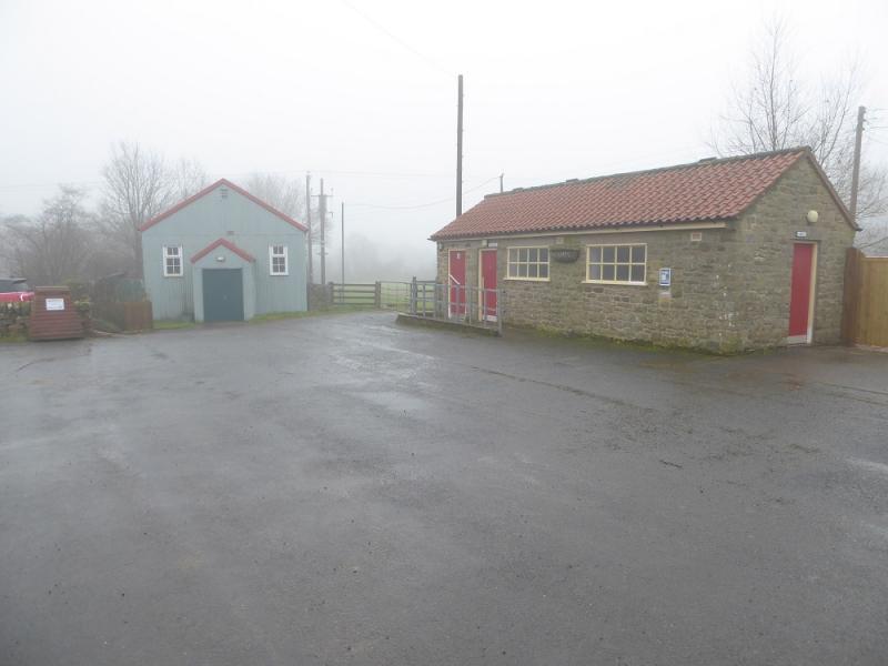
Car park in Low Mill where there also toilets. Low Mill can be reached, from the south, by following minor roads from Hutton le Hole. From the north, the Castleton to Hutton le Hole road can be left just east of the Lion Inn. For the few who swear by Sat Nav (the rest of us swear at it!) the post code is YO62 7UY.
Distance/Time
20 km. About 6 – 7 hours.
Peaks
No peaks as this is mainly a ridge walk but the highest point reached is just over 400 m on Rudland Rigg.
OL 26, 1:25 000, North Yorks Moors Western Area.
Introduction
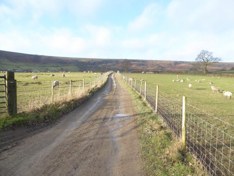
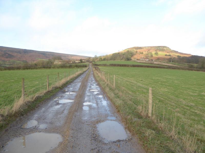
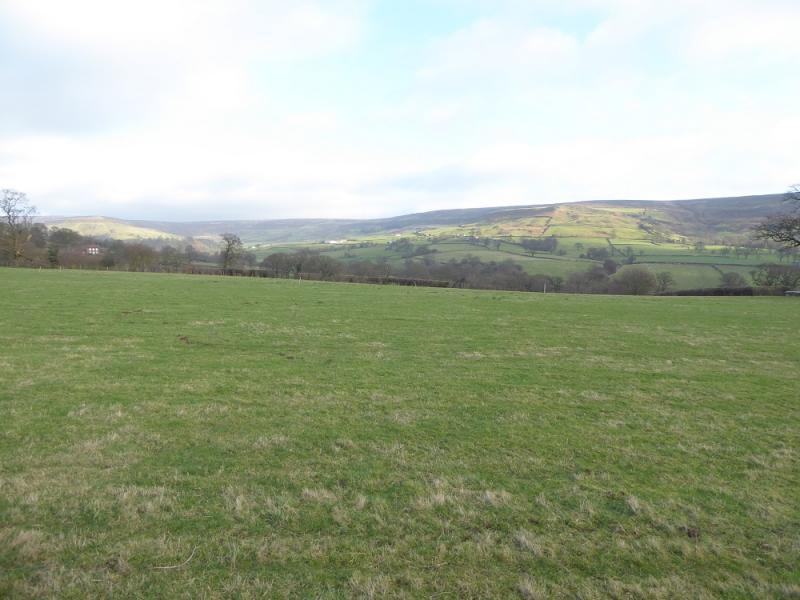
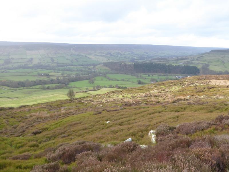
The North Yorkshire Moors covers a large area and is mainly moorland, ridges and a few distinctive peaks. This walk essentially goes around the head of Farndale. The routes on the ridges are easy to follow as they are distinctive tracks. The paths up and down though can be difficult to follow in places and may be quite boggy especially on the return which goes through several farms. On the day in question, thick fog covered the area meaning no views but on a clear day there is the potential for some fine views indeed. The walk was repeated two days later in clear weather.
Route
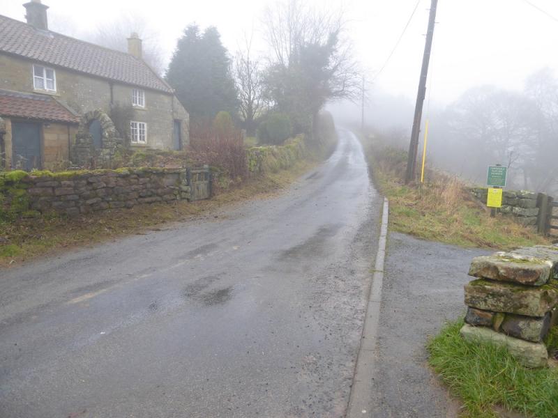
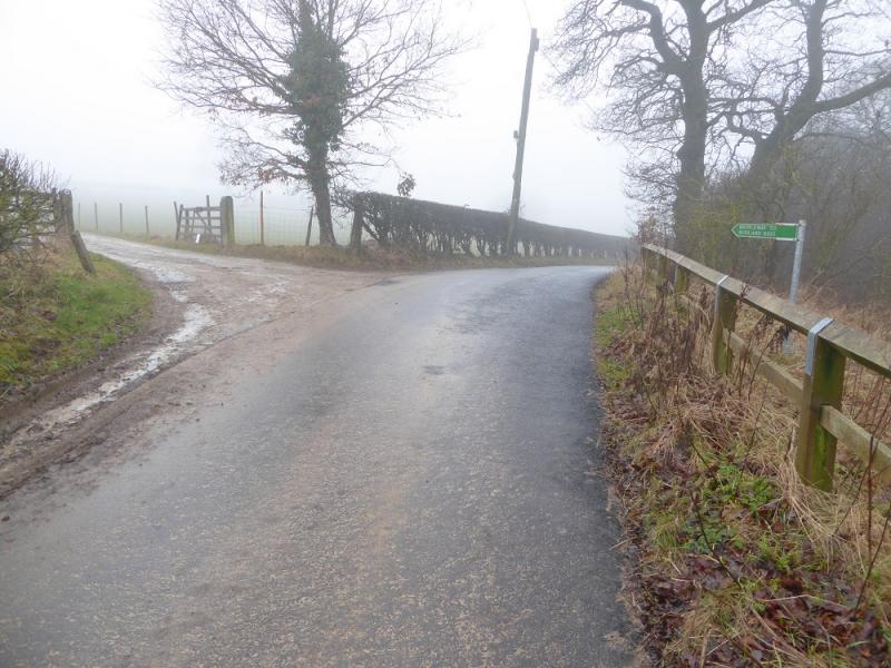
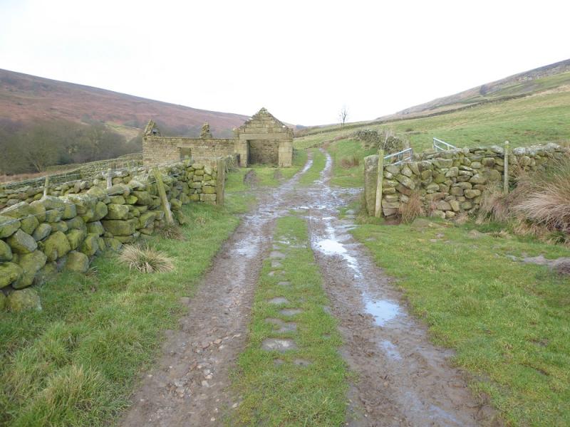
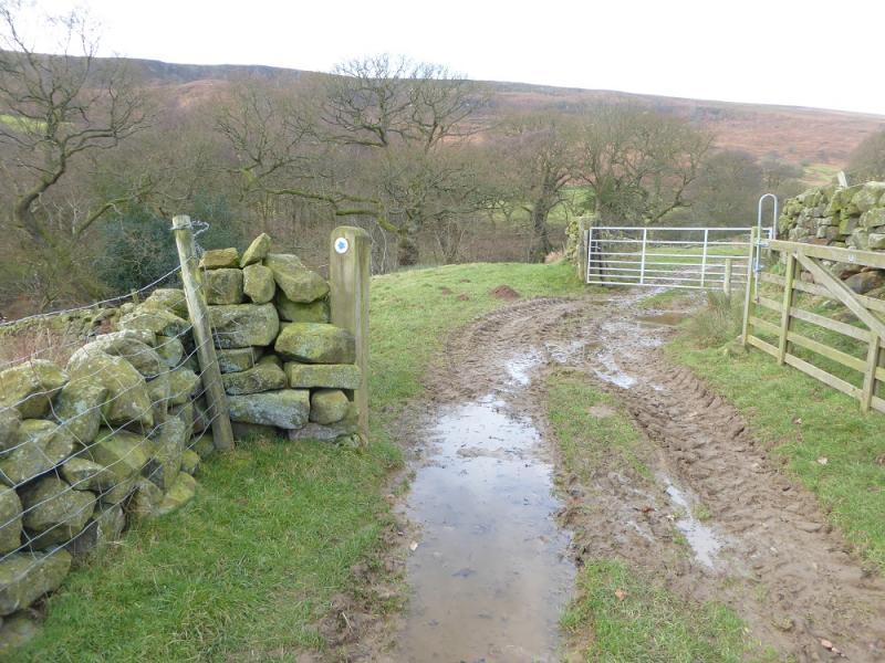
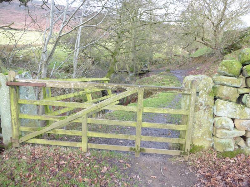
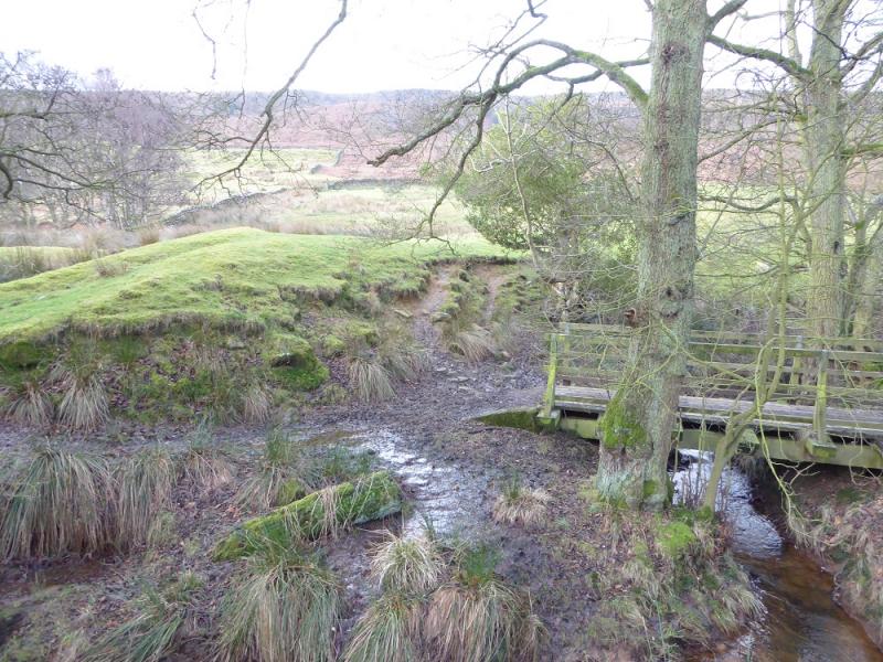
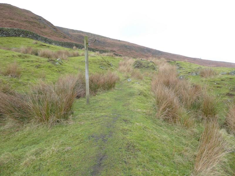
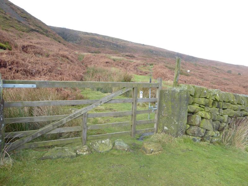
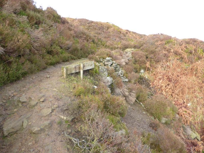
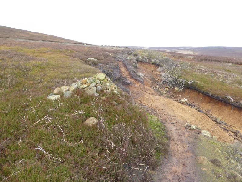
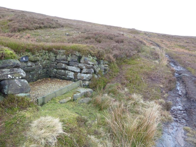
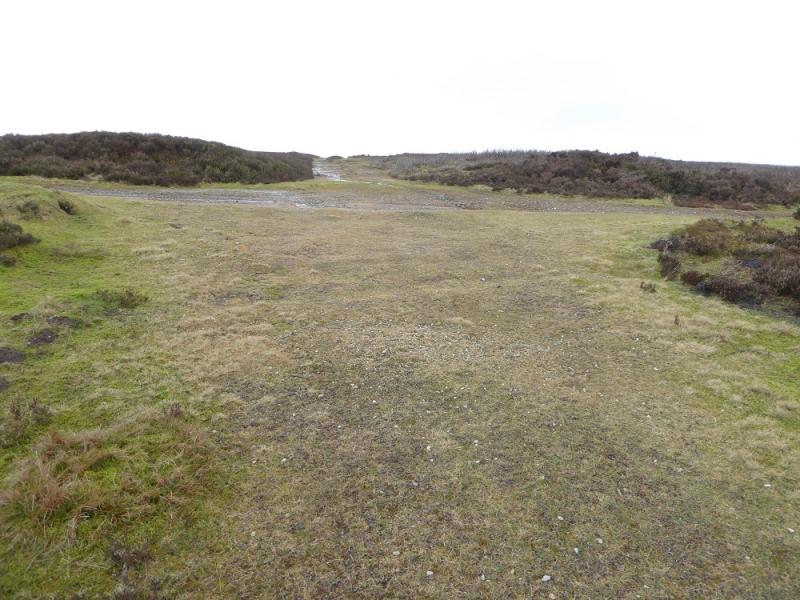
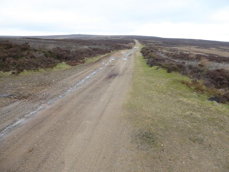
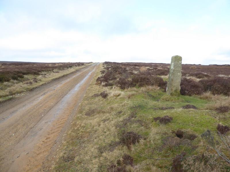
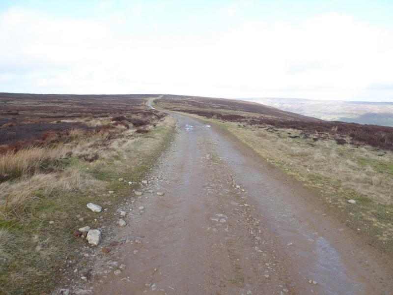
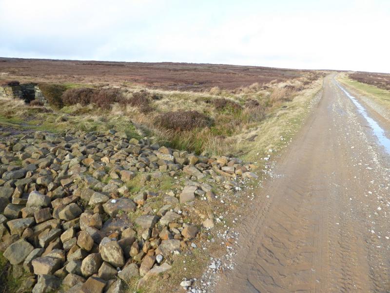
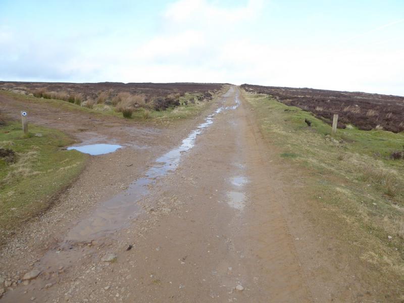
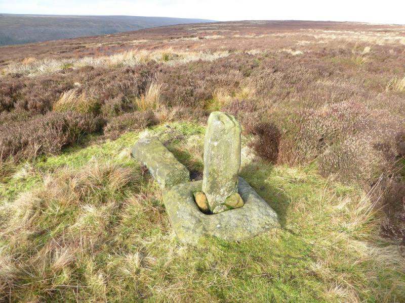
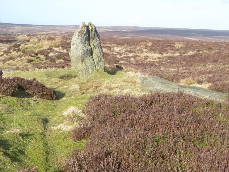
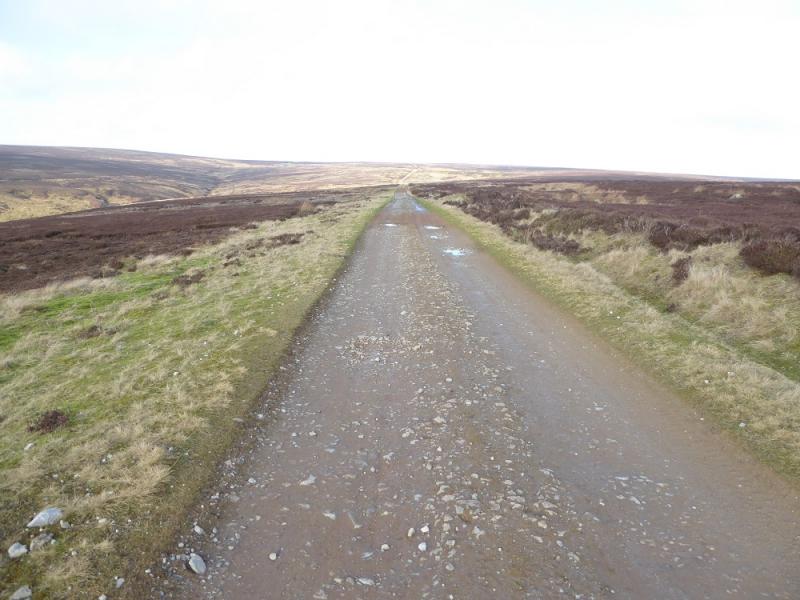
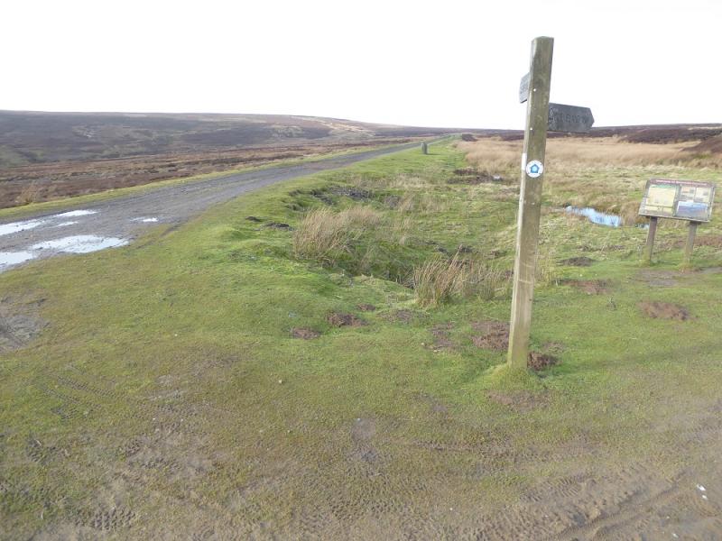
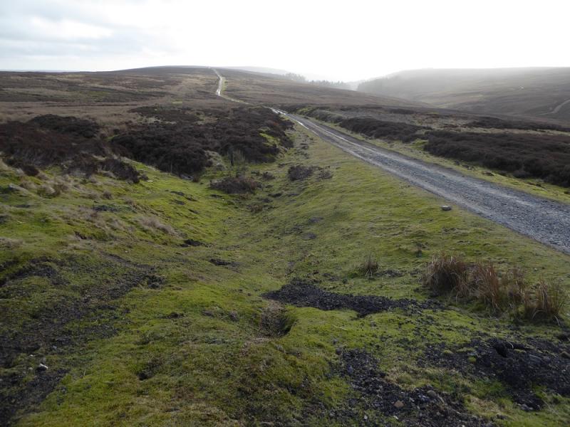
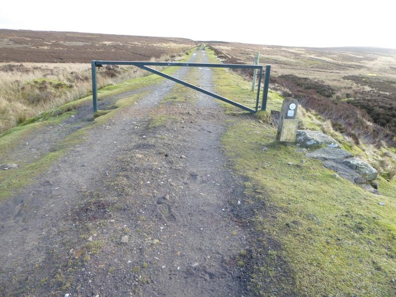
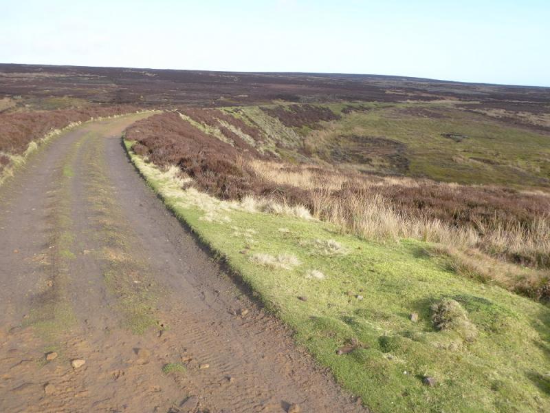
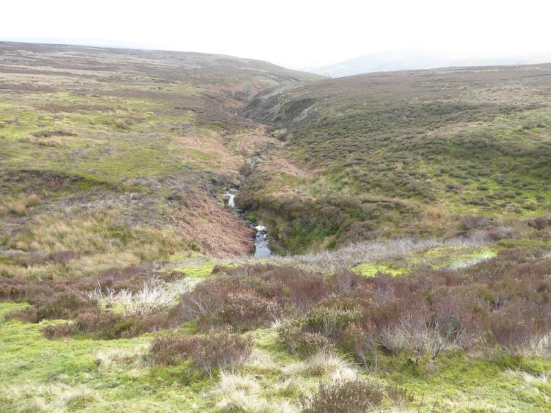
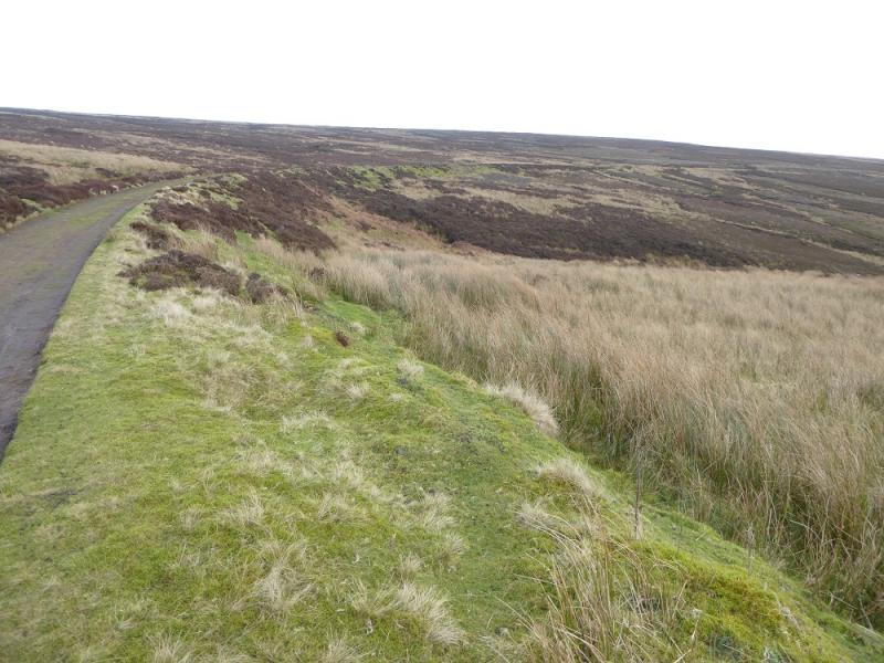
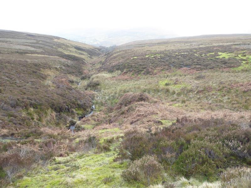
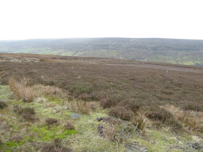
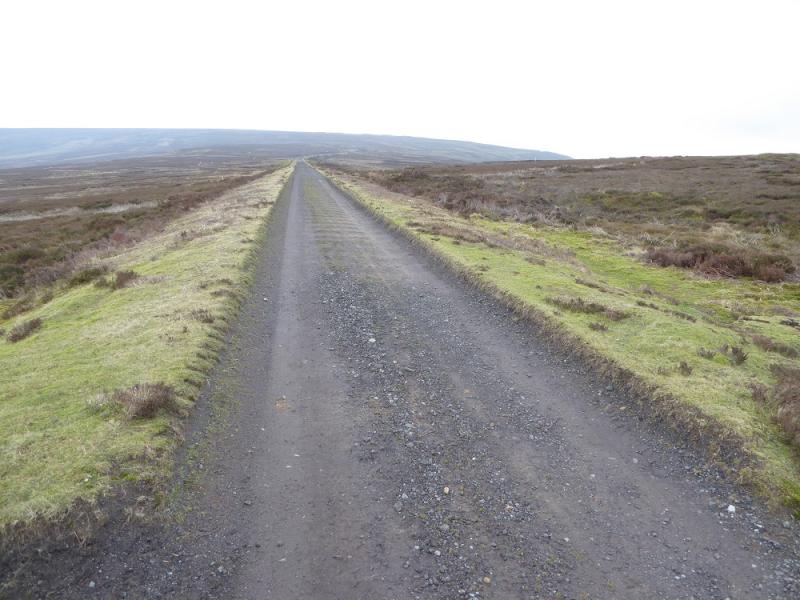
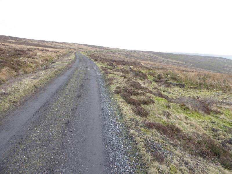
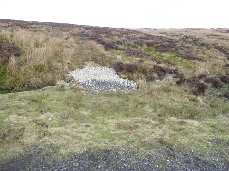
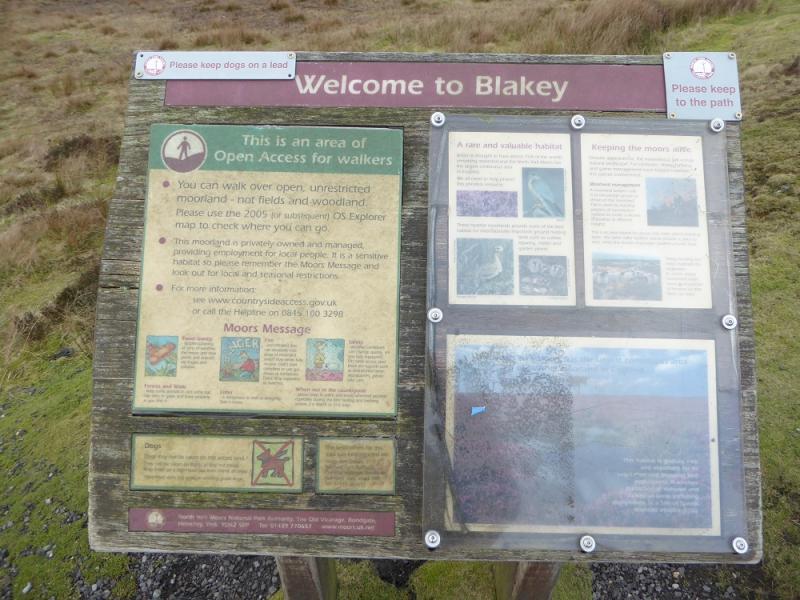
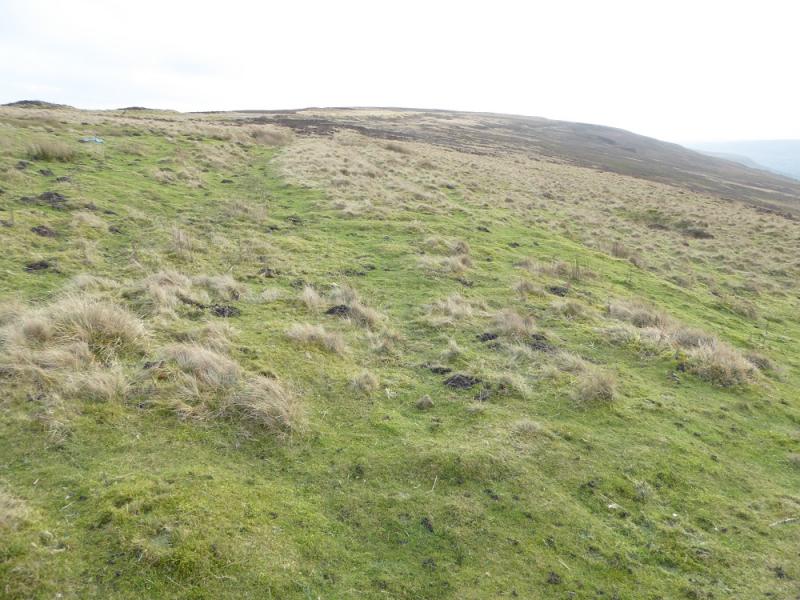
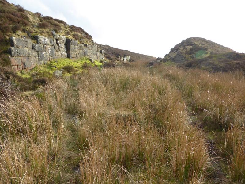
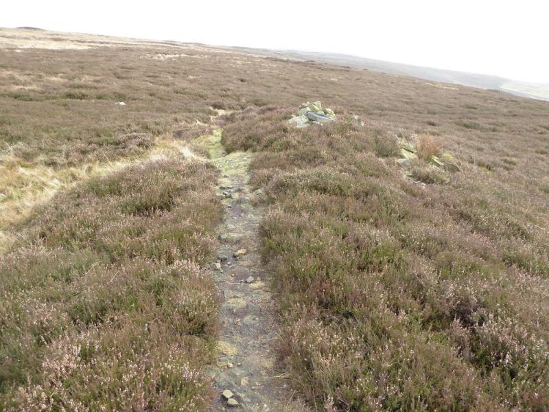
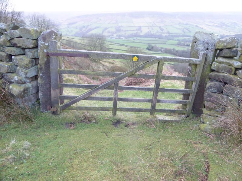
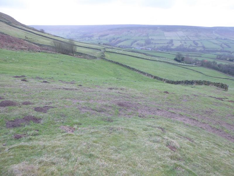
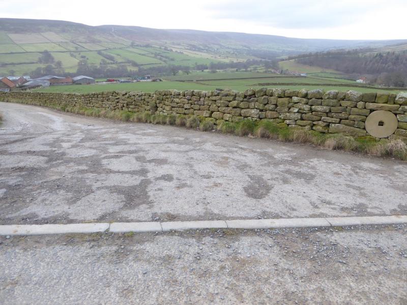
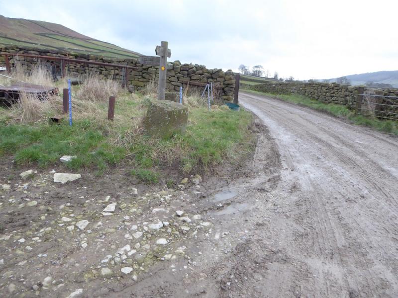
(1) Continue up the road above the car park for about 400 m then take the signed bridleway for Rudland Rigg. Follow this to Horn End Farm where the bridleway appears to split; take the left fork and continue past the ruin at High Barn. Soon after the track goes through a gate. Do not enter but stay on the left of the wall (no obvious path) and continue to the bridge over West Gill Beck. It is easy to go wrong after crossing the bridge so follow the wall WSW to soon reach a gate where the path becomes more obvious and goes roughly SW before turning NNE. The path is narrow and boggy in places before reaching some grouse butts (number 8). By the time number 1 is reached, the path is a track so stay on that to reach the main track along Rudland Rigg at an obvious crossroads. Turn right, N, and follow the very obvious track. Cockam Cross is about 2.5 km N but is off to the left and may not be seen in mist. The best way to find it is to take the track, which is a reverse fork on the right, for about 100 m. Look for a low stone post off to the right which is what remains of the cross that sits in a square base. About 1 km further is the Cammon Stone which is a standing rock flake. Another 2 km takes one to Bloworth Junction, crossed by the dismantled railway.
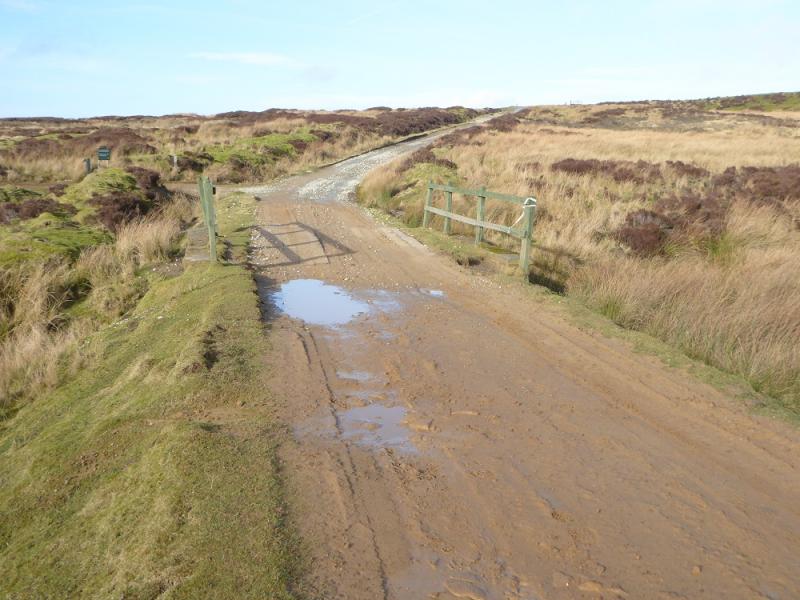
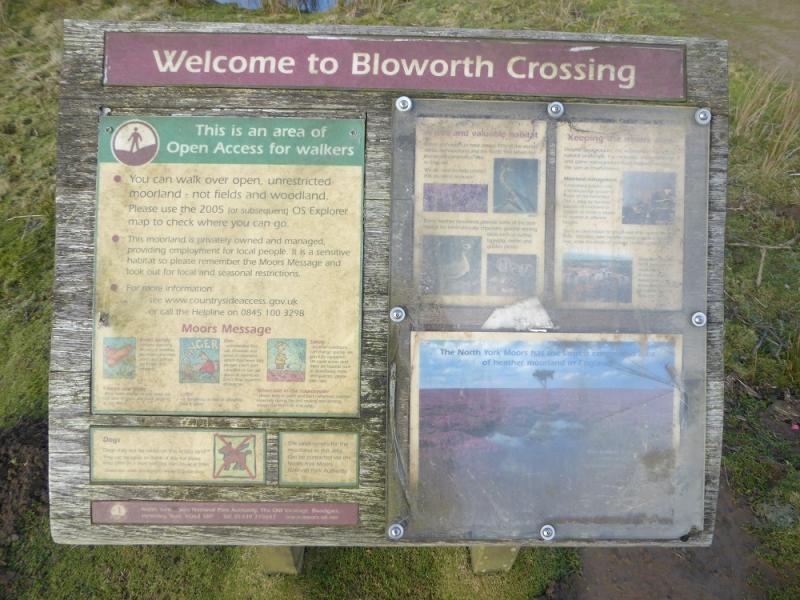
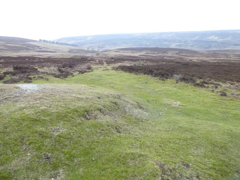
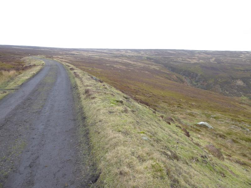
(2) Go SE from Bloworth Junction along the cinder trackbed of the dismantled railway. Follow the meandering trackbed for about 8 km, soon crossing two curving earth “viaducts” to reach a minor road not long after passing through a metal gate. The trackbed actually crosses to the other side of the main road which is a short distance uphill from the minor road. There are good views from the main road so it is worth the short diversion. The Lion Inn is about 600 m N!
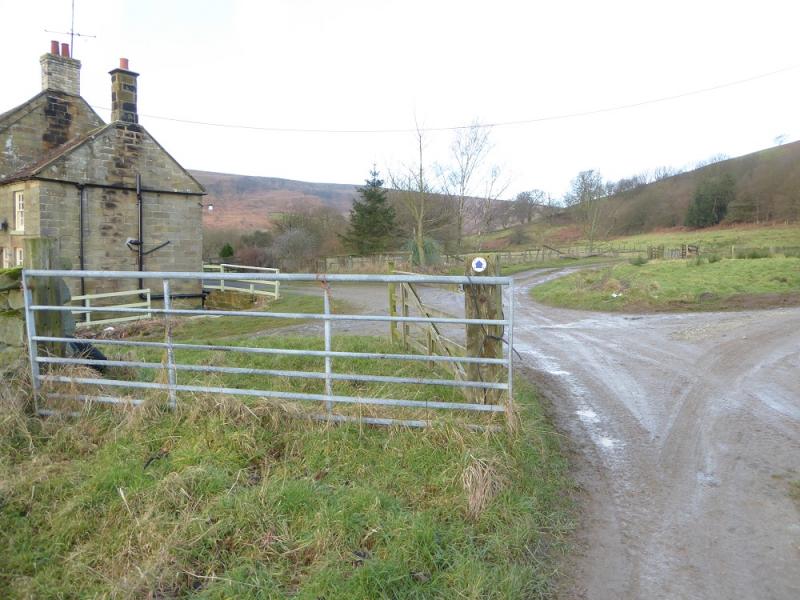
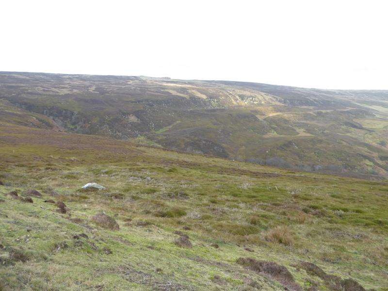
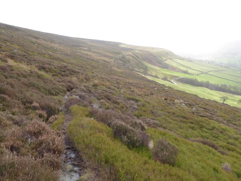
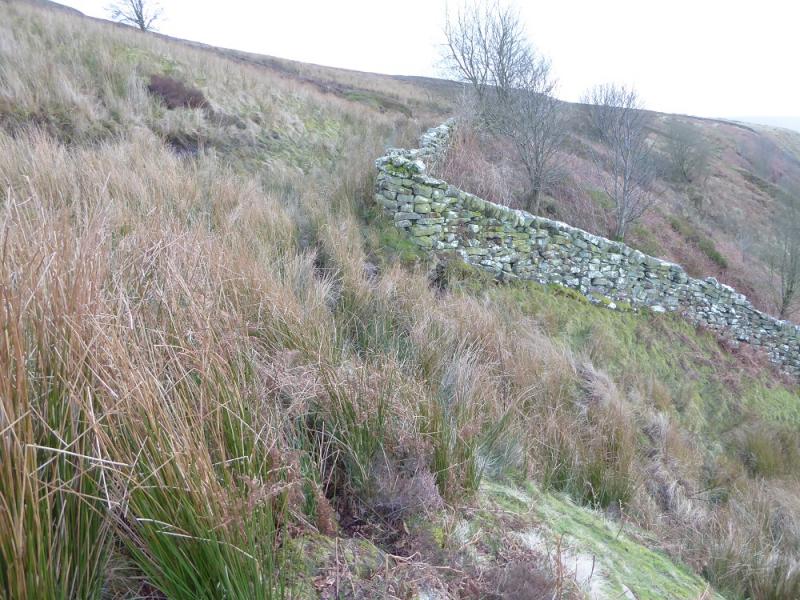
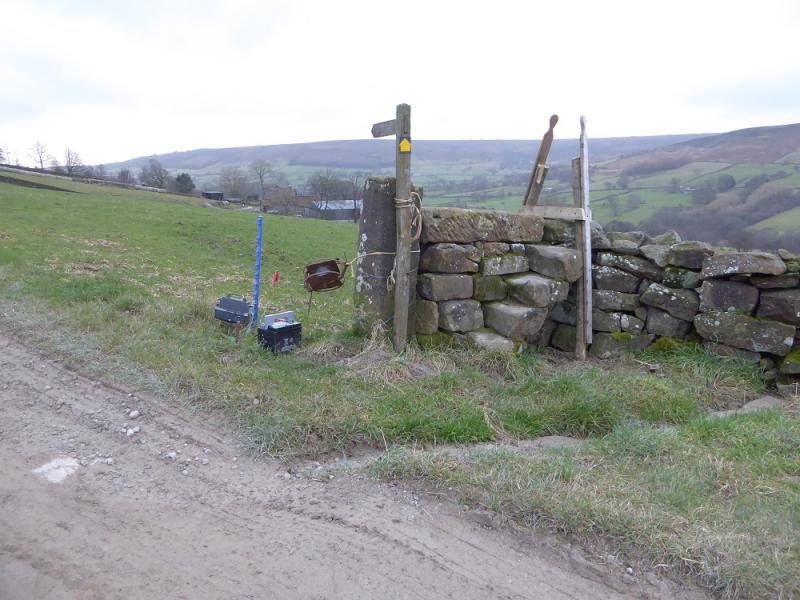
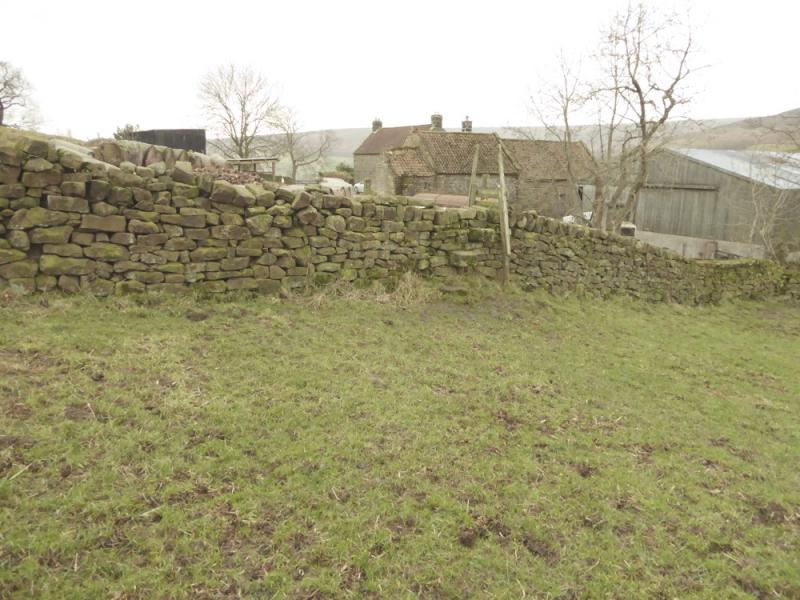
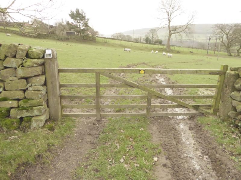
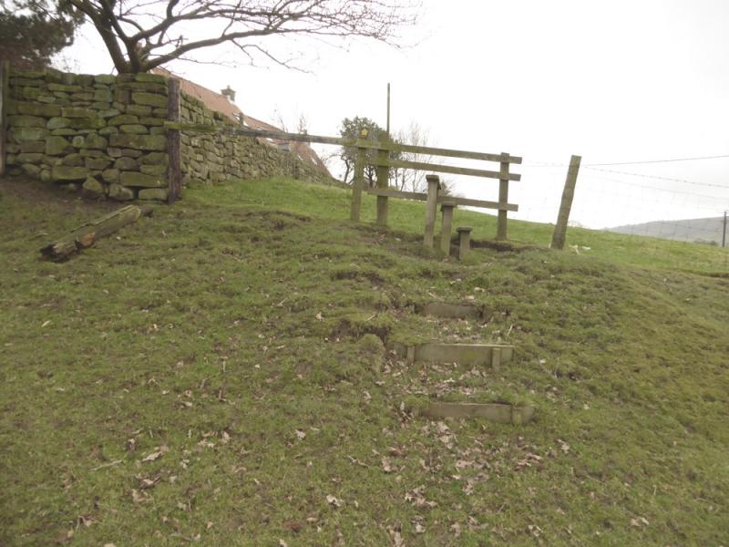
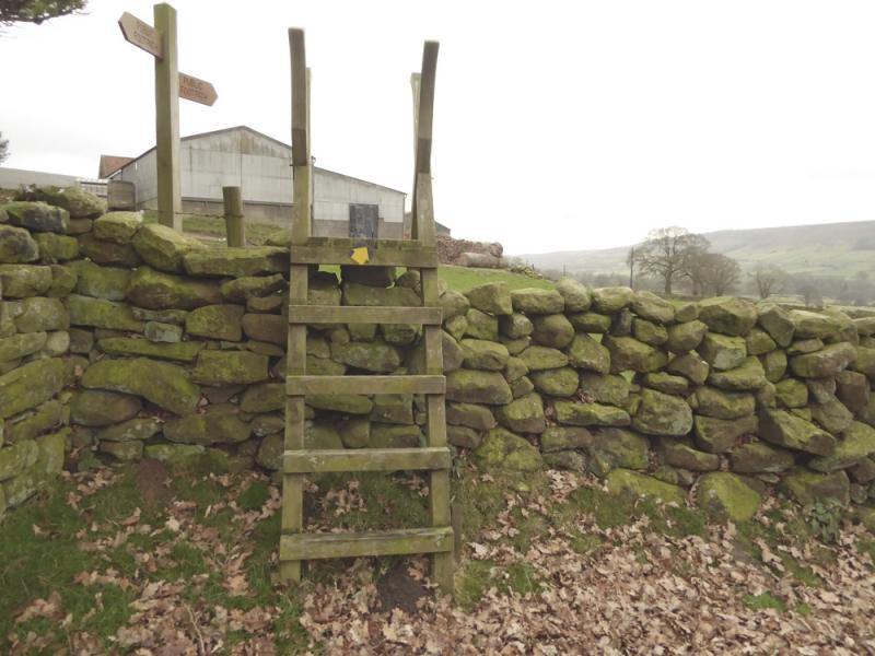
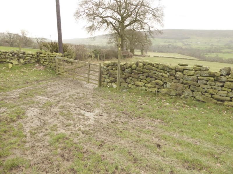
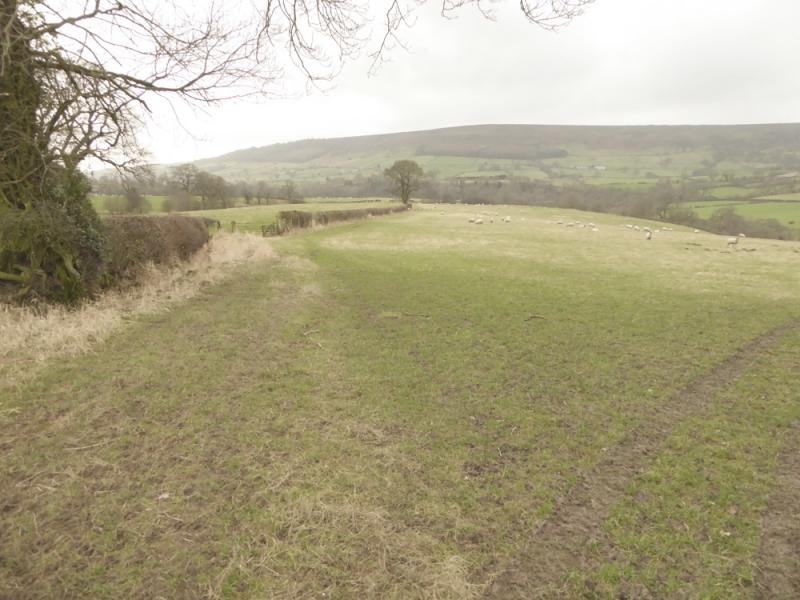
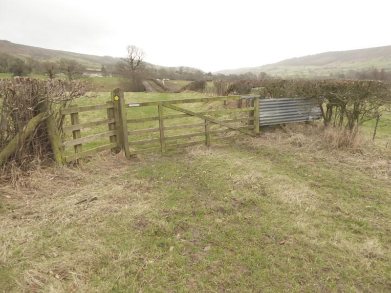
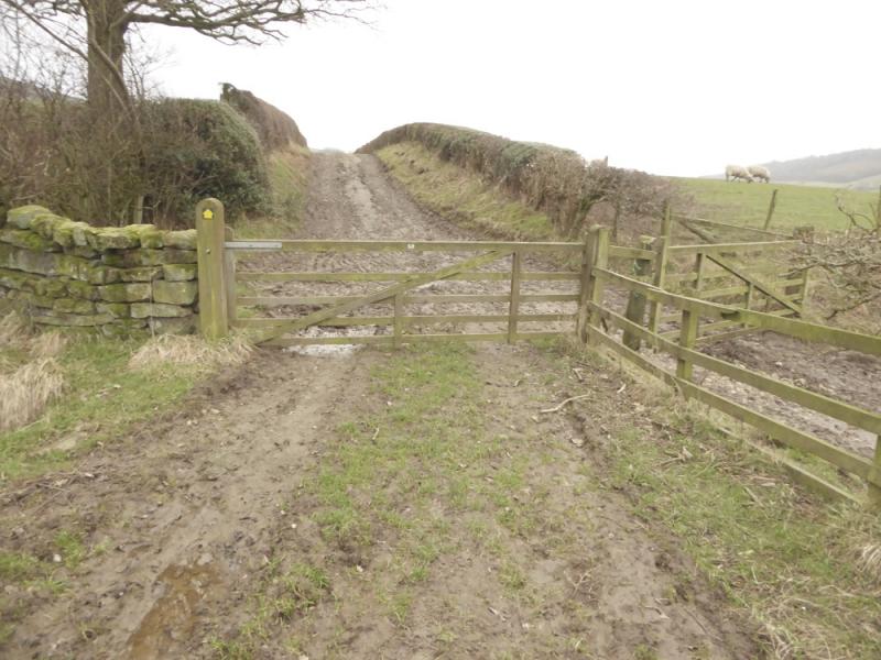
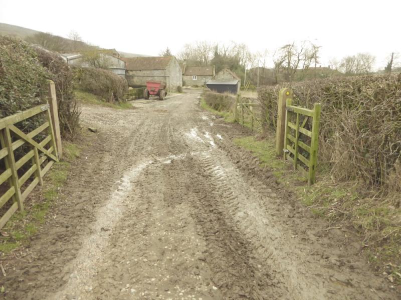
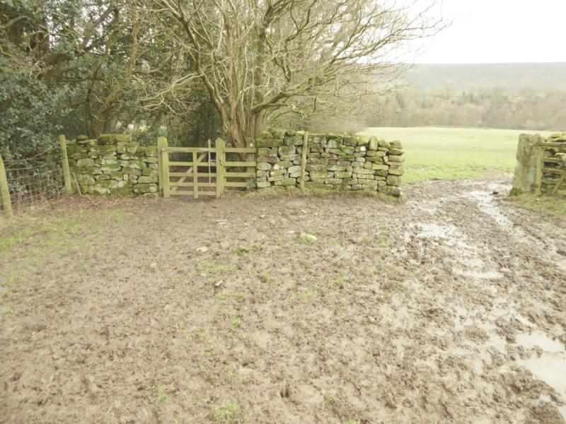
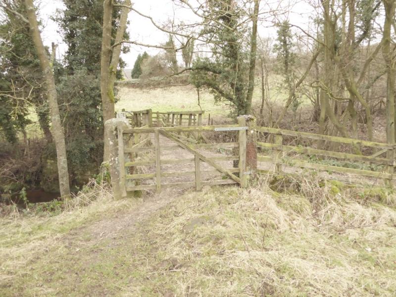
(3) Return to the end of the trackbed and cross the minor road as if going straight on. There is a faint path which can be followed through the old workings. Further on, the path goes right after a cairn. Continue following the path which is faint in places. Aim for the outside corner of a high wall. Follow the wall a short distance then go through a gate and descend to a rough track below. Turn left and follow the wall to the road opposite the entrance to High Bragg House/Cottage. Take the track past the house and reach Bragg Farm. Go left here on the track which is soon left for a footpath. There are arrows all the way from here back to the car park and take one past Bitchagreen, Cote Hill and High Wold Houses. The path can be very muddy in places and some arrows are not obvious. A bridge is crossed just before the car park.
Notes
(a) This walk took place on 1st February, 2017, in very thick mist, then on 3rd February in clear weather.
Photos - Hover over photo for caption. Click on to enlarge. Click on again to reduce.