Get Lost Mountaineering
You are here: England » North Yorks Moors & Coast
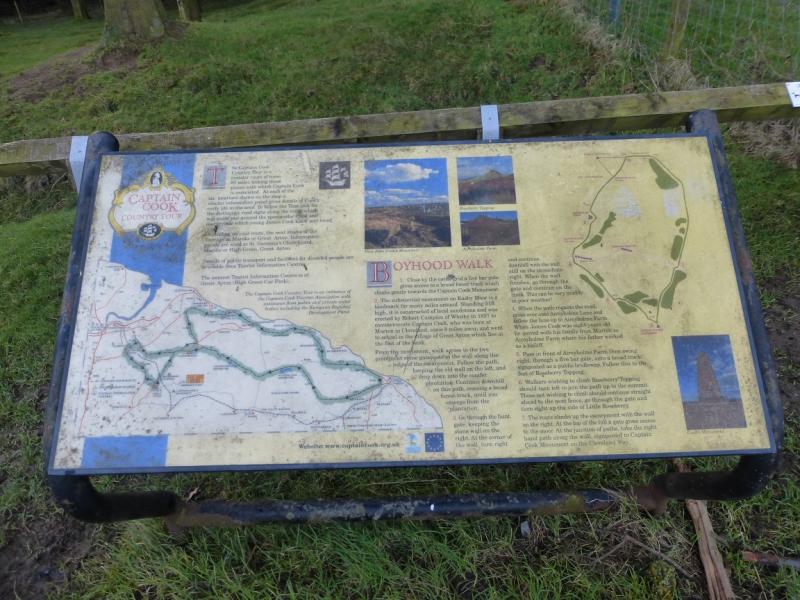
Captain Cook's Monument & Roseberry Topping from Great Ayton
Captain Cook's Monument & Roseberry Topping from Great Ayton
Start/Finish
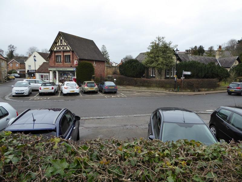
Centre of Great Ayton village which lies between Guisborough and Stokesley. There is plenty of free parking around the village although this may be hard to find during the summer season in this picturesque and popular village.
Distance/Time
11 km. About 3 – 4 hours.
Peaks
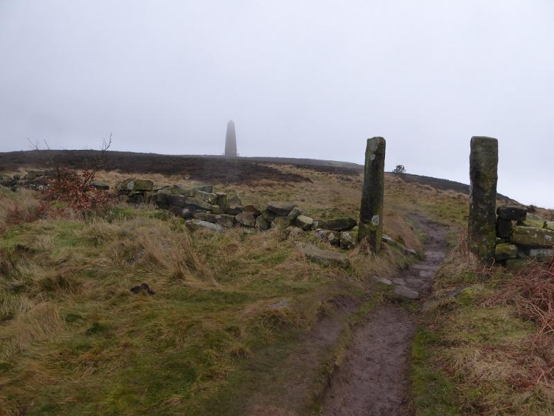
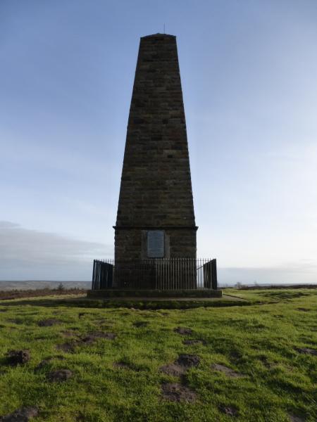
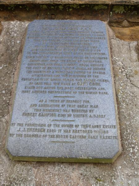
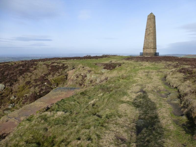
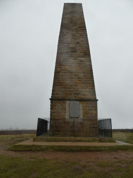
Captain Cook's Monument, 324 m, NZ 590 101.
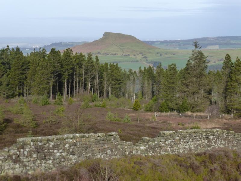
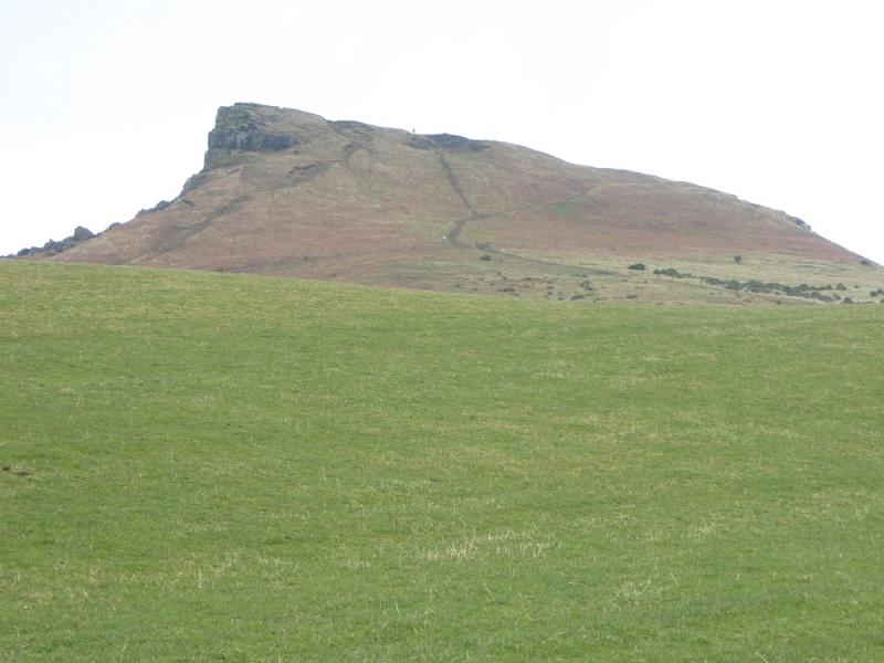
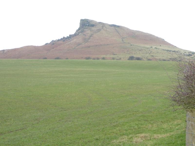
Roseberry Topping, 320 m, NZ 579 126.
OL 26, 1:25 000, North Yorks Moors Western Area.
Introduction
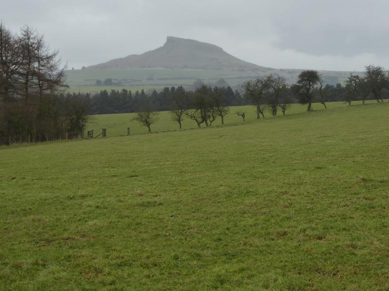
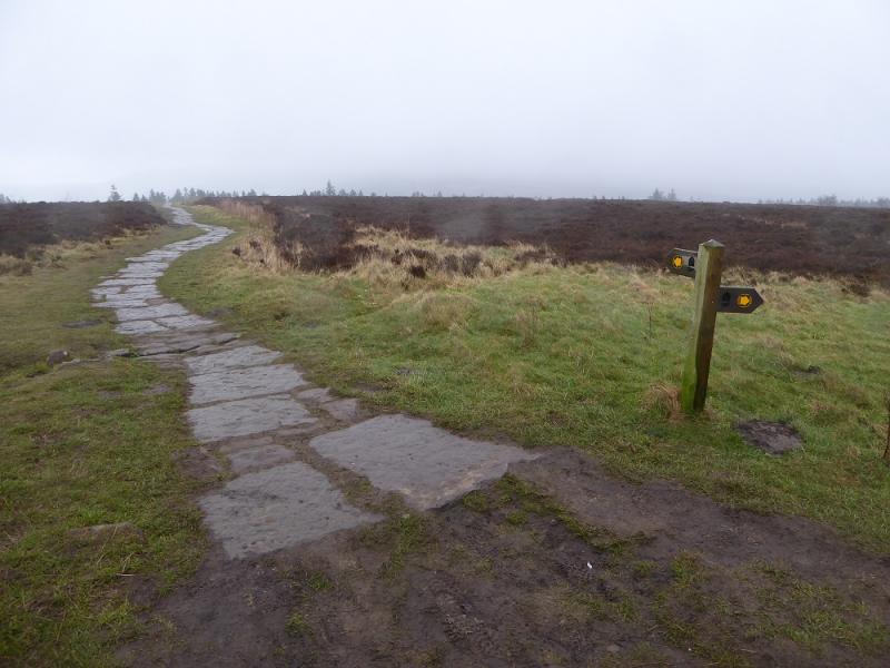
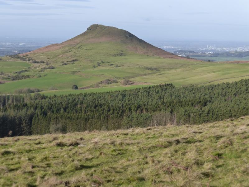
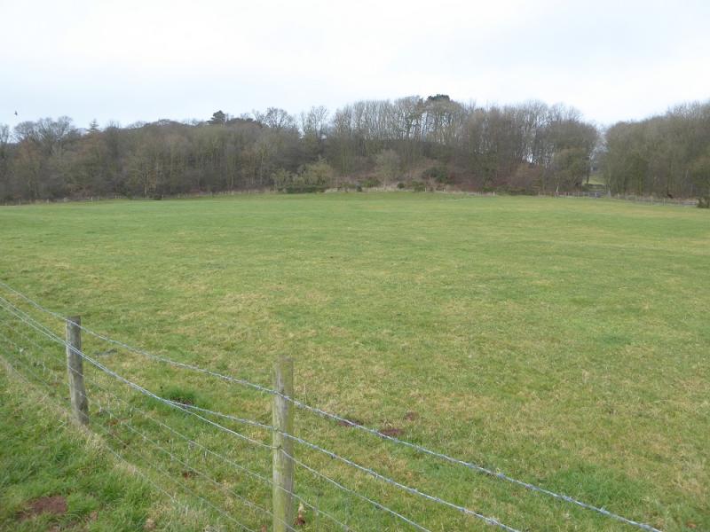
The North Yorkshire Moors covers a large area and is mainly moorland, ridges and a few distinctive peaks, none of which rise to even 400 m. Roseberry Topping is probably the most distinctive peak as it is not part of a ridge. It is well seen from the A172 near Stokesley as is Captain Cook's Monument. The ground under foot is often muddy but there are some well laid paths these days. Unlike the other routes uploaded, this route does not require a detour to visit Roseberry Topping. Note that some of the paths, particularly the lower ones can be quite boggy.
Route
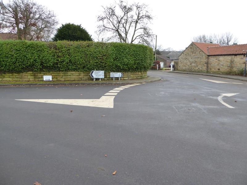
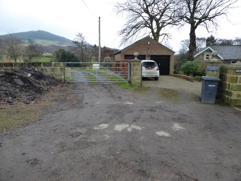
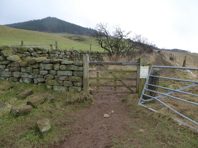
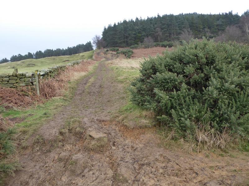
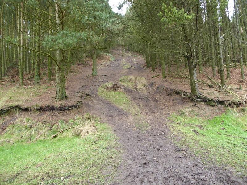
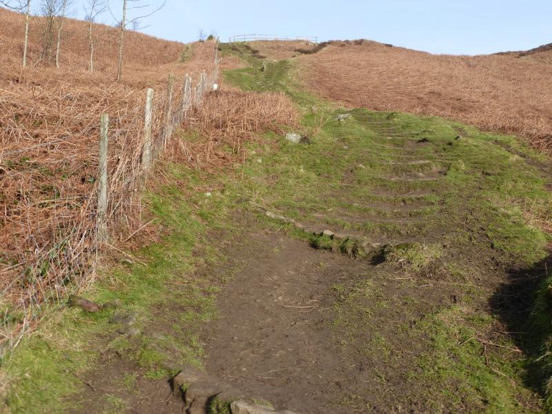
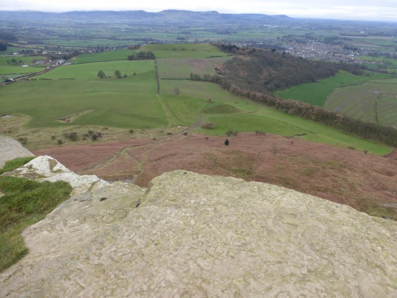
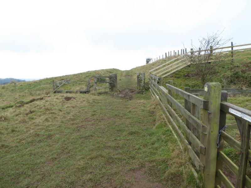
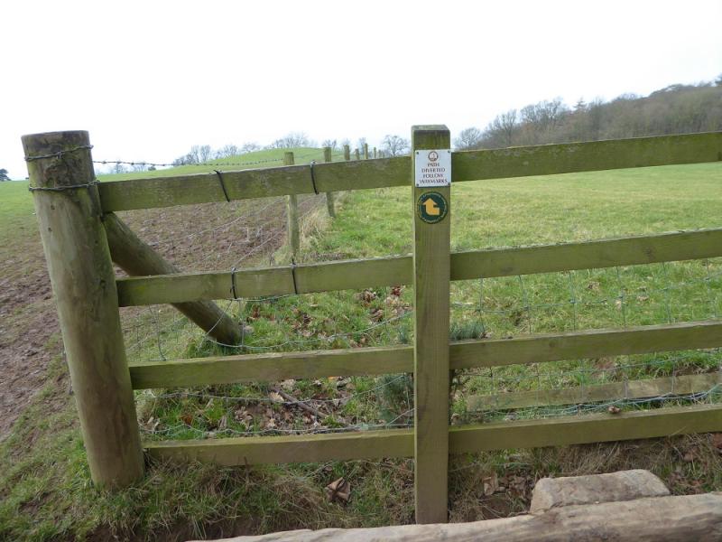
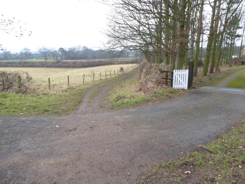
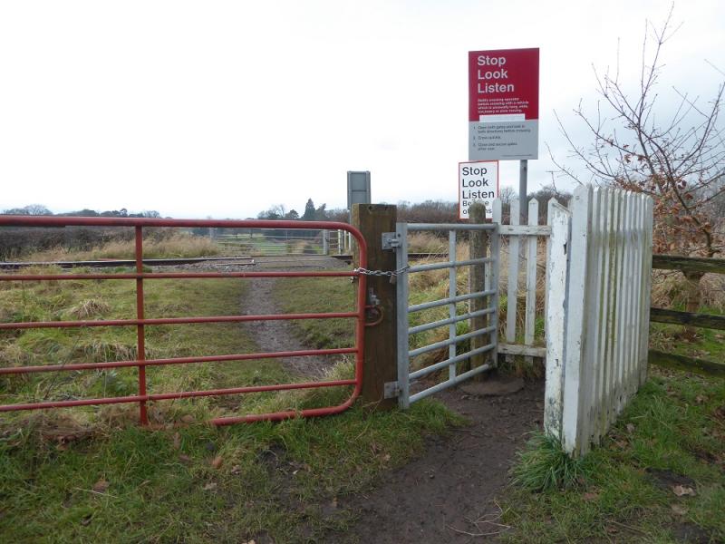
(1) From the post office in Great Ayton, take the road for the station. Stay on the road to cross the railway then, soon after, go right on to a signed footpath which is actually a very minor road. This ends at a gate where it becomes a track which continues to some outbuildings where a path swings right and continues to reach a track. Go left and reach a track junction. Turn right, still on the track which is signed as a public footpath, and follow it to a house where it becomes a bridleway which is quite boggy in places. Follow a wall on the left until the path goes left through a gap in the wall and heads for a wood. At the edge of the wood, fork diagonally right and follow a path up through the wood. This becomes fairly steep after crossing a grassy track then levels out. Although it is, surprisingly, not visible until fairly close, the path leads to the tower which marks the summit of Captain Cook's Monument, 324 m, the highest point on this walk. There is a large hollow about 50 m to the S which can offer shelter from rough weather.
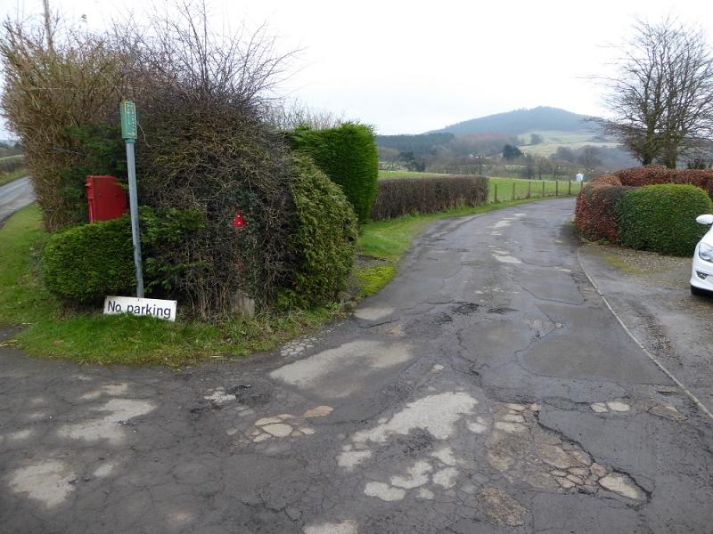
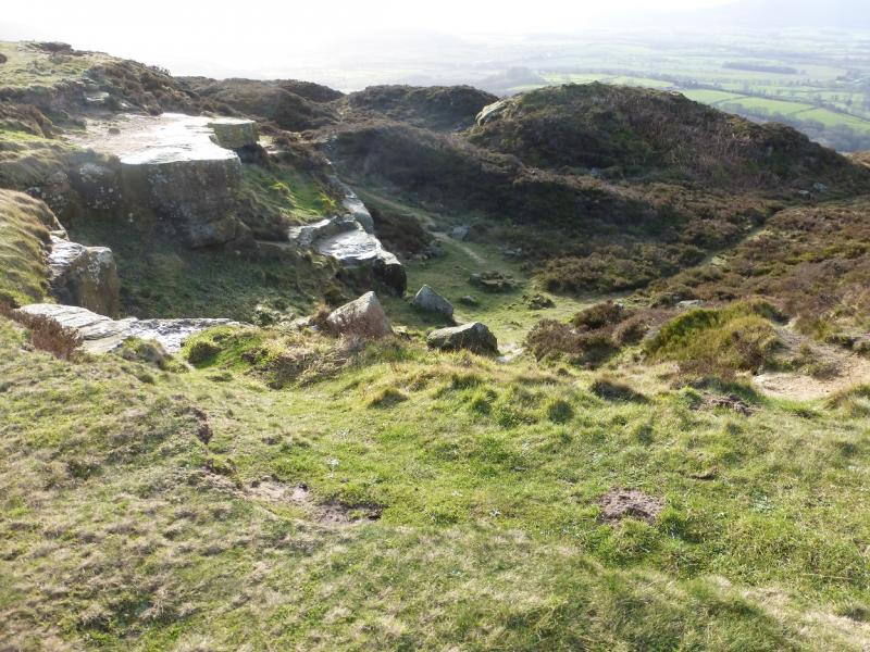
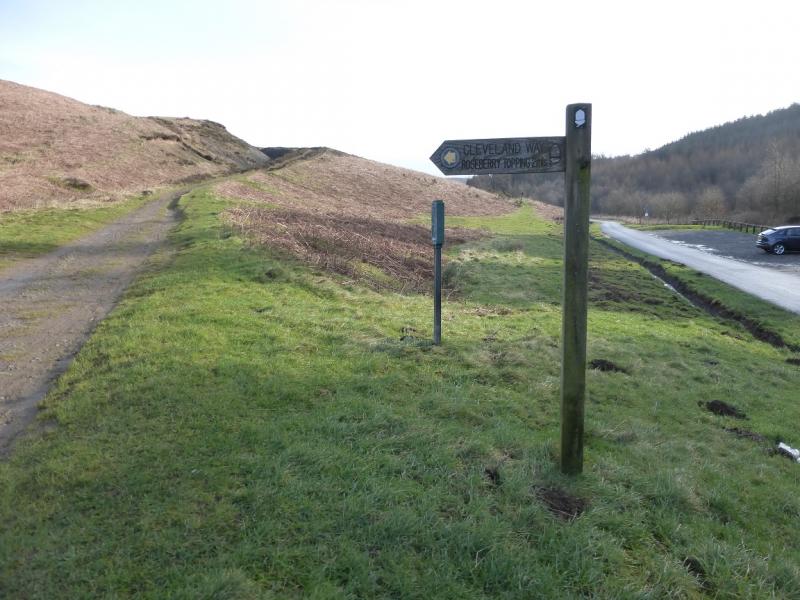
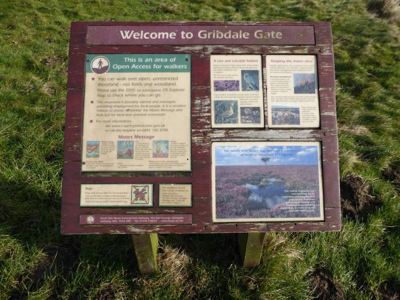
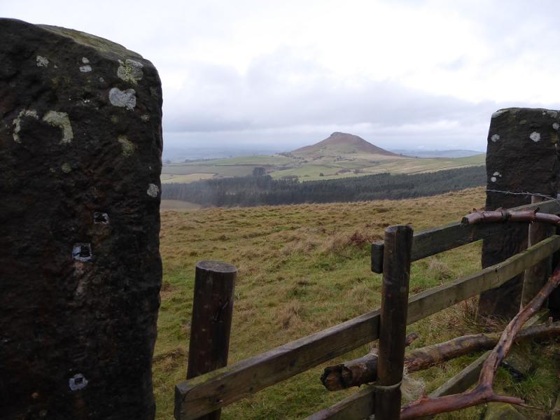
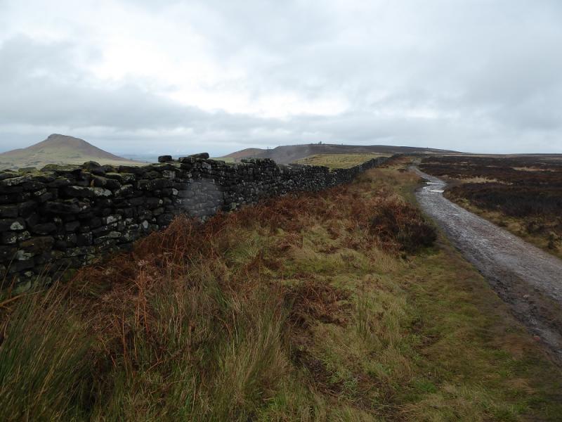
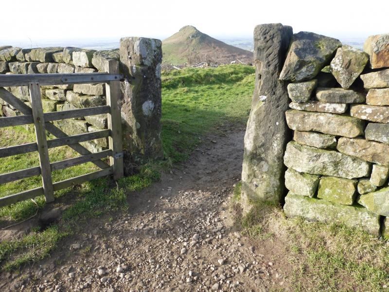
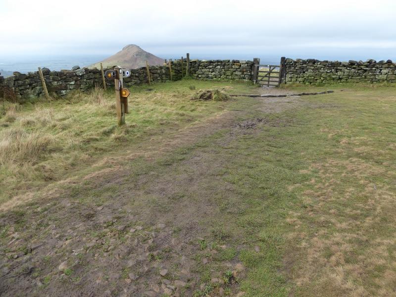
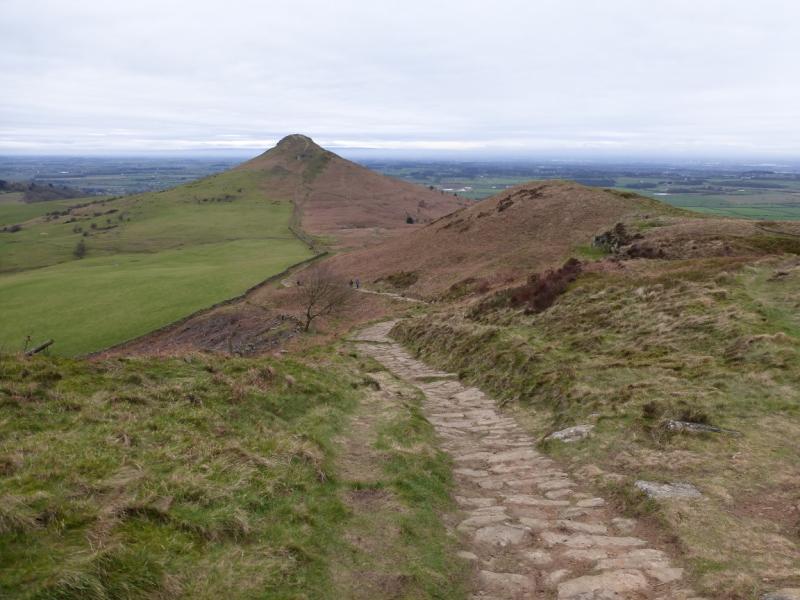
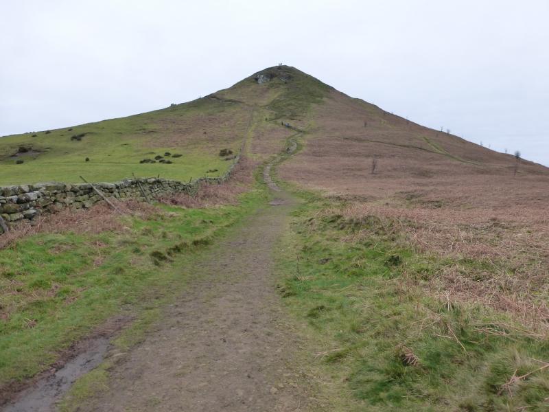
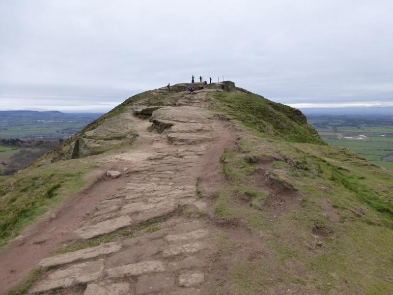
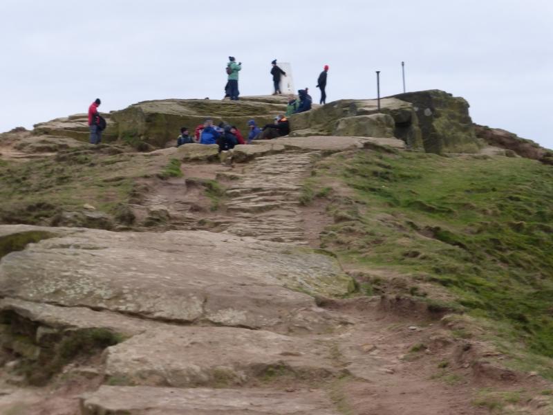
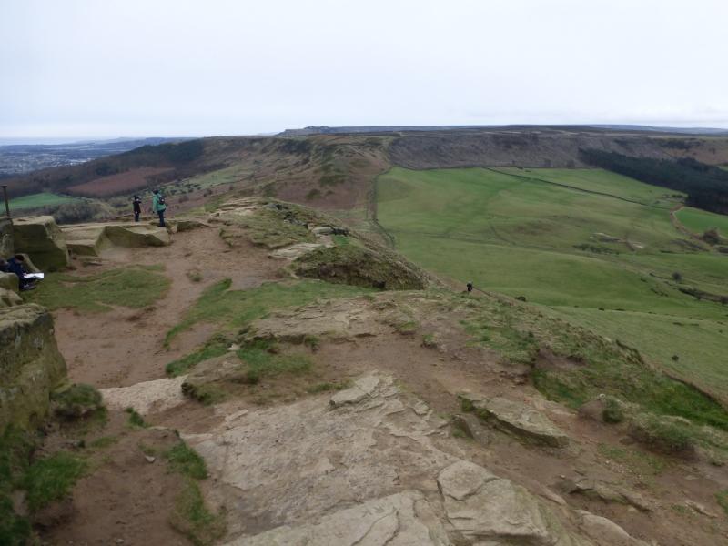
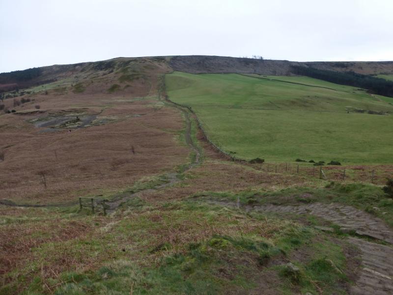
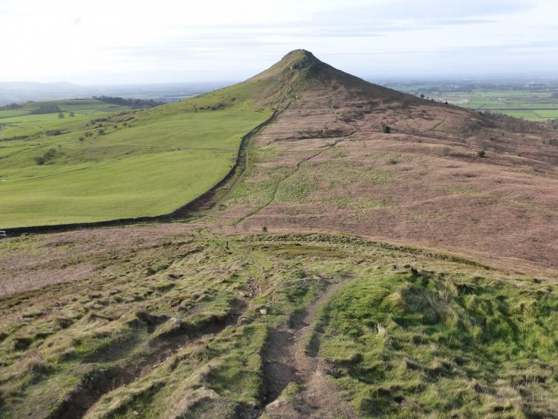
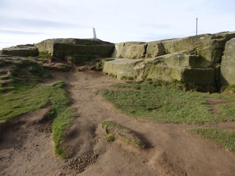
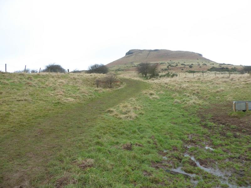
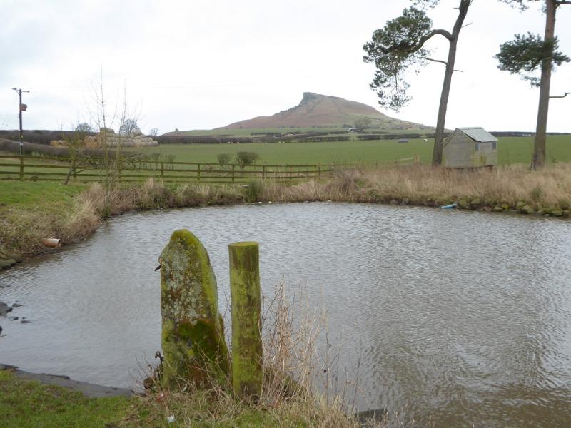
(2) Descend N, still on the Cleveland Way, and reach the large car park at the bottom called Gribdale Gate. Cross over and regain much of the lost height, still on the Cleveland Way. After nearly 2 km from the car park, reach a corner in the wall where there is a gate. Go through the gate before descending W on a slabbed path to reach a col. Continue up the other side and reach the trig point beyond some large blocks which is the summit of Roseberry Topping, 320 m. On a clear day, it is one of the best viewpoints in the area.
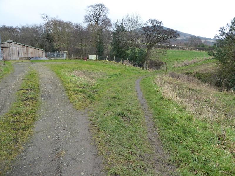
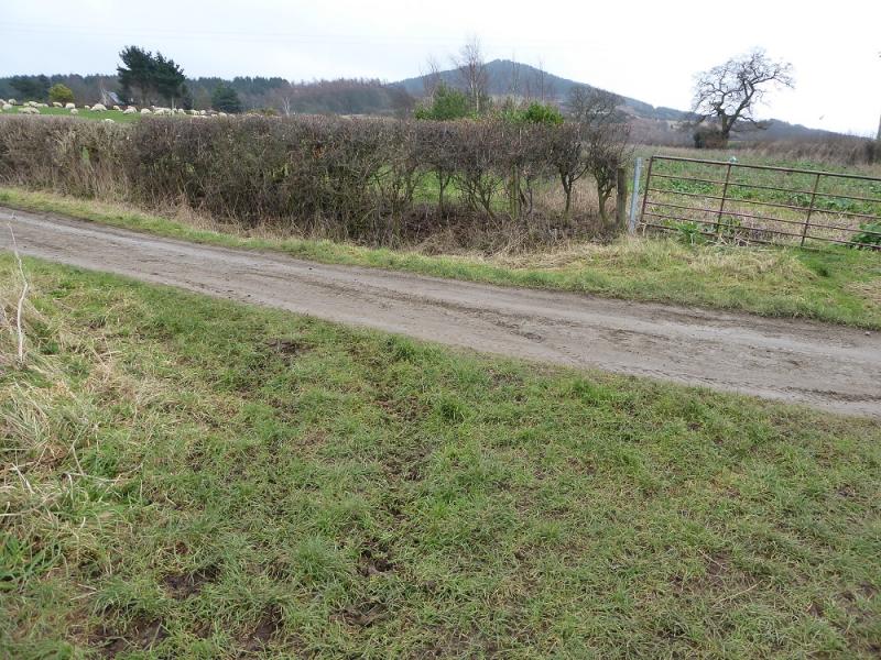
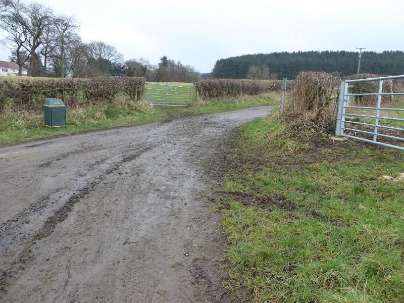
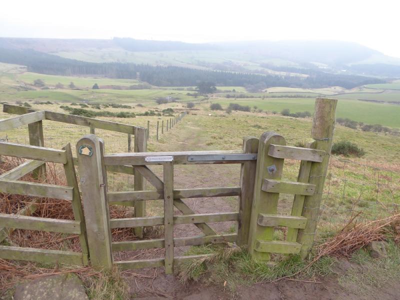
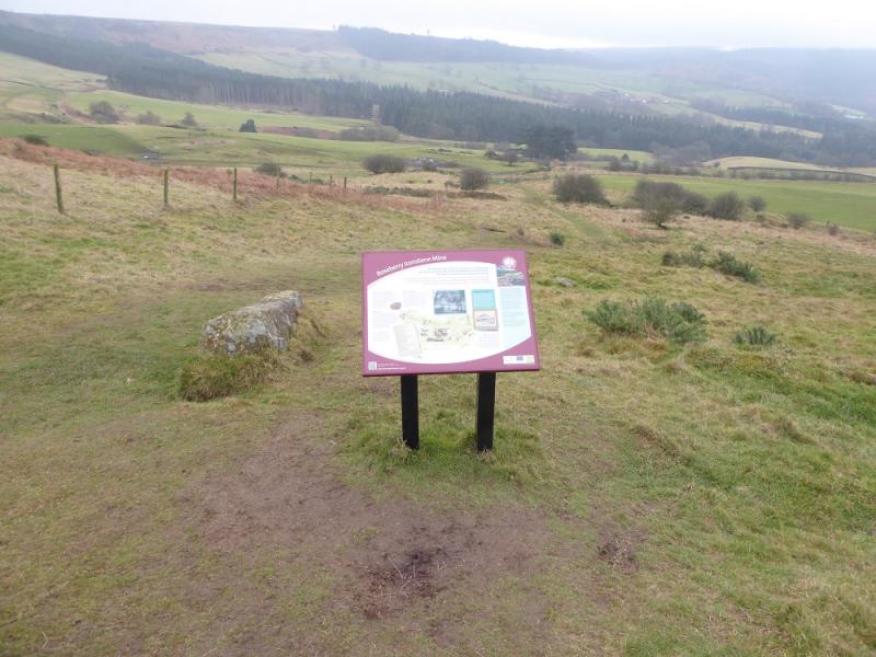
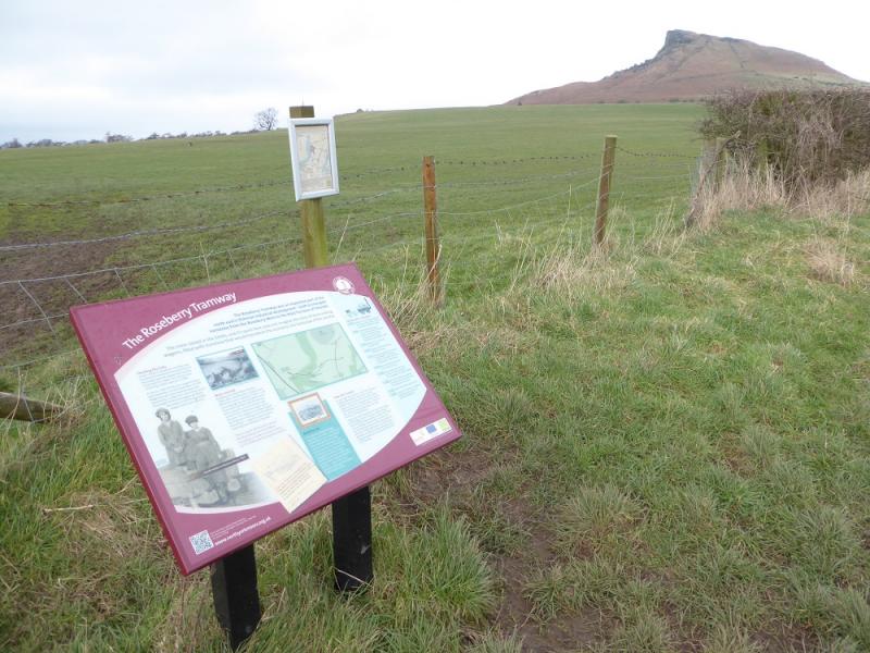
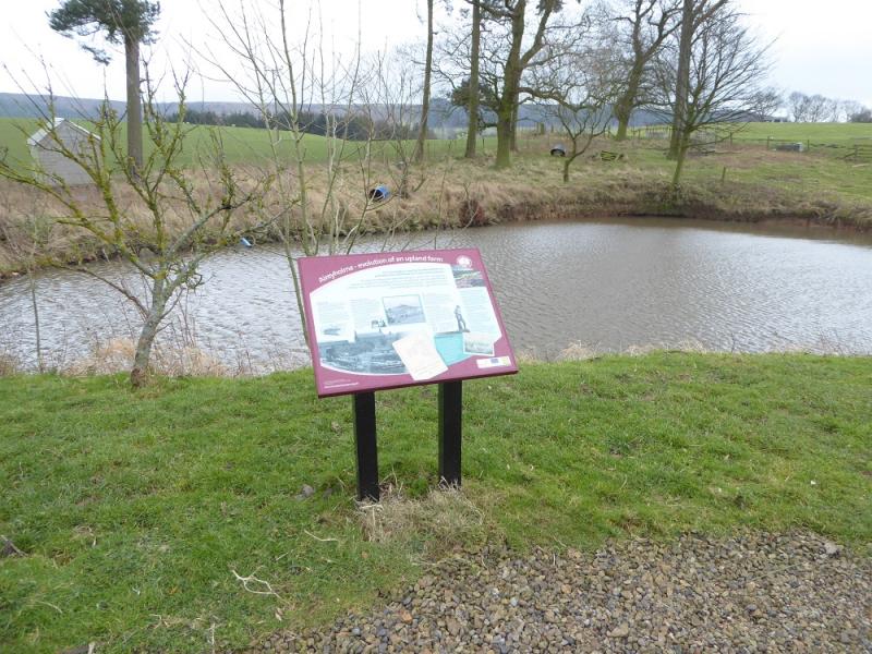
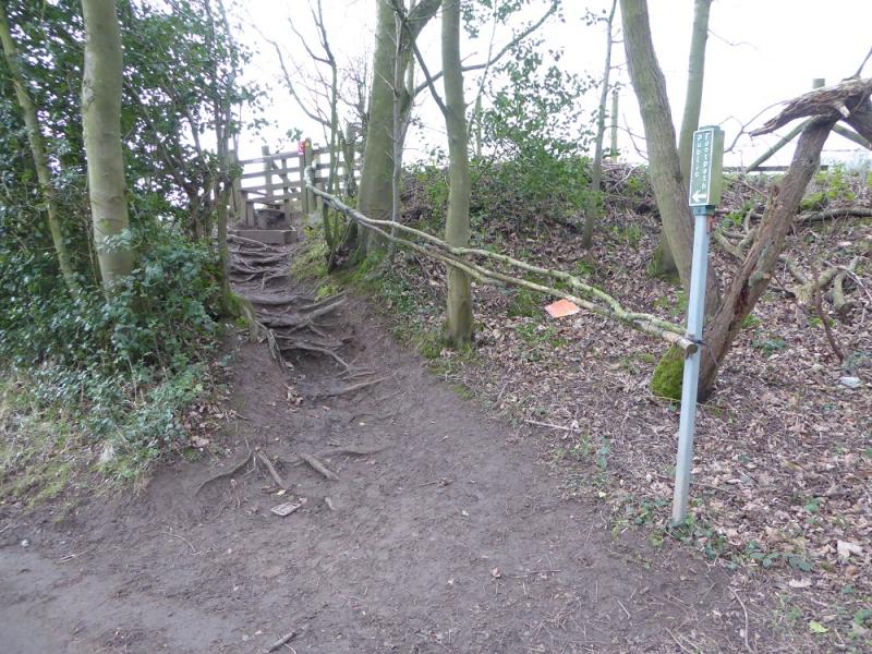
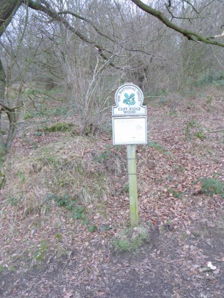
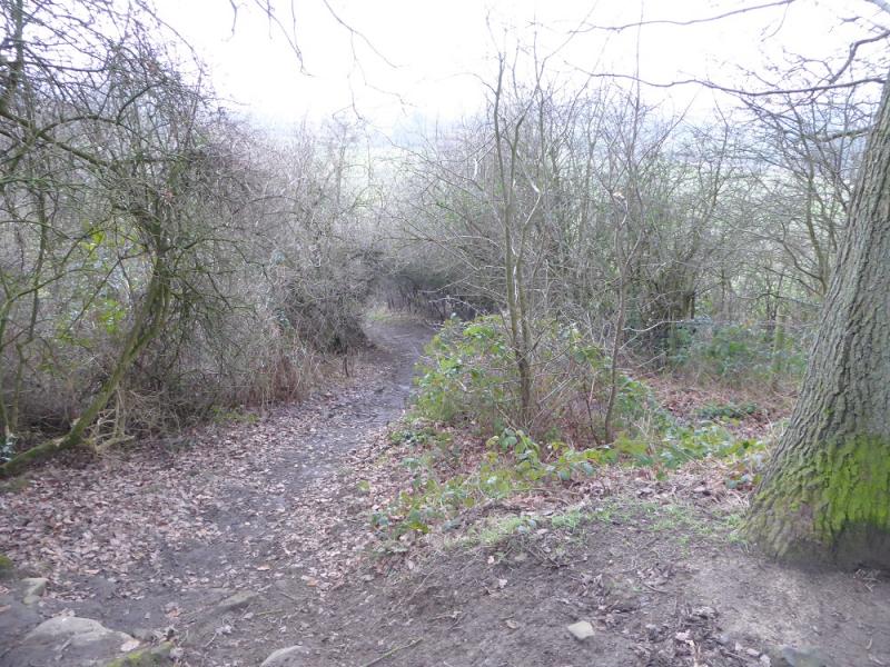
(3) Retrace a short distance until a path drops off the crest on the right – there are various options for joining this. Follow the path down to a gate then continue down to an information board about the old mines. Keep going and reach the foot of the path, just before a very muddy track going right to Airy Holme Farm. The first part of the track can be avoided by a grassy footpath reached just before the track. Once the track is joined, follow it down to the farm, passing another information board. Go past the buildings then find some benches by a small lake on the left. Continue down the track and enter the wood. Look for a signed footpath on the right which goes up a bank then has an open field on its right. Follow the path into Cliff Ridge Wood and reach the information sign in the middle. Go left here and descend out of the wood on an obvious path which crosses a private road then leads, with a few boggy sections, back to Great Ayton to join the main road through the village. Turn left and soon reach the post office.
Notes
(a) This walk took place on 31st January, 2017.
(b) There are alternative routes up to Captain Cook's Monument and to return from Roseberry Topping which can easily be extracted from the map.
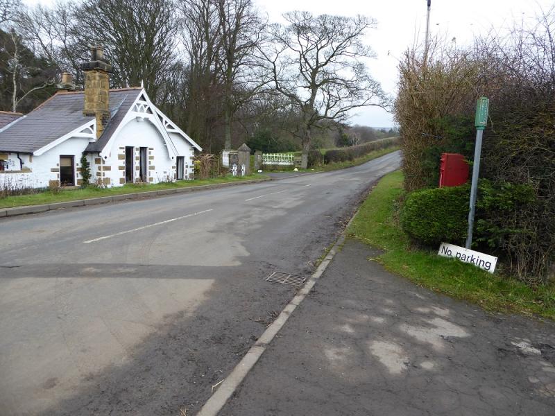
(c) The walk can be shortened by about 2.5 km/30 minutes by parking at Great Ayton Station which has a car park, assuming there is space! The above route can be joined by the road over the railway. On the return, stay on the track from Airy Holme Farm which joins the road close to the railway bridge.
Photos - Hover over photo for caption. Click on to enlarge. Click on again to reduce.