Get Lost Mountaineering
You are here: England » Lancashire » Pendle Hill
Pendle Hill & Ogden Clough from Barley
Pendle Hill & Ogden Clough from Barley
Start/Finish
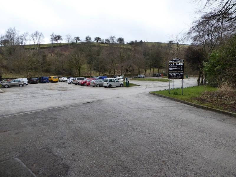
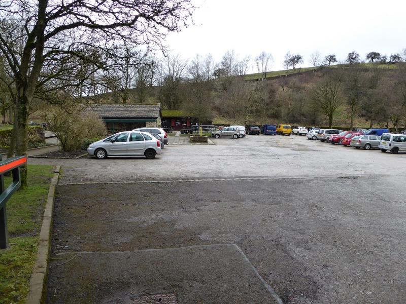
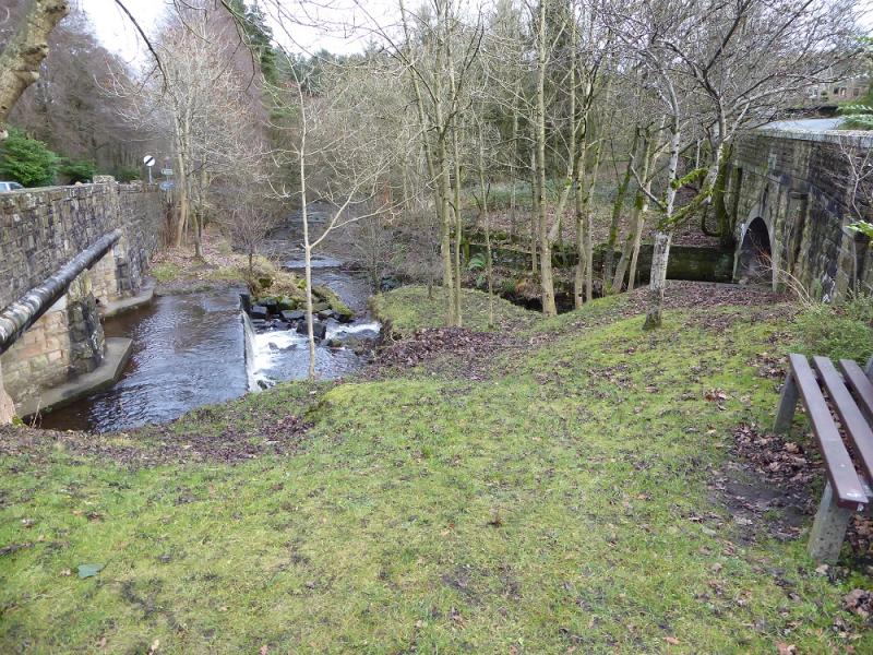
Barley village car park which was only £1 per day on 18/12/16. The car park is at SD 823 406 and its approximate post code is BB12 9JX. There are many routes to Barley but expect some narrow roads close to the village! Barley is west of Colne, north of Padiham, east of Clitheroe and south of Gisburn.
Distance/Time
9 km. About 3 – 4 hours.
Peak
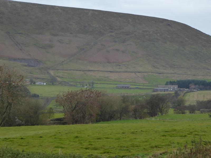
Pendle Hill, 557 m, SD 804 404.
OS 103: Blackburn, etc. OL 21: South Pennines.
Introduction
Some may consider Pendle Hill to be of modest height but it dominates the surrounding countryside and is well seen from far away. Navigation is relatively straight forward but the section of the ascent up Big End is quite steep and goes on for some distance. Despite it being stepped, some will struggle with the effort needed here. There are toilets and a pleasant cafe in the car park; the parking charges are only £1 per day.
Route
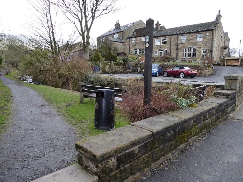
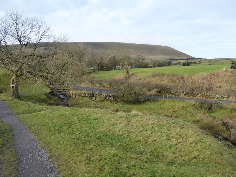
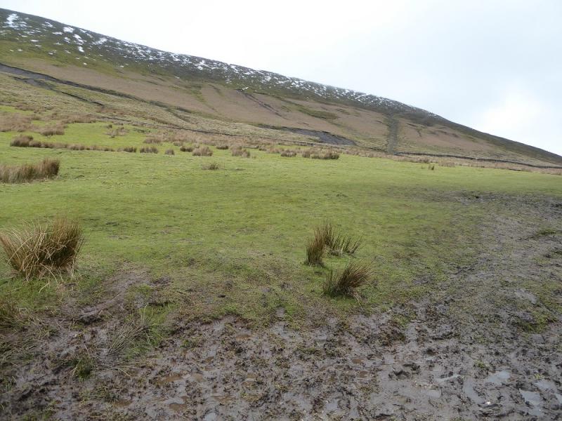
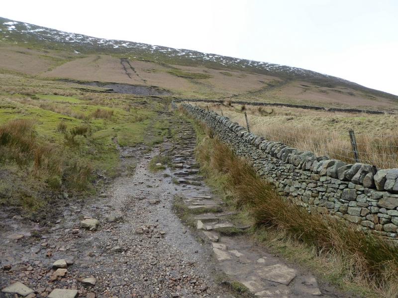
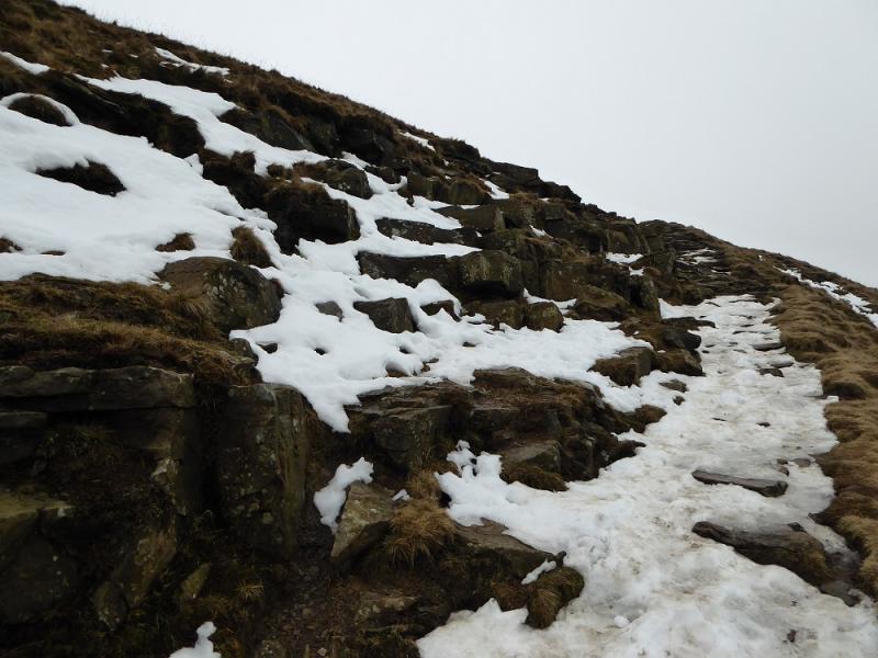
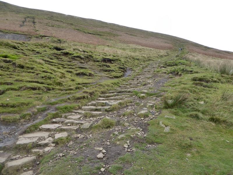
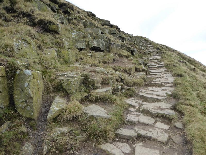
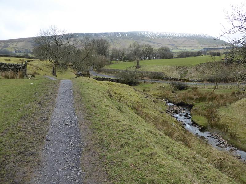
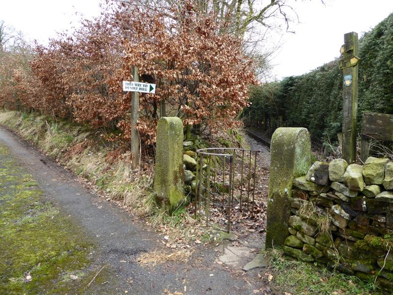
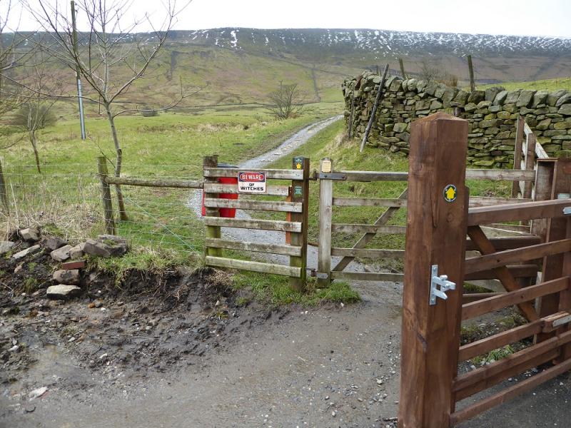
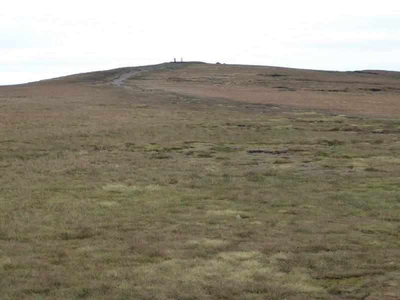
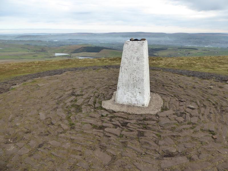
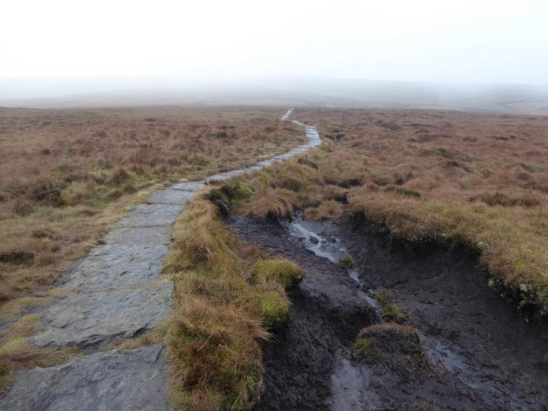
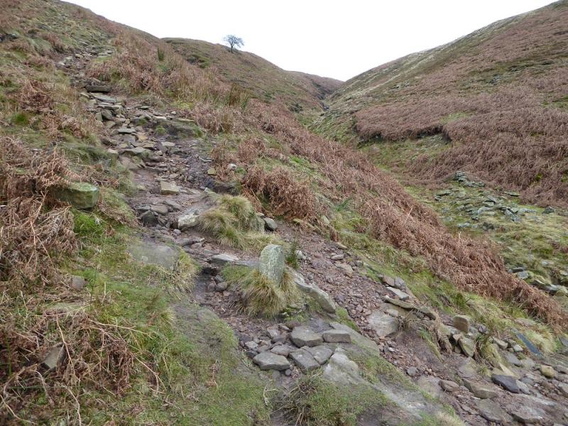
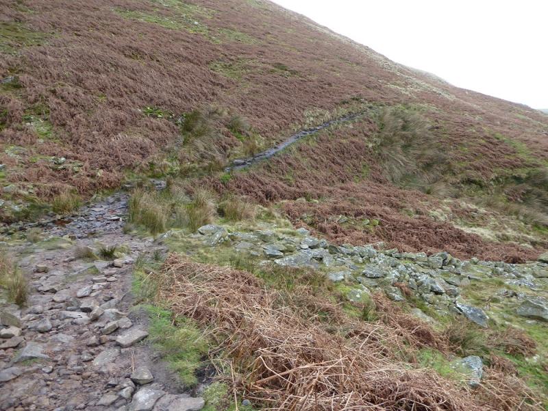
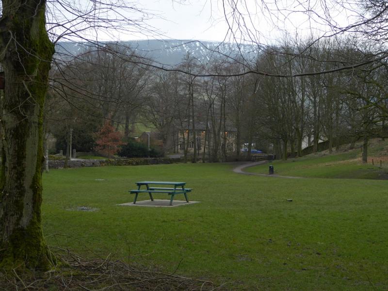
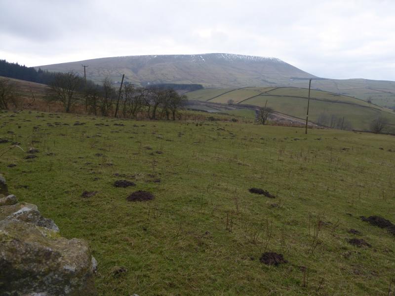
(1) Walk out of the car park on the path behind the toilets and follow it to the road opposite the Pendle Inn. Take the first left, after the inn, which is the road into the village. After about 300 m, a signed path – Pendle Way – goes off left, initially following a stream. This path is well signed. It crosses a minor road, passes Ings End, Brough House then Pendle House. Soon after, it cuts back left and crosses an open field (slippery when wet). Soon after, the foot of Big End is reached and the path steepens considerably but it is stepped which does help. It is not difficult but many will want a few “breathers” on the way up as it does go on a bit! Eventually the angle eases and one reaches a wall with a stone steps stile. Do not cross but follow the path going gently uphill and gradually drifting away from the wall. The direction is about 200 m SSW then about 200 m S with the edge just on the left. The trig point is soon reached and this is the summit of Pendle Hill, 557 m.
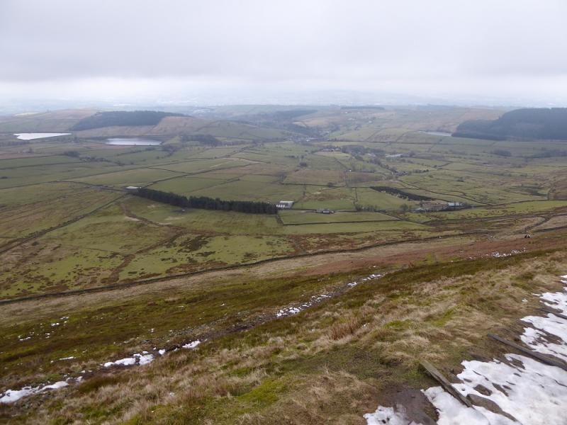
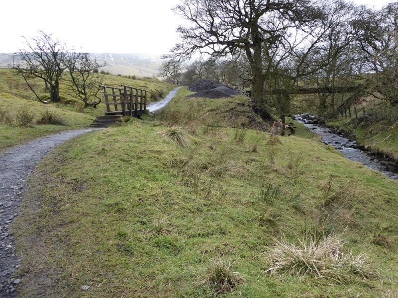
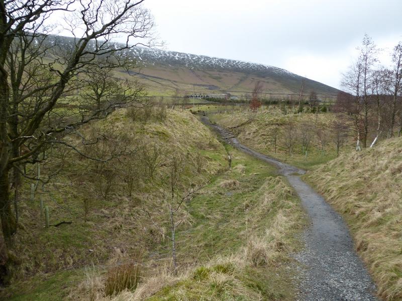
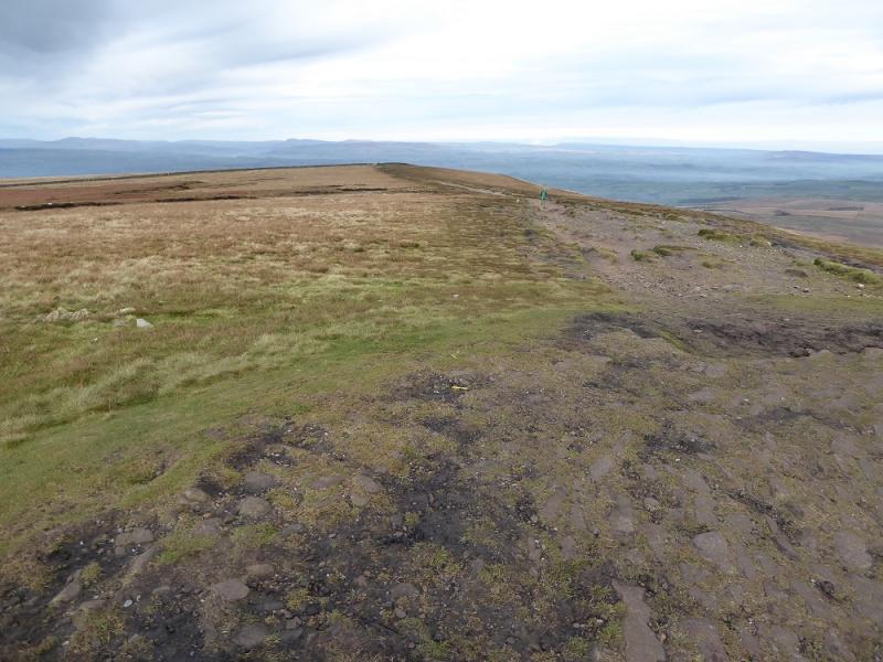
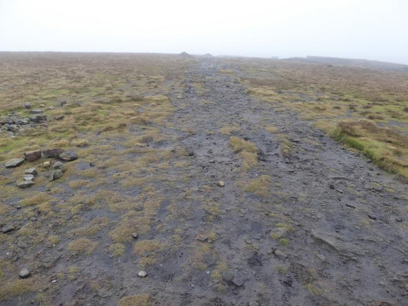
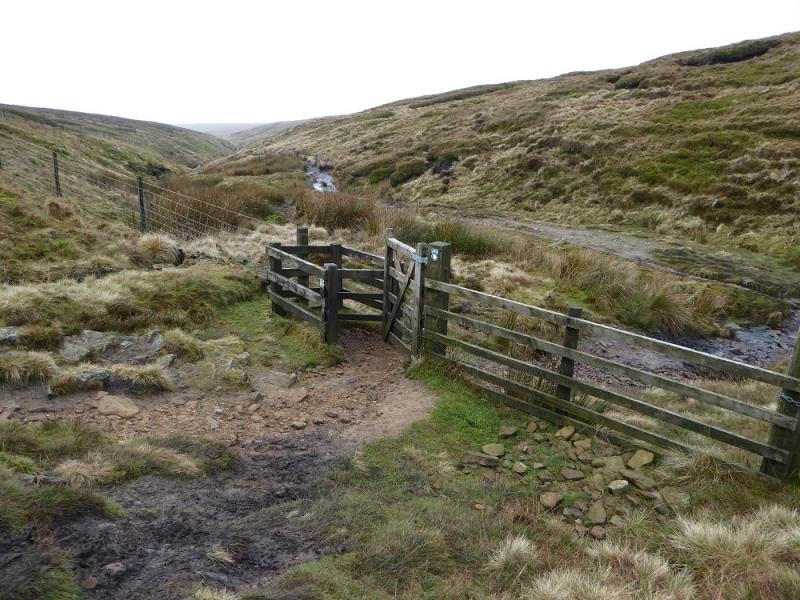
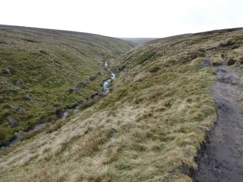
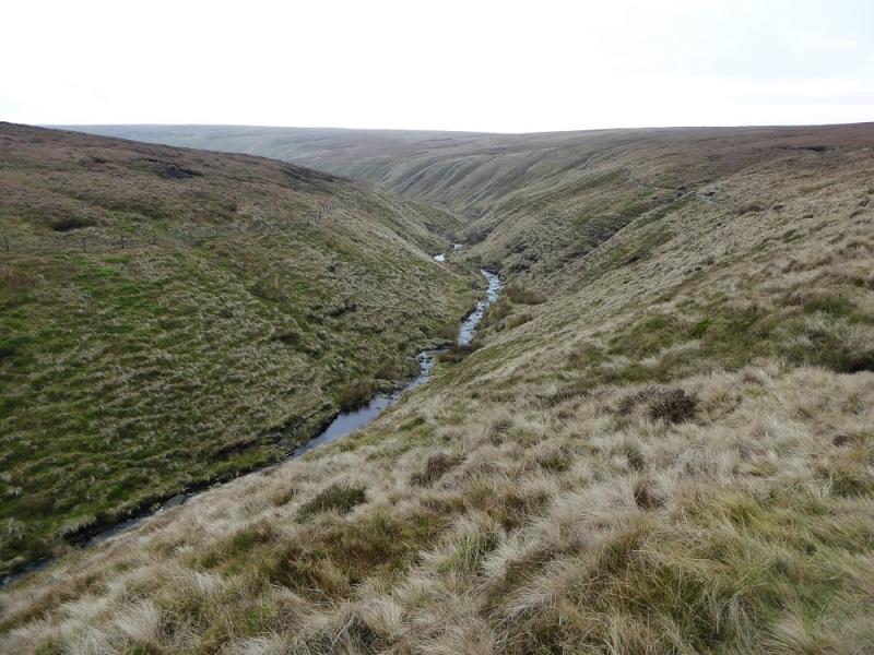
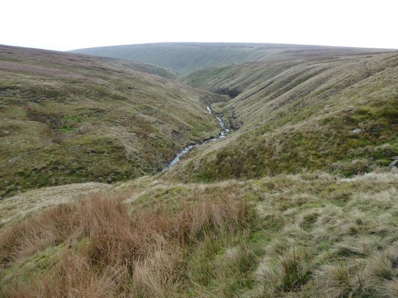
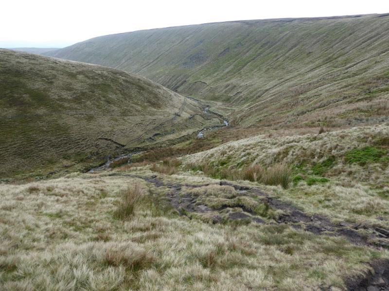
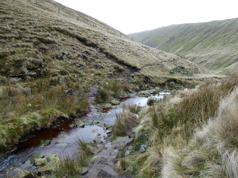
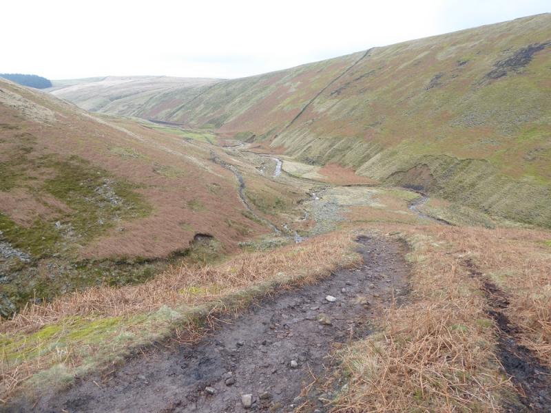
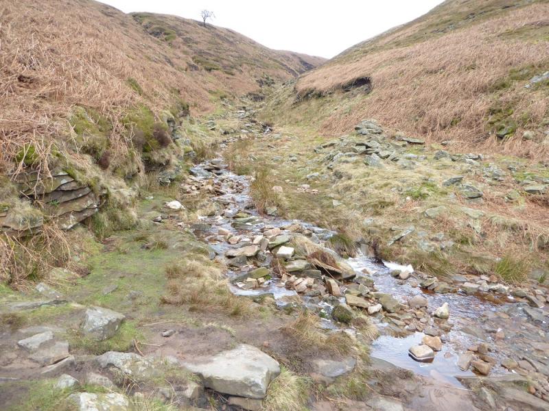
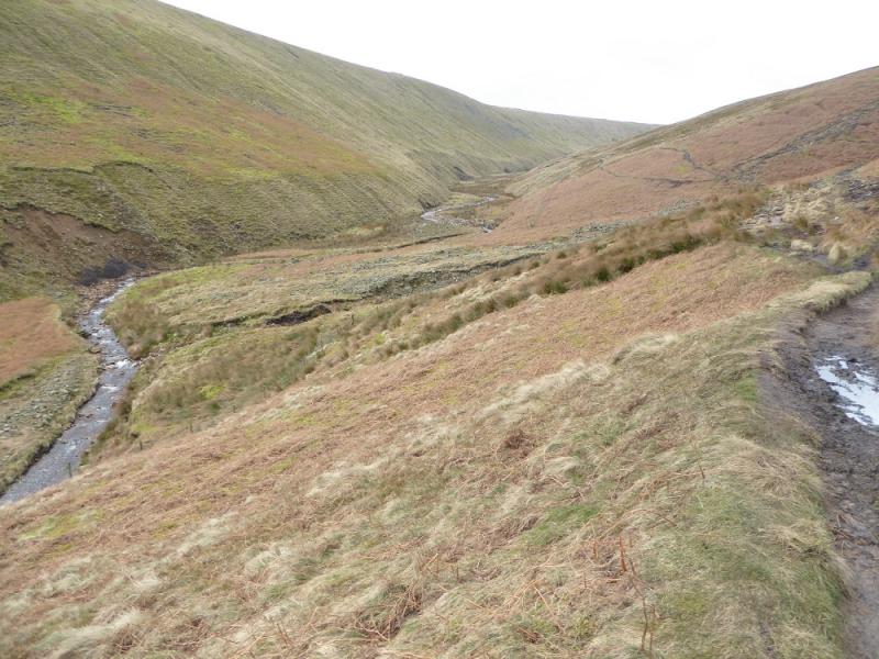
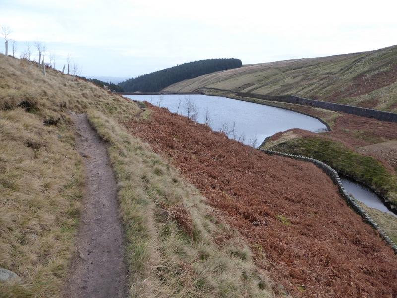
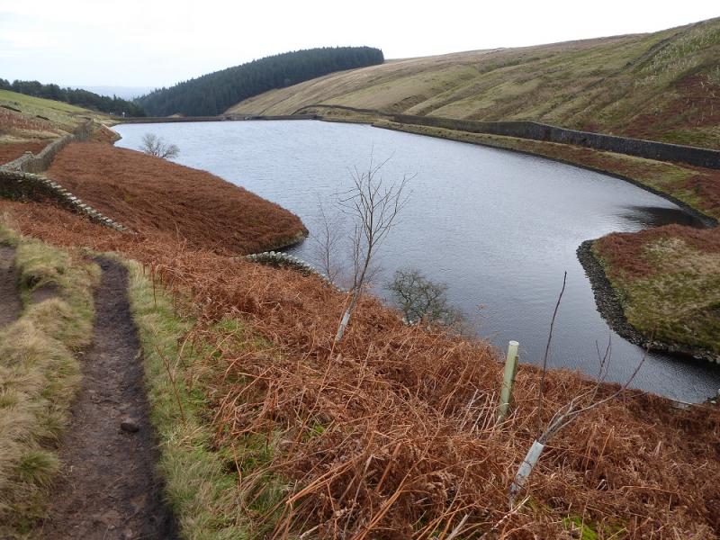
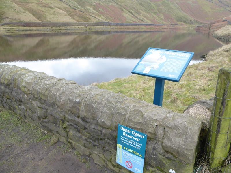
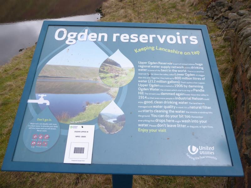
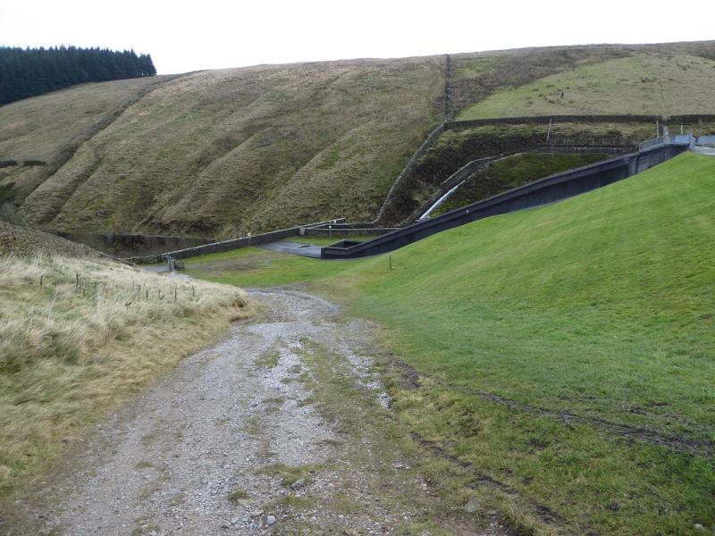
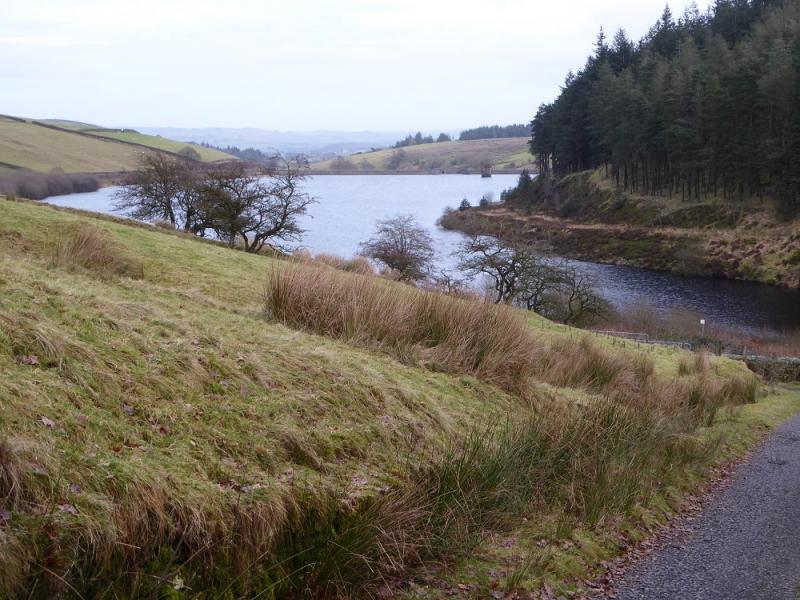
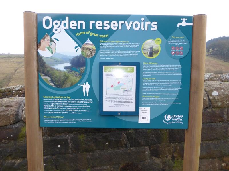
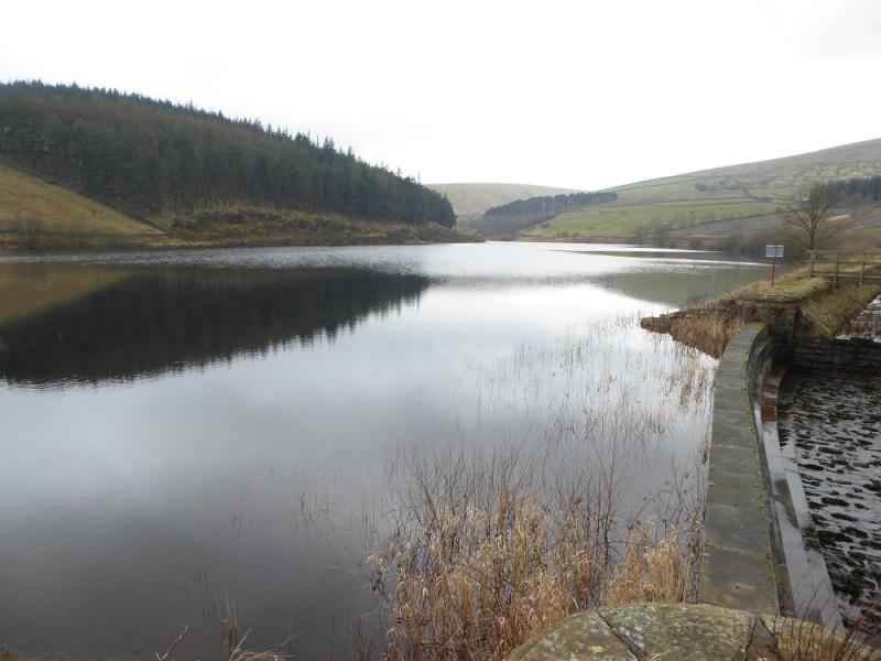
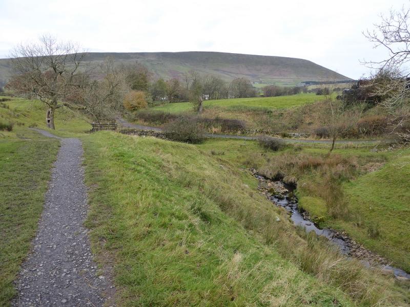
(2) Head roughly WSW towards some large cairns. A path soon becomes obvious and very soon it becomes a slabbed path. Follow the path all the way down to a gate where it joins Ogden Clough just after the slabs run out. Follow the path down the clough with the stream off to the left. A short steeper descent takes one across the stream then continue down the clough. Pass the foot of Boar Clough and the path coming down its left bank which is the only clough passed. Continue down the clough to reach Upper Ogden Reservoir which will be on your right, S. Follow the obvious path/track down the side of the reservoir then continue to reach the larger Lower Ogden Reservoir. Continue following the main track down and emerge in Barley village almost opposite the car park.
Notes
(a) This walk took place on 18th December, 2016.
(b) There are many other routes on Pendle Hill which are well worth exploring.
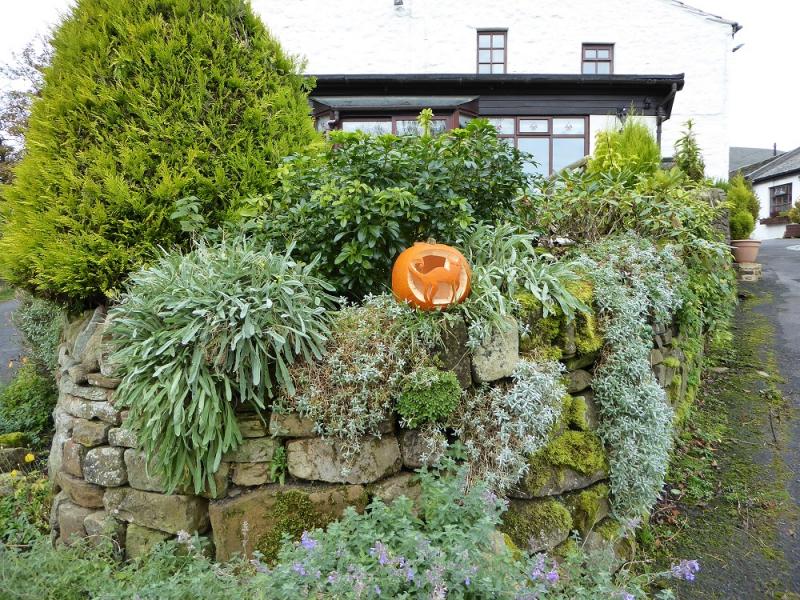
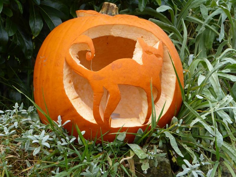
Photos - Hover over photo for caption. Click on to enlarge. Click on again to reduce.