Get Lost Mountaineering
You are here: Scotland » 04 Loch Leven and Loch Linnhe to Loch Ericht » Loch Trieg to Loch Ericht & Dalwhinnie
Beinn a' Chlachair, Geal Charn & Creag Pitridh
Beinn a' Chlachair, Geal Charn & Creag Pitridh from Torgulbin
Start/Finish
Parking space on A86 Spean Bridge to Newtonmore road by Torgulbin at Sw end of Loch Laggan, NN 432 831. There is space for at least 10 cars.
Distance/Time
30 km About 9 hours
Peaks
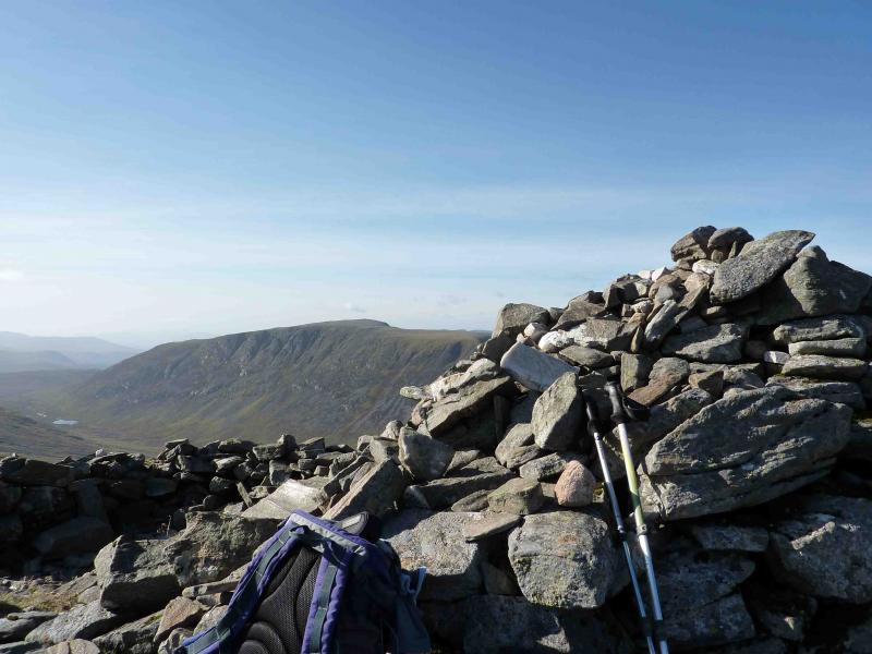
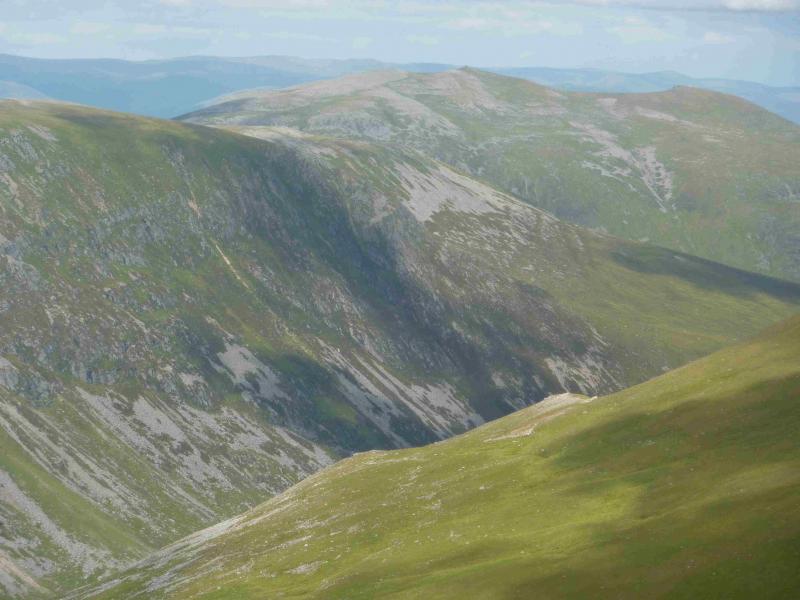
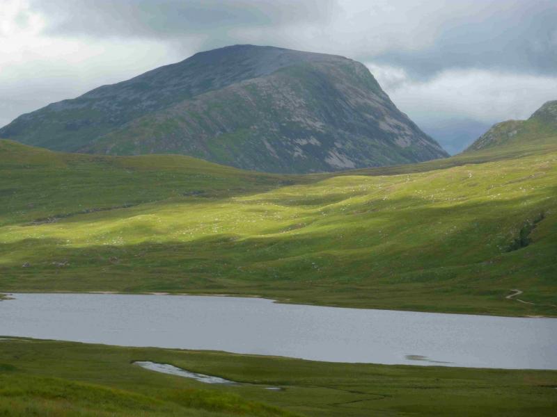
Beinn a' Chlachair, 1087 m, NN 471 781.
Geal Charn, 1049 m, NN 504 812.
Creag Pitridh, 924 m, NN 487 814. OS sheet 42.
Introduction
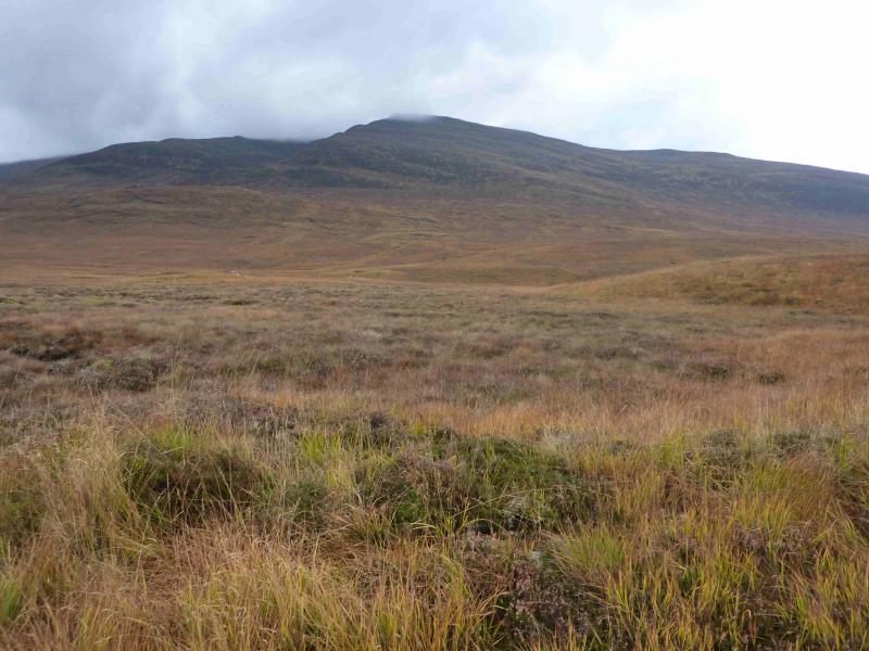
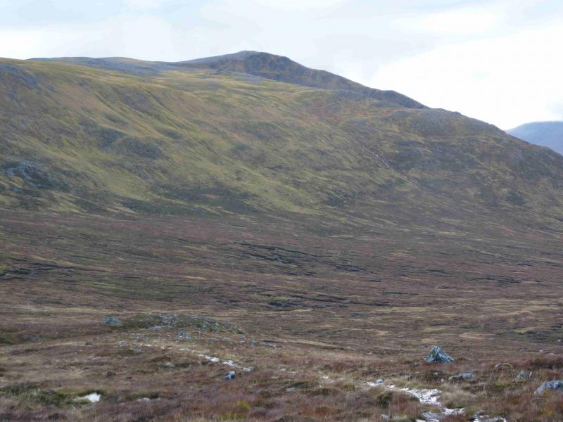
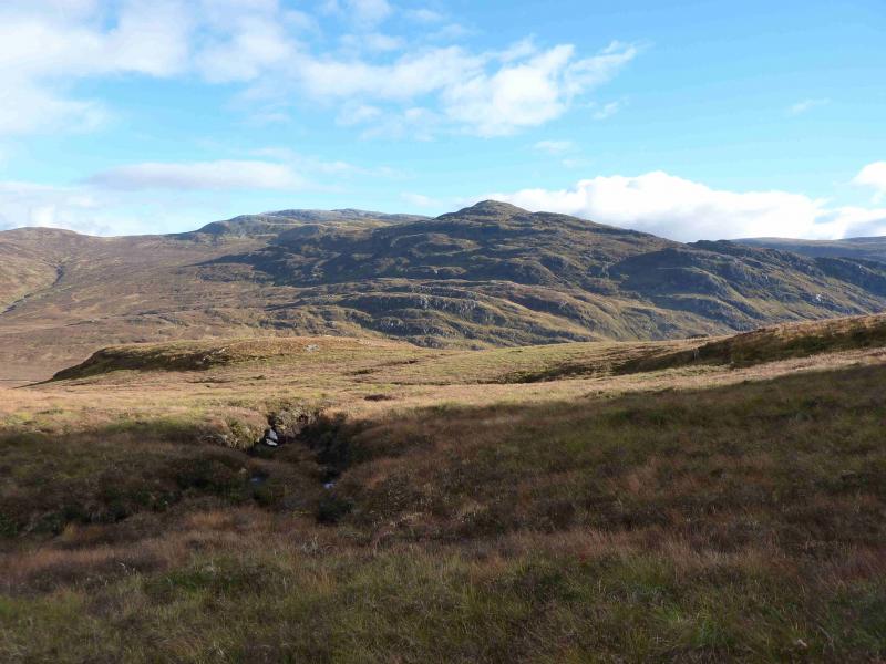
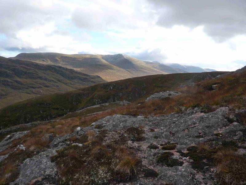
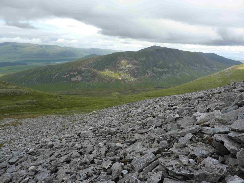
These are highly prized hills with excellent views in all directions. However, this is a strenuous day and navigation, although obvious in good weather, can be quite demanding on both Beinn a' Chlachair & Geal Charn. The ascent of Beinn a' Chlachair is not the usual direct route but goes around to the foot of its gentle W ridge which is easily walked up even though most of it is pathless. Using this ascent route minimises the back tracking; it also gives good views of the Beinn Eibhinn, Aonach Beag and Geal Charn range to the S. Part of this route can be used to access this remote hills so this walk is good reconnaissance for it. Using this ascent route adds about 30 – 60 minutes to the time.
Route
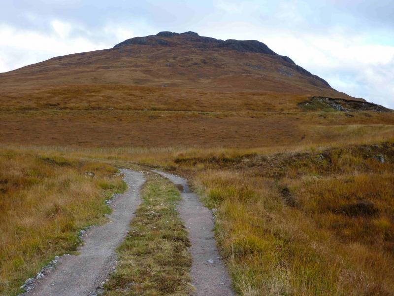
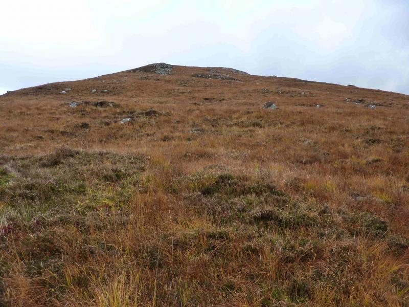
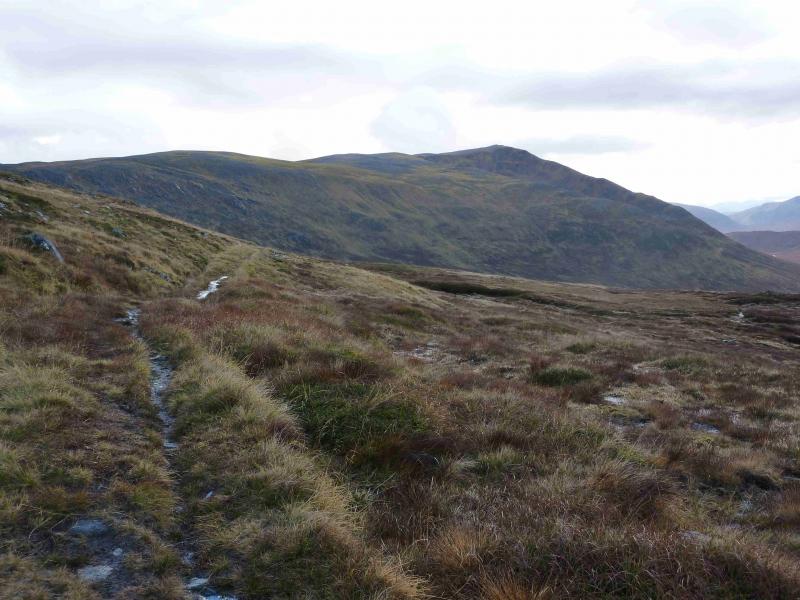
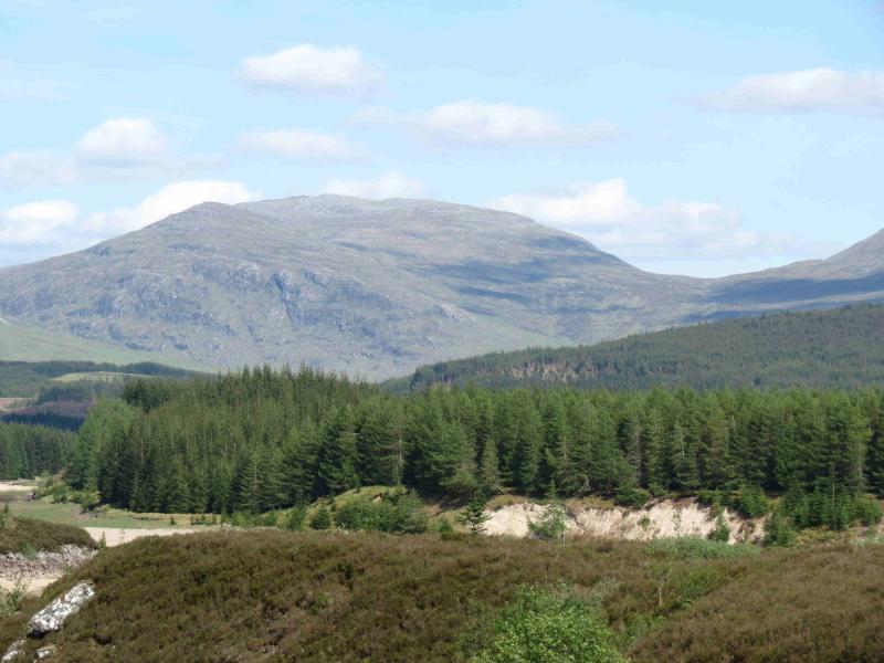
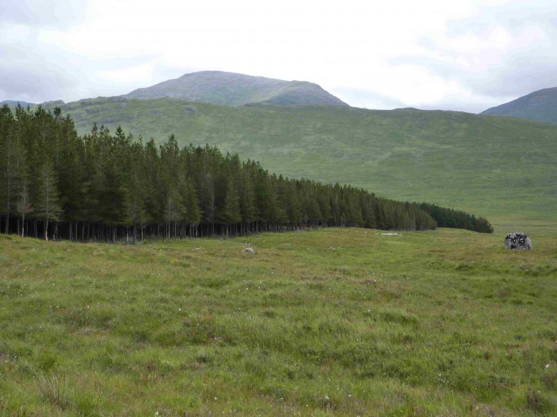
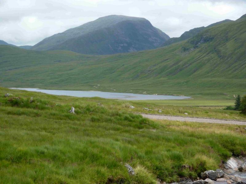
(1) Cross the river by the obvious bridge. At the first junction go left and soon reach a high locked gate with a pedestrian/cyclist gate at the side. Continue up the track, passing the turning to Loch Laggan, passing the SW end of Binnein Shuas, to reach another junction just before a lochan. Go right here and follow the track S. The track becomes a path at Lubvan, a ruin on the right. Continue on the path, boggy in places, for just over 2 km to reach the foot of the W ridge of Beinn a' Chlachair. This is about where the main river turns E. Ascend the gentle W ridge which is mainly grassy but increasingly stonier higher up. When the crest turns NE, the top is soon reached. A large cairn marks the summit of Beinn a' Chlachair, 1087 m.
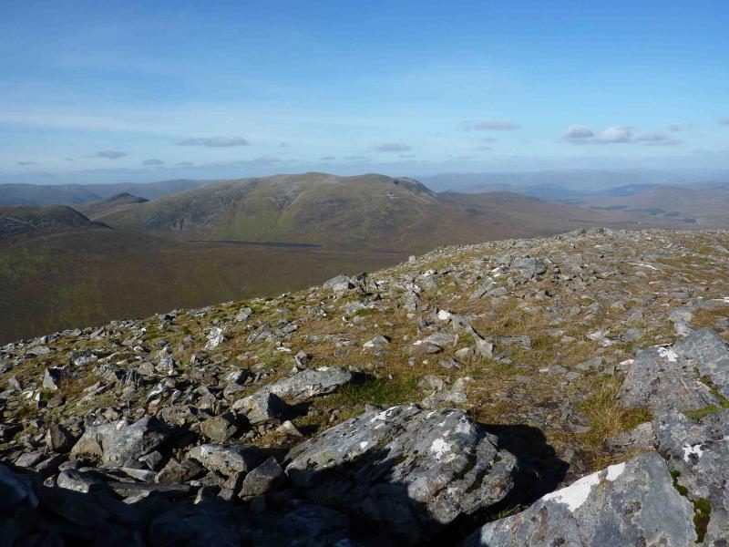
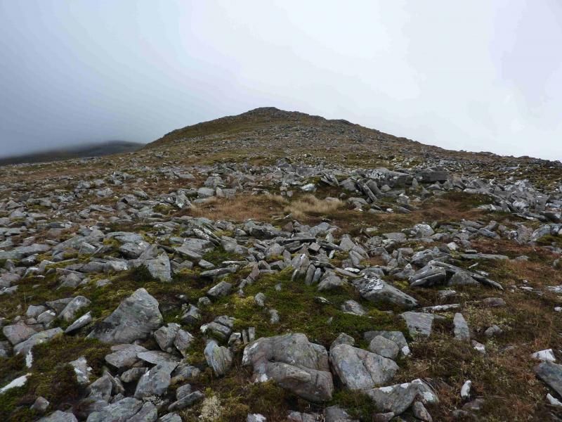
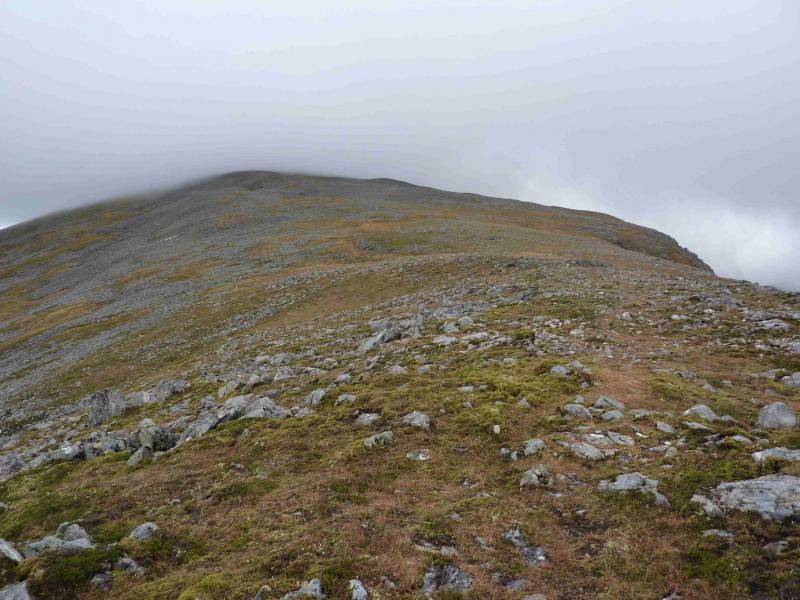
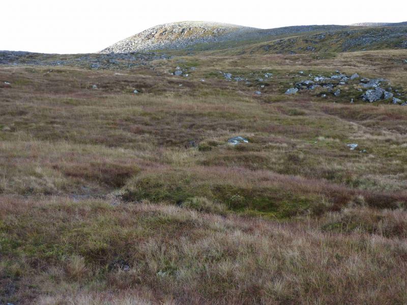
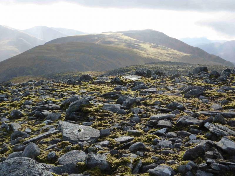
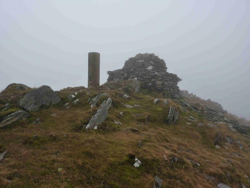
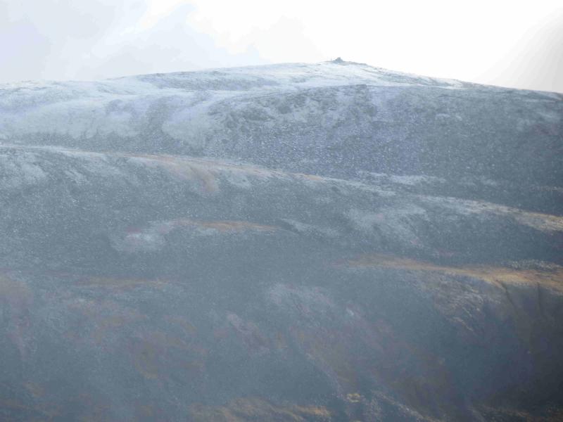
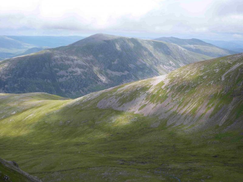
(2) The continuation to Geal Charn is obvious in good weather but can be demanding in mist. The general direction is roughly NE. Once the stony ground on the plateau is passed, a path appears, with the odd cairn, which leads down, through rocky ground, to the left of the crags shown on the map to reach the track in the bealach to the W of Loch a' Bhealaich Leamhain. Follow the track, descending slightly, until a branch goes N. Follow this branch up to the bealach between Creag Pitridh and Geal Charn. From there a path goes up E and can be followed, intermittently in places, to the large cairn and trig point which marks the summit of Geal Charn, 1049 m.
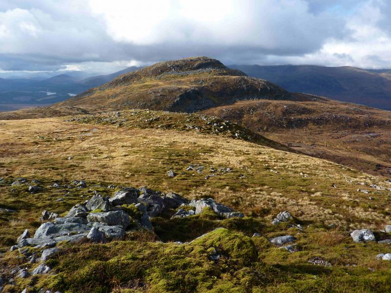
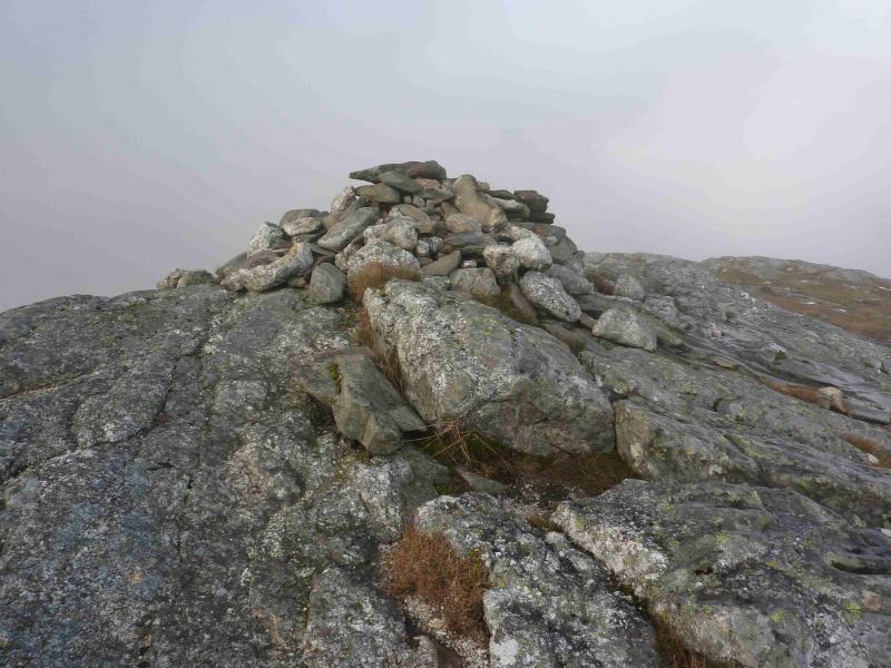
(3) Retrace to the bealach. This will need care in mist. Ascend the path on the other side of the bealach which leads up to the medium cairn which marks the summit of Creag Pitridh, 924 m.
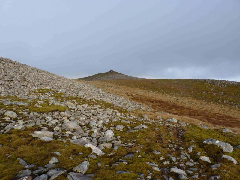
(4) A path leads down, roughly SW, from the summit and this can be followed. It goes more to the W just before the flat section before the crags of Sgurr an t-Saighdeir. The path can be difficult to follow after this but it leads down, mainly grassy slopes, to join the main track just after the track has crossed the river. Follow the track down, passing Lochan na h-Earba, back to the start.
Notes
(a) This route was walked on 3rd June, 2005, and 14th October, 2012.
Photos - Hover over photo for caption. Click on to enlarge. Click on again to reduce.