Get Lost Mountaineering
You are here: Scotland » 12 Glen Cannich to Glen Carron » Cannich & Loch Mullardoch to Loch Long
An Cruachan & Carn na Breabaig from Killilan
An Cruachan & Carn na Breabaig from Killilan
Start/Finish
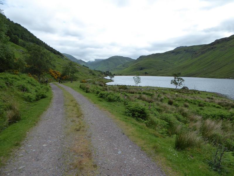
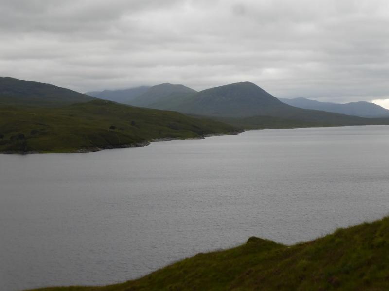
Car park at the entrance to the Inverinate Estate at Killilan. The signed turning for Killilan is about a mile west of the bridge at Dornie. The narrow road follows the NW side of Loch Long (well named!) for about 5 miles. The car park is just after the right turn for Cams-luinie which is just after a major bridge over the River Ling. There is a fair amount of parking but it can fill up early as many long walks start from here. Dornie is about 9 miles east of the Kyle of Lochalsh on the A87 road from Invergarry.
Distance/Time
24 km bike + 19 km walk. About 11 - 12 hours.
Peaks
An Cruachan, 706 m, NH 093 358.
Carn na Breabaig, 678 m, NH 066 301. OS Sheet 25.
Introduction
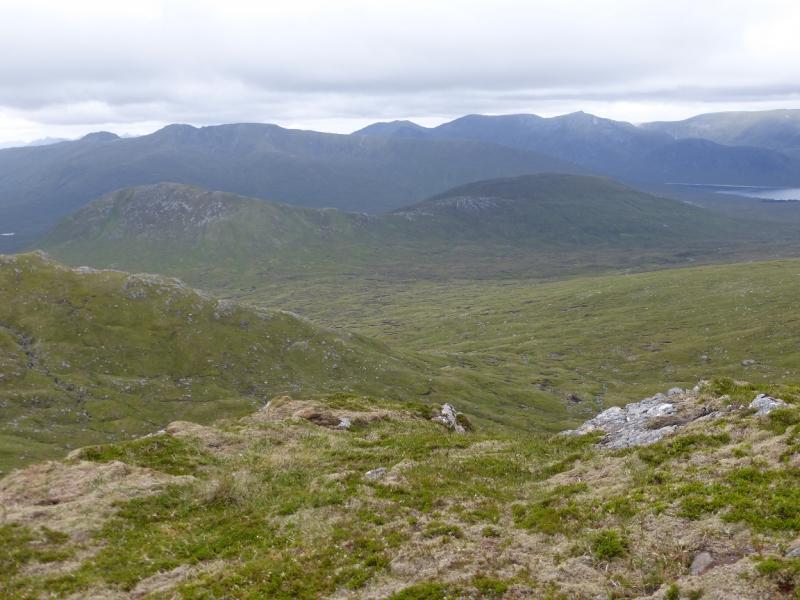
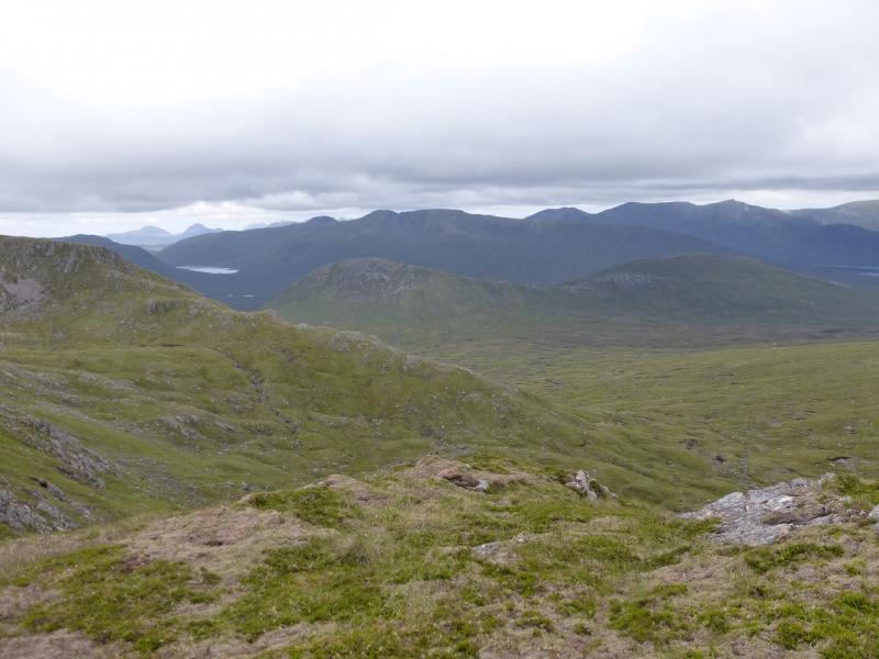
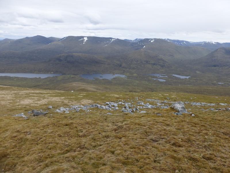
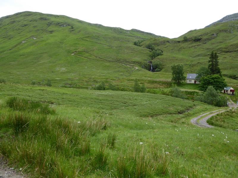
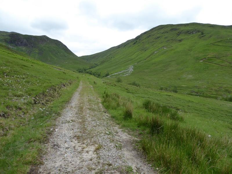
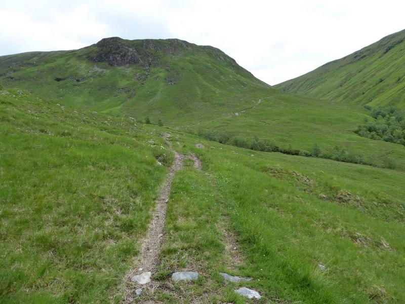
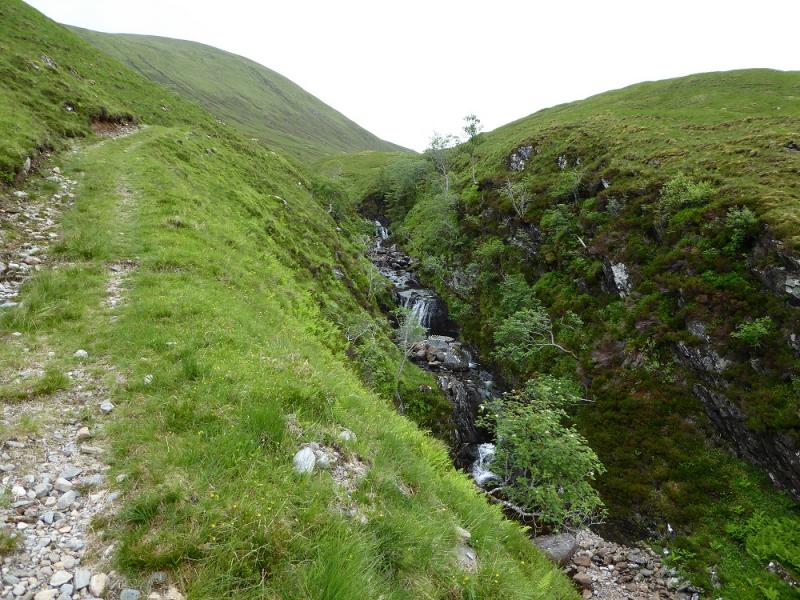
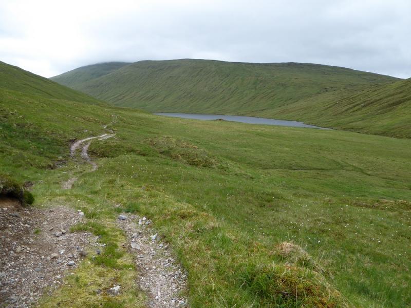
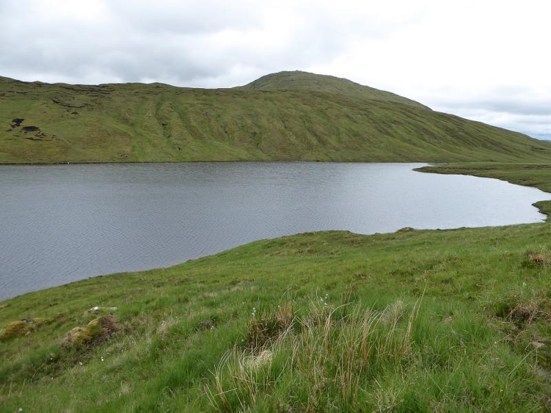
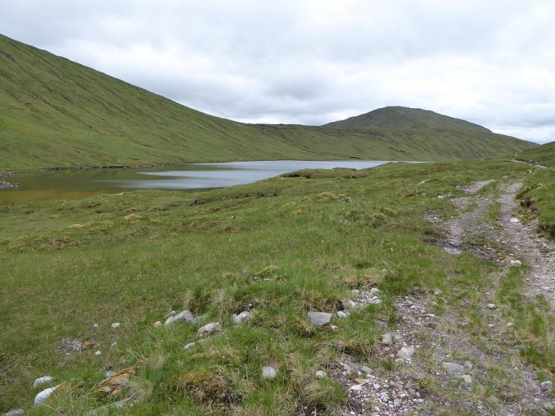
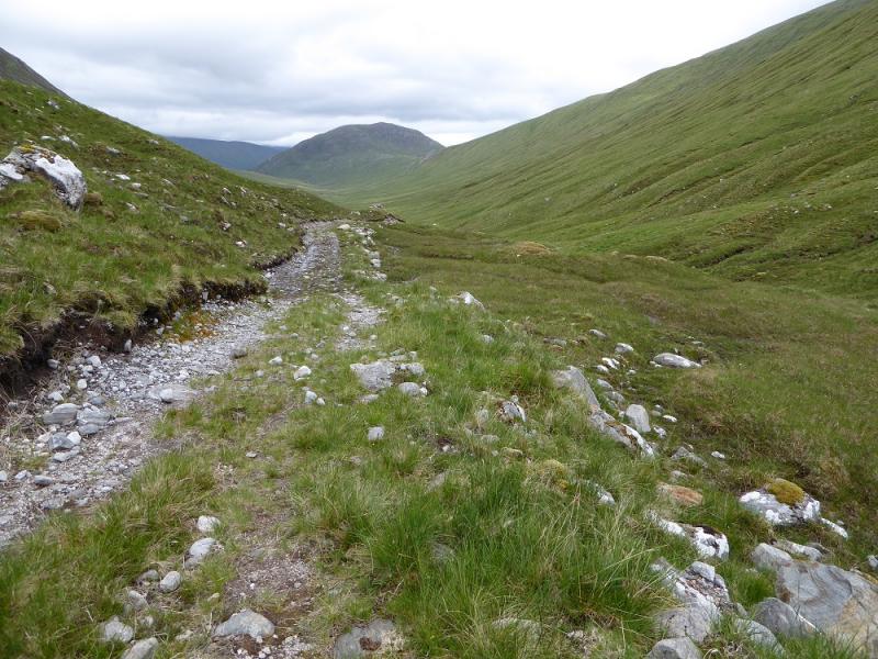
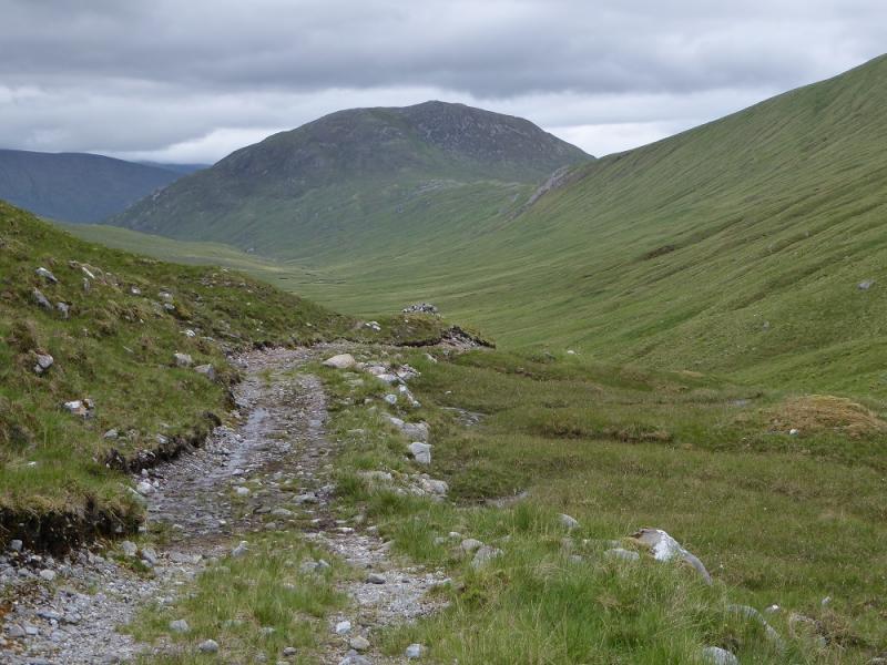
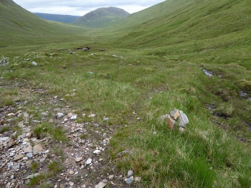
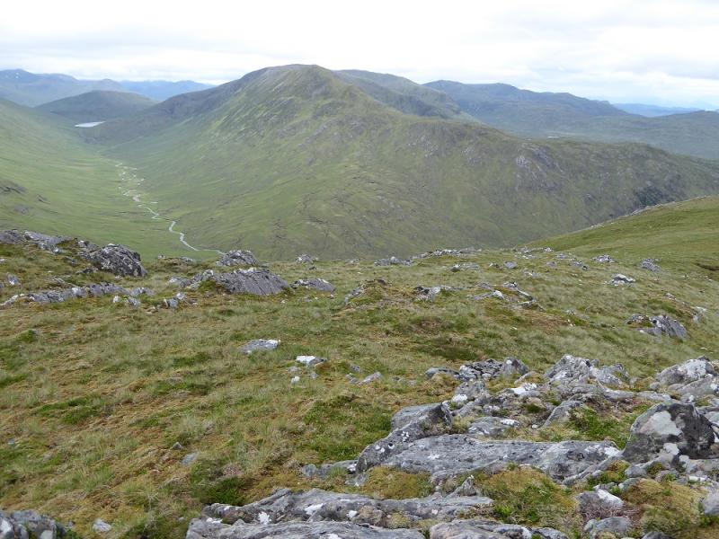
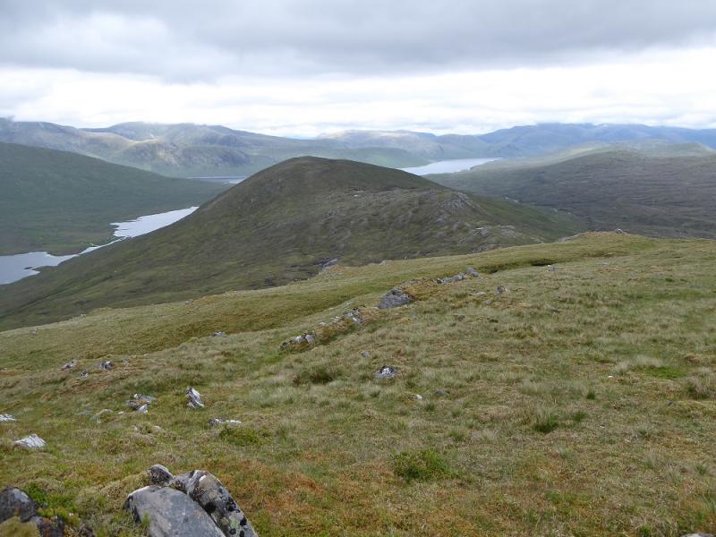
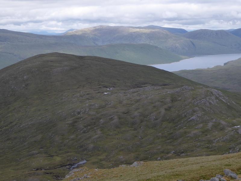
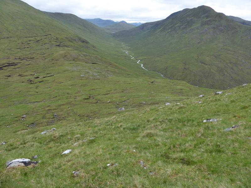
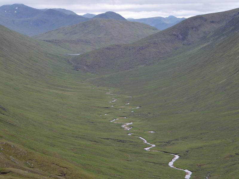
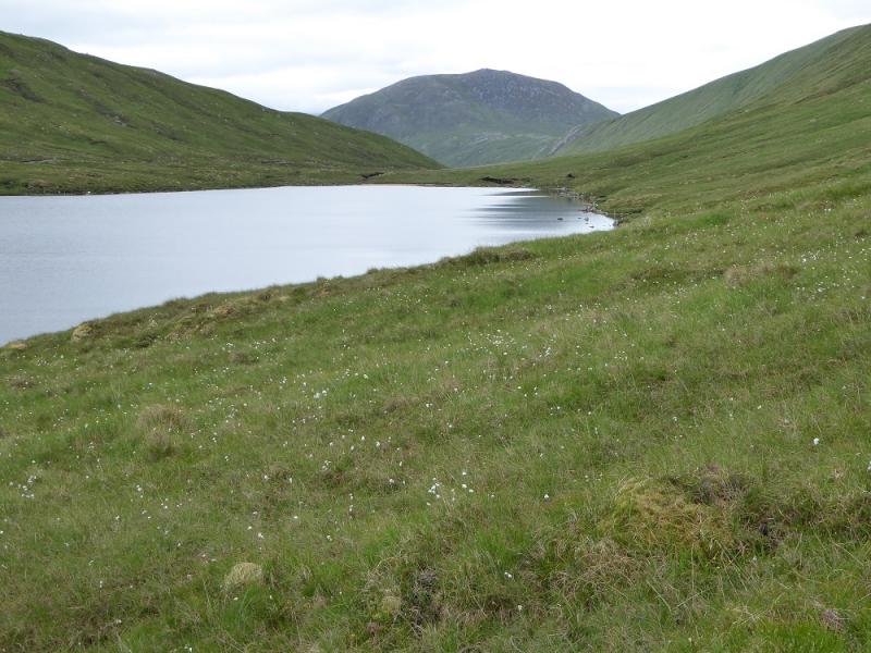
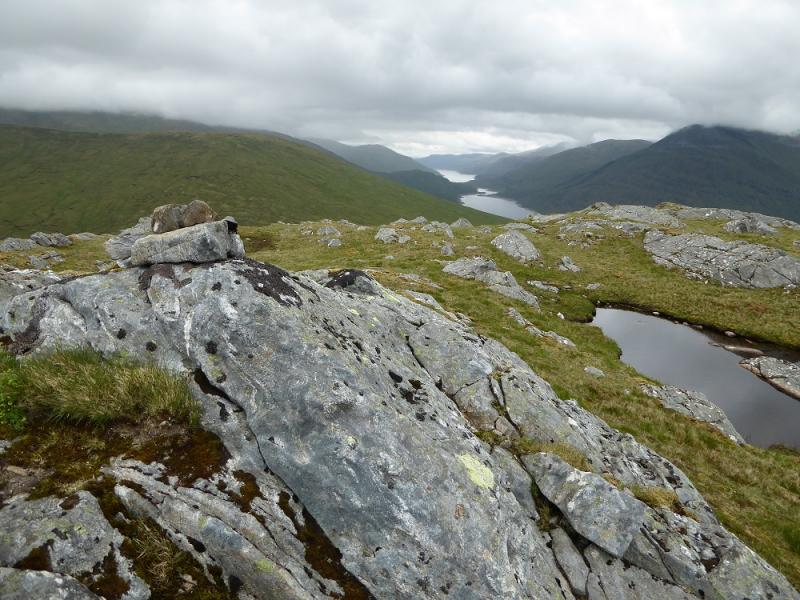
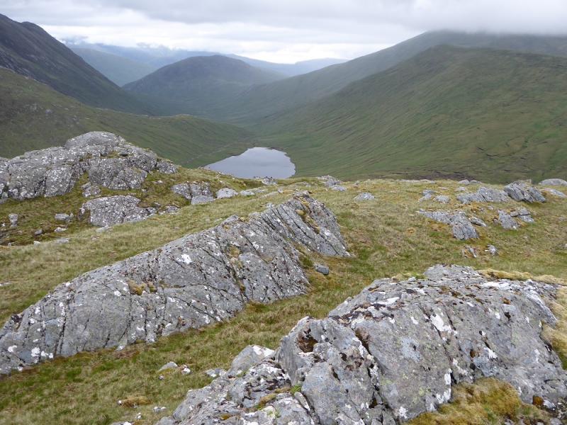
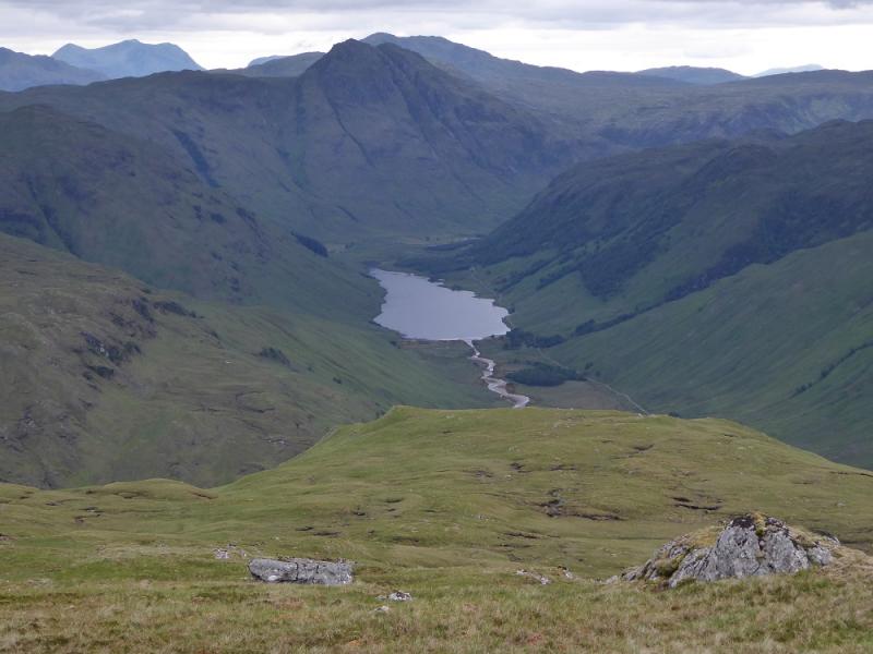
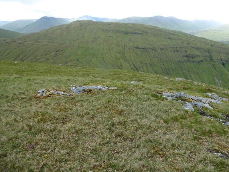
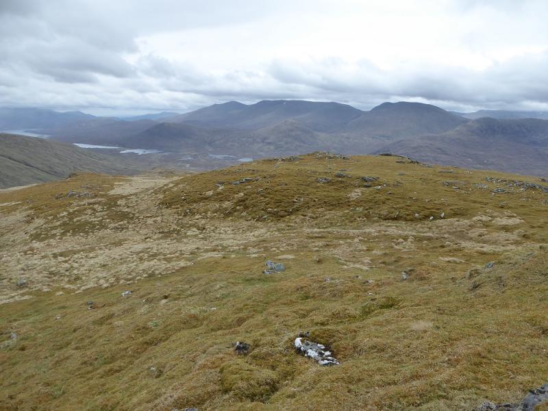
This is a big walk which is tough in places and would be much longer without a bicycle. Glen Elchaig is a lovely glen which is pleasant to cycle up with no major climbs and part of the way is a tarmac road. There are paths for much of the way apart from when actually on the two hills. The going can be quite boggy in places especially to the north of Loch Mhoichean. An Cruachan is the most remote hill of all those within the lists of Munros, Corbetts and Grahams but a bicycle helps considerably. It seems an easier day than Ben Aden from Loch Quoich. The track beyond Iron Lodge is not fit to cycle on. These are lowish hills compared to those around but they give good views especially to the Lurg Mhor and across Loch Monar as well as Aonach Buidhe, Beinn Dronaig and An Socach (North Mullardoch ridge) which sits between the two hills but a traverse of it west flank is not advised as it seems much easier to use Loch Mhoichean path.
Route
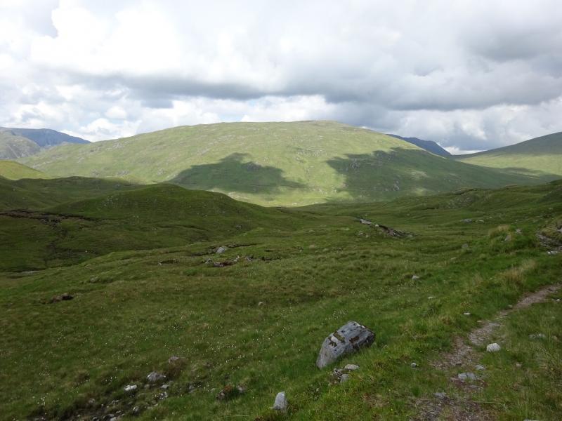
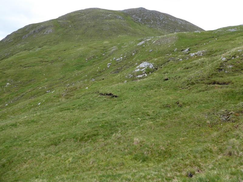
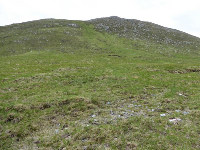
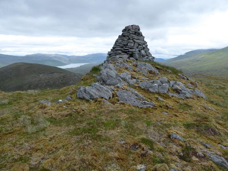
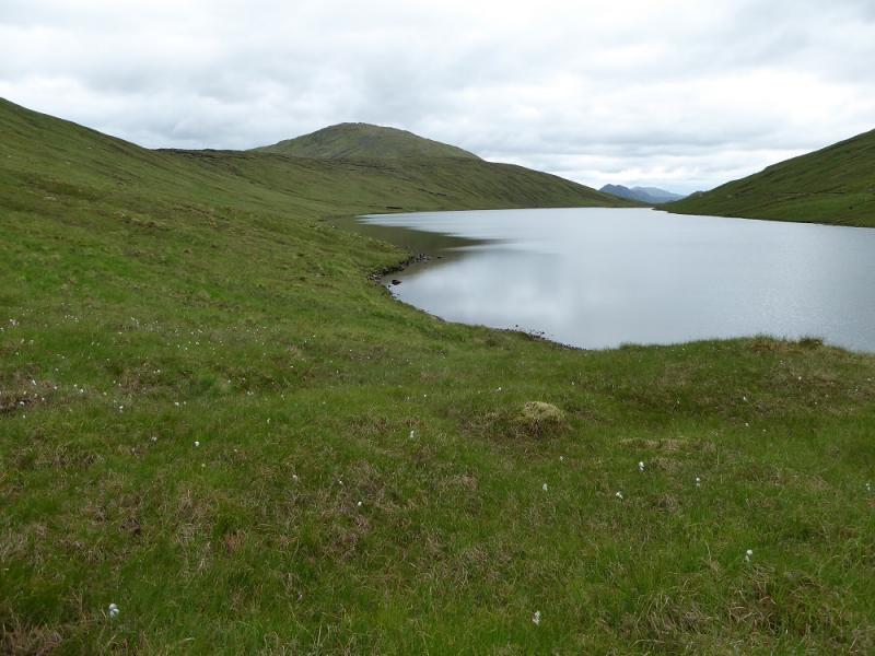
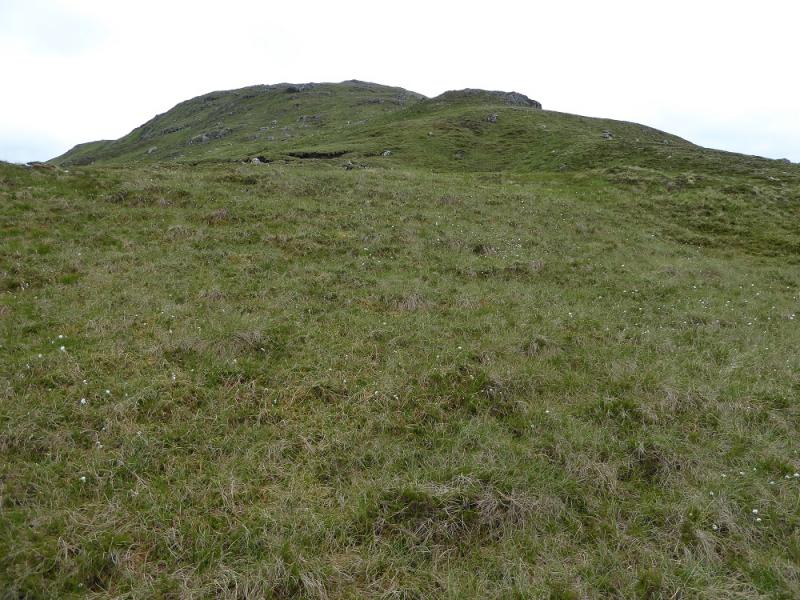
(1) Cycle up Glen Elchaig to where the track splits just before Iron Lodge then continue NE along the same track ignoring the left fork, going N, just before a bridge. The track soon becomes rough and steep but, before too long, the gradient eases. Older OS maps seem to have a stream going up and down hill (!) but there is a col before Loch Mhoichean whose outflow goes N. Follow the track down to where it seems to split. Take the grassier right fork which can be quite boggy in places. Follow this for just over 2 km before making a rising traverse up rough slopes to reach the flat ground about 1 km S of An Cruachan's summit. The final ascent is up quite steep grass, then go right to reach the well built medium cairn which is the summit of An Cruachan, 706 m.
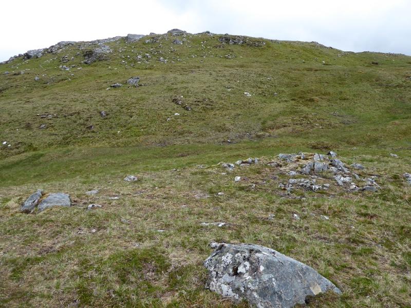
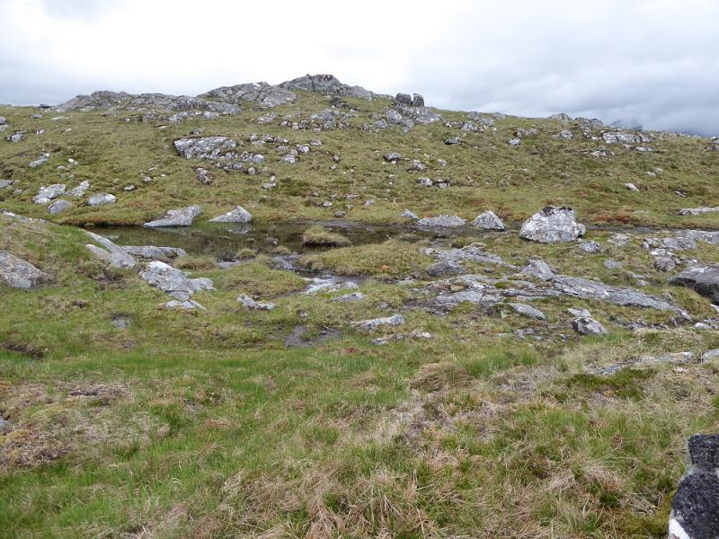
(2) Retrace back to the N end of Loch Mhoichean then make a rising traverse on to the crest then aim for the N ridge and head, S, up this. Note that the flat area at the foot of this ridge would be confusing in mist. The ridge has a few minor shoulders before a tiny cairn, perched on a ribby outcrop, marks the summit of Carn na Breabaig, 678 m. There is a tiny lochan close by.
(3) Descend SW along the easy crest. After a flattish area, the ridge steepens so stay on its right side which is not too bad underfoot and leads down to the track above Iron Lodge. Follow this steep track down to the lodge then back to the bikes.
Notes
(a) This walk took place on 12th June, 2016, and about 15 years ago.
Photos - Hover over photo for caption. Click on to enlarge. Click on again to reduce.