Get Lost Mountaineering
You are here: Scotland » 10b Loch Eil to Glen Shiel » Knoydart & North of Loch Quoich
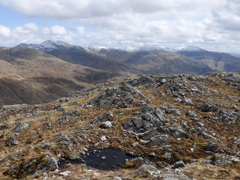
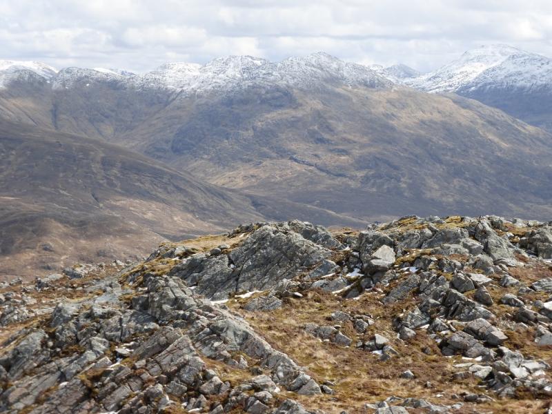
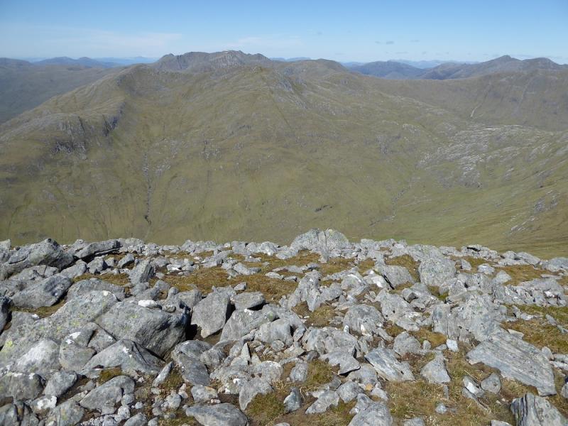
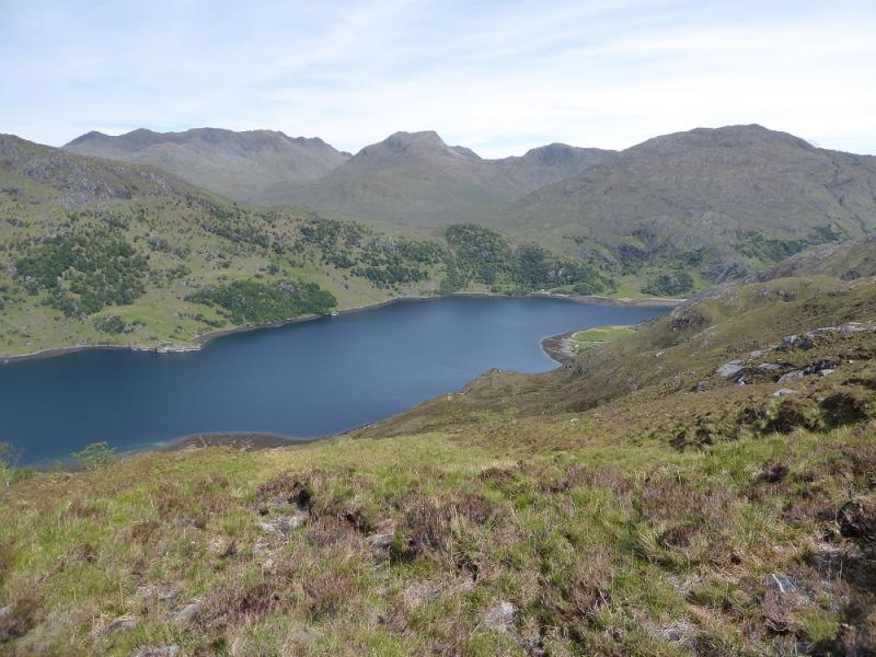
Buidhe Bheinn from Kinloch Hourn
Buidhe Bheinn from Kinloch Hourn
Start/Finish
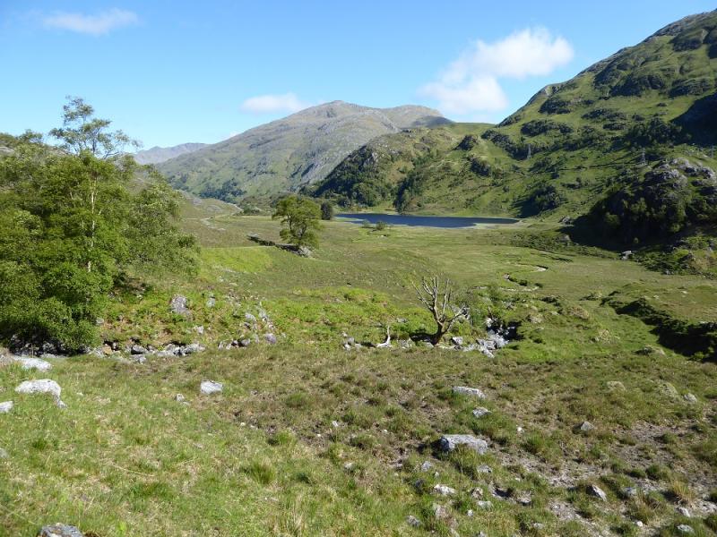
Kinloch Hourn which is the end of the 22 mile long road which leaves the A87 road to Skye a few miles west of Invergarry. Invergarry is about 25 miles north of Fort William on the A82 road to Inverness. The road is not too bad until the end of Loch Quoich but after that it gradually deteriorates. The final descent into Kinloch Hourn is very narrow (anything wider than a car will struggle) with very few passing places on a road which is rapidly deteriorating into a rough track. There is plenty of parking for which the charge is £1. There is a simple cafe open during the day in season.
Distance/Time
10 km About 5 – 6 hours
Peaks
Buidhe Bheinn, 885 m, NG 956 087. OS sheet 33.
Introduction
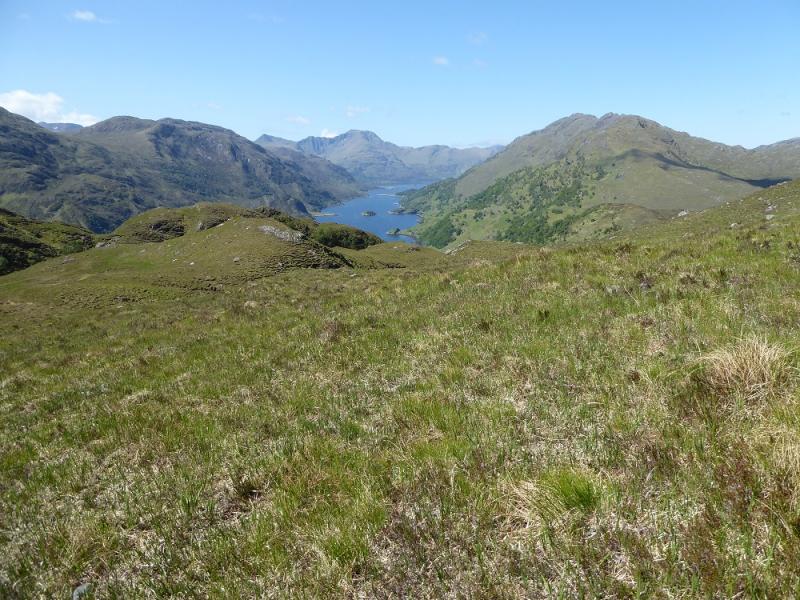
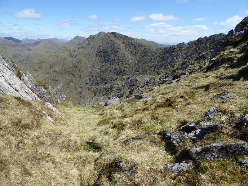
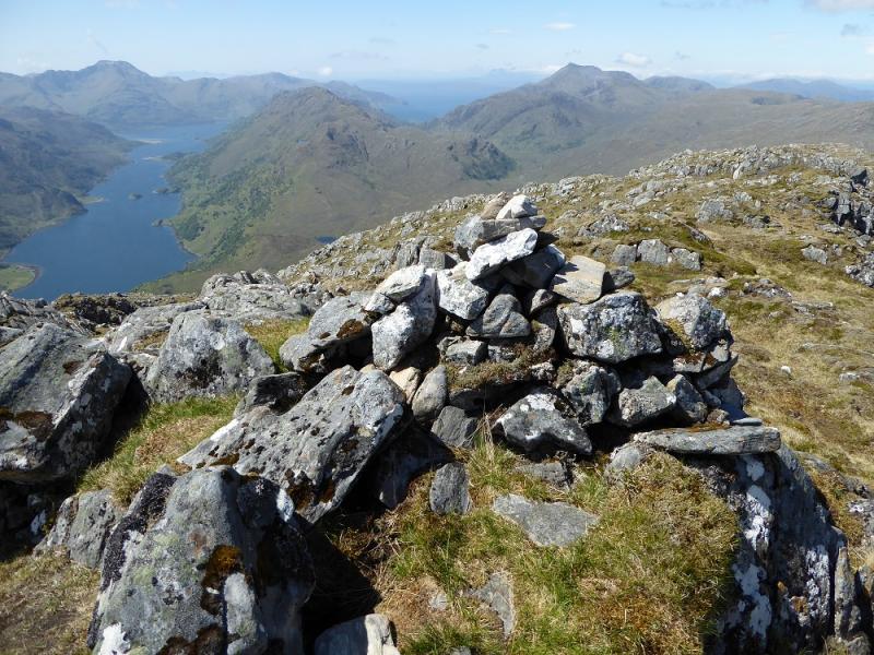
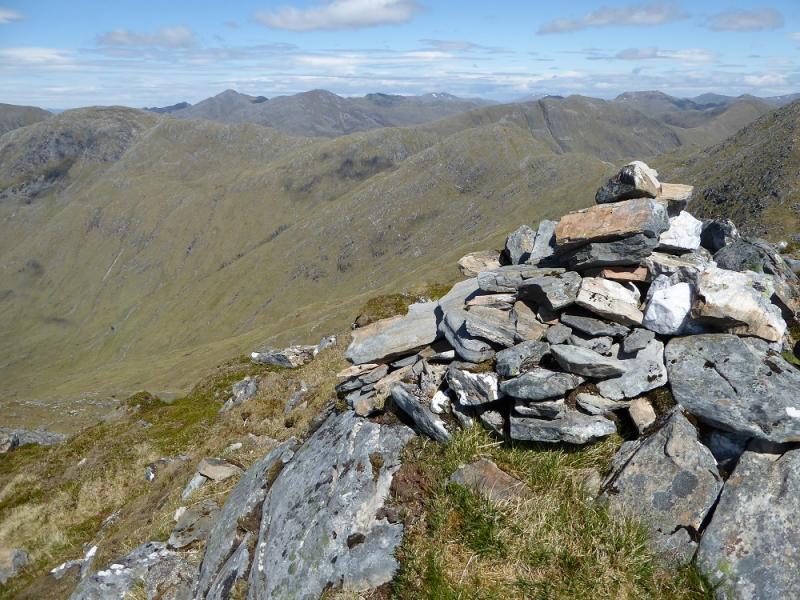
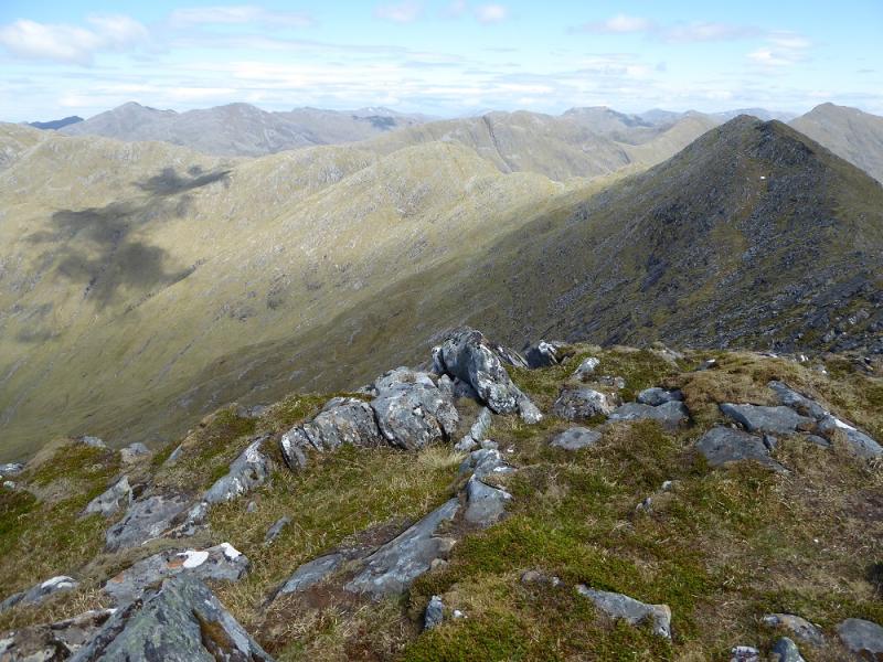
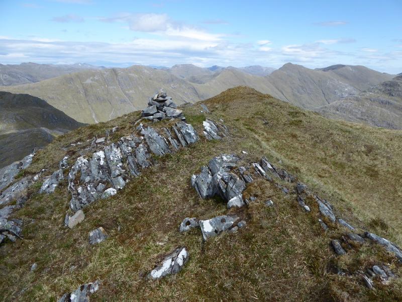
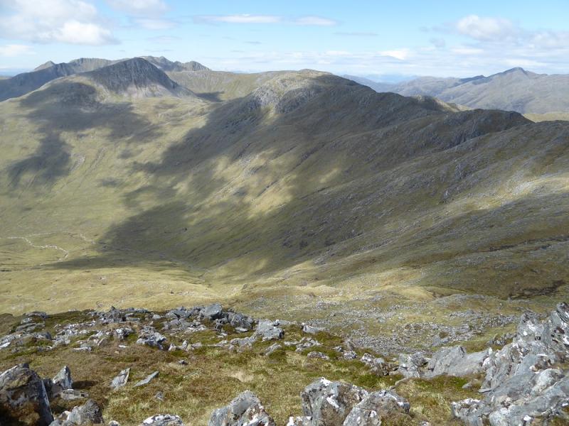
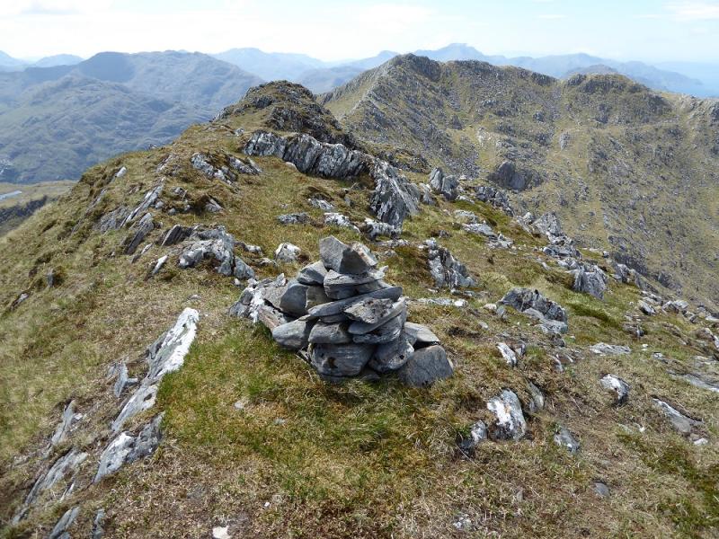
This is a tough walk with a brutally steep track early on. Once the stalker's path is left, the going can be quite rough. The summit is not the one suggested on the map (879 m) but the next prominent top along the north east ridge which eventually leads to Sgurr a' Bhac Chaolais which lies on the South Glen Shiel Ridge. Both tops have the same height but not enough drop between them to be considered as separate Corbetts so they are, effectively, twins. It is possible to climb both together but it is more usual to ascend them separately. The ascent of Sgurr a' Bhac Chaolais is also uploaded as a separate route. This route gives a circular walk not usually offered. Given the strenuous nature of this walk, the rewards for climbing it are excellent views to the South Glen Shiel Ridge, The Saddle, Sgurr na Sgine, Sgurr nan Eugallt and Sgurr a' Mhaoraich. Following a survey in late 2012, it was found that Buidhe Bheinn was, in fact, slightly higher, by 0.3 m, than Sgurr a' Bhac Chaolais so the former is now a single Corbett and no longer part of a twin.
Route
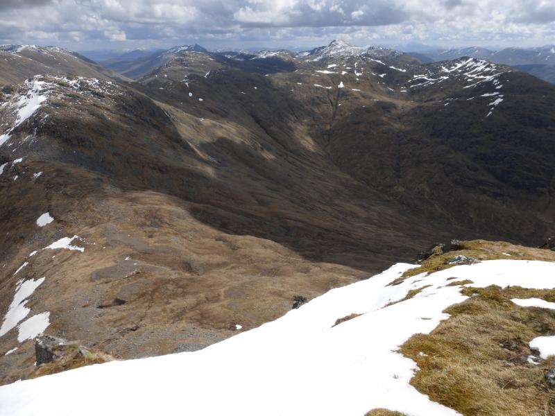
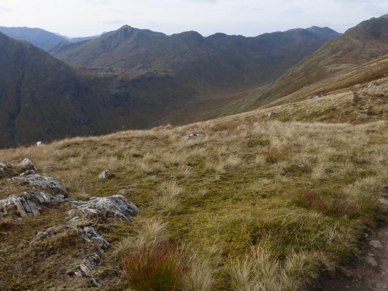
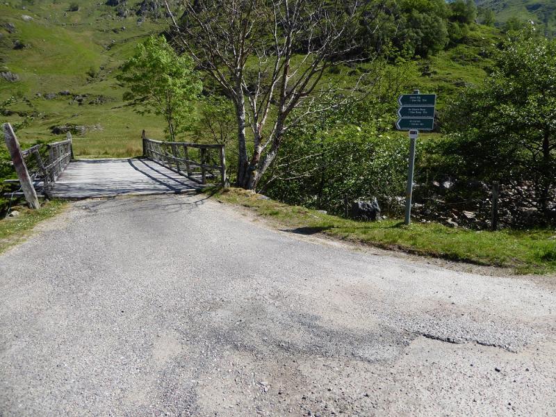
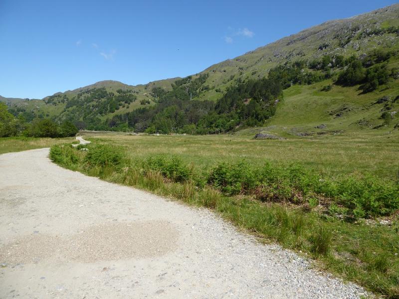
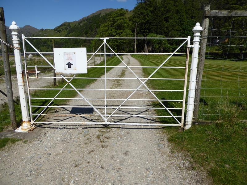
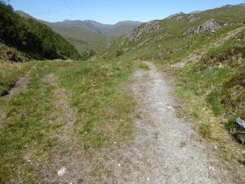
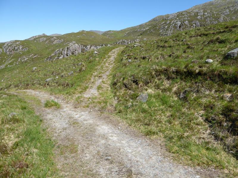
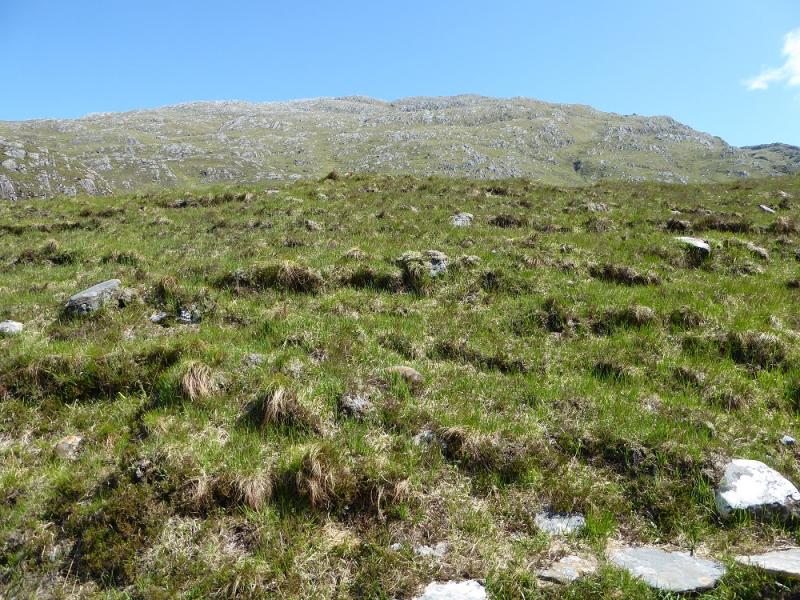
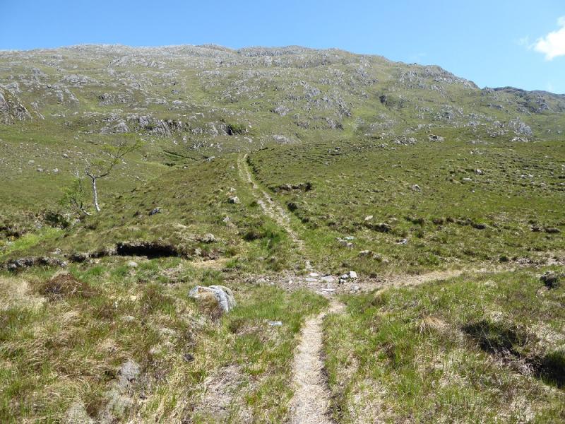
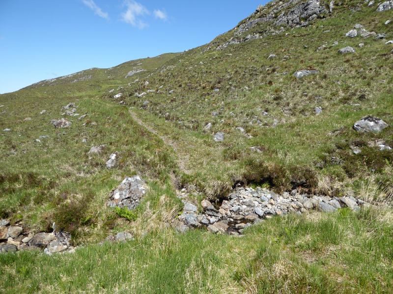
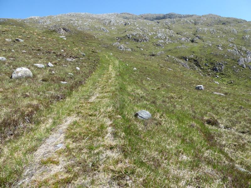
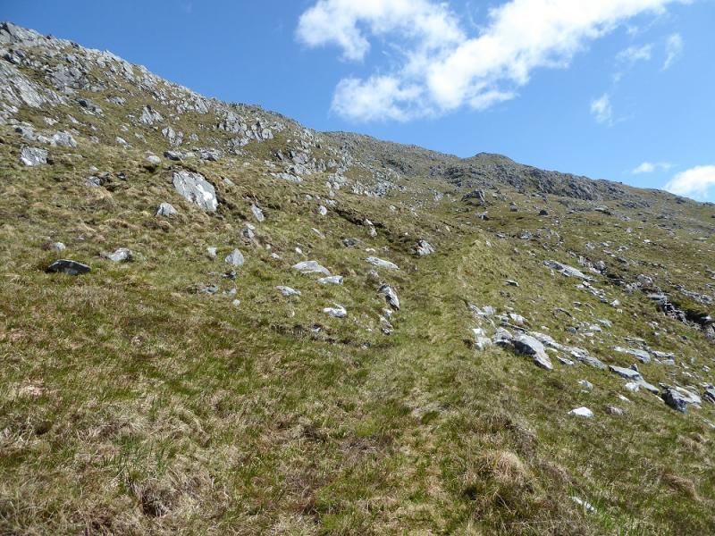
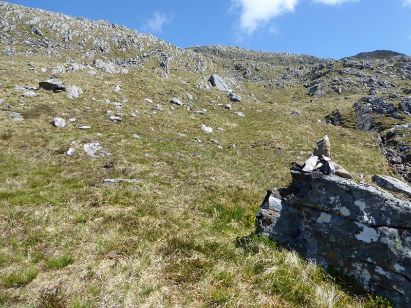
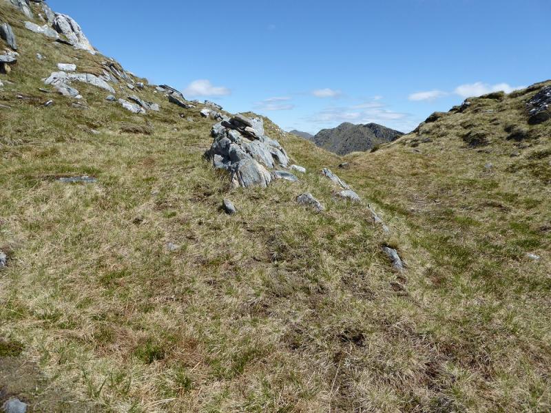
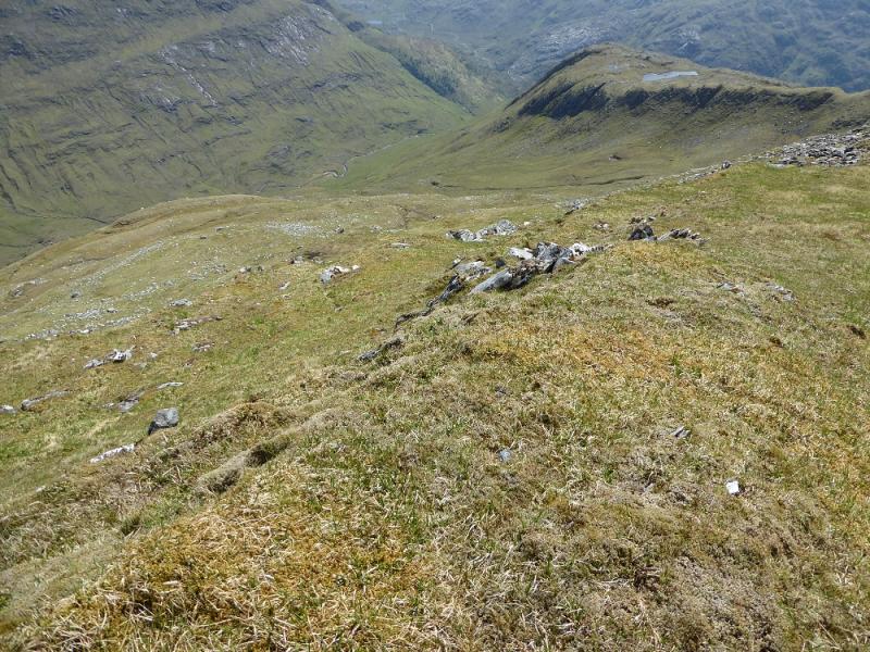
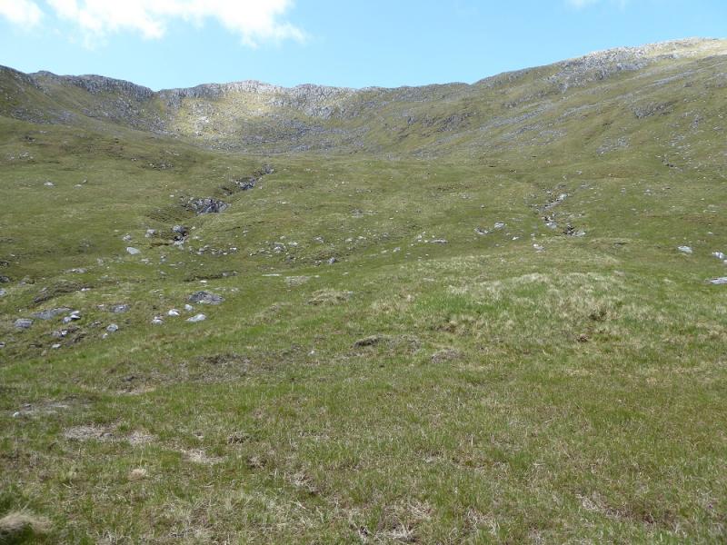
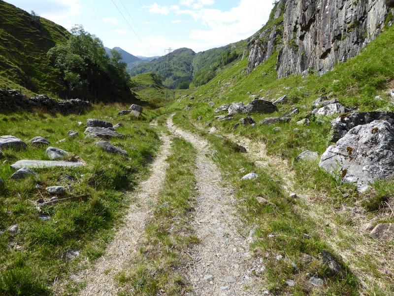
(1) Walk back along the road and cross the bridge across the river. Follow the signed track which goes to the side of a house before soon starting to climb. Ignore any turnings off to the right and continue up the main track which soon becomes very steep indeed before easing as it reaches the pylons. Continue to its highest point where an obvious path goes off right. Follow this almost level path before going left over a small stream. Continue up on the good zig-zagging path until it peters out at a boulder, near a stream, with a small cairn on it. From here follow the stream up taking the left fork when it splits and reach a shallow dip on the crest from where the true summit can be seen on a clear day. Go right, SE, on the crest and reach the small cairn on Top 879. Descend carefully down the NE ridge which can be awkward but not particularly difficult in summer conditions. There is a faint path along the crest. From the first dip, ascend up to the medium cairn which marks the summit of Buidhe Bheinn, 885 m.
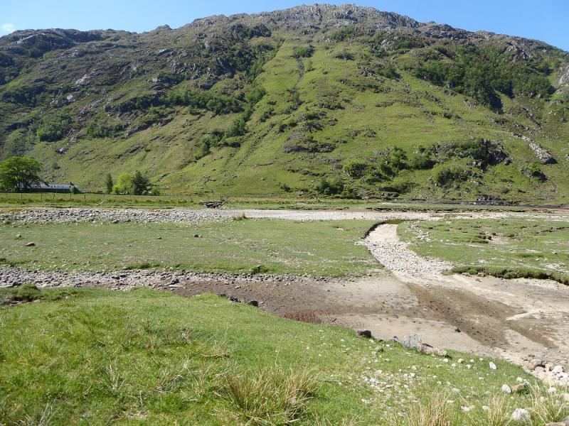
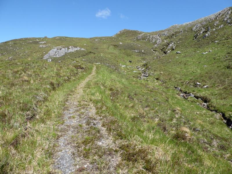
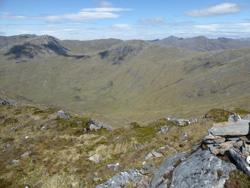
(2) From the summit, descend easy grassy slopes, where it is easy to weave around, heading SE towards the glen below where a track will be visible in clear weather. The SE ridge of Top 879 is a guide but don't go too close to it. Instead aim for its bottom in the glen. A few streams may have to be crossed which could be awkward in wet weather. At the bottom, don't cross the main river in the glen to gain the track but stay on the W side to pick up a stalker's path, faint and boggy initially, which follows the glen SW before turning NW roughly below the pylons. The path soon becomes a track and is easily followed down to join the outward track just above the house.
Notes
(a) This walk took place on 2nd June, 2016, and once before.
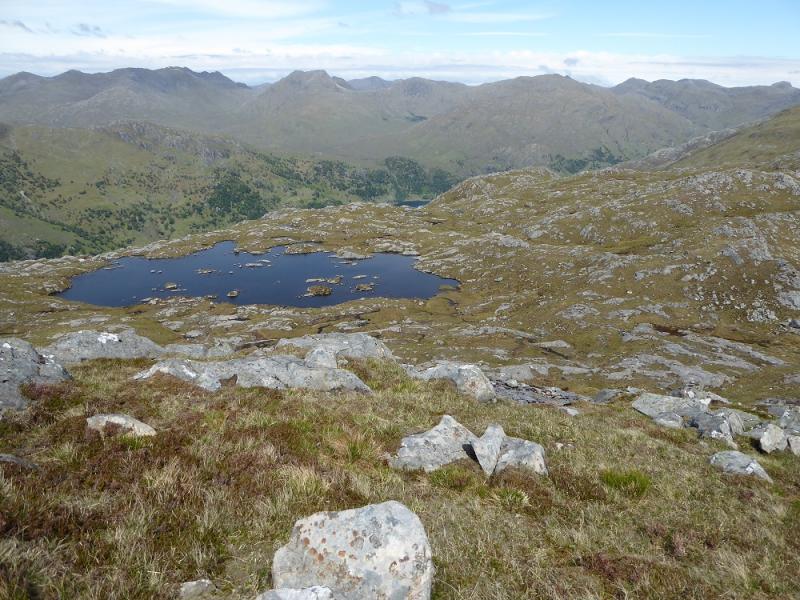
Photos - Hover over photo for caption. Click on to enlarge. Click on again to reduce.