Get Lost Mountaineering
You are here: England » Lake District » 1 Eastern Fells
Nethermost Pike & Dollywaggon Pike via Grisedale from Glenridding
Nethermost Pike & Dollywaggon Pike via Grisedale
from Glenridding
Start/Finish
Glenridding Village at the south end of Ullswater. There is an expensive public car park, with the same charges all year round, but out of season parking is allowed on some nearby roads. Please do not park where residents could be inconvenienced.
Distance/Time
15 km About 6 – 7 hours
Peaks
Nethermost Pike, 891 m, NY 344 142.
Dollywaggon Pike, 858 m, NY 346 131.
OS 1: 50 000, Sheet 90. OS 1: 25 000 Outdoor Leisure 5, English Lake District NE Area.
Introduction
This is an attractive but strenuous walk. The ascent up the lower section of Nethermost Beck is steep and the continuation up the side of Eagle Crag is even steeper with little hint of a path and slippery when wet. The final ascent up Nethermost Pike is steep but there is a reasonable path although there is a short arete near the top which needs care but is not a scramble. The descent down The Tongue on Dollywaggon Pike is pleasant until lower down when one must weave around some significant crags before reaching Ruthwaite Cove where the path was damaged by Storm Desmond in December, 2015.
Route
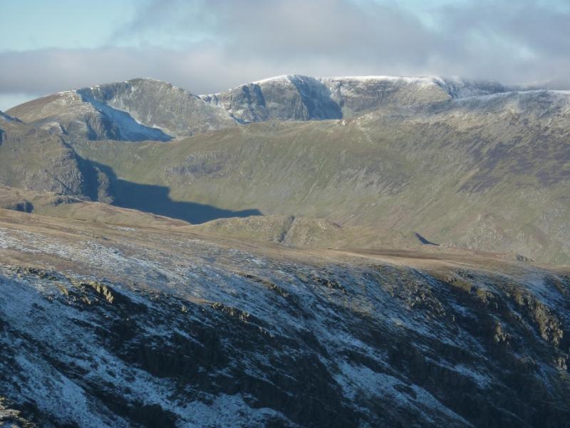
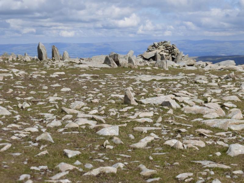
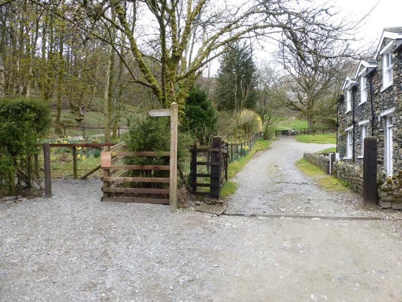
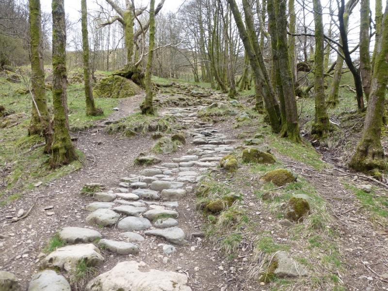
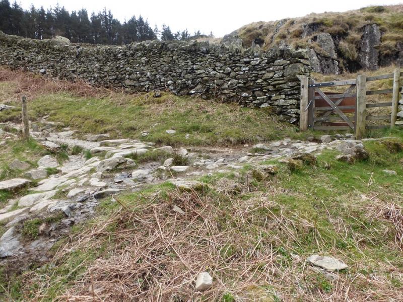
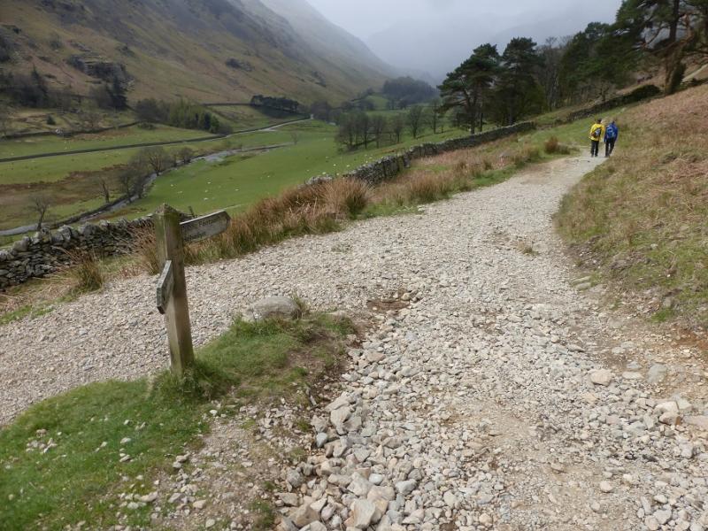
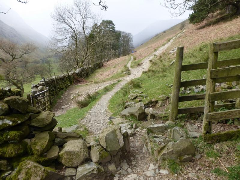
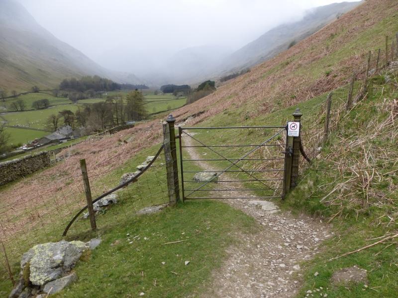
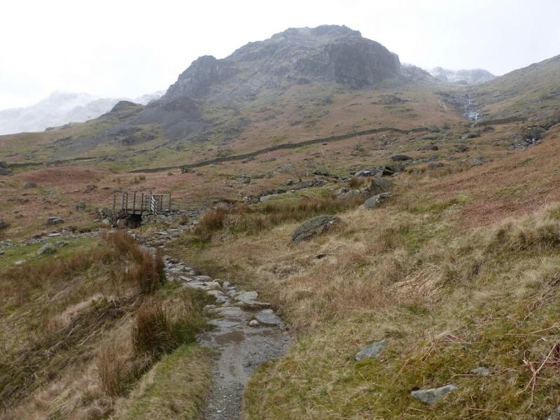
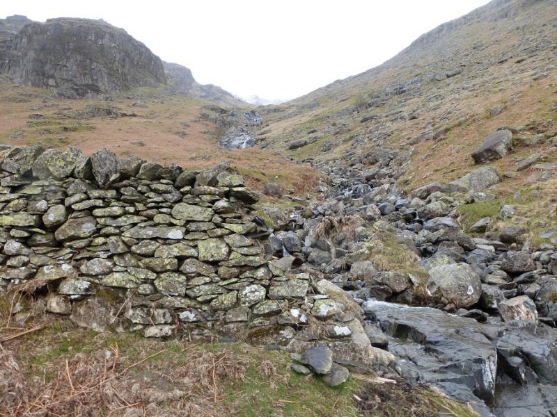
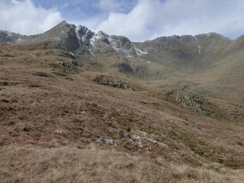
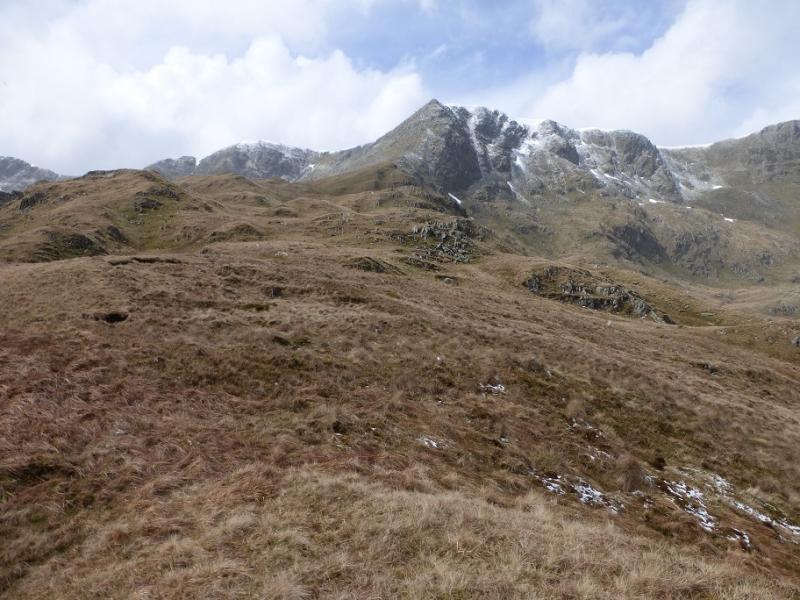
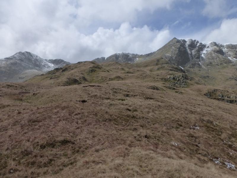
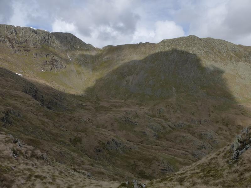
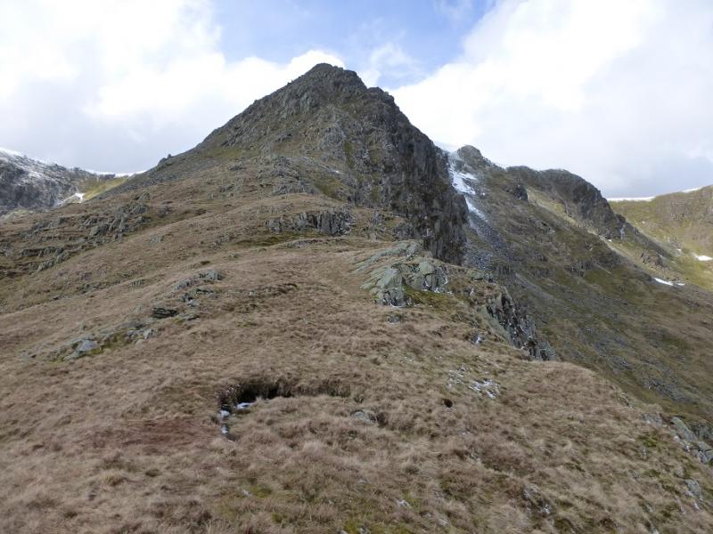
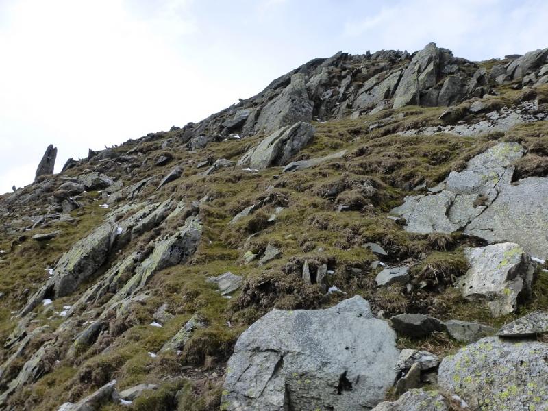
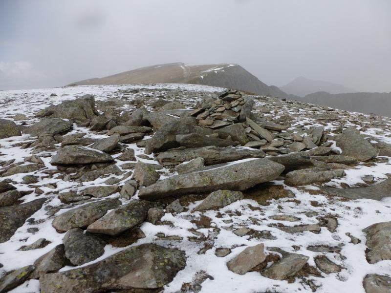
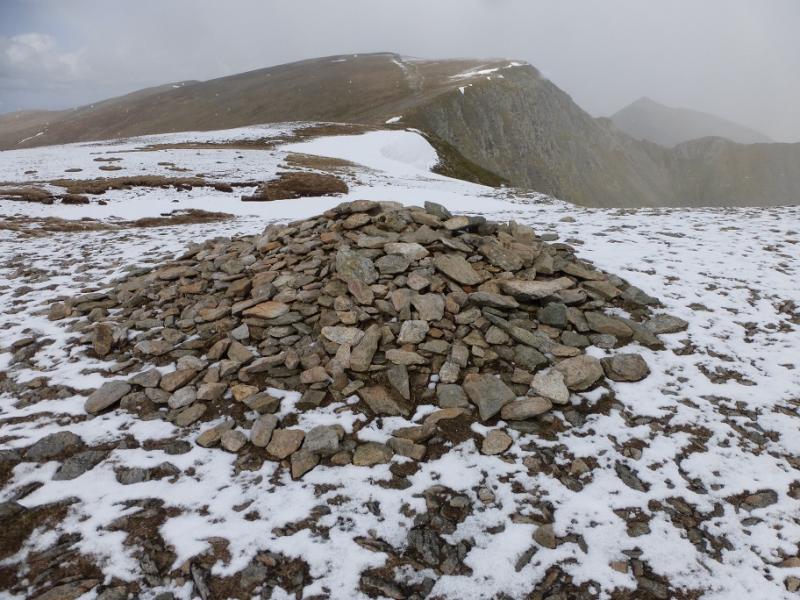
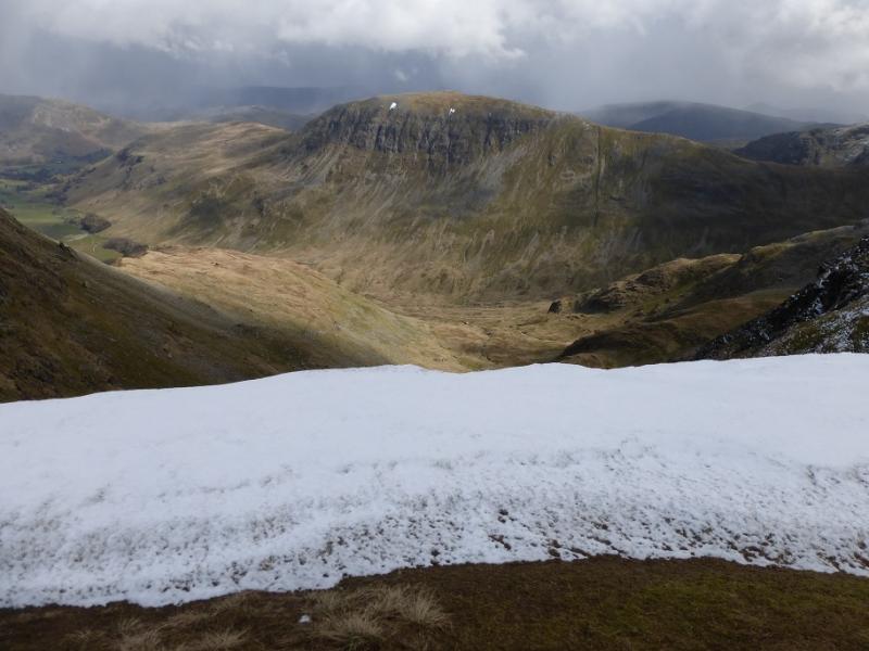
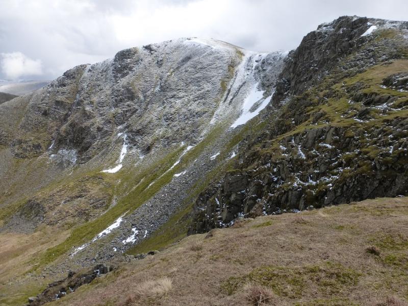
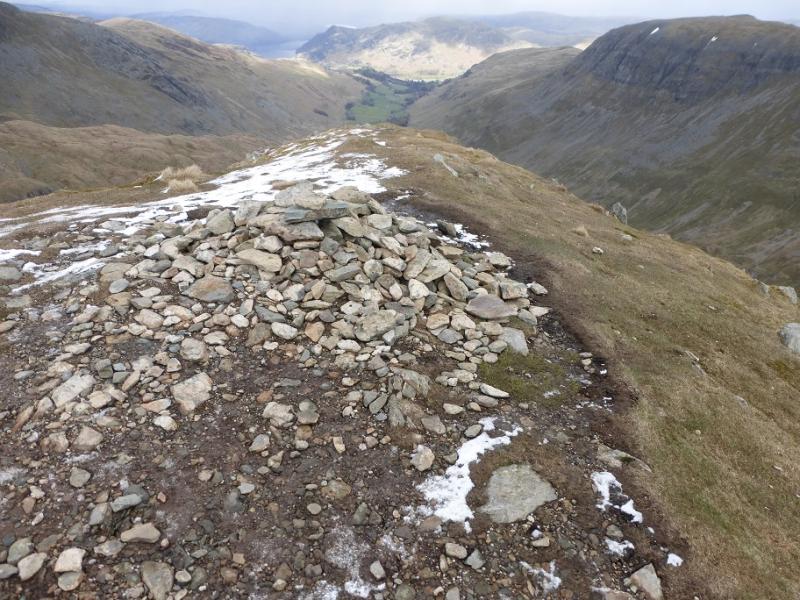
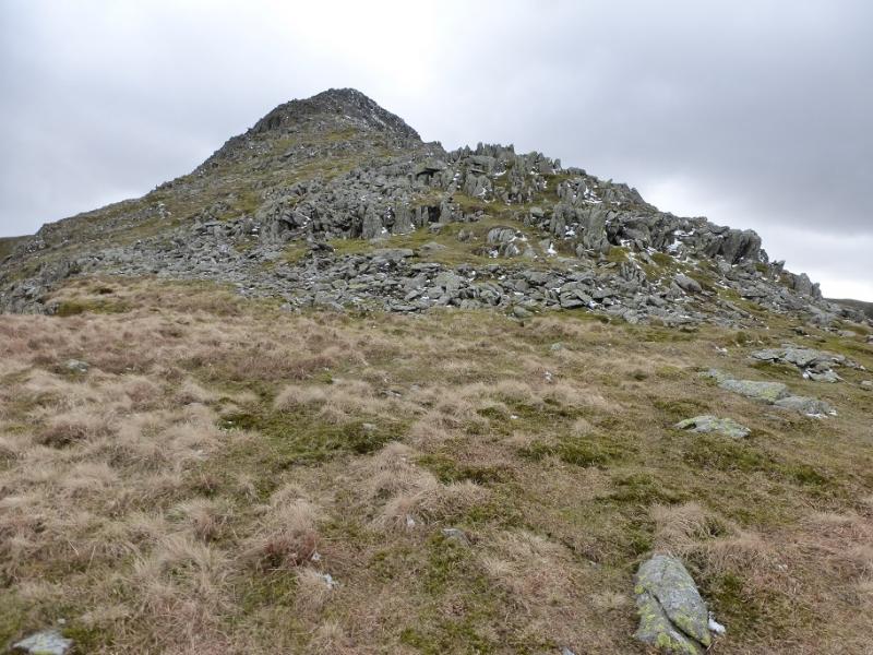
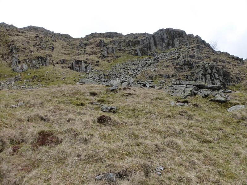
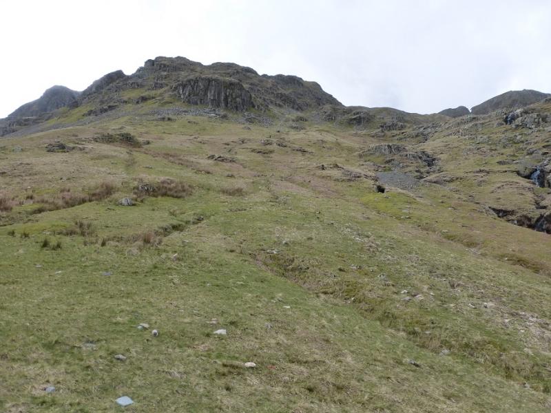
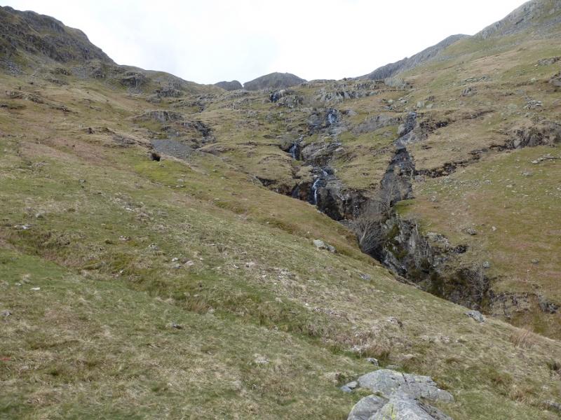
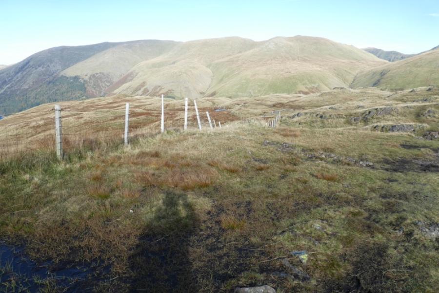
(1) From Glenridding village, walk up the road on the south side of the beck, passing the Catstye Cam outdoor shop (well worth a look). Continue past the village hall and soon reach a sign for Lanty's Tarn. Follow the obvious path to reach a second sign and soon reach the small and picturesque Lanty's Tarn. Continue on the main path, with the tarn on your left, and start descending towards Grisedale. Soon the path starts to contour up the valley side. Reach two gates. Go through the upper one then follow the level path by a wall. This leads all the way up Grisedale. After passing a wood, reach the foot of Nethermost Beck below the very obvious Eagle Crag. There is a faint path up both banks but the S side will be overgrown by ferns in the summer. Reach a wall then continue up, on the S side if possible. If one follows the wall N, it soon crosses an old track which started from the valley path but is not obvious from there. The track can be followed up if one wishes. Once Eagle Crag has been passed, pick a way up the very steep slopes with the crag to your left. The ascent starts just before the first boulder field and is largely pathless on mossy grass. Reach the crest which is the ill-defined E ridge of Nethermost Pike and follow it (path hard to find) to where the ridge steepens considerably. There is a reasonably good path up from here. Hands will be needed in places but it isn't a scramble. Higher up, the ridge narrows to an arete but is not too difficult and very soon the rocks are left behind leaving an easy walk across grassy ground to a cairn beyond which is a second cairn is reached which marks the summit of Nethermost Pike, 891 m.
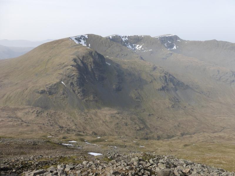
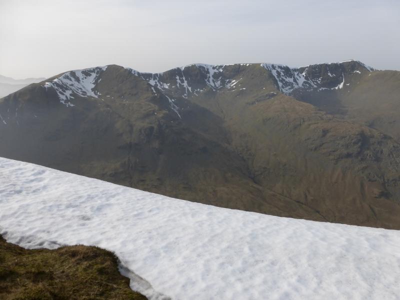
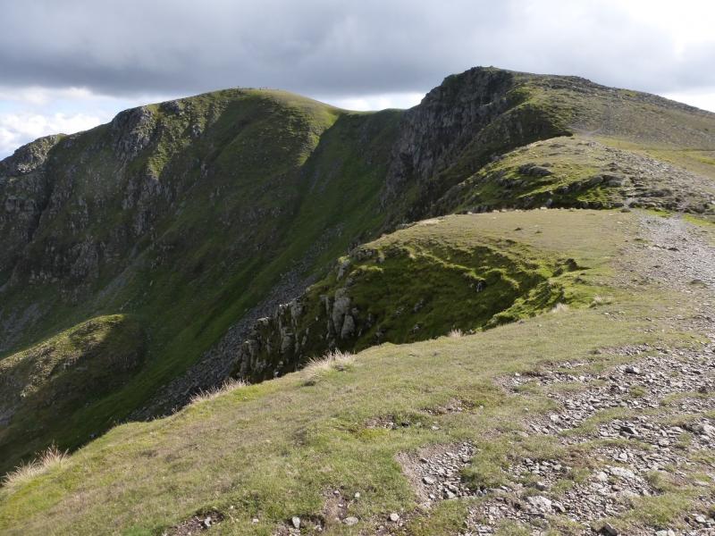
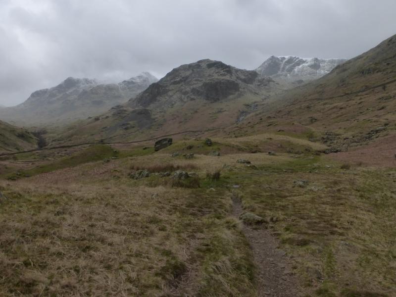
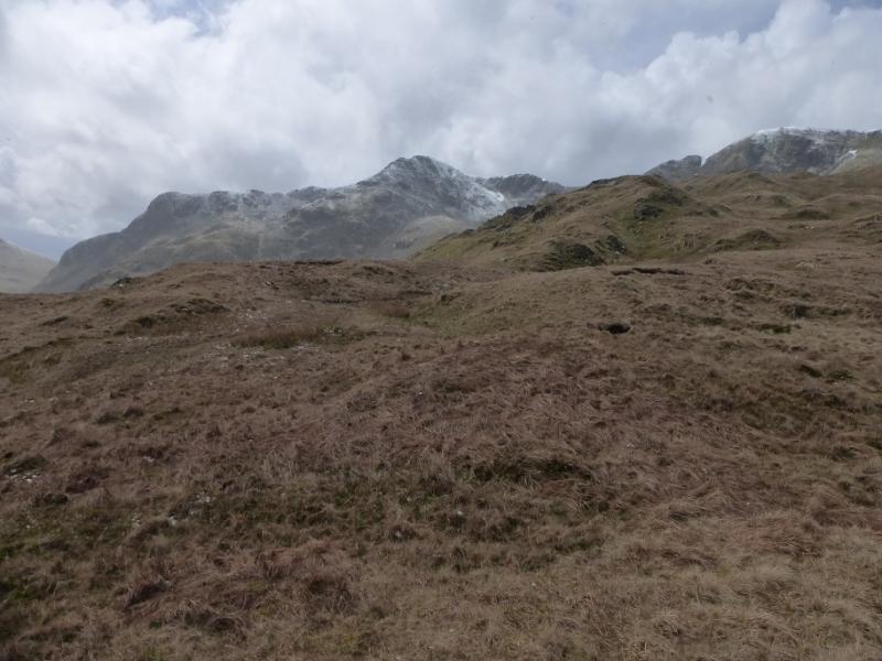
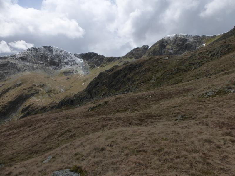
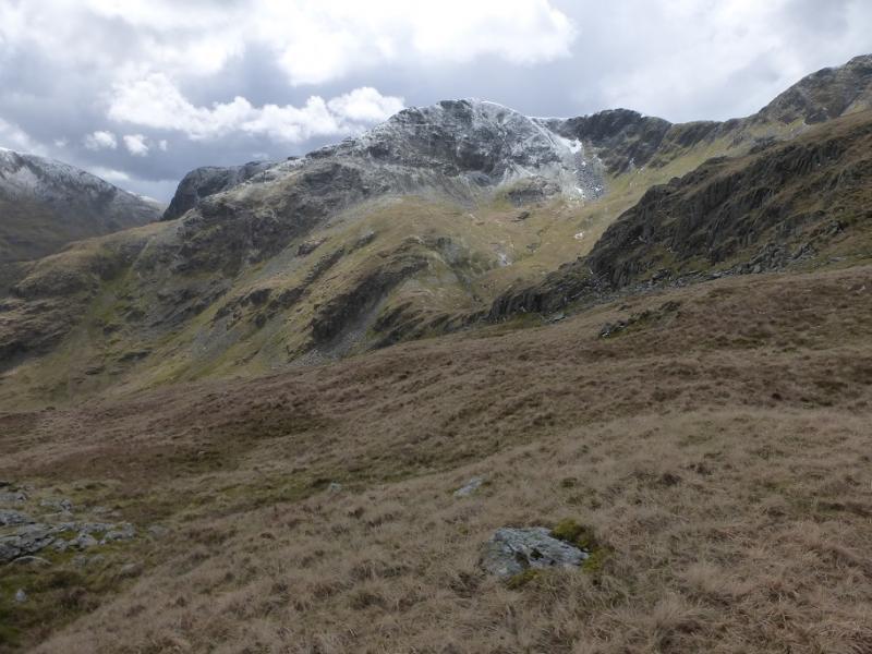
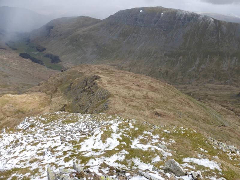
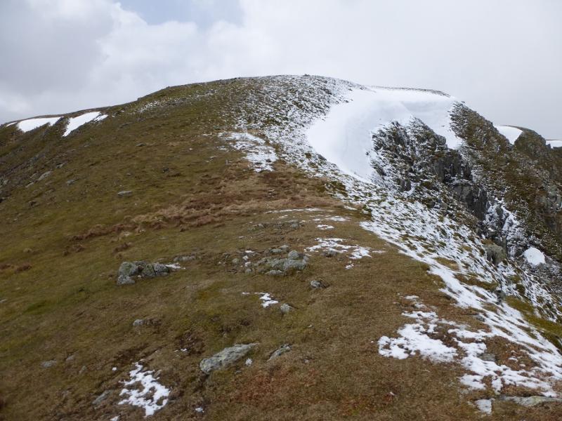
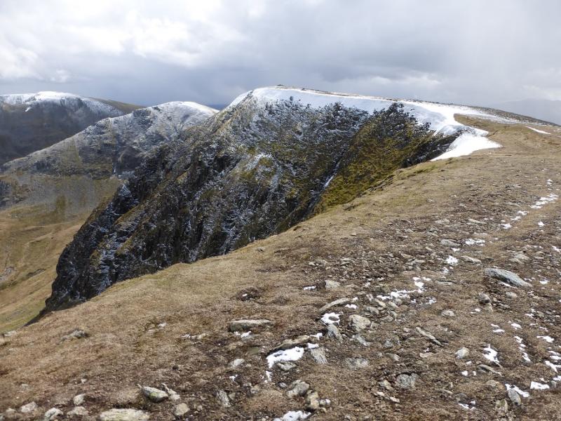
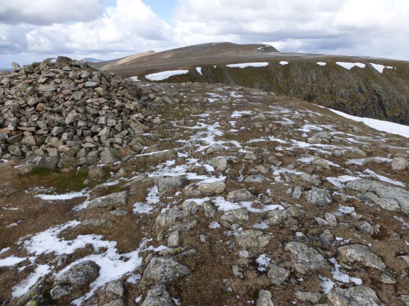
(2) Descend S to a deepish col then ascend following the corrie rim on the left. Reach the top of High Crag then continue down again to another dip. Follow the path up to reach a cairn which is the N top. Continue, after a shallow dip, curving around to the left to reach a large cairn. About 40 m further ENE is a smaller cairn which seems to be slightly higher so this is the summit of Dollywaggon Pike, 858 m.
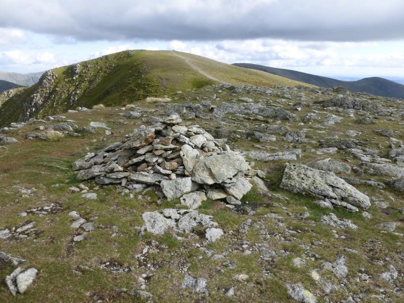
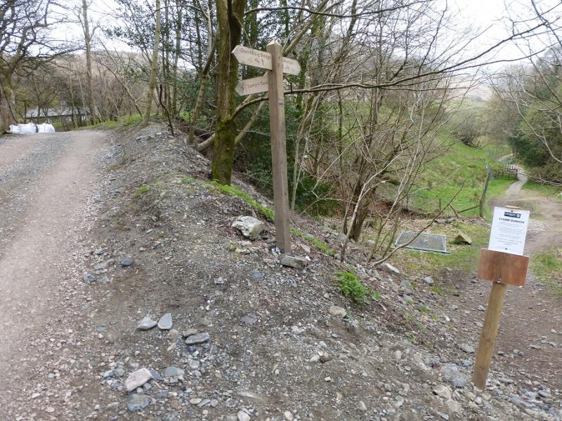
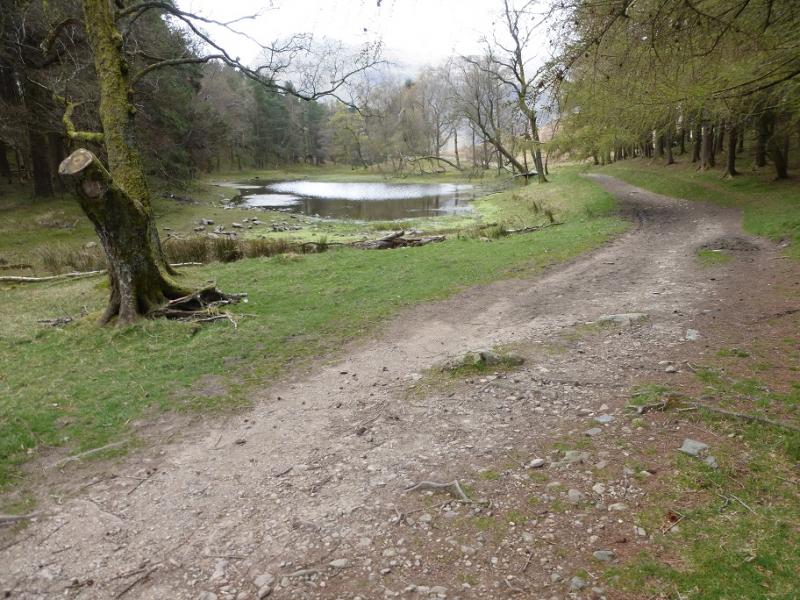
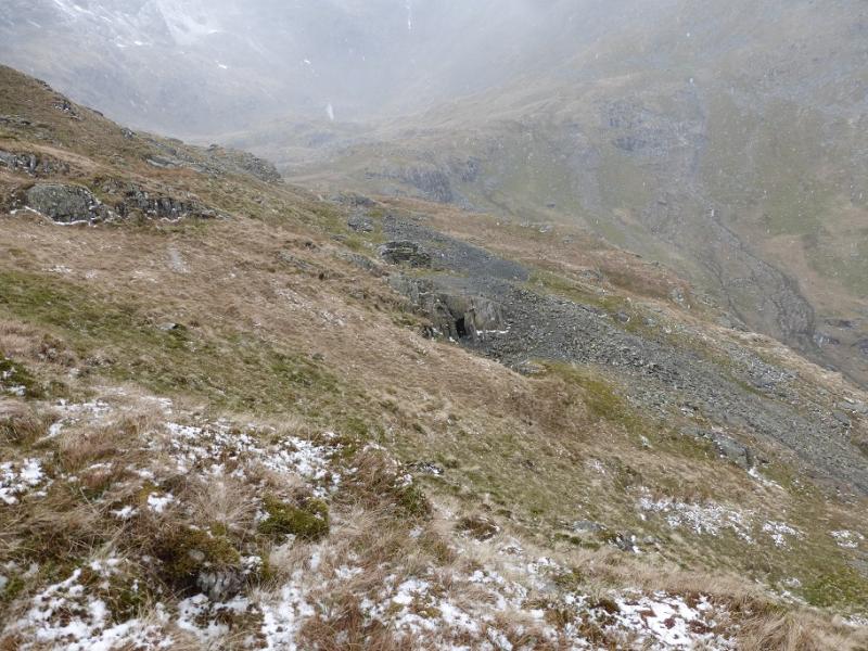
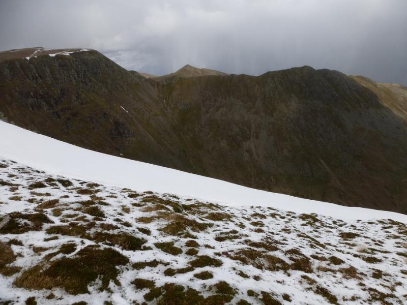
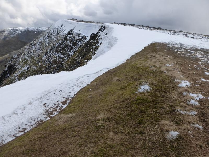
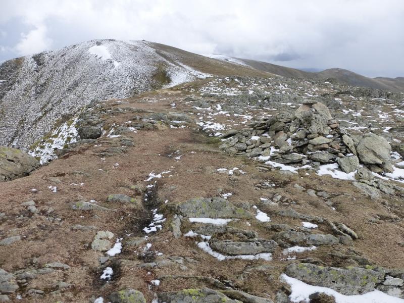
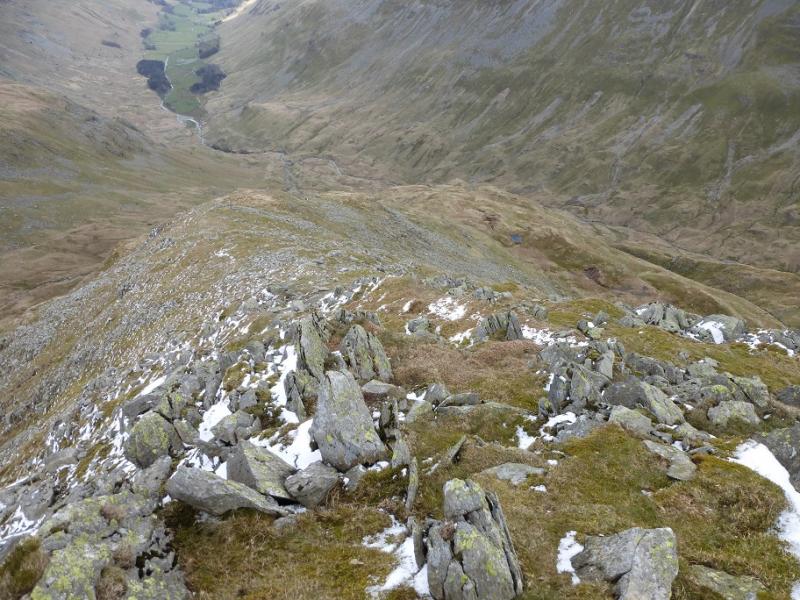
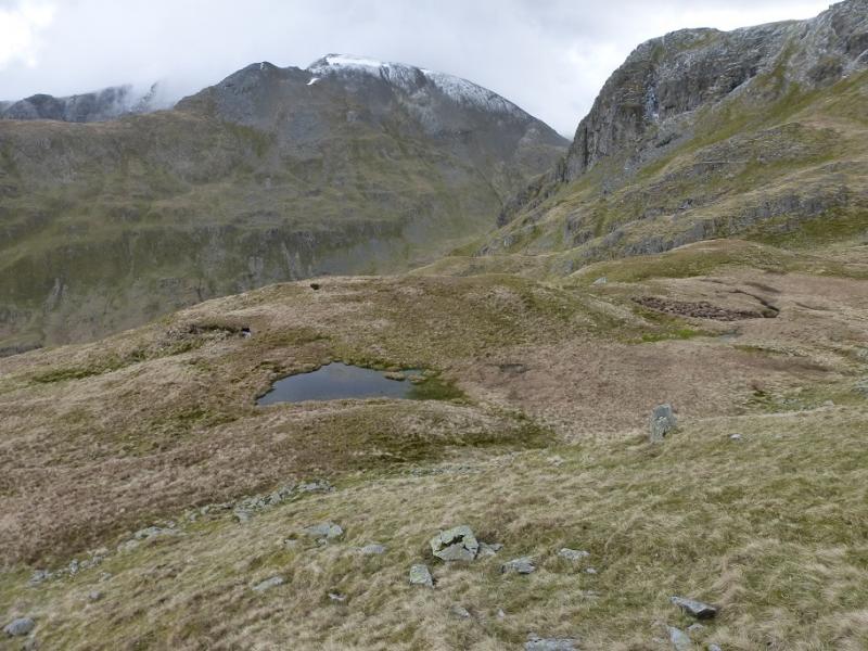
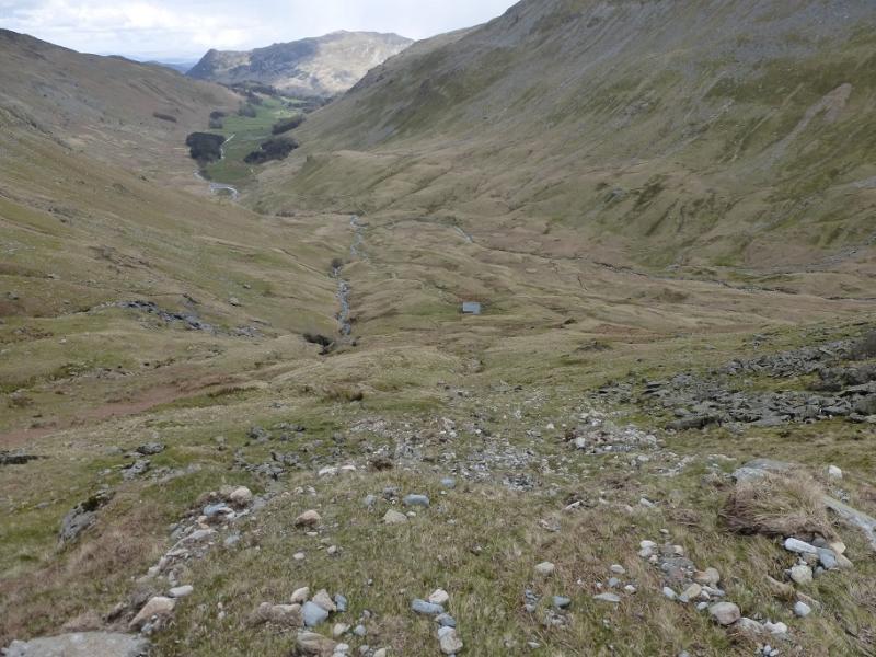
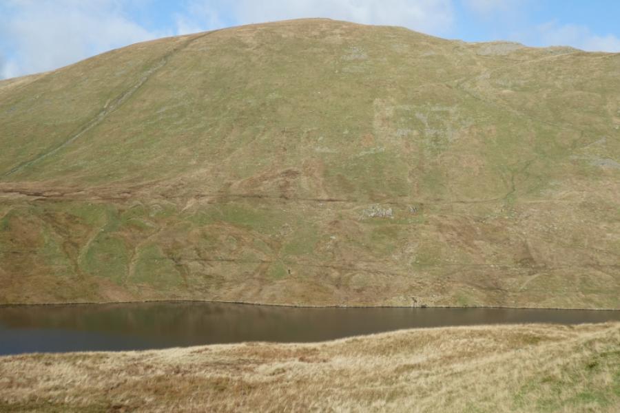
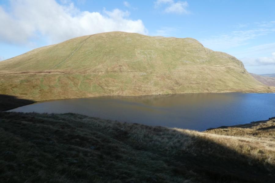
(3) Continue past the summit cairn and start descending the obvious ridge known as The Tongue. There is a path but it can be faint at times. Aim to stay on the main crest until it seems to end abruptly above a crag at the top of a gully. Descend down to the right, aiming for a tiny tarn (may dry up in summer) where the path is more distinct. Follow this down the crest, again faint in places, until it too seems to end abruptly above a crag. Start weaving a way down to the left, aiming for the lower part of Ruthwaite Cove with the hut at its foot. Once in the cove, descend down to the hut known as Ruthwaite Lodge which is a stone climbing hut on the main path down Grisedale. Follow this path down. Ignore the first but cross the second and continue down. Eventually, the path becomes a track then a tarmac road which leads down to the A592 at Grisedale Bridge about halfway between Patterdale and Glenridding. Turn left and follow the road back to Glenridding.
Notes
(a) This walk took place on 27th April, 2016.
Photos - Hover over photo for caption. Click on to enlarge. Click on again to reduce.