Get Lost Mountaineering
You are here: Scotland » 01 South of Oban to Stirling and Fife » Luss Hills
Tullich Hill, Ben Reoch & Beinn Bhreac from Invergroin in Glen Douglas
Tullich Hill, Ben Reoch & Beinn Bhreac from Invergroin in Glen Douglas
Start/Finish
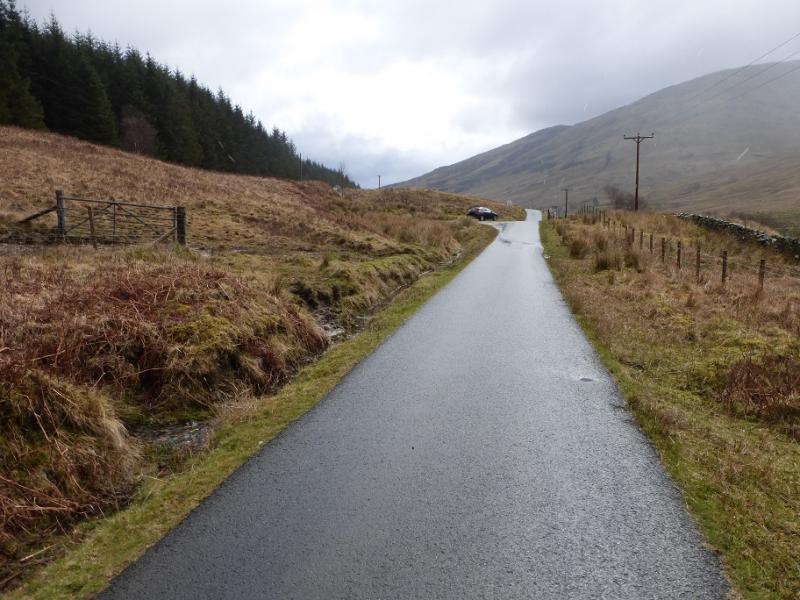
Rough car park about 500 m east of Invergroin on the Glen Douglas road which links Inverbeg (A82 Loch Lomond) to the A814 (Loch Long).
Distance/Time
11 km About 6 hours
Peaks
Tullich Hill, 632 m, NN 293 006.
Ben Reoch, 661 m, NN 308 021.
Beinn Bhreac, 681 m, NN 321 000. OS Sheet 56: Loch Lomond & Inverary
Introduction
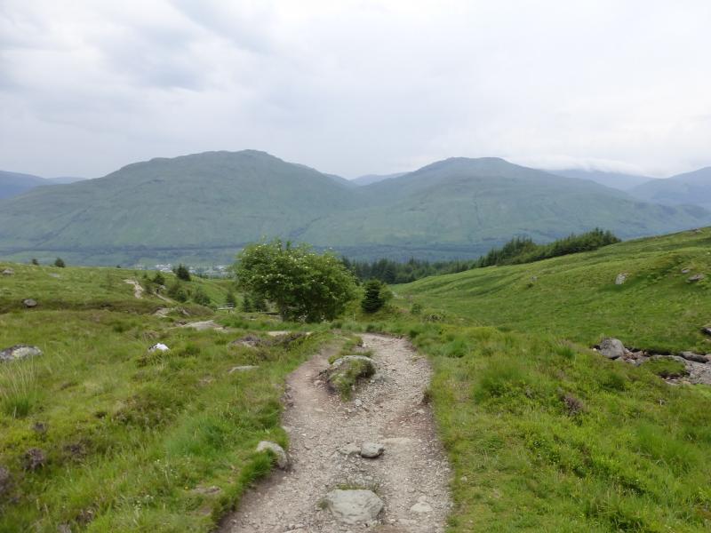
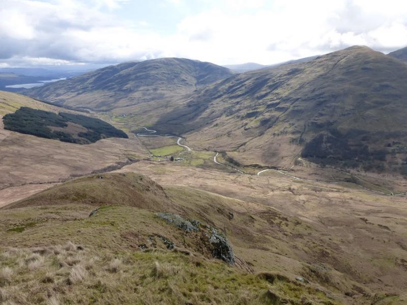
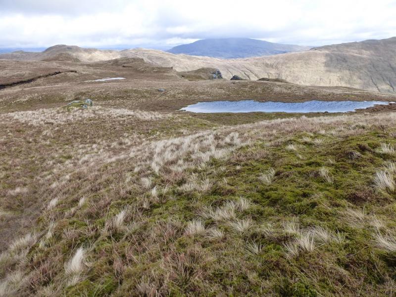
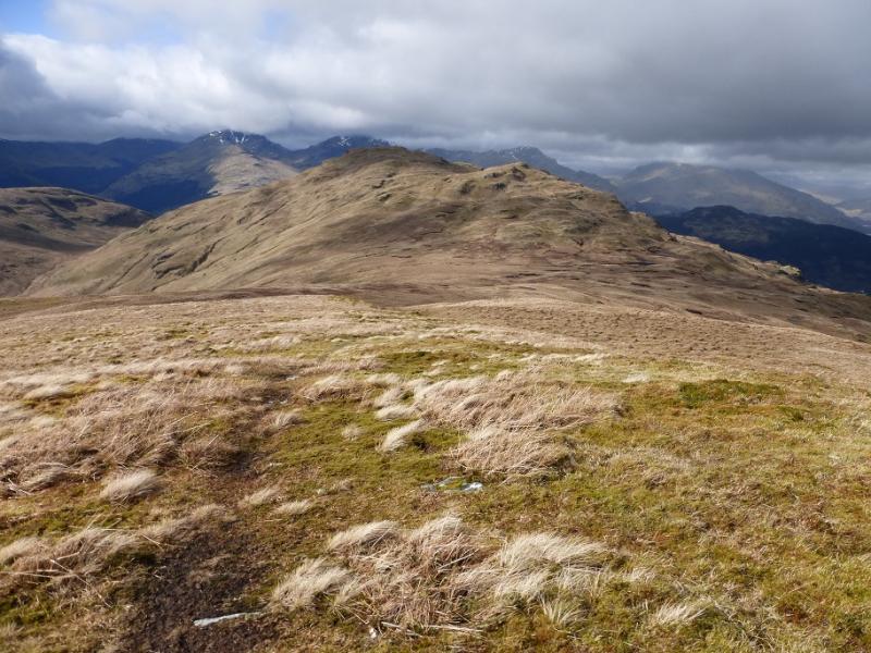
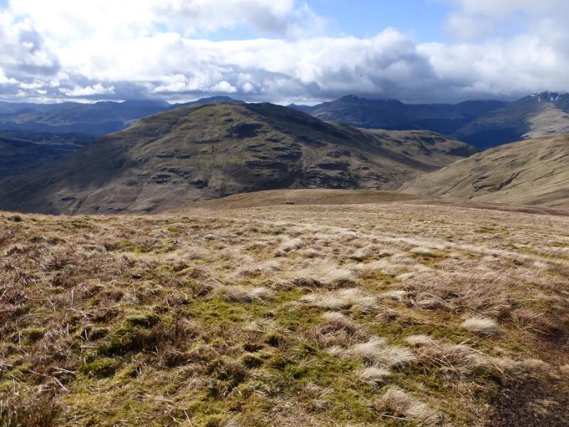
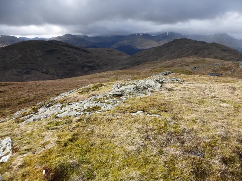
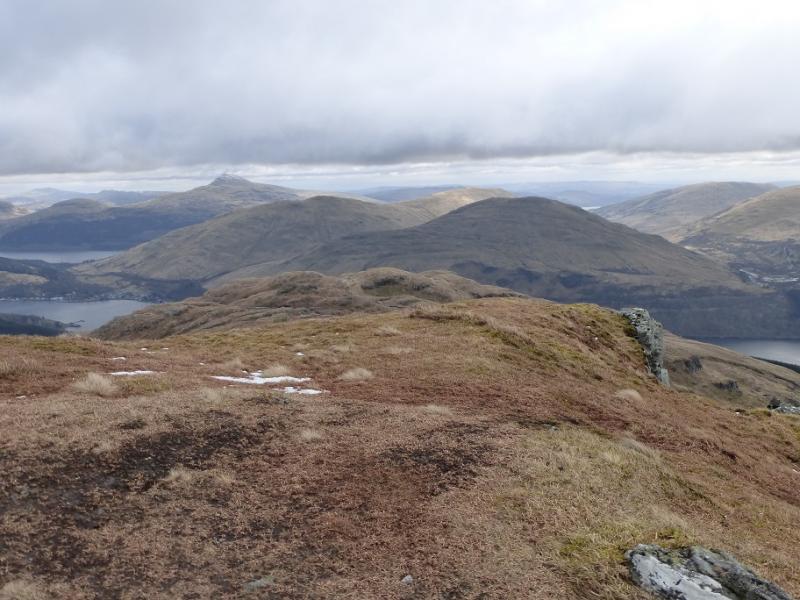
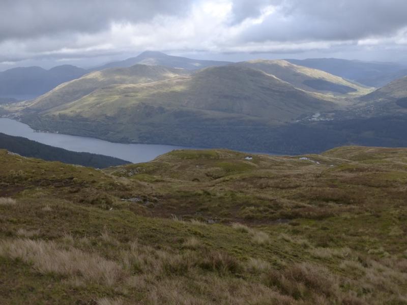
On a clear day, this is a lovely walk with magnificent views in all directions which include Ben Lomond, The Cobbler, Beinn Narnain, Ben Vorlich, Mid Hill, Doune Hill Loch Long, Loch Lomond and beyond. On a misty day, navigation needs care as the ground can be confusing. There is a path for much of the way but it is faint in places and needs little in the way of snow to hide it. This is a tough walk as it covers two Grahams (peak over 2000 feet with at least 500 foot drop on all sides) with a big drop between them. Ben Reoch is also included which is about 20 m of drop away from being a separate Graham so there is much ascent and descent on this route
Route
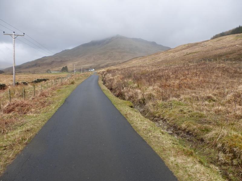
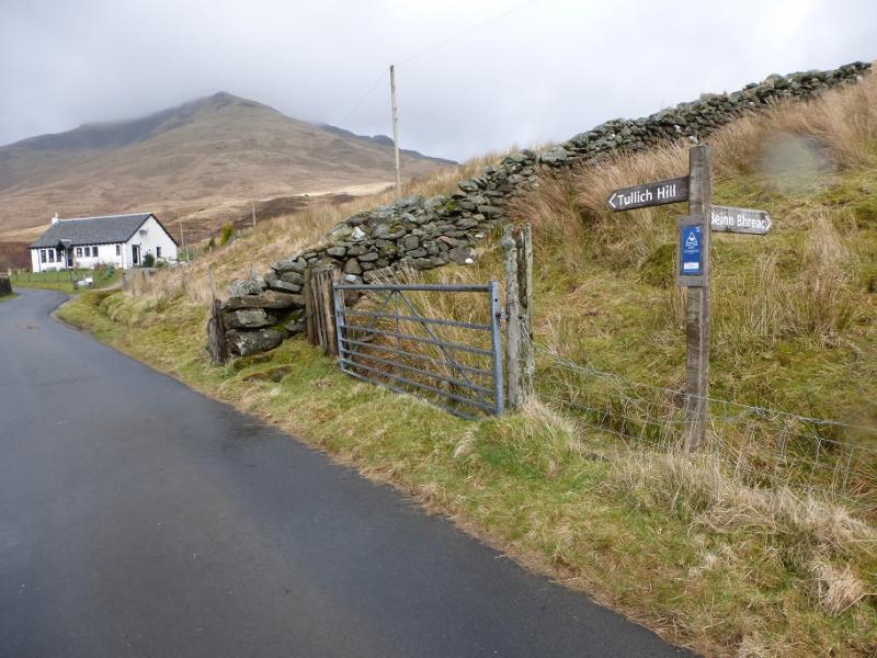
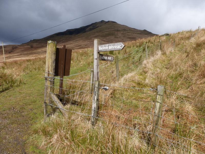
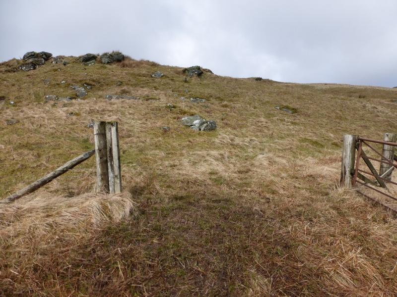
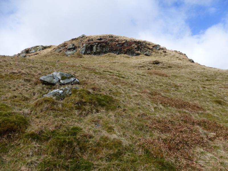
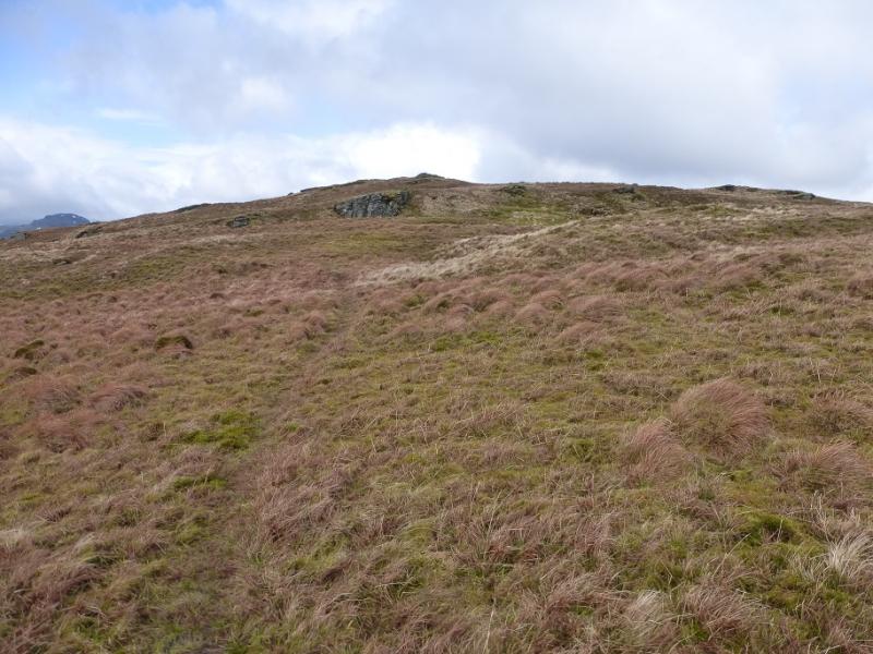
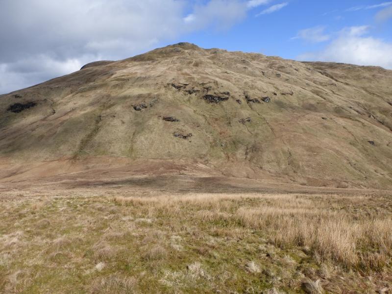
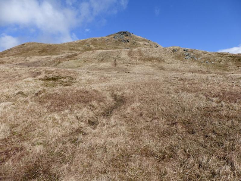
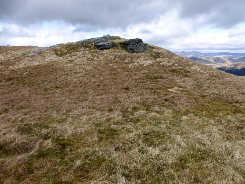
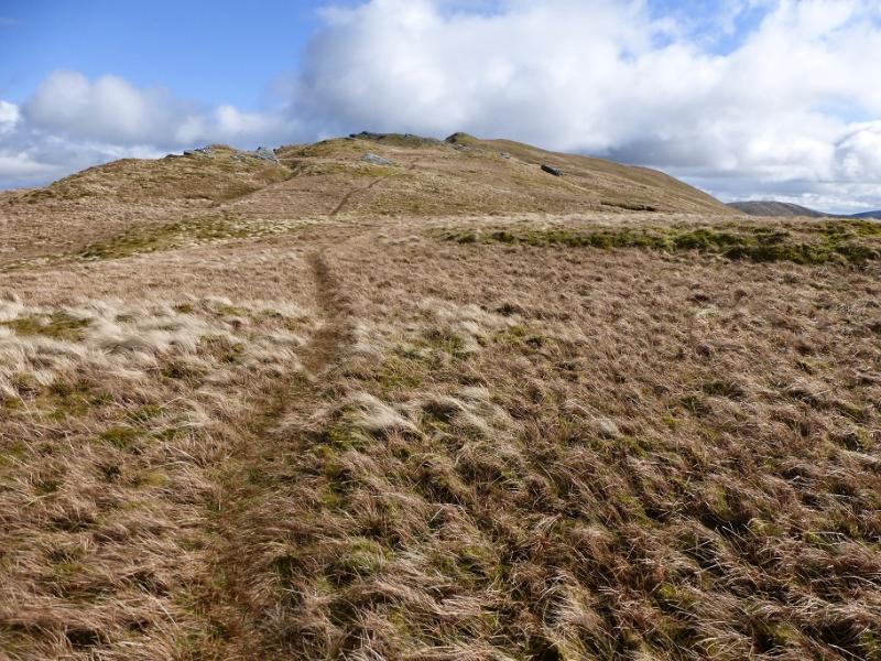
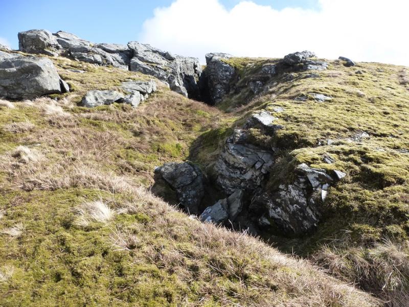
(1) Walk up the road to Invergroin. Continue past the house and the bugalow on the left to reach a gate with a sign for Tullich Hill. Follow the faint path up the SE ridge passing through two more gates. The ground is steep in places. When the angle eases, follow the crest to reach amedium cairn which is the summit of Tullich Hill, 632 m.
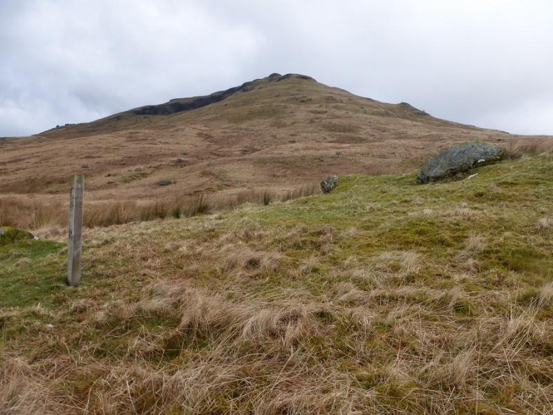
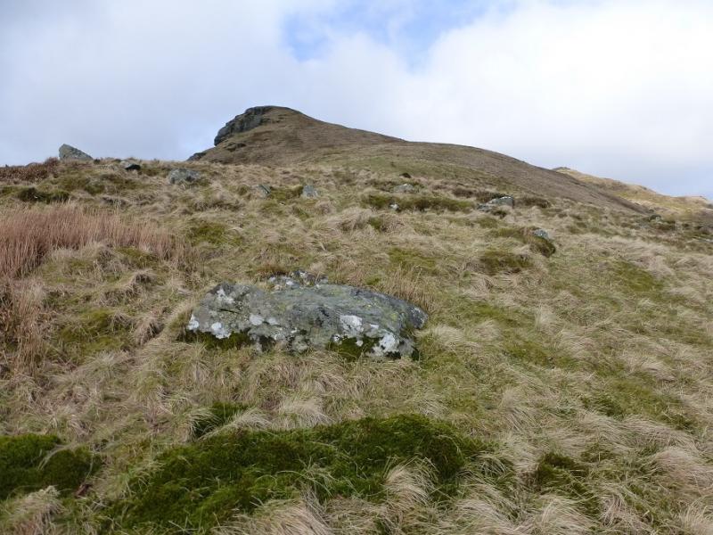
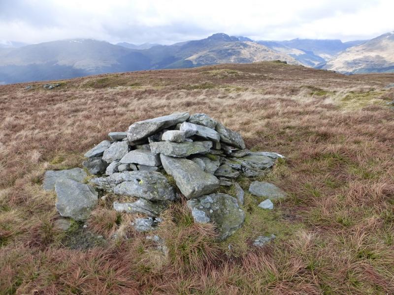
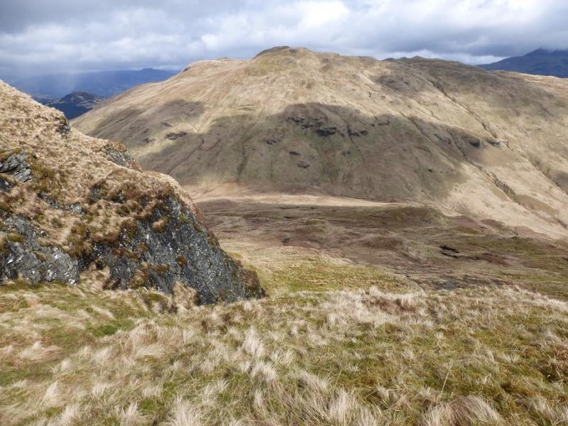
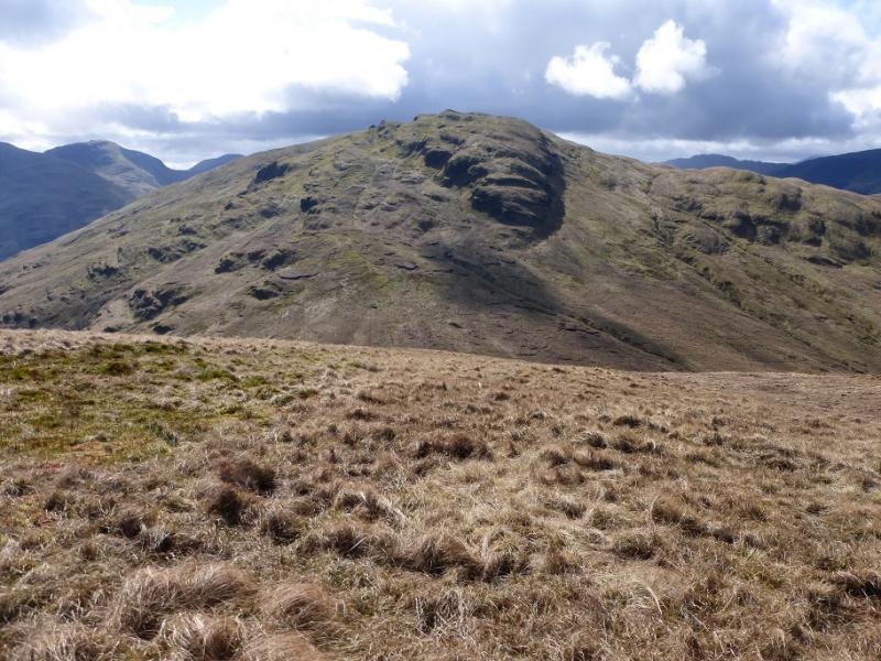
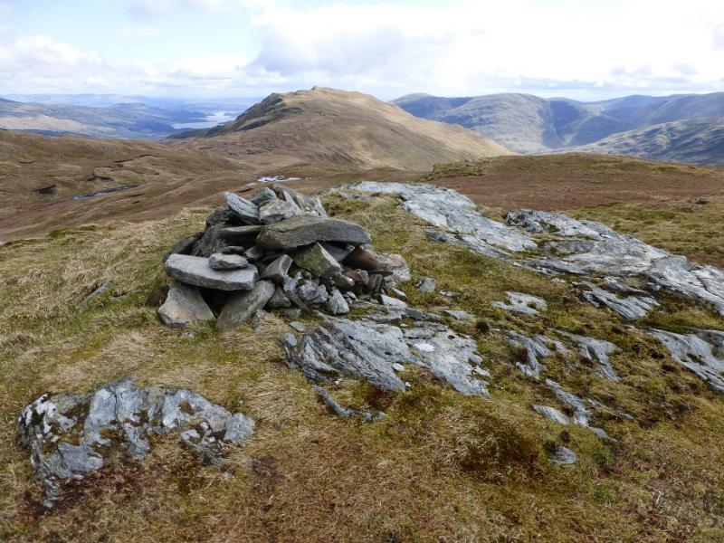
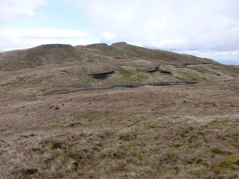
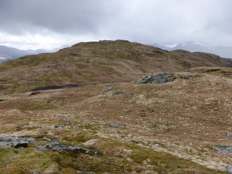
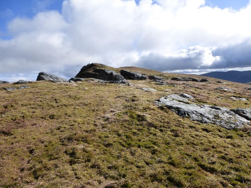
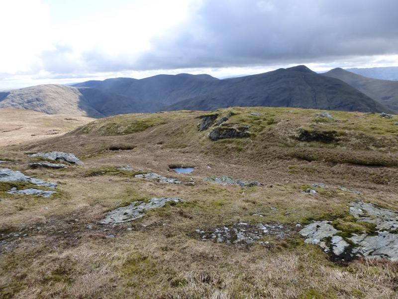
(2) A faint path leads roughly E from the summit but it soon becomes too faint to follow so continue down fairly easy slopes, generally heading NE. There are quite a few crags but these are easily avoided, usually on their E side. Reach the wet and grassy col then start up the steep slopes of Ben Reoch. Some old fence posts can be used as a guide but pass about 100 m S of the summit. There are a few crags, easily avoided, on the steep ascent. When the angle finally eases, reach a medium cairn which is the summit of Ben Reoch, 661 m. It is a superb viewpoint for The Cobbler and Beinn Narnain.
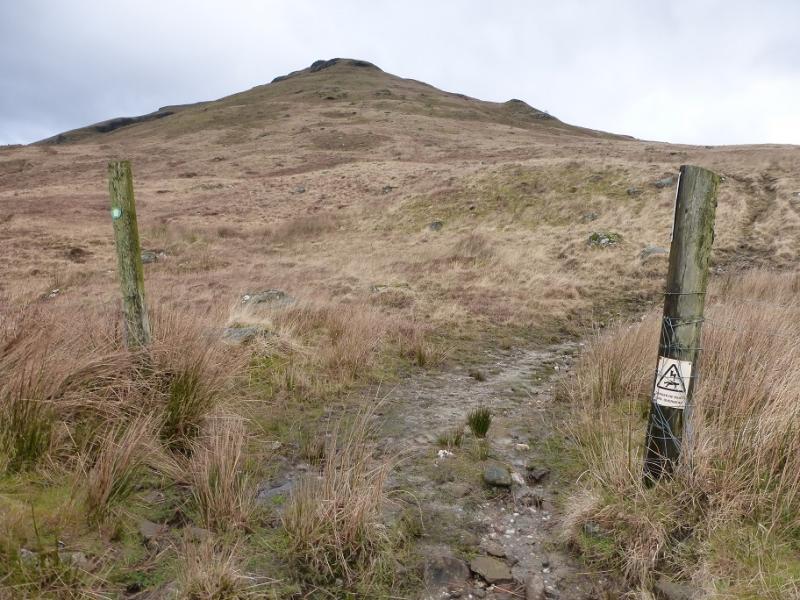
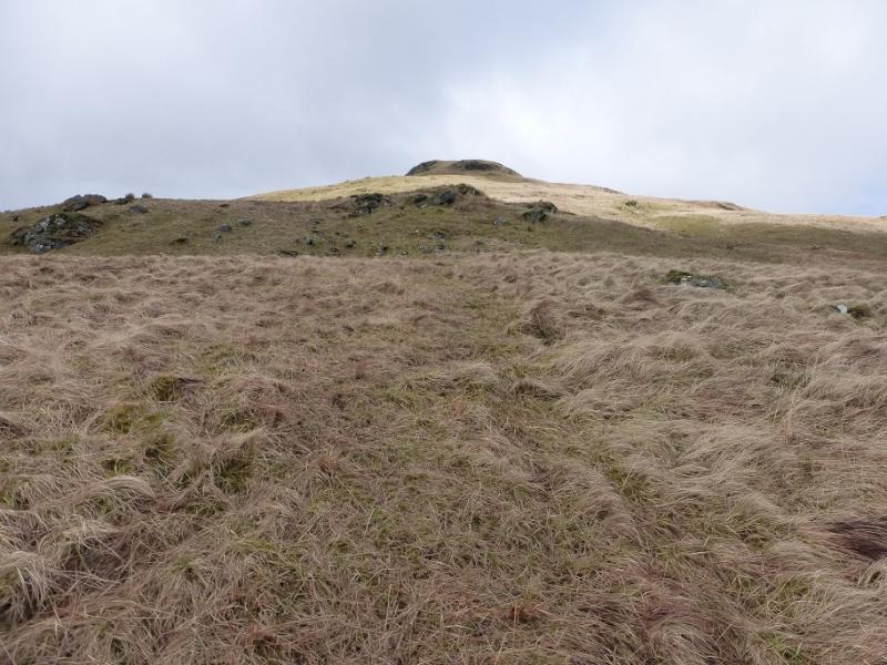
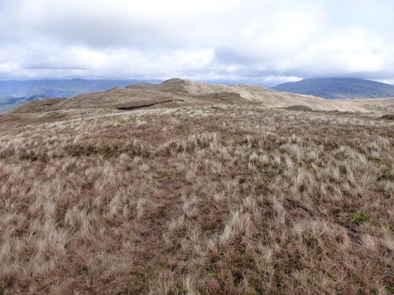
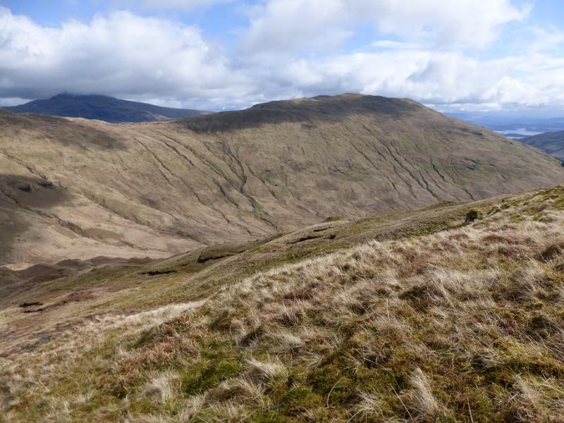
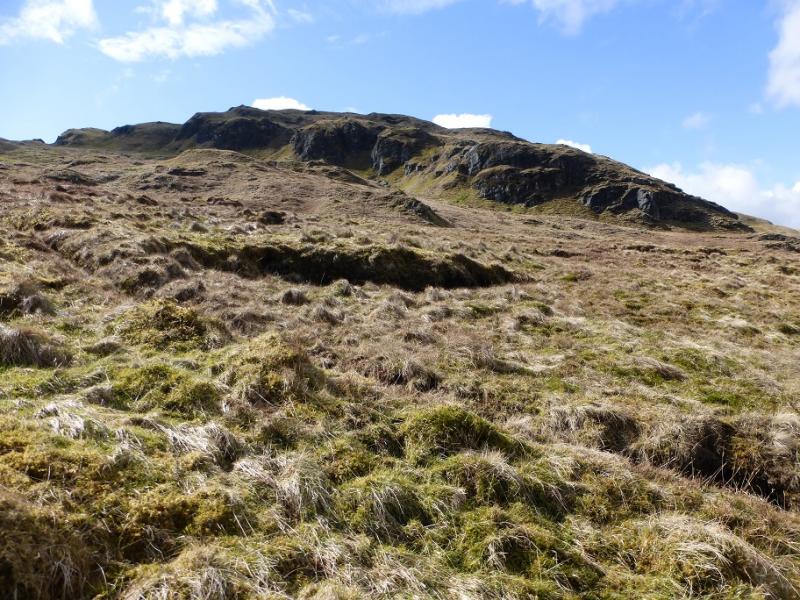
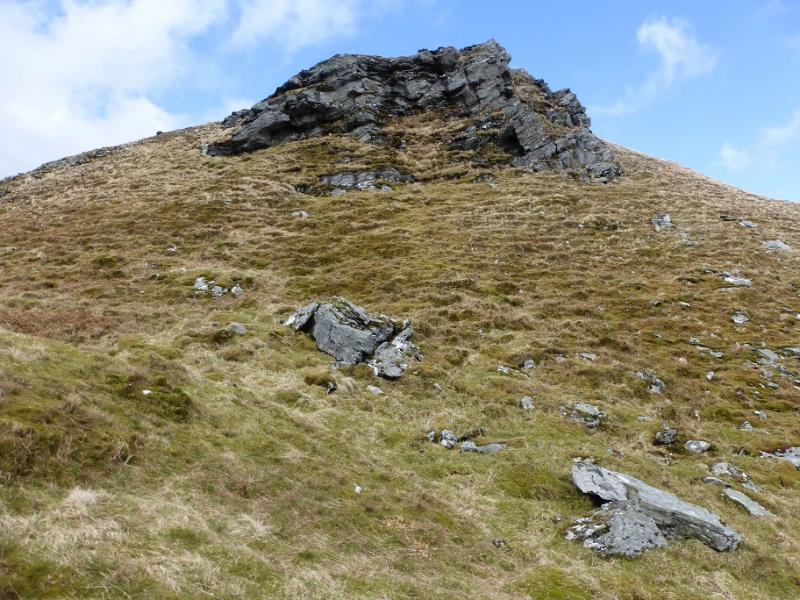
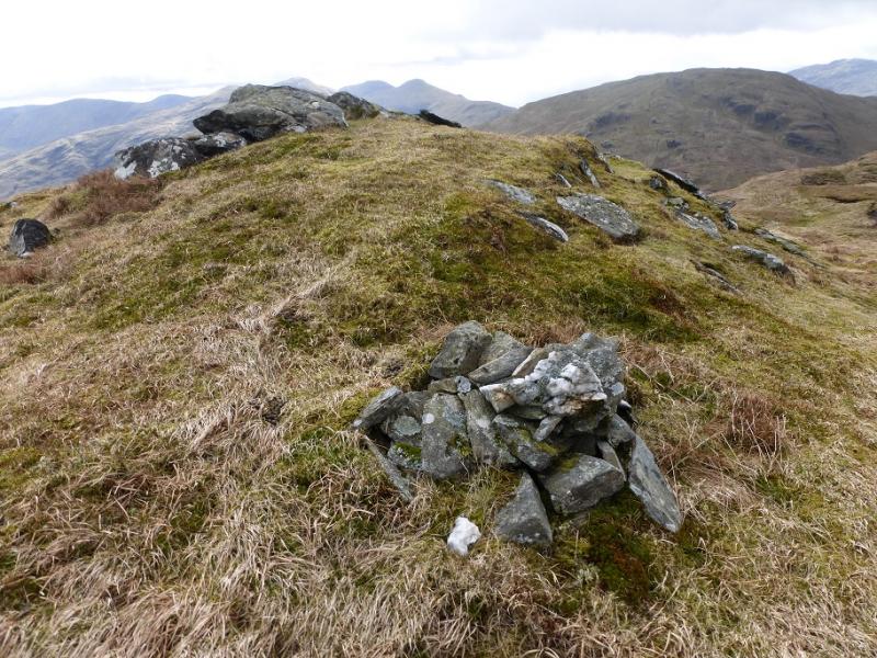
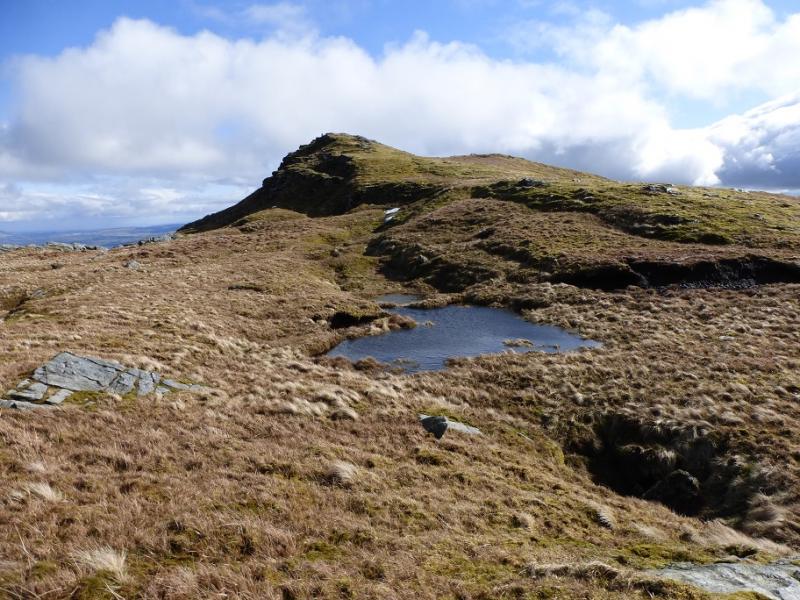
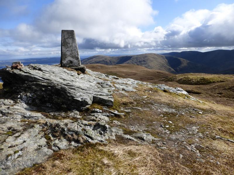
(3) Descend SE to a dip then ascend up to the SE Top which is a superb viewpoint for Ben Lomond. Descend SSE to a broad col then continue up the reasonably well defined ridge which leads to the trig point, on an outcrop, which is the summit of Beinn Bhreac, 681 m.
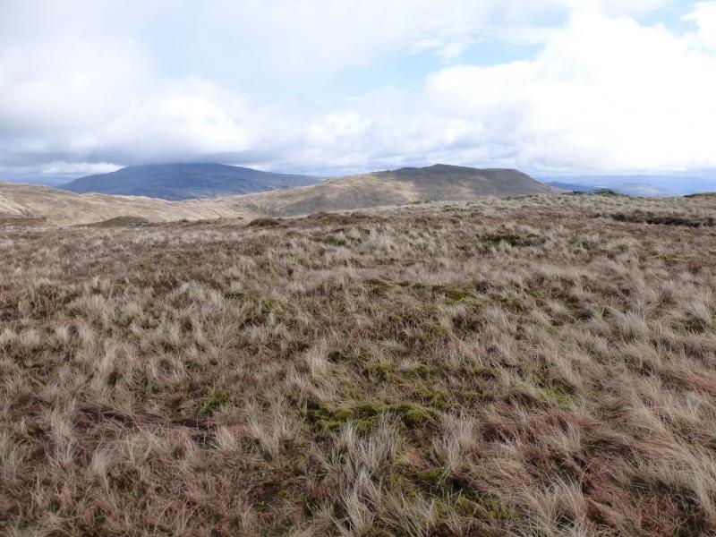
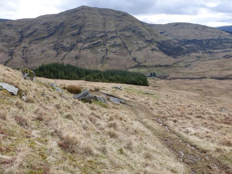
(4) Follow a path SSE down to a fence where there is a stile. Cross over then go W then SW down an ill-defined grassy ridge towards the NW corner of the plantation. There is an ATV track off to the right which can be reached and used to guide one down. Once at the corner of the forest, follow its edge SW then SE until one can easily gain the road in Glen Douglas not far from the car park.
Notes
(a) This walk took place on 5th April, 2016.
Photos - Hover over photo for caption. Click on to enlarge. Click on again to reduce.