Get Lost Mountaineering
You are here: England » Peak District » Black Hill, Lad's Leap, Laddow, Longdendale, Ravenstones & Dovestone Reservoir
Alderman's Hill, Obelisk & Broadstone Hill from Dovestone Reservoir or Binn Green
Alderman's Hill, Obelisk & Broadstone Hill
from Dovestone Reservoir or Binn Green
Start/Finish
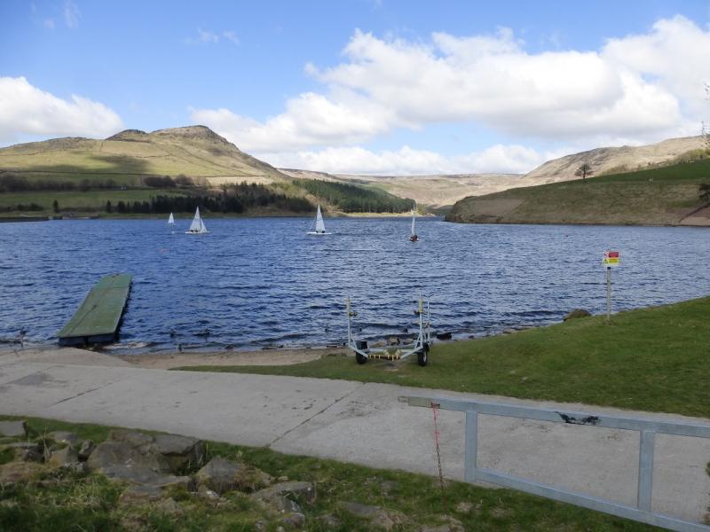
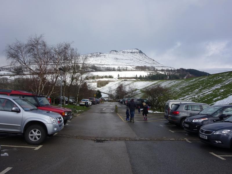
Dovestone Reservoir car park (Pay and Display; £1.30 all day in 2016) at SE 013 037. It is at the end of Bank Lane which is a minor road off the A635 Mossley to Holmfirth road which starts about a mile to the east of Greenfield. The car park is signed from the main road and is just below the dam. If coming from Holmfirth, it is about a mile after Binn Green car park. The car park has toilets.
Public car park at Binn Green, SE 017 044, which is off the the A635 Mossley to Holmfirth road above Dovestones Reservoir. This is signed as a Pay and Display car park but, on 19/4/15, there were no machines to pay! Binn Green is signed on the A635. If coming from Mossley, do not take the turning for Dovestones Reservoir. Binn Green is further towards Holmfirth. There are toilets in Binn Green car park which do not have water or electricity and are best described as “ecological”! In winter conditions, Binn Green is best avoided and it will be easier to park at Dovestone Reservoir.
Distance/Time
12 km About 3 - 4 hours from Dovestone
9 km About 3 hours from Binn Green
Peaks
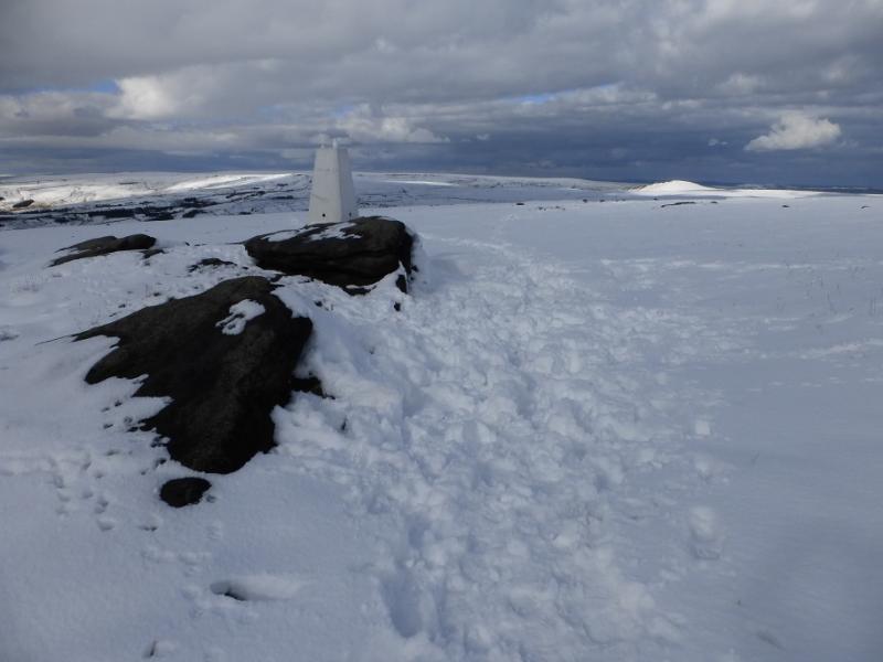
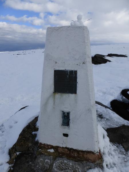
Broadstone Hill Trig Point, 454 m, SE 021 069.
Alderman's Hill 440 m, SE 017 046. OS Outdoor Leisure 1: Dark Peak.
Introduction
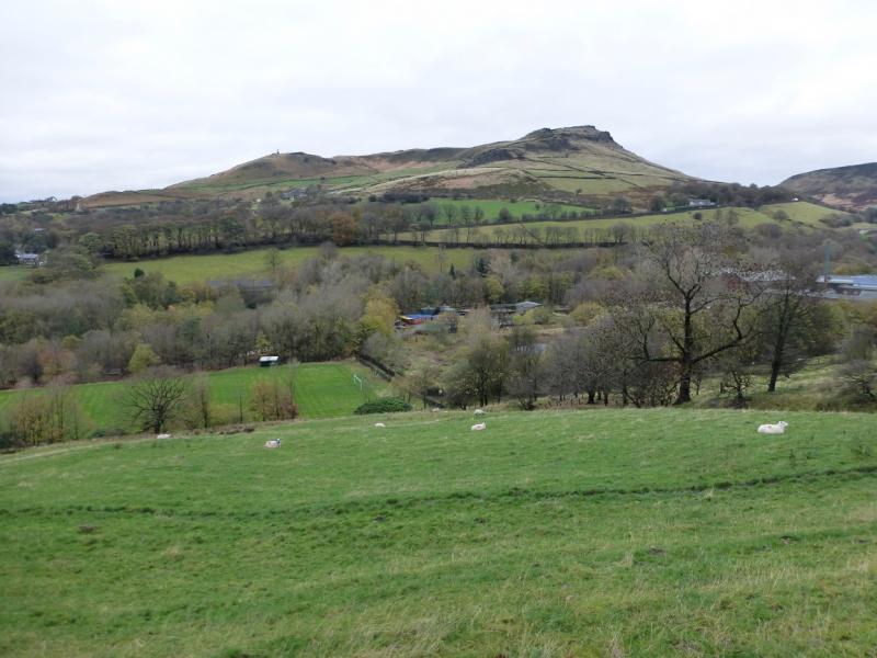
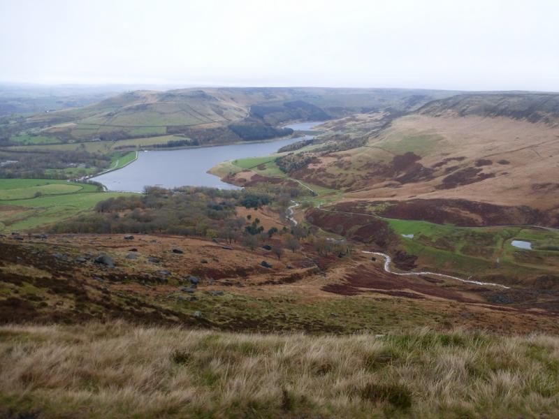
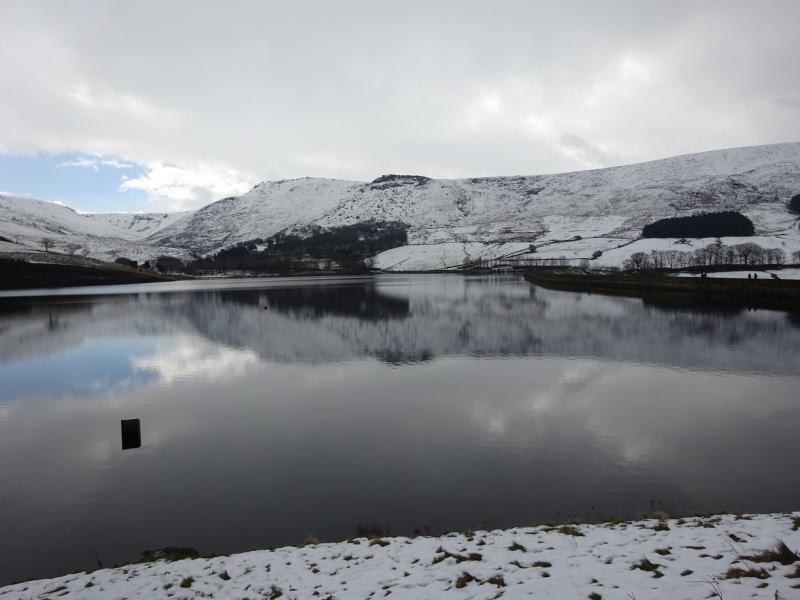
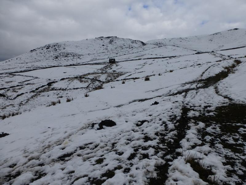
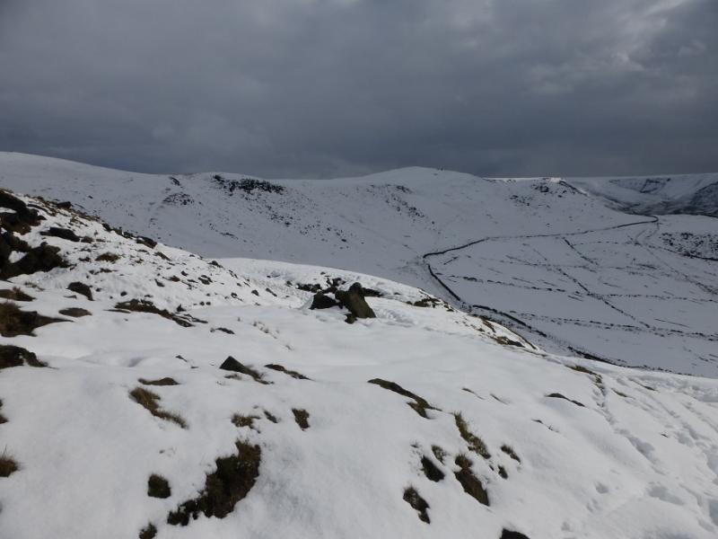
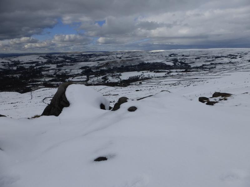
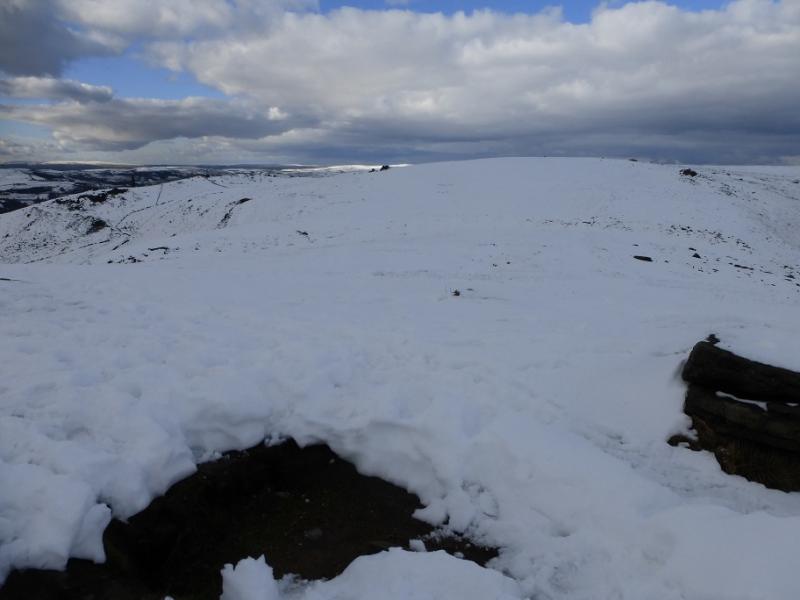
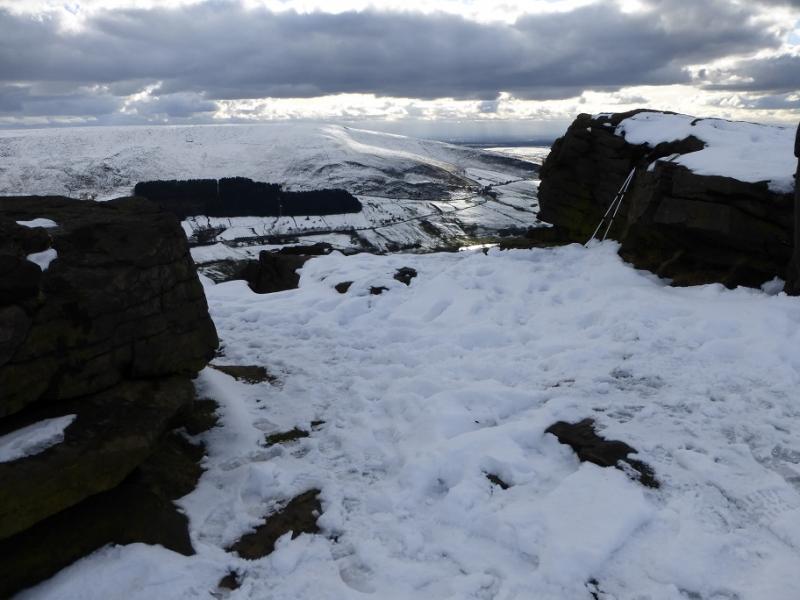
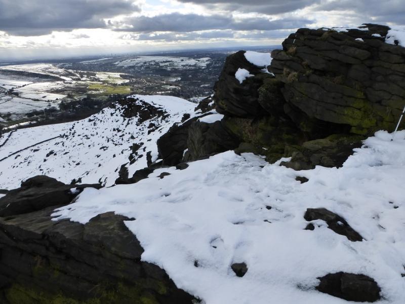
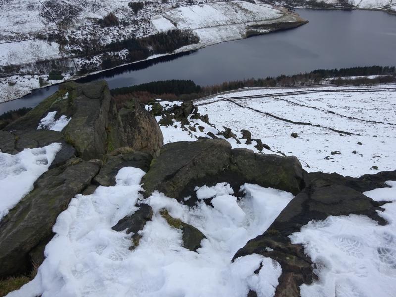
This is a walk whose quality is very dependent upon the weather conditions. The ground can be very boggy in wet conditions and the higher ground can be very hard going under snow. Long Lane can be awful after wet weather. There are excellent views to the local reservoirs and the edges above Dovestone Reservoir including the Indian's Head. The route is given from the Dovestone Reservoir car park but it passes through Binn Green on both the outward and return routes.
Route
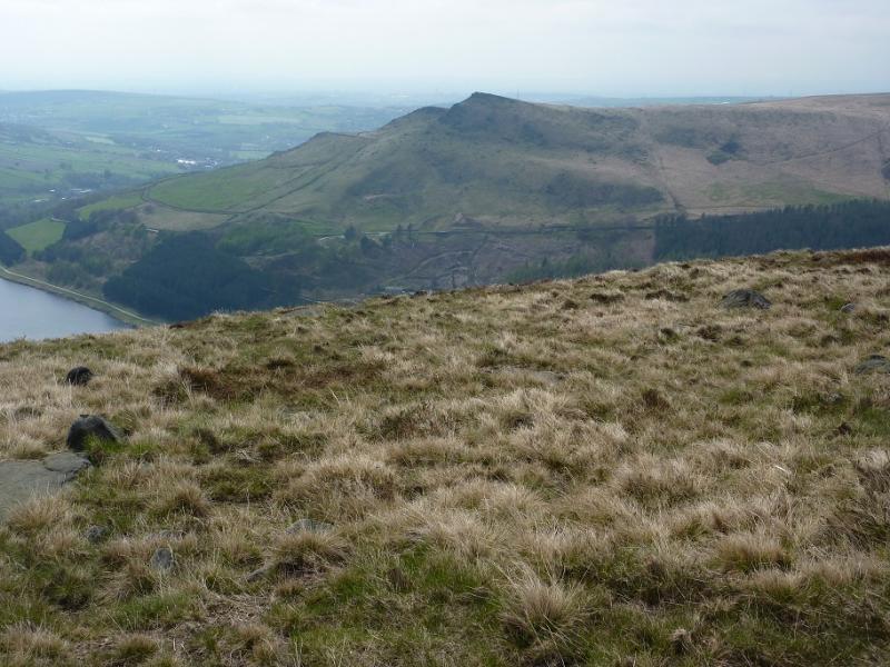
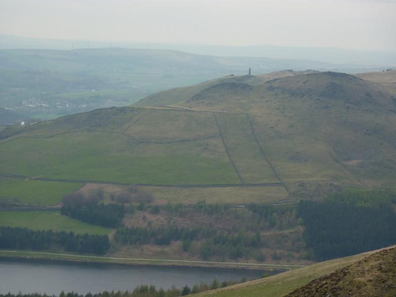
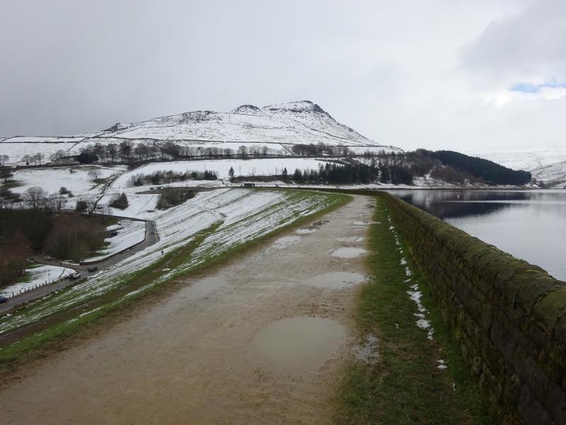
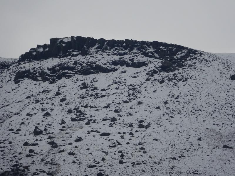
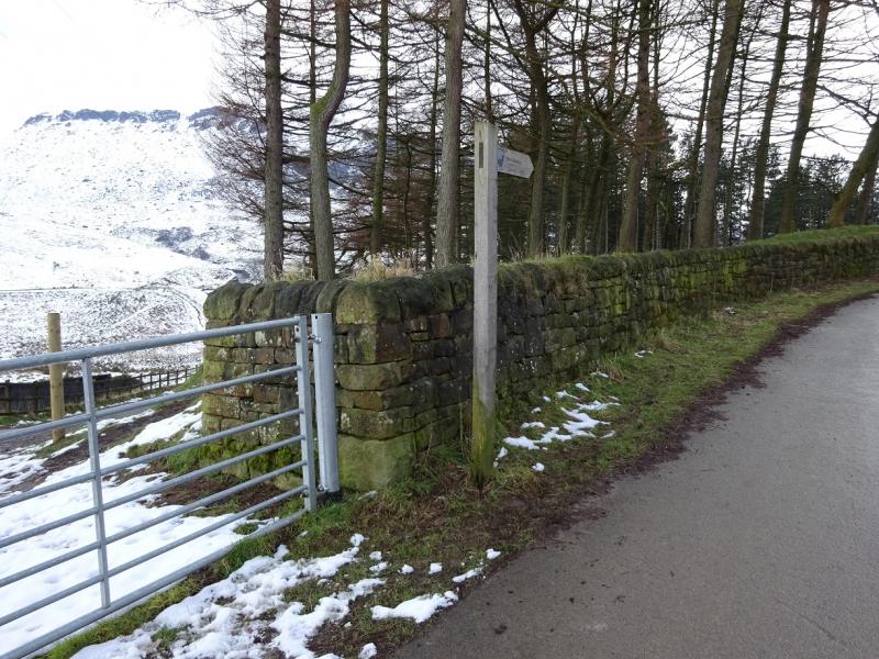
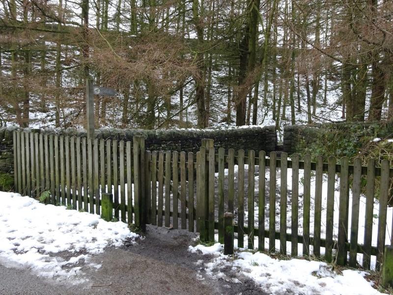
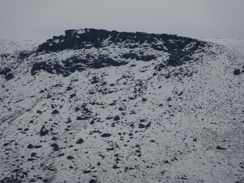
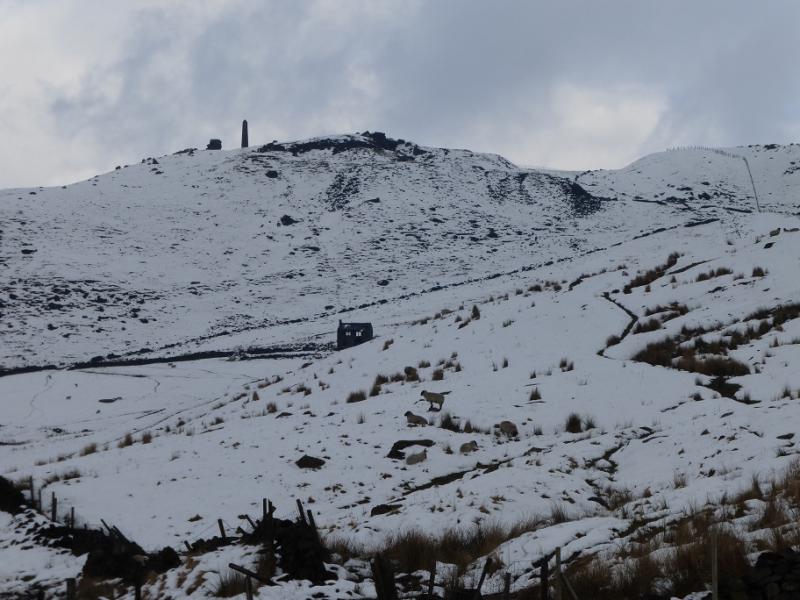
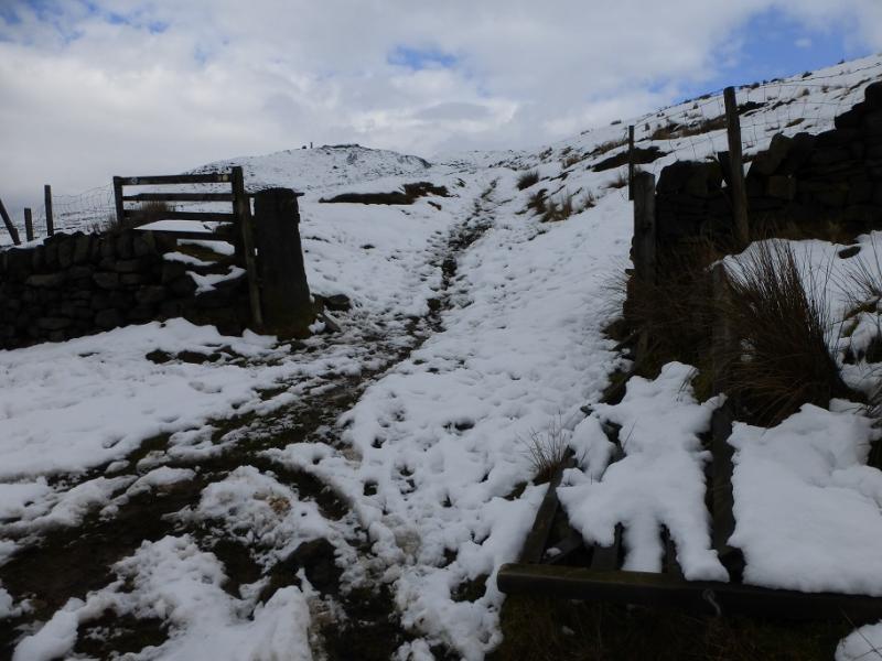
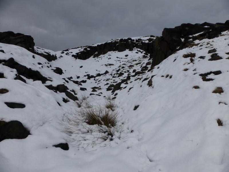
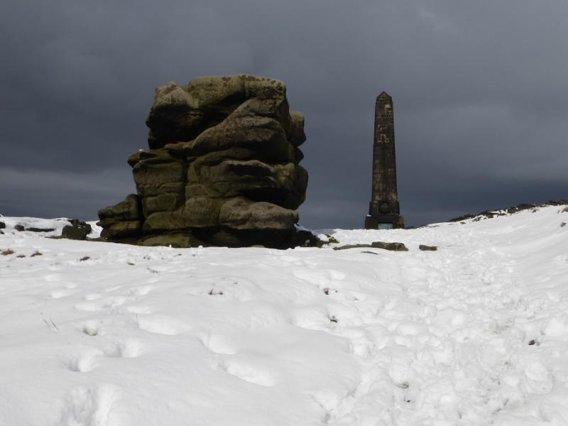
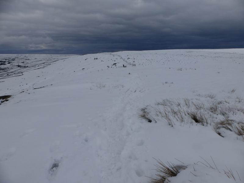
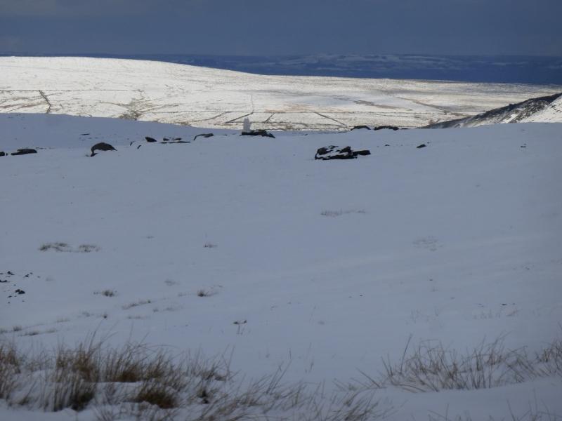
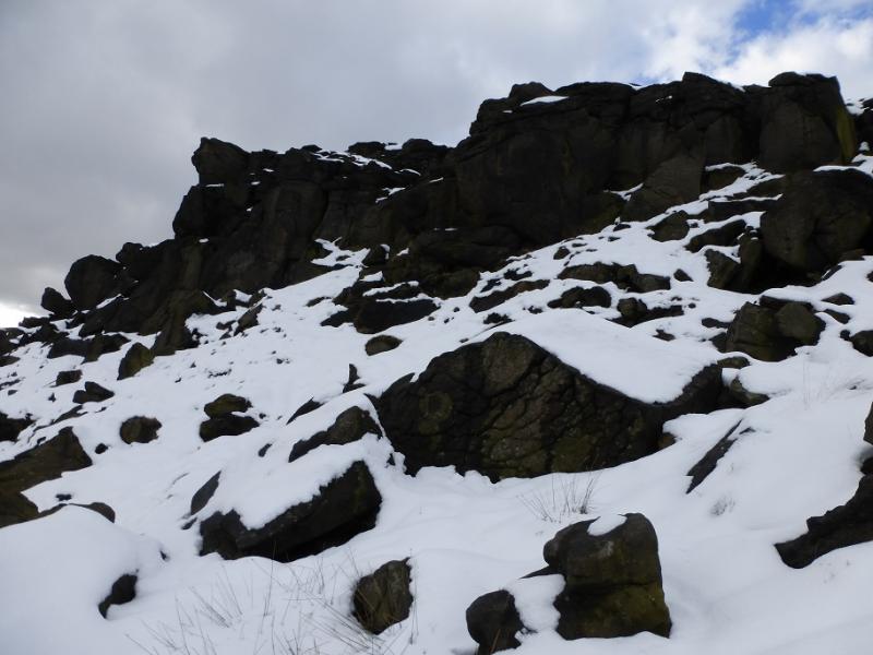
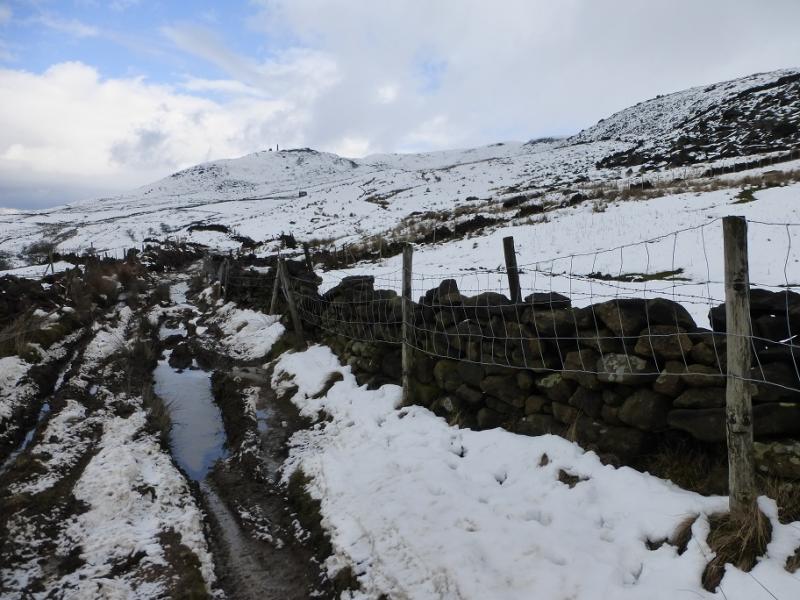
(1) Walk along the the top of the dam on the W side of Dovestone Reservoir and follow the good track which then heads NE along the side of the reservoir ignoring any sign for Binn Green near the N end of the dam. When the mainly flat track rises to meet a minor road, go left and walk up the minor road to soon reach a small gate on the right which leads to some rough steps up to Binn Green car park. Cross the main road by the car park entrance to reach the start of Long Lane which initially goes SSW. This lane is rutted and can be very boggy. Follow it, noting a stile not far from the start which will be used on the return. Continue on the lane which swings W then N to reach an open gate where the Oldham Way crosses the lane. Fork right on to the Oldham Way and follow it up, passing well to the right, E, of an old ruin. The path curves around to the left below some significant rocks known as the Pots and Pan Stones which are worth exploring. Continue up to the tall obelisk which is actually a war memorial.
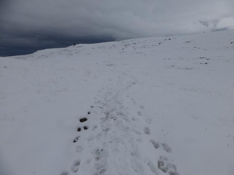
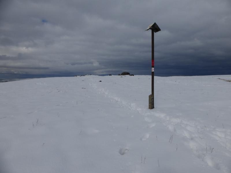
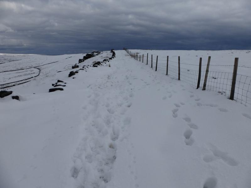
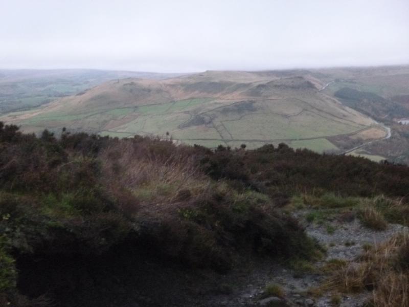
(2) Head NE from the obelisk heading for the obvious ridge to the E. The path reaches it near Sugar Loaf then continues, roughly N, to reach a marker post which directs one to the edge on the W side of the very broad ridge. Soon a fence is reached and the path goes down its left side. Further on, an old wall comes in from the left so the path is between the wall and the fence before the fence drifts off to the right and the path stays with the wall until its end at a corner (where it runs W). The path continues and, about 400 m further on, reaches the trig point which is Broadstone Hill Trig Point, 454 m. In clear weather, it is obviously not the highest point on the hill which seems to be to the SE of here.
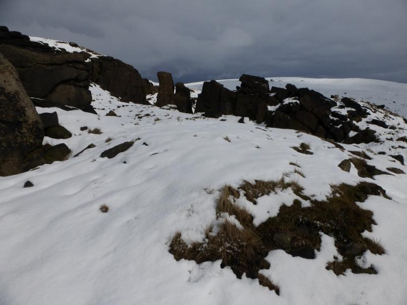
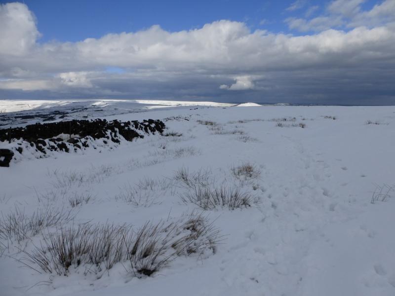
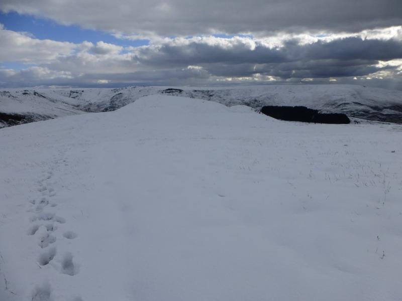
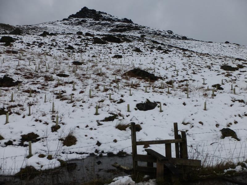
(3) Retrace back by the wall then the fence and continue to the marker post. Stay on the crest and head roughly S (the obelisk is SW) to go over Dick Hill (hardly any ascent) then on to the outcrops on the top on the edge at the S end of the crest. There is no cairn but this is Alderman's Hill 440 m. There are steep drops off the edge.
(4) Walk a few metres back from the edge and walk down the SW ridge to reach the dip before the next top on the ridge. This dip was well seen from below when crossing the dam. Turn left at this dip and follow the path down to reach the stile passed earlier near the start of Long Lane. Cross over the main road for Binn Green. To return to Dovestone Reservoir car park, go down the steps from Bin Green to reach the minor road. Cross over and follow the path back to the north end of the dam crossed earlier.
Notes
(a) This walk took place on 6th March, 2016.
Photos - Hover over photo for caption. Click on to enlarge. Click on again to reduce.