Get Lost Mountaineering
You are here: England » Lake District » Between A6 and M6
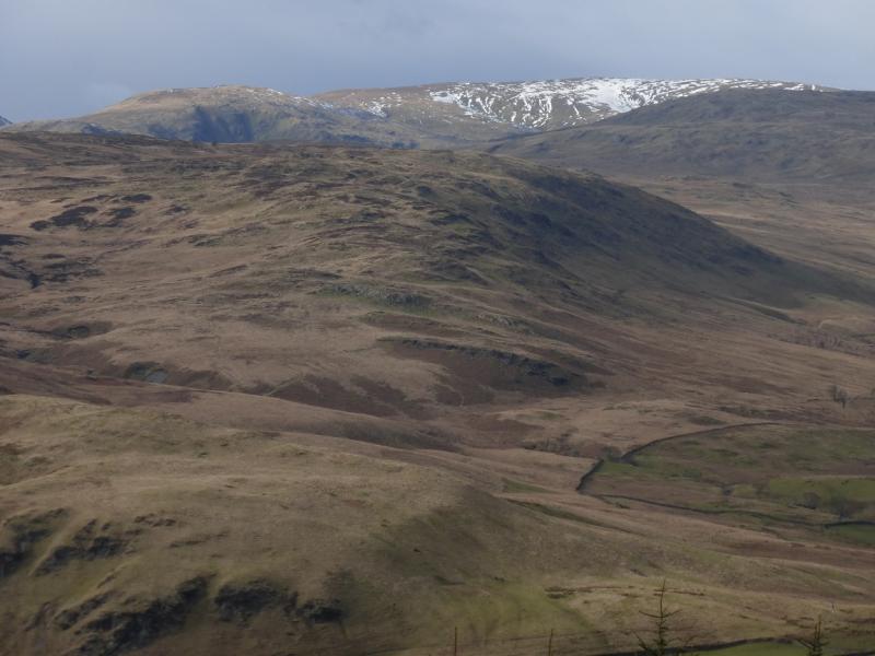
Whinfell Ridge from near Hause Bridge by M6
Whinfell Ridge from near Hause Bridge by M6
Start/Finish
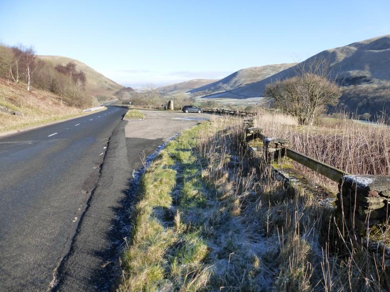
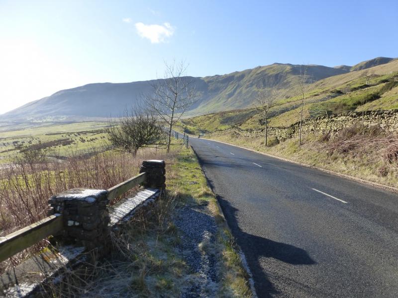
Car park with information sign near Hause bridge on A685 road from Kendal to Tebay/Brough where the road almost converges with the M6. This is at NY 608 008. The car park is about 10 miles north of Kendal and about 2 miles south of Tebay. There is a large rock at one end of the car park. An alternative start, with the same route, is given in the notes.
Distance/Time
15 km About 6 – 7 hours
Peaks
Grayrigg Pike, 478 m, SD 604 997.
Grayrigg Common, 494 m, SD 598 998.
Whinfell Beacon, 472 m, NY 573 002.
Castle Fell, 478 m, NY 570 015.
Mabbin Crag, 482 m, NY 565 023.
Ashstead Fell, c 470 m, NY 563 027.
OS 1 : 25 000 Outdoor Leisure 19: Howgill Fells & Upper Eden Valley.
OS 1 : 25 000 Outdoor Leisure 7, English Lake District SE Area.
Introduction
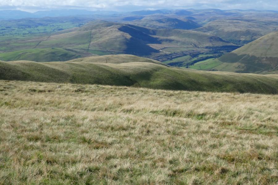
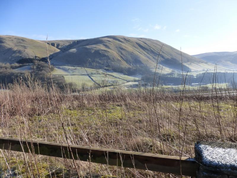
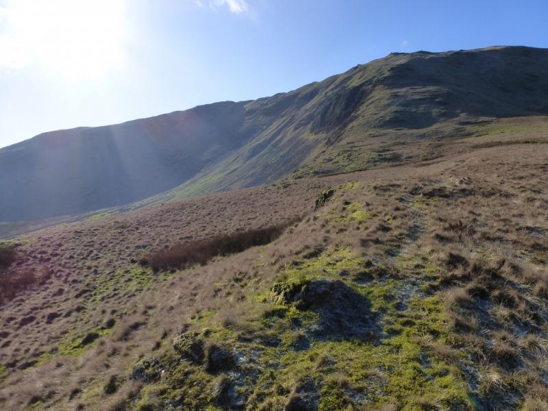
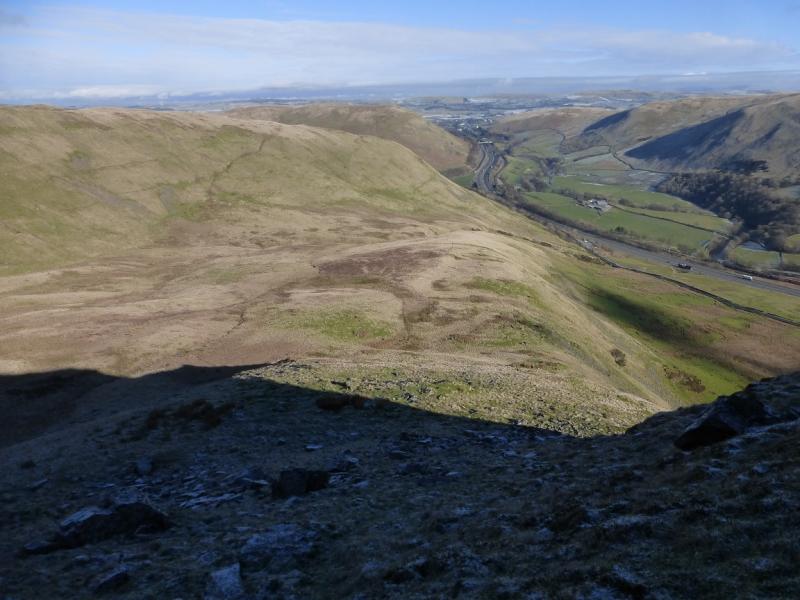
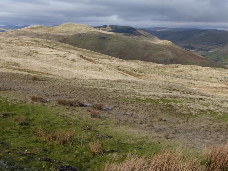
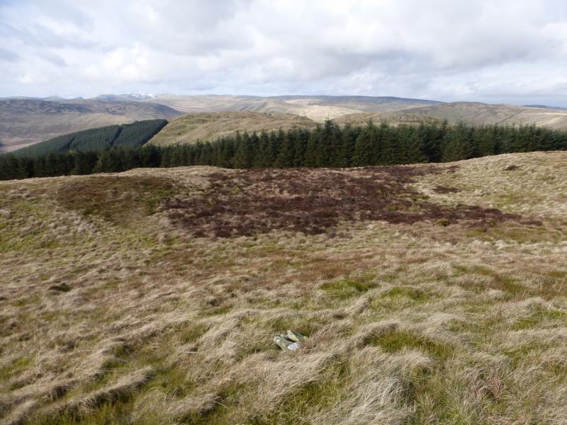
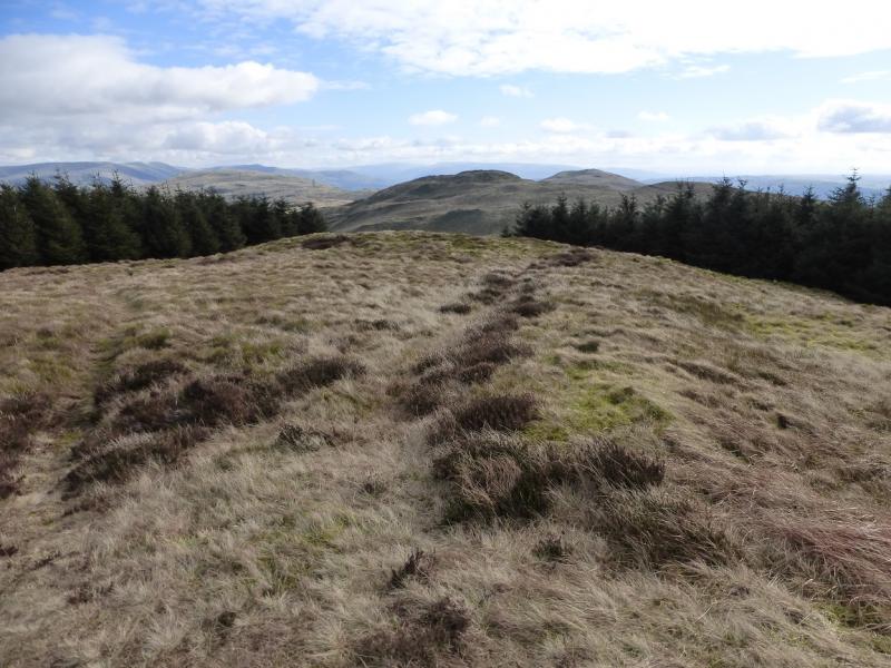
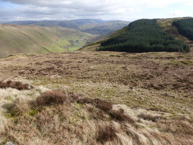
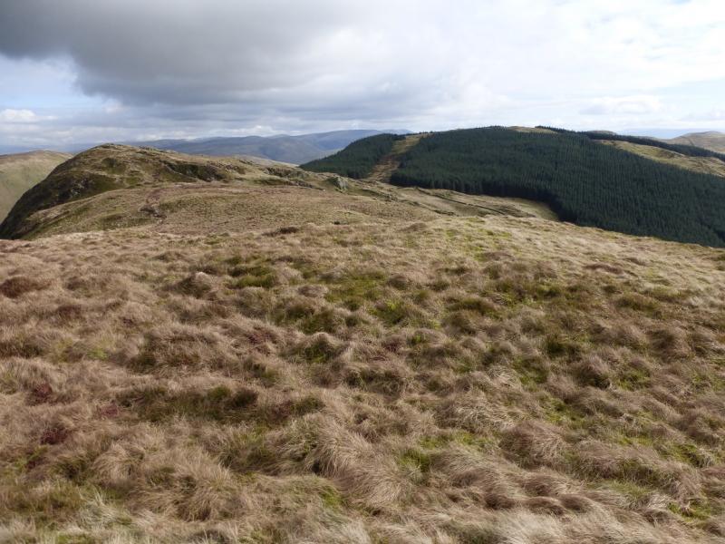
The Whinfell Ridge occupies a whole section In Wainwright's “Walks on the Howgill Fells and Adjoining Fells”. It is a lovely little book, in the style of his more famous Lakeland Guides and wll worth buying. The Whinfell Ridge lies on the south side of Borrowdale, a valley linking the A6 to the M6. There are six distinct summits plus two major aerials on the ridge. The summits are of modest height but do not, for one moment, think that this is an easy route. The ground is rough, ascents are steep and there are big gaps between the hills. There are good views to The Howgills (on the eastern side of the M6) and to the Bannisdale Fells to the west of the A6. On very clear days, one can see further.
Route
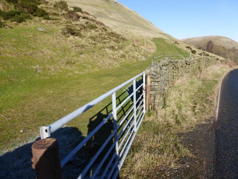
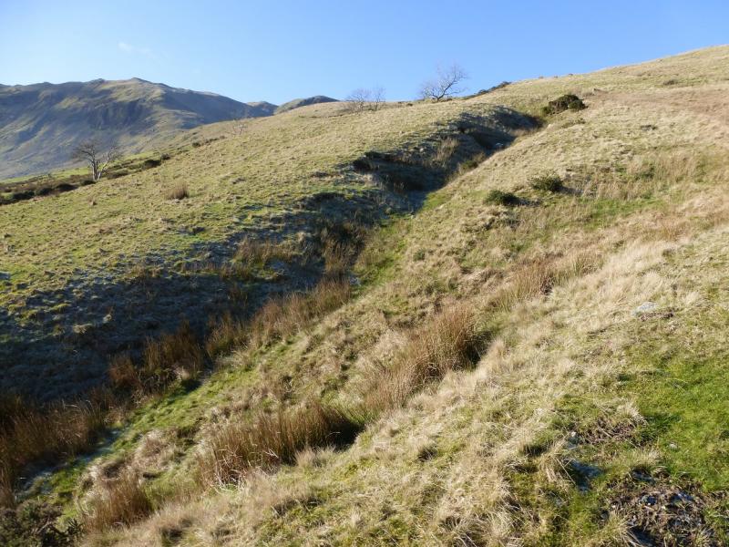
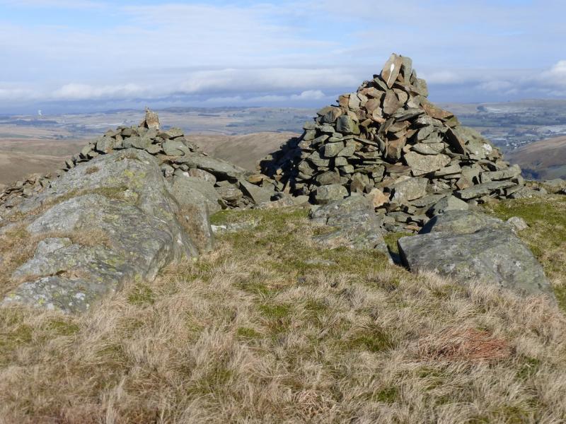
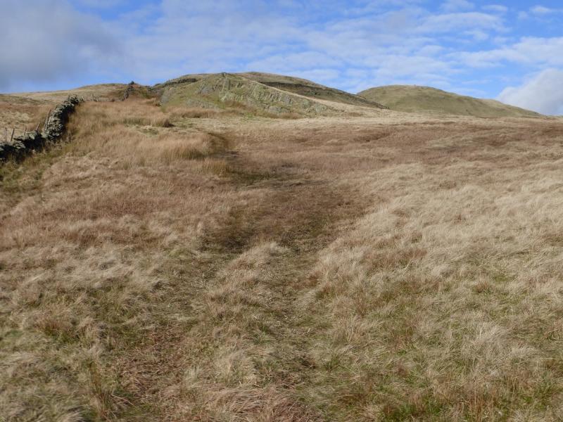
(1) From the information car park, walk S, up the road, to the first gate on the right where a grassy track heads N and uphill. Follow the track which soon peters out then pick a way to the crest above which is the N ridge of Grayrigg Pike. Once on the ridge proper, a path becomes obvious although it can be faint at times. Follow the ridge up, steep in places, to reach a large cairn next to some others. This is often taken to be the summit of Grayrigg Pike although the highest point seems on the next “bump”, about 200 further where there is no cairn! This would appear to be the true summit of Grayrigg Pike, 478 m.
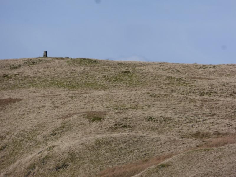
(2) Head almost due W, descending slightly, towards a wall which is crossed by a gate. Continue ascending, on a path, and soon reach a trig point which marks the summit of Grayrigg Common, 494 m.
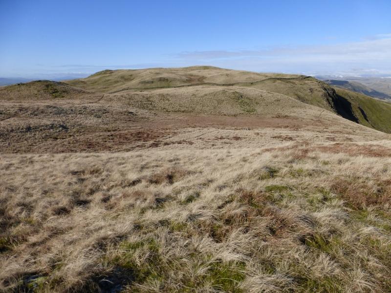
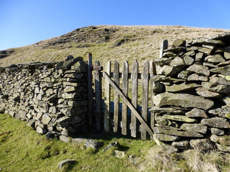
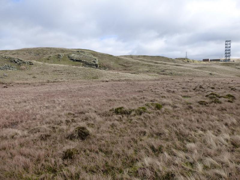
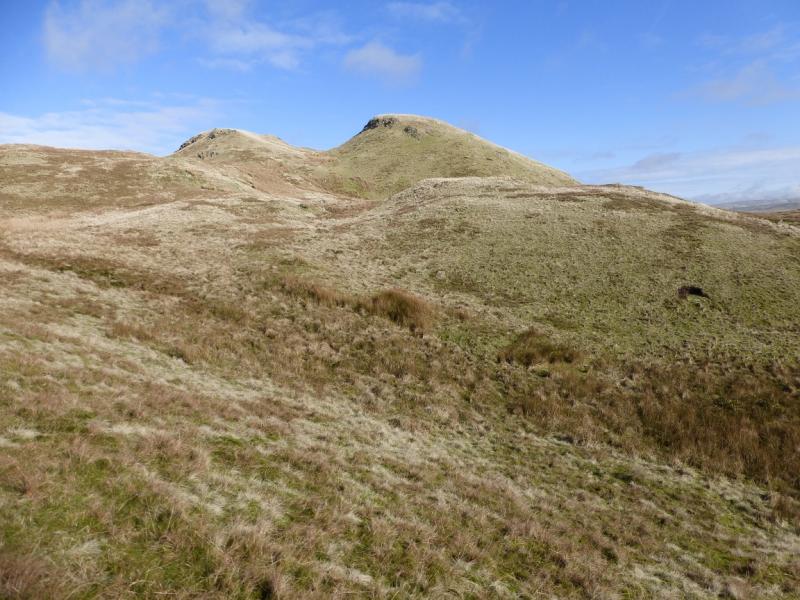
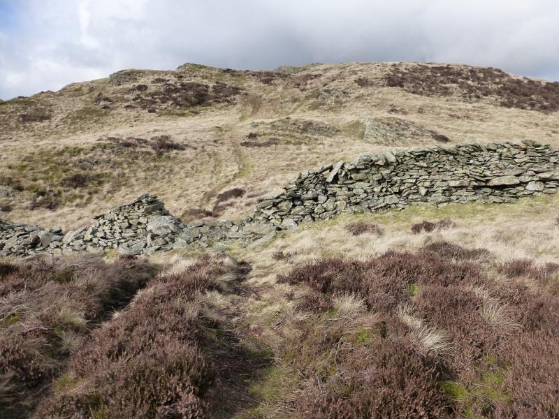
(3) Descend WNW, heading for the first and larger aerial. Cross the wall close to the aerial where the wall is slightly broken and there is a makeshift stile. Walk past the aerial and join the track heading W to the second aerial. Follow the track a little way past the second aerial before leaving it and heading W over hummocky ground. The first wall is crossed by a stile at about its highest point. A second wall, on a track running S – N, is crossed by a ladder stile. Continue W and ascend to the beacon cairn which marks the summit of Whinfell Beacon, 472 m.
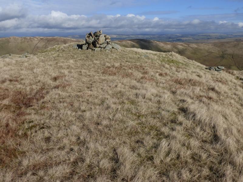
(4) Descend roughly N, soon crossing a stile then continue down before ascending by the side of the wall ascending NNW to the W of Castle Fell. After about 600 m, turn NE and ascend towards the gap between Castle Fell and its W top – both are clearly seen in clear weather and a track goes through the gap. Leave the track just before its highest point and ascend the top to the right where there is a small cairn which marks the summit of Castle Fell, 478 m.
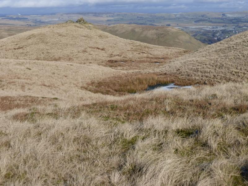
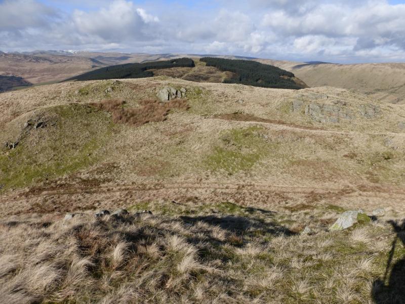
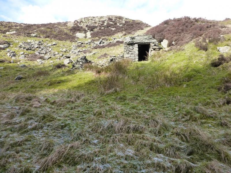
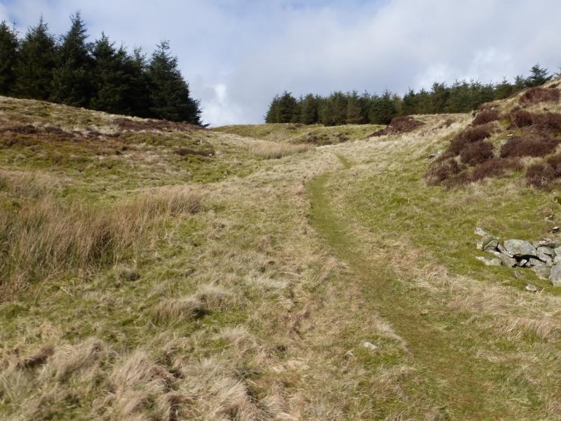
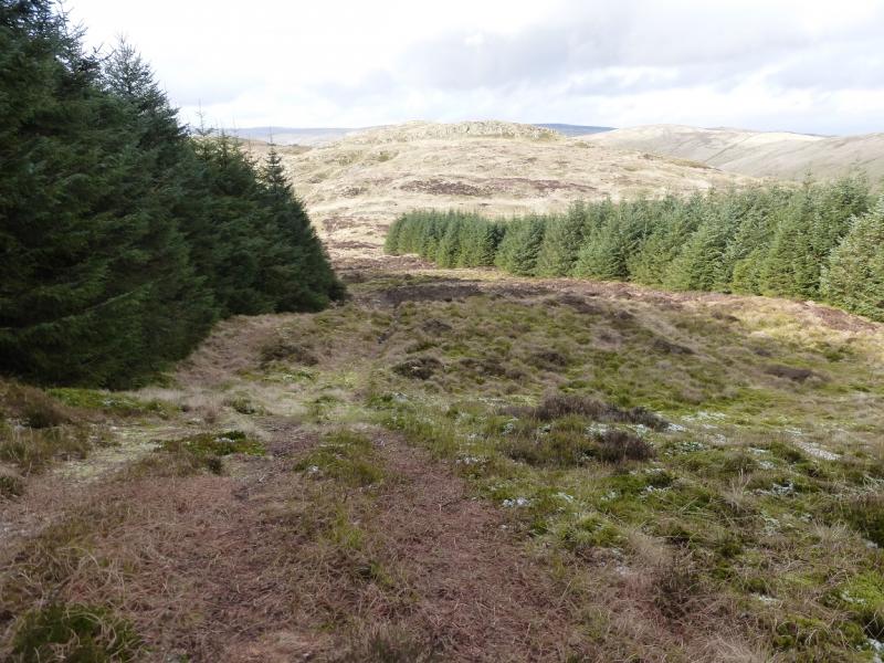
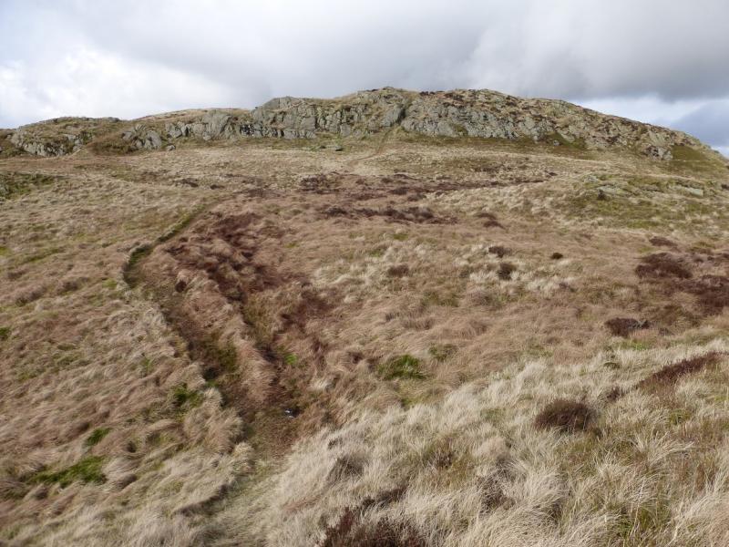
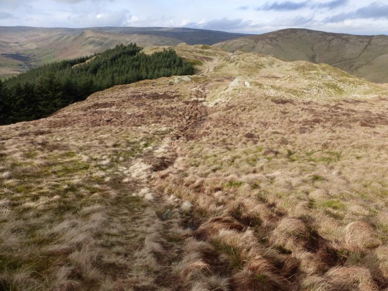
(5) Cross the gap to the lower top then descend NNW towards the forestry guarding Mabbin Crag. A wall lies in front of the forestry. There does not seem to be an obvious way through the trees but if one walks from the highest point of the wall, a path is found going through the trees to emerge below a stone hut (not shown on the map). Alternatively, follow the wall further down and go around the trees to reach the stone hut. From here, a path picks its way up to reach the small cairn which is the summit of Mabbin Crag, 482 m.
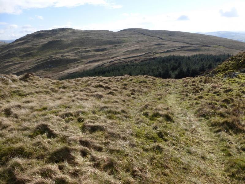
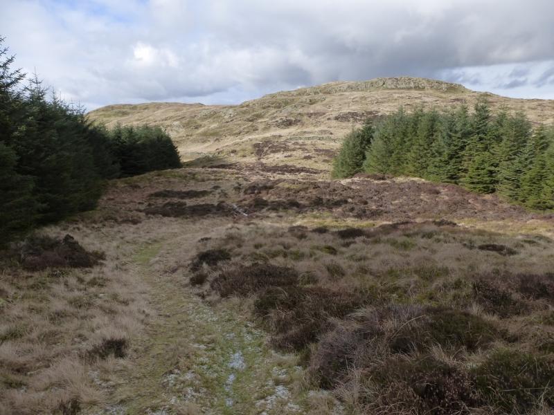
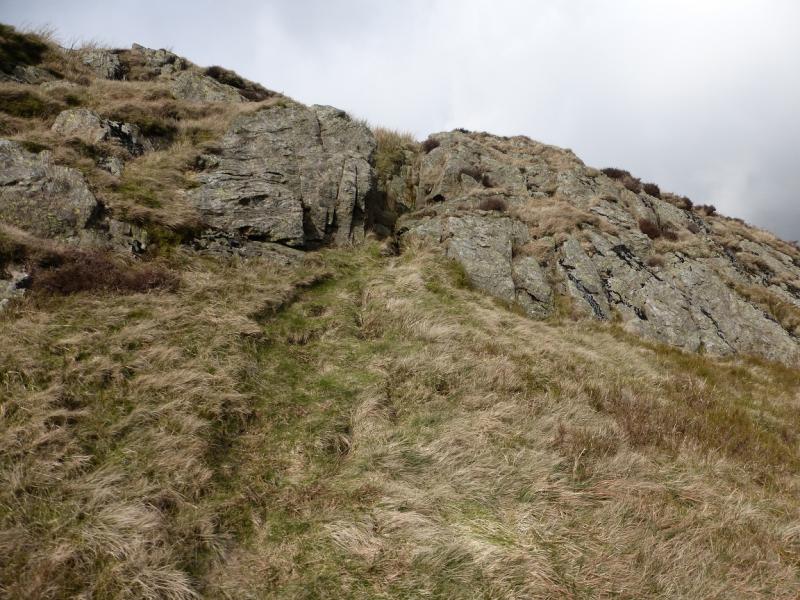
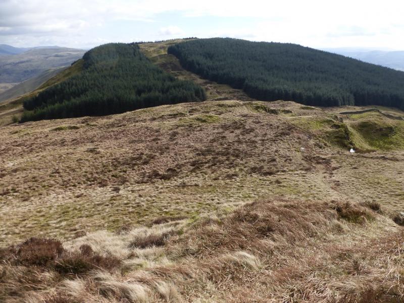
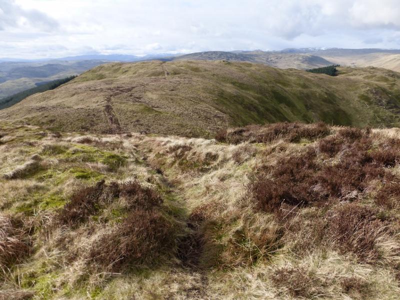
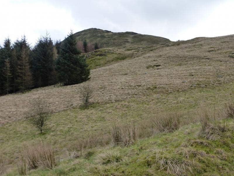
(6) The descent towards Ashstead Fell seems blocked by trees but follow the only path heading n then NW which goes between two large plantations. Follow the path down then up onto the E end of Ashstead Fell. The path goes up an easy rocky groove on the way. The highest point is the first top which has no cairn but can be taken as the summit of Ashstead Fell, c 470 m.
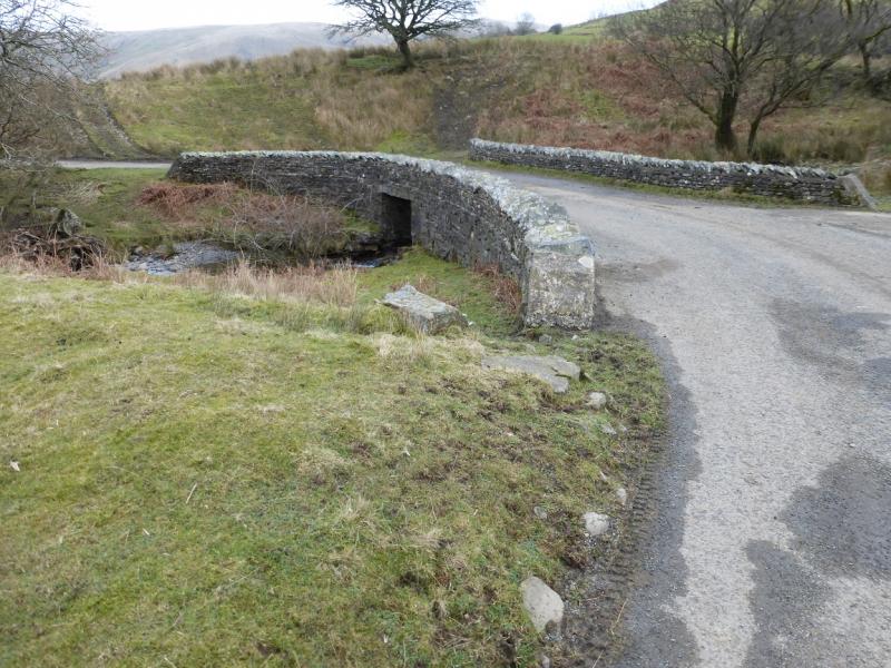
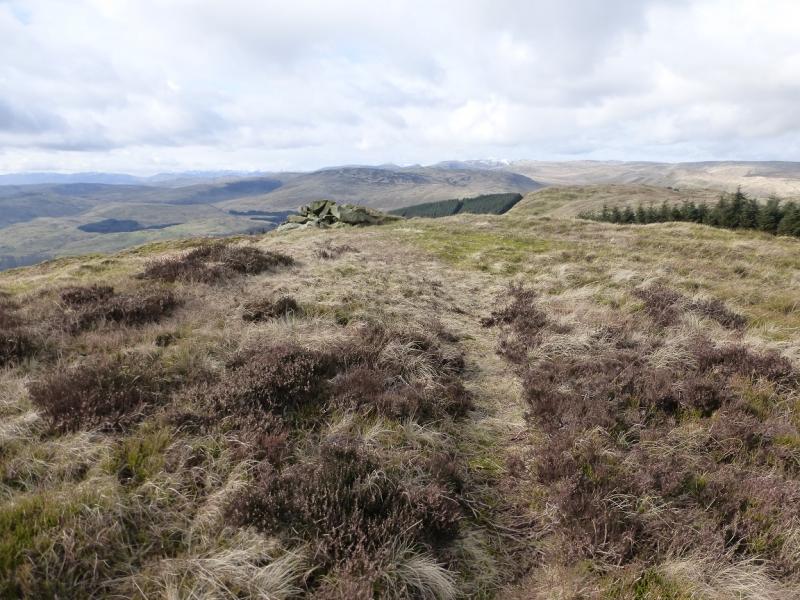
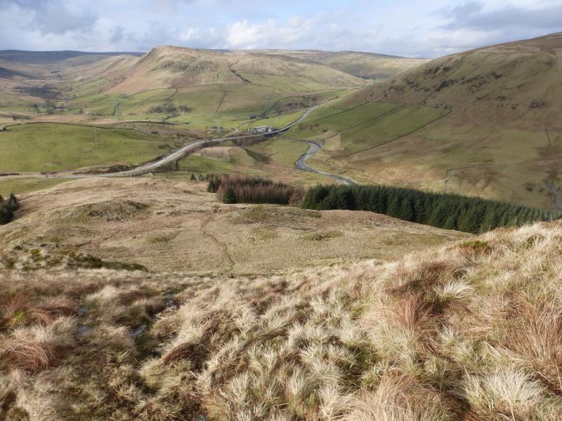
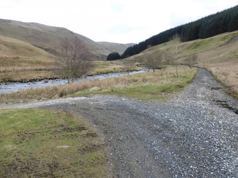
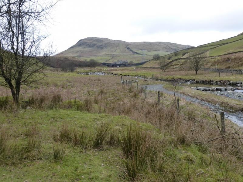
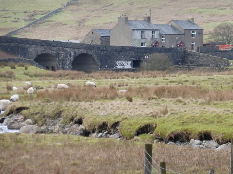
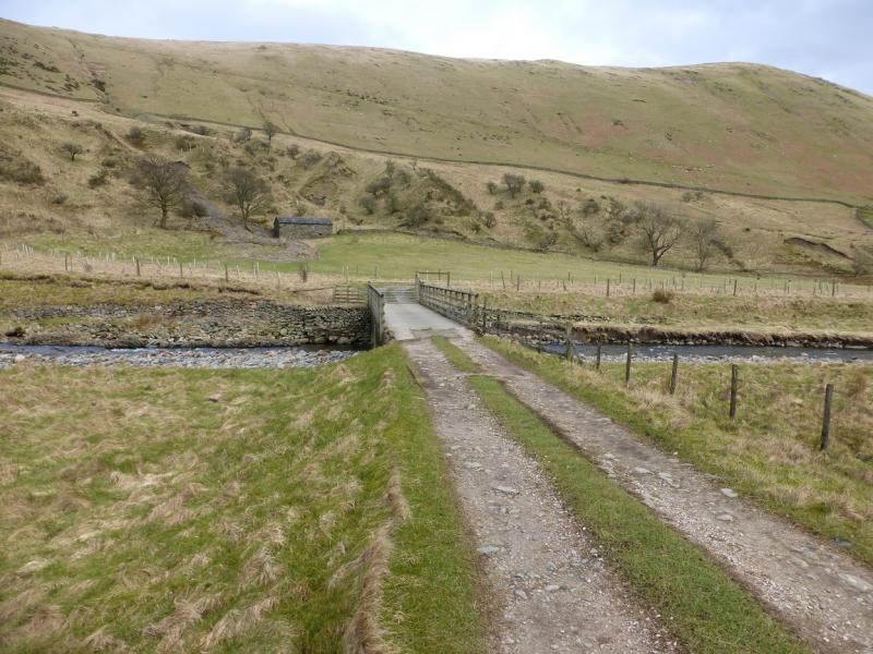
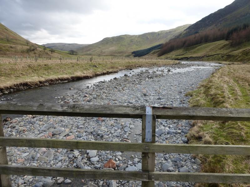
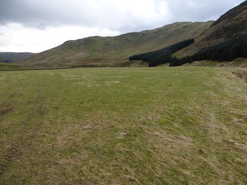
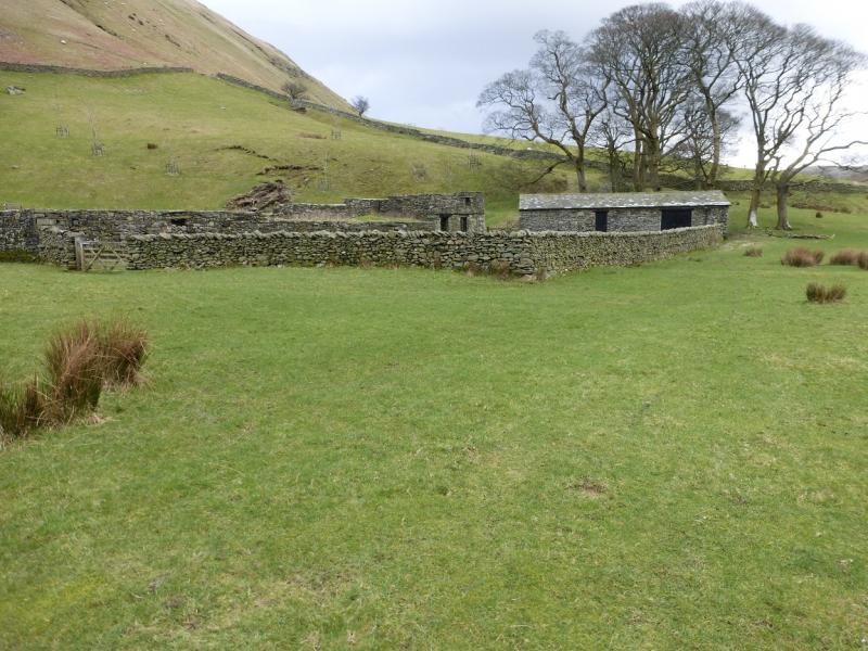
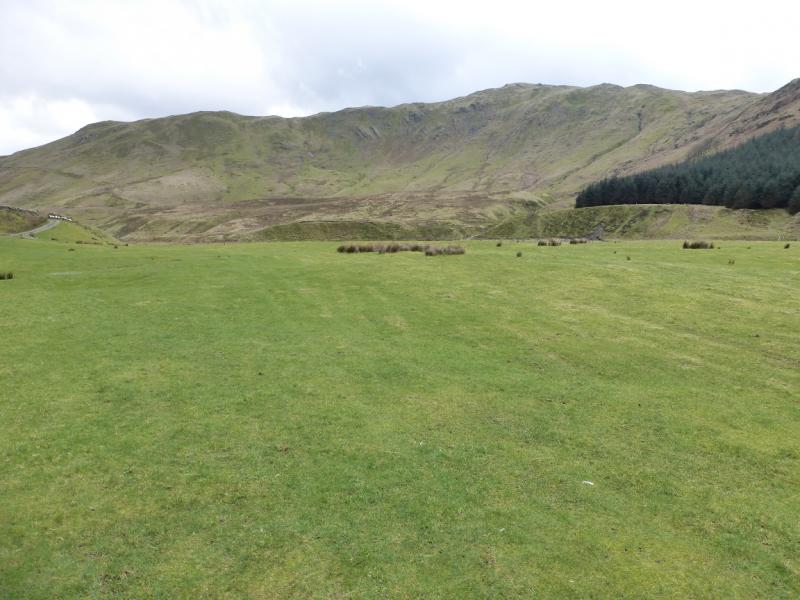
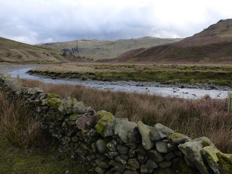
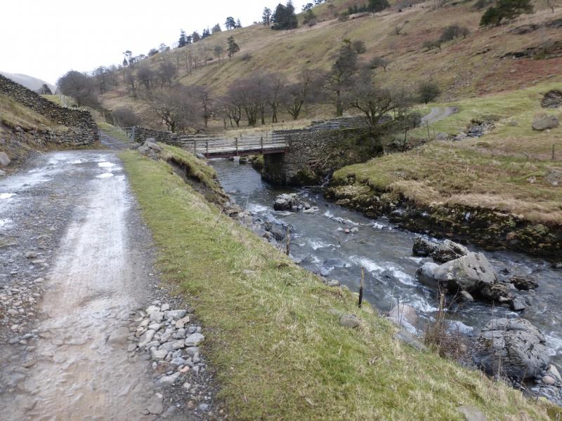
(7) Continue along the crest and reach a beacon cairn, 455 m, just above the forest. Continue along the crest, descending NW, steeply in places, to reach the track through Borrowdale just before the A6. Follow the track down then E on the S side of the river. After about 1.5 km, the track crosses a bridge then continues past the abandoned farm at High Borrowdale. A little further, the route stays on a bank high above the river – there is a sign. Continue and reach Low Borrowdale Farm. Go through the farm, going right on the river side of the buildings to gain an obvious track continuing down the valley. Continue along the track to reach a bridge where the track crosses back to the S side of the river. From here, there are a few ascents on the track but, overall, height is still being lost. Further on, a curving bridge crosses a tributary before the tarmac road is reached which is followed to the A685 then back to the car park – slightly uphill!
Notes
(a) This walk took place on 24th February, 2016.
(b) An alternative start is to drive a short distance up the the minor road in Borrowdale to reach a “car park” before a gate. One then walks back to the A685 then south past the information car park as described above.
Photos - Hover over photo for caption. Click on to enlarge. Click on again to reduce.

![]()
![]()
![]()
![]()
![]()
![]()
![]()
![]()
![]()
![]()
![]()
![]()

![]()
![]()
![]()
![]()