Get Lost Mountaineering
You are here: England » Peak District » West of Hayfield to Buxton Road
Combs Edge, Short Edge & Black Edge from Combs Village
Combs Edge, Short Edge & Black Edge from Combs Village
Start/Finish
Combs village which lies south of B5470 road from Whaley Bridge to Chapel-en-le-Frith. Turn south off this B road at the Hanging Gates public house which is just west of Combs Reservoir. There is limited roadside parking in the village. Park as close to the telephone box as possible. This is opposite the Bee Hive pub which has its own car park at £2 a day for non-customers if street parking is not available.
Distance/Time
16 km About 5 – 6 hours
Peaks
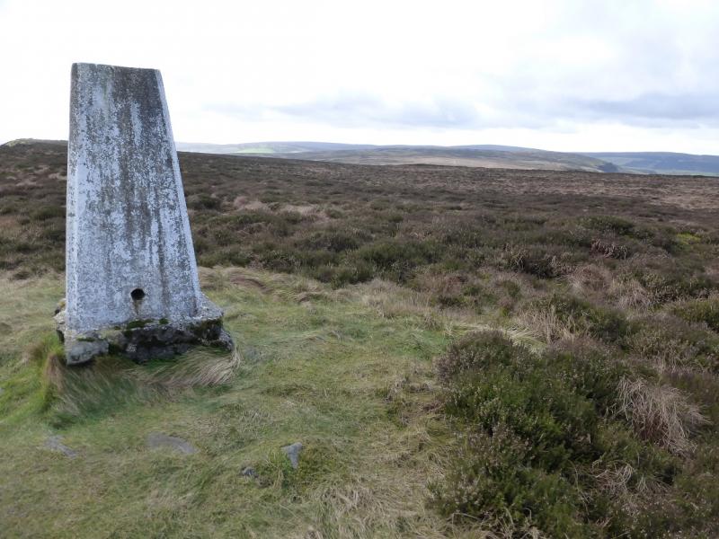
There are no peaks as this is an edge and moorland walk. The highest point reached is the 50 m trig point on Black Edge.
OS Outdoor Leisure 24: White Peak. OS 119 (1:50 000).
Introduction
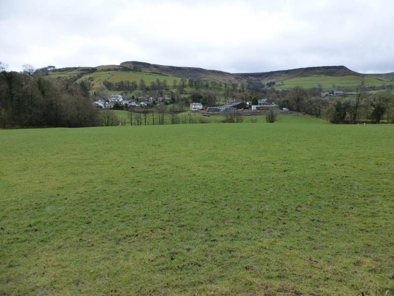
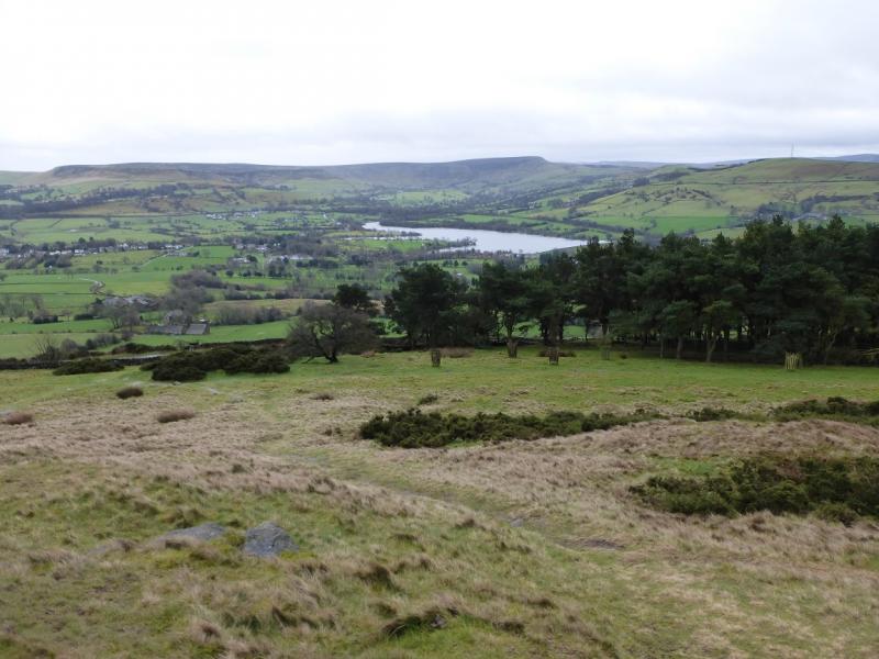
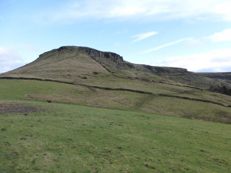
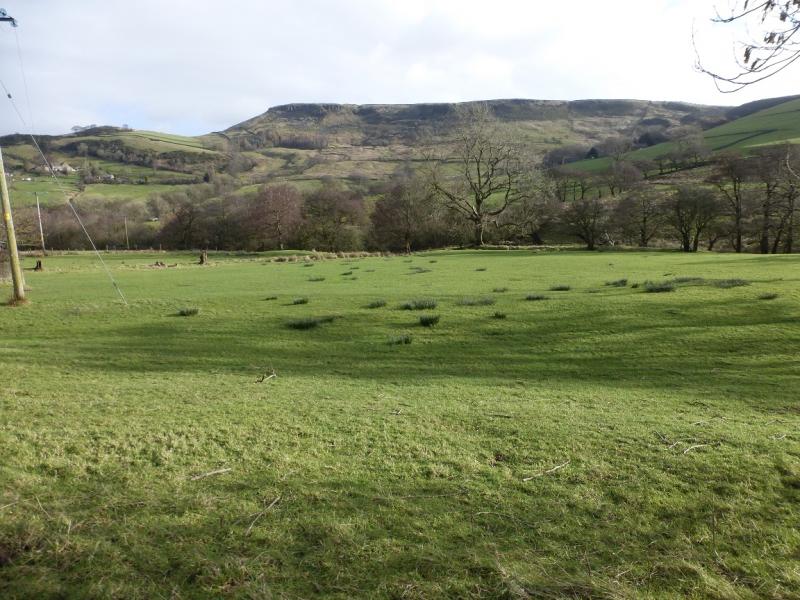
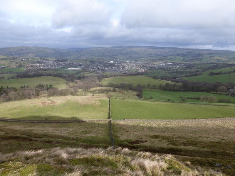
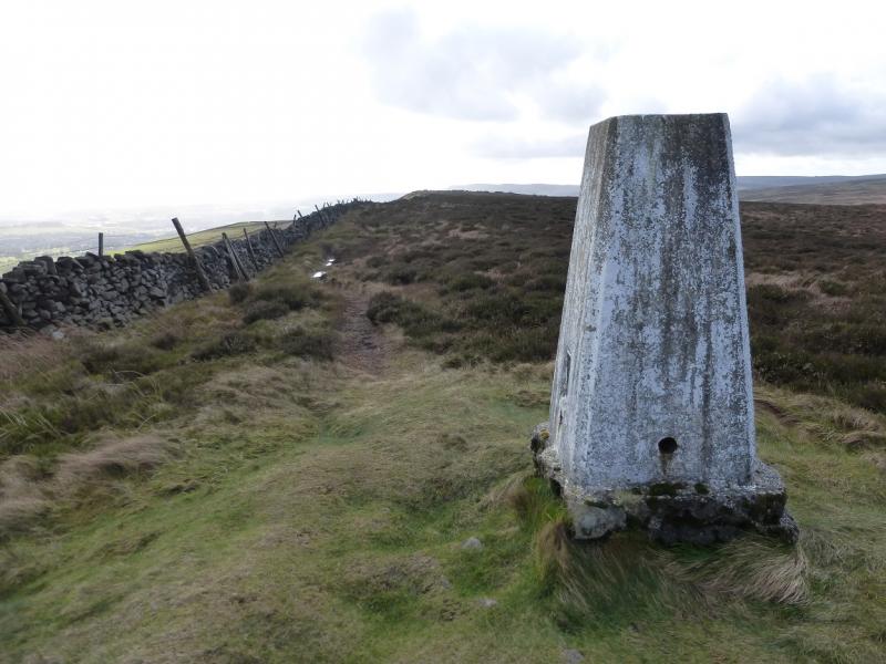
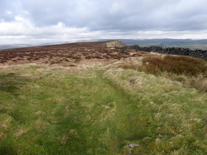
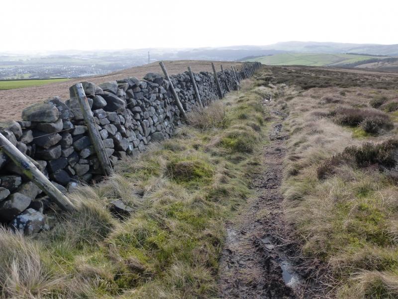
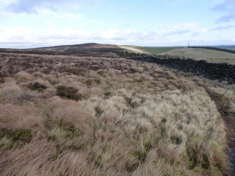
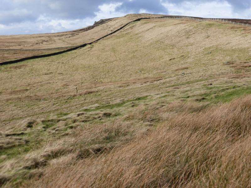
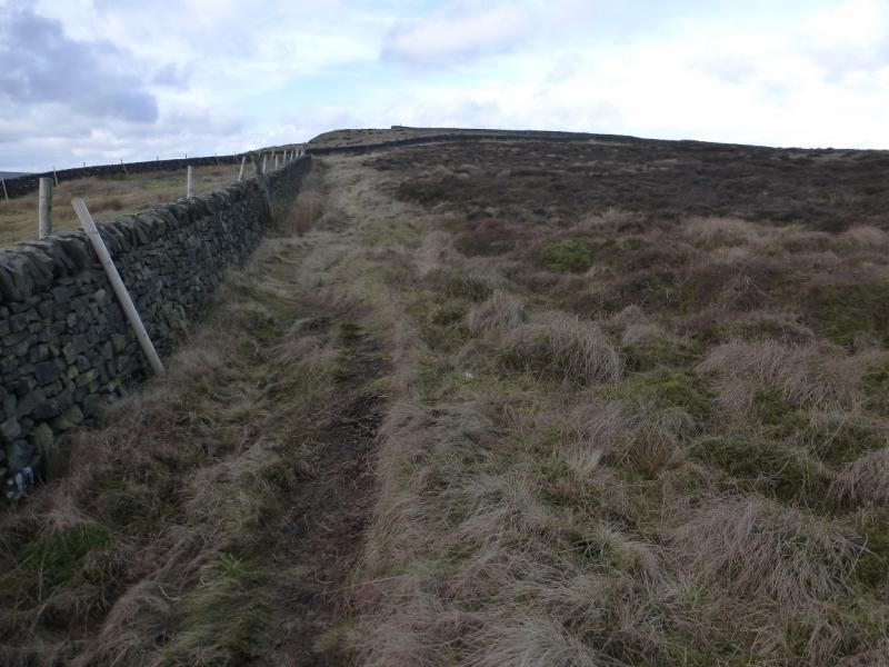
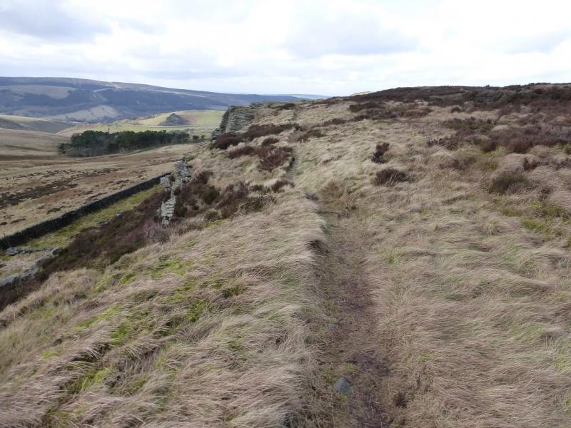
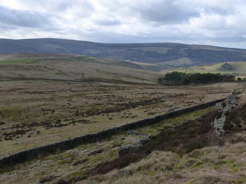
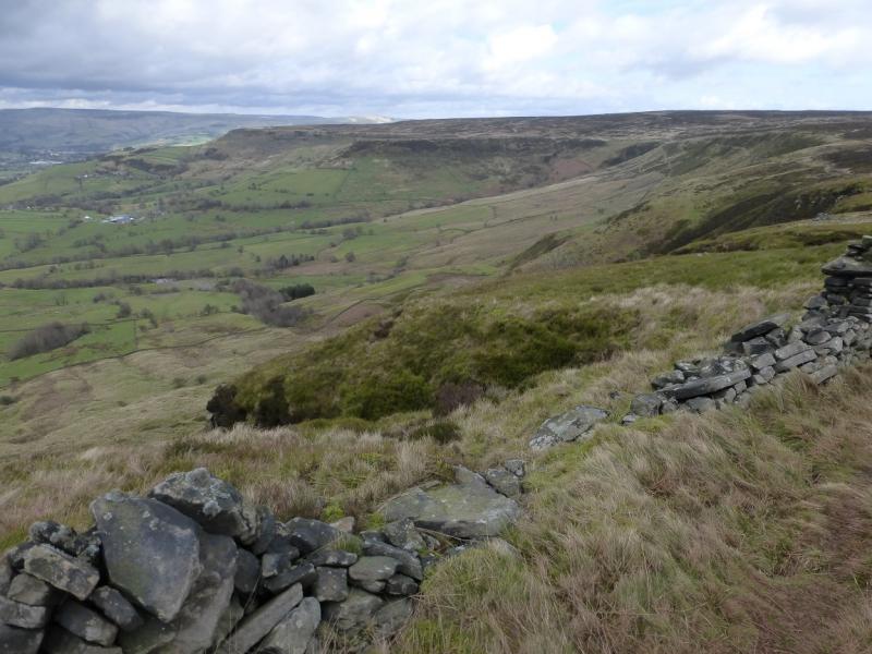
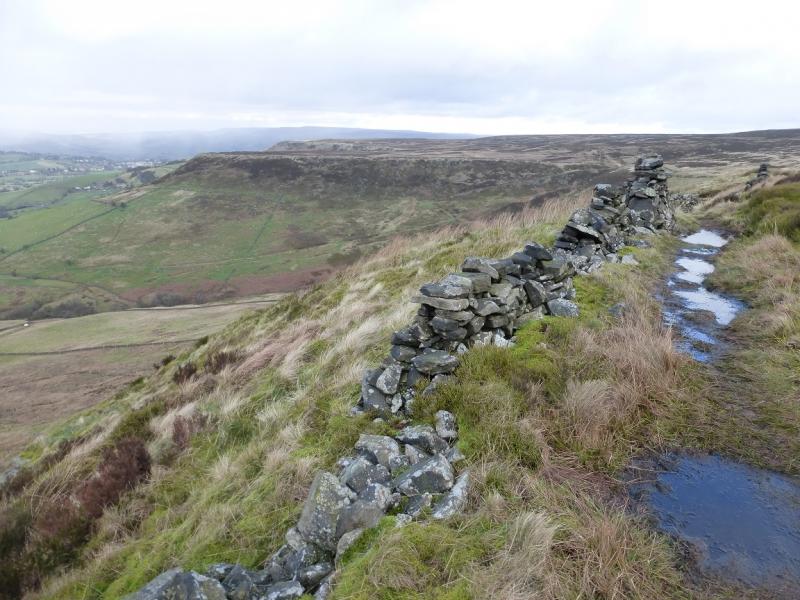
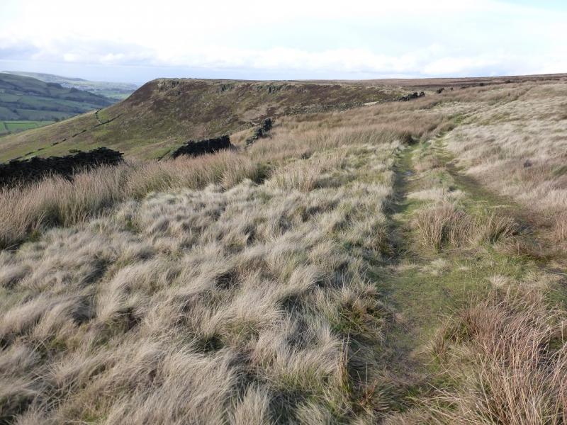
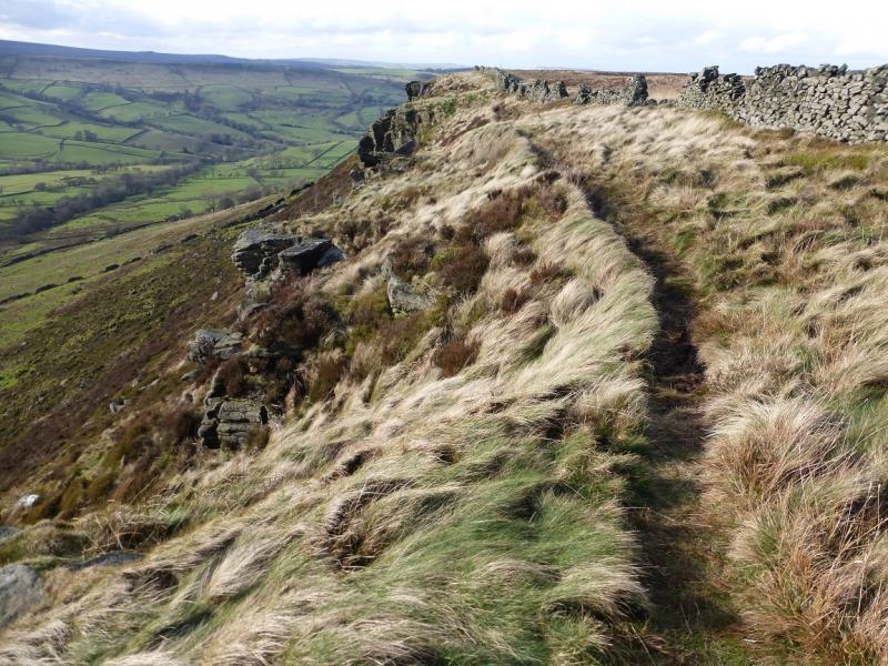
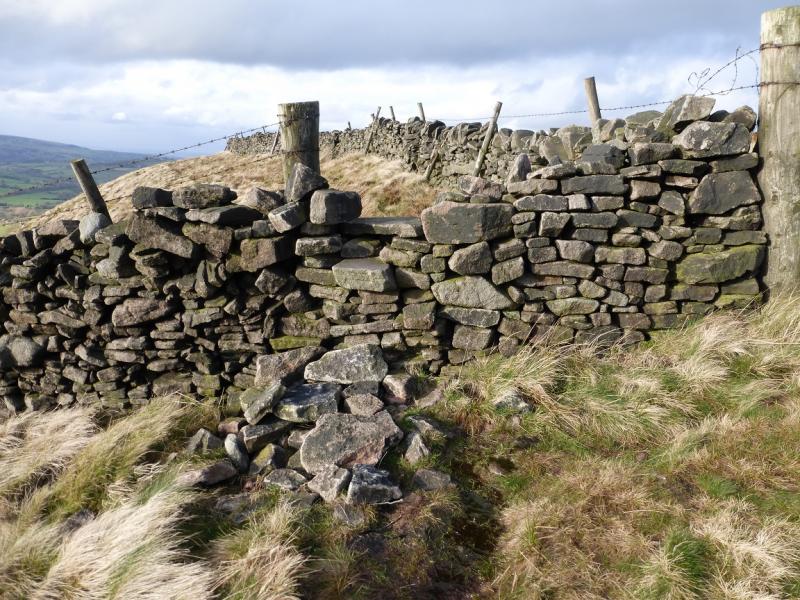
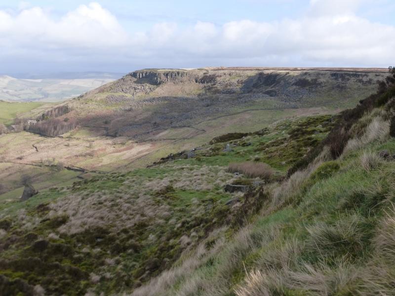
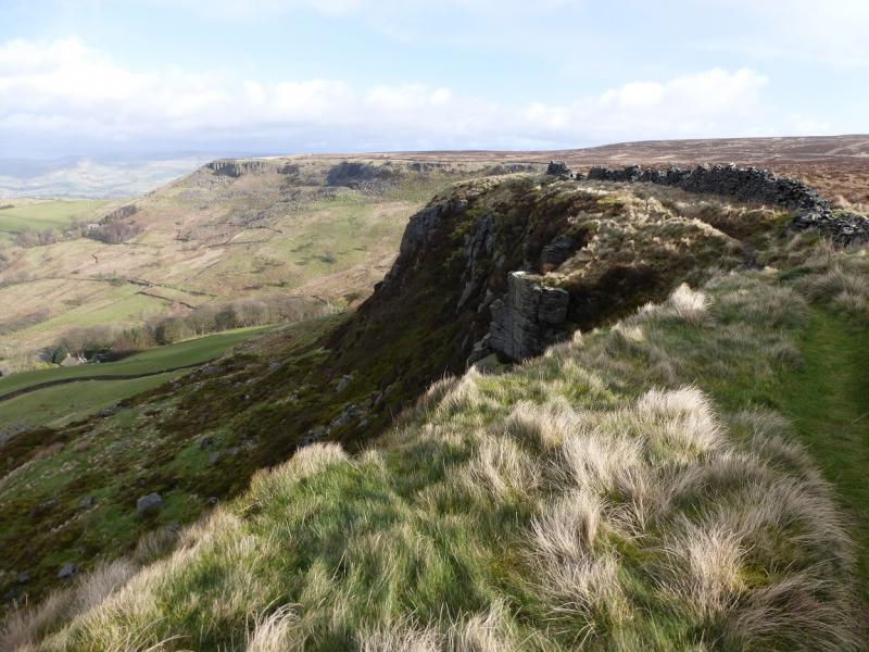
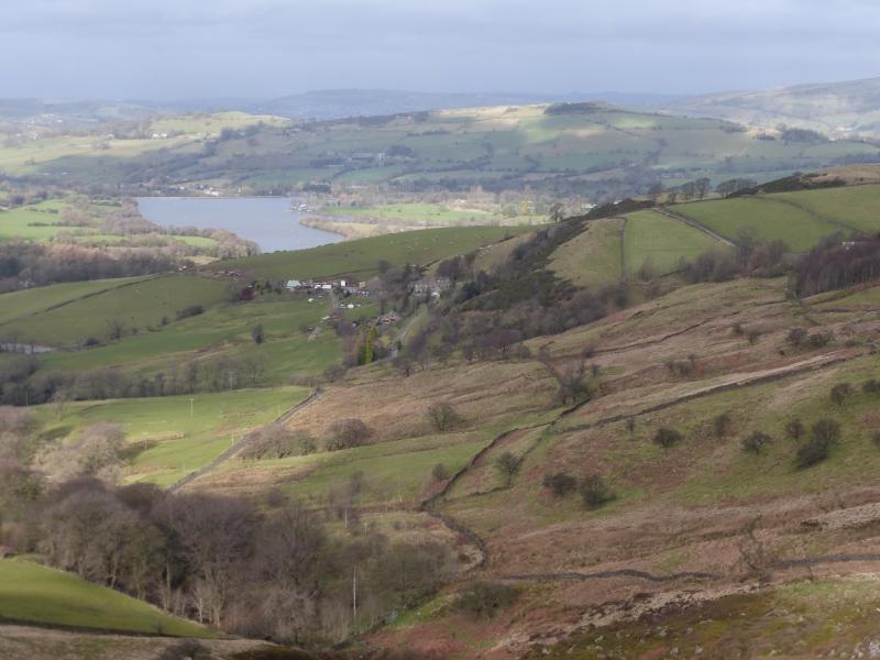
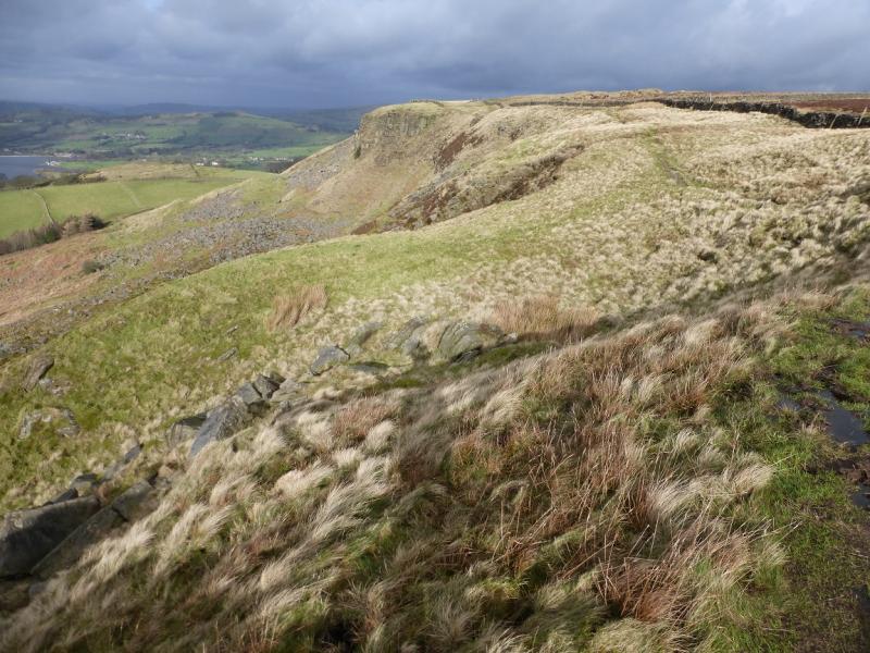
This is a mainly pleasant walk ideal for a short winter's day although the path can be wet and muddy in places. The route is a circuit of Combs Moss by its edges of which only three are named: Combs, Short and Black. On a clear day, there are superb views to Eccles Pike, Chinley Churn, Mount Famine, South Head, the Kinder skyline, Brown Knoll, Shining Tor and Cats Tor. Navigation is straightforward as a wall is followed almost all of the way around Combs Moss.
Route
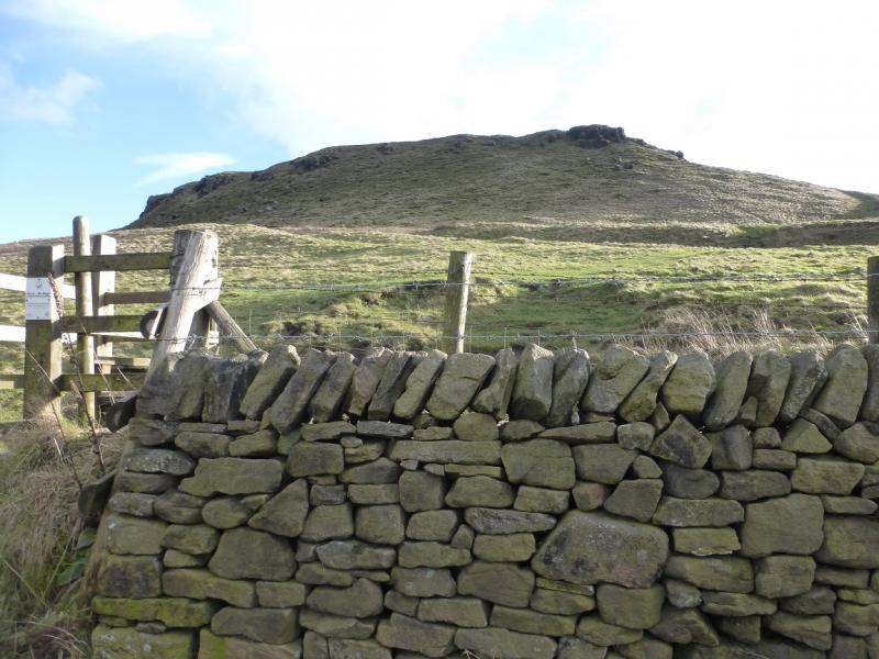
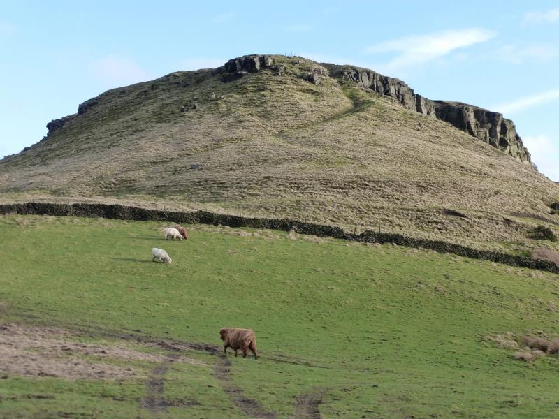
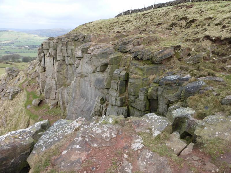
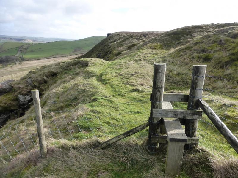
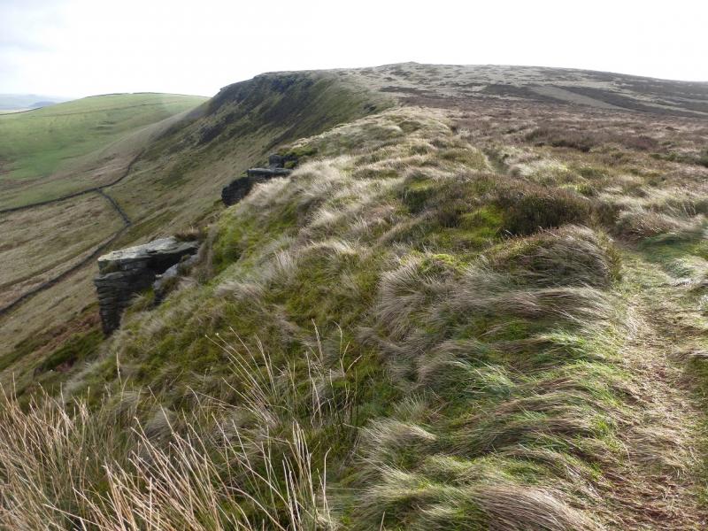
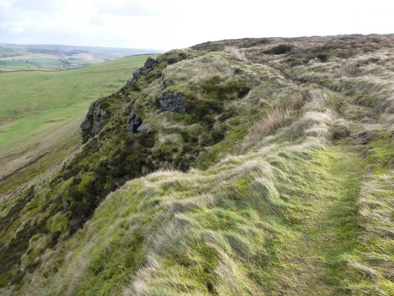
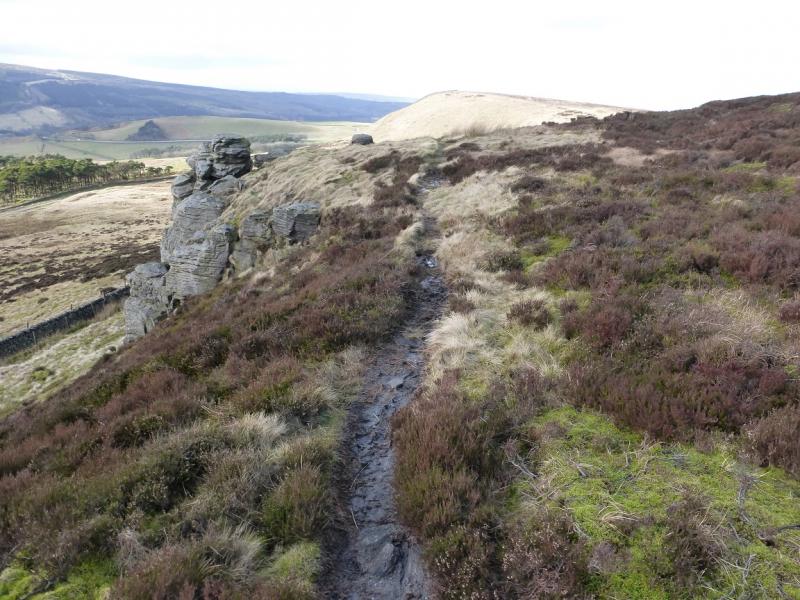
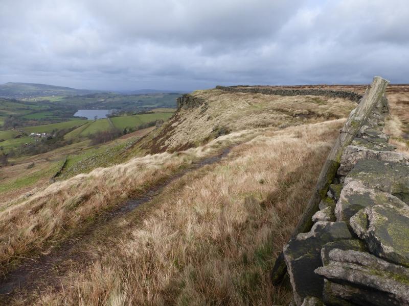
(1) Follow the road around to the left, past the telephone box. When the road splits, take the left fork and stay on this road, ignoring a turn on the right. The road climbs very steeply in places and passes Castle Naze Farm. When the road levels out, at about 378 m, look for a stile on the right and follow the path up heading for the rocks of Castle Naze at a height of about 443 m. There is an obvious path along the edge so turn left, E, and follow it along Short Edge which soon turns S and is easily followed to the trig point.
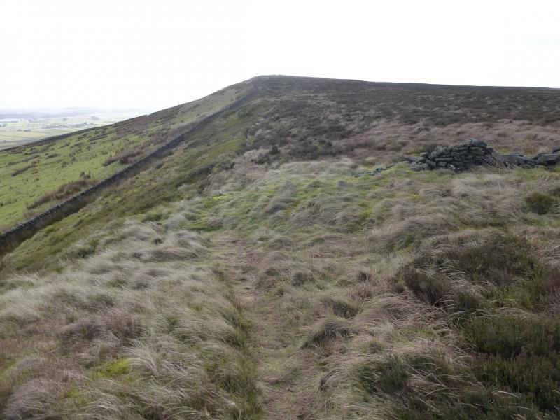
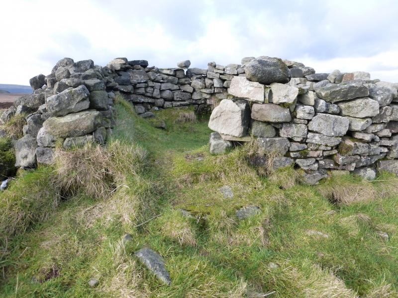
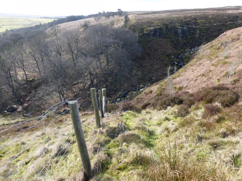
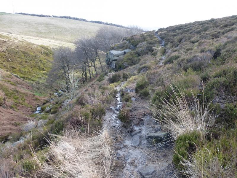
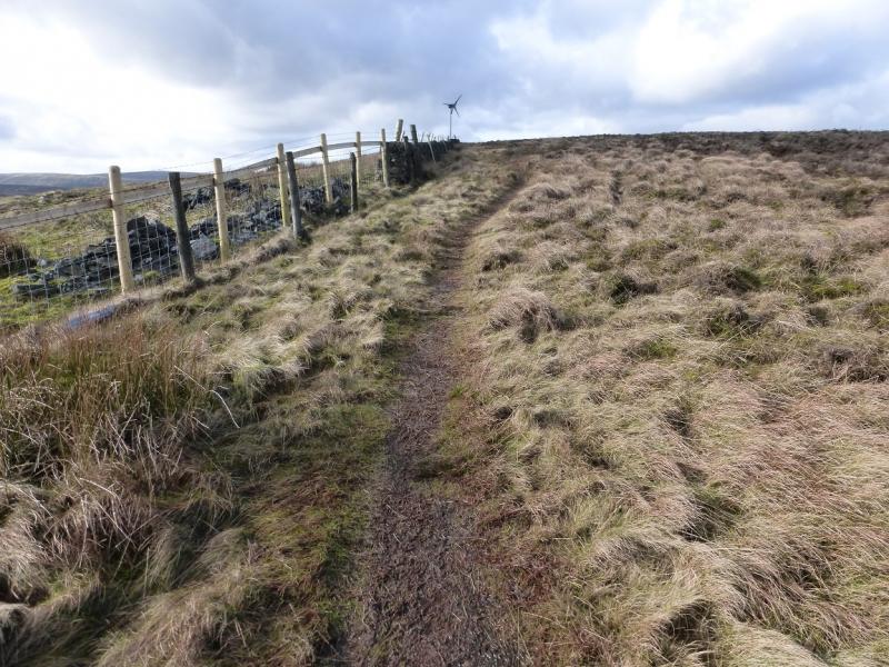
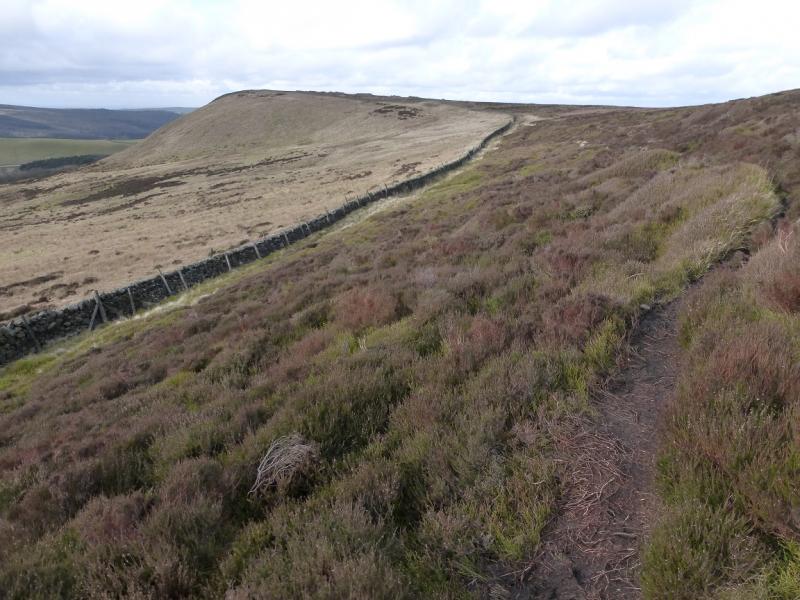
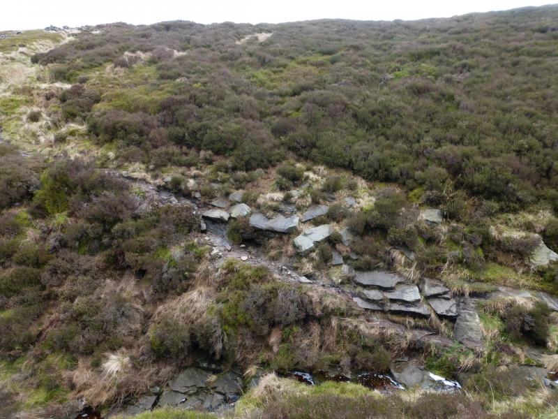
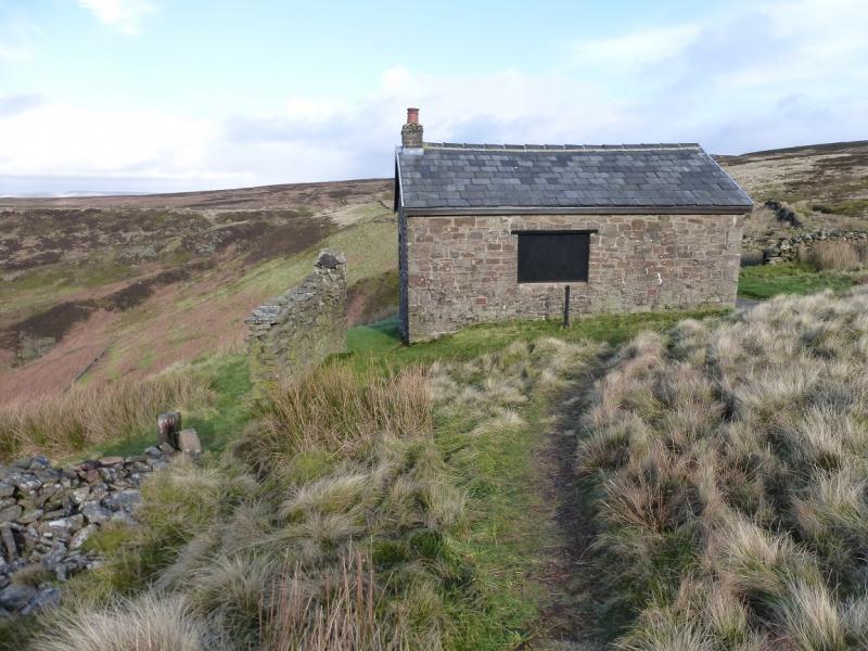
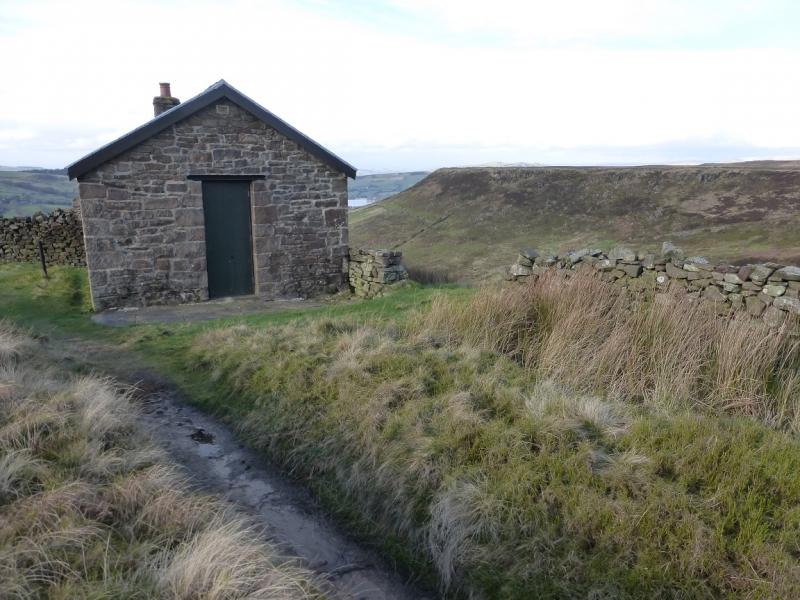
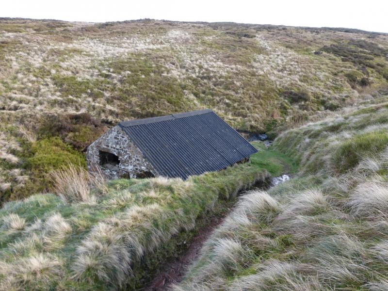
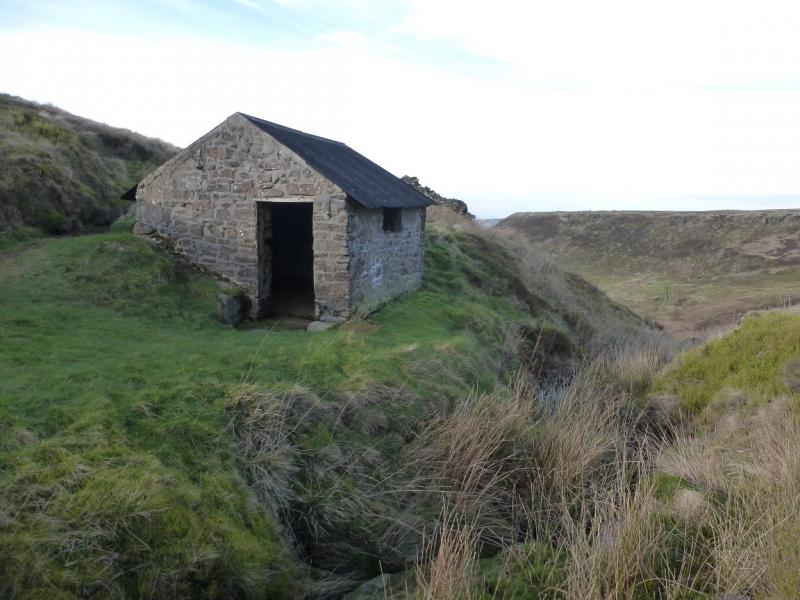
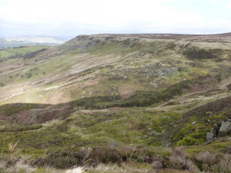
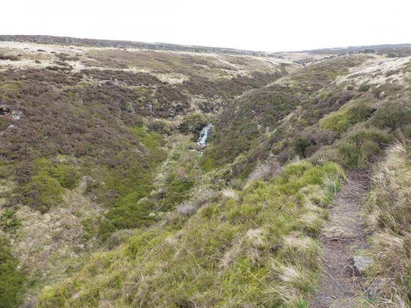
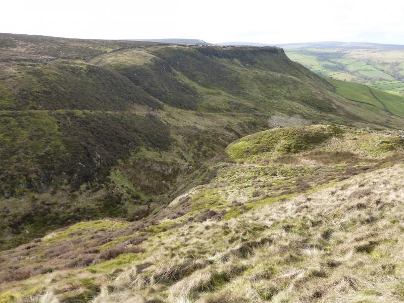
(2) Continue along the edge, heading roughly S. In about 700 m, reach a shelter cairn marking the start of a wall across Combs Moss but this route ignores that and continues ahead, descending gently, by the wall on the left. Soon the deep and wide gully known as Flint Clough is reached. The path traverses right, up the gully, with little loss of height, before crossing the stream then traversing back to the wall around Combs Moss. Follow the wall towards a single small wind turbine which is after a corner. Continue following the path by the wall until the wall goes left at a corner and the path goes straight on. The path is now on the edge and the wall just below and they join up again further on. Continue to reach a shooting hut before a wide gully. The hut is locked but about 50 m further and out of sight is a stone hut which is usually open if shelter is needed. Continue around the gully on the path and reach Combs Edge then Castle Naze. Descend by the ascent path and retrace to Combs village.
Notes
(a) This walk took place on 9th February, 2016.
(b) It is possible to drive up the road to the stile at 378 m but parking is extremely limited. However, this option would save about 140 m of ascent, about 3 km of road walking and about an hour in time.
Photos - Hover over photo for caption. Click on to enlarge. Click on again to reduce.