Get Lost Mountaineering
You are here: England » Peak District » West of Hayfield to Buxton Road
Combs Reservoir & Eccles Pike from Combs Village
Combs Reservoir & Eccles Pike from Combs Village
Start/Finish
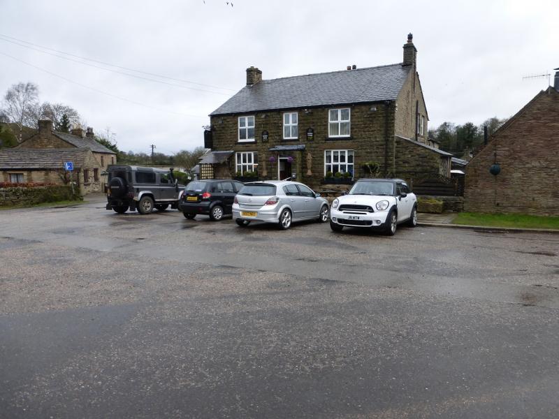
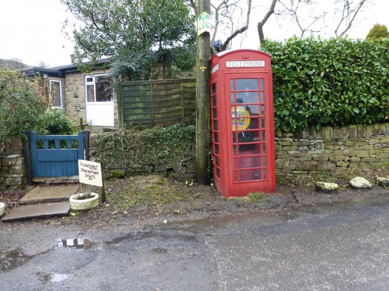
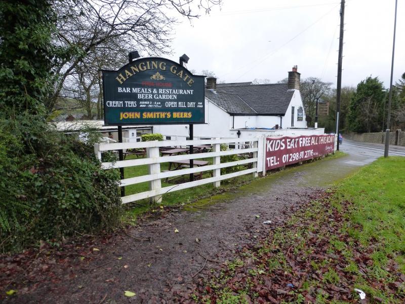
Combs village which lies south of B5470 road from Whaley Bridge to Chapel-en-le-Frith. Turn south off this B road at the Hanging Gates public house which is just west of Combs Reservoir. There is limited roadside parking in the village. Park as close to the telephone box as possible. This is opposite the Bee Hive pub which has its own car park at £2 a day for non-customers if street parking is not available.
Distance/Time
8 km About 2 – 3 hours
Peaks
Eccles Pike, 370 m, SK 034 811.
OS Outdoor Leisure 1: Dark Peak. OS Outdoor Leisure 24: White Peak.
OS 110 & OS 119 (1:50 000).
This route is very awkward using conventional maps as part of it is on the bottom of OL 1 and the other part is on the top of OL 24. Likewise OS 110 and OS 119. One way around this is to buy a “Yellow Walk Map” which is a small section of the OL maps but at a larger scale of 1 : 16 000 (clearer mapping) and taken directly from the OL maps. The one which fits this route perfectly is called Chapel-en-le-Frith, Dove Holes & Whaley Bridge and it is easily popped into a pocket as well as being laminated and waterproof.
Introduction
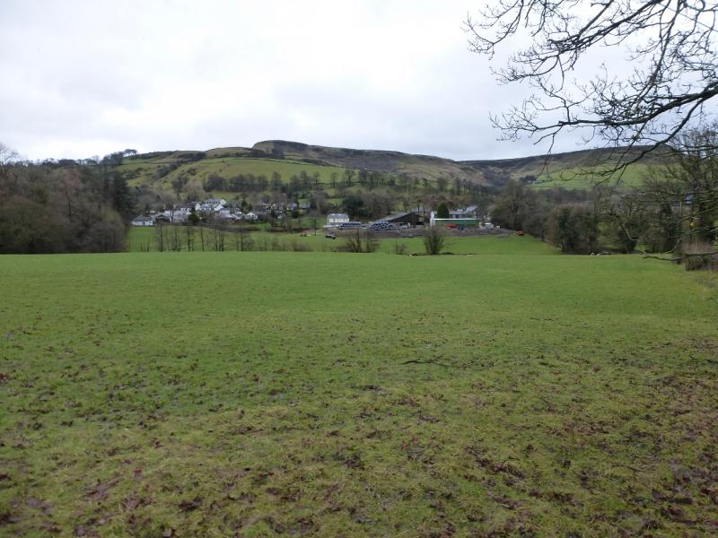
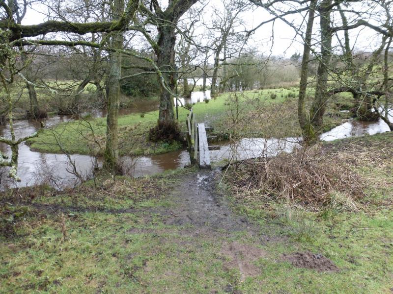
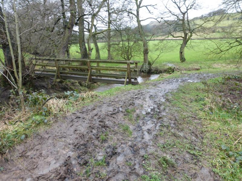
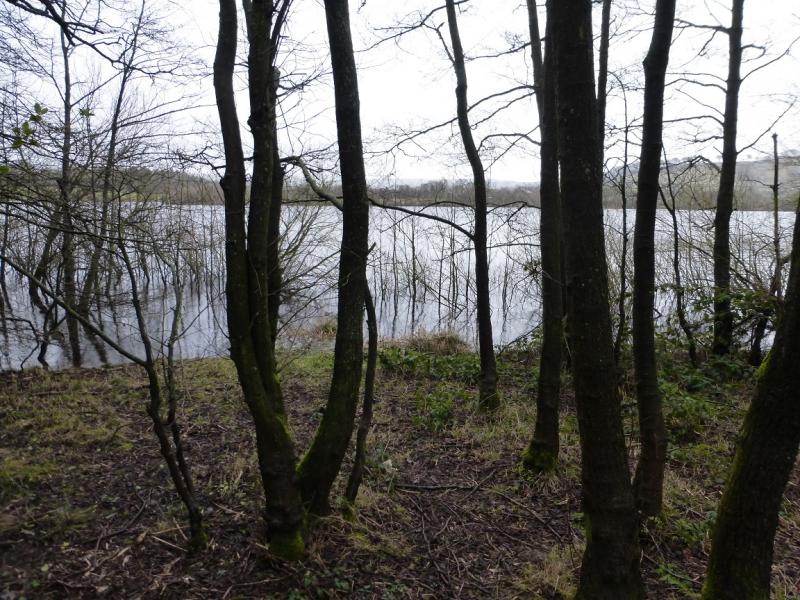
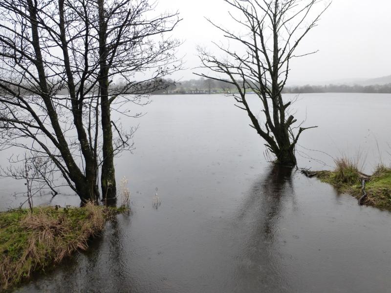
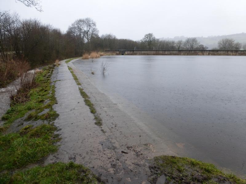
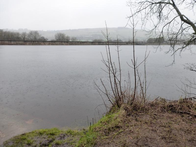
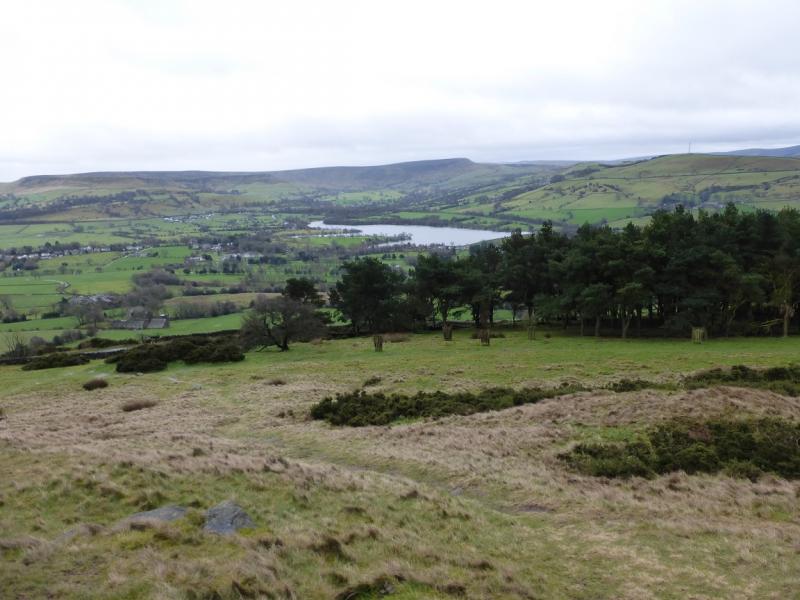
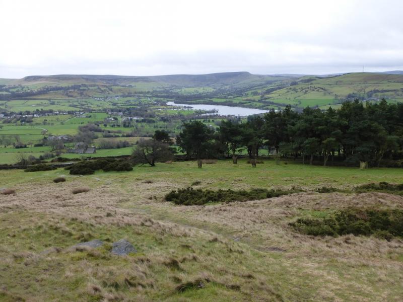
This is a mainly pleasant walk ideal for a short winter's day. Eccles Pike is an excellent viewpoint for Chinley Churn, Mount Famine, South Head, Kinder and Brown Knoll. In wet weather, the path by the side of Combs Reservoir can be very boggy. In very wet weather, this path may be submerged just before the dam if the reservoir has over filled. It would only take a few minutes to drive to the car park at the north west corner of Combs Reservoir and check whether this path is under water or not. The return from the B5470 uses the minor road to Combs as there is no suitable path alternative.
Route
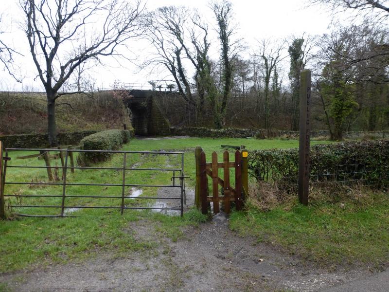
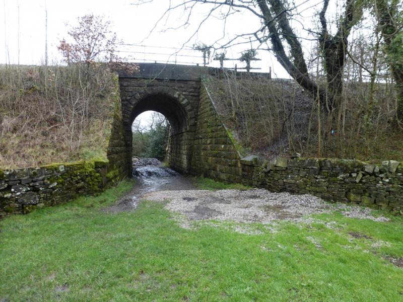
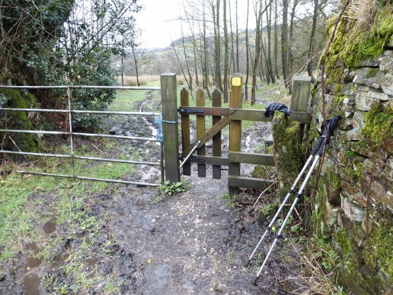
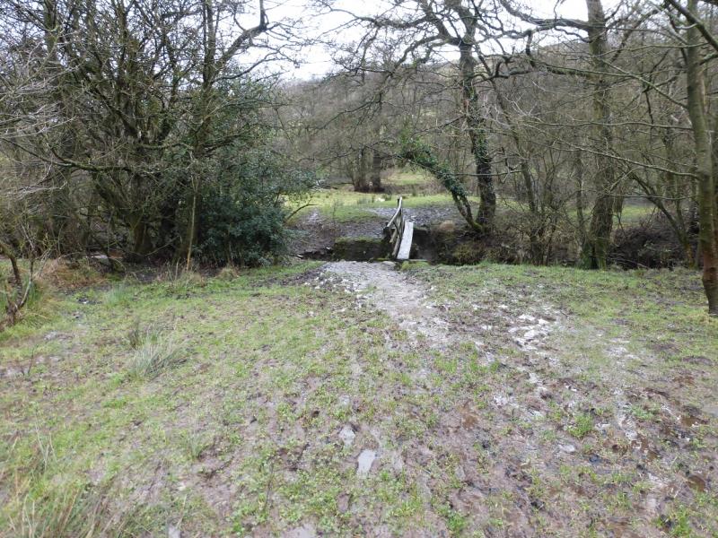
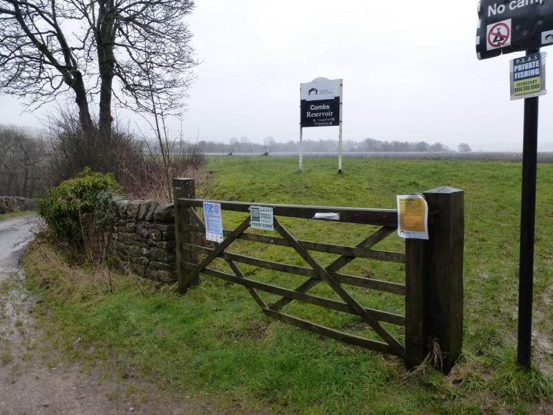
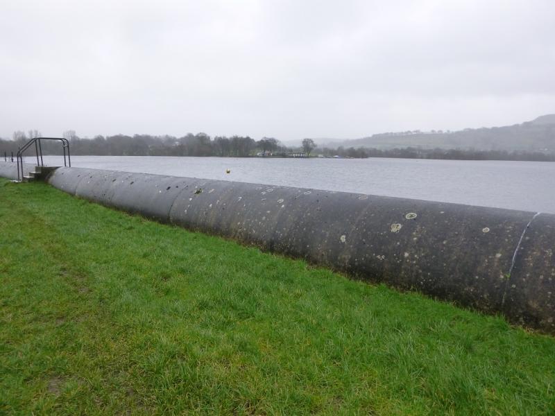
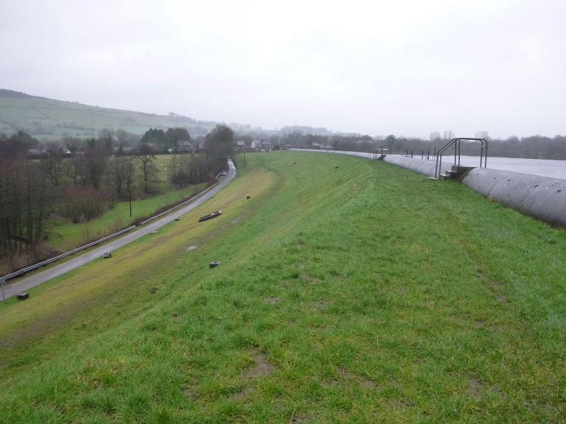
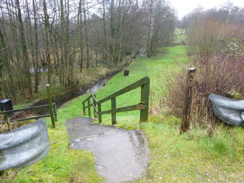
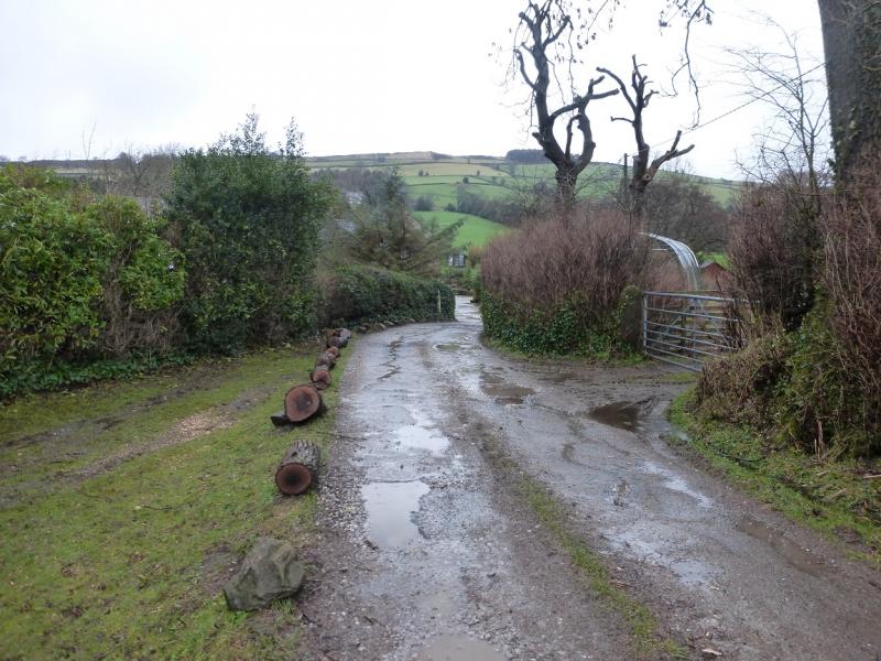
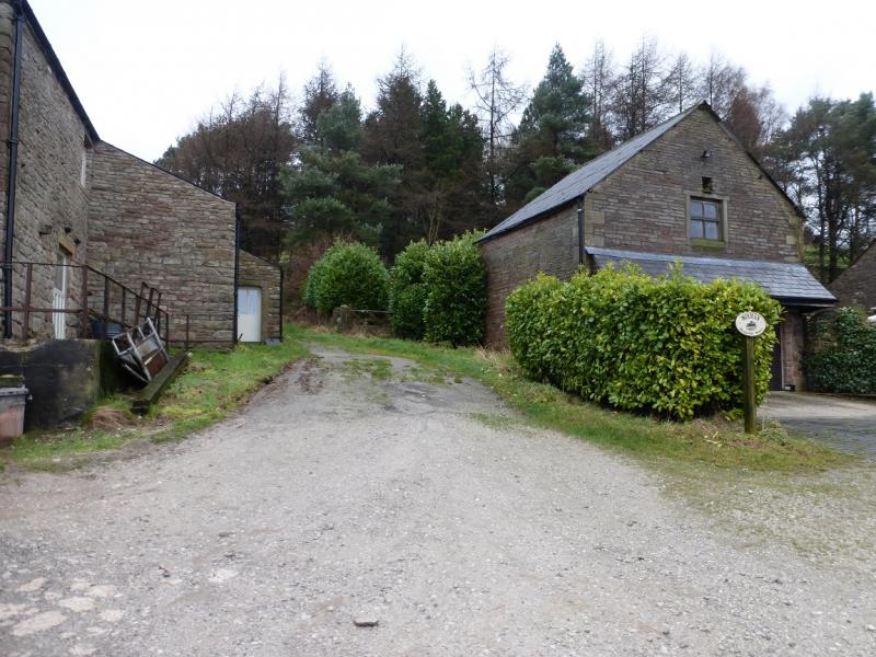
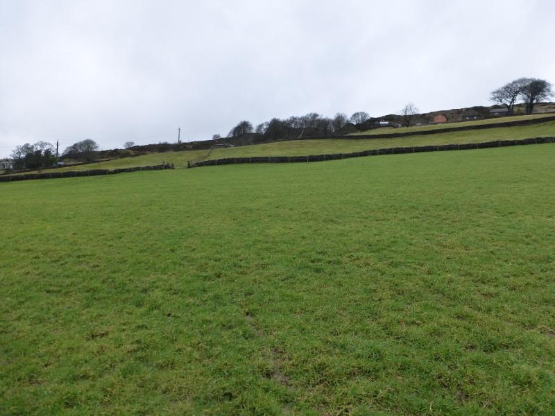
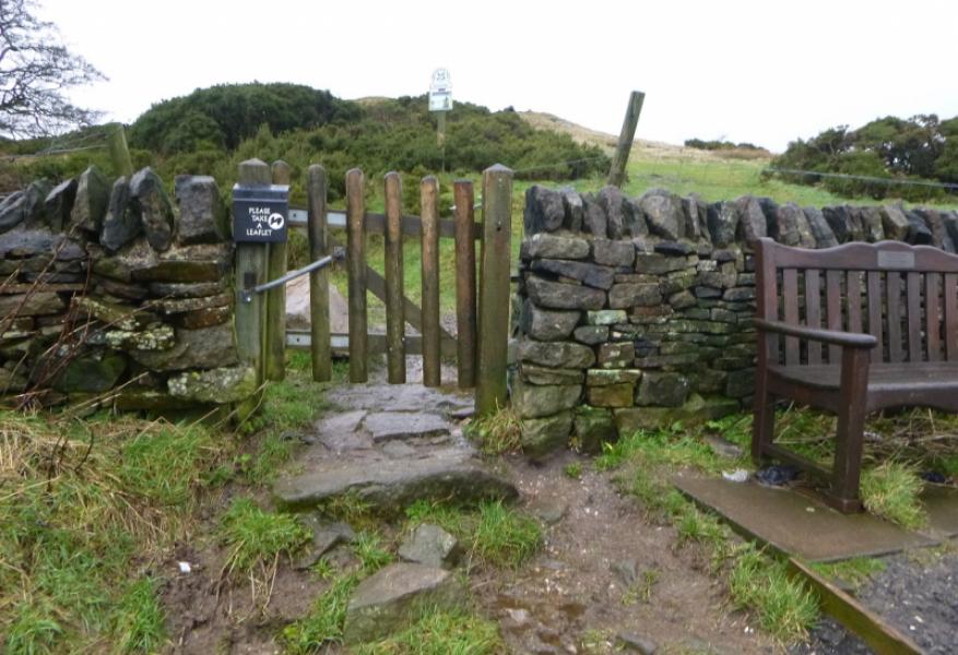
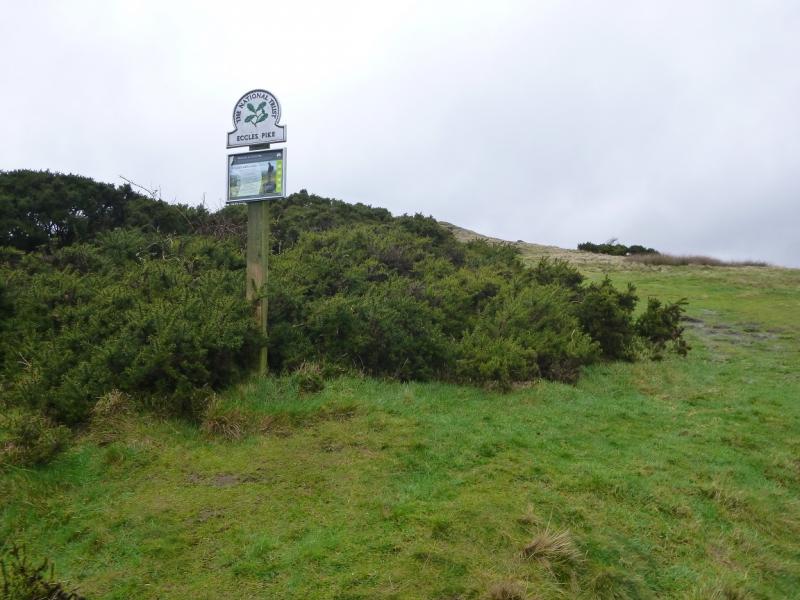
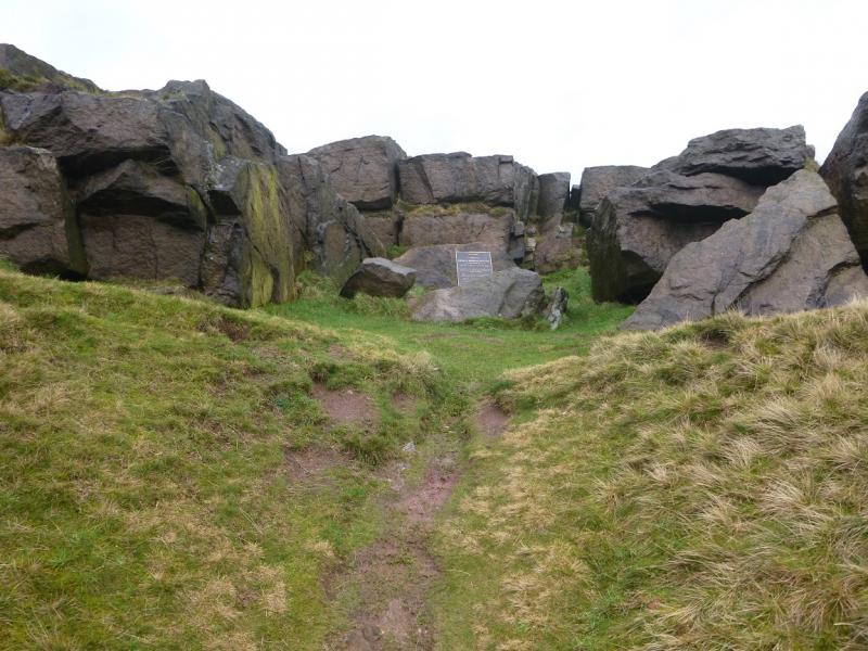
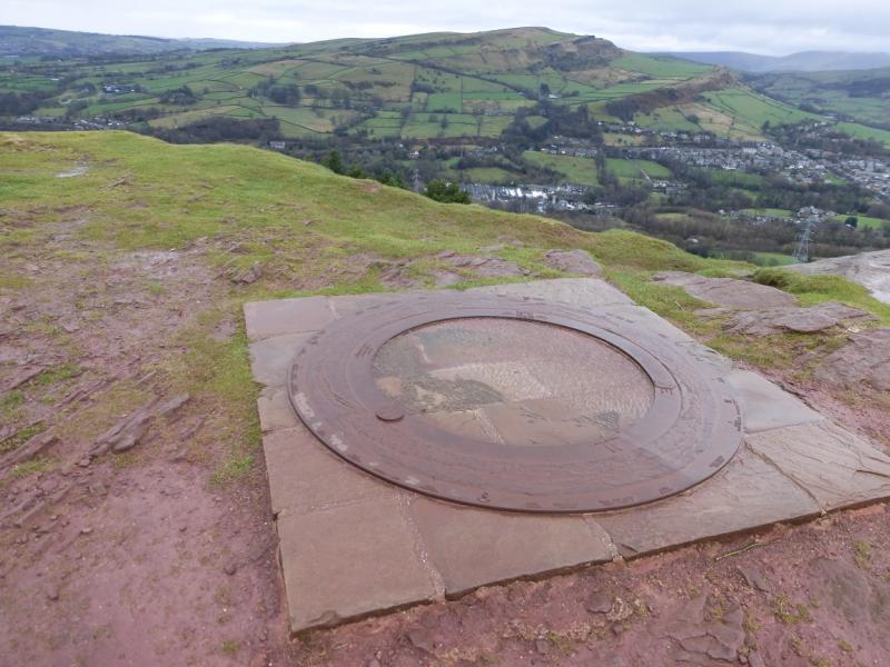
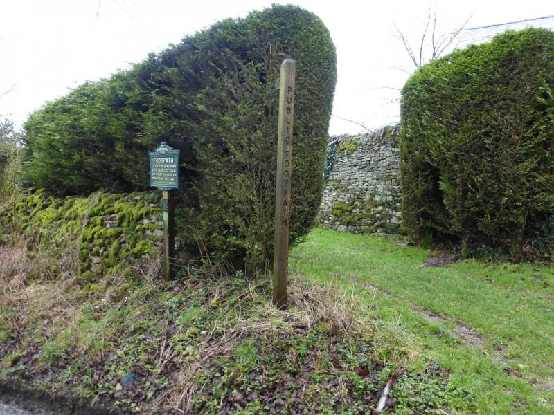
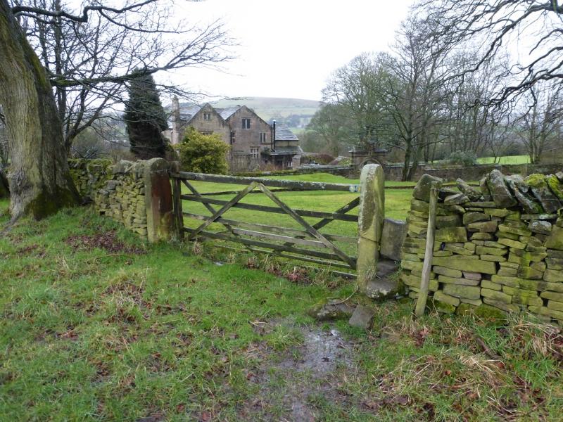
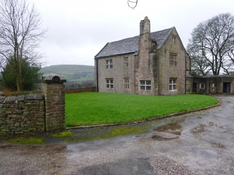
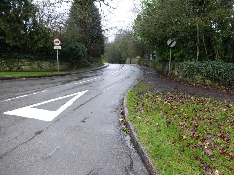
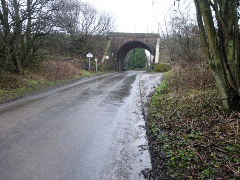
(1) Facing the Bee Hive pub, take the road down its left hand side then, almost immediately, fork left. Follow the road for about 500 m to a right hand bend where a path goes off right and under a railway bridge. The path becomes very boggy almost immediately. Go under the bridge then immediately go right, through a gate. Soon after cross a footbridge over Meveril Brook then go left on the muddy path. Do not continue to a second bridge as that will put you on the wrong side of the reservoir! Continue on the muddy path with Meveril Brook on your left. Ignore another bridge which crosses the brook. Eventually, the path becomes concrete and leads to the dam but this concrete section will be under water when the reservoir is high. Reach a minor road by a car park then walk along the dam for about half its length before dropping down to this road where a path goes down some steps and soon reaches the B5470. Cross over and take the track directly ahead. Follow this up to Woodside Farm then continue ahead between the buildings then cross a field going diagonally left to reach Eccles Road. The W ridge of Eccles Pike is ahead but there is no path to it so turn righ, ENE, and walk up the road for about 500 m to reach the access gate for Eccles Pike. In a few minutes, reach the summit which has no cairn but a large flat “plaque” which seems to mark the summit of Eccles Pike, 370 m. There is a rocky hollow just before the summit which can offer some shelter from bad weather.
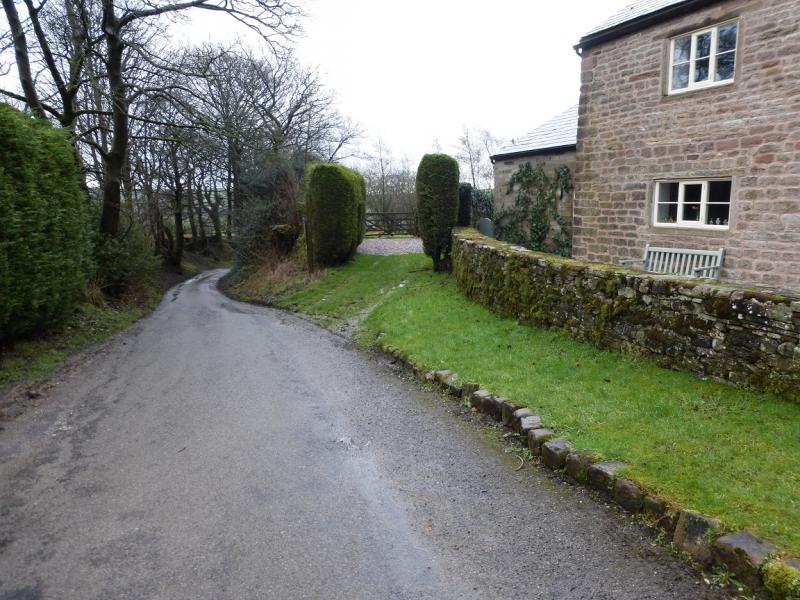
(2) Descend down the path on the grassy E ridge to join the road just before Lidgate. Continue a little further on the road to a footpath sign, on the right, by Lidgate Farm. Follow this path, roughly S, to reach a stone stile to cross the wall on the right then go diagonally across the next field to a stile then downhill, S, to another stile where the route (hardly any path) goes right, W, across the top of a field to Bradshaw Hall Farm. This is not the obvious building seen for much of the descent – that is Roeside Farm. Go down the lane on the left of Bradshaw Hall farm; the lane leads down to the B5470 by the Hanging Gate pub. Cross over and follow the minor road back to Combs village. Do not be tempted to take any paths on the right as none of them lead back to Combs.
Notes
(a) This walk took place on 8th February, 2016.
Photos - Hover over photo for caption. Click on to enlarge. Click on again to reduce.