Get Lost Mountaineering
You are here: England » North Yorks Moors & Coast
Robin Hood's Bay Circular Walk
Robin Hood's Bay Circular Walk
Start/Finish
Any car park in Robin Hood's Bay. These are all at the top of the village and are free during winter months.
Distance/Time
12 km About 4 – 5 hours
Peaks
No peaks as this is essentially an edge walk but there are many “ups and downs”.
OL 27, 1:25 000, North Yorks Moors Eastern Area.
Introduction
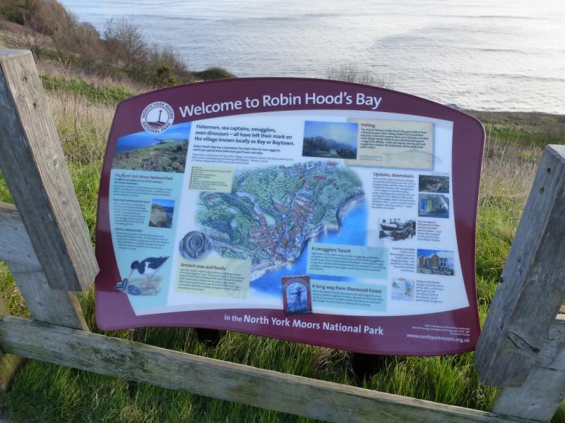
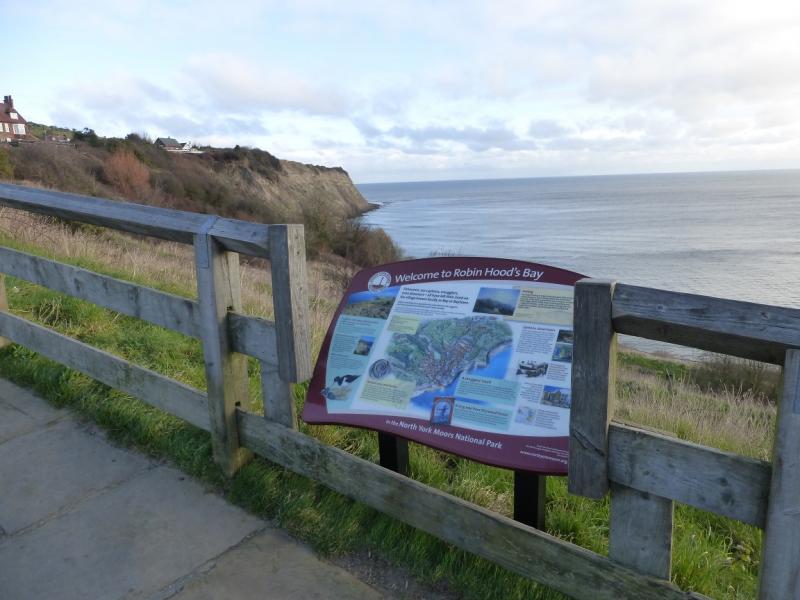
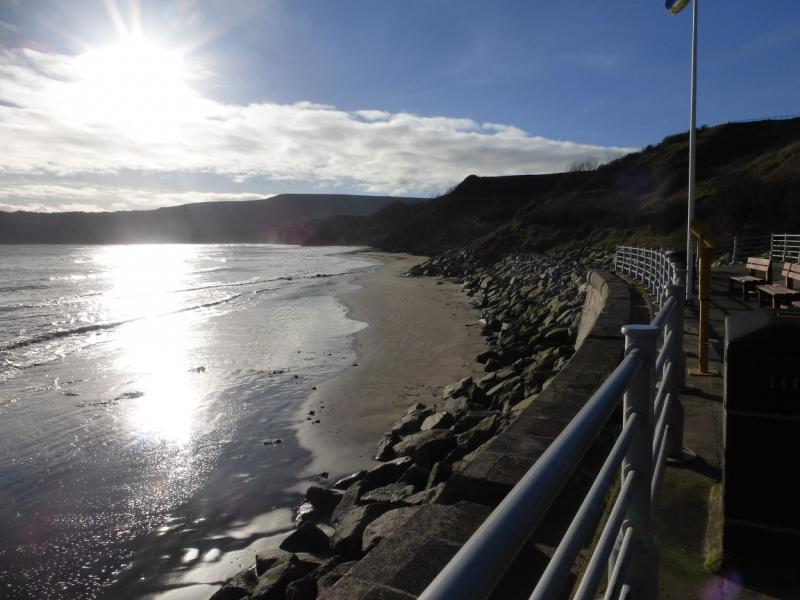
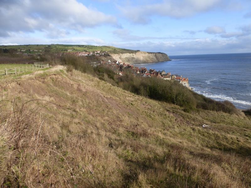
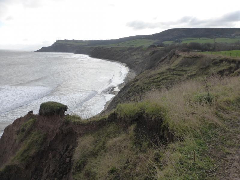
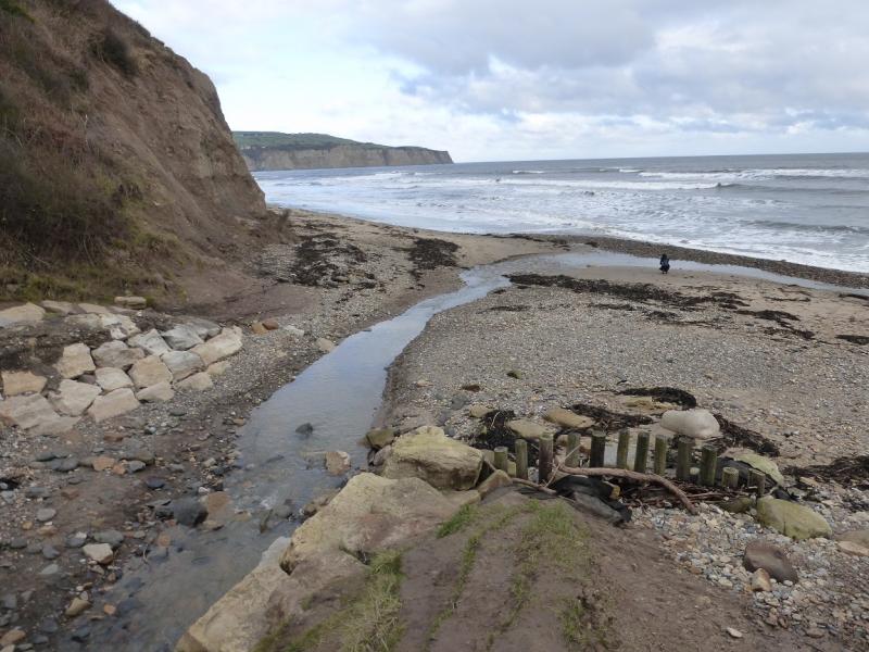
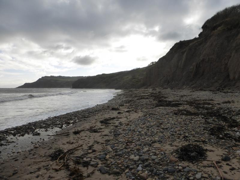
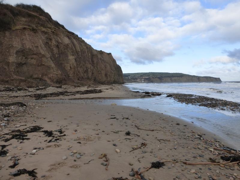
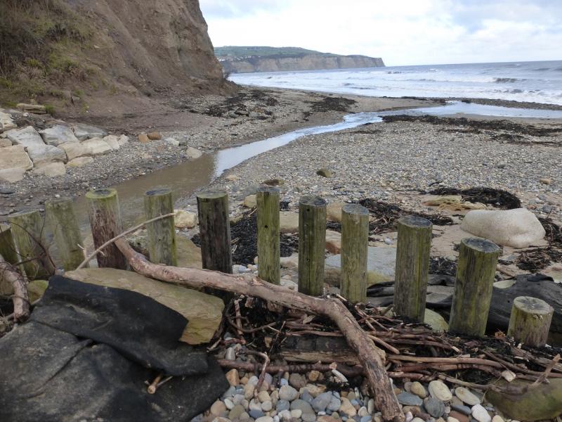
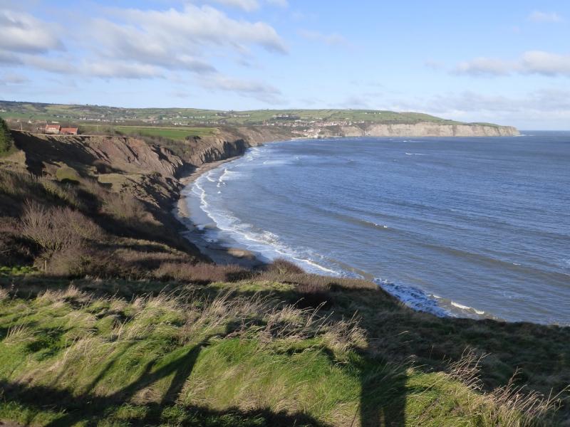
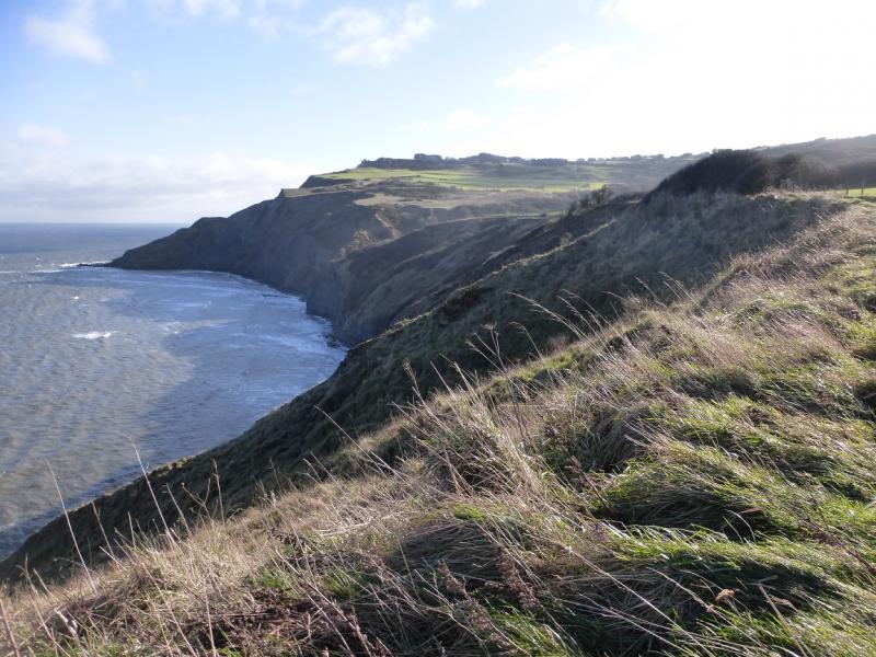
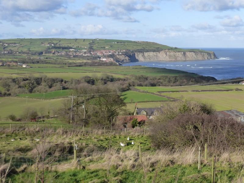
The North Yorkshire Coast is dramatic with many cliffs and rocky beaches. Unfortunately, it is eroding rather quickly as the exposed rock is very soft and crumbly. The Cleveland Way runs along much of the coast and this route uses much of it. Navigation is relatively straightforward. There are signs much of the way but there are a few places where some are needed especially at the bottom of the hill in Robin Hood's Bay. There are some quite deep descents over streams but all are stepped. Robin Hood's Bay can be very busy in the summer. It is famous for, amongst other things, being one end of Wainwright's Coast to Coast Walk.
Route
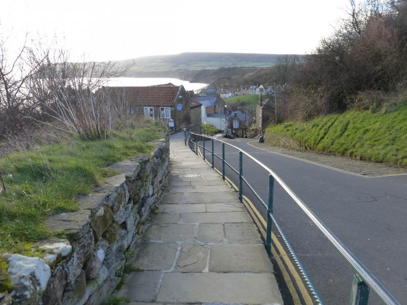
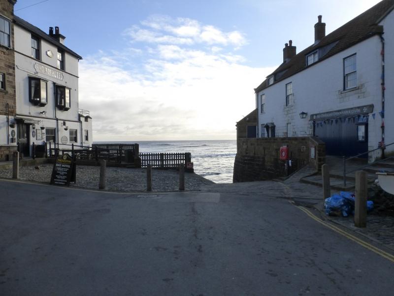
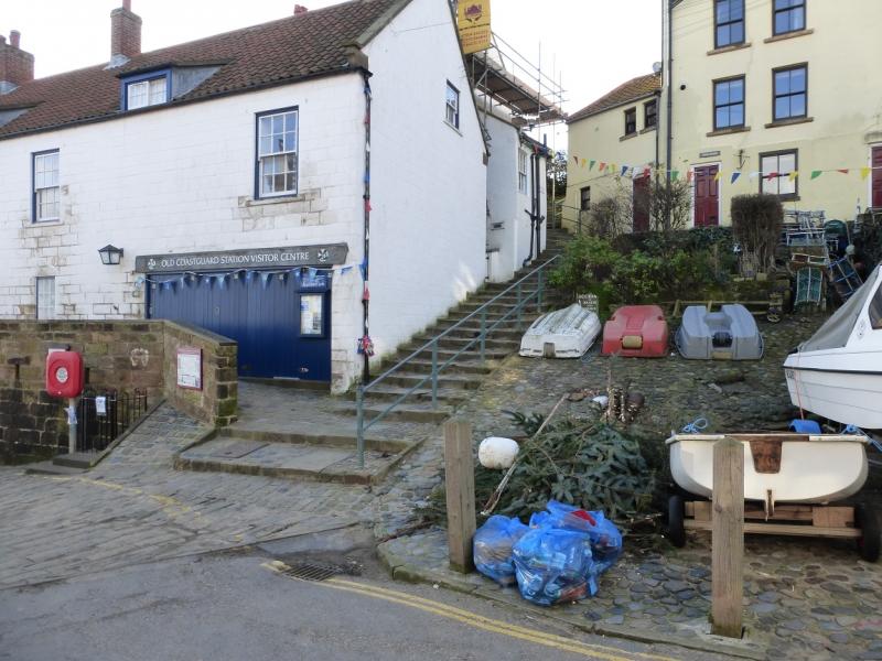
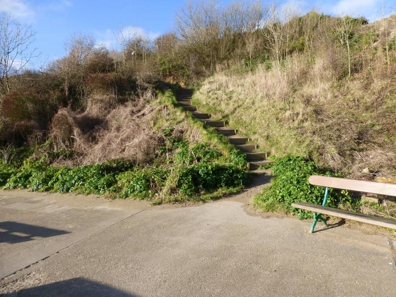
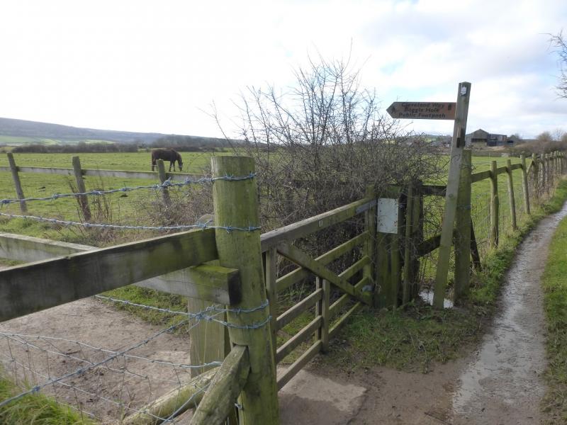
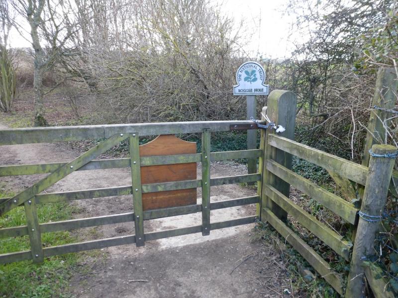
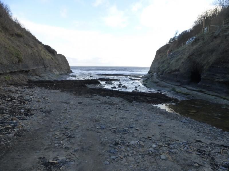
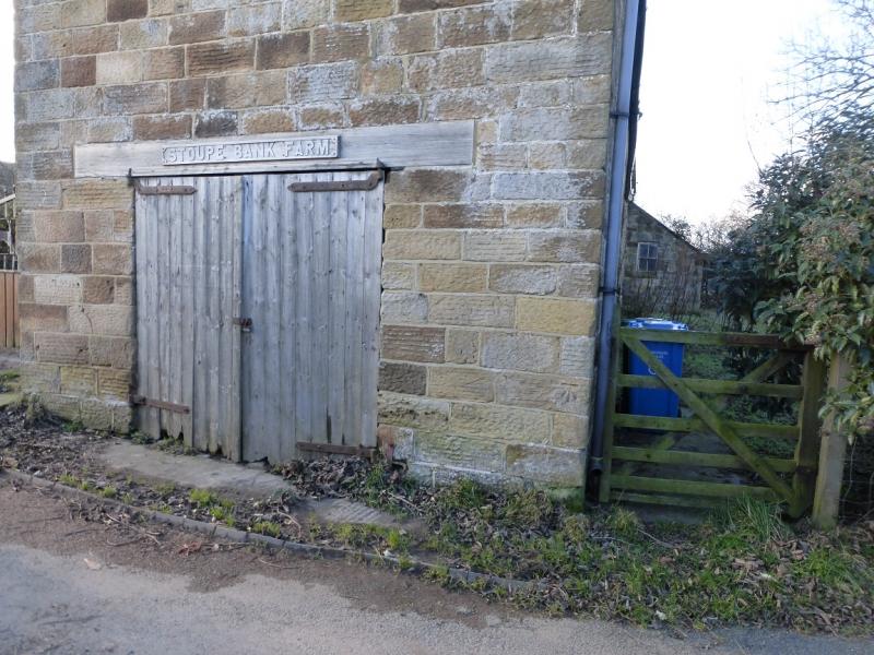
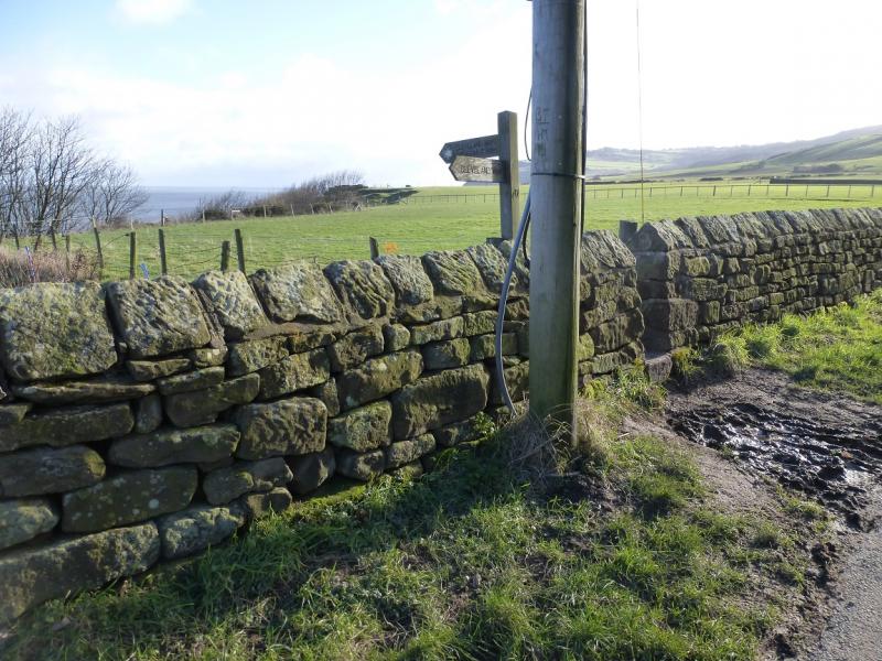
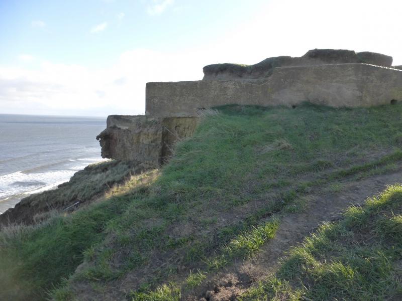
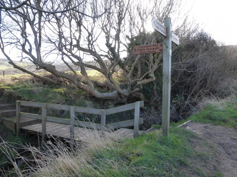
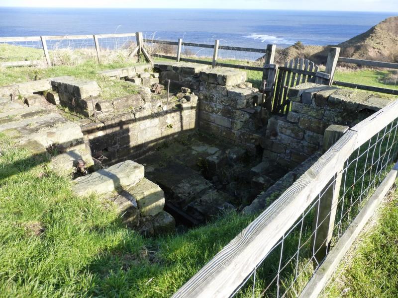
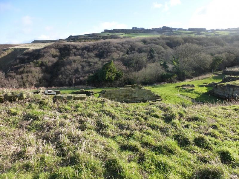
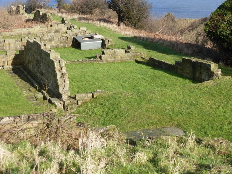
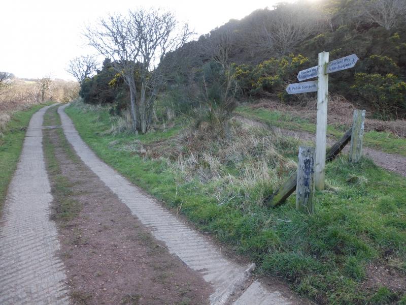
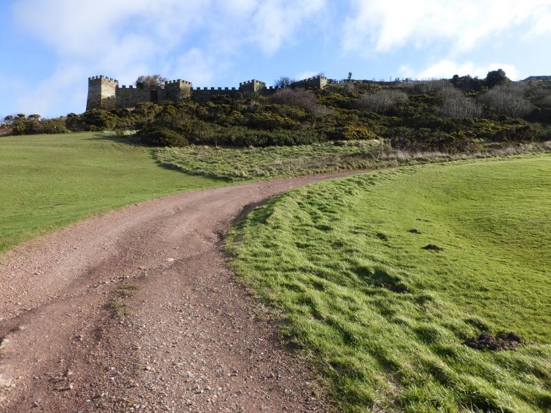
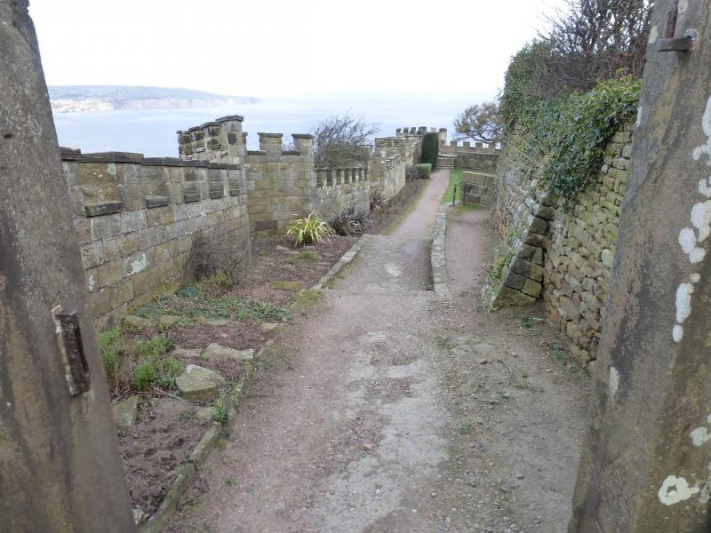
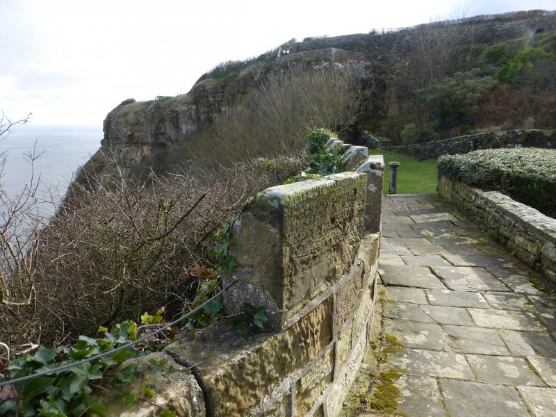
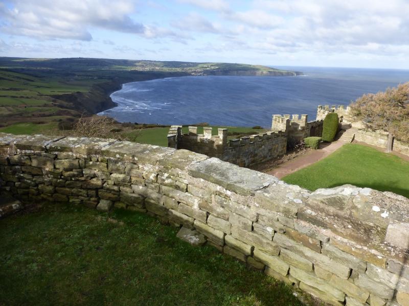
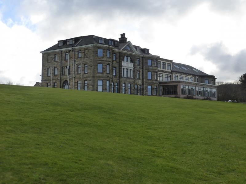
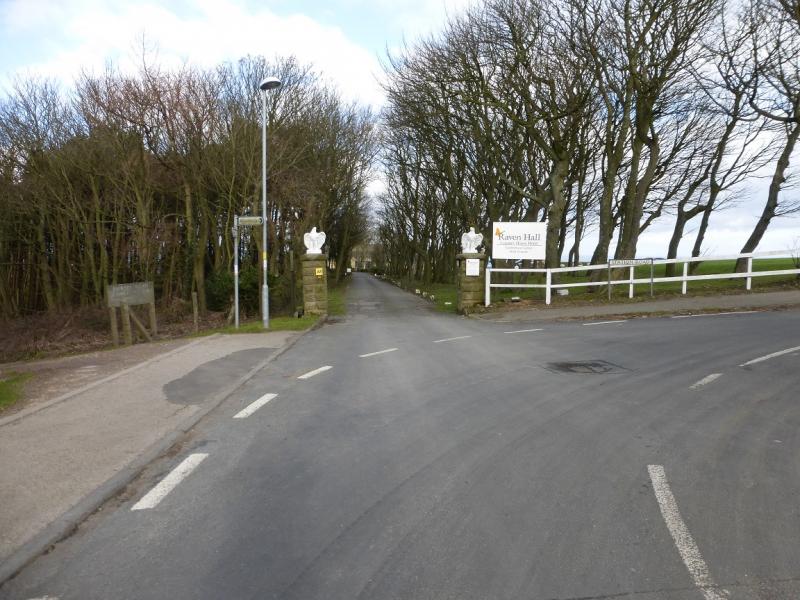
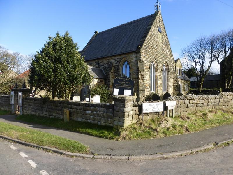
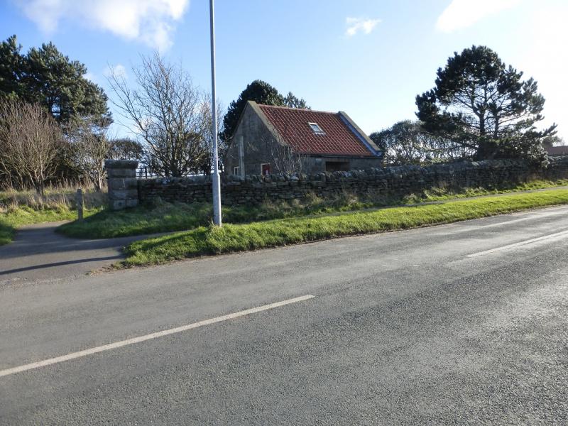
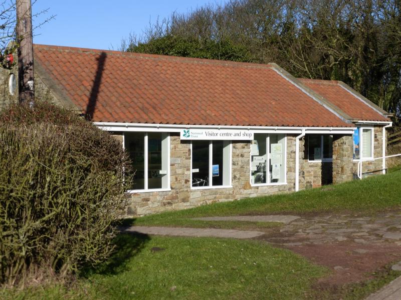
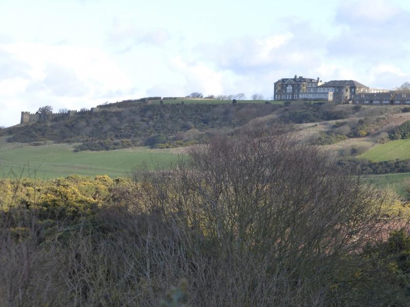
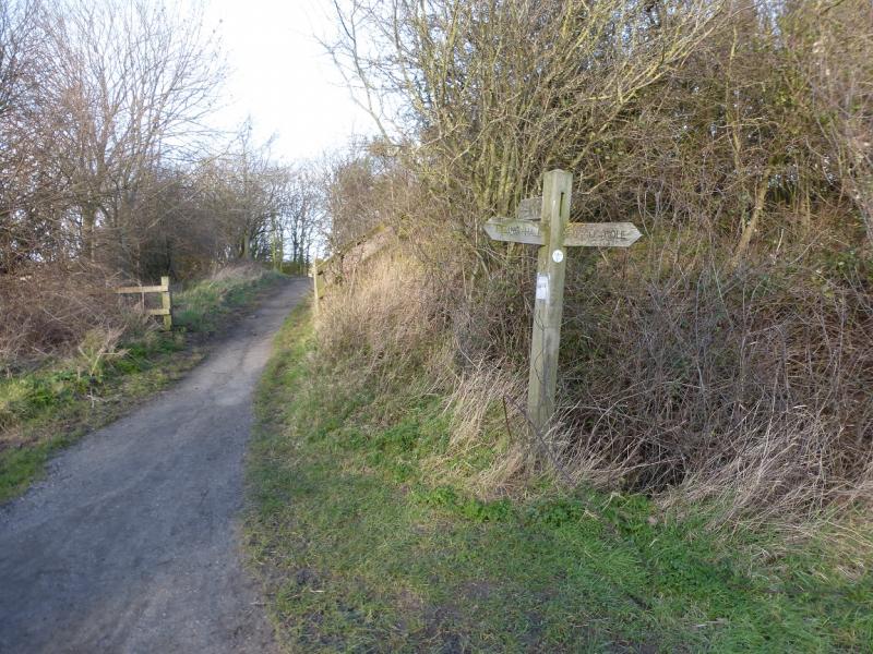
(1) Walk down the road to the slipway at the bottom. Go right here, up some steps then down on to a “patio”. Immediately ascend the steps on the right; this is the Cleveland Way. Follow this up and walk along the top of the cliffs until the sign for Boggle Hole is reached. Descend the many steps to the Youth Hostel (sometimes its cafe is open) then ascend the other side. Continue and soon make a similar descent to Stoupe Beck Sands followed by another climb out to Stoupe Bank Farm. Follow the track but the Cleveland Way soon goes left so look for the sign by a telegraph pole. Continue and eventually reach some scattered ruins which are the Old Alum Works. There are some information boards. Continue on the Cleveland Way to reach a track. Further on, the track splits with the Cleveland Way forking right but this route goes left, staying on the concrete track. Follow this which, later, goes up the side of a golf course below what looks like the battlements of a castle. Eventually reach the top road by the entrance to the Ravenhall Hotel. Go into the grounds and around to the left of the hotel. A path leads into the “castle” which is actually just a garden with walls resembling battlements. There are some superb viewpoints for Robin Hood's Bay and a kind of circular path before one retraces out of the hotel grounds. Continue up the road with the seasonal visitor centre immediately below on the right; toilets are a little further on the left.
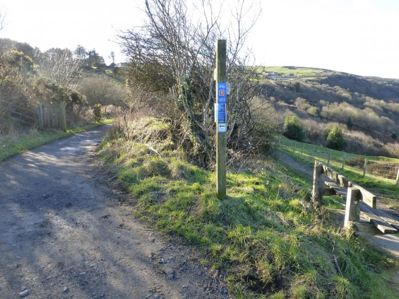
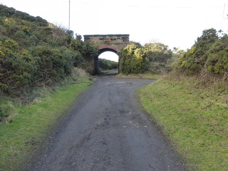
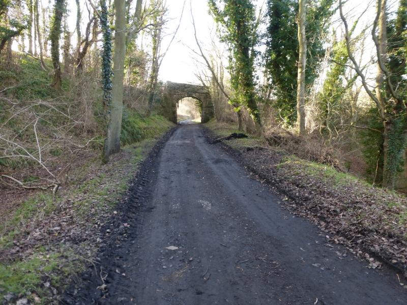
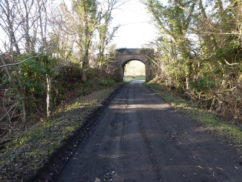
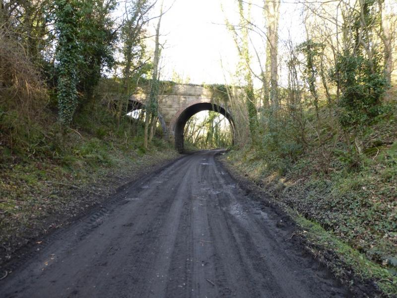
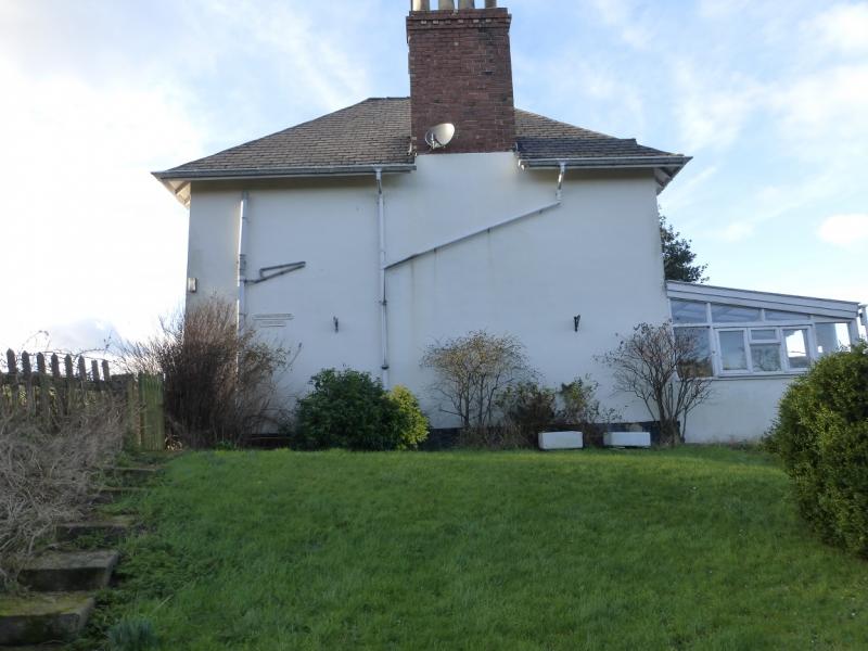
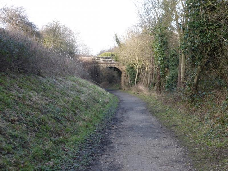
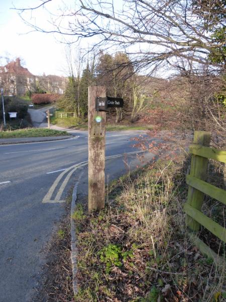
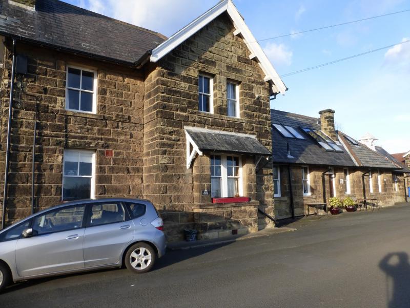
(2) Take the track past the visitor centre. Before too long it splits. The right fork is the Cleveland Way but this route takes the left fork which is the track bed of a dismantled railway known as The Cinder Track as the sleepers were laid on cinders rather than the usual stone ballast. Follow the almost level Cinder Track for about 7 km to reach the old station above Robin Hood's Bay. On the way, several bridges are gone under and two roads are crossed. The first road (for Stoupe Bank Farm) used to have a bridge across it but this was removed many years ago and replaced by steps. The second road is for Boggle Hole. The old Fylinghall Stationmaster's House is also passed.
Notes
(a) This walk took place on 3rd February, 2016.
Photos - Hover over photo for caption. Click on to enlarge. Click on again to reduce.