Get Lost Mountaineering
You are here: England » North Yorks Moors & Coast
Stony Marl Moor, Ravenscar, Robin Hood's Bay to Whitby
Stony Marl Moor, Ravenscar, Robin Hood's Bay to Whitby
Start/Finish
Car park, not signed, on top Stony Marl Moor Road, A171main road from Whitby to Scarborough, at NZ 945 003. The finish is at Whitby. For those without two cars or a friend to drop them off, it is possible to take the bus from Whitby (bound for Scarborough) and be dropped off at the entrance to “The Ranch” just to the south of the Flask Inn. It is then about 400 m to the start of the path opposite the car park. This route assumes the bus is used.
Distance/Time
20 km About 5 – 6 hours
Peaks
No peaks as this is essentially an edge walk but there are many “ups and downs”.
OL 27, 1:25 000, North Yorks Moors Eastern Area.
Introduction
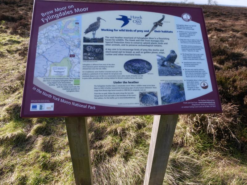
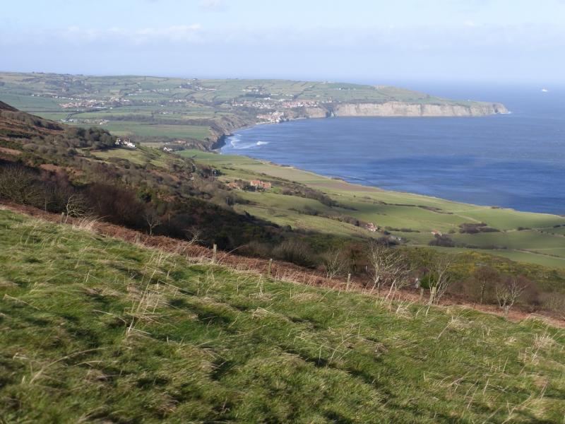
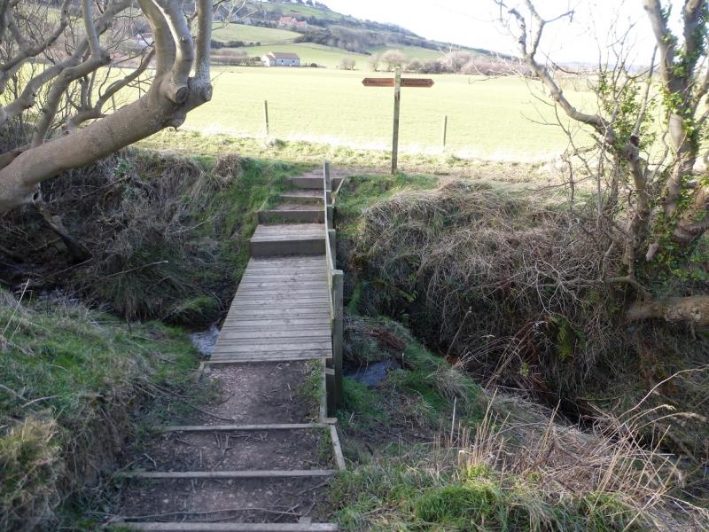
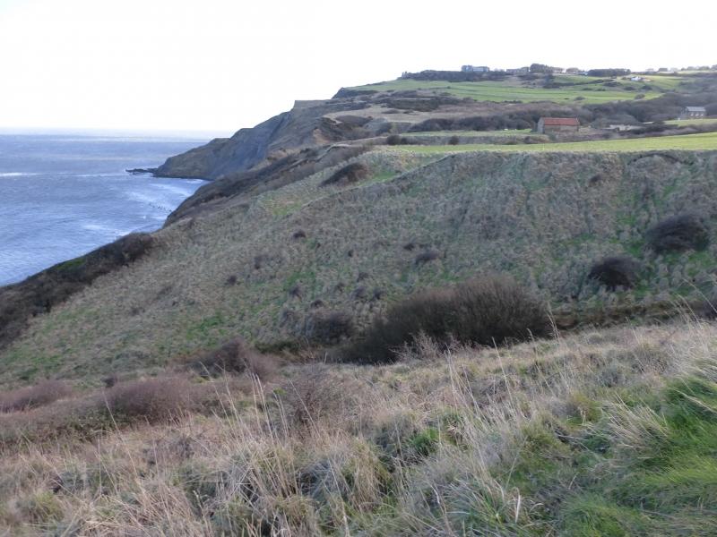
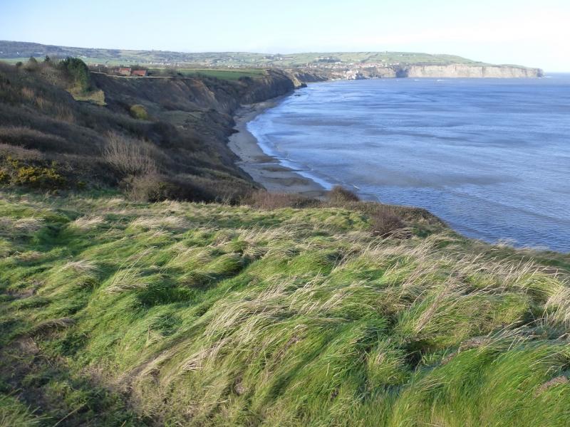
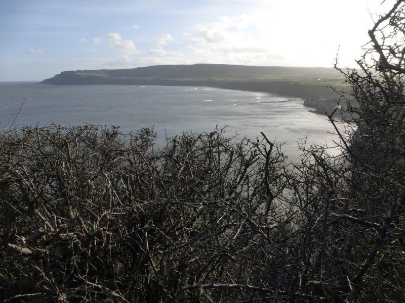
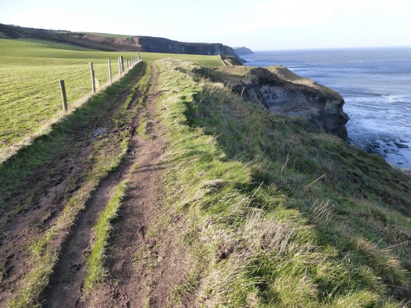
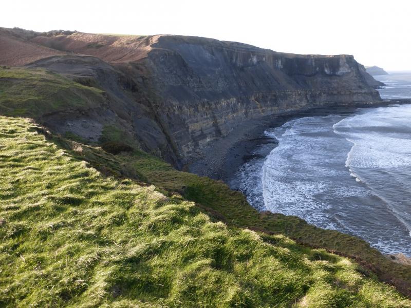
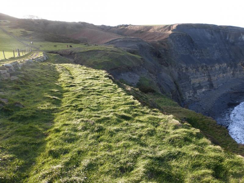
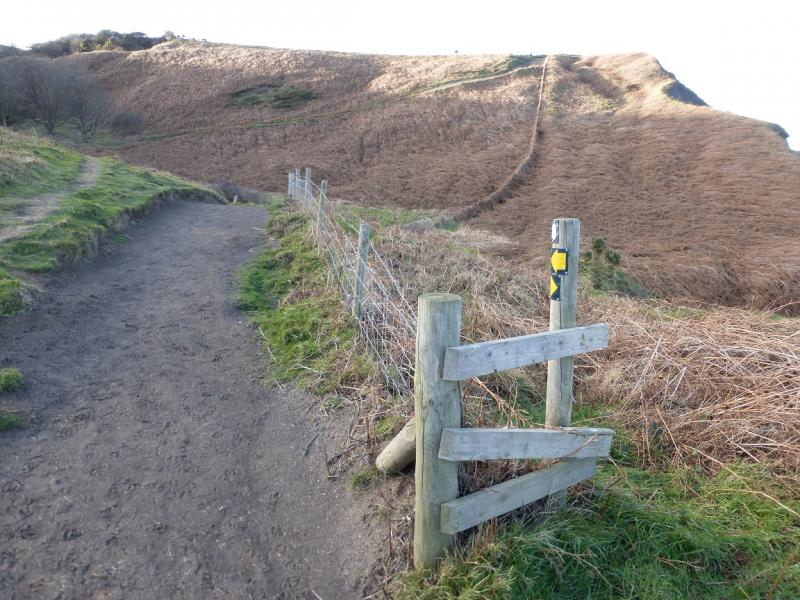
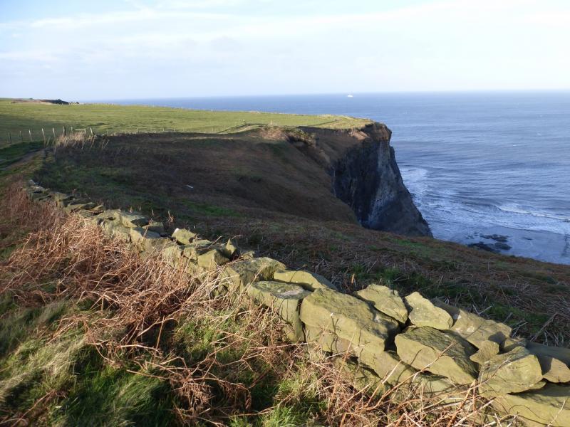
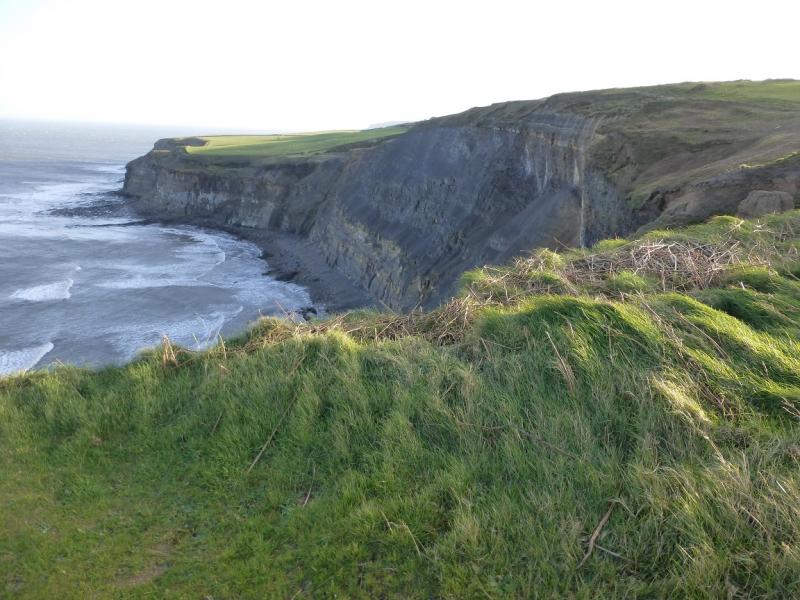
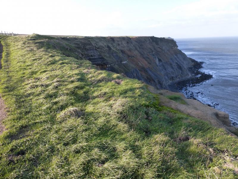
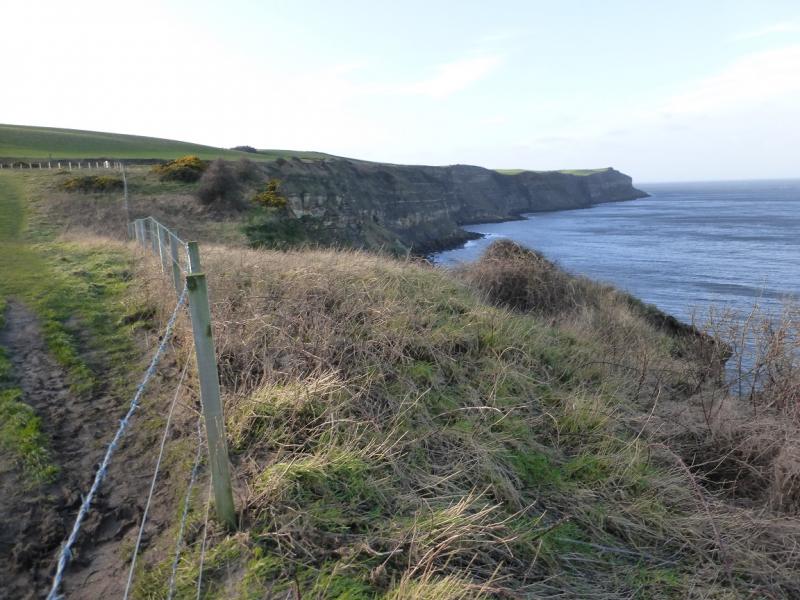
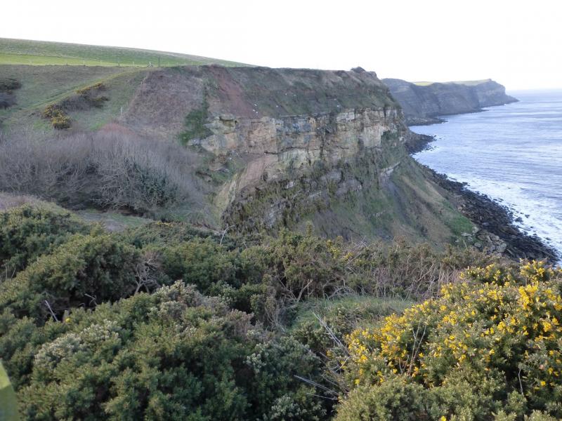
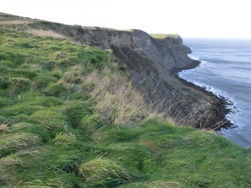
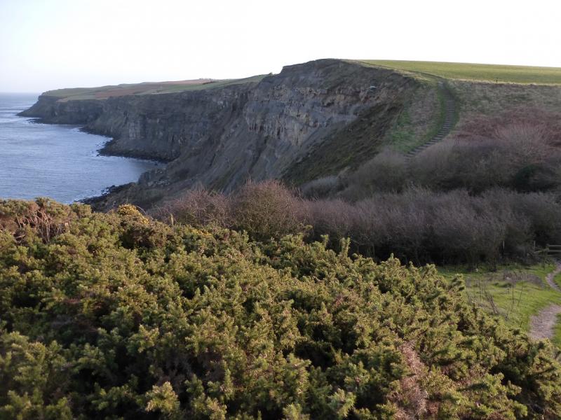
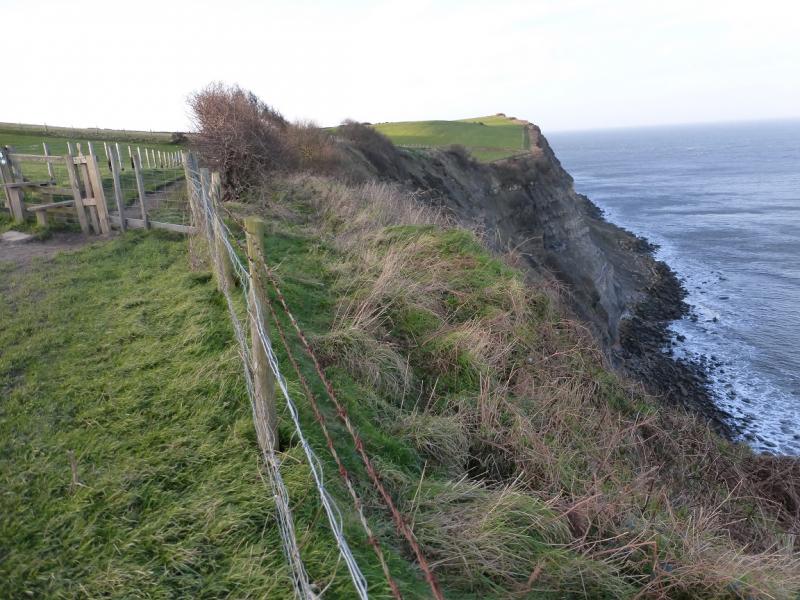
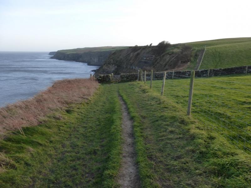
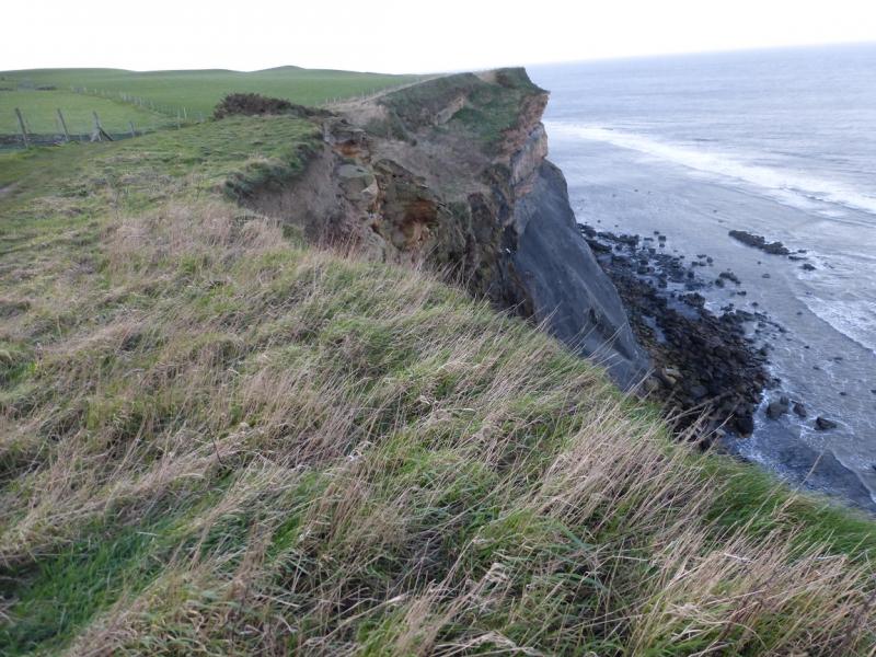
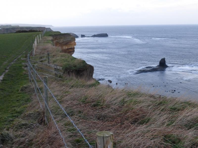
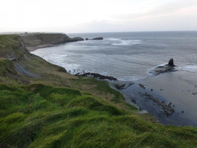
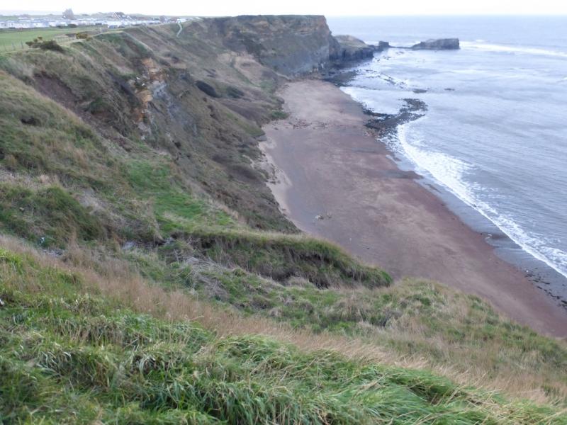
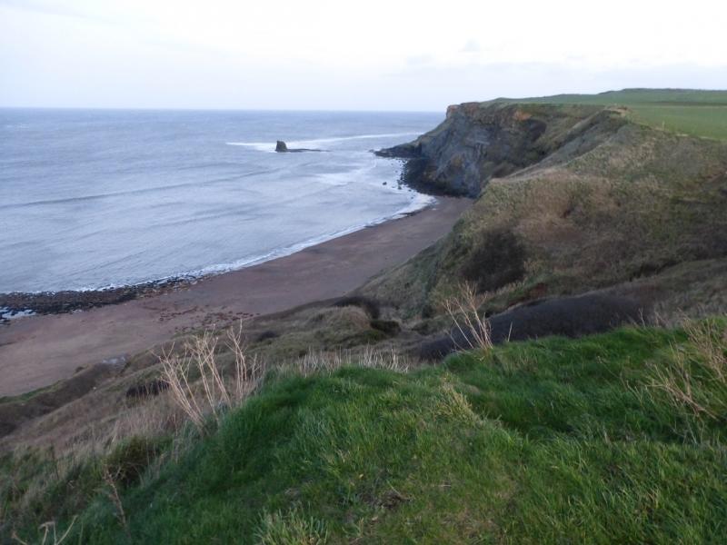
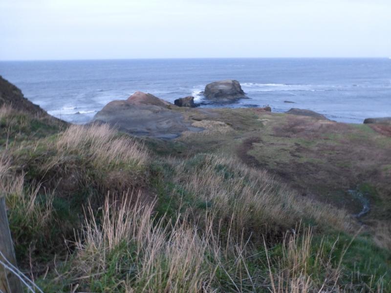
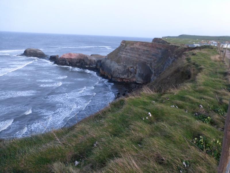
The North Yorkshire Coast is dramatic with many cliffs and rocky beaches. Unfortunately, it is eroding rather quickly as the exposed rock is very soft and crumbly. The Cleveland Way runs along much of the coast and this route uses much of it. Navigation is relatively straightforward once the Cleveland Way is joined (keep the sea on your right!!). There are signs much of the way but there are a few places where some are needed especially at the bottom of the hill in Robin Hood's Bay. There are some quite deep descents over streams but all are stepped.
Route
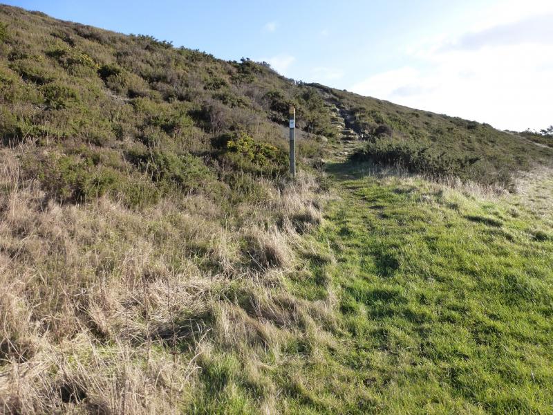
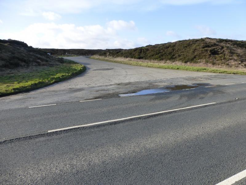
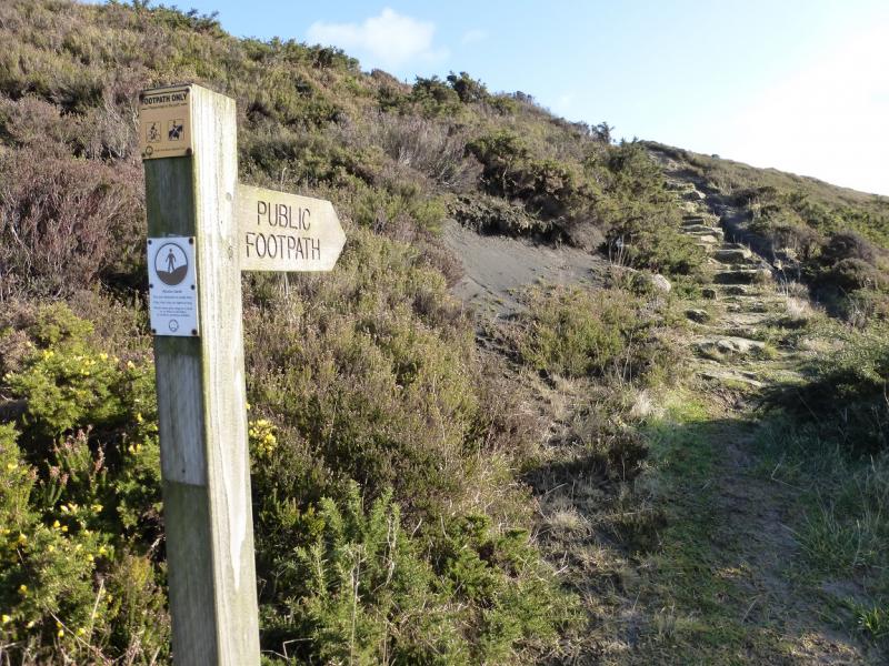
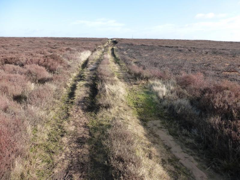
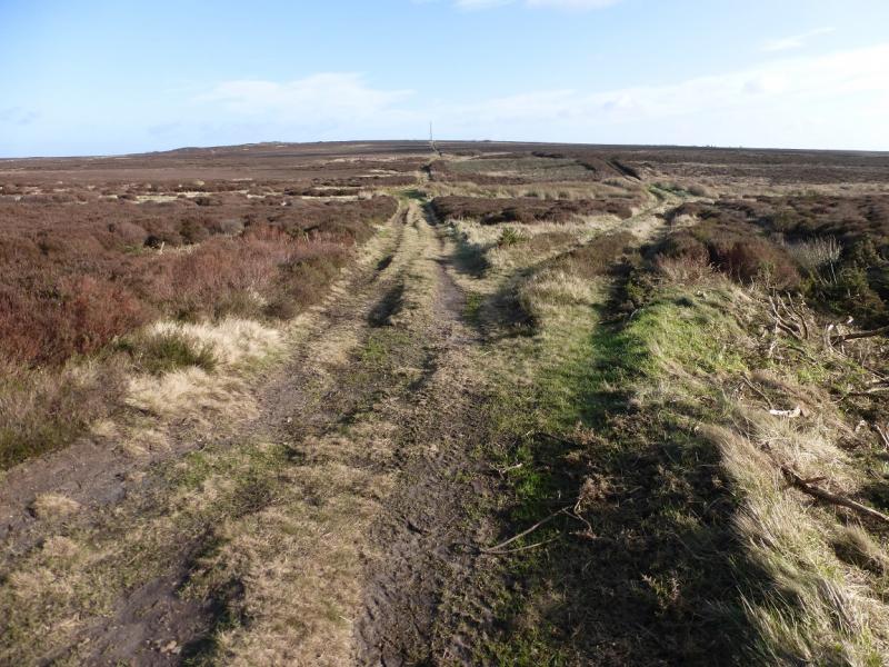
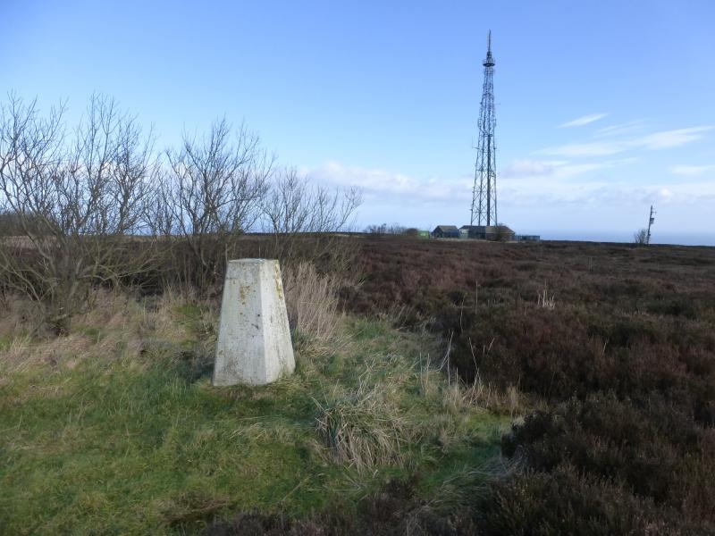
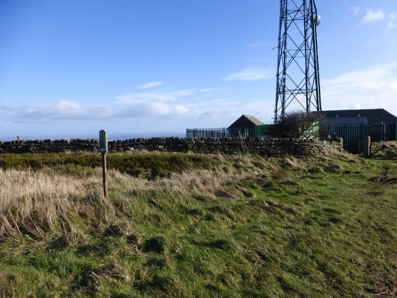
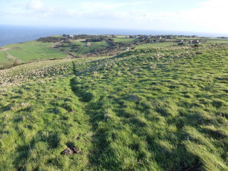
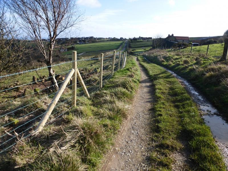
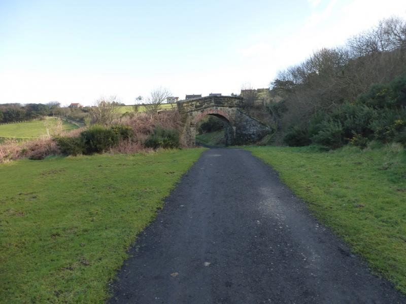
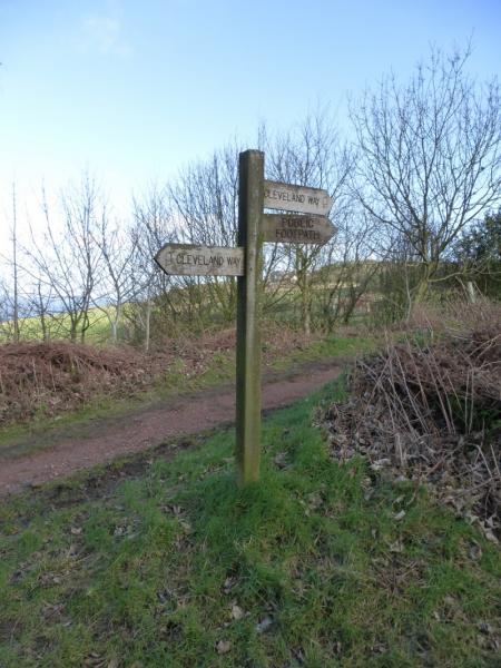
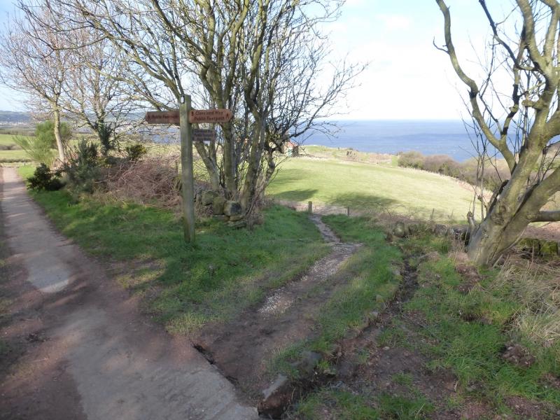
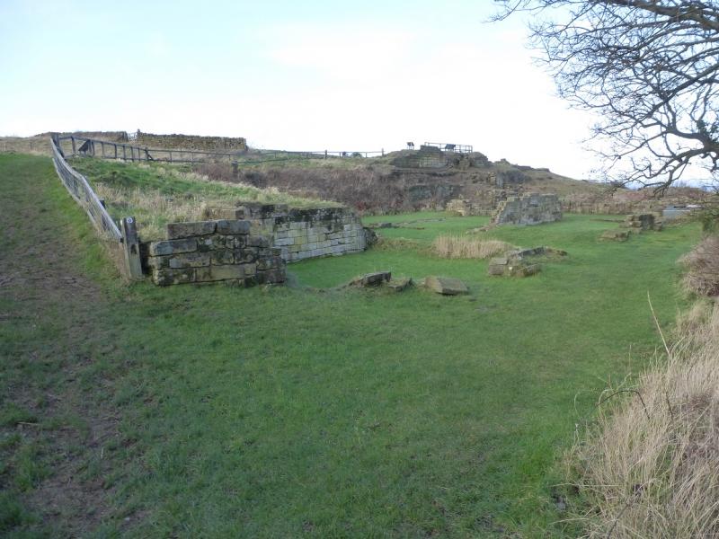
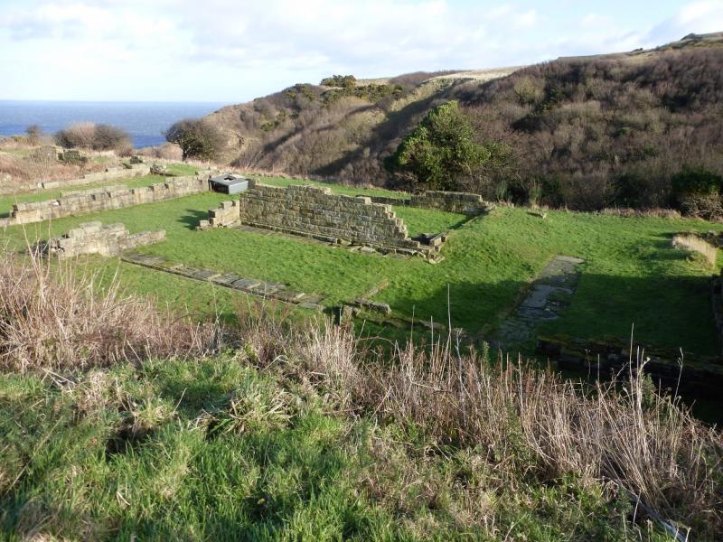
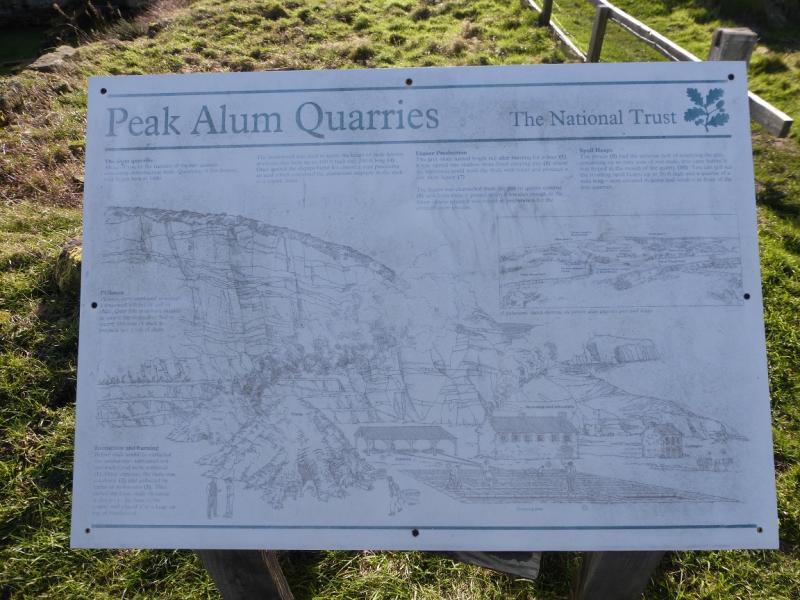
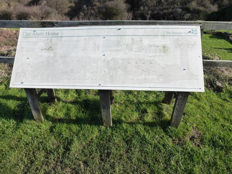
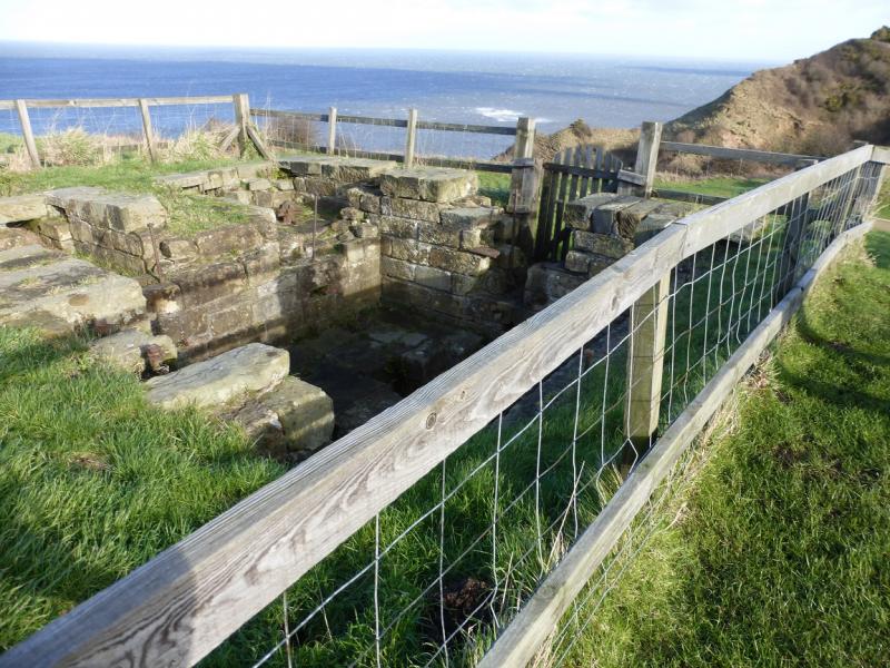
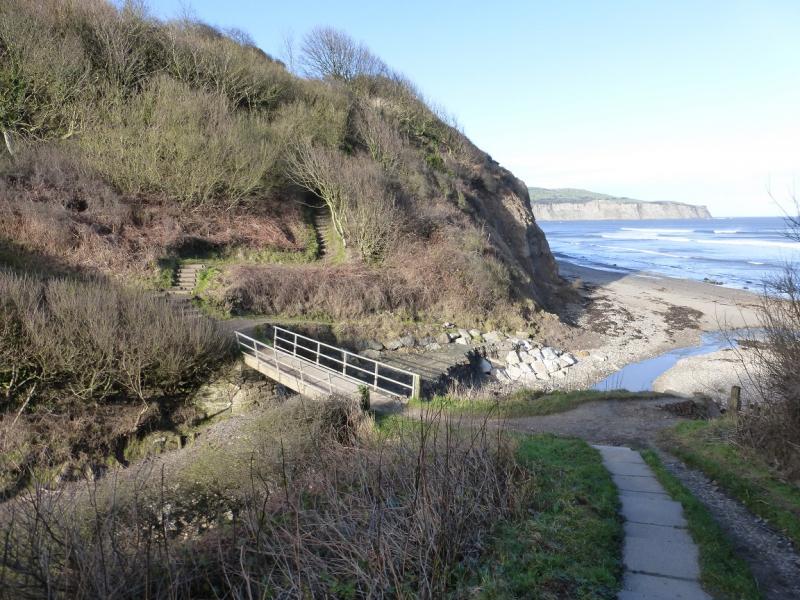
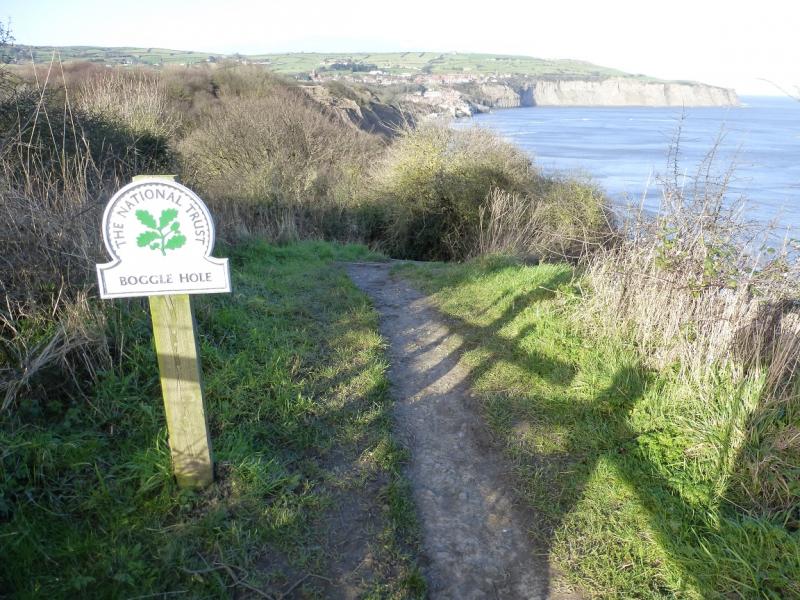
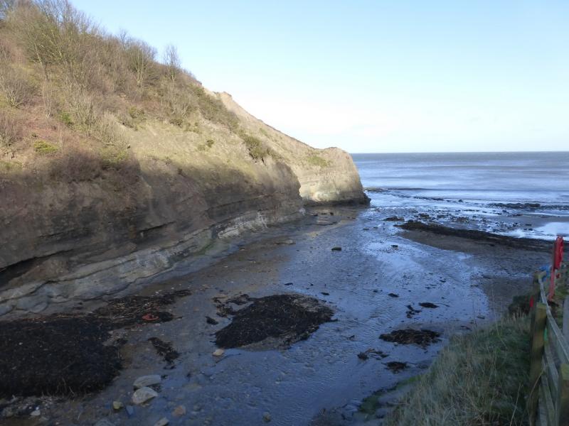
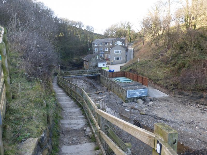
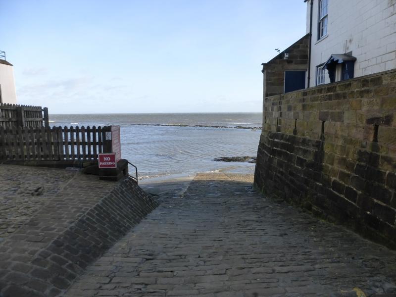
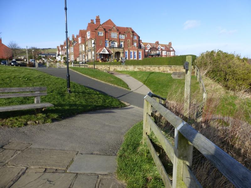
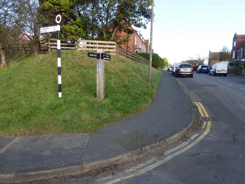
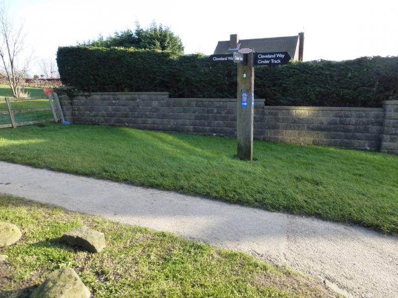
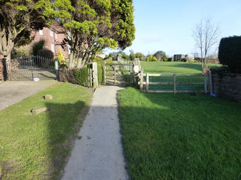
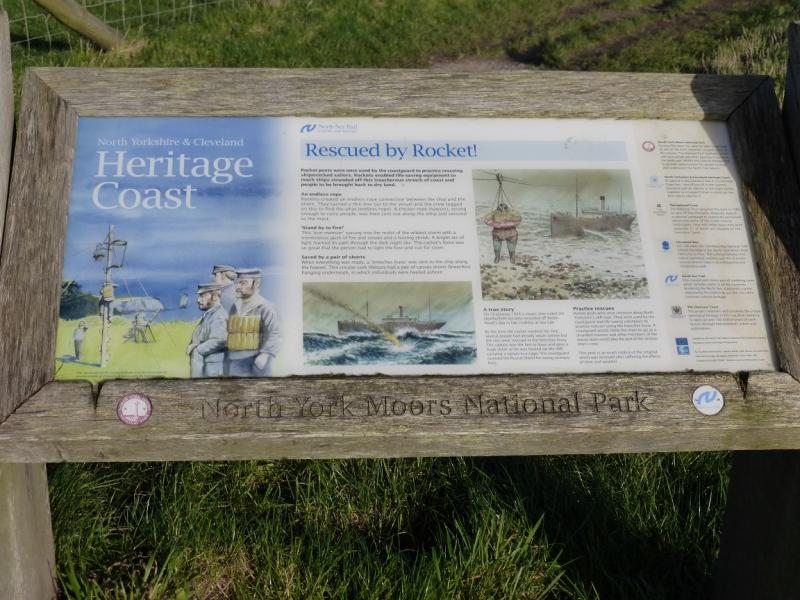
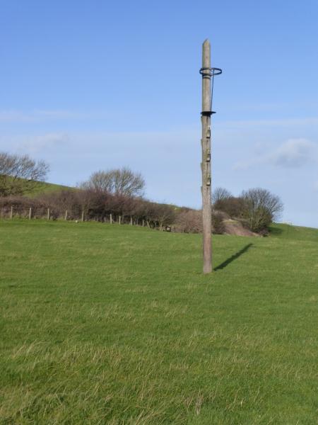
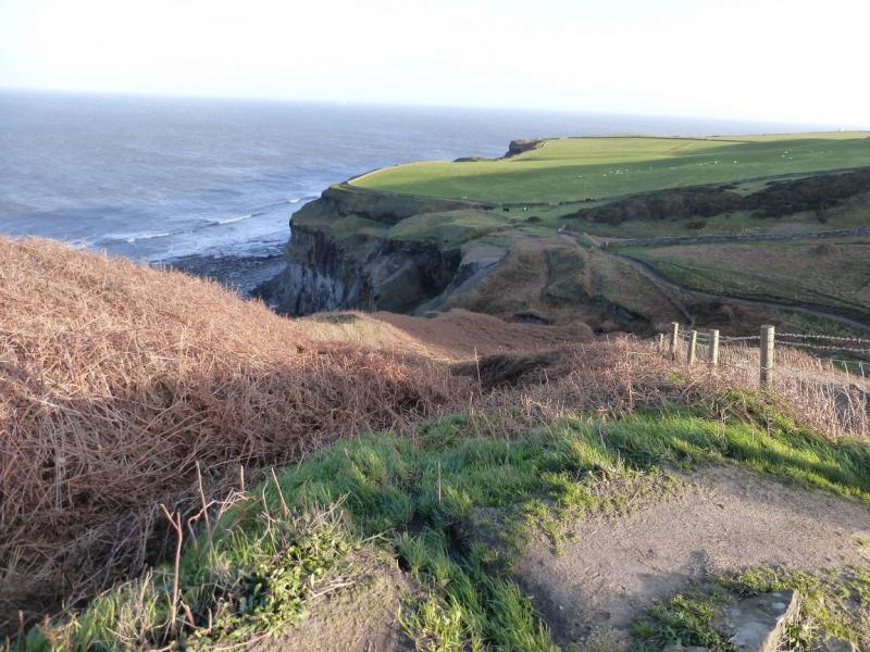
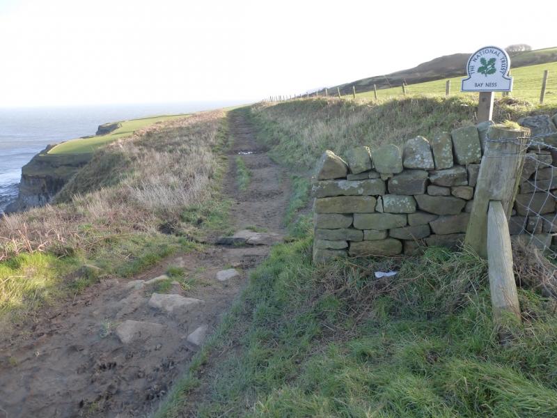
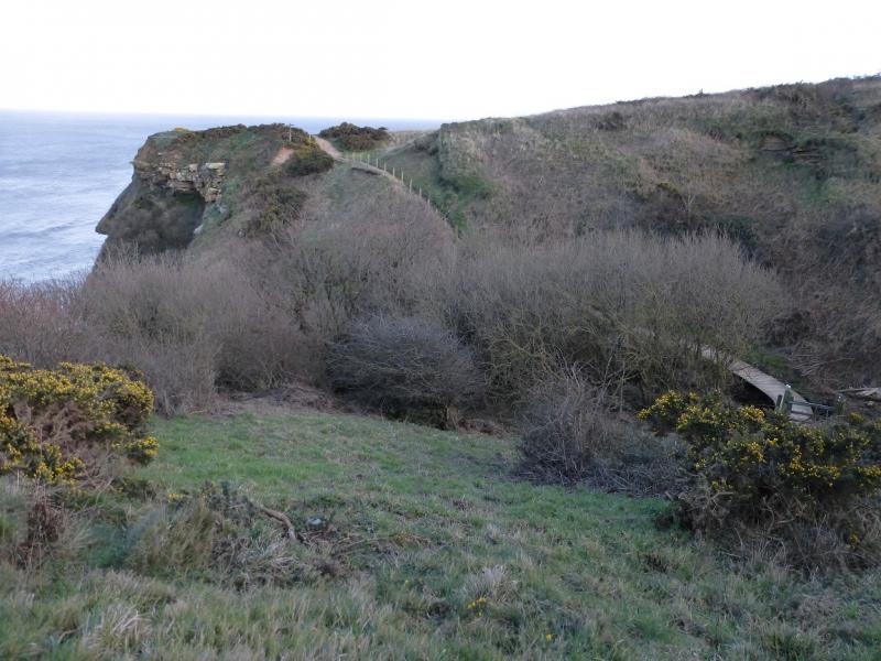
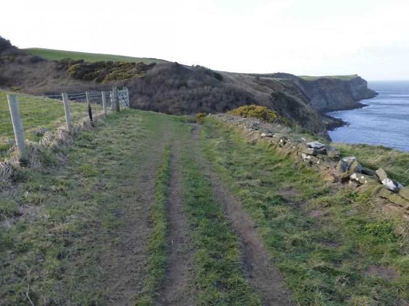
(1) Catch the bus to the start then walk up the road to the “car park” on the right. Opposite is a sign and steps for the start of the walk across Stoney Marl Moor which has little gradient. Follow the good path which merges with two tracks and, after about 3 km, reaches a trig point, information board and mast with a road crossing just before the mast. Take the path N (signed) and follow it for about 200 m to a gate where it goes right and descends to a track. It can be awkward from here. There is a fenced off area below with a stile into it. Go this way, heading roughly E until just before a house where it is possible to pick a way down steep slopes to the old railway track bed below known as The Cinder Track where one turns right to reach an old railway bridge then go sharp left to join the Cleveland Way which has just crossed this bridge. This descent can be quite overgrown in summer in which case it is probably best to stay on the track going right, ESE, to reach a road. Turn left, NNE, past Church Farm then continue to the Visitor Centre which is on the left just before the entrance to Ravenhall Hotel at the bottom of the road. The Cleveland Way starts here. Follow the Cleveland Way to reach some ruins which are the Old Alum Works. Then continue on the wide grassy path. Unfortunately, there are few signs on this section so stick to the main path if there is no sign. Eventually reach Boggle Hole which is a gorge into the sea with a Youth Hostel by the bridge. Continue on the obvious path which leads into Robin Hood's Bay village at sea level. There is a slipway which is where the main road runs into the sea!
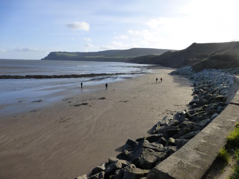
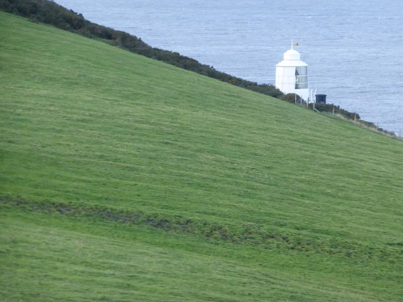
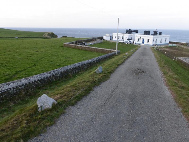
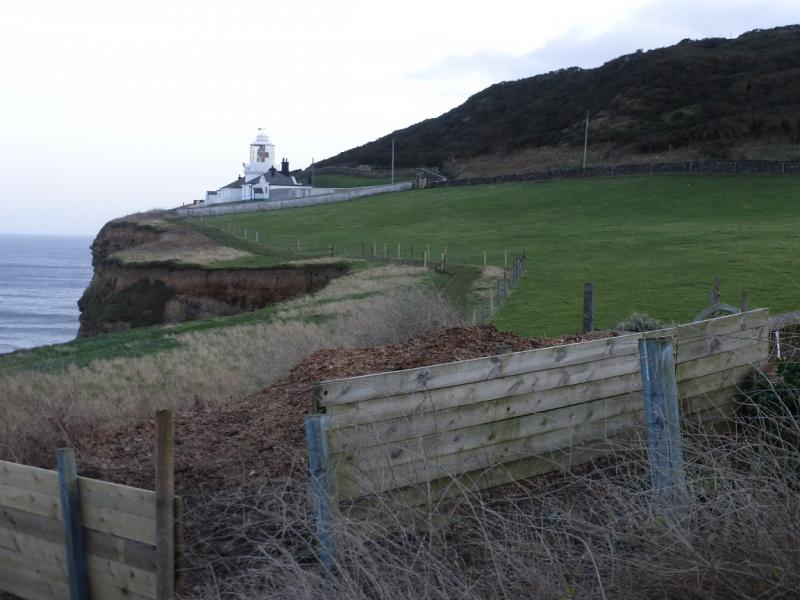
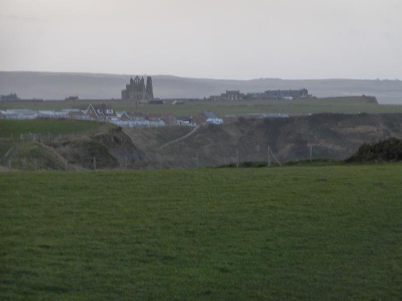
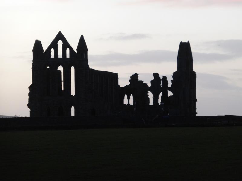
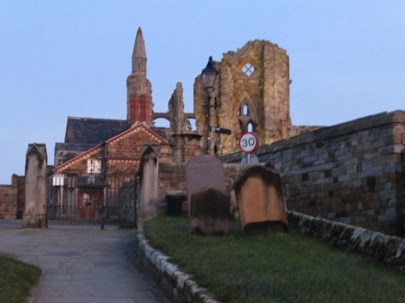
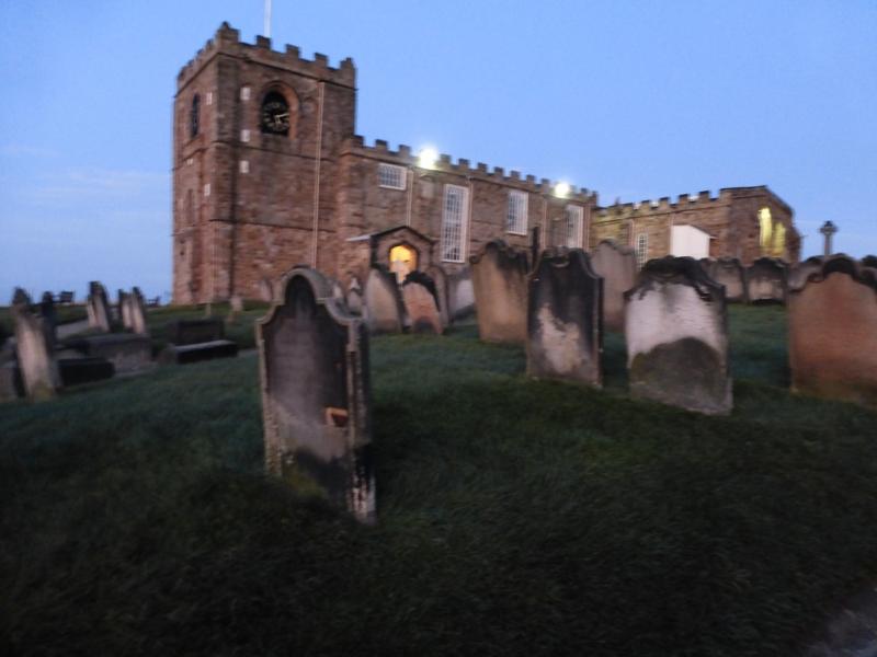
(2) There are no helpful signs near the slipway so walk up the steep road from the slipway. Follow the road for some distance, past the large Victoria Hotel. Keep going until the old station is reached on the left. On the right is a street signed for the Cleveland Way. Follow this to its end where the path takes over. The path is very easy to follow past Bay Ness and Oakham Wood. Further on, there are two gates in quick succession. After the second, an arrow says go left. Ignore this and continue on the wide path which leads down to a lighthouse then on behind the Whitby Fog Signal which is a large fog horn on top of a cottage. Continue to above Saltwick Bay where one has to walk through a mobile home park. The abbey should now be visible. Continue on the path to the abbey then turn right for the church below and descend the steps to reach a cobbled road. Turn left and follow the road to reach a tarmac road. Turn right and soon cross the swing bridge and reach Whitby. Turn left if heading towards the railway station.
Notes
(a) This walk took place on 2nd February, 2016, in the aftermath of Storm Henry which was still gusting gale force and offshore – not the best direction with cliffs on that side! If one is contemplating this route in such conditions then consider, very carefully, if it is safe to do so. On this day, the wind would have picked up small children. There are also some sections of path with an unprotected edge although the path itself is quite wide and there is no need to be on the actual edge.
Photos - Hover over photo for caption. Click on to enlarge. Click on again to reduce.