Get Lost Mountaineering
You are here: England » North Yorks Moors & Coast
Roseberry Topping & Captain Cook's Monument anti-clockwise from Percy Cross Rigg lane
Roseberry Topping & Captain Cook's Monument
anti-clockwise from Percy Cross Rigg lane
Start/Finish
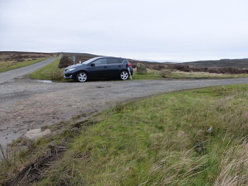
Start of track to Sleddale from near top of Percy Cross Rigg lane. This is at NZ 613 113 and about 2 miles from the start of the lane which leaves the minor road between Kildare and Commondale at a diamond crossroads. Parking is very limited but more is available further up the lane especially at its end. As this section of lane is walked anyway, nothing is lost by parking further up the lane. The post code YO21 2SD should take one about halfway up Percy Cross Rigg lane.
Distance/Time
13km About 4 – 5 hours
Peaks
Codhill Heights, 296 m, NZ 613 127.
Roseberry Topping, 320 m, NZ 579 126.
Captain Cook's Monument, 324 m, NZ 590 101.
OL 26, 1:25 000, North Yorks Moors Western Area.
Introduction
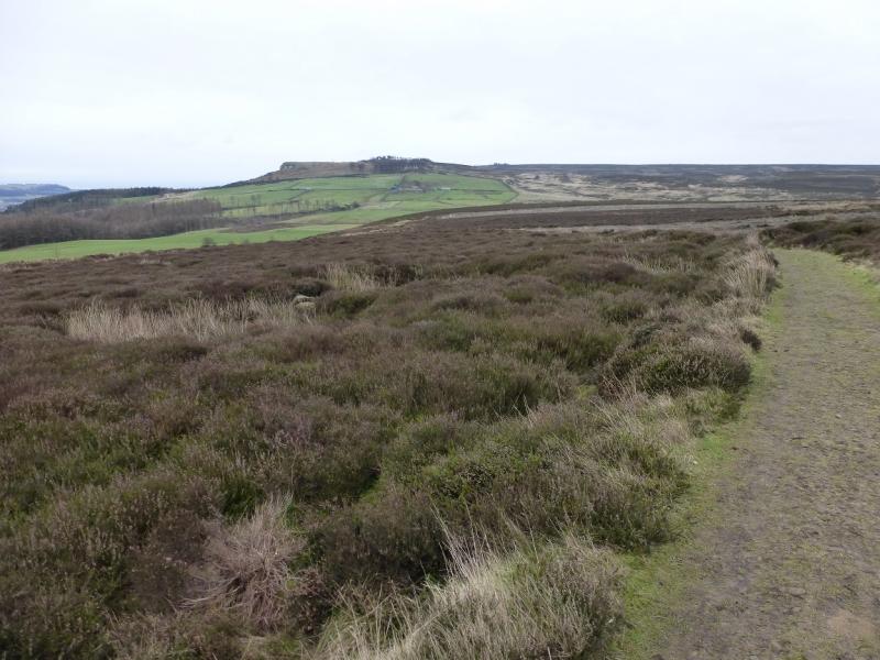
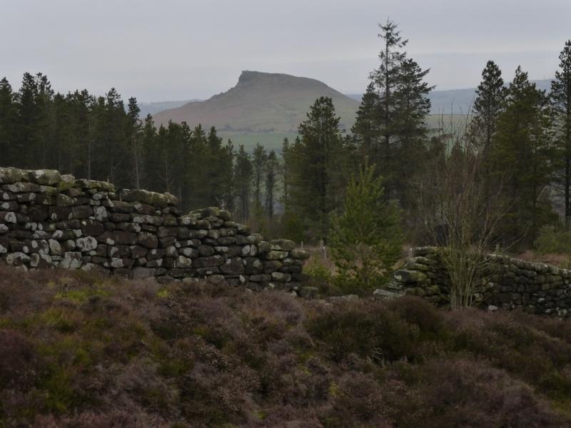
The North Yorkshire Moors covers a large area and is mainly moorland, ridges and a few distinctive peaks, none of which rise to even 400 m. Roseberry Topping is probably the most distinctive peak as it is not part of a ridge. It is well seen from the A172 near Stokesley as is Captain Cook's Monument. The ground under foot is often muddy but there are some well laid paths these days. There are six noticeable ascents on this route. This route is also uploaded as a clockwise route (although it is not 100% identical); the views of Roseberry Topping and Highcliff Nab are more pleasing on the clockwise route.
Route
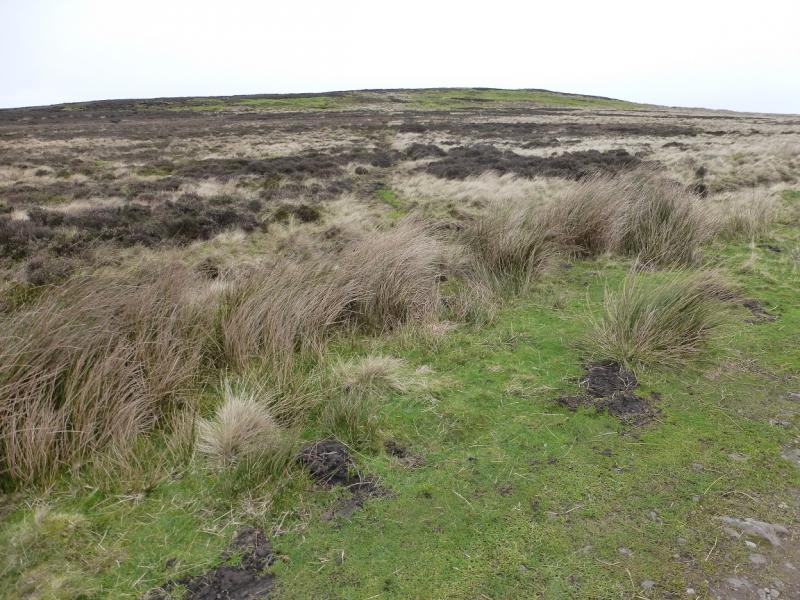
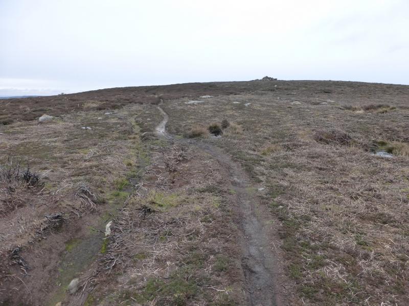
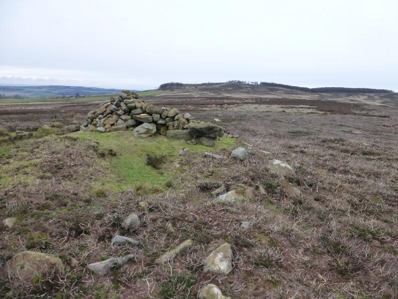
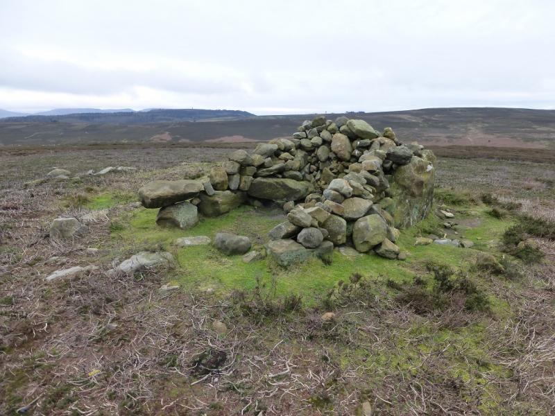
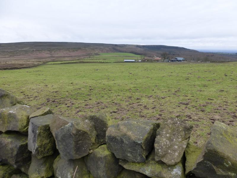
(1) From the T junction up Percy Cross Rigg lane, take the track which descends NE towards Sleddale. After the dog leg to the left and before Sleddale, look for a faint path going N up Codhill Heights. The path soon becomes more distinctive and can be followed to a medium cairn which marks the summit of Codhill Heights, 296 m.
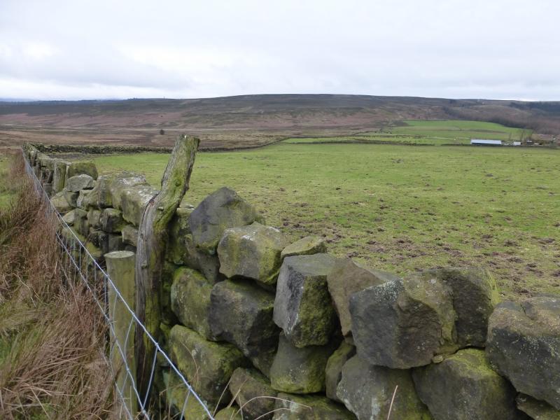
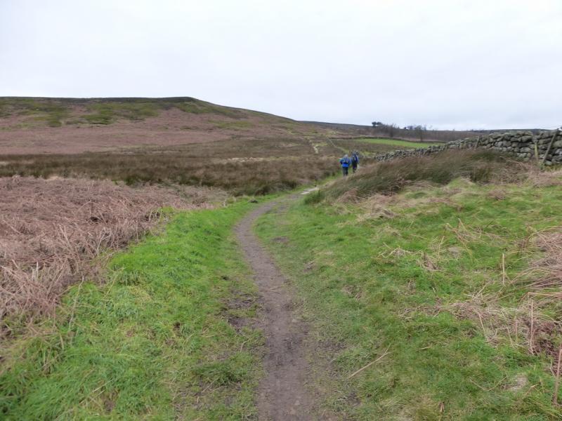
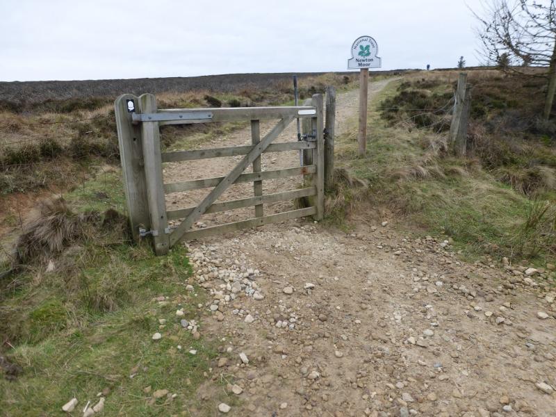
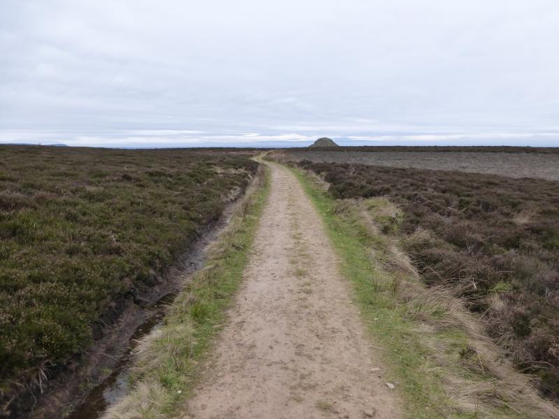
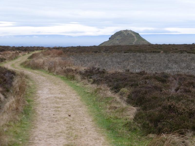
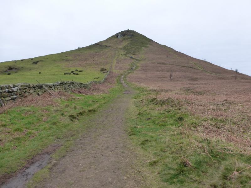
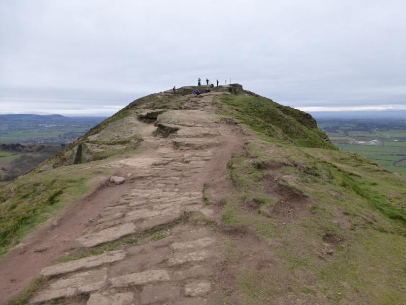
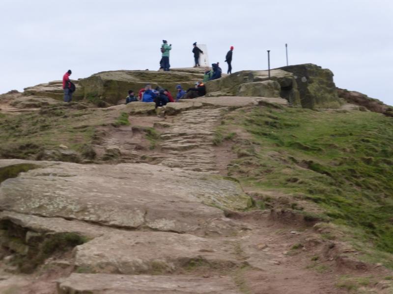
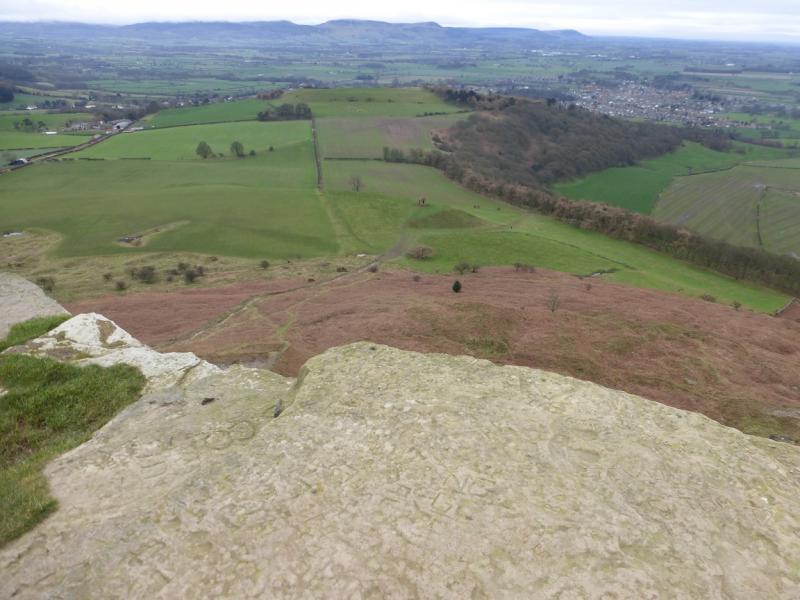
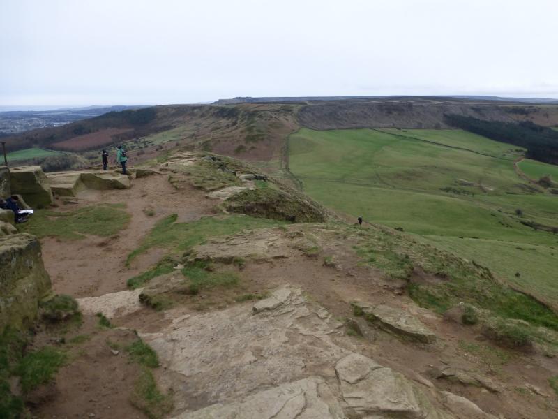
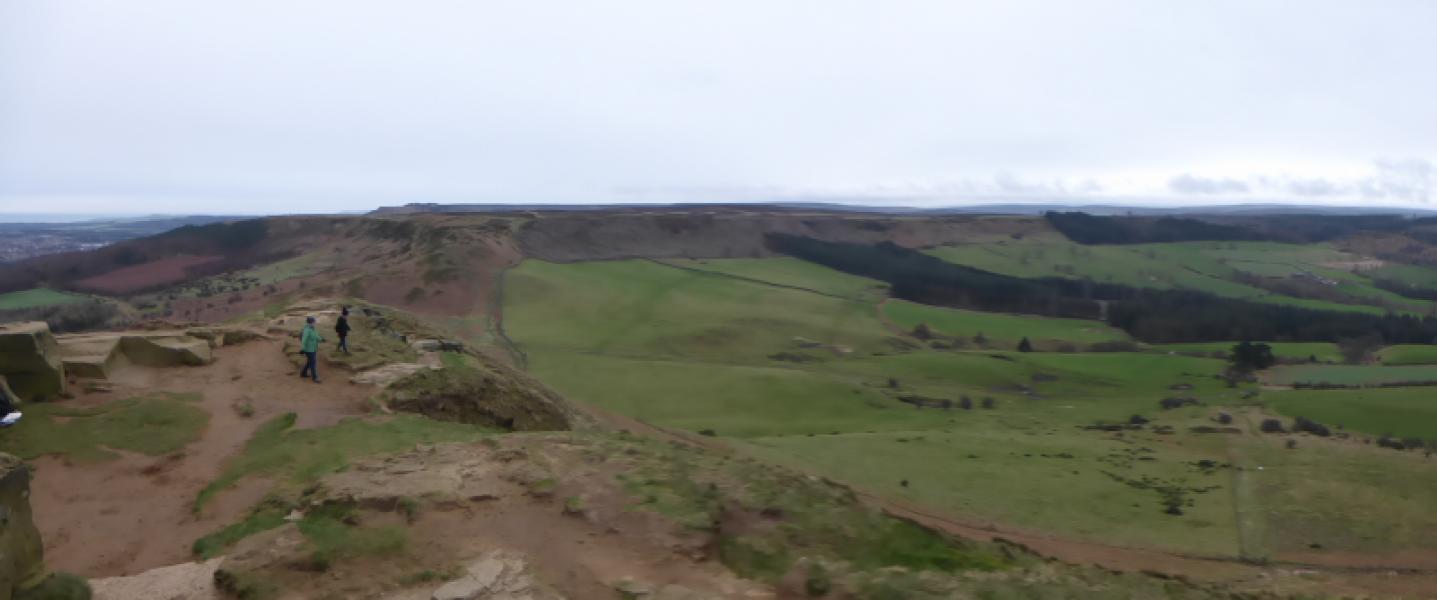
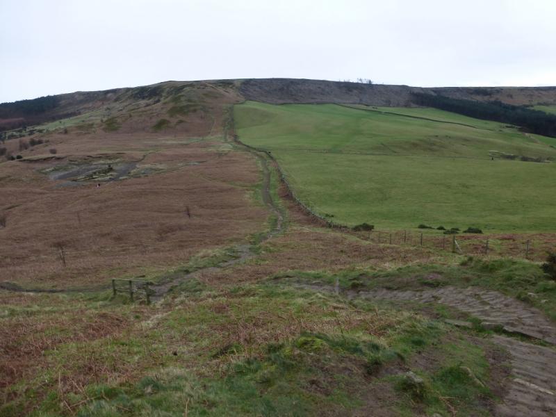
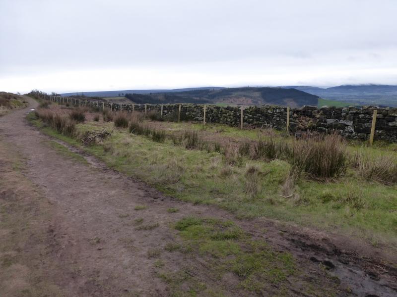
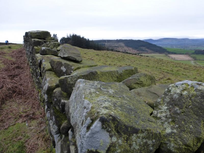
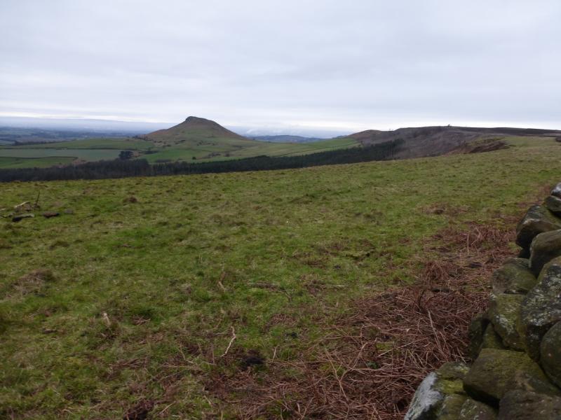
(2) Continue on the path, descending N to join the Cleveland Way, by a wall, to the SE of Highcliffe Farm. A short optional detour (20 minutes) can be made here to Highcliff Nab by following the Cleveland Way then retracing. Follow the good path by the wall, heading WSW, until it meets a track which is actually an extension of Percy Cross Rigg lane. Turn right on to this track for about 150 m then turn left, still on the Cleveland Way, and reach the crest of Newton Moor. Continue ahead and go through a gate before descending W on a slabbed path to reach a col. Continue up the other side and reach the trig point beyond some large blocks which is the summit of Roseberry Topping, 320 m. On a clear day, it is one of the best viewpoints in the area.
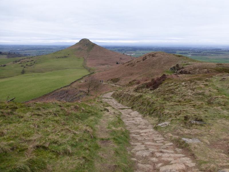
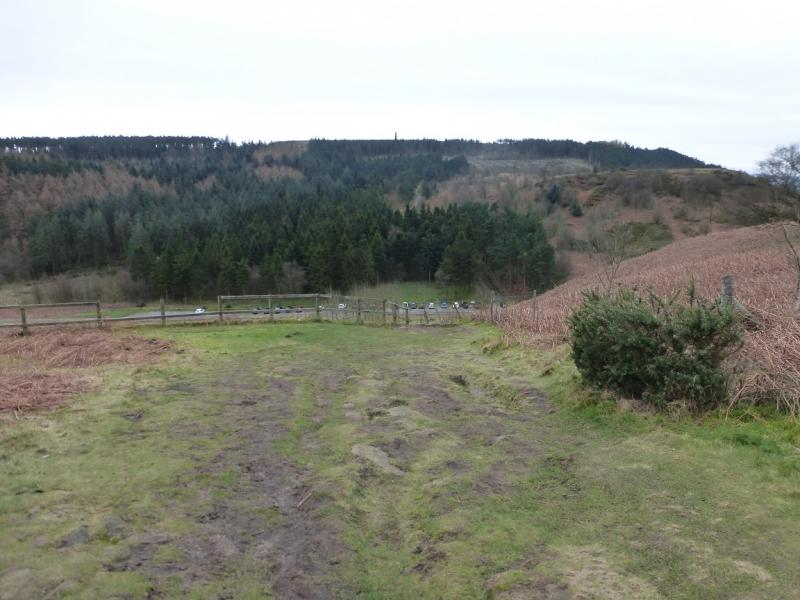
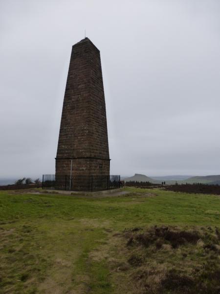
(3) Retrace back to the crest of Newton Moor then turn SE then S, on the Cleveland Way, following a wall, which leads down to the car park to the below the N side of Captain Cook's Monument. Take the obvious path up the other side and make the long gradual ascent to the tall tower which marks the summit of Captain Cook's Monument, 324 m, the highest point on this walk.
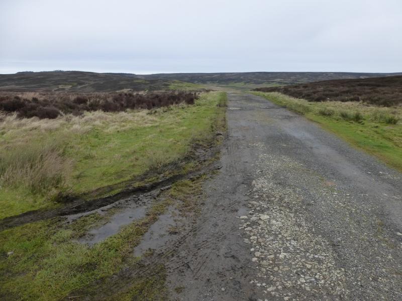
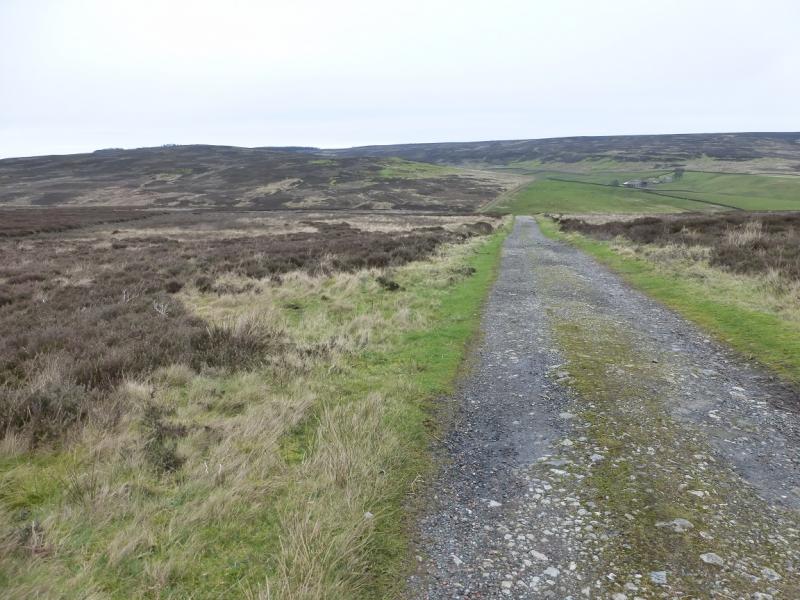
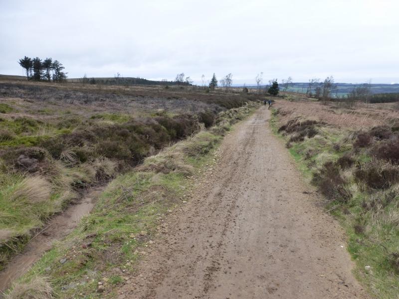
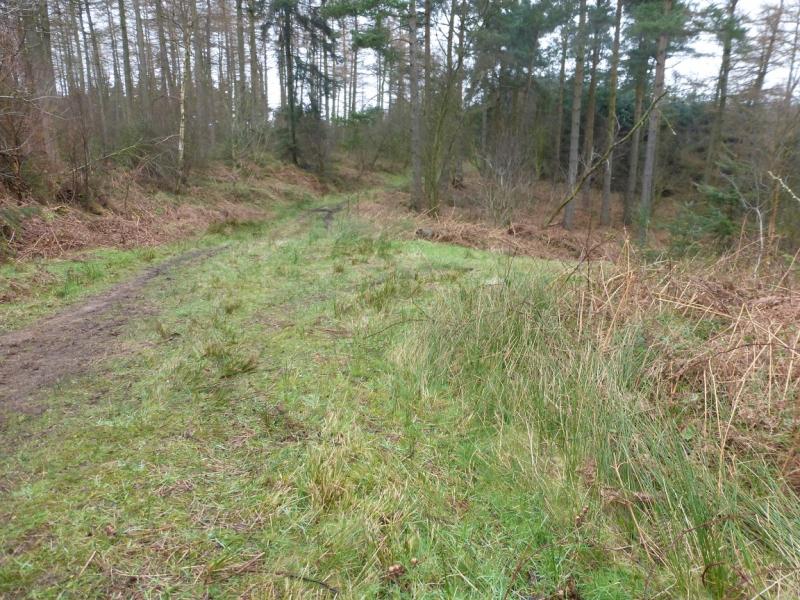
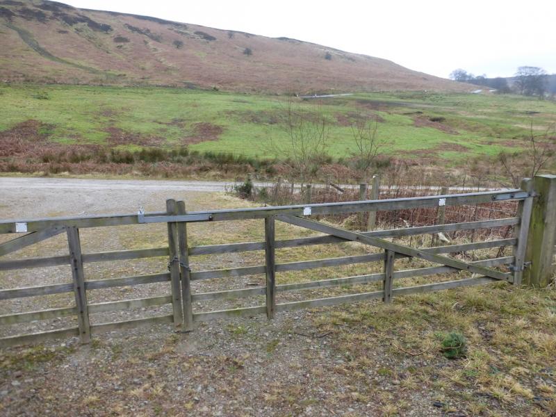
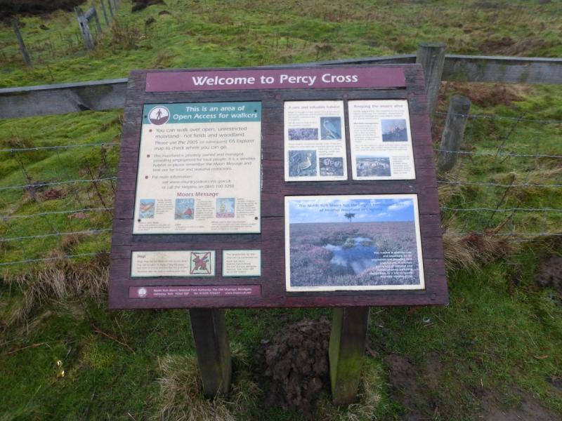
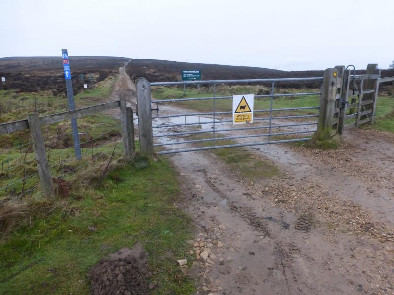
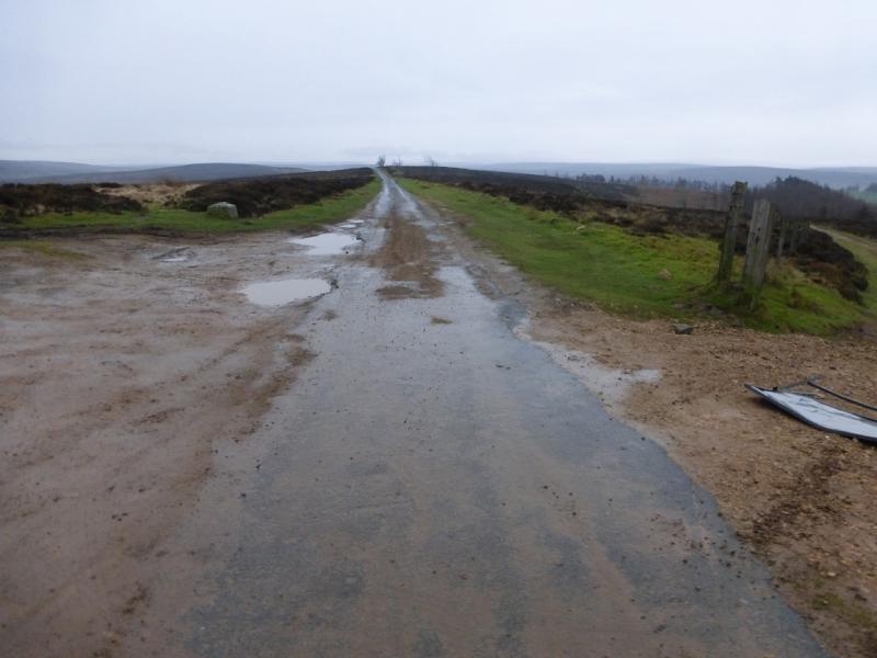
(4) Take the path going virtually due E from the tower and follow it down, through a wall, until the track splits at a sign. Take the left fork and follow the muddy path to reach a stony track. Cross over and follow a footpath down to a grassy track. Turn left and follow the track to a diamond crossroads. Fork right and descend to a wide gate which has to be climbed over to reach a track. Go left and reach a road. Turn right and pass Oak Tree farm, after which there is a cattle grid then some barns on a right angle turn. Leave the road here and go left to ascend a deeply rutted track, heading for the side of a wood on the right, which used to be a public green lane but is now closed to traffic. Even a 4 x 4 would struggle on this worn down track. Follow the track which leads to the end of the tarmac road up Percy Cross Rigg where there is a noticeboard. Turn right and walk back to the car. It is about 1 km to the Sleddale turning.
Notes
(a) This walk took place on 31st January, 2016.
(b) The walk could be shortened by about 2km and an hour by missing out Roseberry Topping but this would seriously downgrade the walk.
Photos - Hover over photo for caption. Click on to enlarge. Click on again to reduce.