Get Lost Mountaineering
You are here: England » Peak District » Kinder, Winhill, Castleton, Mam Tor, Rushup Edge, Brown Knoll & South Head from Ladybower/Bamford to Chapel-en-le-Frith Road
Brown Knoll & South Head from Rushup Edge Road
Brown Knoll & South Head from Rushup Edge Road
Start/Finish
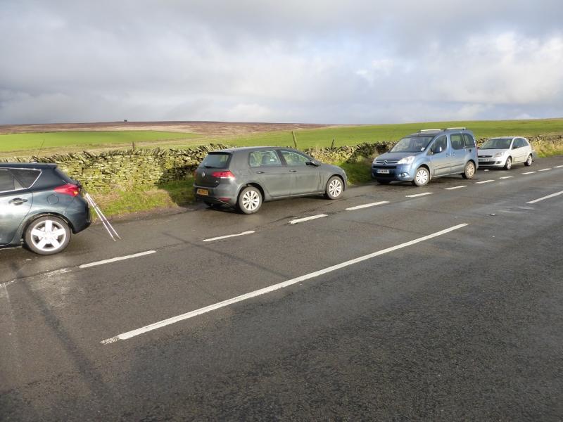
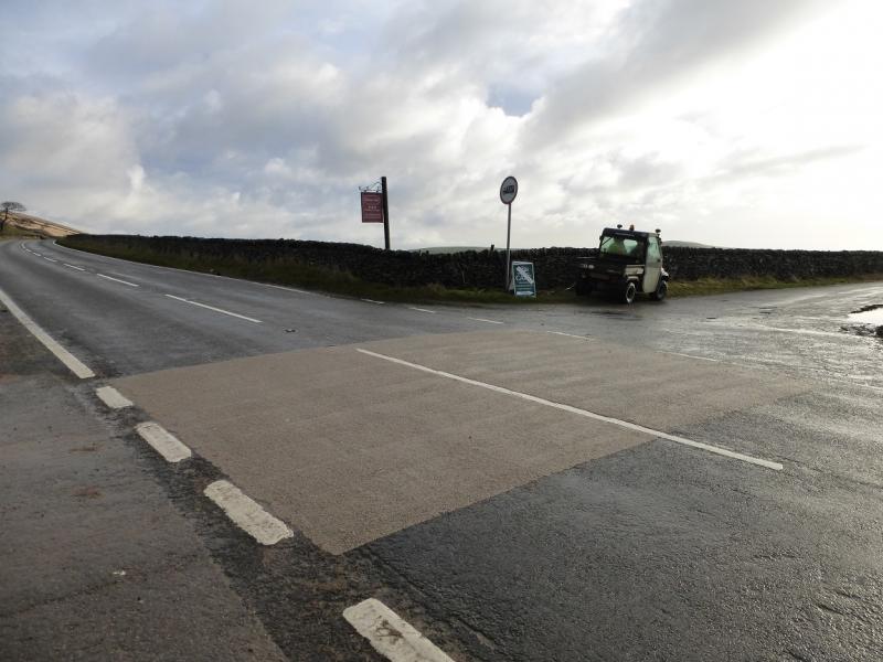
Layby (holds about 8 cars) on the A623 road from Chapel-en-le-Frith to Castleton. This is about 1½ miles from the A6 at Chapel-en-le-Frith and is almost oposite the minor road to Rushup Hall and Perryfoot. Snow can close this road in winter conditions.
Distance/Time
11 km About 3 – 4 hours
Peaks
Brown Knoll, 569 m, SK 083 851.
South Head, 494 m, SK 061 845.
OS Outdoor Leisure 1: Dark Peak. OS 110 (1:50 000).
Introduction
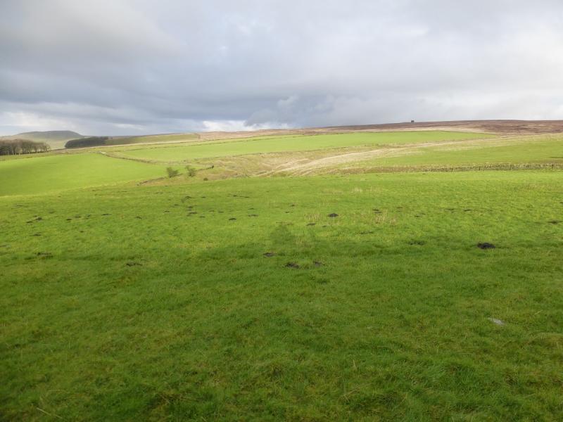
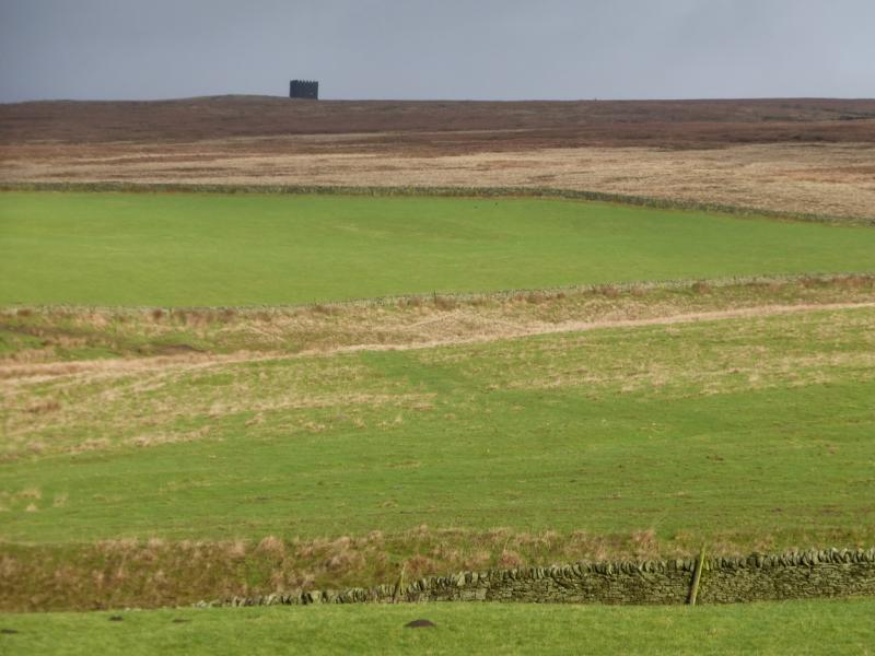
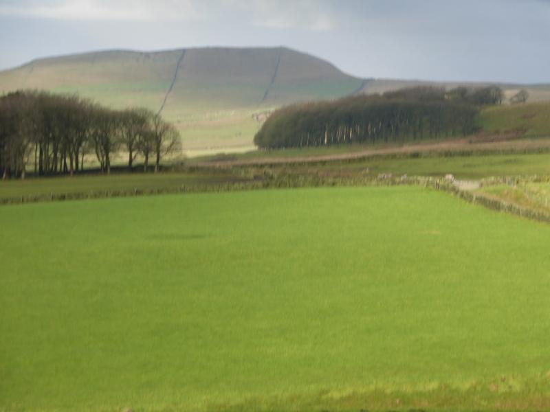
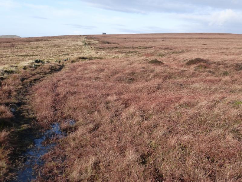
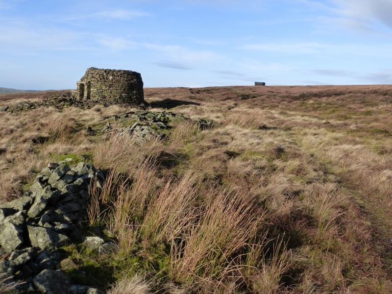
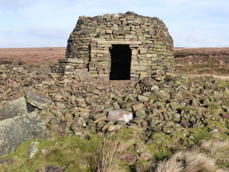
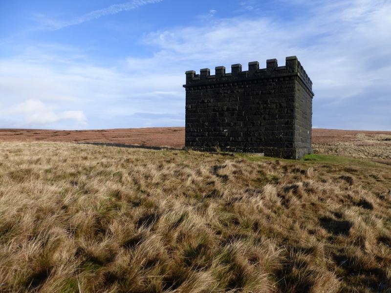
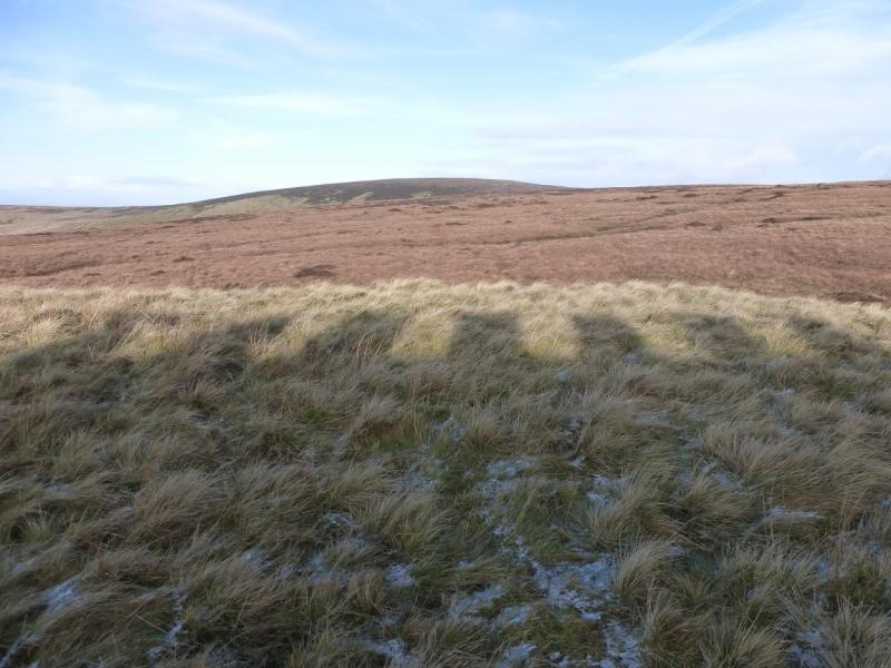
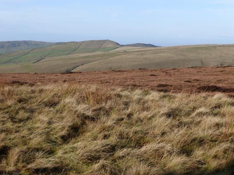
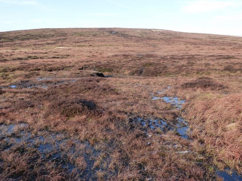
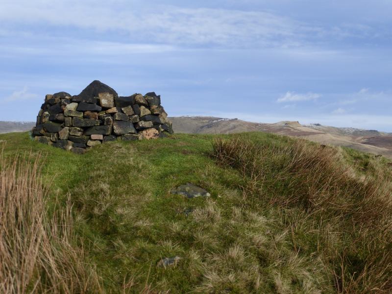
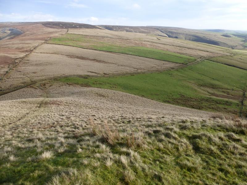
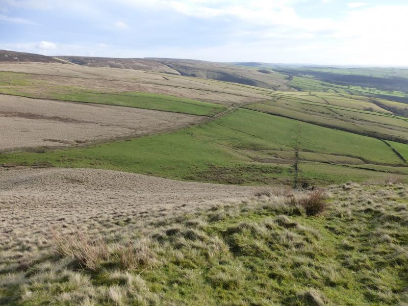
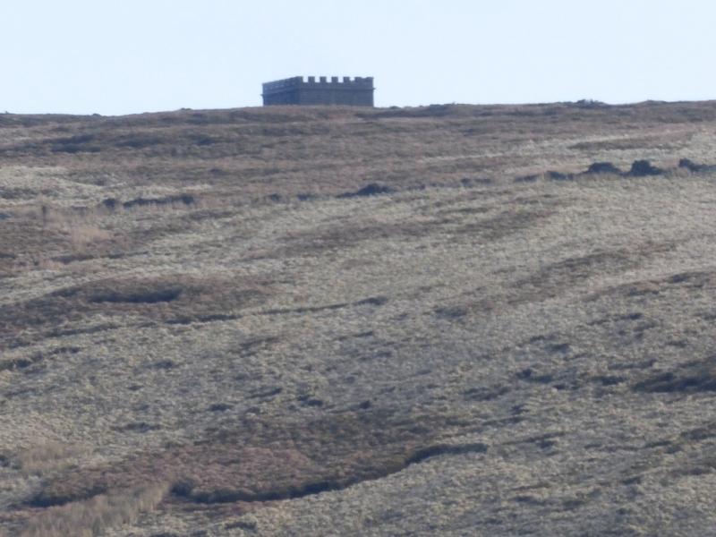
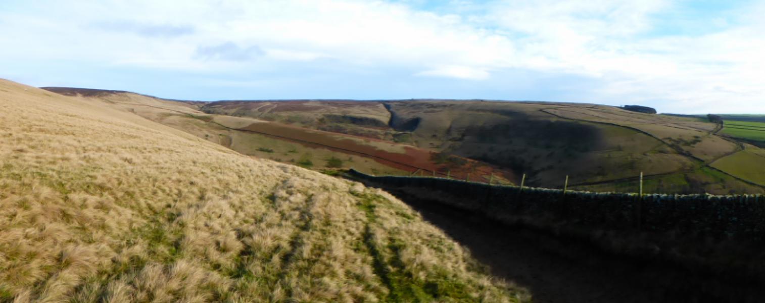
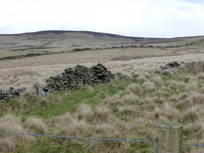
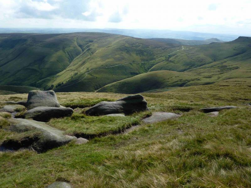
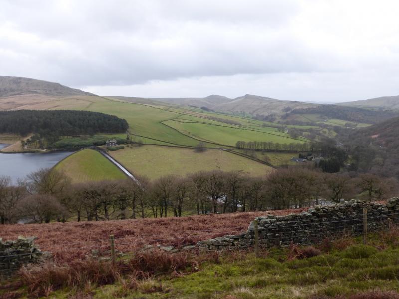
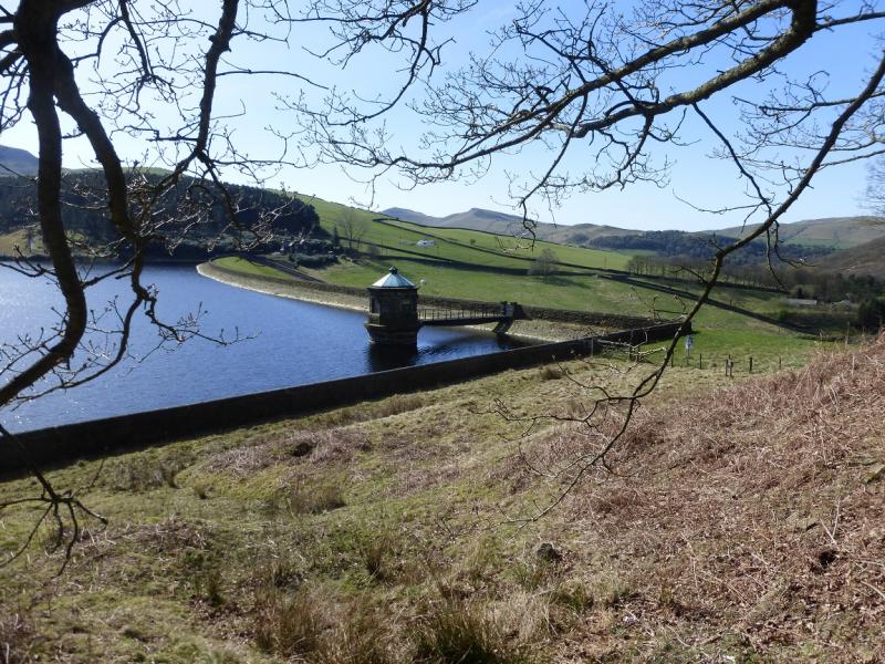
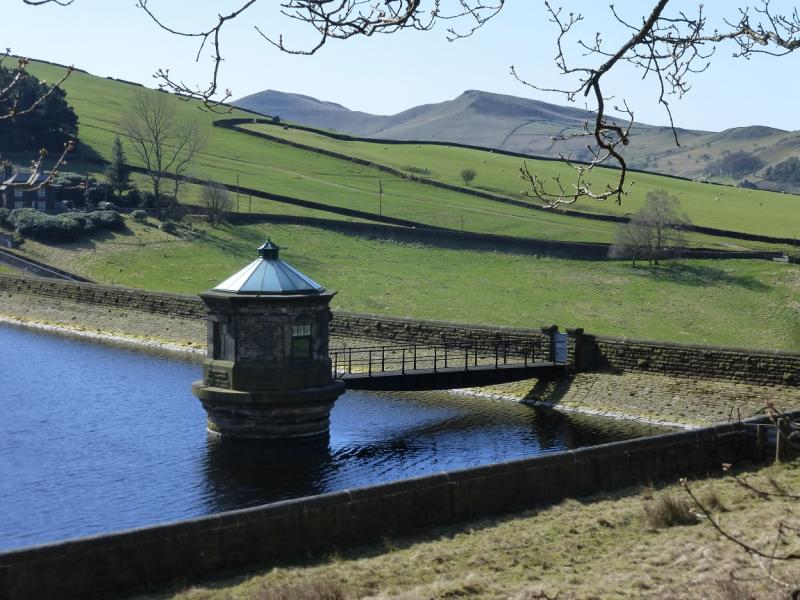
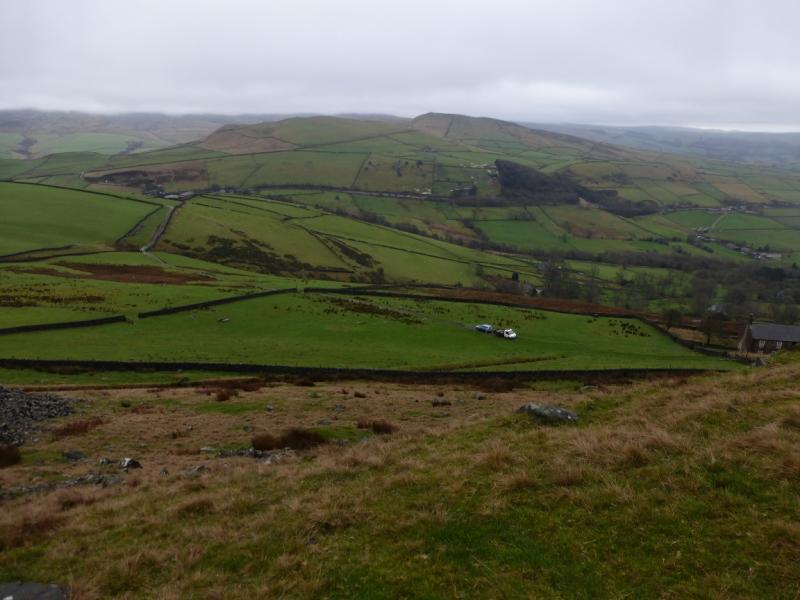
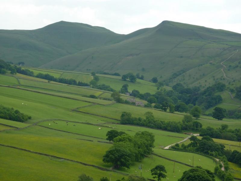
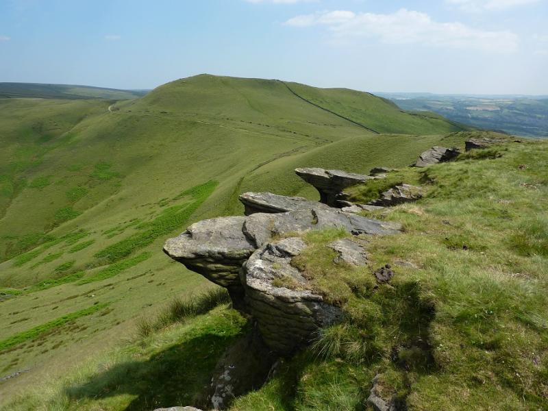
This is a short and pleasant walk but, in places, the ground can be very boggy especially on the approach to Brown Knoll. It is best saved for winter when the ground is frozen. However, at 13/1/16, final preparations were being made to lay slabs on the boggy path between Rushup Edge and Brown Knoll which will be a massive improvement. From Brown Knoll to South Head, much of the path is slabbed with just a few short boggy sections. Which can easily be avoided. The return from South Head is via an “idiot proof” bridleway! On a clear day, there are excellent views across Edale to Kinder, to Chinley Churn and even to Shining Tor and Cats Tor. The route to Brown Knoll passes a stone “igloo” which is good to shelter inside and the Cowburn (railway) Tunnel airshaft which looks like a small castle.
Route
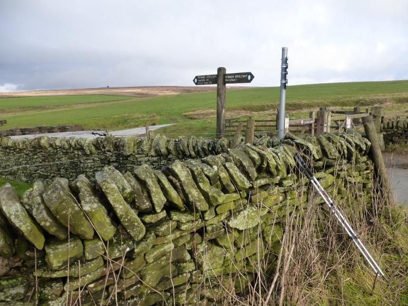
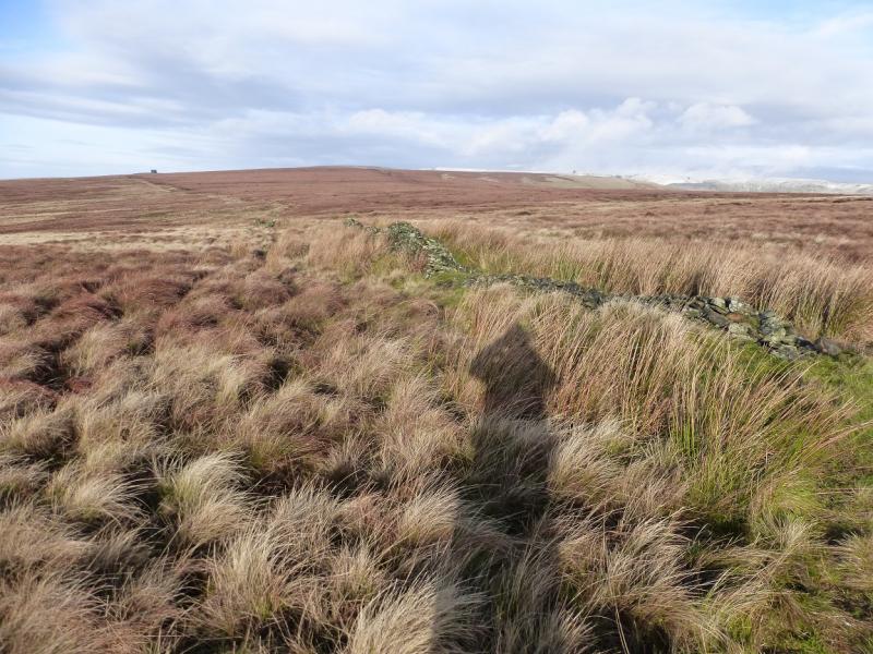
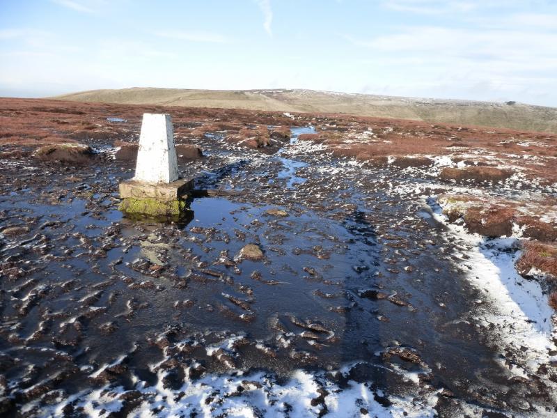
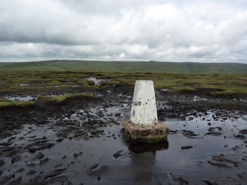
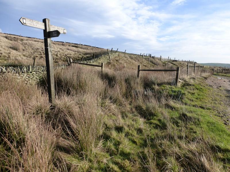
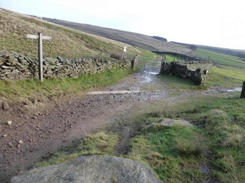
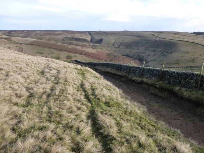
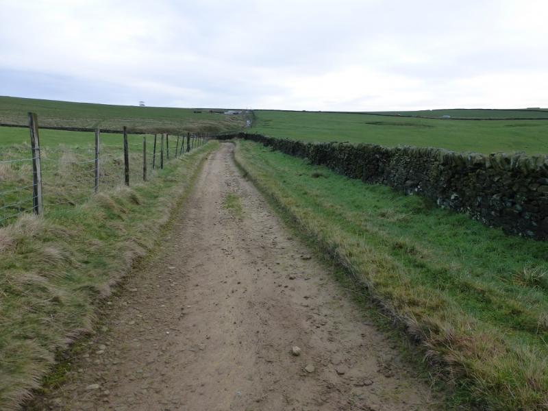
(1) Go left through the gate at the top of the lay by and take the track which runs parallel to the road. Follow this until it passes through a gate in a stone wall. A sign post may be seen about 100 m further on. After the gate, immediately, take the faint path, up the bank, and follow it to soon reach a path by a broken wall which actually started at the sign post. Follow the path by the broken wall to reach the stone “igloo” which is large enough inside for several people. Continue ahead to reach the Cowburn Tunnel airshaft which resembles a mini castle. The path now gets fainter and soon virtually disappears so head roughly N and intersect with the boggy path on the crest coming from Rushup Edge. Follow this path, very boggy in places, roughly NW up the SE flank of Brown Knoll to reach a boggy plateau which holds the trig point of Brown Knoll, 589 m. In wet weather, the trig point is surrounded by bog and walking poles are needed to locate hidden “stepping stones”.
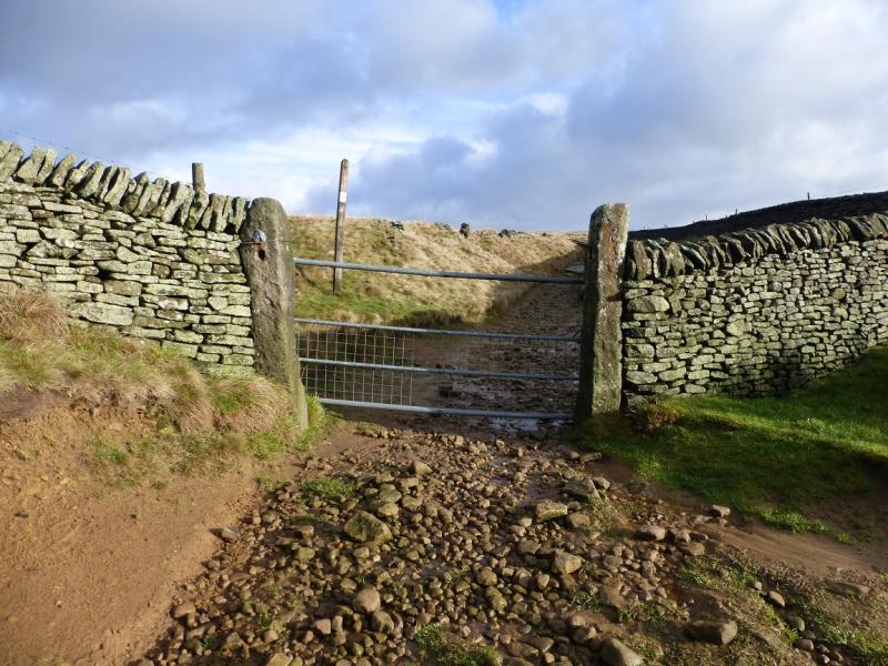
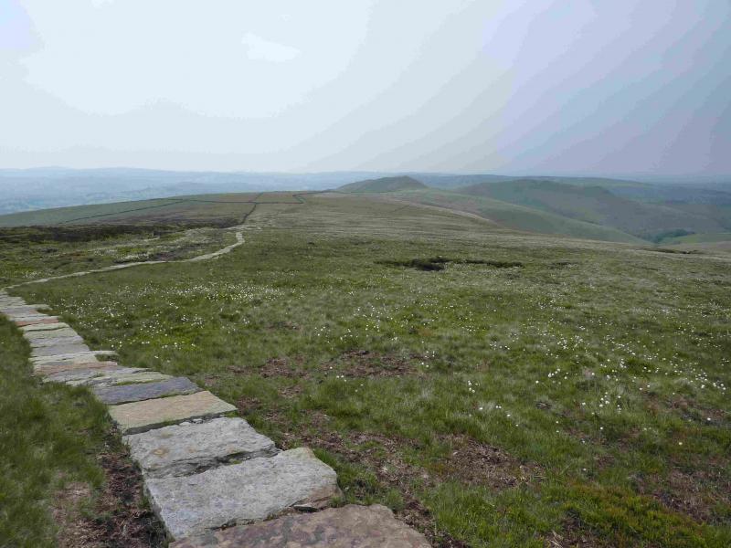
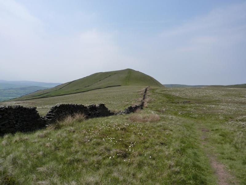
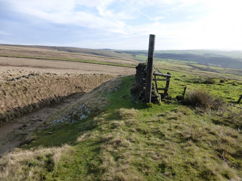
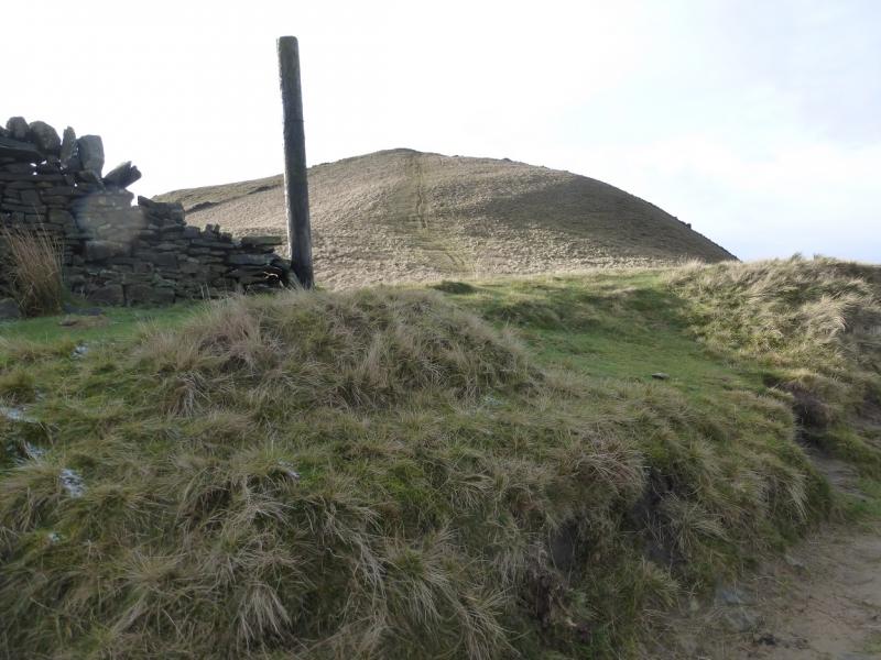
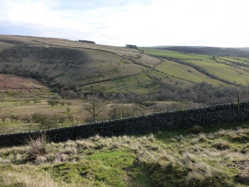
(2) Walk roughly W. Once clear of the summit bog, the ground is rough but almost bog free. Descend down, aiming for the NE end of a stone wall where the wall becomes fence and it is easiest to cross as there is no stile. Once over, go a little further and pick up the slabbed path coming from Edale Cross. Follow the slabbed path across the NW flank of Brown Knoll. Pass hill 489 and continue, following a wall. The slabbed path will run out at a stile but the wall is still there as a guide. The path eventually goes through a gap in the wall and reaches a main path which is the return bridleway. Cross this, a large pole is close by, and follow the fainter grassy path up to the medium cairn of South Head, 494 m. The cairn has now been rebuilt as a circular feature and is no longer a pile of stones.
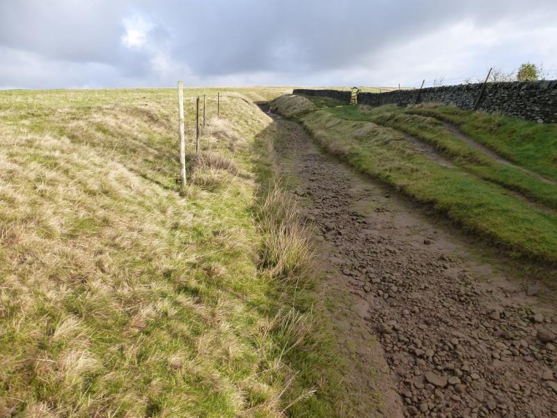
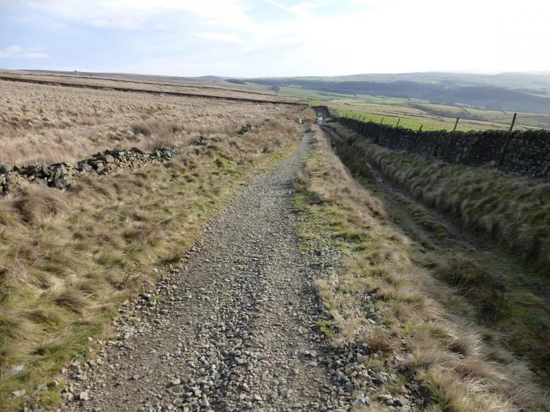
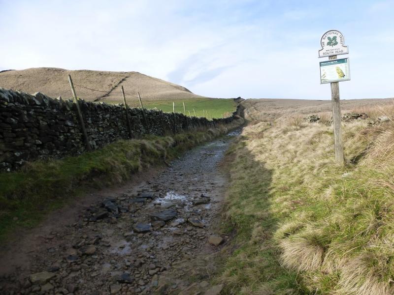
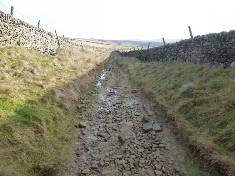
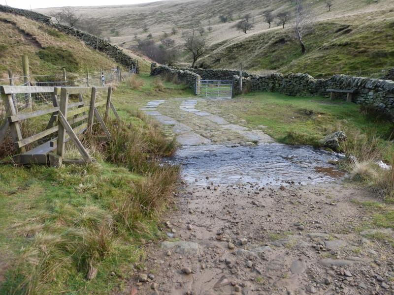
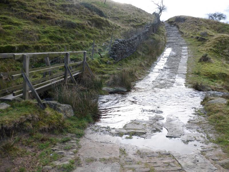
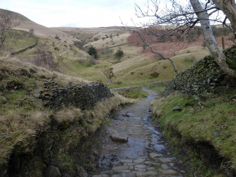
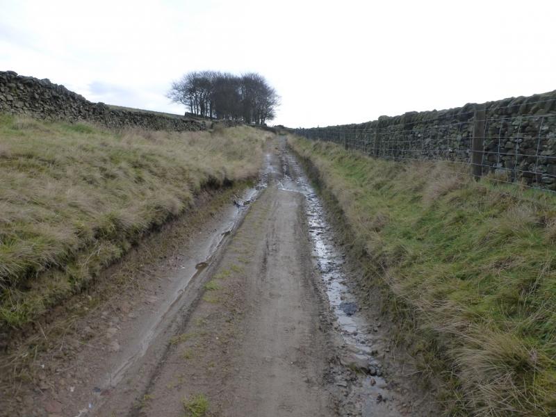
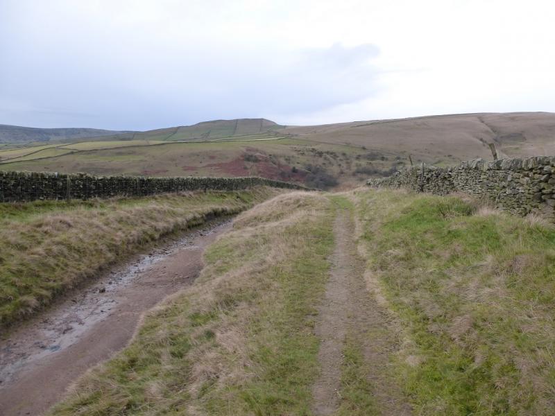
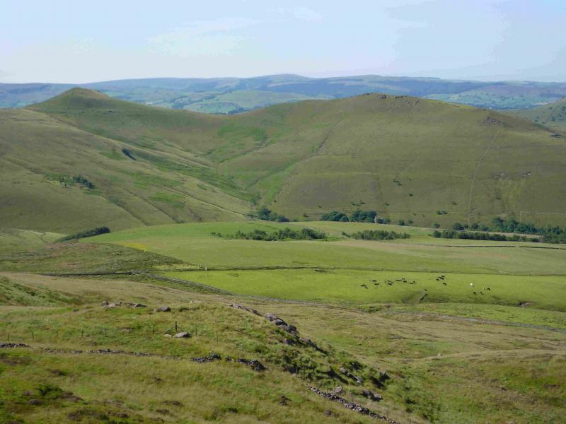
(3) Retrace down South Head to the bridleway by the large pole. Follow this SE. There are signs where needed. Follow those for Perryfoot. It is about 4 km back to the road. The bridleway descends into an impressive hollow known as The Roych then ascends gently back to the road.
Notes
(a) This walk took place on 13th January, 2016.
Photos - Hover over photo for caption. Click on to enlarge. Click on again to reduce.