Get Lost Mountaineering
You are here: England » Peak District » Bleaklow, Higher Shelf Stones & Cock Hill from Old Glossop & Snake Pass
Cock Hill & Glossop Low via Reservoirs from Old Glossop
Cock Hill & Glossop Low via Reservoirs from Old Glossop
Start/Finish
Near the Howard Town Brewery. From Glossop, take the Snake Pass road. Go through the first roundabout then take the next left at the Commercial Inn which goes up Manor Park Road. Higher up, the road seems to go right but carry on ahead to the left of the Queens Arms. Pass a church on the left then turn right into Wellgate at the Bull's Head. Continue into Hope Street where the Howard Town Brewery will soon be seen on the left. Charles Lane is a little further on the left and has a No Through Road Sign and a No Turning Sign. Park sensibly near here. If you reach an obvious turning circle, you have gone too far so go back.
Distance/Time
8 km About 2½ hours
Peaks
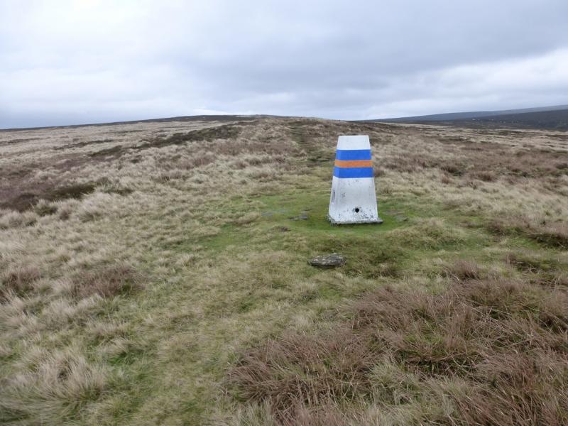
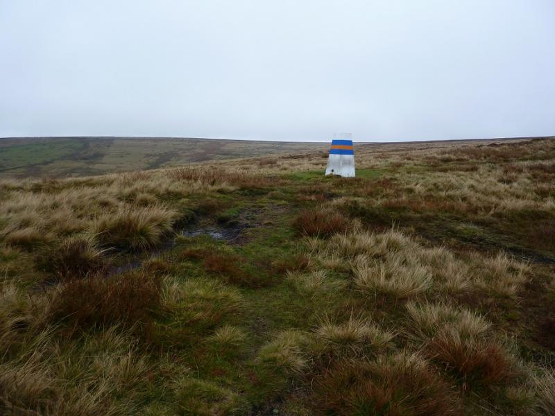
Cock Hill, 426 m, SK 059 962.
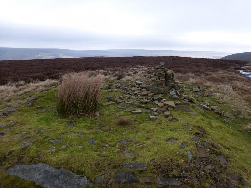
Glossop Low, 481 m, SK 066 967.
OS Outdoor Leisure 1: Dark Peak.
Introduction
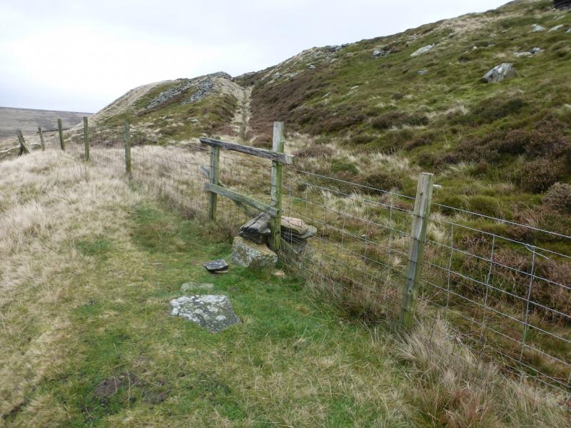
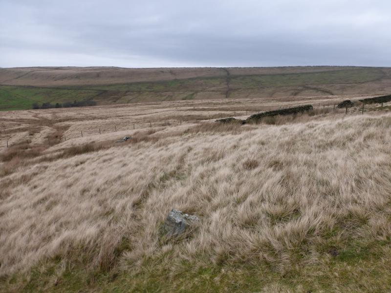
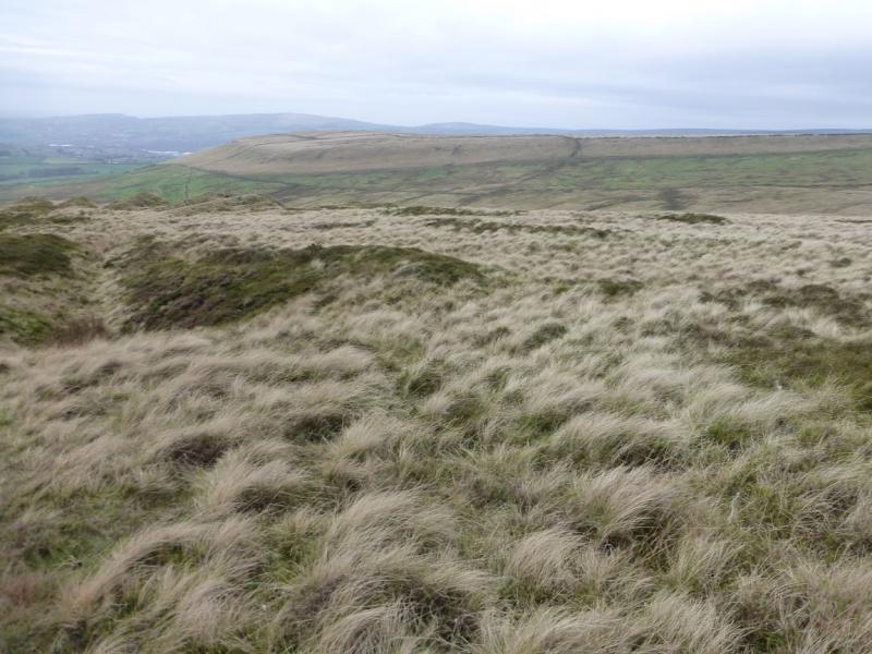
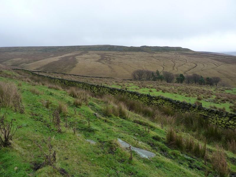
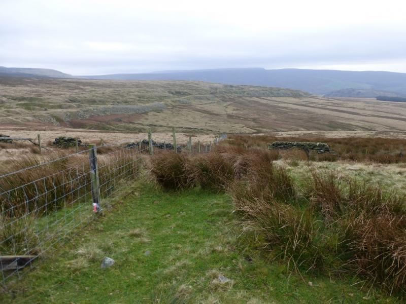
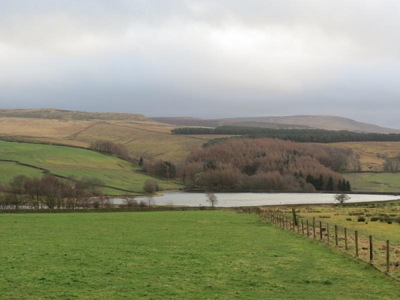
This is a pleasant short walk in the Dark Peak which, in good weather has good views of the surrounding countryside especially towards Bleaklow and Higher Shelf Stones and the other hills around Glossop. Some of the going can be boggy, even in a dry spell, and gaiters are recommended. This walk can easily be accomplished on a short winter's day. Navigation is easy, even in mist, as a good path and track are followed for most of the way. The going around Swineshaw Reservoirs can be wet and there is one wall without a stile.
Route
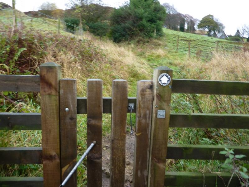
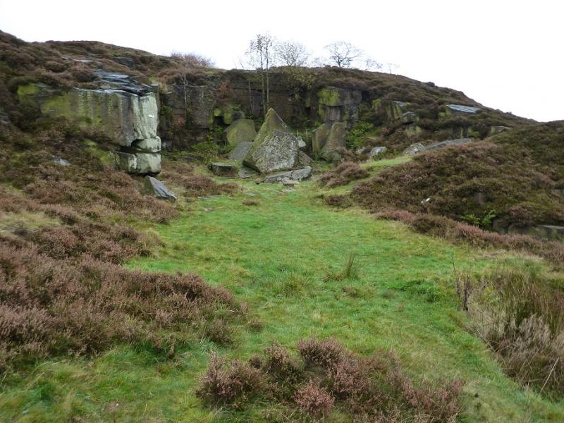
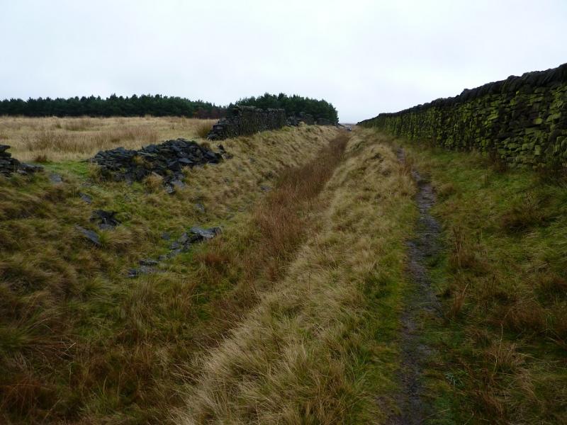
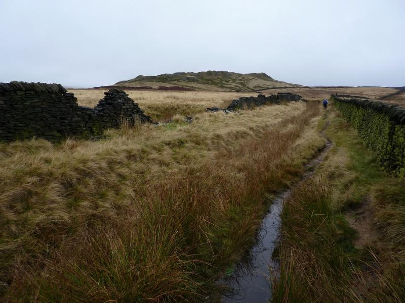
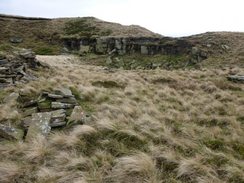
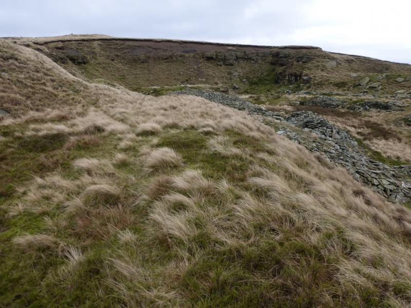
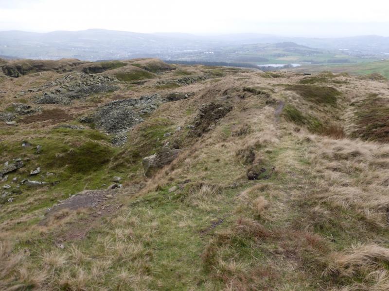
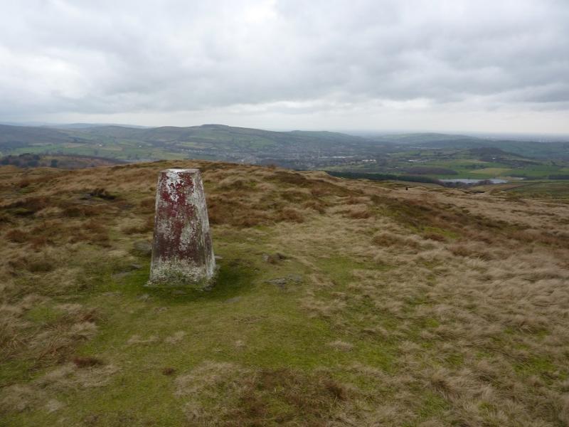
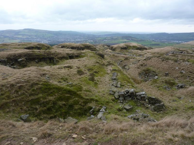
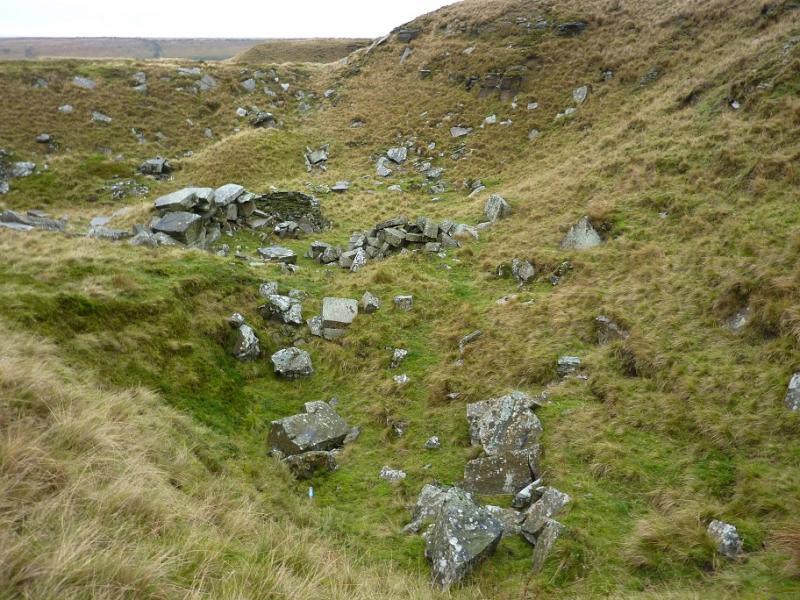
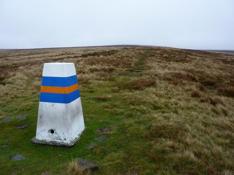
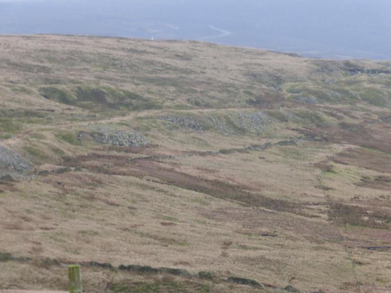
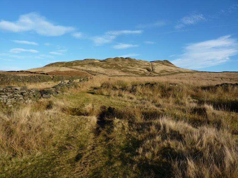
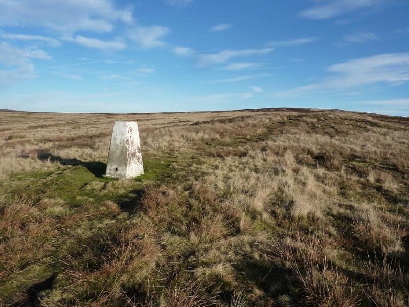
(1) Walk up Charles Lane. Soon a path goes off to the left through a small gate. Soon you pass an old quarry then are walking between two walls. Two strips of trees, on the left, are also passed. Soon Cock Hill should be visible. It looks very “bumpy”. The path leads towards it then splits so take the left fork which follows a wall and goes around to the left of the hill before picking a way up to the trig point which marks the “summit” of Cock Hill, 426 m, although it is clearly not the highest point.
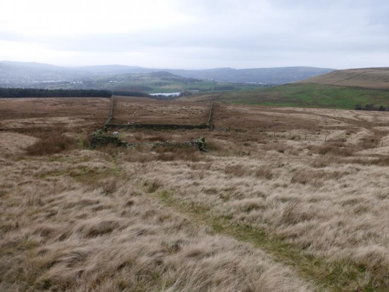
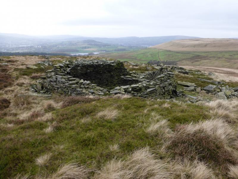
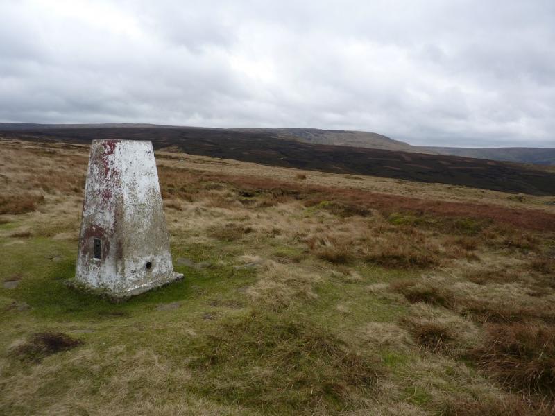
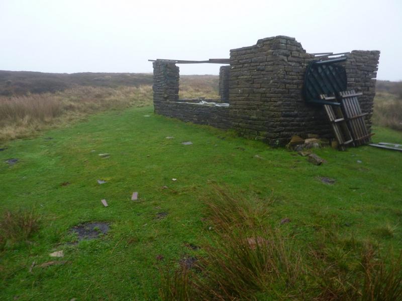
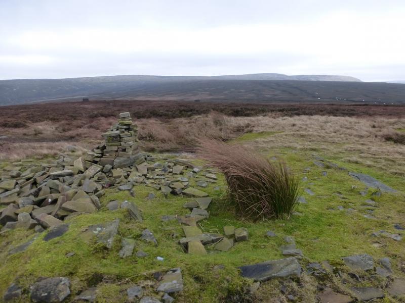
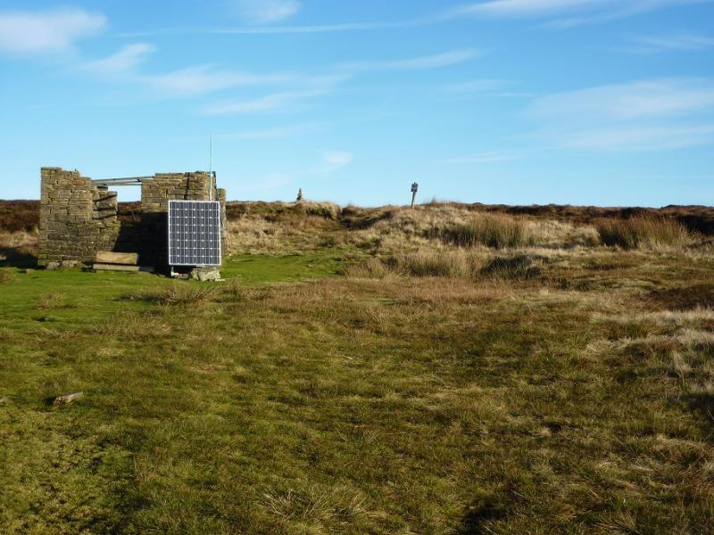
(2) Continue on the path which ascends the gentle shoulder to reach an old ruin on Glossop Low at the end of a track. The grouse screens can be a useful guide on the approach. The cairn is a little further. This is the highest point on Glossop Low, 481 m.
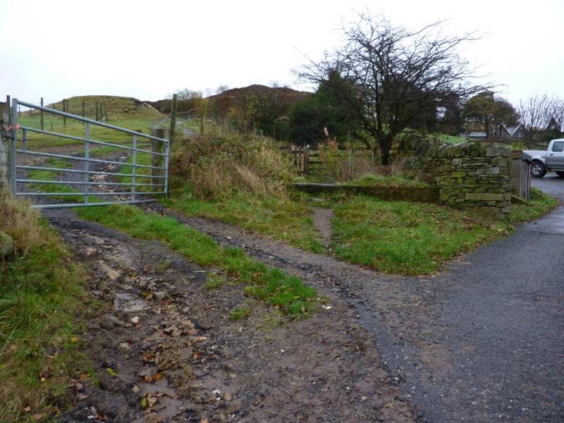
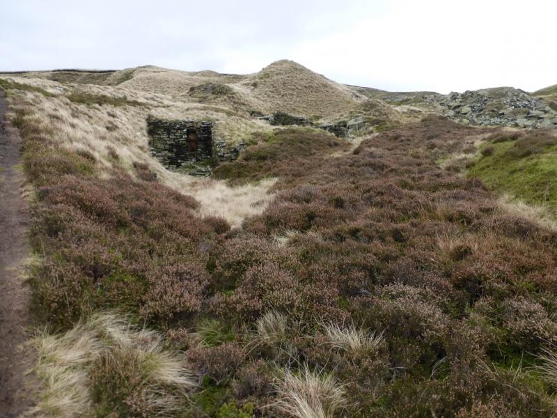
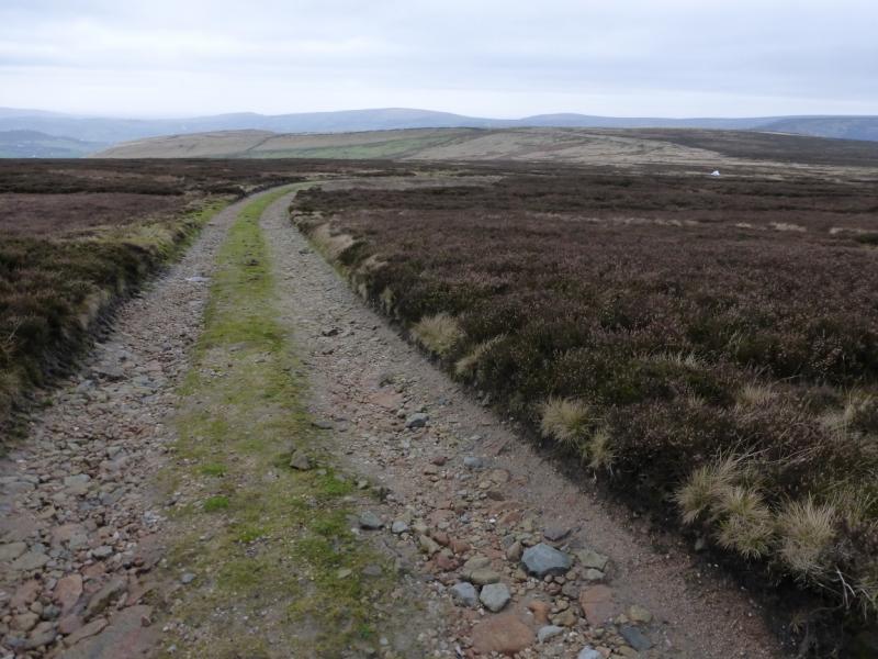
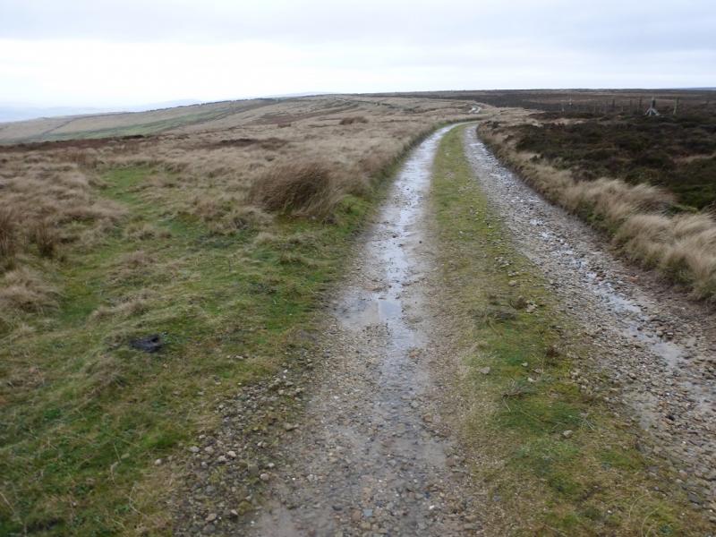
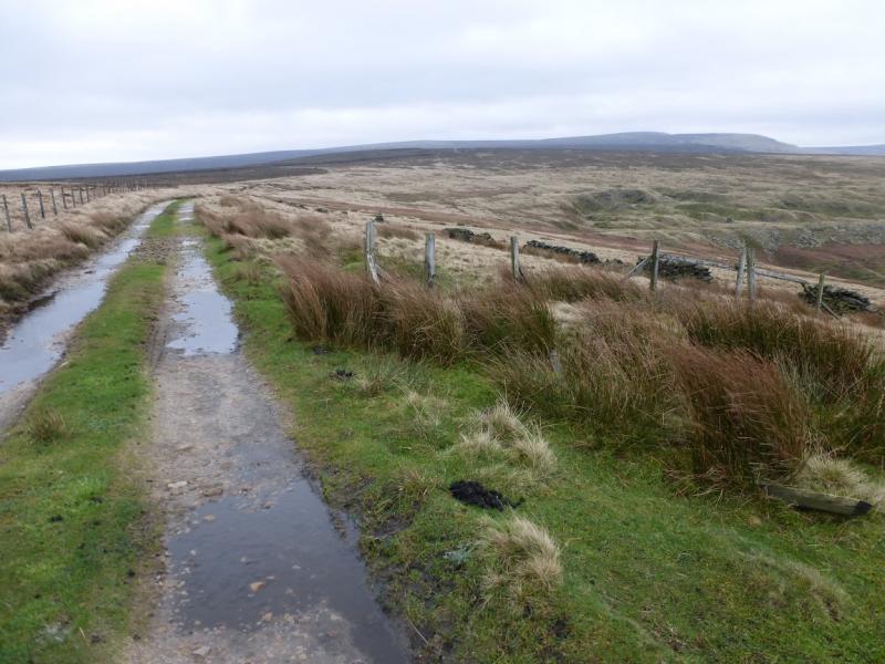
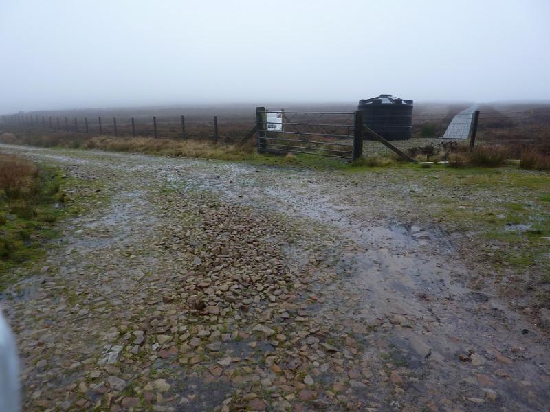
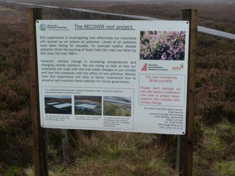
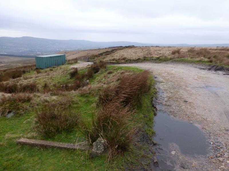
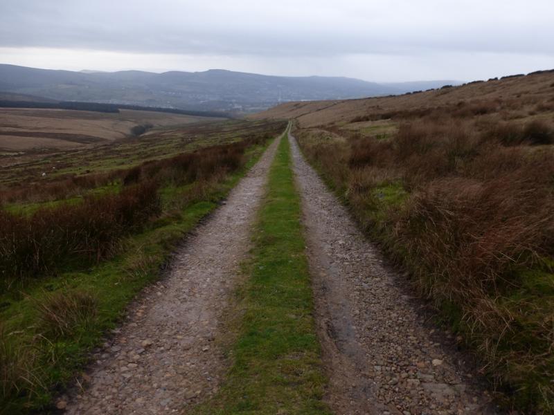
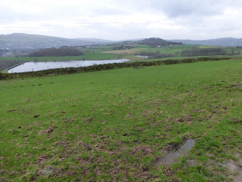
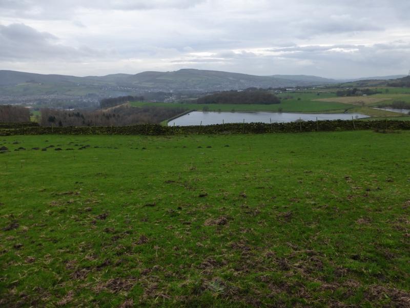
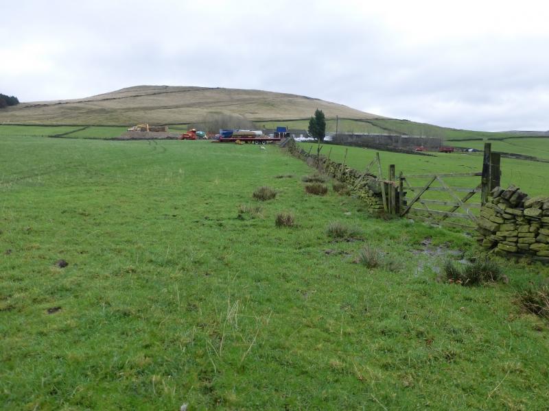
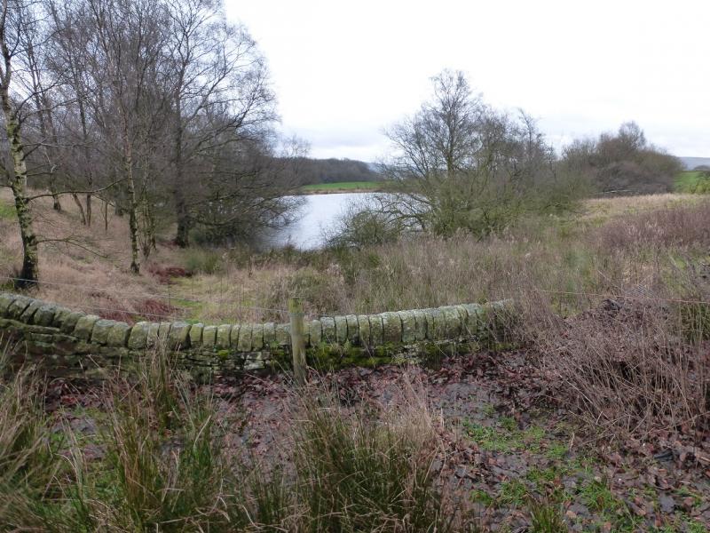
(3) Return to the ruin and follow the obvious track down. The track can be quite boggy near the ruin but soon improves lower down. Follow the track down, passing a fenced off environmentally protected area. Eventually, reach the farm. To go directly, from the farm, to the reservoirs, turn left towards the farm then go through a gate on the right just before the track passes through a gate with a stile. Walk gently down hill to reach the reservoirs and walk around their far sides until the path from the road is joined. The ground can be wet and there is one wall without a stile to cross just before the path from the road is joined. Alternative routes are given in the notes. Follow the path, very faint in places, down the side of the wall by the reservoirs until it descends down to a tarmac road. Follow the road down. When it splits, take the left fork which soon becomes a path leading through some stone flats. Follow the road down to join the road coming from the Bull's Head and Wheatsheaf then continue down to the end of this road. Turn left into Hope Street and soon reach the start. If in doubt, aim for the obvious church with a tall steeple then locate the two pubs which are close by.
Notes
(a) This walk took place on 17th November, 2015.
(b) To avoid the wet ground to the reservoirs, go right and soon reach the road from Glossop to Woodhead/Torside. Turn left, S, and follow the road (no path) towards Glossop. In about 600 m, a signed path goes off left, E, to the reservoir; take this and follow it to the reservoir then follow the reservoir wall to the right.
(c) A third alternative from the farm is to go left and take the track through the gate with the stile and follow it down and around the near side of Swineshaw Reservoir to join the tarmac road lower down.
Photos - Hover over photo for caption. Click on to enlarge. Click on again to reduce.