Get Lost Mountaineering
You are here: England » Peak District » West of Hayfield to Buxton Road
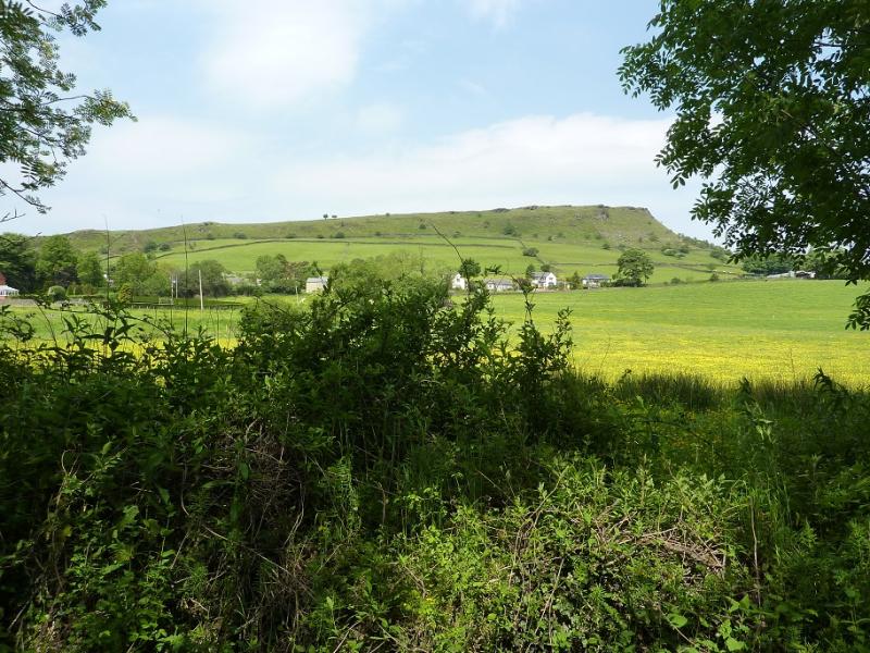
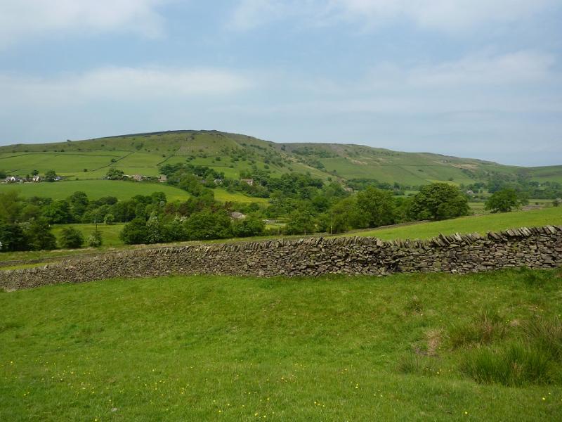
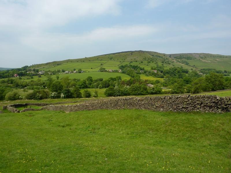
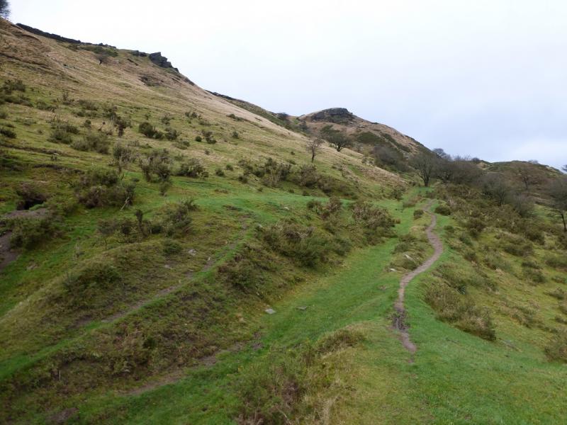
Chinley Churn from Chinley
Chinley Churn from Chinley
Start/Finish
Chinley village which is on the B6062 about 2 miles north west of Chapel-en-le-Frith which is about 5 miles north of Buxton on the A6. There is plenty of free on street parking in the village as well as toilets. There is very limited parking up the road to Dryclough but it is usually possible to park at the bottom of this road. Chinley has a railway station which offers the chance to enjoy this walk without using the car.
Distance/Time
6 km About 2 – 3 hours
Peaks
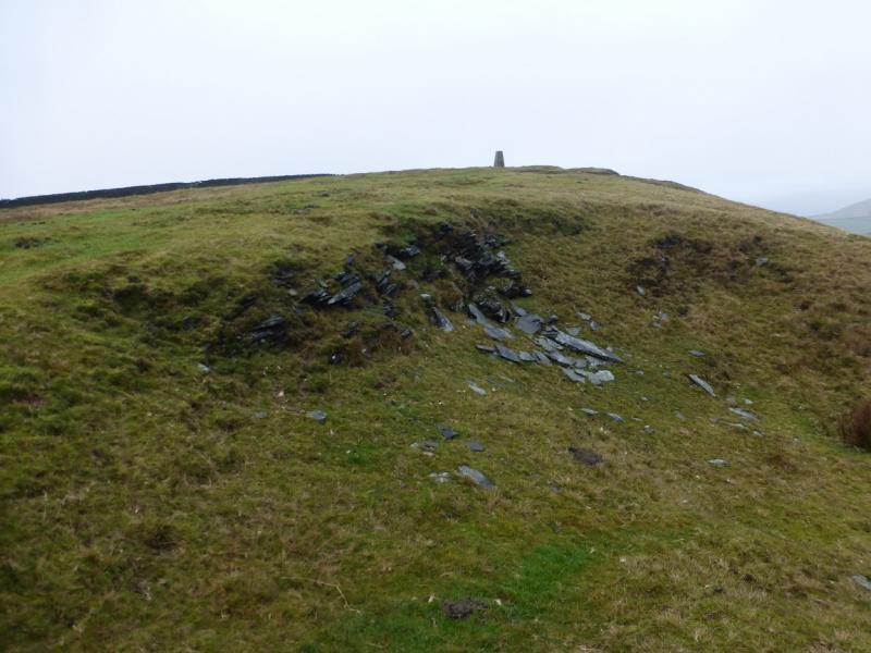
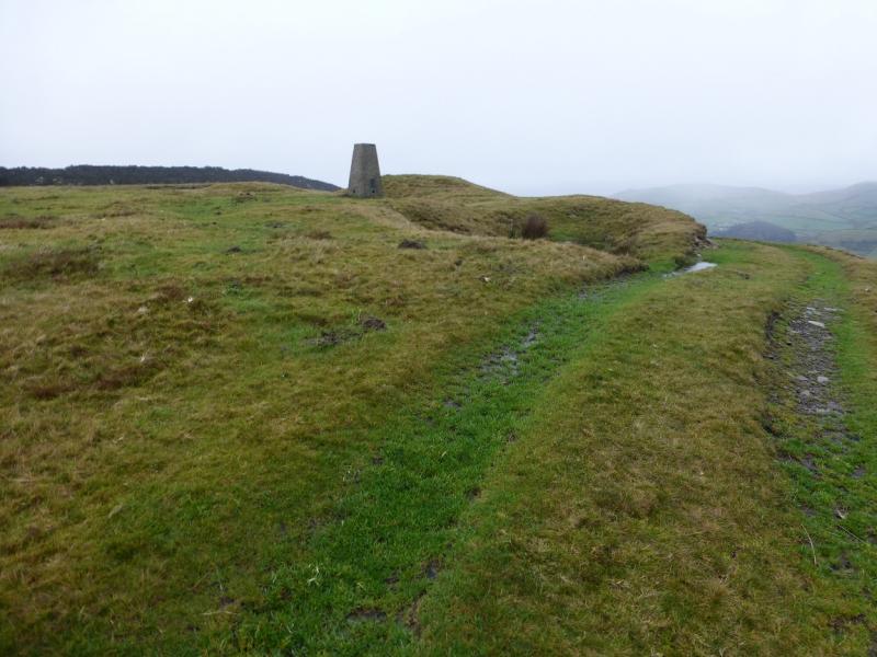
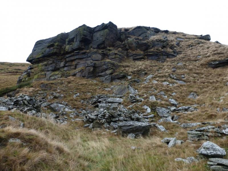
Chinley Churn, 451 m, SK 035 836.
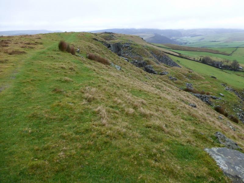
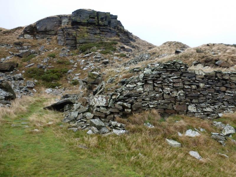
Most of this walk is on, or below, Chinley Churn edge.
OS Outdoor Leisure 1: Dark Peak. OS 110 (1:50 000).
Introduction
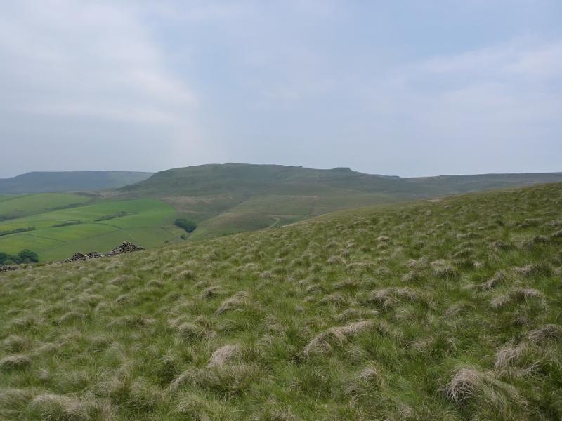
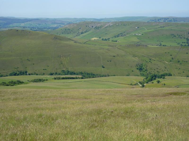
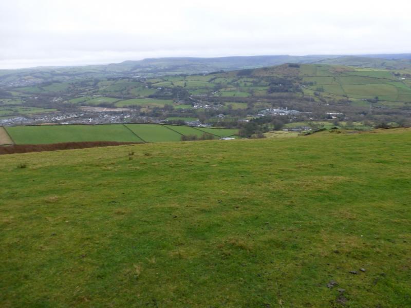
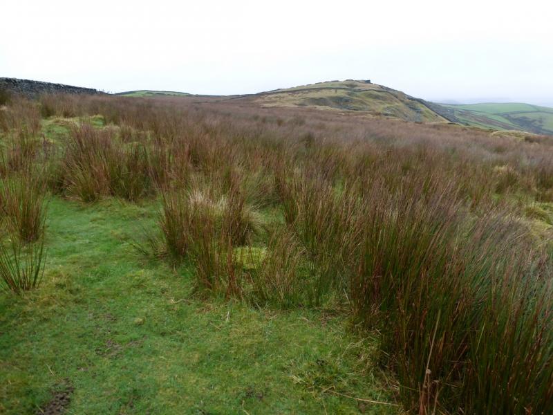
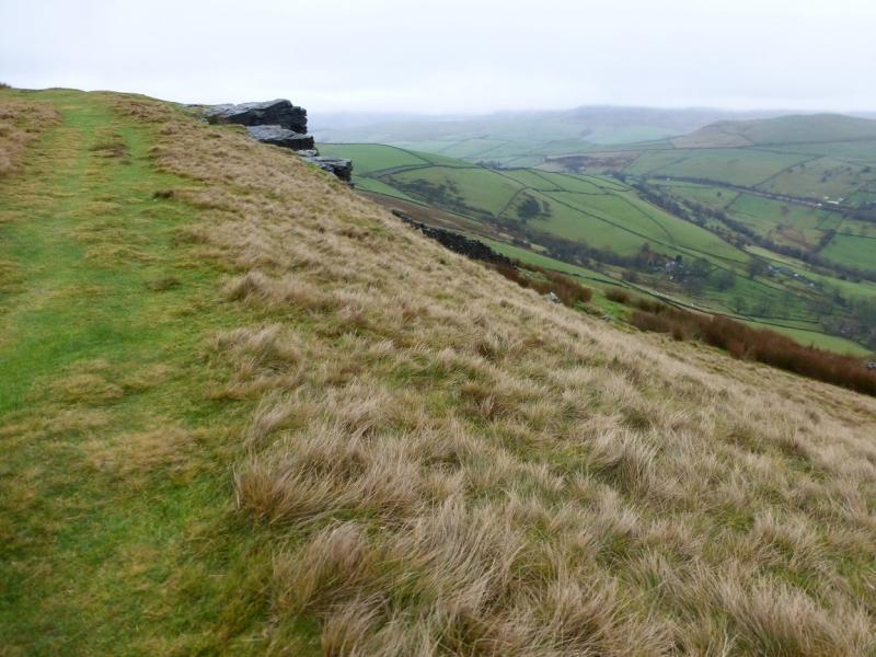
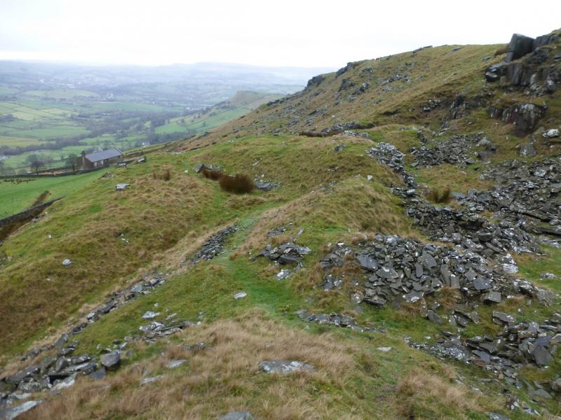
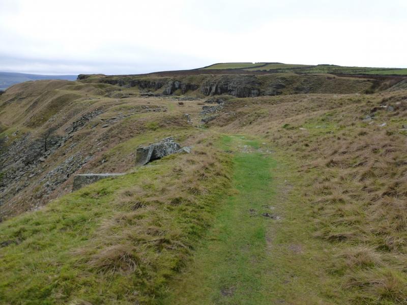
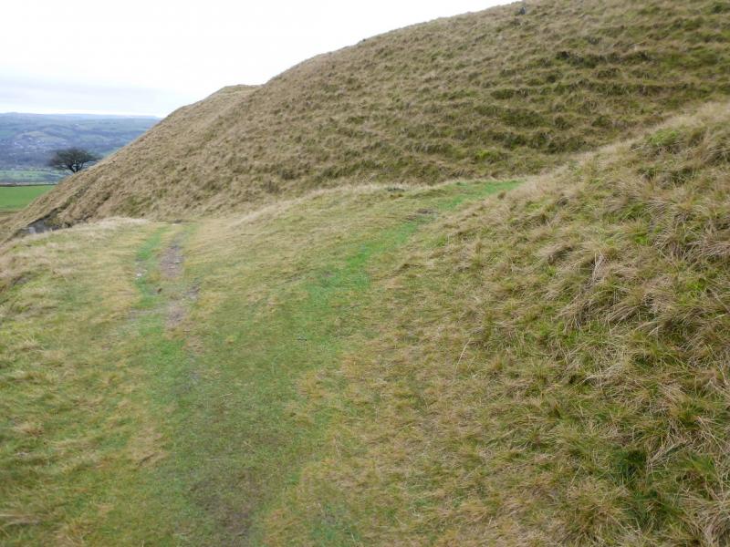
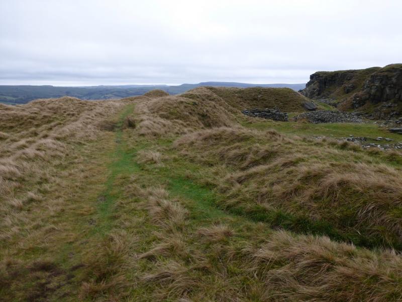
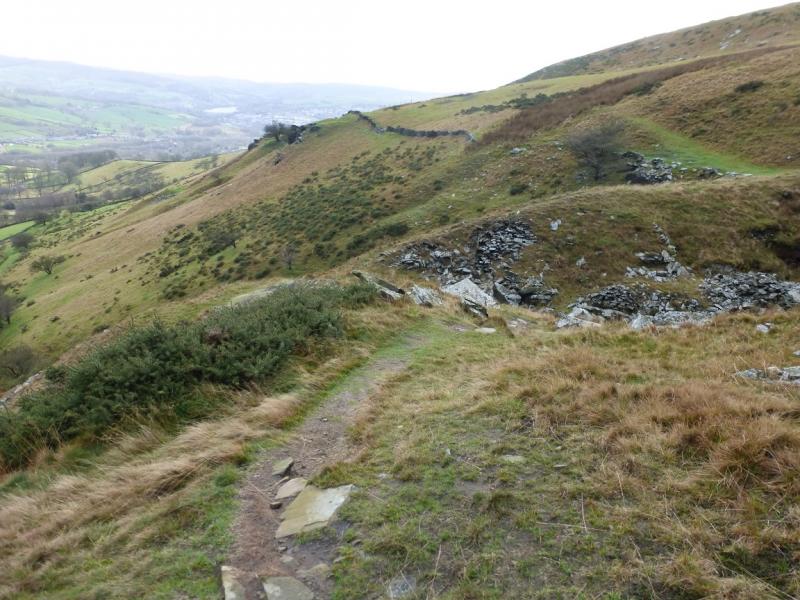
This is a pleasant walk ideal for a short winter's day. The going is generally good on paths and bridleways but there is an over abundance of paths in this area which makes describing a precise route almost impossible. The route goes along the top of Chinley Churn edge then returns on the path below the rocky edge. There are many opportunities to explore on and below Chinley Churn edge and many places to escape any cold wind! On a clear day, there are excellent views to Kinder, Mount Famine, South Head, and Chinley. Note that there is little point in using the bridleway from Throttle Bank as one is not near the edge and the track is quite boggy.
Route
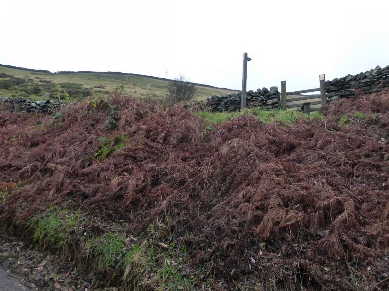
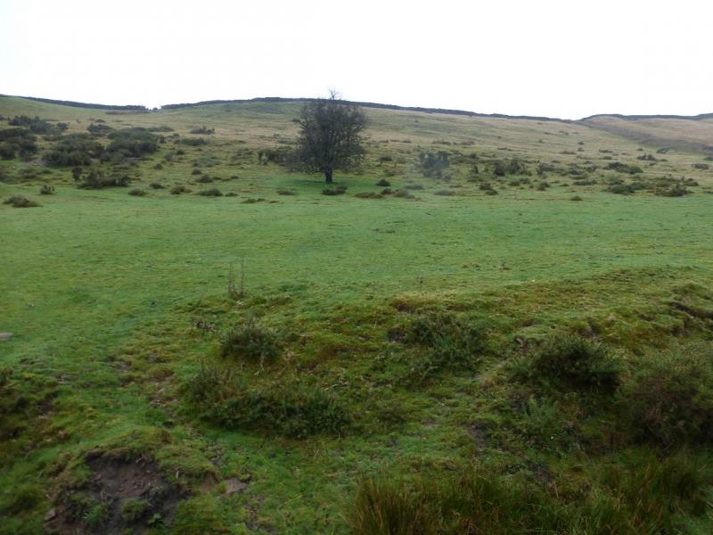
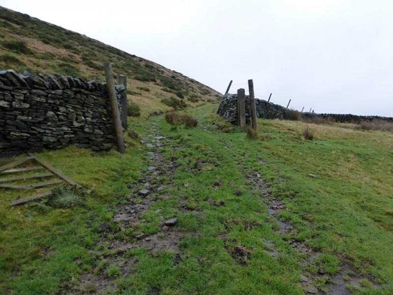
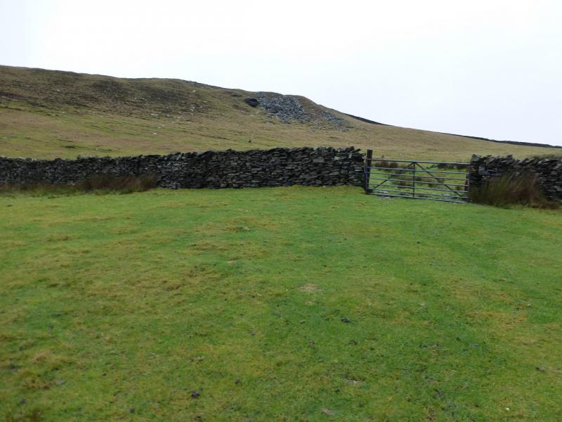
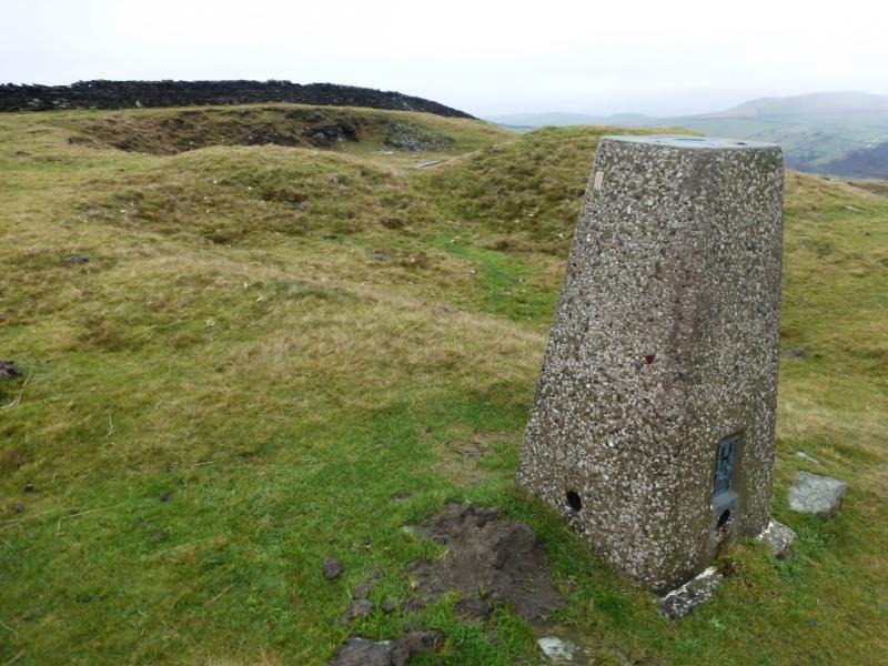
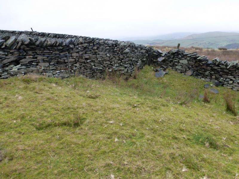
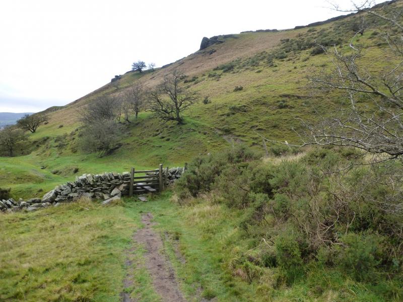
(1) From the centre of the village (where the shops are), walk towards Chapel-en-le-Frith to the obvious right hand bend. Go straight on here, leaving the main road, and cross the railway bridge (station off to the left). Almost immediately, reach a T junction. Turn left. This is the road up to Dryclough. Walk up the moderately steep road, around a right hand bend then past Dryclough Farm (on the right and signed). About 300 m further, a sign, up the bank on the right, gives one access to the hill side via a stile. Once across, go left and up, more steeply, aiming for the gap in the wall above. Pass through this and continue to the wall ahead; avoid drifting left on a faint path. At the wall, go right and follow an almost level track which crosses the wall further on. The track fades away but continue in roughly the same direction until a crag is seen ahead and to the right. Continue to a gate through a wall. Pass through then head up left then right to reach the top of the stony area seen from the gate when the trig point should be seen a few metres further. Note that this trig point is well hidden on the approach and not seen from most directions but it does mark the highest point on Chinley Churn, 451 m. There is another track to the right of the trig point.
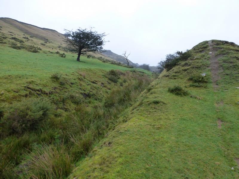
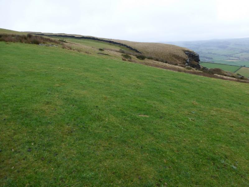
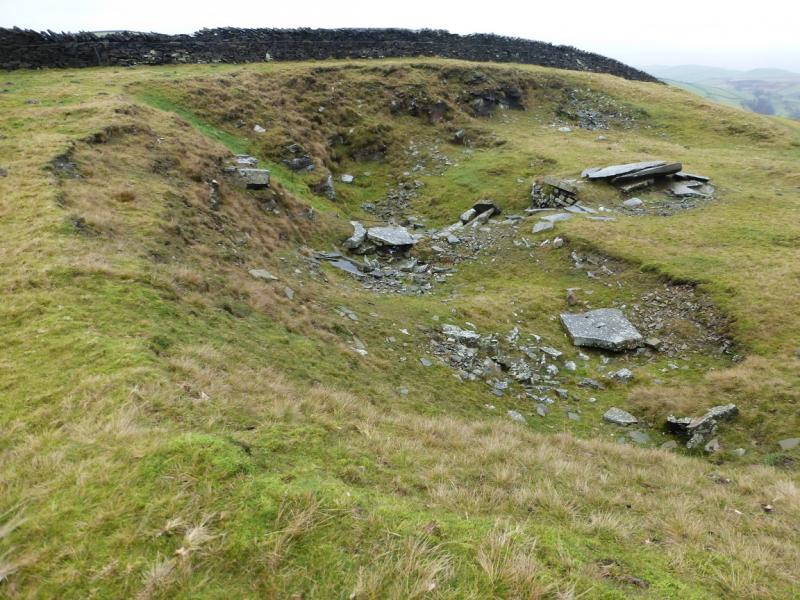
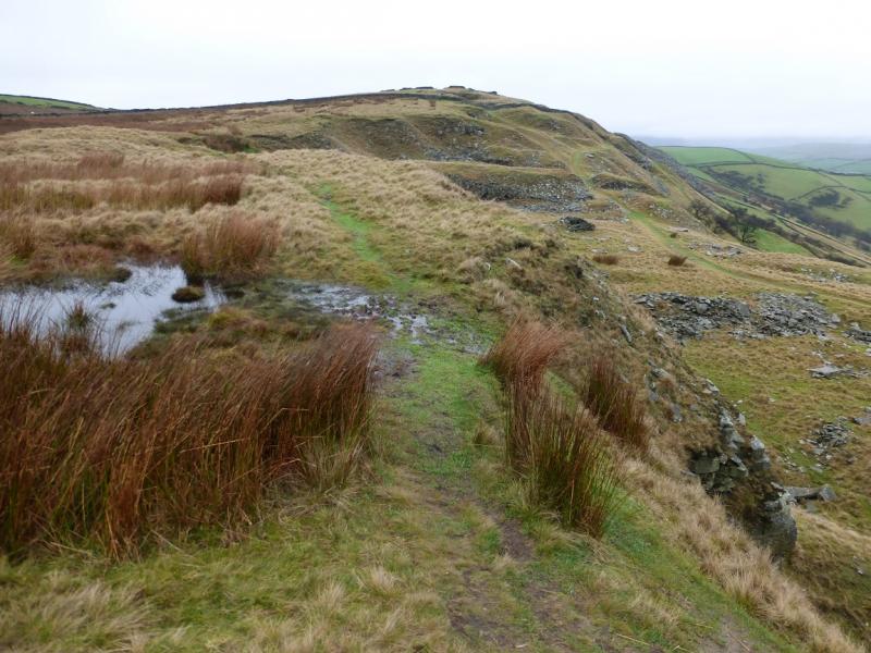
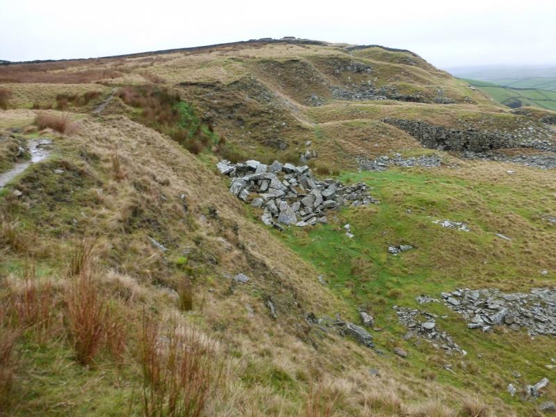
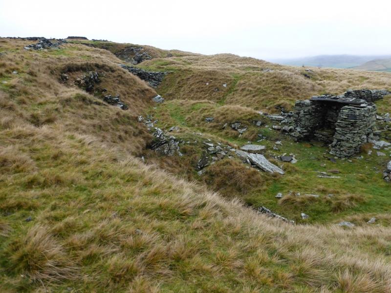
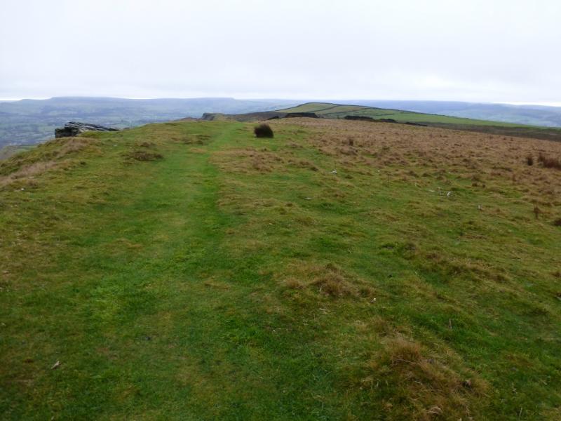
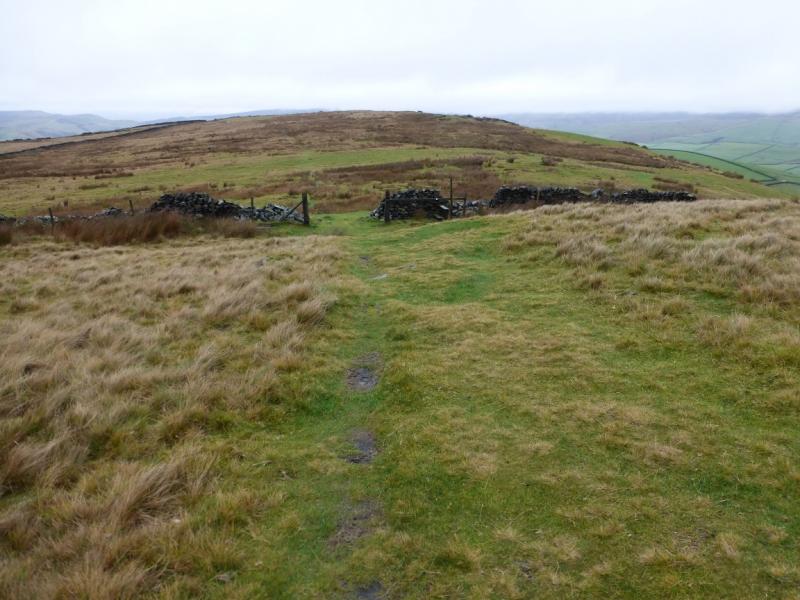
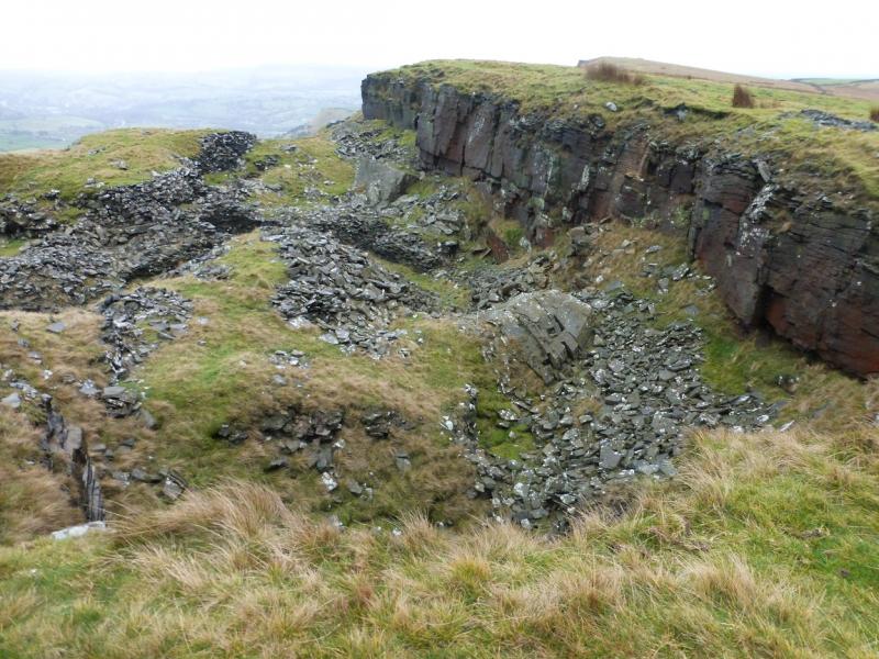
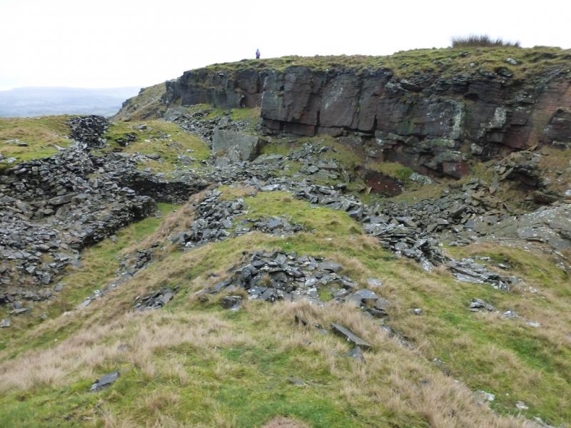
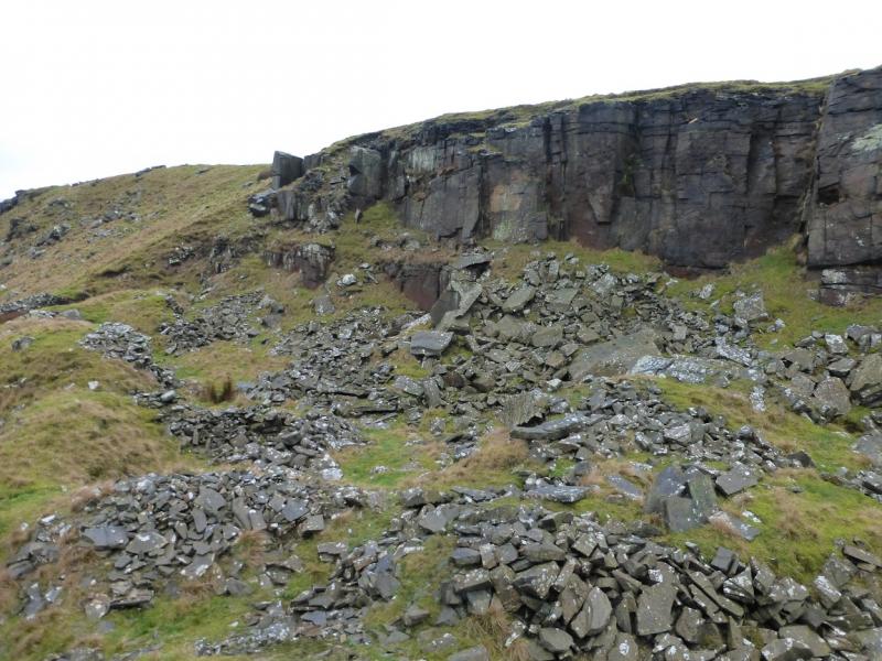
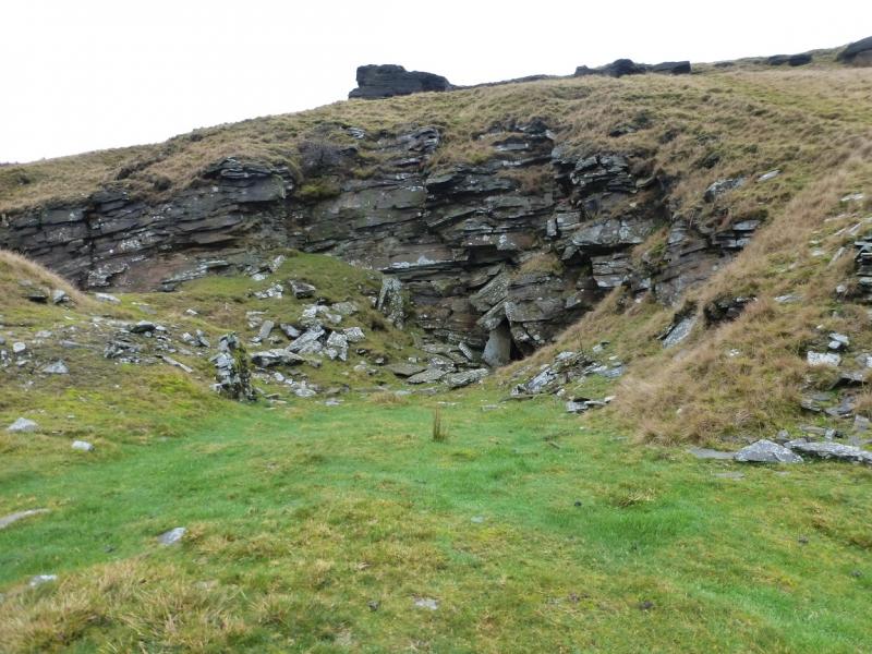
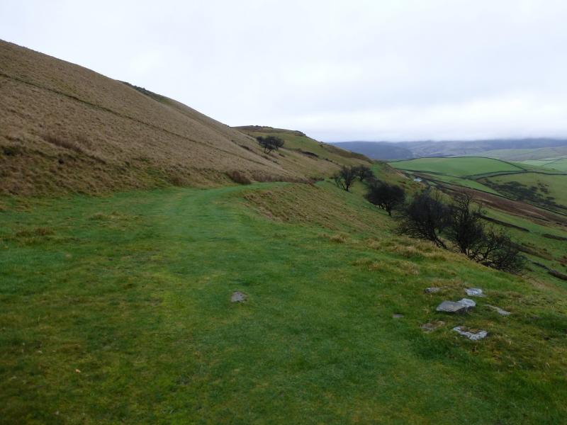
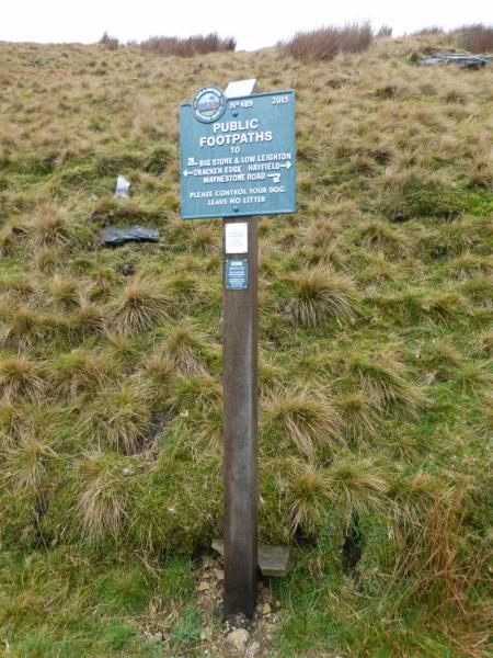
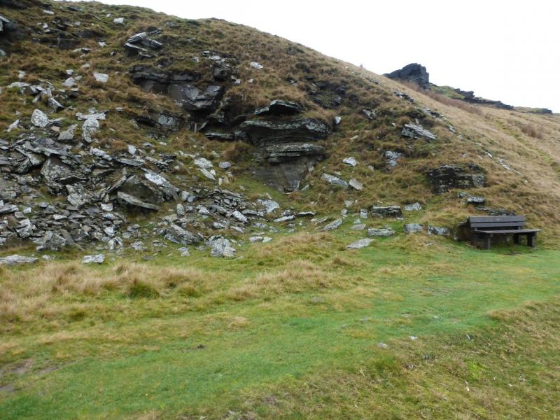
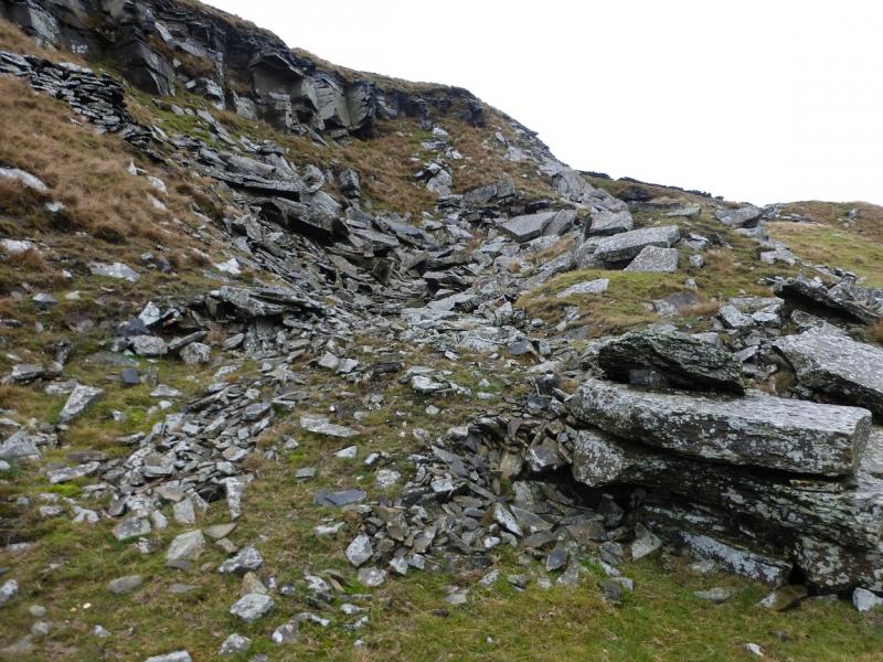
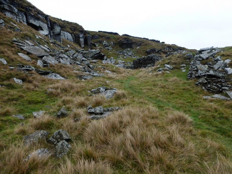
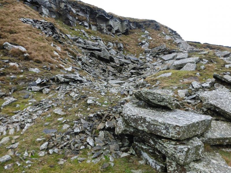
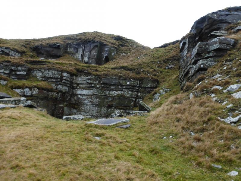
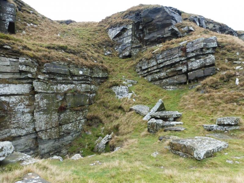
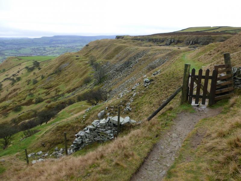
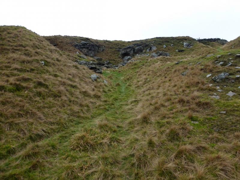
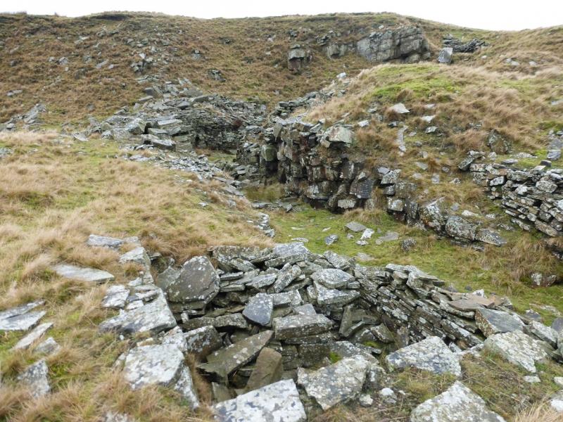
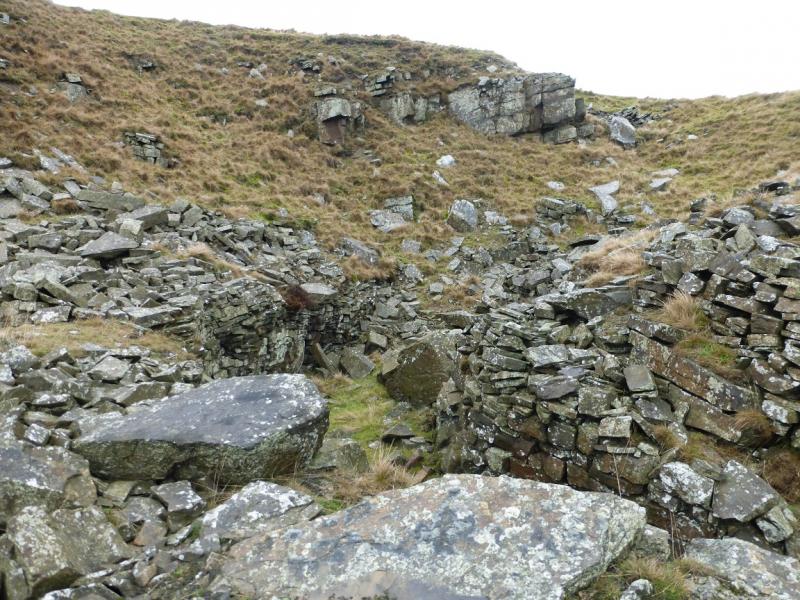
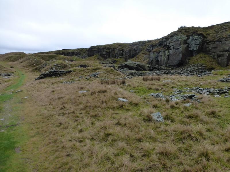
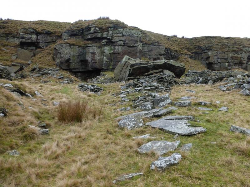
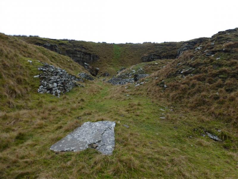
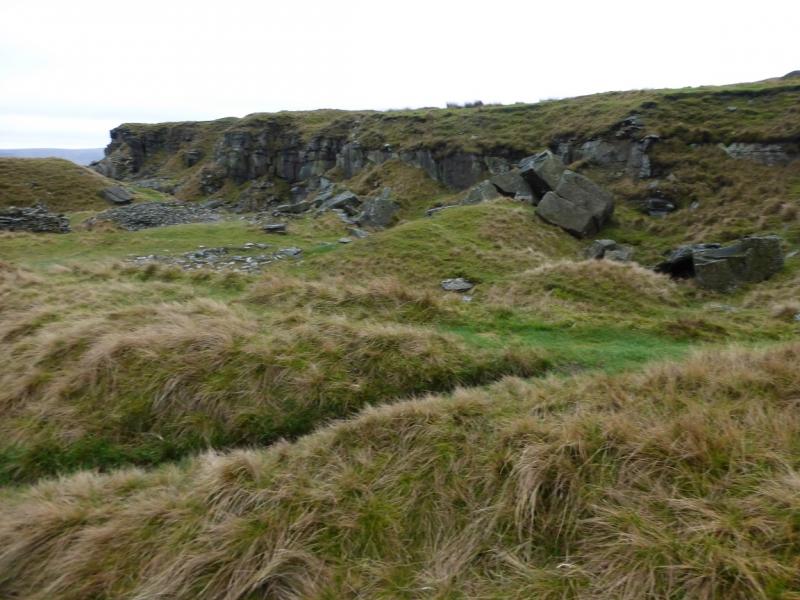
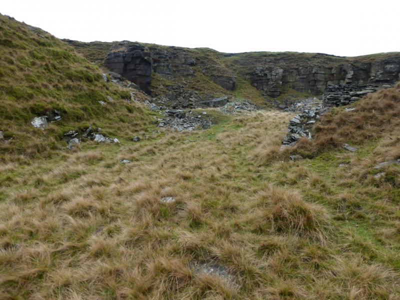
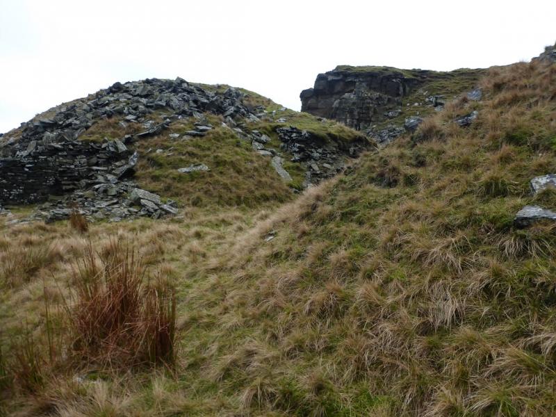
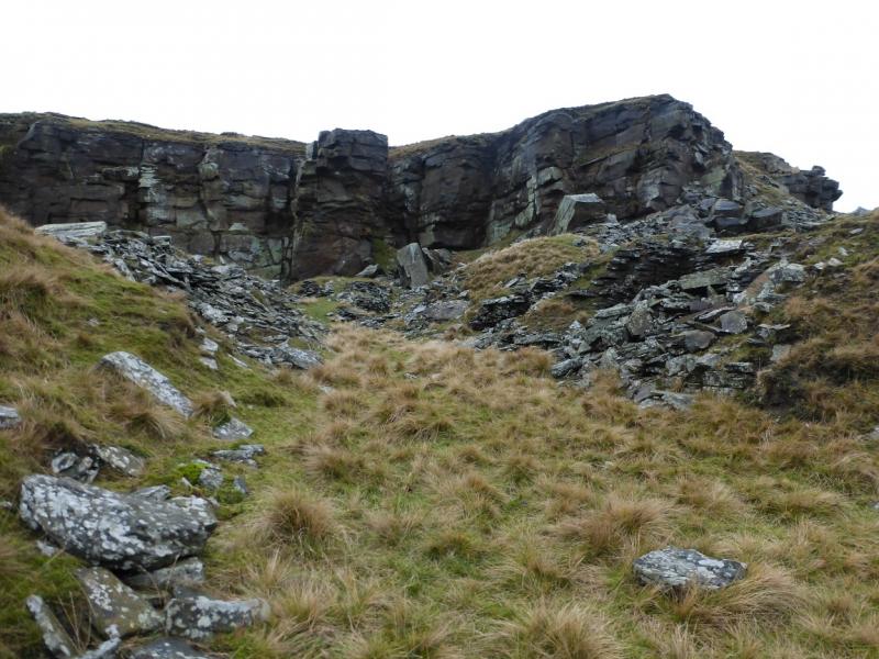
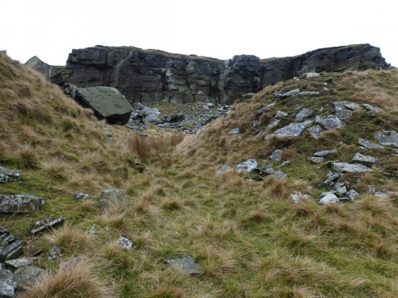
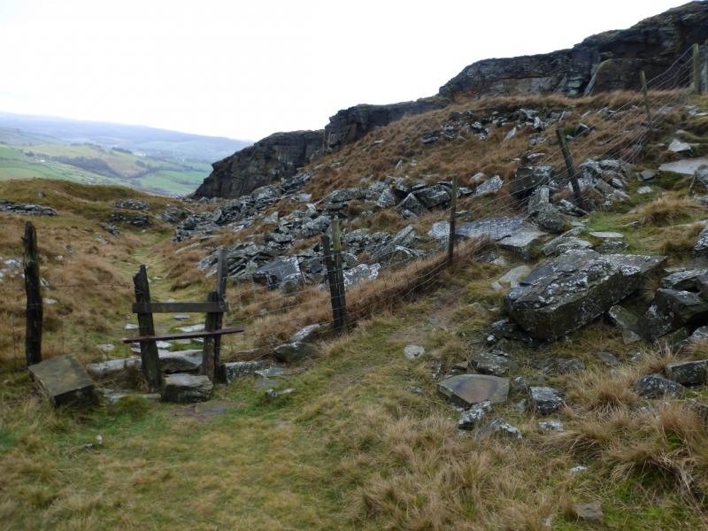
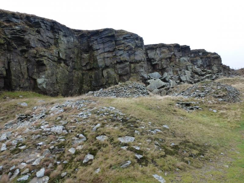
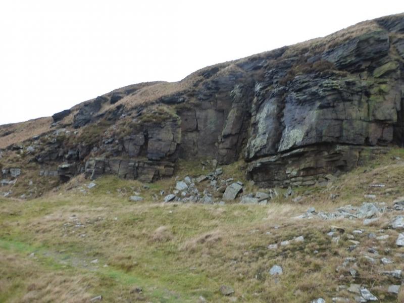
(2) Follow the track which eventually takes one into a closed and walled field before fading away. Continue along the side of the wall to the far corner where the wall is slightly broken and easiest to climb over here. (The only way to avoid climbing over this wall is to retrace from the trig point to the gate and look for a way on to the top of the edge path. This will mean losing and regaining height.) Once over the wall, follow it, staying close to the wall, until an easy way can be seen across the rough grass to the path on the edge which should be clearly visible. Follow the edge path north without difficulty. After just over a kilometre, the path goes through a very narrow gate. Do not pass through but turn back, still on the edge, to the first quarry recess and descend a faint path, roughly SE, towards a wall leading to the Red Mires track below. The track leads to the main path which generally heads S below the rocky edge. Follow the main path, with plenty of opportunities to explore the rocky edge at close quarters, until it splits near to the S end. Take the right, curving, fork which gains a little height then continues in the same vein. Eventually, the rocky edge runs out and the path descends down to join the Dryclough road at the earlier point of entry. Walk back down the road to Chinley.
Notes
(a) This walk took place on 16th December, 2015.
Photos - Hover over photo for caption. Click on to enlarge. Click on again to reduce.