Get Lost Mountaineering
You are here: England » Peak District » Black Hill, Lad's Leap, Laddow, Longdendale, Ravenstones & Dovestone Reservoir
Alphin Pike, Wimberry Stones (Indian's Head) & Stable Stones from Dovestone Reservoir
Alphin Pike, Wimberry Stones (Indian's Head) & Stable Stones
from Dovestone Reservoir
Start/Finish
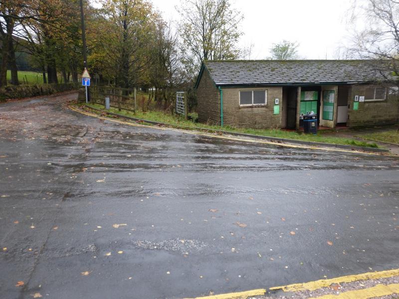
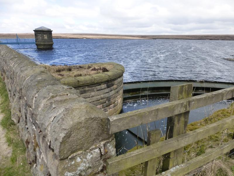
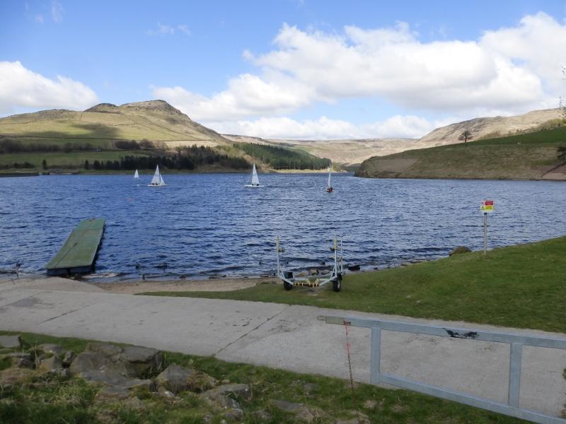
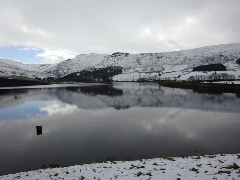
Dovestone Reservoir car park (Pay and Display; £1.30 all day in 2015) at SE 013 037. It is at the end of Bank Lane which is a minor road off the A635 Mossley to Holmfirth road which starts about a mile to the east of Greenfield. The car park is signed from the main road and is just below the dam. If coming from Holmfirth, it is about a mile after Binn Green car park.
Distance/Time
11 km About 3 hours
Peaks
Alphin Pike, 469 m, SE 003 028.
Stable Stones Brow “summit” 495 m, SE 021 022. OS Outdoor Leisure 1: Dark Peak.
Introduction
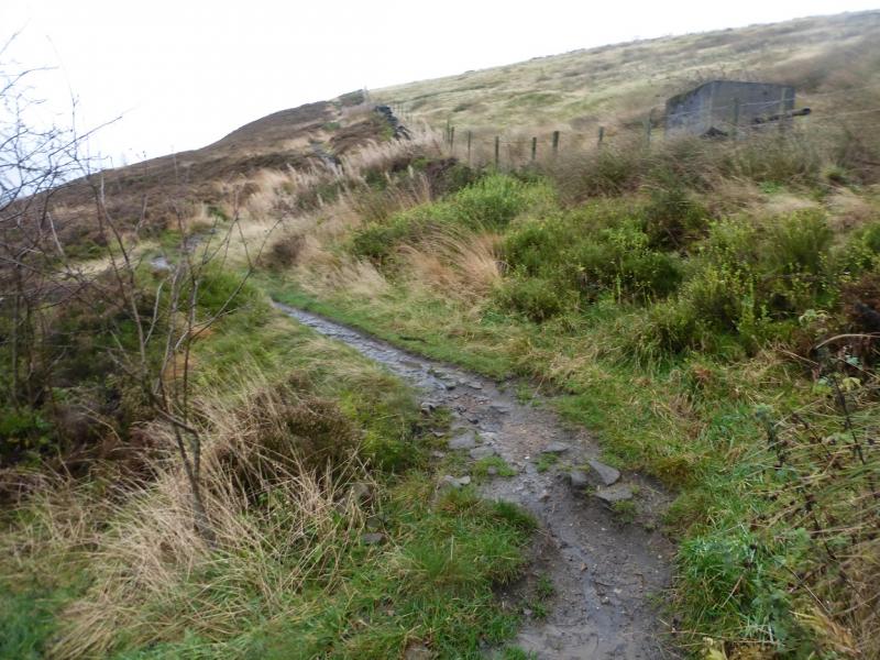
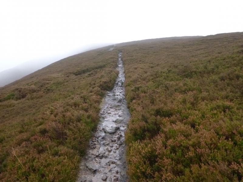
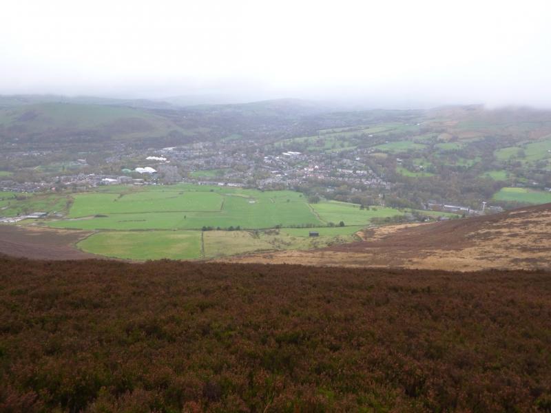
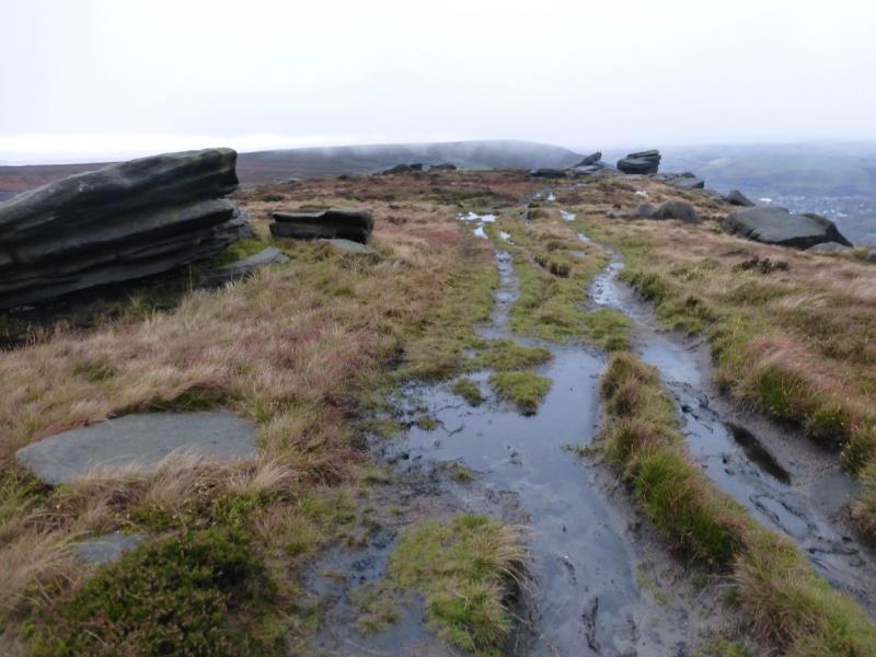
This is a fine and short ridge walk, which is rocky (no difficulties) in a few places. It is easily accomplished on a short winter's day. In good weather there are good views across the adjacent moors but especially to Pots and Pans Stones (obelisk hill), Alderman's Hill and Dovestone Rocks. There is a path, track or road all the way. The ground can be boggy in places. There is a toilet block and boot washing facilities at the car park.
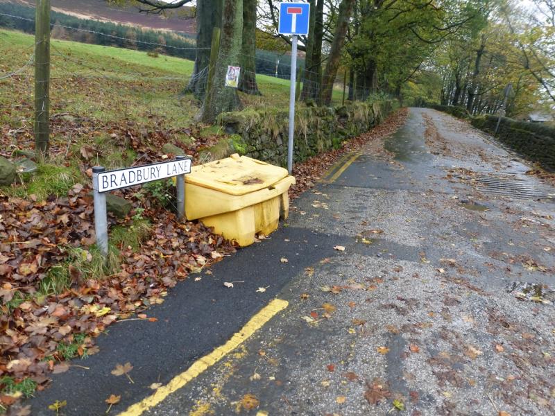
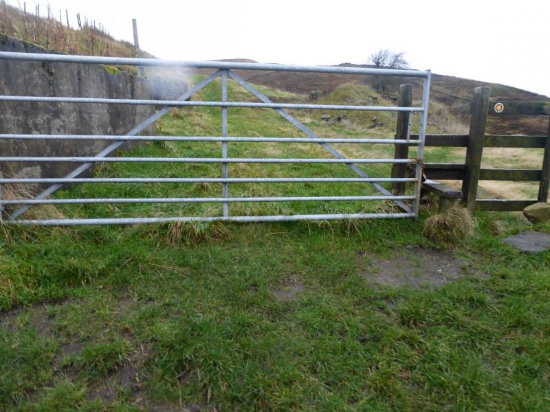
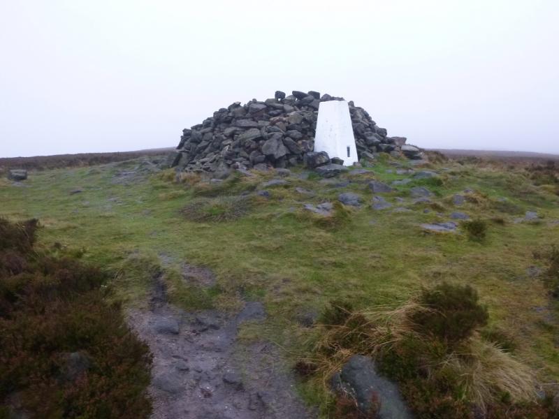
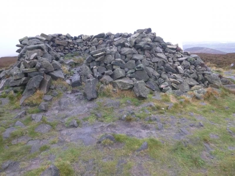
(1) Walk W along Bradbury's Lane which starts by the toilet block. After the row of houses, it becomes a path which can be a stream in wet weather. Further on, it becomes a tarmac road again at some houses. Continue for about 800 m to what looks like a track going left just after White Lee (on the right). The track becomes a path very quickly and soon leads to a gate and stile. Just before the gate, a path goes left following a wall. Follow this path which climbs gently to reach the white trig point by a shelter cairn which is the “summit” of Alphin Pike, 469 m. In reality, it is just the start of the ridge known as Slack Head Brow.
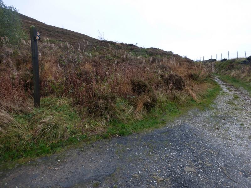
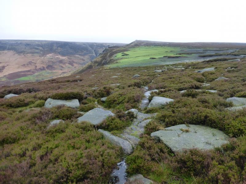
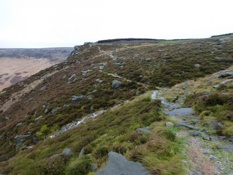
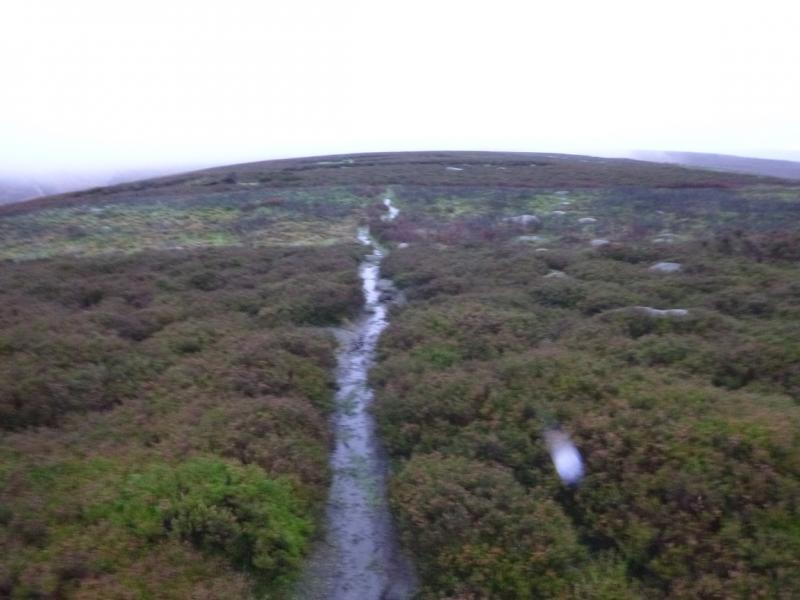
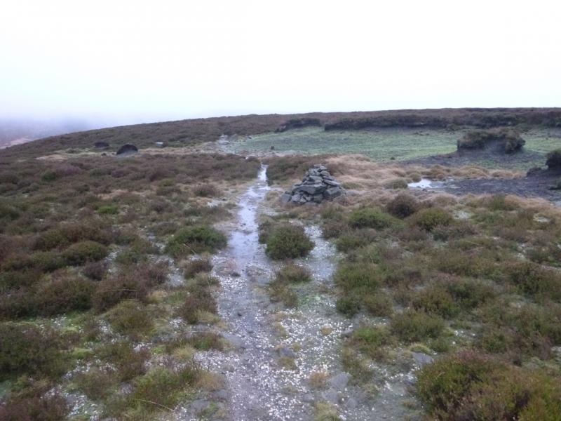
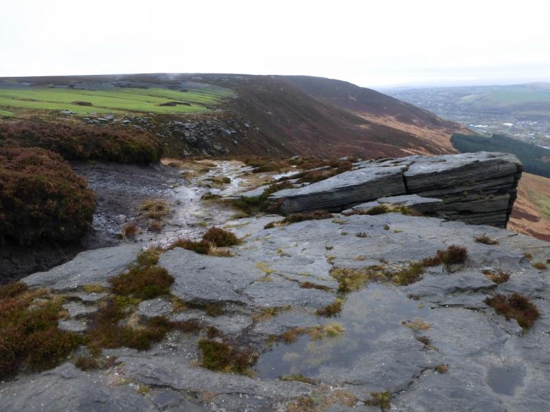
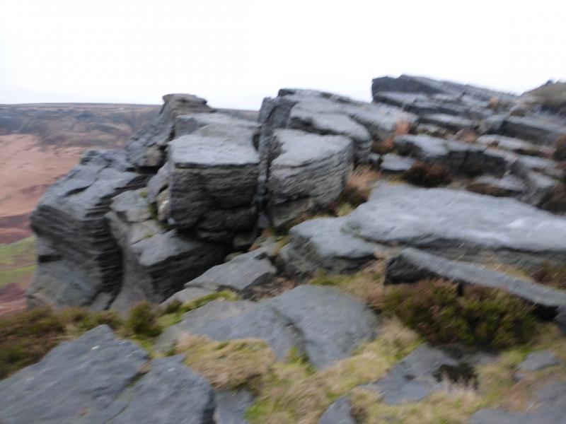
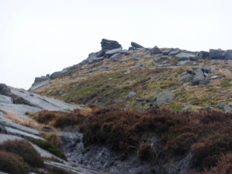
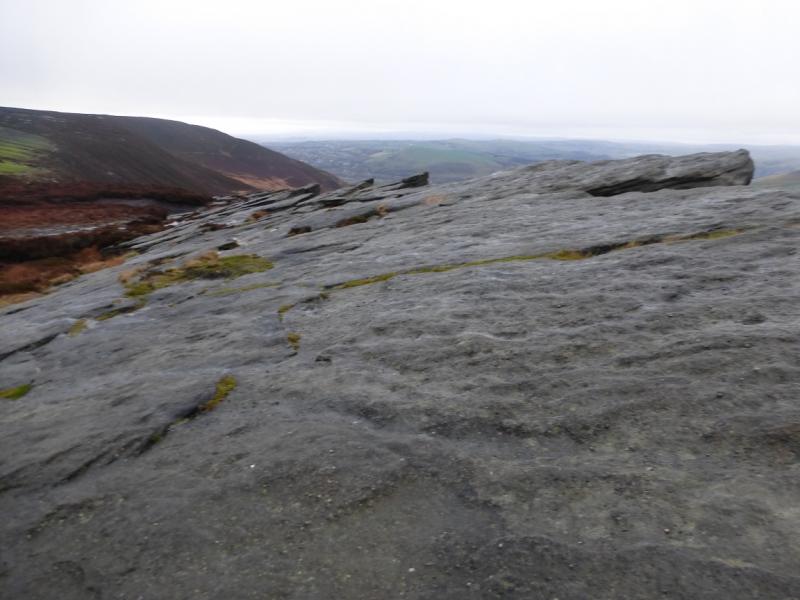
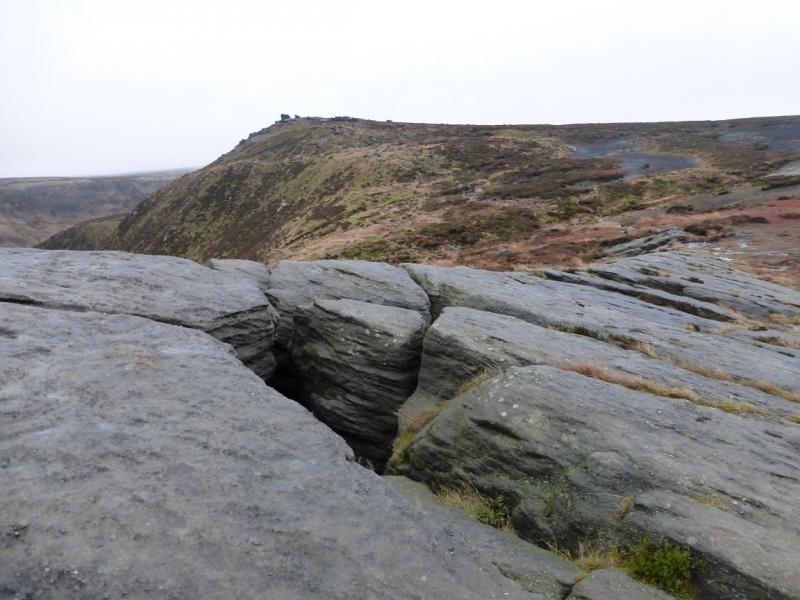
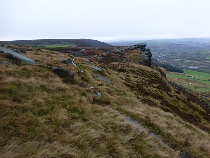
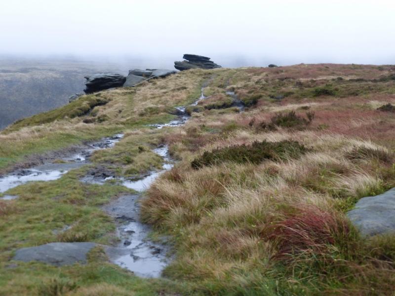
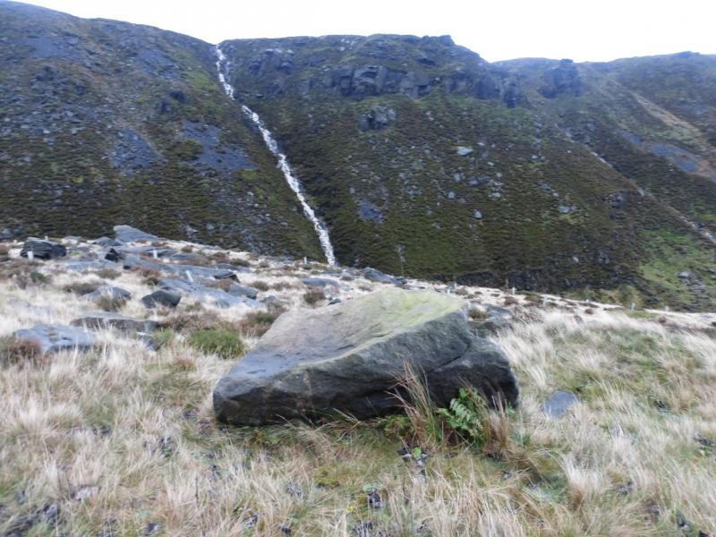
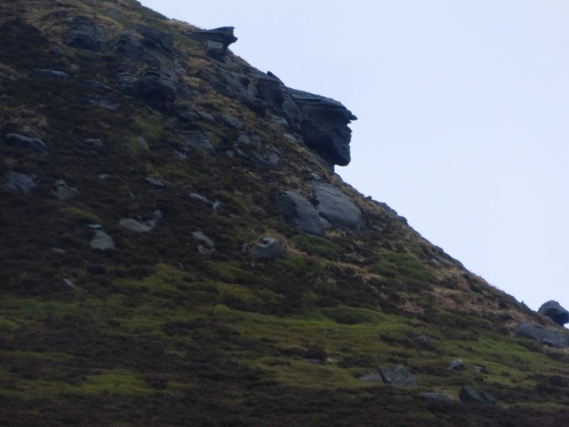
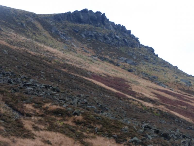
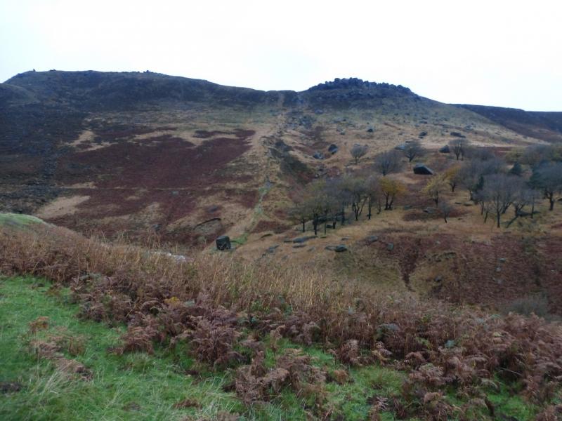
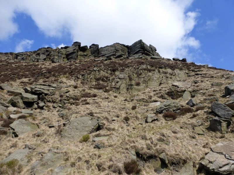
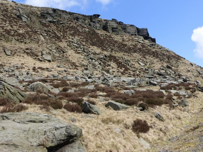
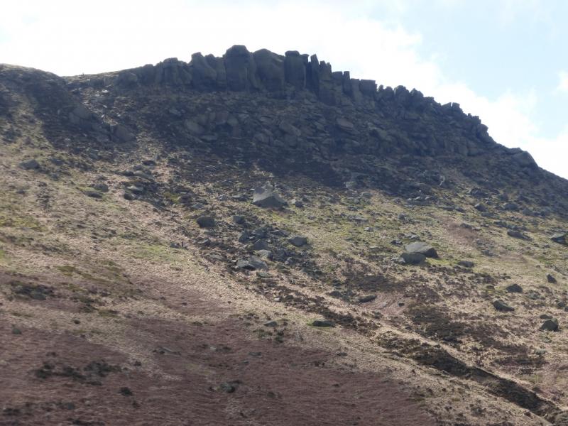
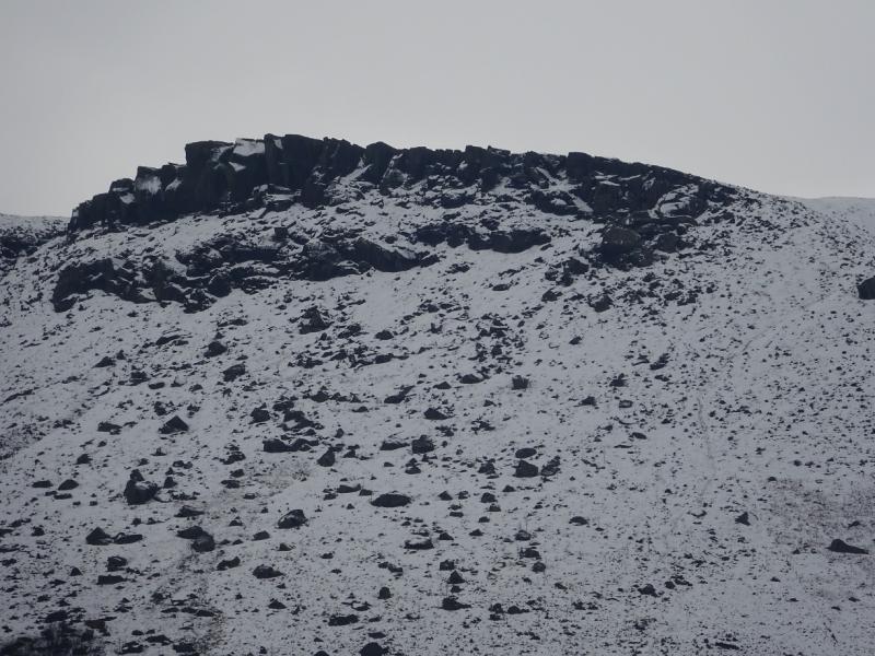
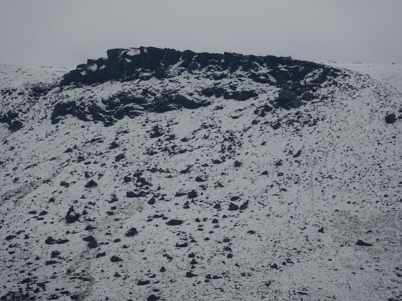
(2) The main path goes along the broad crest and is marked by occasional cairns or one can follow another path nearer to the edge. Both paths appear to converge after about 1 km after which the edge can be followed to Wimberry Stones (Indian's Head) which are like sloping broken slabs with cliffs below. The Indian's Head is not obvious close up. Many people do not realise that the Indian's Head is lying down and not upright. It is best seen from the far (main road) side of Dovestone Reservoir where the nose is reasonably obvious and the chin is at the left hand end. The right hand end is the feathery headdress. Continue on and up towards the next rise where the path splits. The crest path goes up to a level section where the highest point seems to be near a boulder which is Stable Stones Brow “summit” 495 m. There is no cairn. The edge path goes below this highest point.
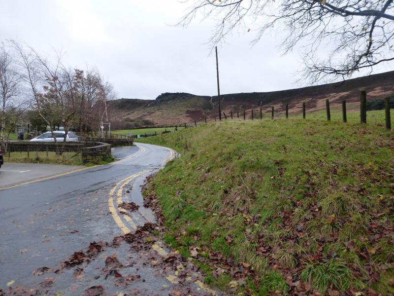
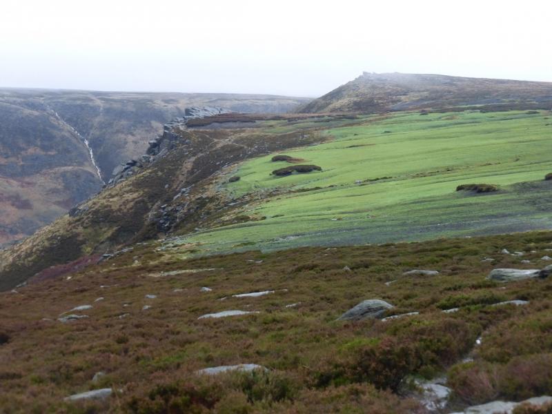
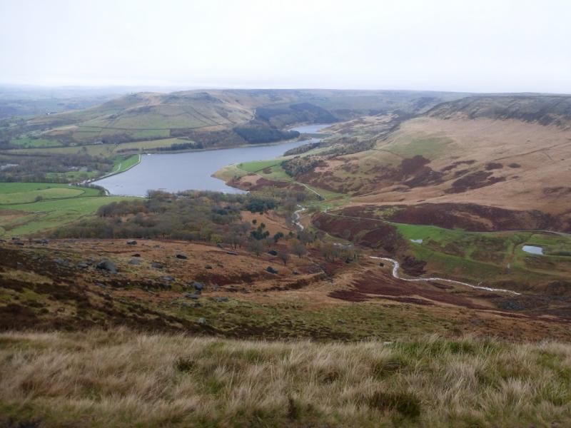
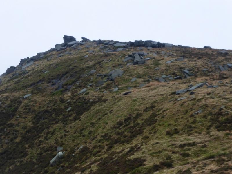
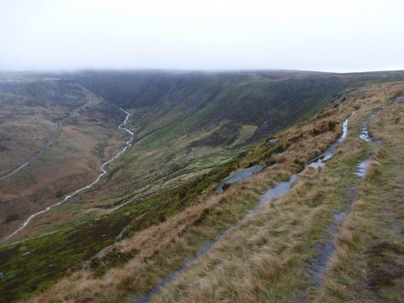
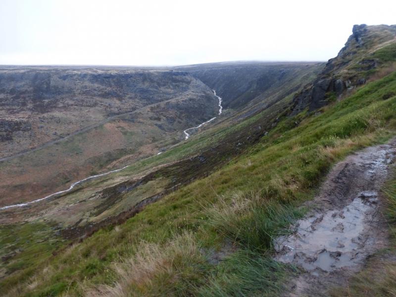
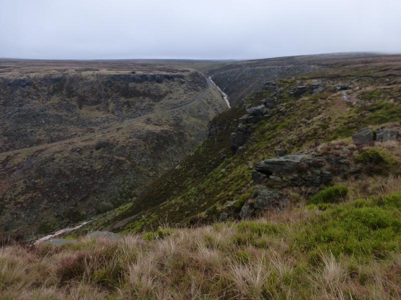
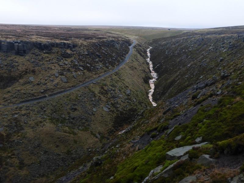
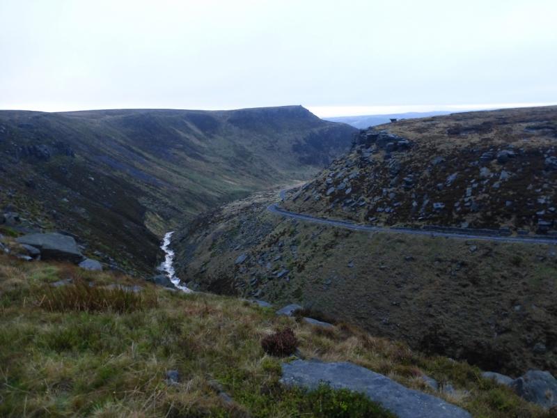
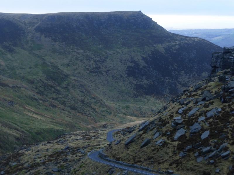
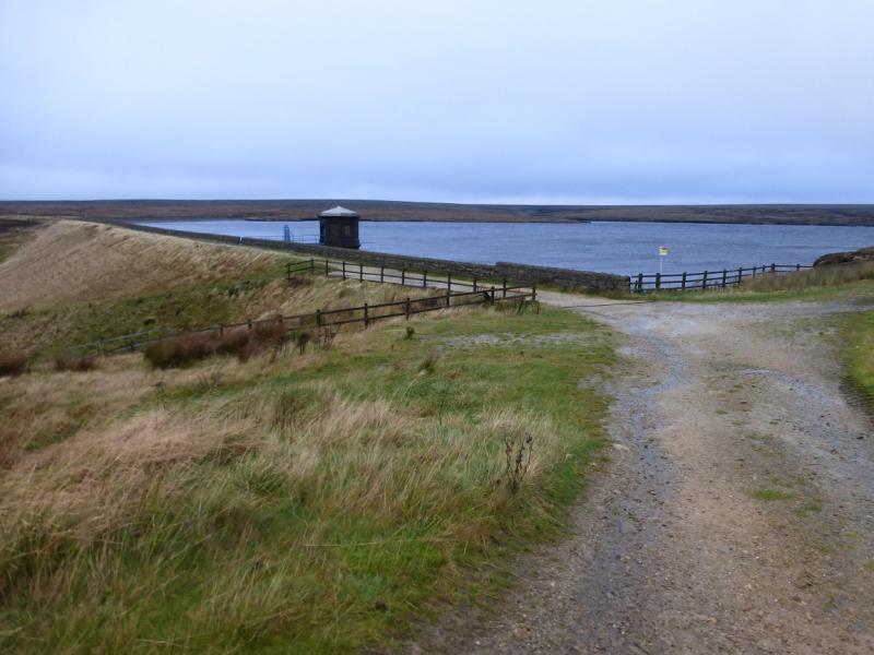
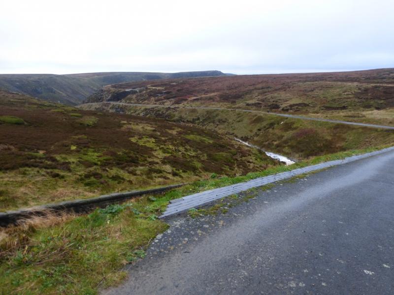
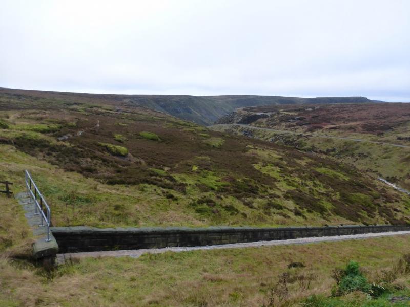
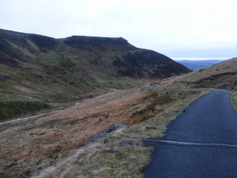
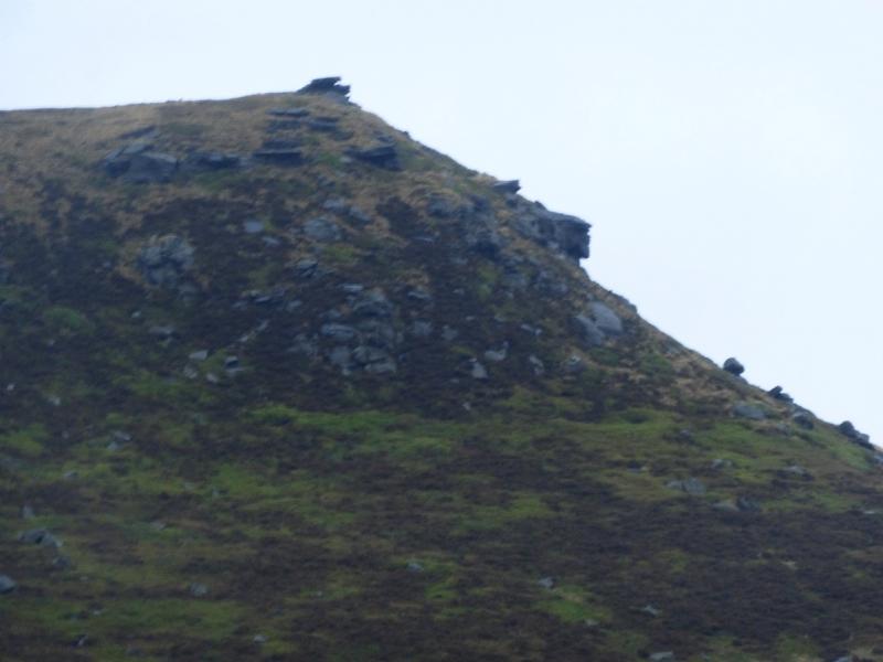
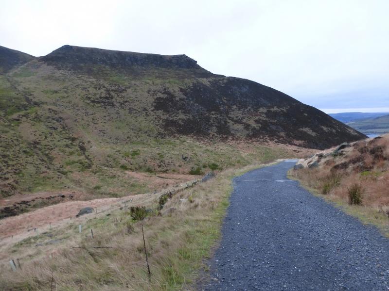
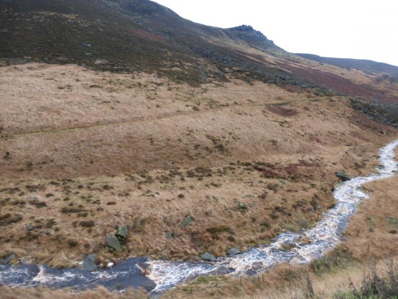
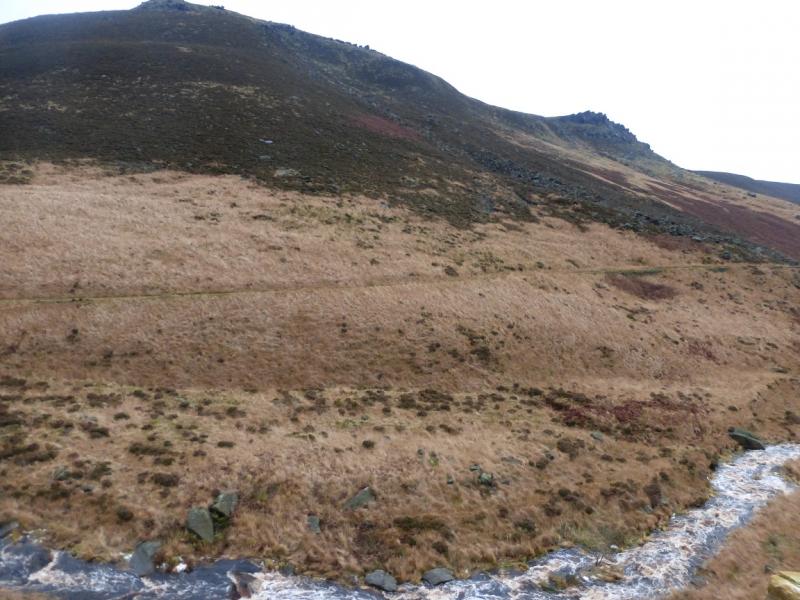
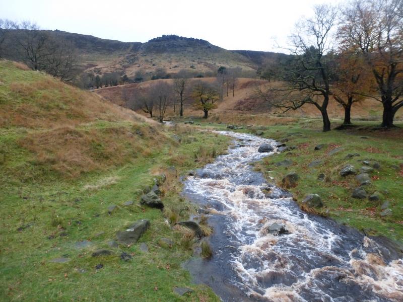
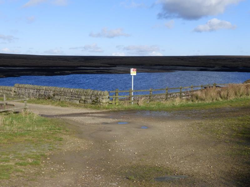
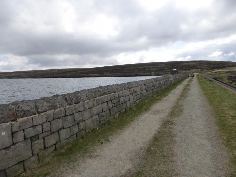
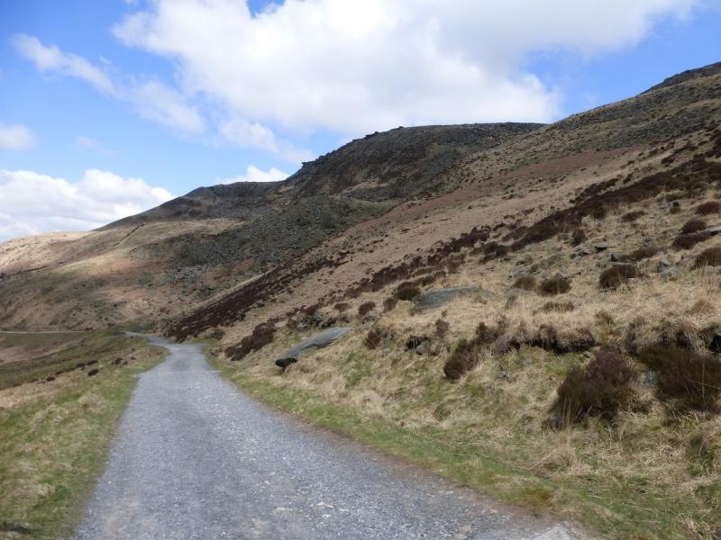
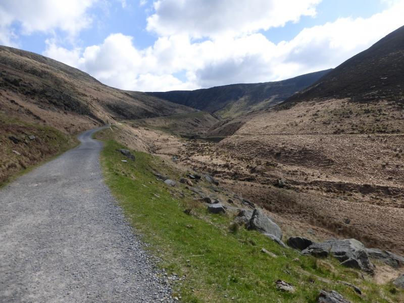
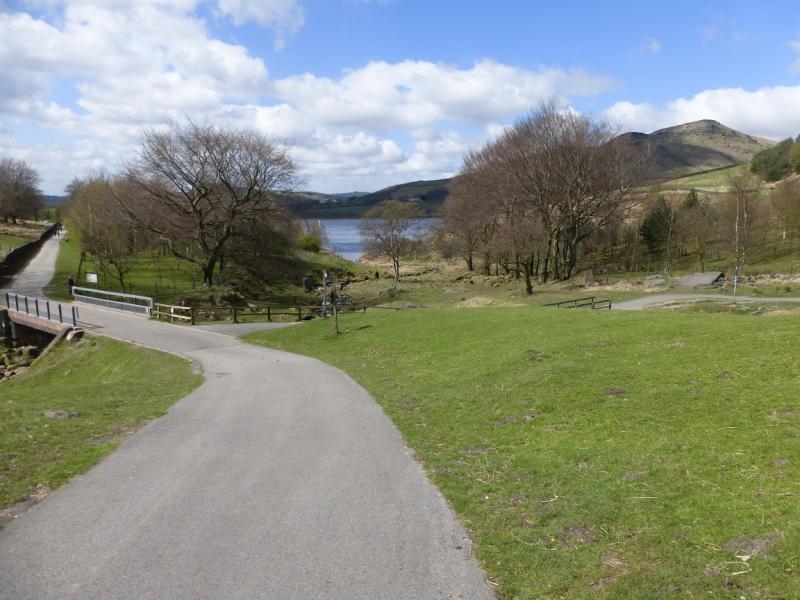
(3) Continue along the edge and, in about 2 km, reach Chew Reservoir just after a large pile of stones. Take the obvious tarmac road down back towards Dovestone Reservoir. Chew Brook has carved itself quite a steep little valley. The descent gives good views of the rocks below the edge walked along earlier. The obvious brow is Stable Stones Brow. As one gets closer, the outline of Indian's Head becomes more obvious with the best view being about 300 m before a gate on the track. A good zoom will be needed to get a close up picture. Continue down the track and cross Chew Brook almost at its foot by a road bridge. Walk along the S side of the reservoir back to the start.
Notes
(a) This walk took place on 15th November, 2015.
Photos - Hover over photo for caption. Click on to enlarge. Click on again to reduce.