Get Lost Mountaineering
You are here: Scotland » 10b Loch Eil to Glen Shiel » Fort Augustus to Shiel Bridge including south of Glen Shiel
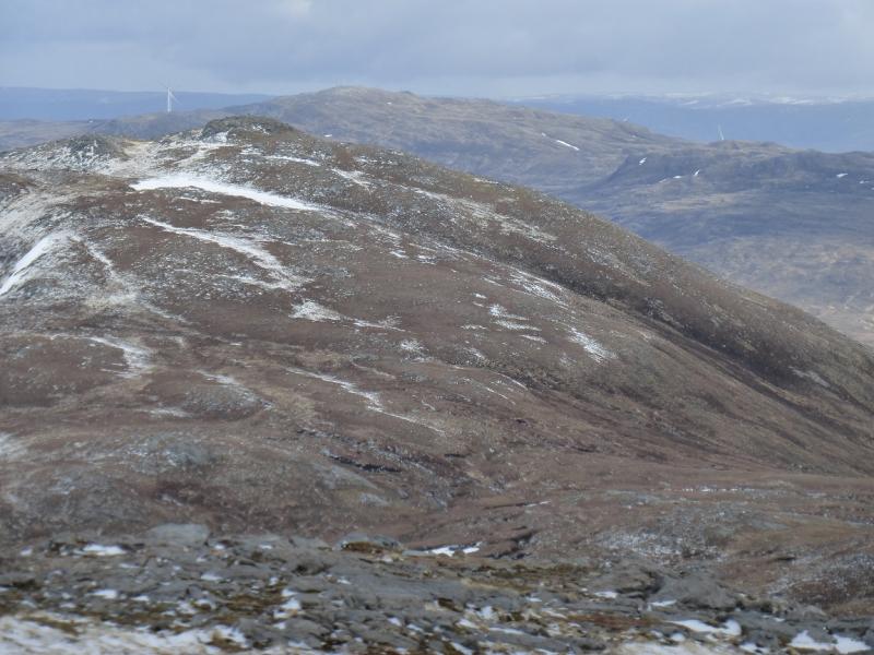
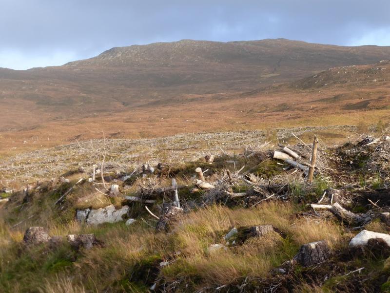
Meall Dubh from near Loch Loyne Dam
Meall Dubh from near Loch Loyne Dam
Start/Finish
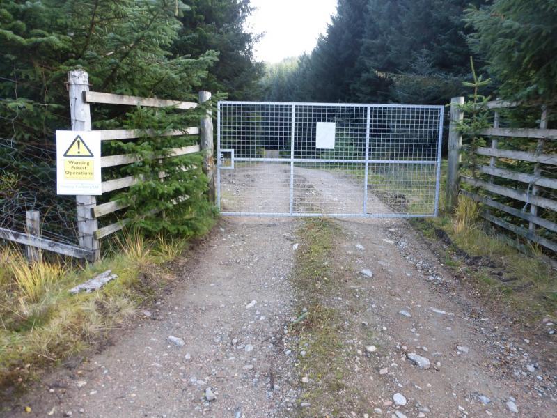
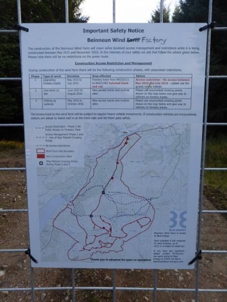
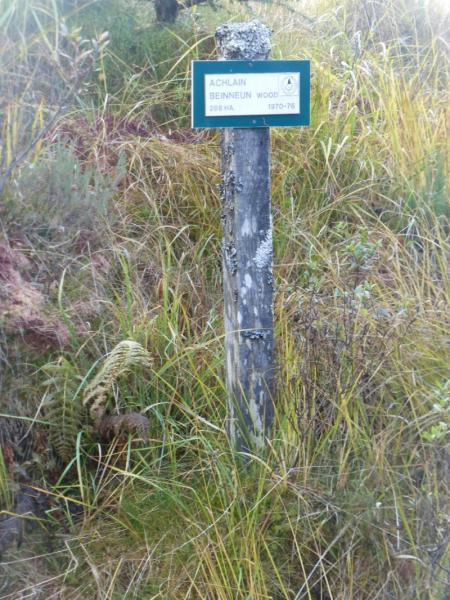
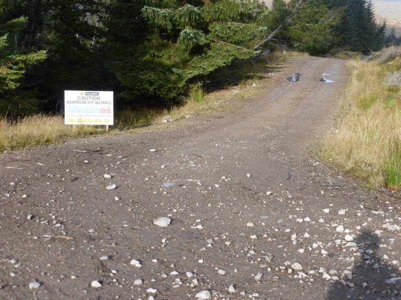
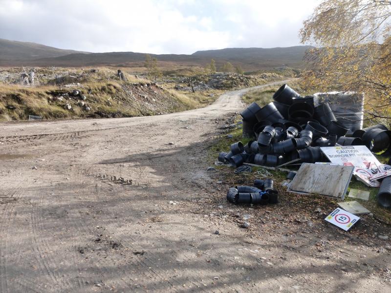
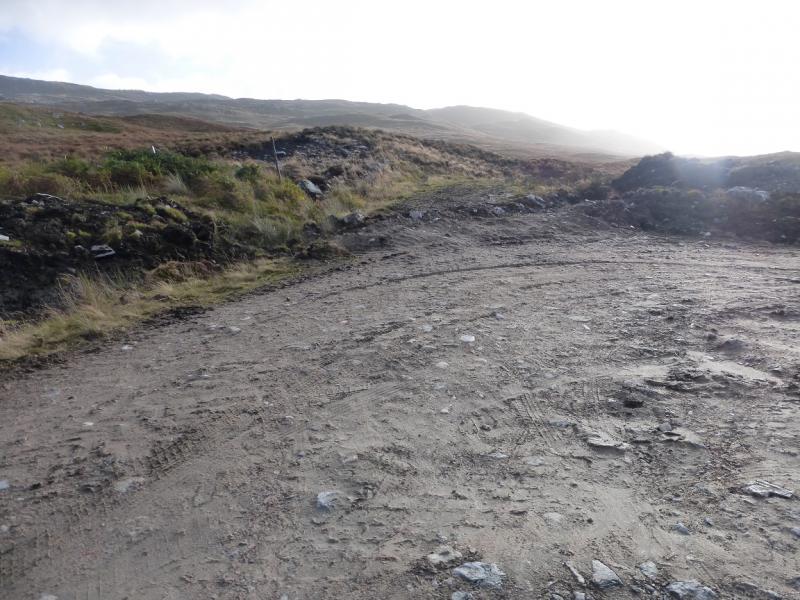
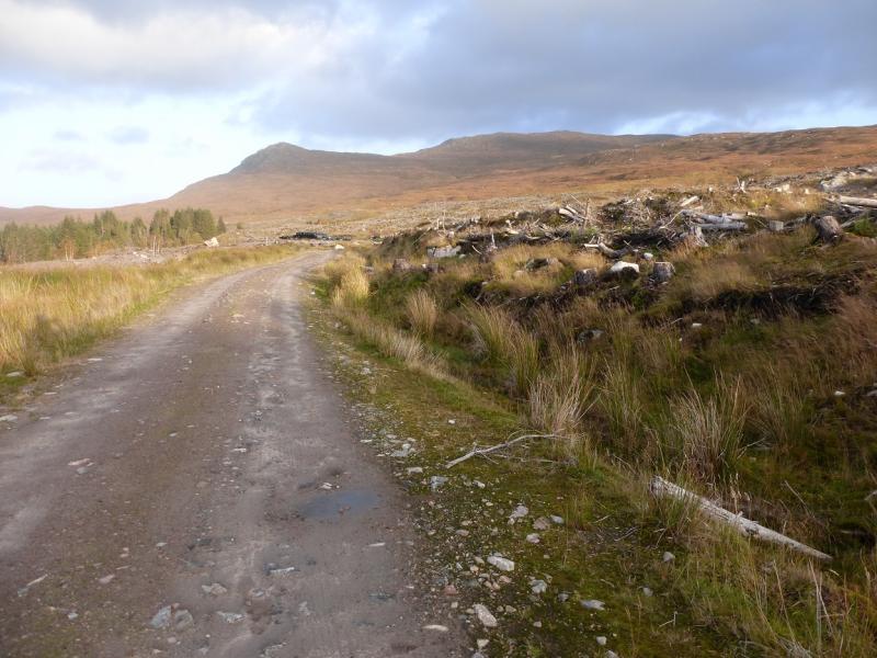
First entrance to large plantation below Loch Loyne Dam but on east side of road. This is most easily spotted if coming from Invergarry on A87. If coming from Morriston Bridge (junction of A87 and A887 from Invermoriston) then this will be the last entrance but the dam is not easily spotted until after the entrance! There are other entrances but this is a definitive hard track, suitable for large vehicles and has a large locked gate beyond which a track leads into the forest. Just inside the gate, and not easily visible from outside, is a small sign on the right saying Achlain Beinnen Wood. Forestry clearing and wind farm construction are going on in 2015 and may continue for some time yet.
Distance/Time
9 km About 4 hours
Peaks
Meall Dubh, 789 m, NH 245 078. OS sheet 34.
Introduction
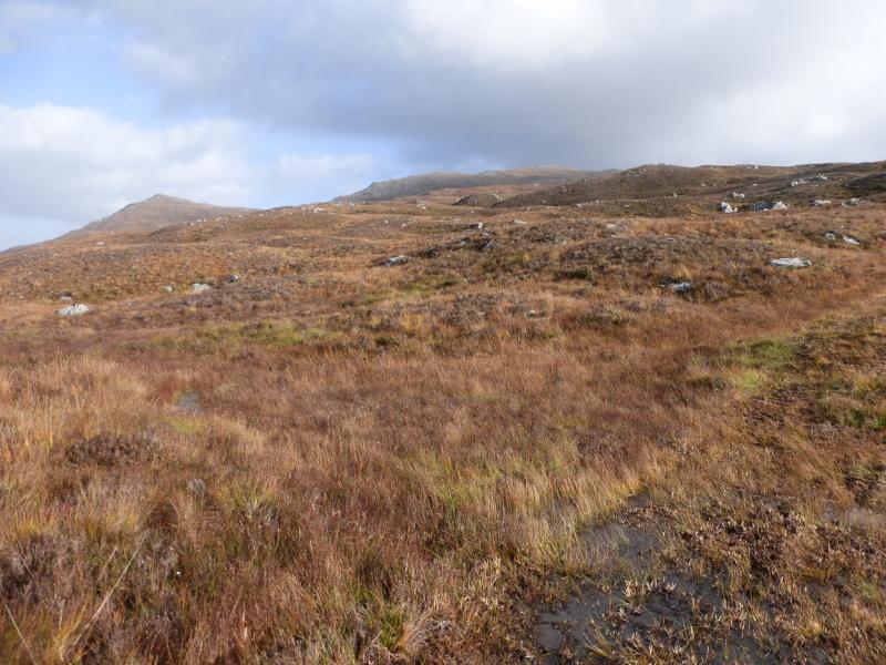
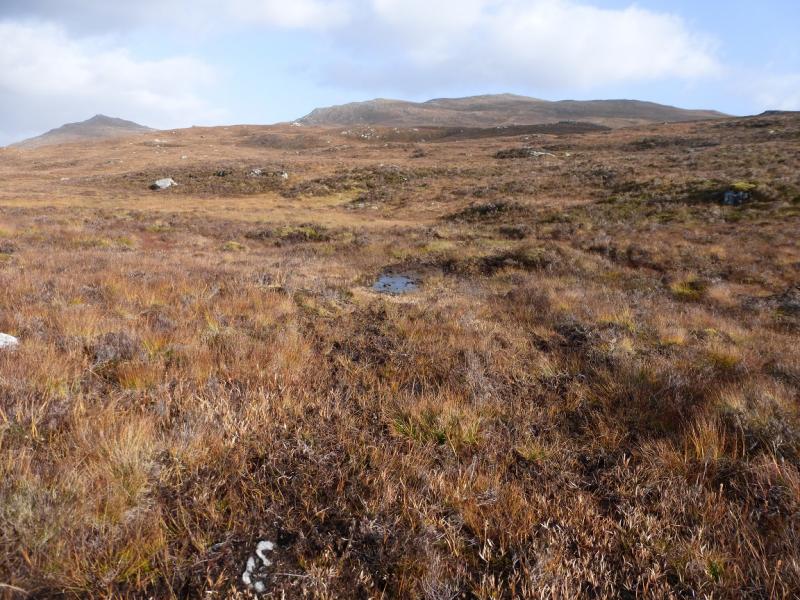
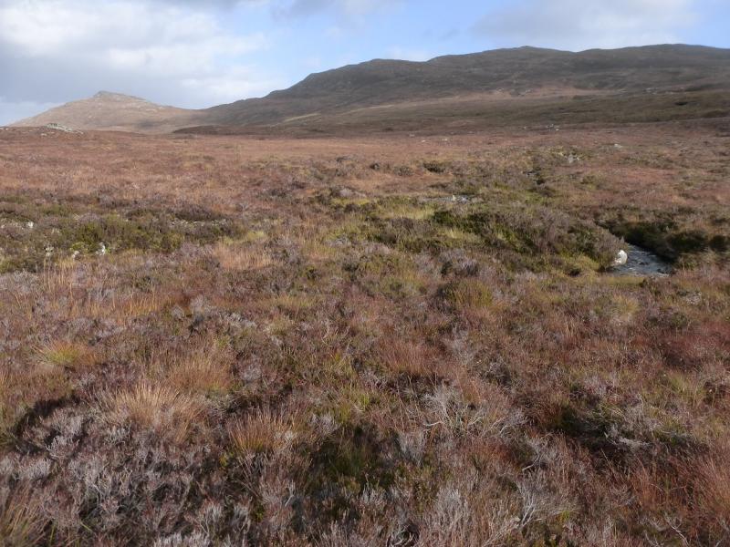
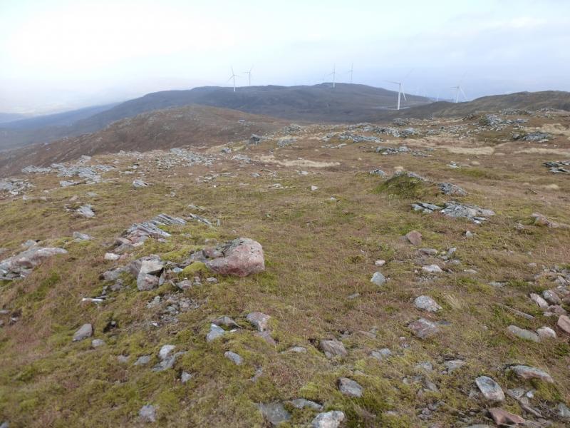
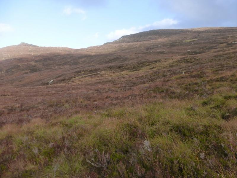
This is a pleasant route which avoids the “deep heather” referred to in the SMC Corbetts guide and still reaches the summit in about 2 hours. Forestry clearing and wind farm construction are going on in 2015 and may continue for some time yet. On 22/102015, active work was near the route but almost all of the clearing around the route is now complete so one would be unlucky to be denied access because of working. Unfortunately, the high gate has to be climbed over as it is kept padlocked. It has mesh fencing which is very difficult to scale but, thankfully, the fence at its sides is easily climbed. On a clear day, view will stretch for miles with Beinn Loinne and Sgurr nan Conbhairean being most prominent but many more hills will be visible. The nature of the hill makes it ideal to ascend on a clear winter's day and practice one's winter skills in relative safety. Some of the ground is wet and boggy but not too bad.
Route
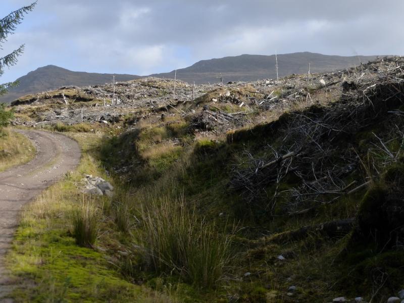
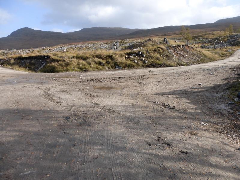
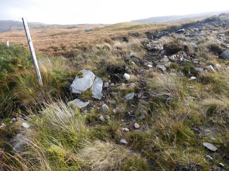
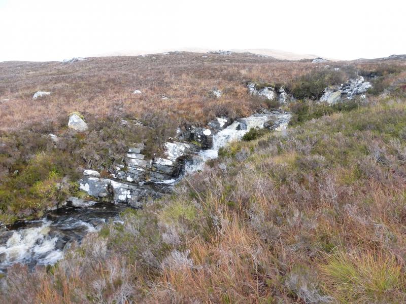
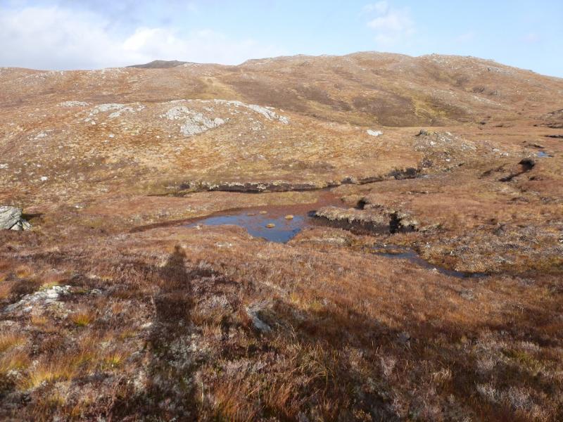
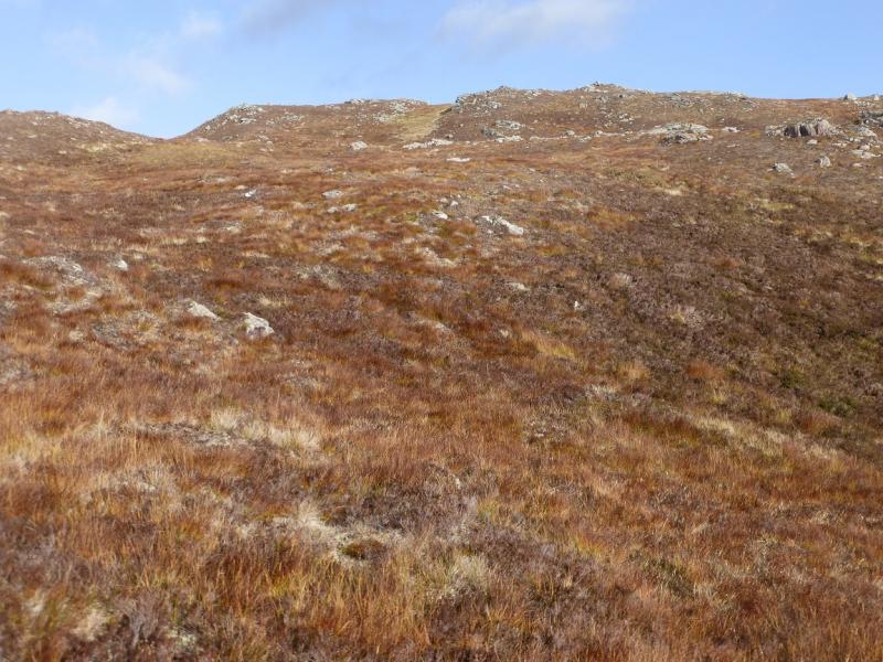
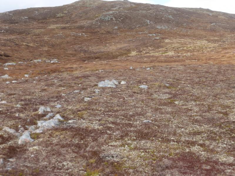
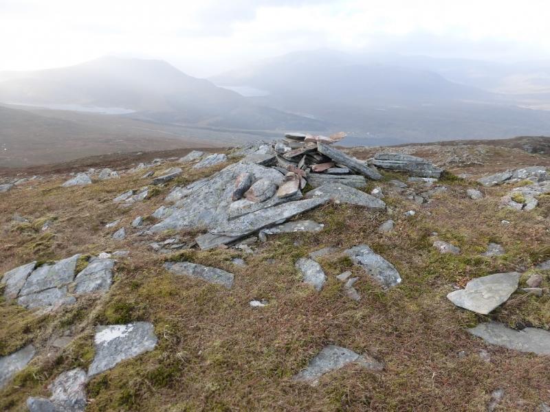
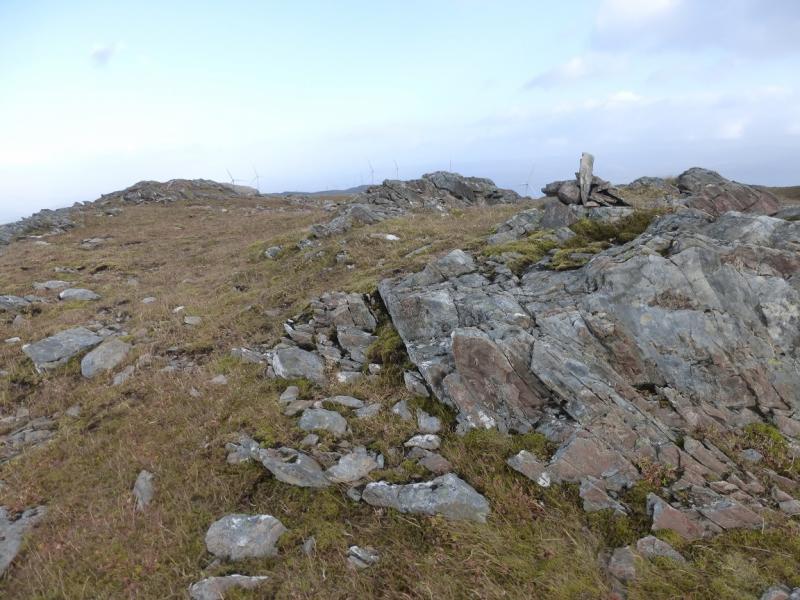
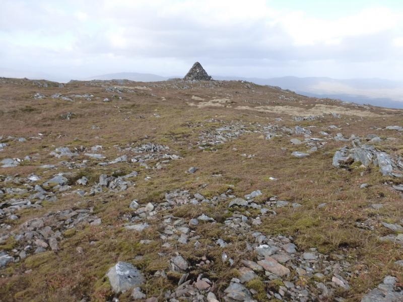
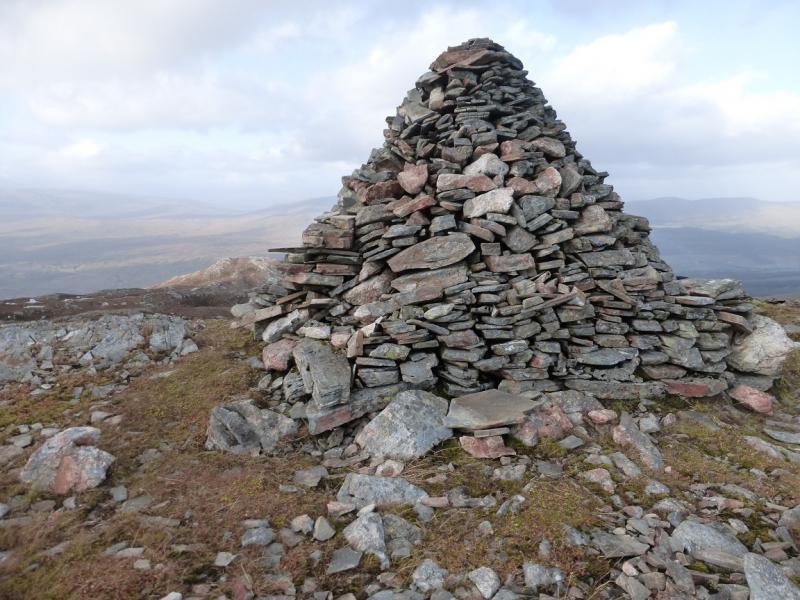
(1) Follow the track inside the gate. Ignore the first right turn track and continue for well over 1 km reaching an area where the forest has been felled on the right. Ignore a track forking left then soon reach a track going right. On 22/10/15, many construction materials were stacked here. Follow the track up keeping an eye on a fence to the left which is slowly converging with the track. When it does, leave the track and strike uphill on a faint path. This soon disappears but there is an ATV track which, if found, helps a lot. Follow the track up. It is roughly heading for the bealach (col) between Meall Dubh and Carn Tarsuinn (NE end of Clach Criche). Higher up, the track goes left a long way then resumes its upwards line. The main stream is met and this also helps. The bealach is somewhat complex but once reached, head roughly NE up easy slopes to soon reach the small summit plateau. There are three cairns: one massive, one medium and one small which form an equilateral triangle of sides about 60 m. The small cairn seems to be the highest point of Meall Dubh, 789 m.
(2) Retrace the outward route. However, it is possible to take a more direct line but this will go through some deep heather although there isn't too much of it. Drift left lower down to avoid the recently felled area which will be very difficult to cross. It is best to aim for where the fence met the track on the outward route.
Notes
(a) This walk took place on 22nd October, 2015.
Photos - Hover over photo for caption. Click on to enlarge. Click on again to reduce.