Get Lost Mountaineering
You are here: Scotland » 10b Loch Eil to Glen Shiel » Fort Augustus to Shiel Bridge including south of Glen Shiel
Sgurr an Doire Leathain, Sgurr an Lochain & Creag nan Damh (South Glen Shiel Ridge Western End) from A87, 3 km west of Cluanie
Sgurr an Doire Leathain, Sgurr an Lochain & Creag nan Damh (South Glen Shiel Western End) from A87, 3 km west of Cluanie
Start/Finish
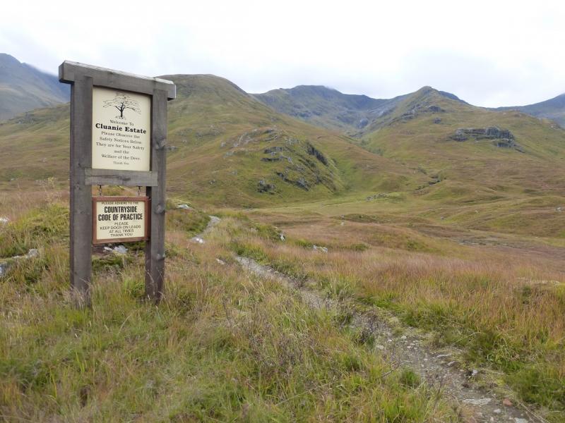
The Cluanie Inn is a well known landmark at the western end of Loch Cluanie on the A87 from Invergarry to Kyle of Lochalsh. There is a free car park opposite the inn. If coming from Inverness, take the A887 from Invermoriston which joins the A87 at Moriston Bridge. The start is about 3 km west at NH 043 114 where a stalkers' path leaves the road behind a metal crash barrier. The finish is 8 km W, down the A87, from this point. This could leave about 2 hours of uphill road walking at the end of the day. With two cars this goes away but it is also possible to park at the finish and get the bus up to the start. On 15/10/15, the bus passed the finish point at about 0915 and the fare was £5.30.
Distance/Time
14 km About 8 hours
Peaks
Sgurr an Doire an Leathain, 981 m, NH 032 087.
Sgurr an Lochain, 1004 m, NH 015 199.
Creag nan Damh, 918 m, NG 913 111. OS sheet 33.
Introduction
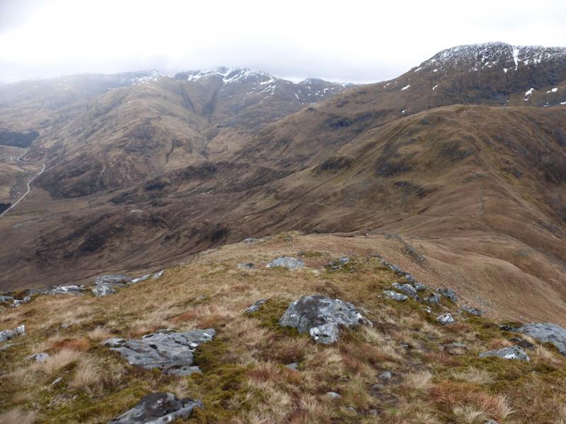
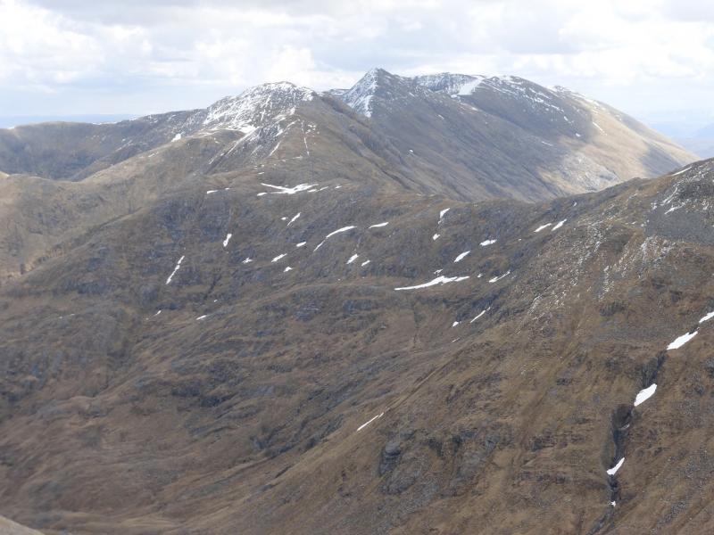
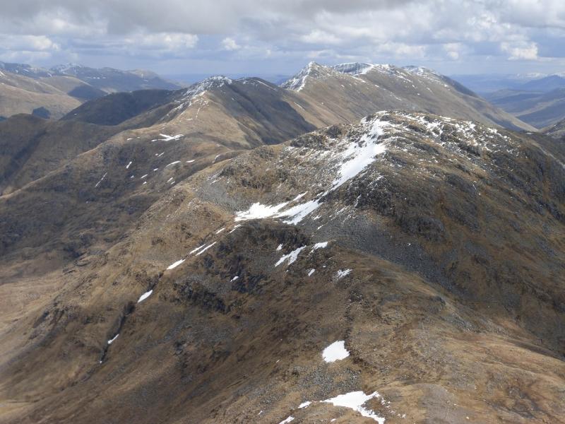
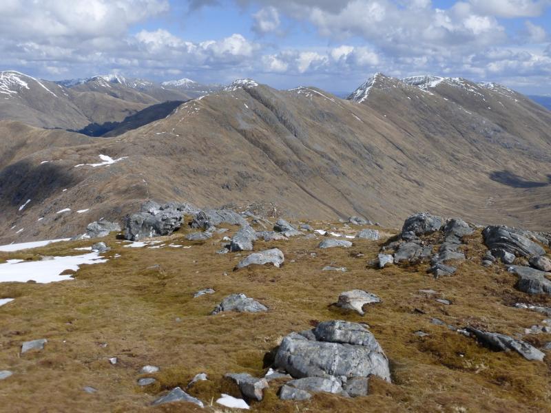
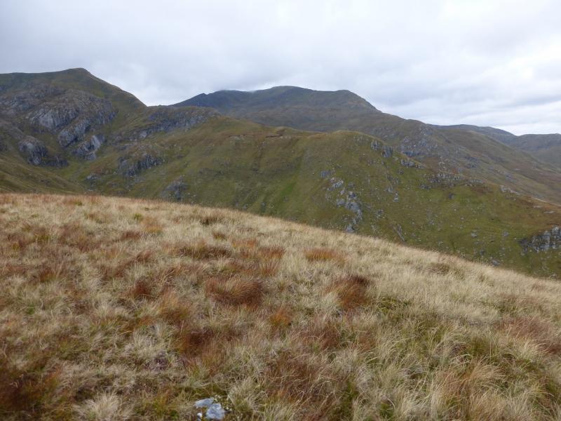
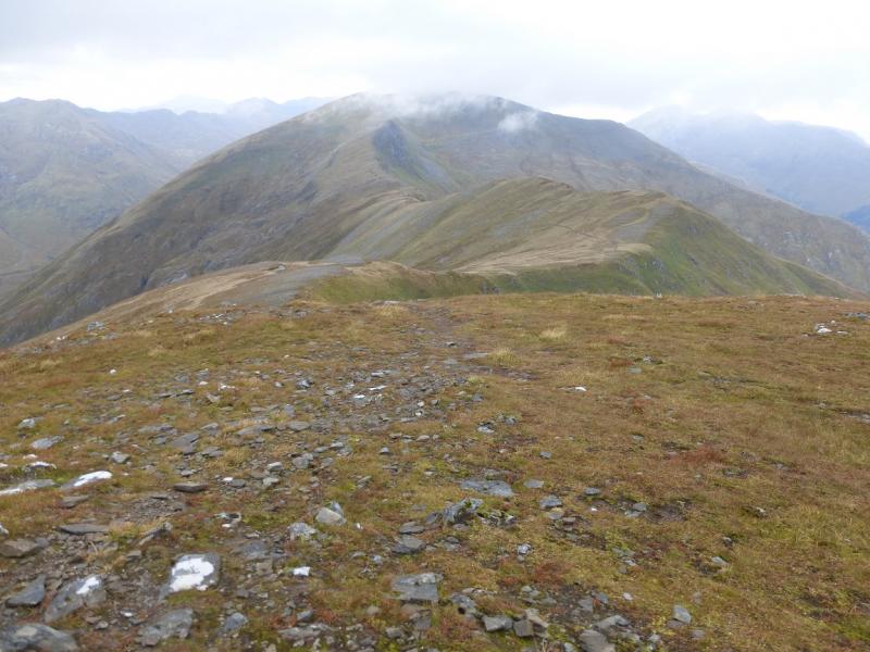
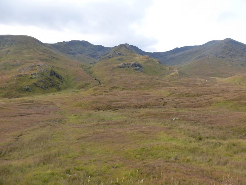
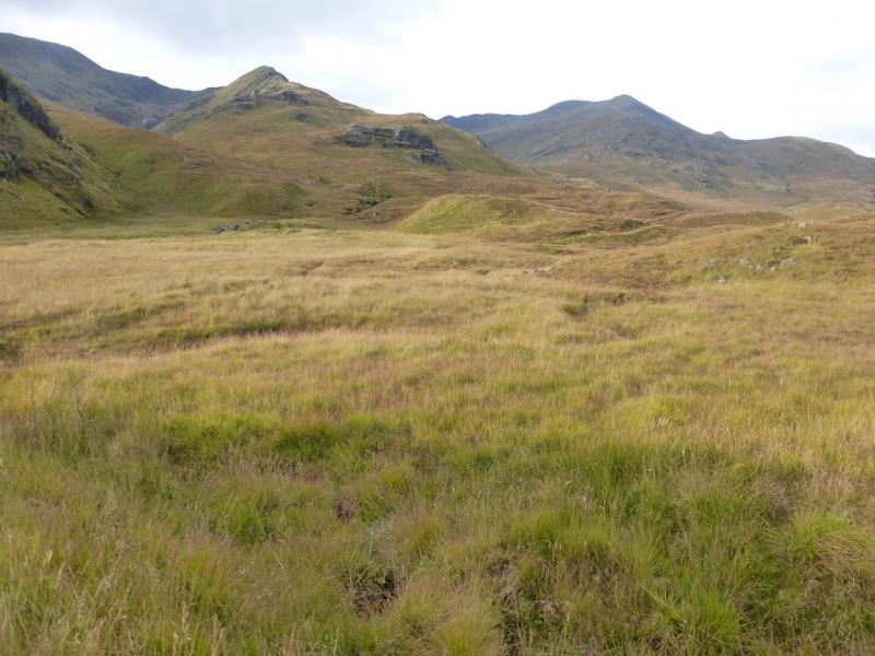
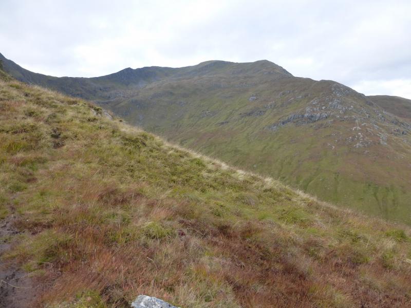
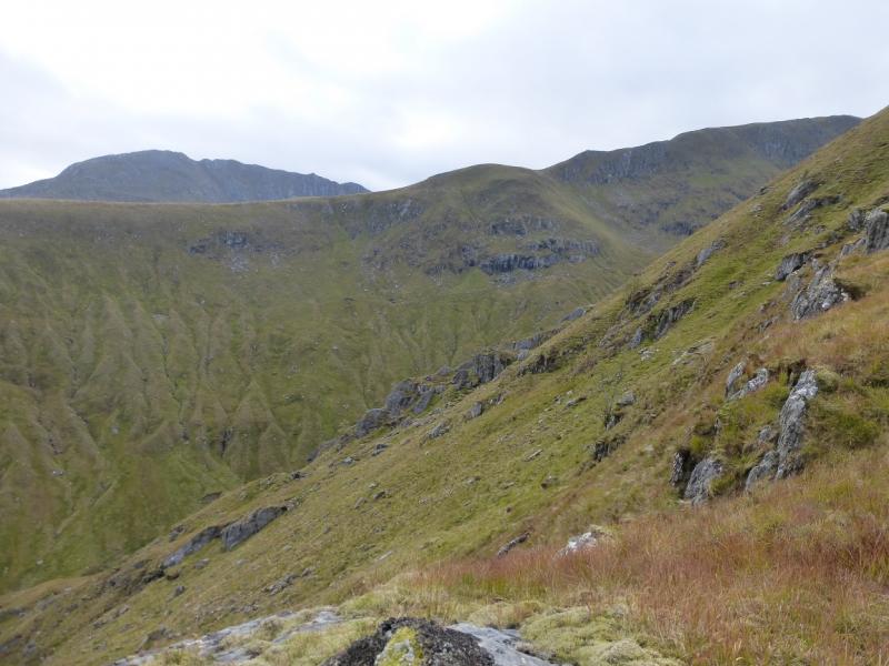
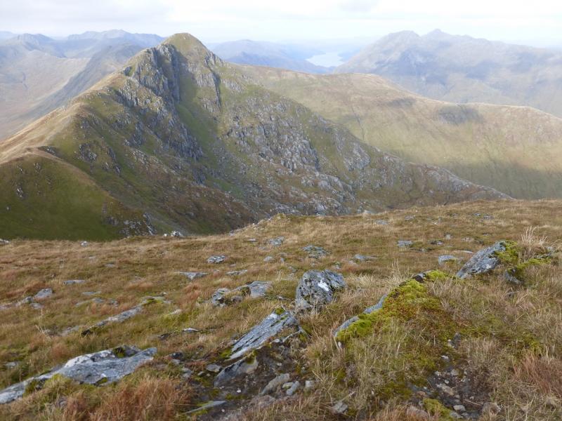
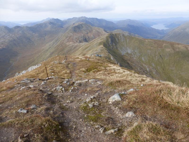
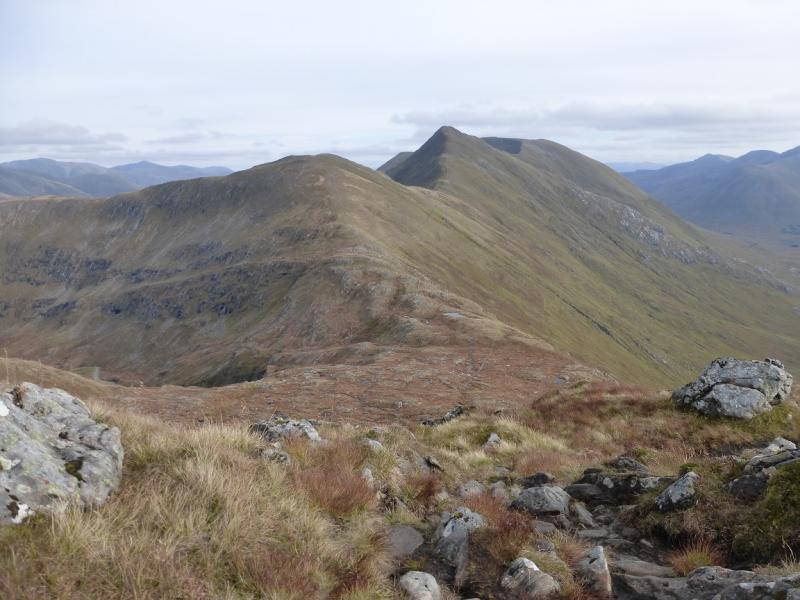
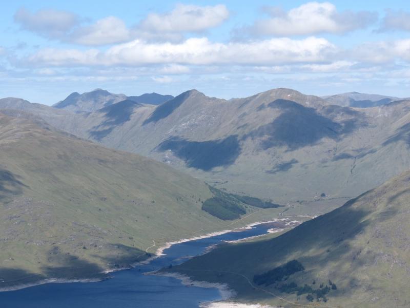
This is the western half of what is known as “The South Glen Shiel Ridge”. It is not as pleasant as the western half as the ascent is less well defined and boggyand the descent is long and rough. It does follow some steep edges so is only for the experienced in winter conditions. There are superb views along the ridge and to the surrounding mountains including the Saileag range, A' Chralaig, Ciste Dubh, Sgurr nan Conbhairean, Sgurr a' Mhaoraich, Gleouriach and Spidean Mialach.
Route
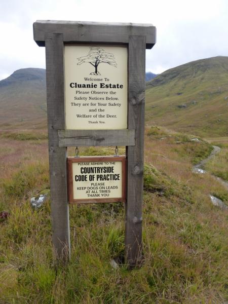
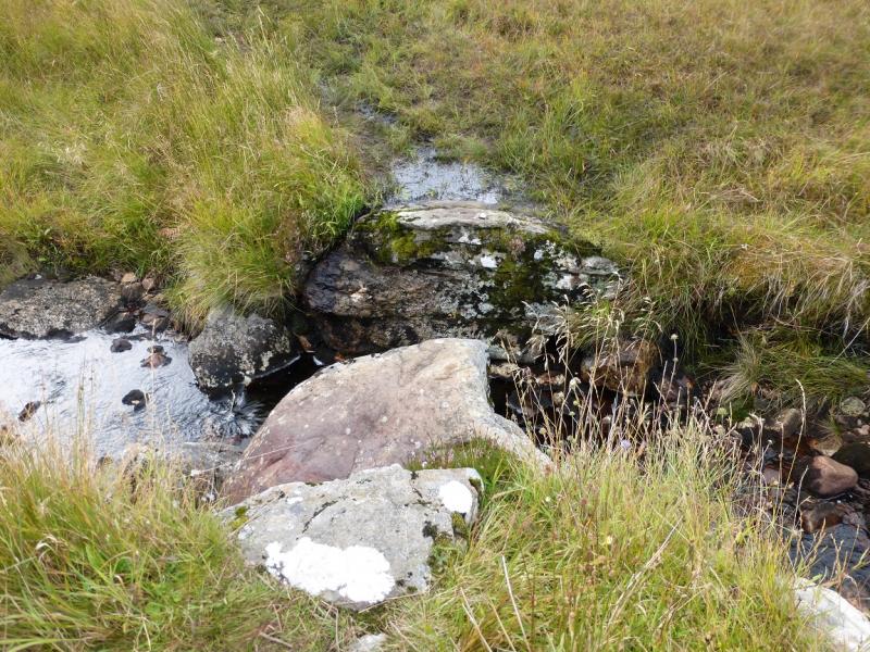
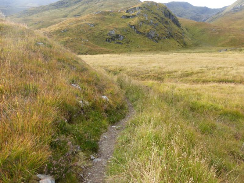
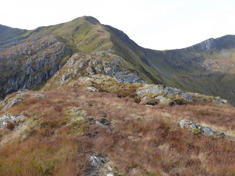
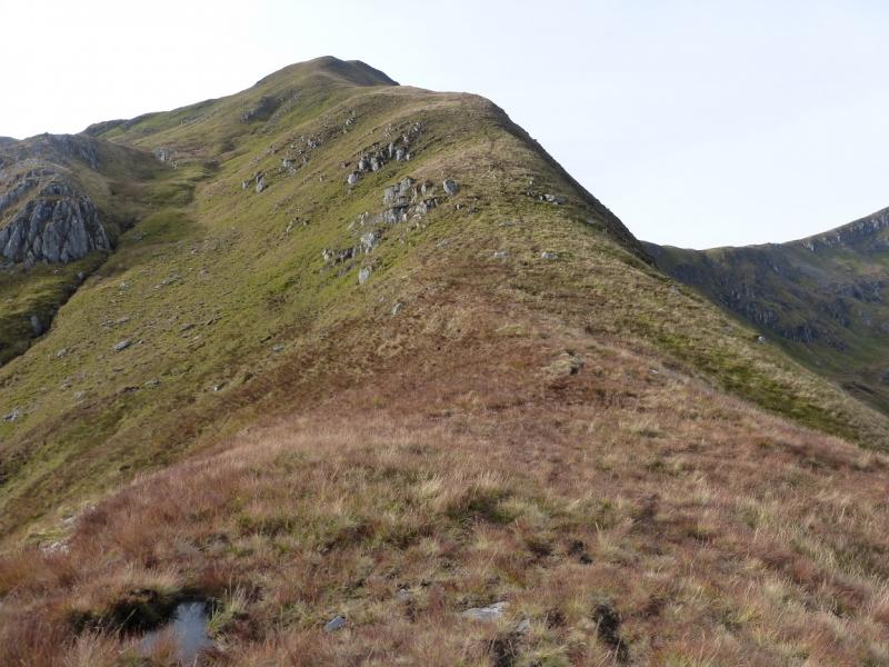
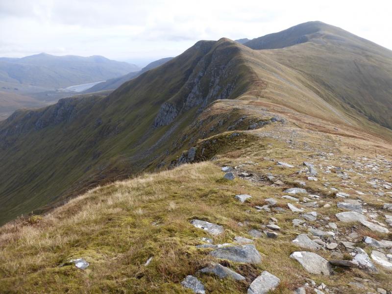
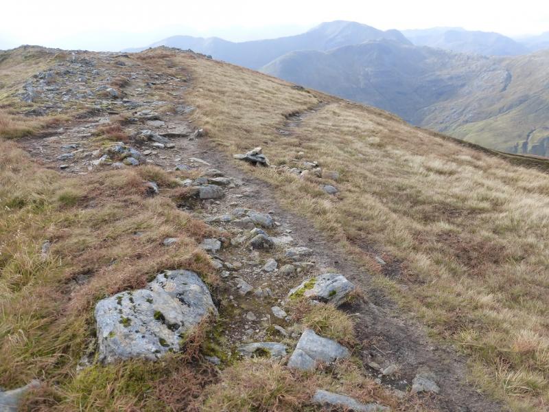
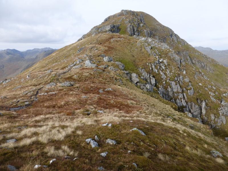
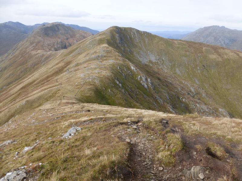
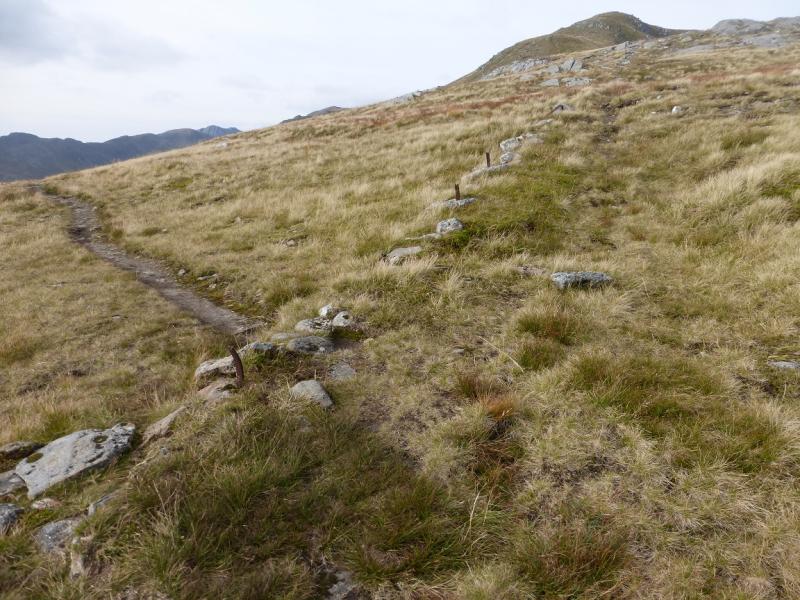
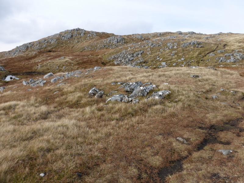
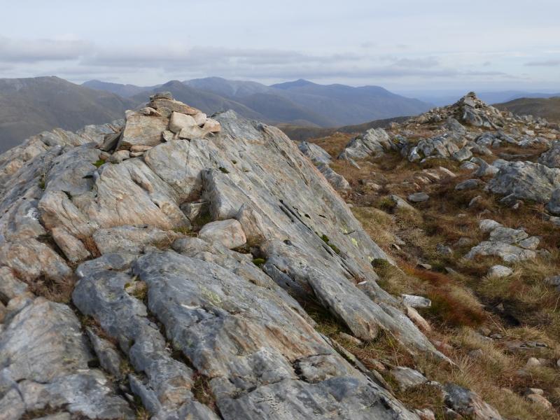
(1) Take the stalkers' path at NH 043 114. There is a notice board soon after the start of the path which helps to locate it. Follow the path across a stream then go immediately right on a faint and wet grassy path. This goes right, W, to the foot of the Druim Thollaidh ridge, where it becomes very faint. The path actually goes to the right, W, side of the ridge then picks its way up. There are a few posts which give a rough guide. Ascend the lower ridge, often on a wet and boggy path. Higher up, the going improves and the path is more distinct. Follow the crest up which steepens as height is gained but there is a path all the way. Near to the top, the path goes to the right of the crest then climbs steeply to reach the small cairn at the top of the ridge. The top is named on the OS 33 as Sgurr Coire na Feinne but it is not one of the South Glen Shiel Munros. The main path along the crest traverses it on its S side. Turn right, roughly W on a good path which descends and soon meets the main path. Continue down to a bealach then ascend up moderately steep slopes to reach the summit crest and follow it as it curves around to the N where a medium cairn marks the summit of Sgurr an Doire an Leathain, 981 m.
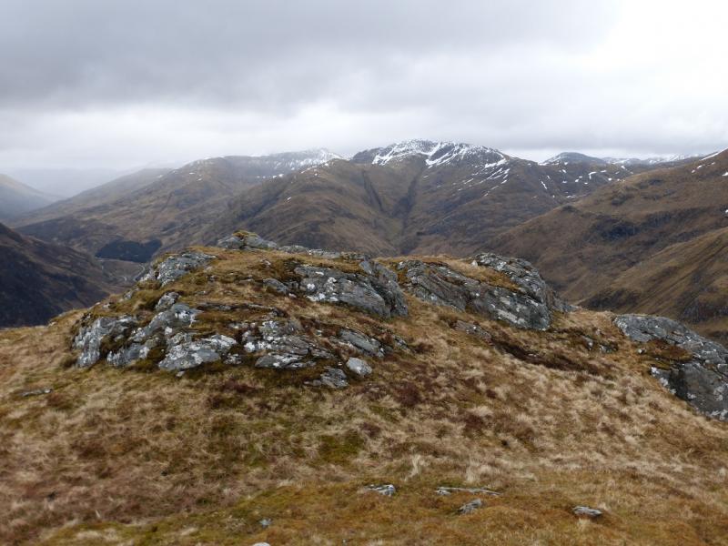
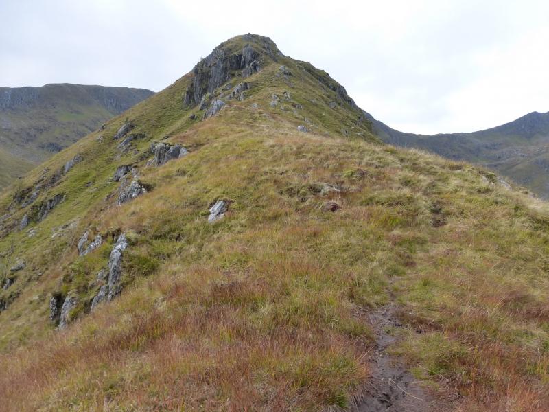
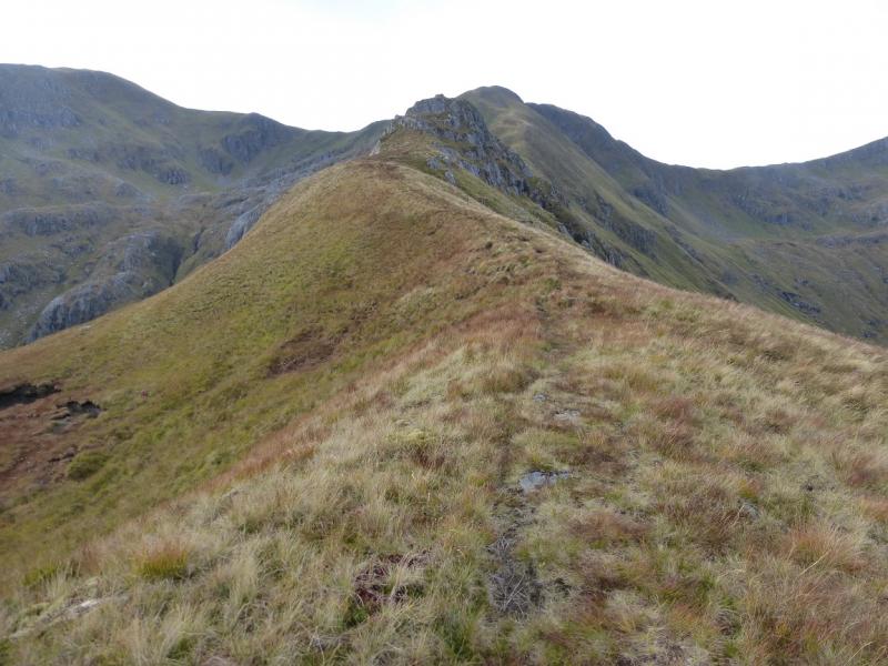
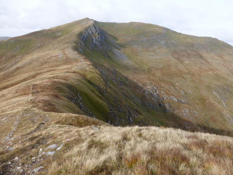
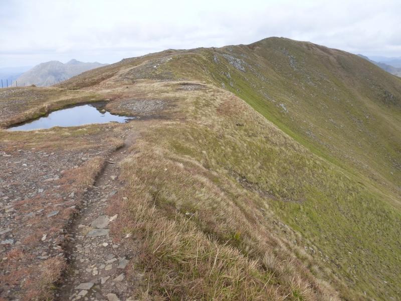
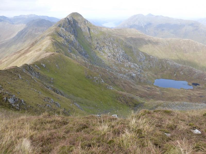
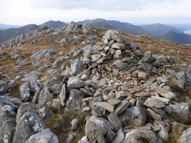
(2) Retrace a few metres and soon take a path which forks right and follow it down to a bealach then up the other side. The path goes to a rocky groove which is easy to ascend or can be easily avoided by a grassy path on its left. Continue up to reach a medium cairn which is the summit of Sgurr an Lochain, 1004 m.
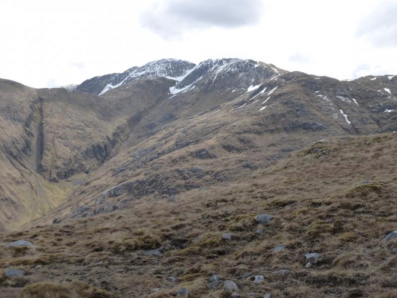
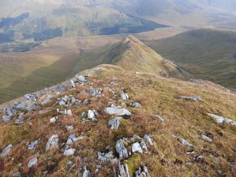
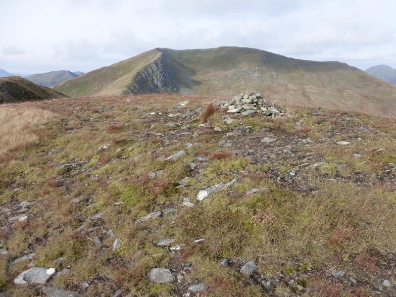
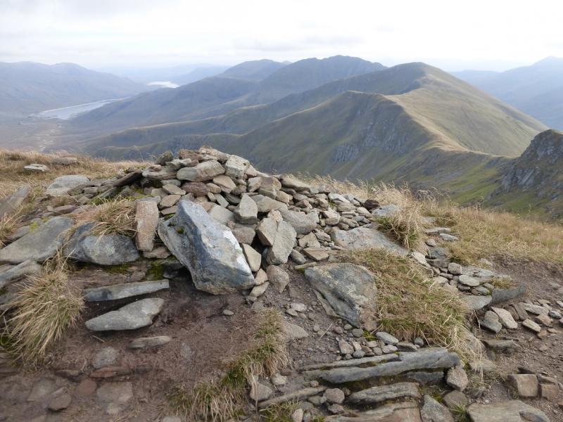
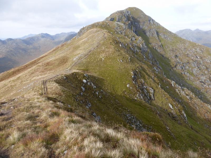
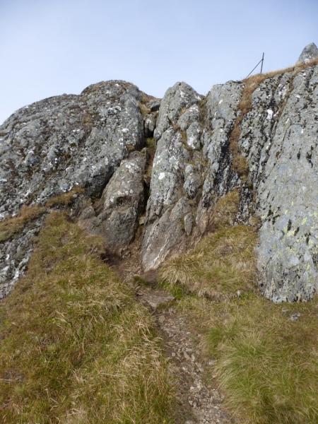
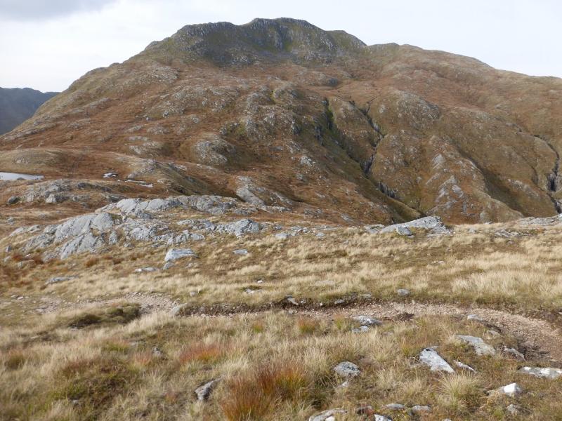
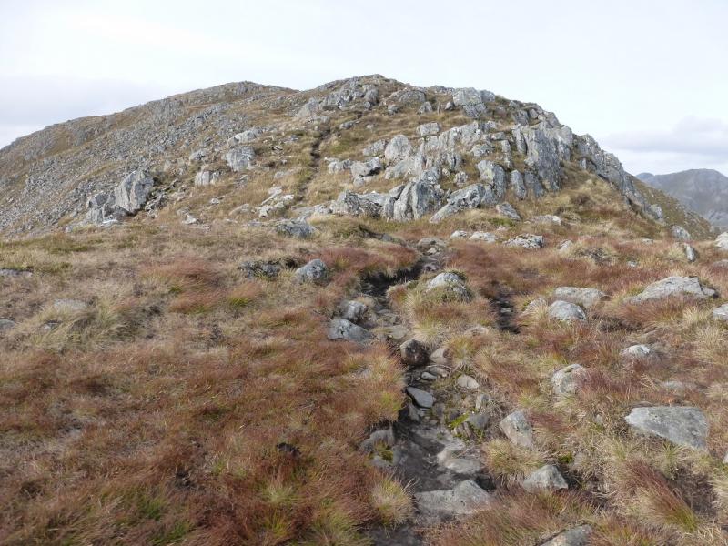
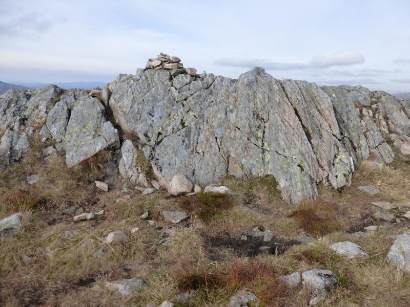
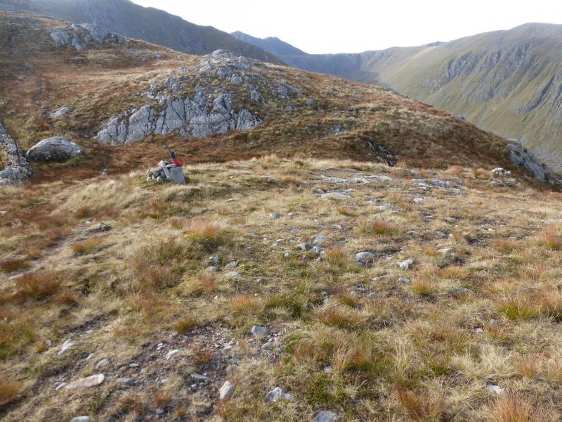
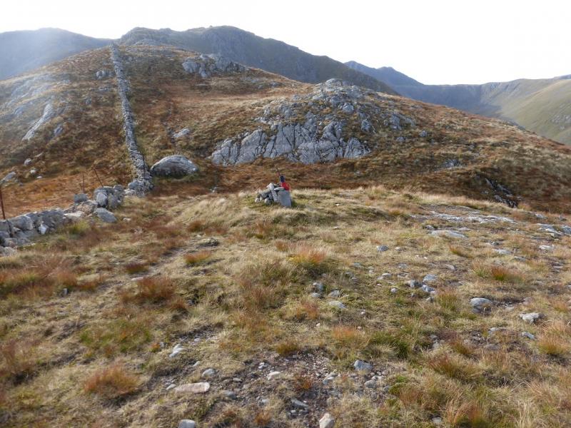
(3) Descend steeply down the obvious path going roughly NW to reach a bealach with Sgurr Beag ahead. Either go ahead and over Sgurr Beag or take the traverse path going off left across its S flank. The traverse takes only about 15 minutes and rejoins the crest on the lower W ridge of Sgurr Beag. Continue on the path across the bealach then up the ESE then SSE ridge of Creag nan Damh. There is a short straightforward rocky section on the ascent. When the crest levels out, reach a small cairn which marks the summit of Creag nan Damh, 918 m. There is a very small cairn a little further on.
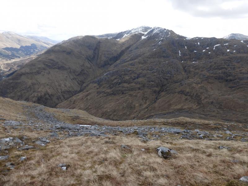
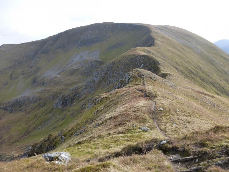
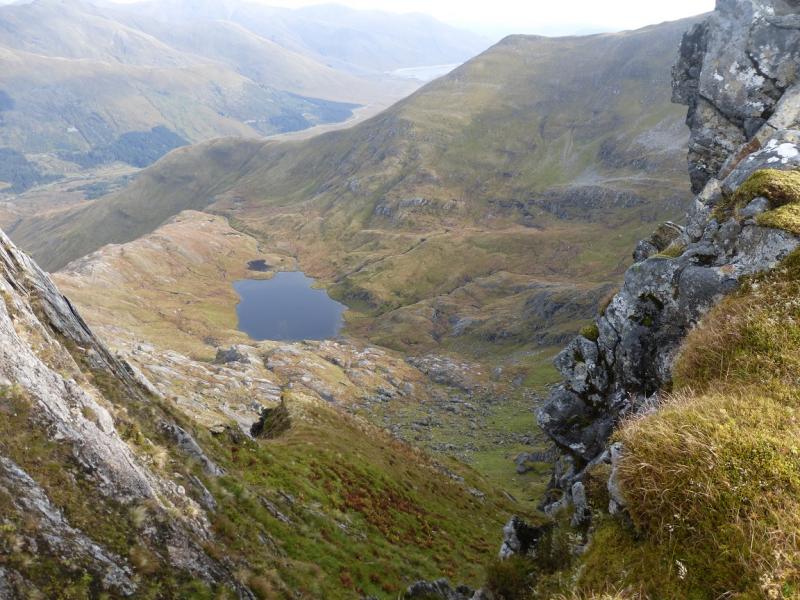
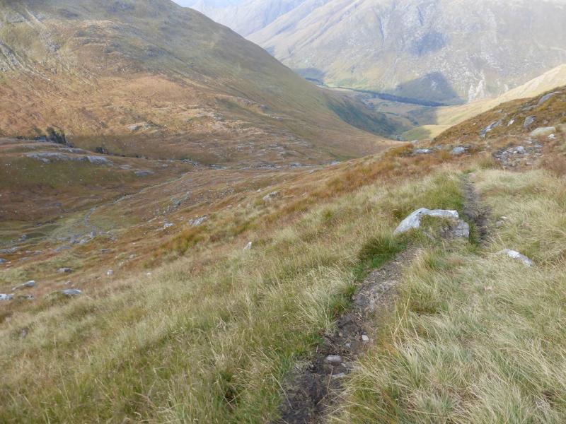
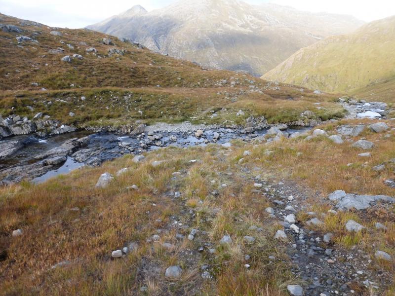
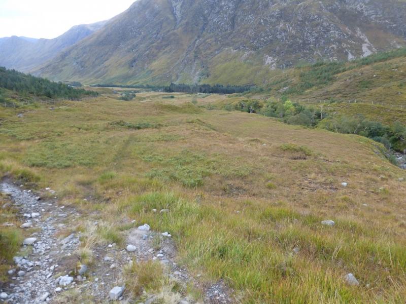
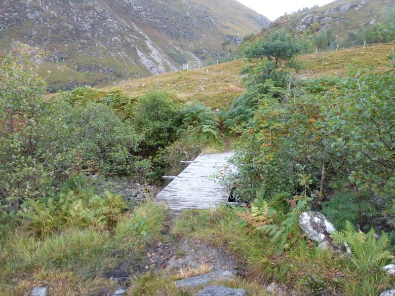
(4) The descent from Creag nan Damh down Coire Toiteil is long and rough and may take some as long as 3 hours. Descend, roughly W, and soon be confronted a rocky headwall, beyond a dip, which looks formidable but, in dry summer conditions, has a fairly straightforward route up it which is just a series of rocky steps with good hand holds. Just before the headwall, it looks like a path goes off to the right but this does not seem to be a descent path. Continue along the rough crest, gradually losing height and following a wall. Reach a bealach which some mistake for Bealach Duibh Leac but this is the next significant bealach and has a small cairn with an even smaller cairn to the right. It is just before the ridge starts to rise again to Sgurr a' Bhac Chaolais. From the smaller cairn, a faint path starts and passes a few cairns before becoming more distinctive. Follow the rough, wet and boggy path down the corrie. The Allt Coire Toiteil has to be crossed and this may be a problem in spate. Continue down. Much lower down, look for the main stream, now a river, passing between tree lined banks. Leave the path, after going over a very minor “bump” and follow a very faint and wet path towards the trees then follow the river down until a wide planked bridge is reached. Cross this; it can be slippery when wet and has no sides. Continue down to the road keeping well to the right, on drier ground, until the gate on to the road is close.
Notes
(a) This walk took place on 15th October, 2015.
(b) Accommodation is limited at Shiel Bridge but there are two camp sites. One behind the garage, the other at Morvich on the old road around Loch Duich. The latter is run by the Caravan Club and has very good facilities including Wi-Fi.
Photos - Hover over photo for caption. Click on to enlarge. Click on again to reduce.