Get Lost Mountaineering
You are here: Scotland » 10b Loch Eil to Glen Shiel » Fort Augustus to Shiel Bridge including south of Glen Shiel
Maol Chinn-dearg, Aonach air Chrith, Druim Shionnach & Creag a' Mhaim (South Glen Shiel Ridge Eastern End) from Cluanie Inn
Maol Chinn-dearg, Aonach air Chrith, Druim Shionnach & Creag a' Mhaim (South Glen Shiel Ridge Eastern End) from Cluanie Inn
Start/Finish
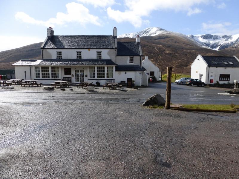
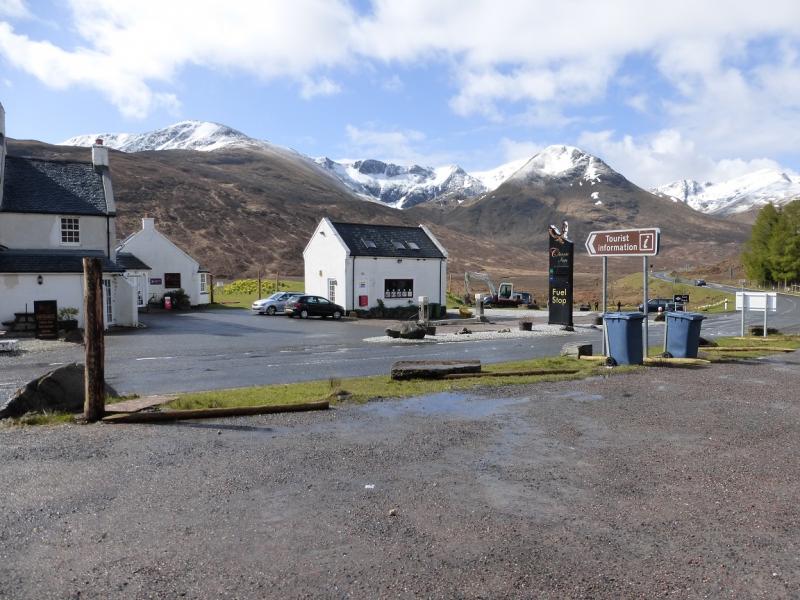
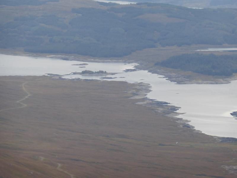
The Cluanie Inn is a well known landmark at the western end of Loch Cluanie on the A87 from Invergarry to Kyle of Lochalsh. There is a free car park opposite the inn. If coming from Inverness, take the A887 from Invermoriston which joins the A87 at Moriston Bridge.
Distance/Time
22 km About 8 hours
Peaks
Maol Chinn-dearg, 981 m, NH 032 087.
Aonach air Chrith, 1021 m, NH 050 083.
Druim Shionnach West Top, 938 m, NH 062 082.
Druim Shionnach, 987 m, NH 074 085.
Creag a' Mhaim, 947 m, NH 088 078. OS sheet 33.
The path off the SE ridge of Creag a' Mhaim, which joins the old road from Cluanie to Tomdoun at the foot of the ridge, actually goes off the edge of the map and on to sheet 34 but it is easy to manage with just sheet 33 as the route on the ground is very obvious.
Introduction
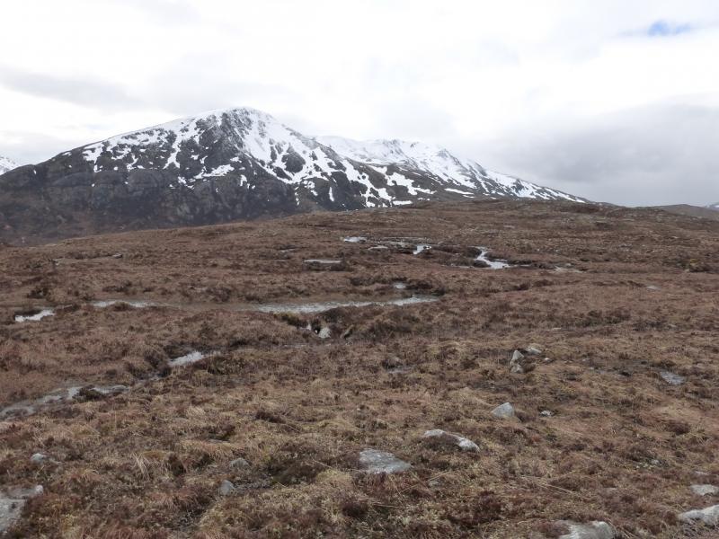
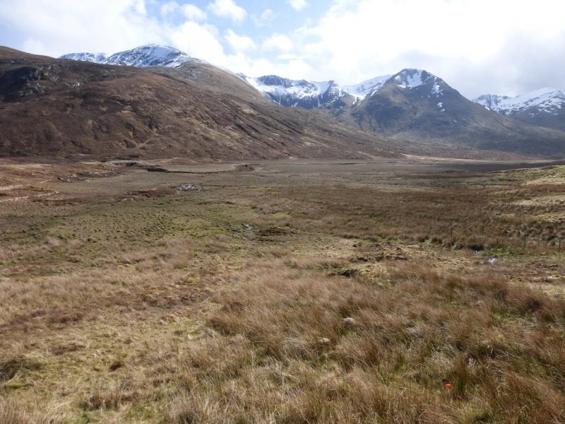
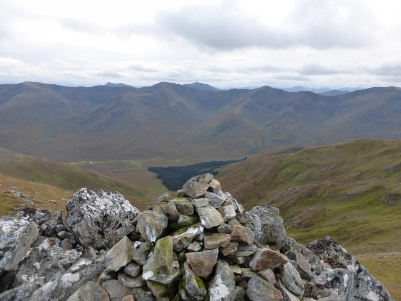
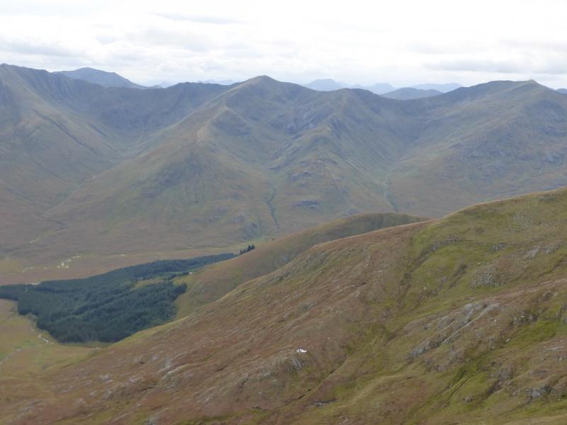
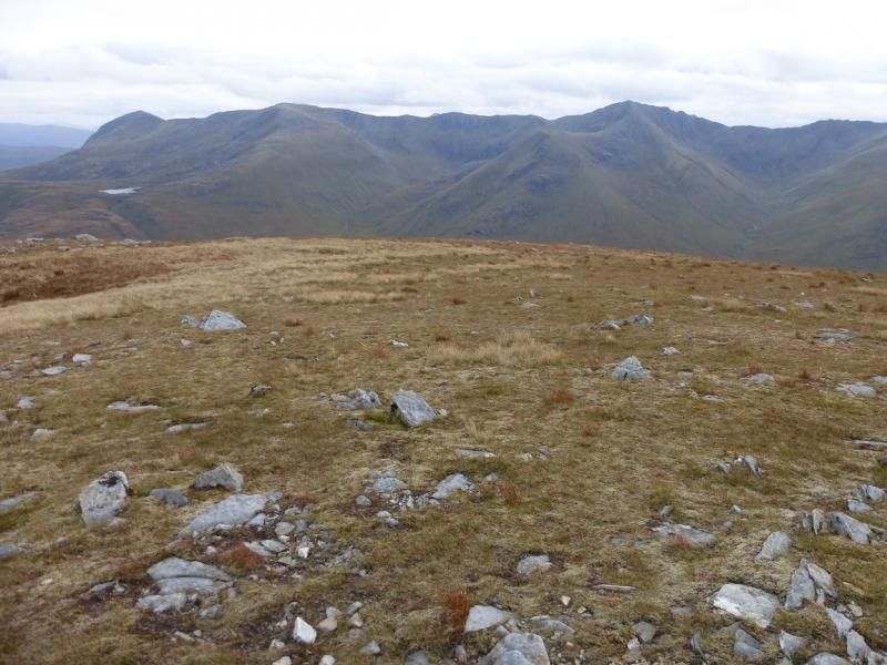
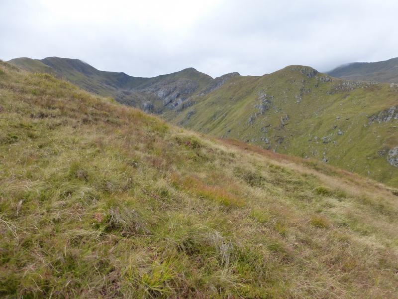
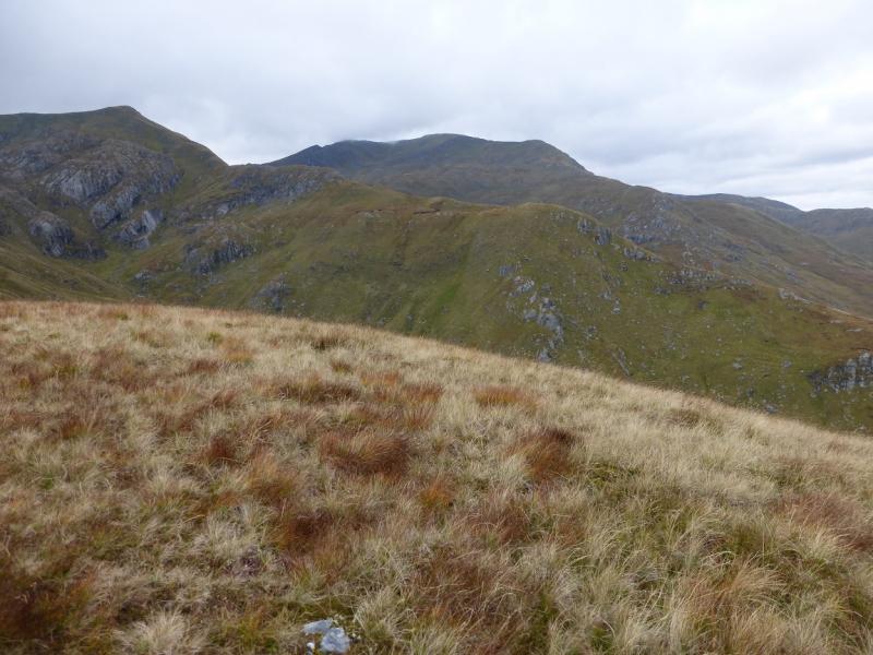
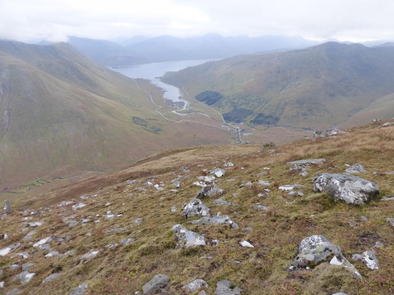
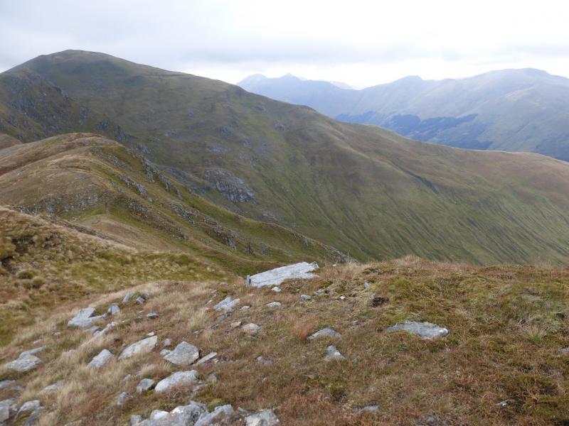
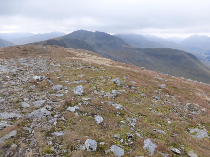
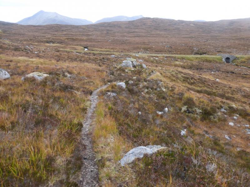
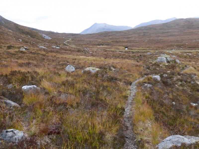
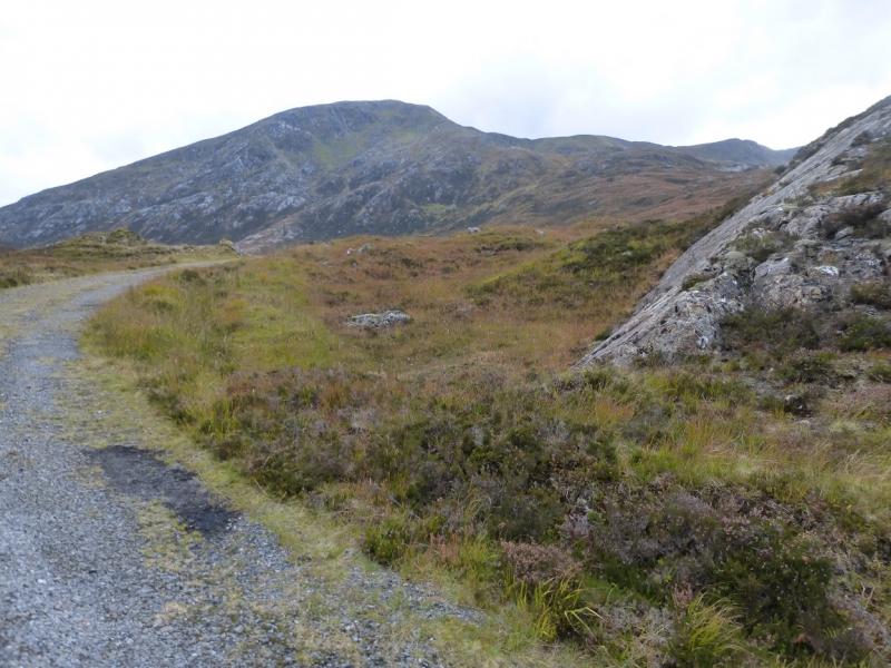
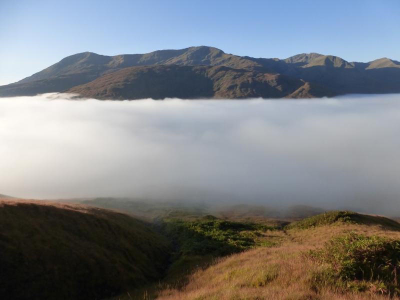
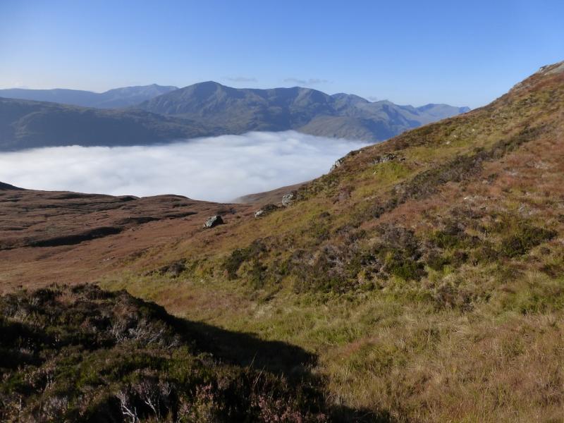
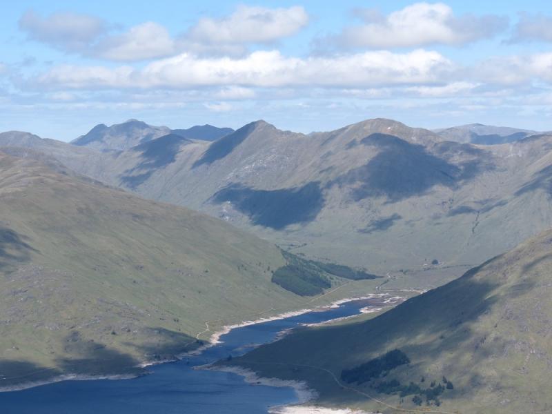
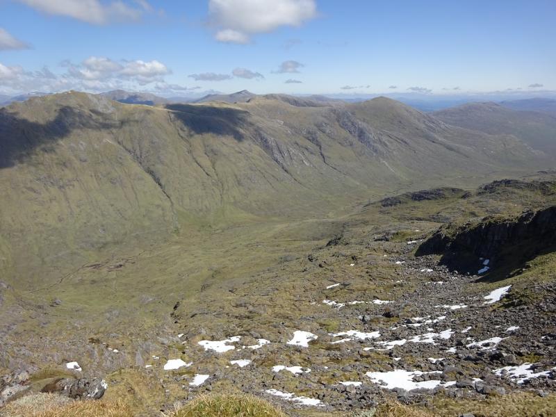
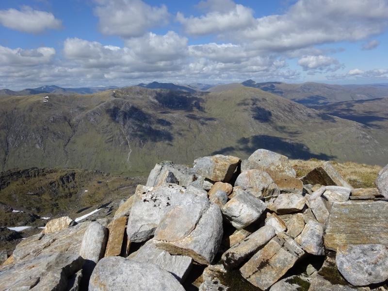
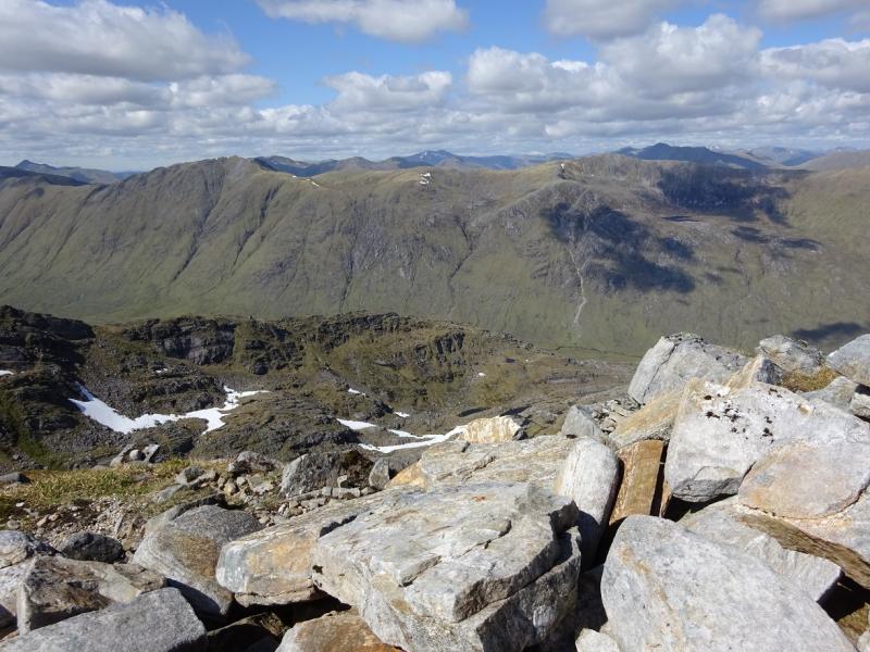
This is the eastern half of what is known as “The South Glen Shiel Ridge”. This is a very pleasant walk with paths all the way. It does follow some steep edges so is only for the experienced in winter conditions. There are superb views along the ridge and to the surrounding mountains including the Saileag range, A' Chralaig, Ciste Dubh, Sgurr nan Conbhairean, Sgurr a' Mhaoraich, Gleouriach and Spidean Mialach. There is about 3 km of road walking at the start which could be avoided with two cars.
Route
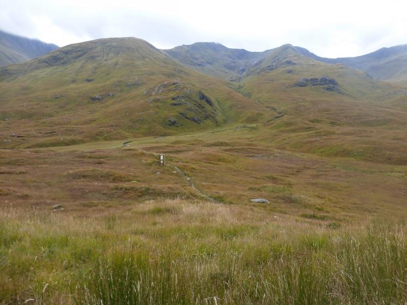
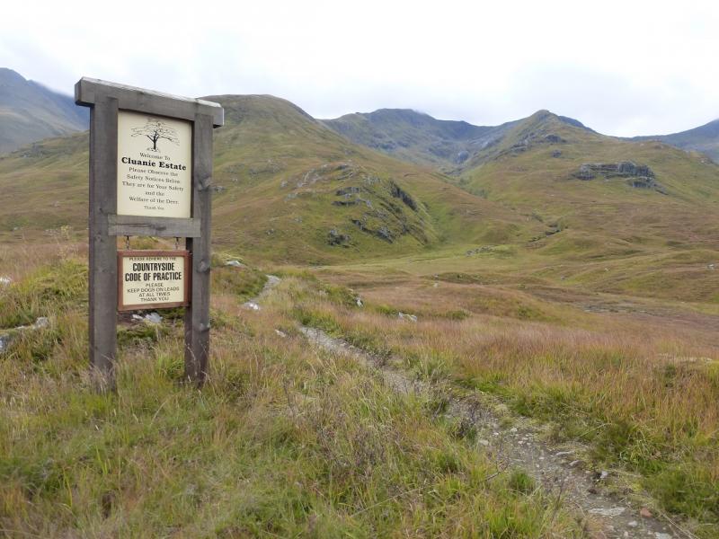
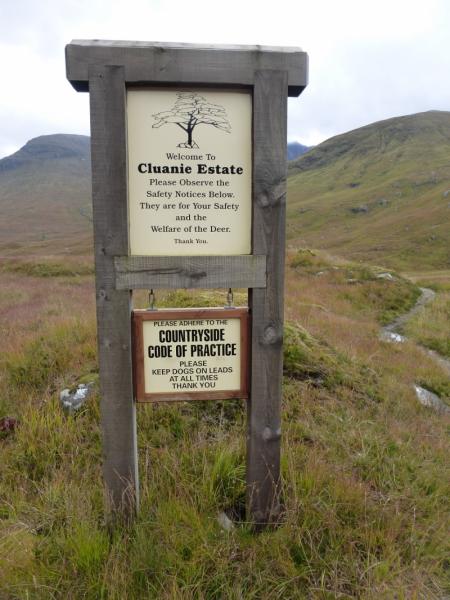
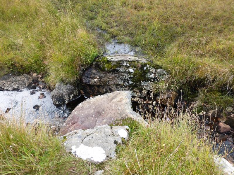
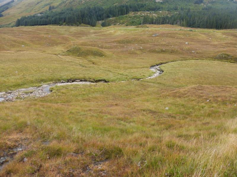
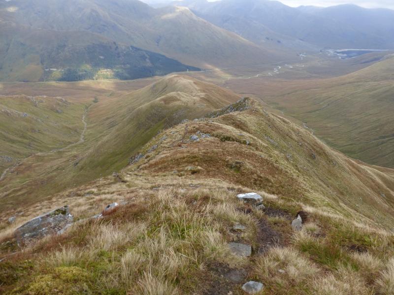
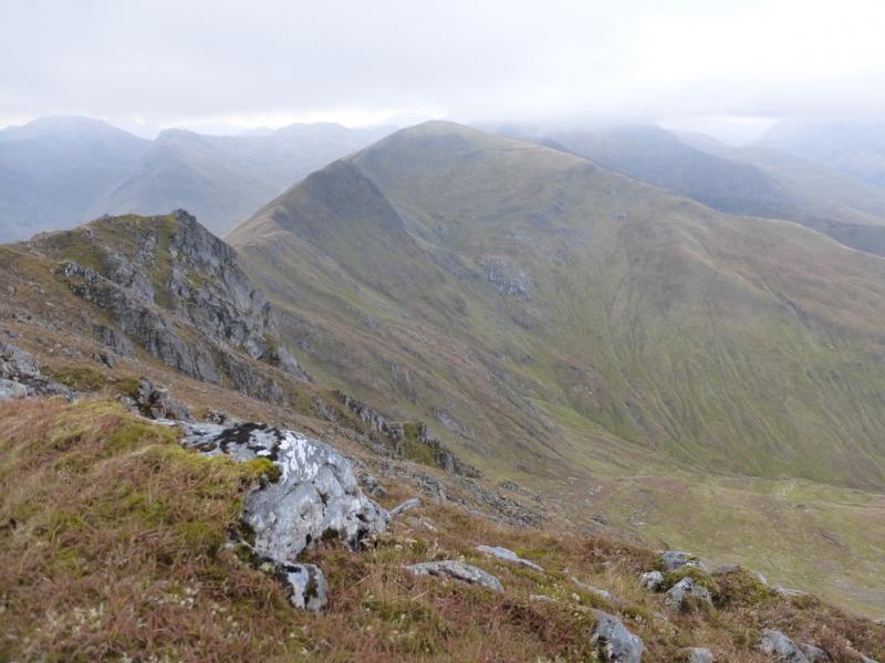
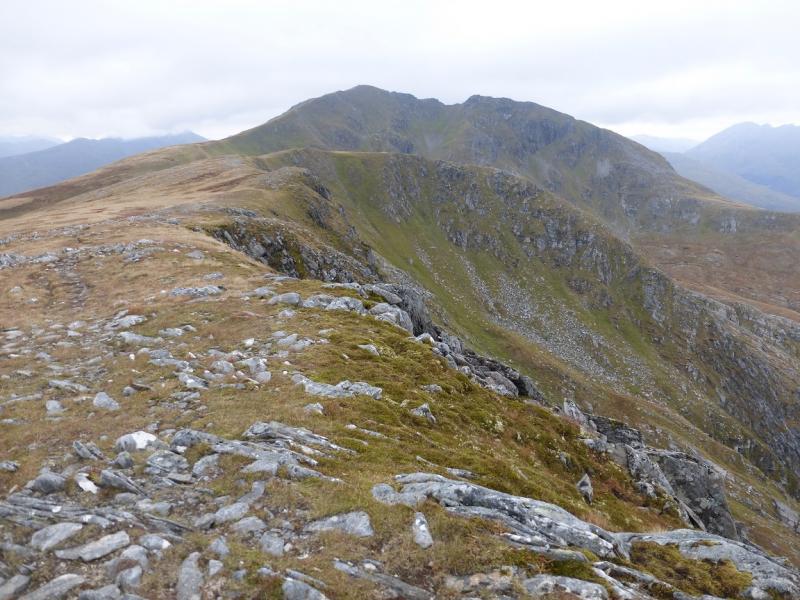
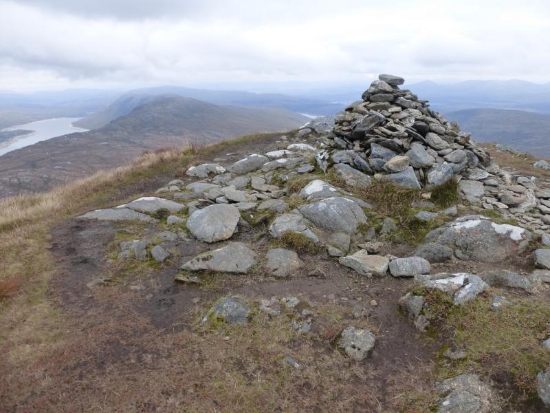
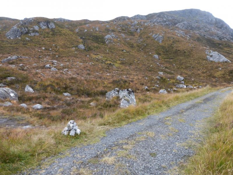
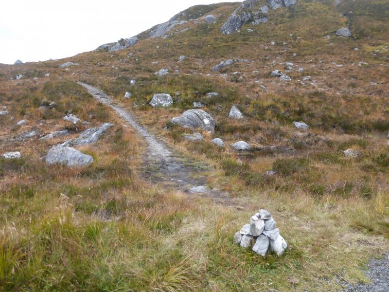
(1) Walk W up the road from Cluanie for about 3 km until the start of the stalkers' path at NH 043 114. There is a notice board soon after the start of the path which helps to locate it. Follow the path across a stream then the main stream – neither is normally difficult to cross. Follow the path S – it is the more obvious path. This weaves its way up the ridge called Druim Coire nan Eirecheanach and is very easy to follow. Higher up it steepens and eventually leads to the medium cairn which is the summit of Maol Chinn-dearg, 981 m.
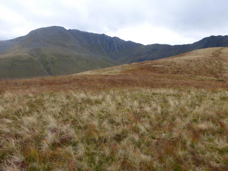
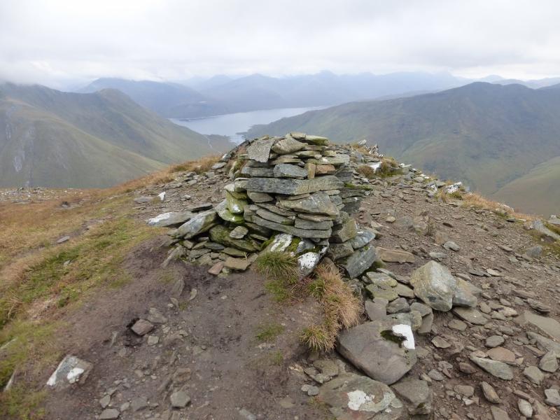
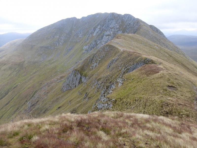
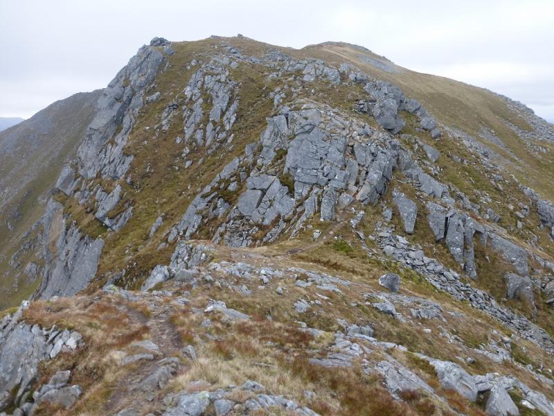
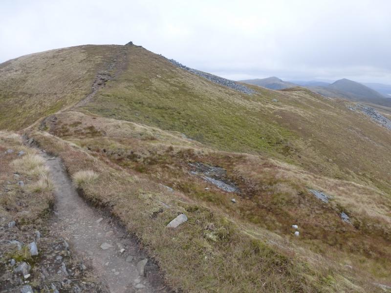
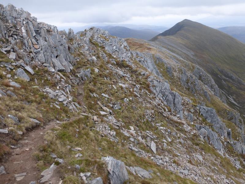
(2) Follow the ridge ESE descending to a bealach before ascending up towards Aonach air Chrith. There are some rocky sections but nothing difficult in summer conditions. When the gradient eases, soon reach the medium cairn which is the summit of Aonach air Chrith, 1021 m.
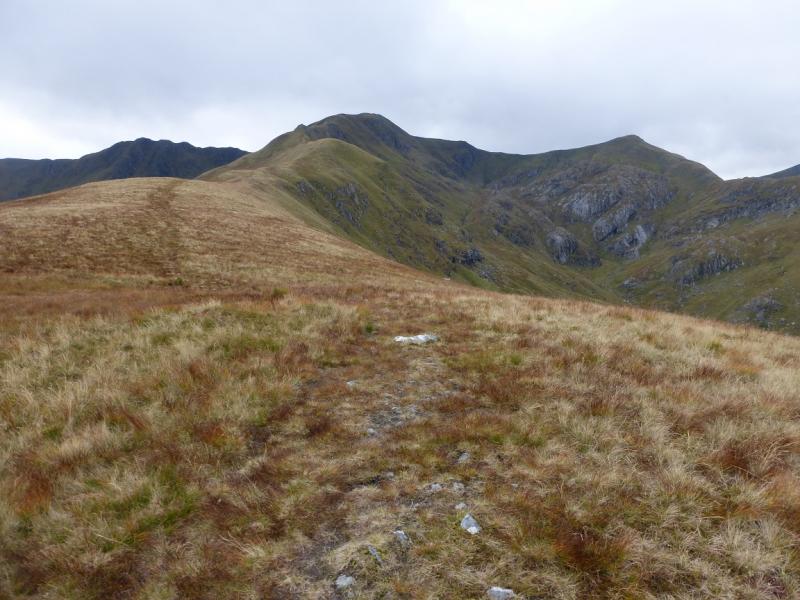
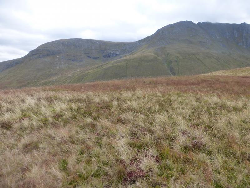
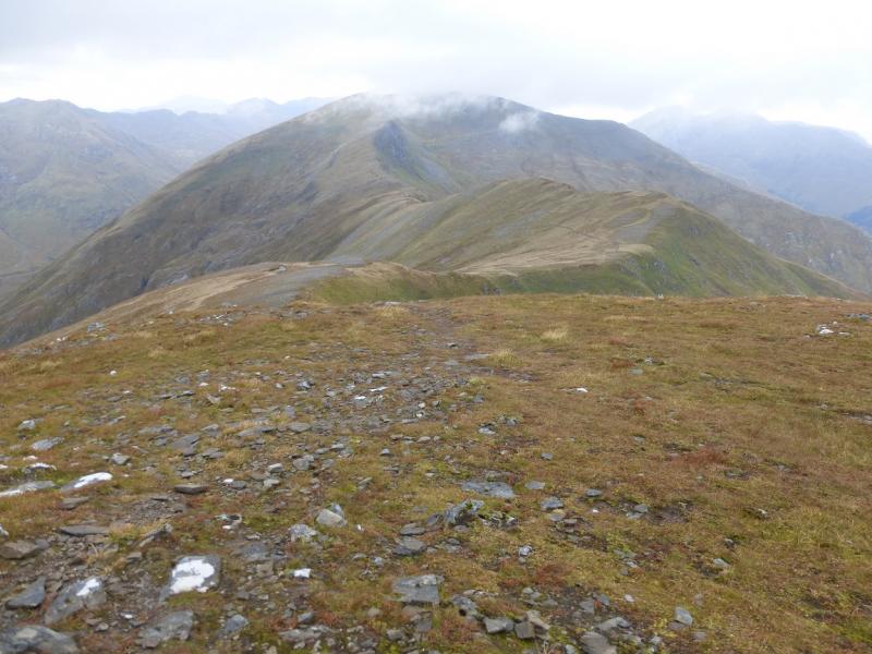
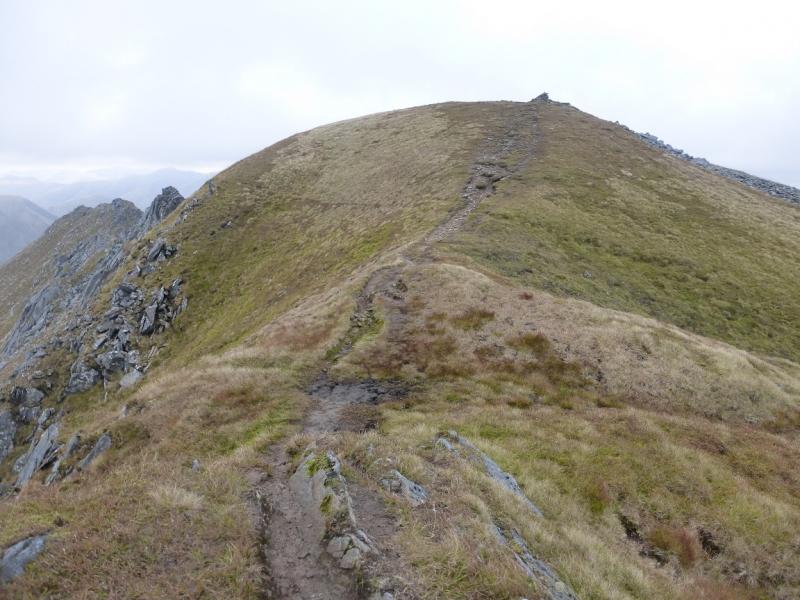
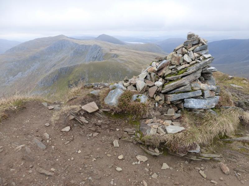
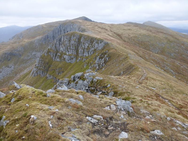
(3) Continue along the crest, still on a very obvious path and losing much height. The ridge undulates and about halfway to Druim Shionnach, there is a more significant top which is cairned and is Druim Shionnach West Top, 938 m.
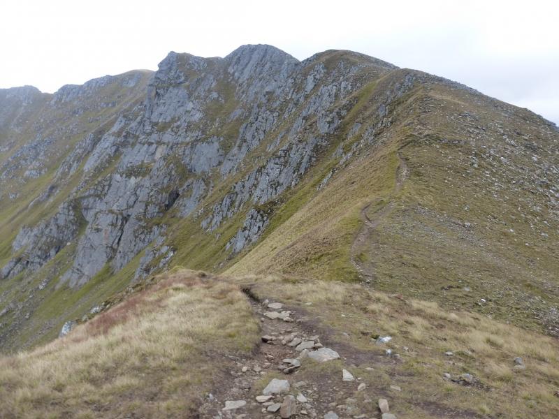
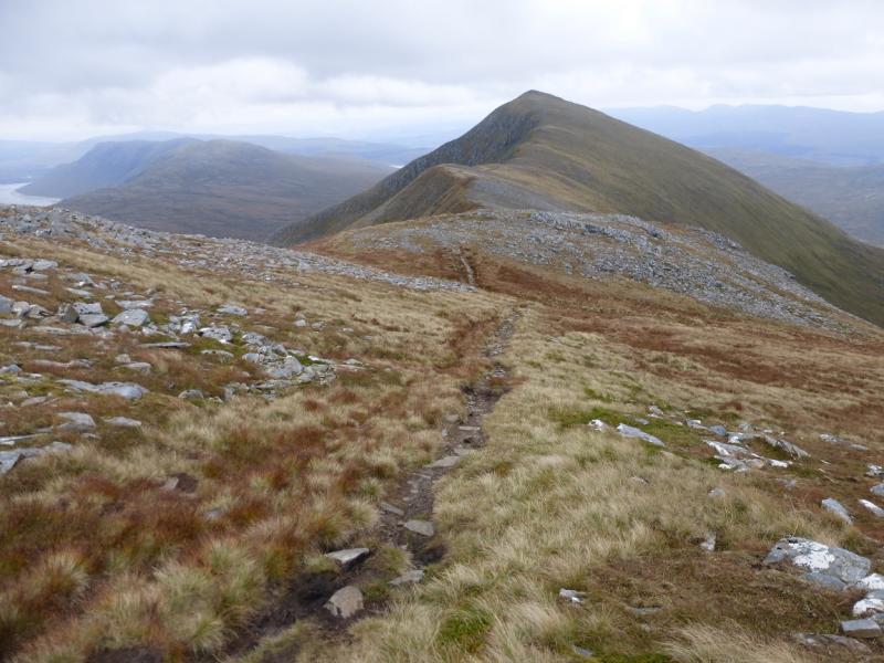
(4) Continue along the crest and soon reach the medium cairn which is the summit of Druim Shionnach, 987 m.
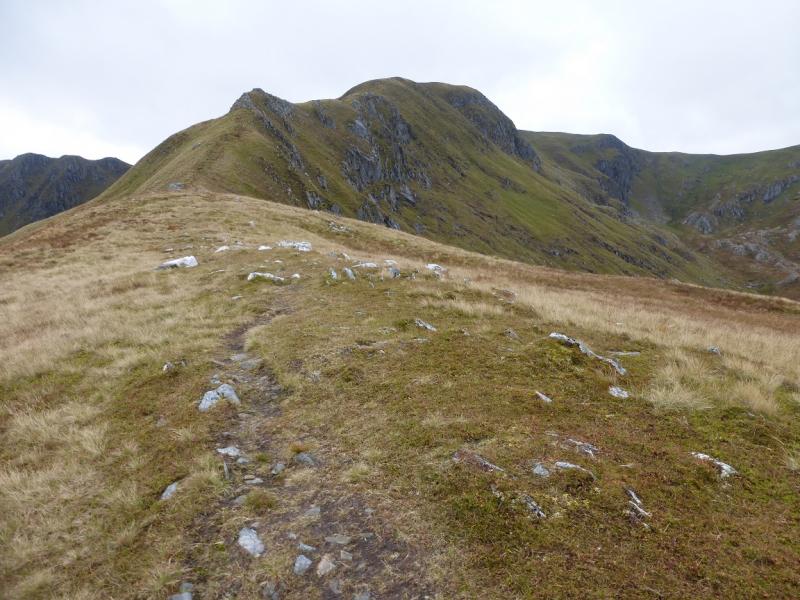
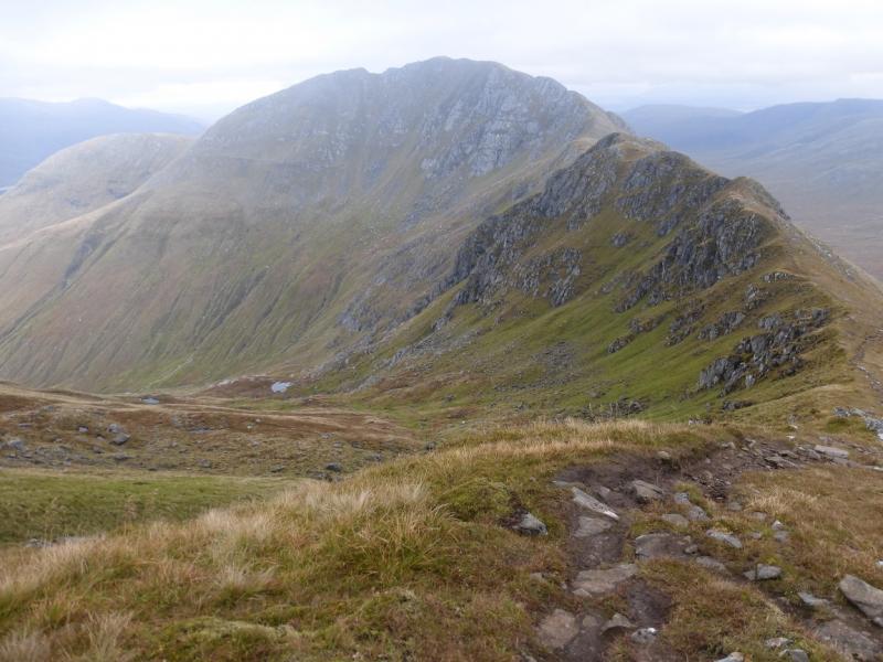
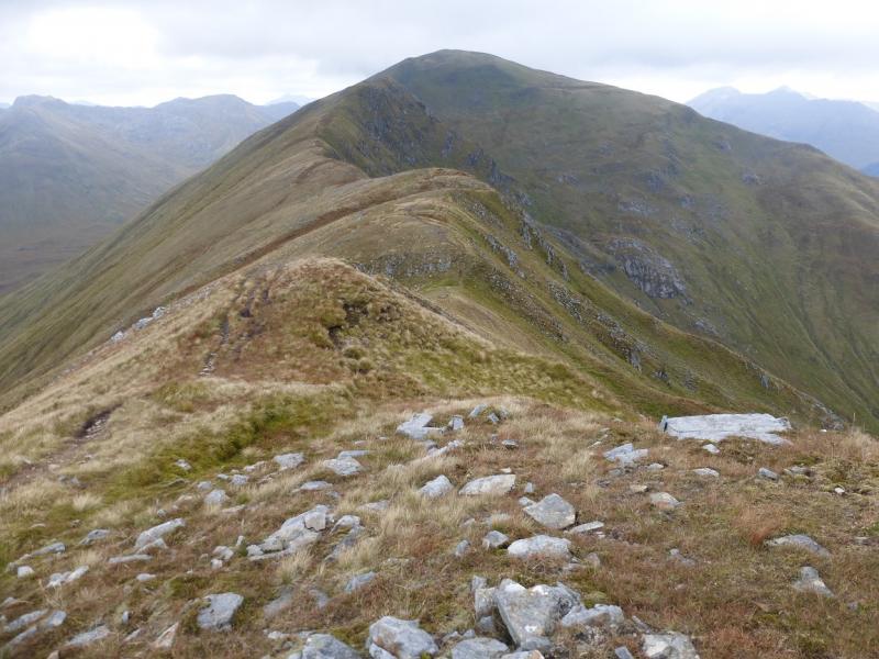
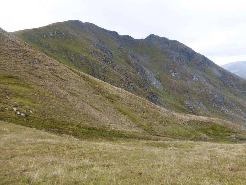
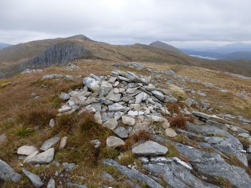
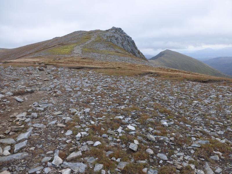
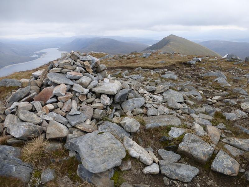
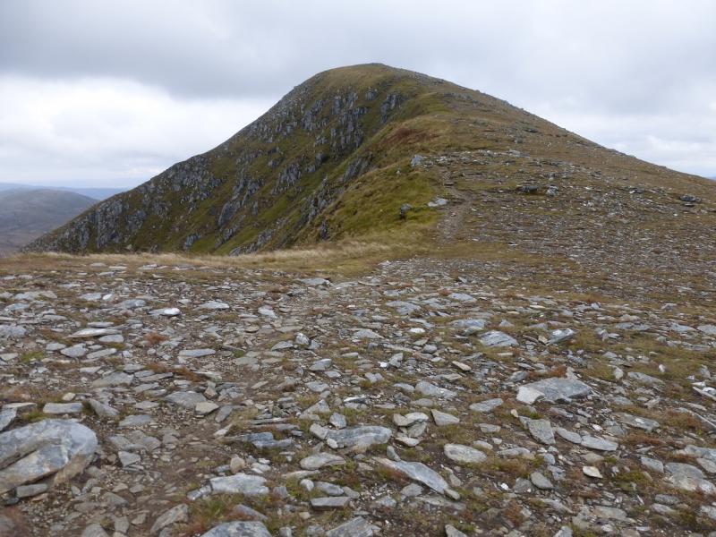
(5) Continue along the crest which is, initially quite rocky. There is an avoiding path for those who wish to avoid the rocky crest which soon runs out and easy walking leads down then up to the medium cairn which is Creag a' Mhaim, 947 m.
(6) Continue along the crest, roughly SE, and follow the obvious path as it weaves its way down, with many zig zags, to reach the old road from Tomdoun to Cluanie. Follow the road for about 7 km, uphill for about the first 1 km, to reach the A87 a few hundred metres E of Cluanie.
Notes
(a) This walk took place on 14th October, 2015.
(b) Accommodation is limited at Shiel Bridge but there are two camp sites. One behind the garage, the other at Morvich on the old road around Loch Duich. The latter is run by the Caravan Club and has very good facilities including Wi-Fi.
Photos - Hover over photo for caption. Click on to enlarge. Click on again to reduce.