Get Lost Mountaineering
You are here: Scotland » 10b Loch Eil to Glen Shiel » Fort Augustus to Shiel Bridge including south of Glen Shiel
Forcan Ridge, Sgurr na Forcan & The Saddle from A87 to East of Shiel Bridge
Forcan Ridge, Sgurr na Forcan & The Saddle
from A87 to East of Shiel Bridge
Start/Finish
About 3 miles south of Shiel Bridge garage on the A87 from Invergarry to the Kyle of Lochalsh. The route starts about 200 m north of the bridge at NG 970 140. There is a lay by about 200 m to the south. At busy times, this lay by can soon fill up so you may have to park a little further away.
Distance/Time
16 km About 7 - 8 hours
Peaks
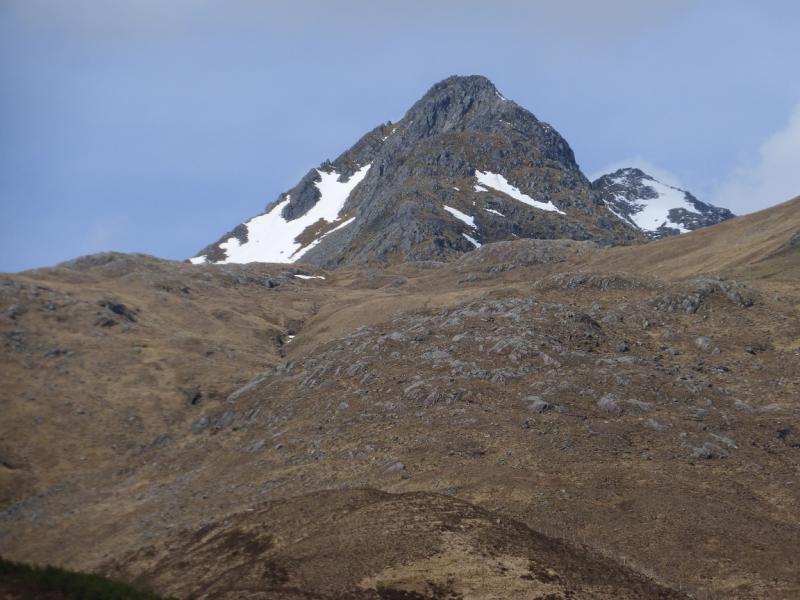
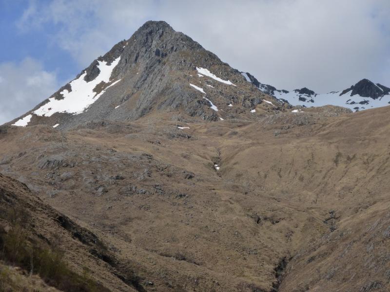
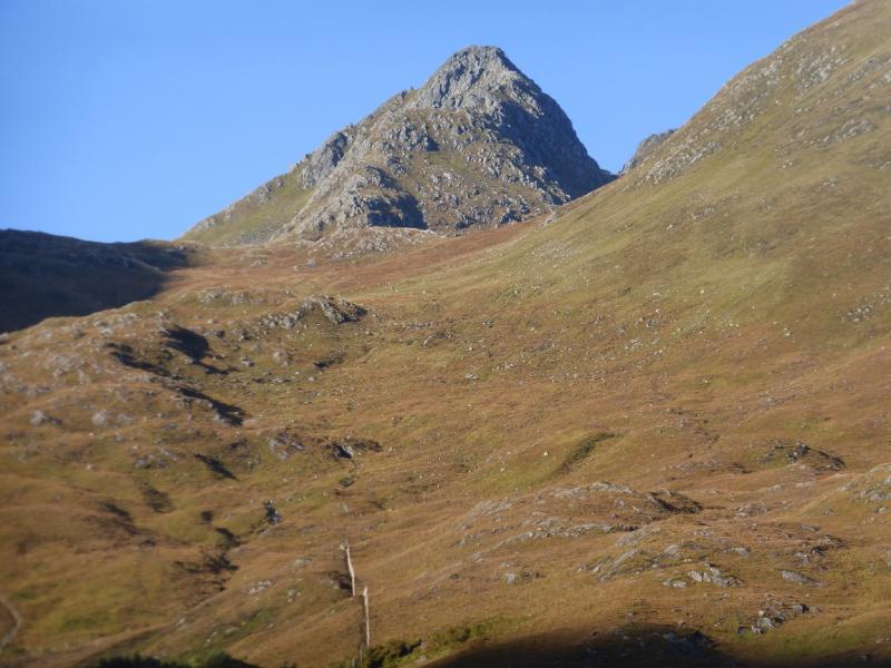
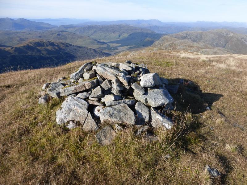
Sgurr na Forcan, 963 m, NG 940 130.
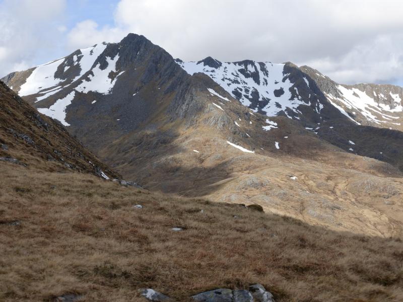
The Saddle, 1010 m, NG 936 131.
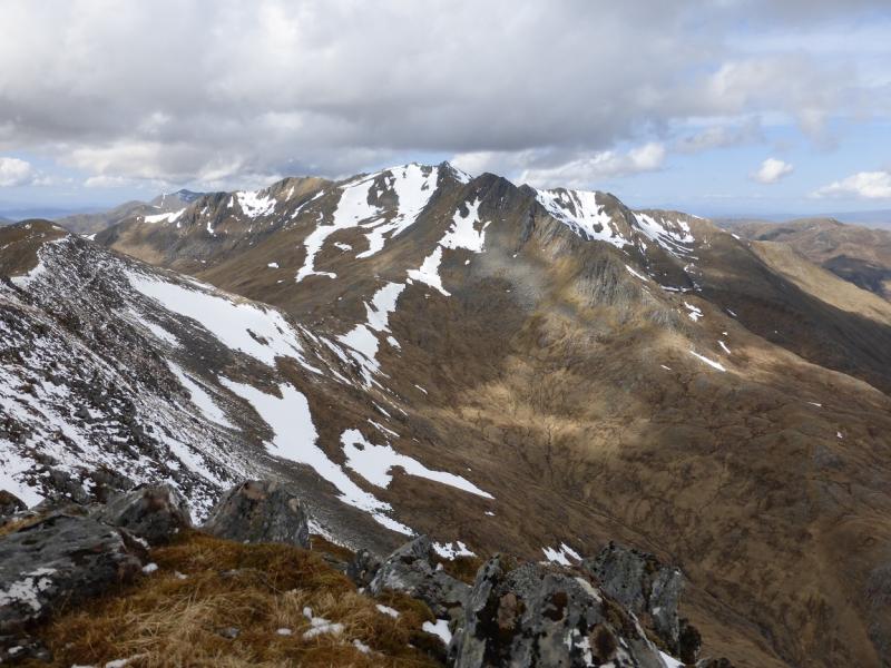
Spidean Dhomhuill Bhric, 939 m, NG 922 129.
Sgurr Leac nan Each, 919 m, NG 917 133. OS sheet 33.
Introduction
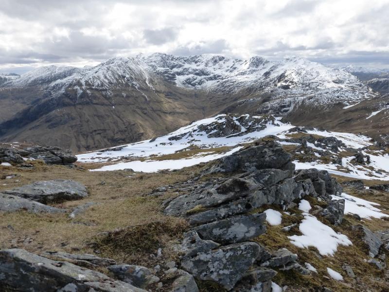
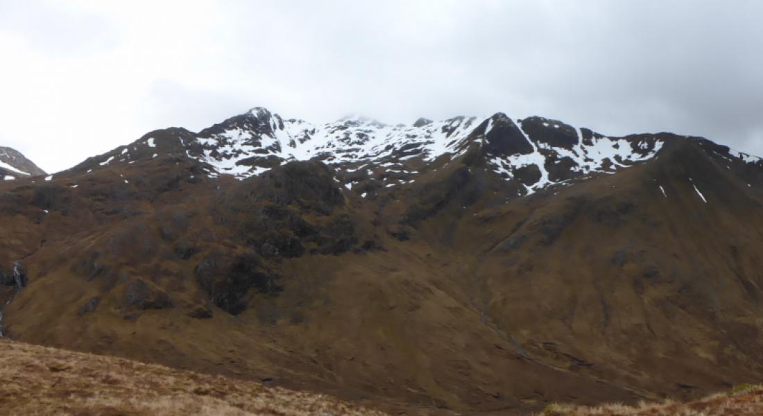
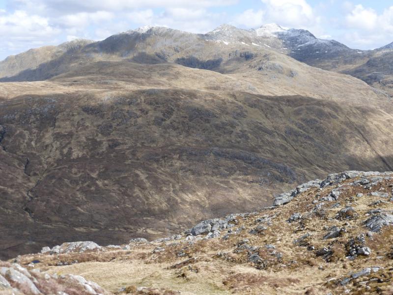
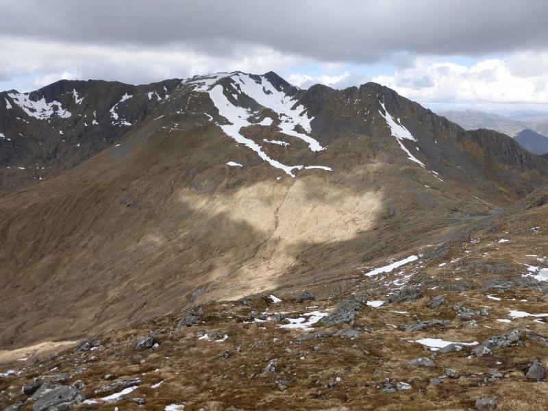
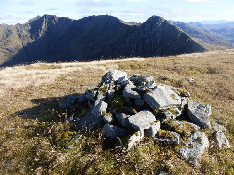
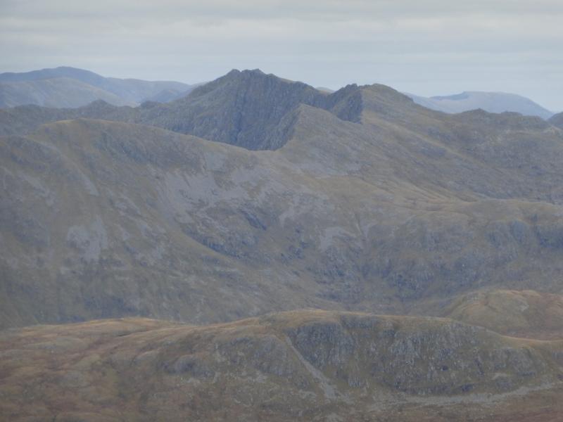
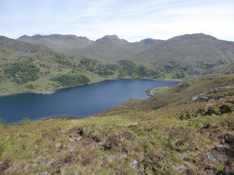
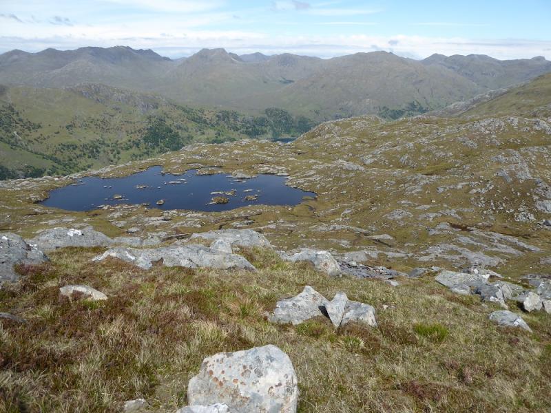
This is a tough walk which can include the sharp crest of the Forcan Ridge which is a serious and exposed scramble. Even the avoiding path is a scramble with some exposure and can be worse than the crest as it seens little sunlight during the darker months so may be icy. It is a very serious undertaking in anything but dry summer conditions and is no place for the inexperienced in winter conditions. On a clear day there are superb views to the Five Sisters, Sgurr na Sgine South Glen Shiel Ridge, Beinn Sgritheall, Rum, Eigg and the Cuillin so save this walk for a clear day.
Route
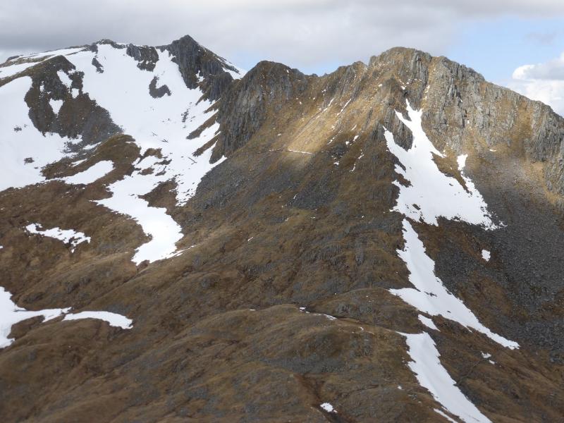
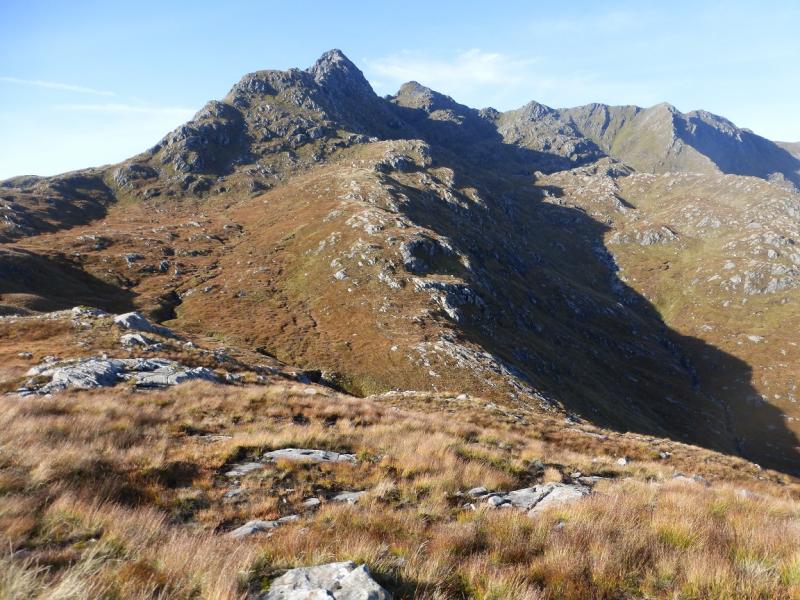
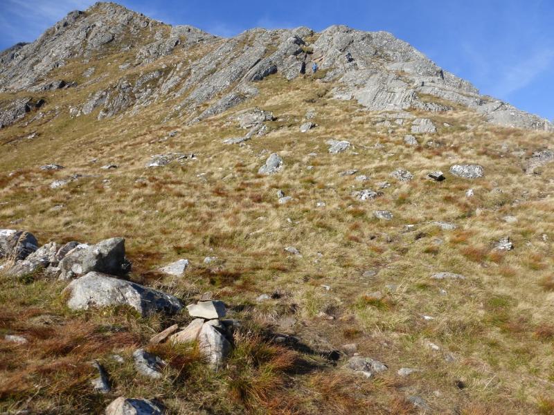
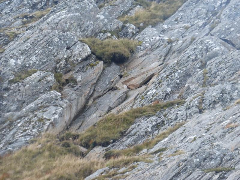
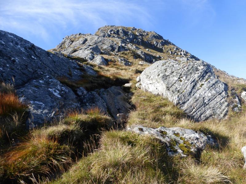
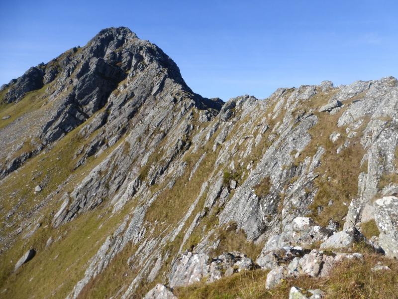
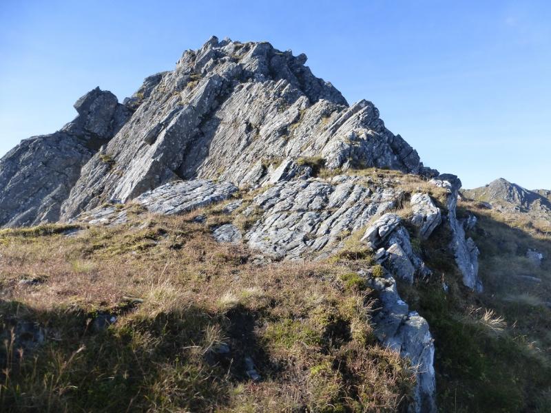
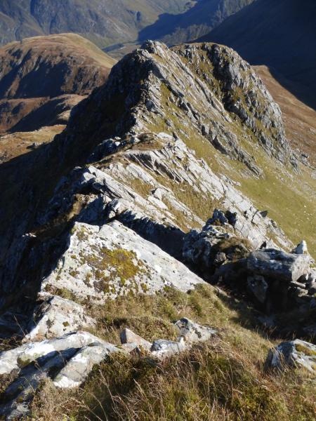
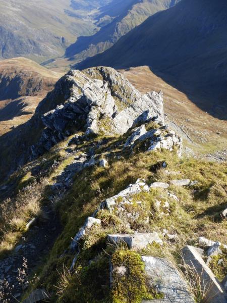
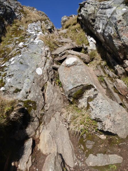
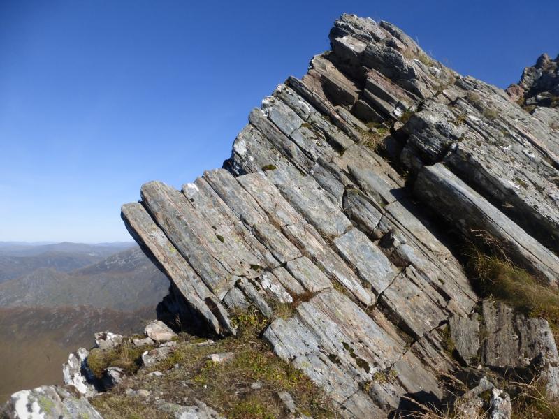
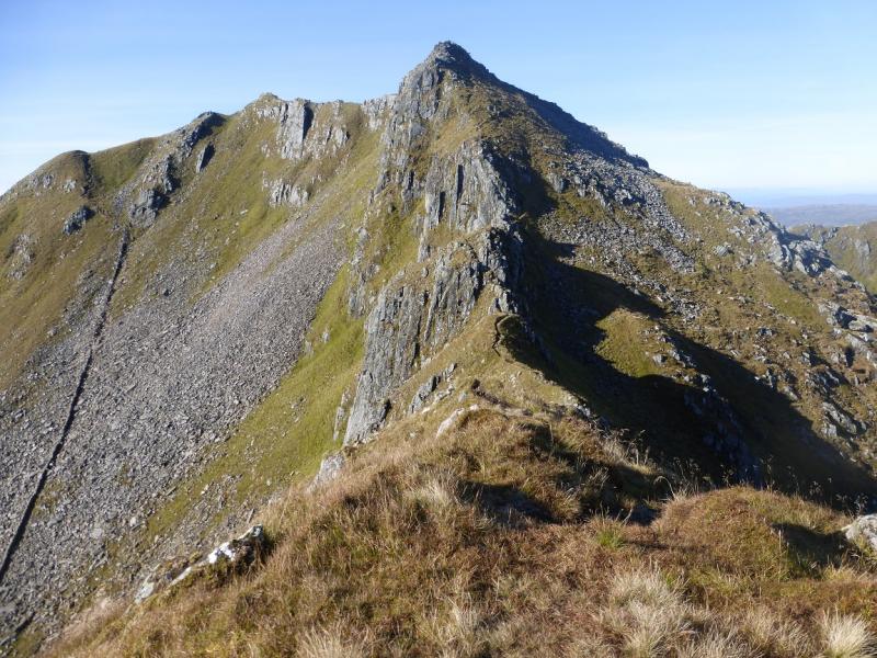
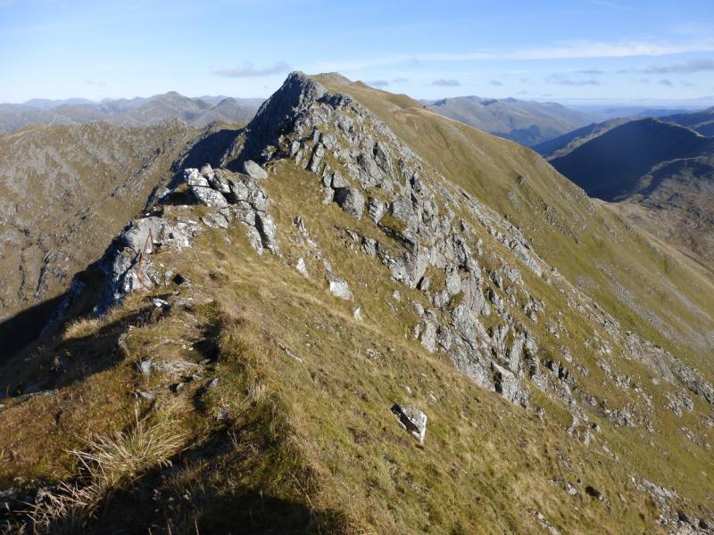
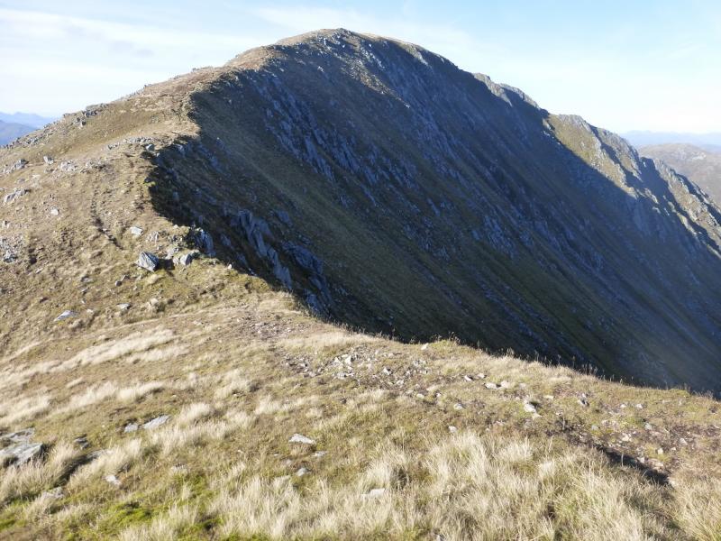
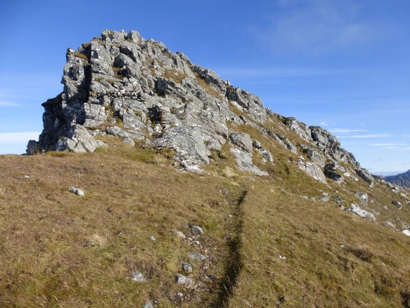
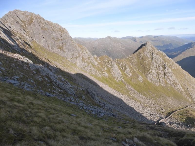
(1) Take the path from the A87 which soon passes through a wide gate then weaves its way up the hillside to the bealach (col) between Meallan Odhar and Biod an Fhithich. Continue on the path which traverse Meallan Odhar on its NW side. After about 1 km, reach a small cairn below the Forcan Ridge where the path divides. Take the right fork which quickly leads to the foot of the ridge. Initially, it is a walk but very soon a route across a slabby groove has to be taken on. It is a bit exposed but there are plenty of holds. Continue up easily to reach the crest and follow this up. Keeping to the crest will involve steep and exposed scrambling. Taking the avoiding path, initially on the right, avoids much of the crest but the ground is still steep and exposed in places and may be icy as it receives little sunlight. Continue up, choosing a route in keeping with your experience and ability. Eventually, reach the top of Sgurr na Forcan, 963 m, which, on 13/10/2015, had no cairn.
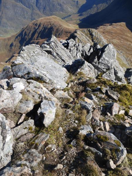
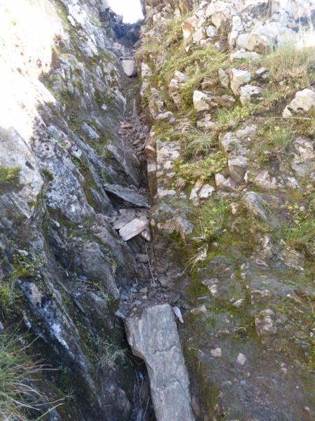
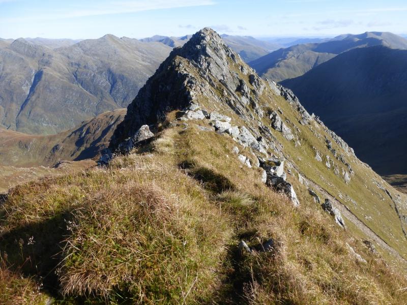
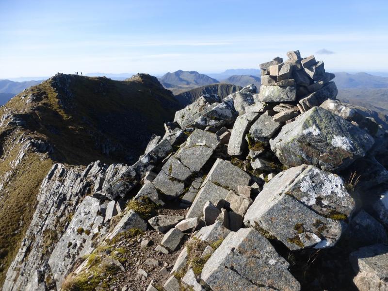
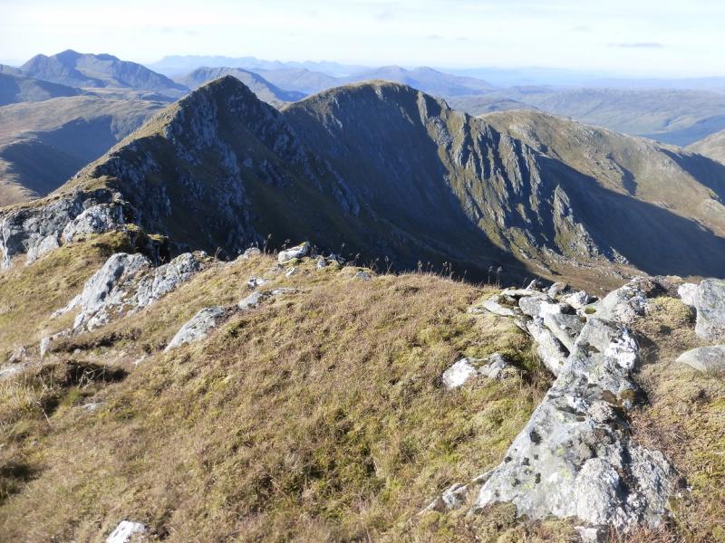
(2) Either continue ahead which involves a serious and exposed scramble down to the ridge below or go left down a steep and eroded gully. At the bottom of the gully, go right and descend a narrow rocky groove then ascend back to the crest on an obvious path. The crest is till quite rocky. Continue and reach a slightly lower top then continue up, E ridge, to reach a medium cairn which is the true summit of The Saddle, 1010 m.
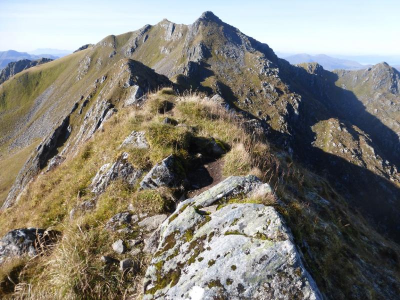
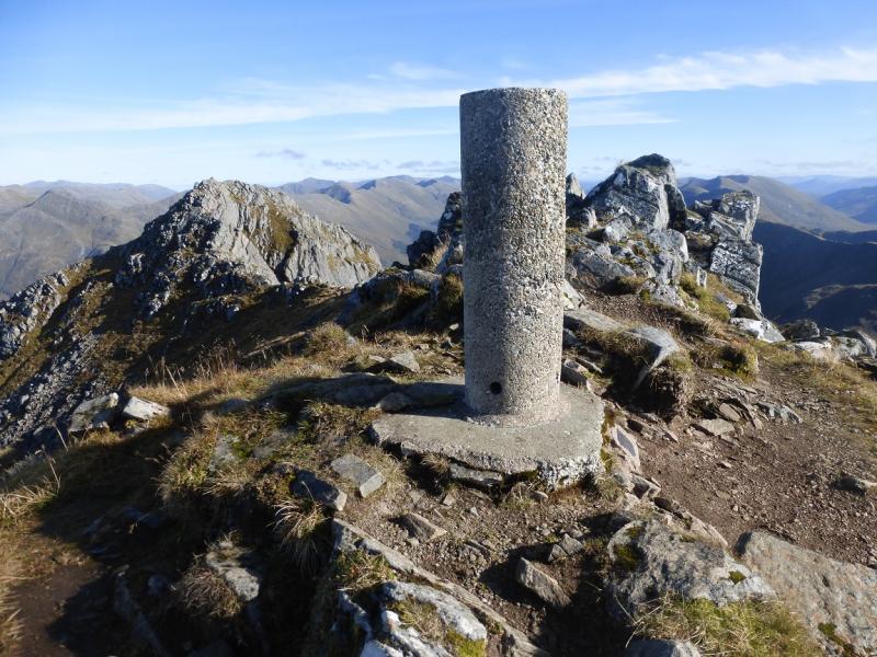
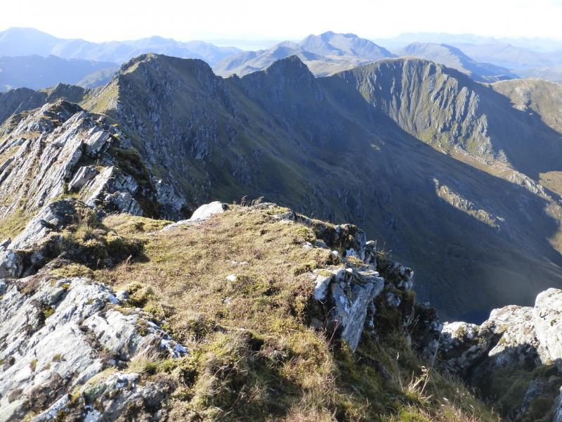
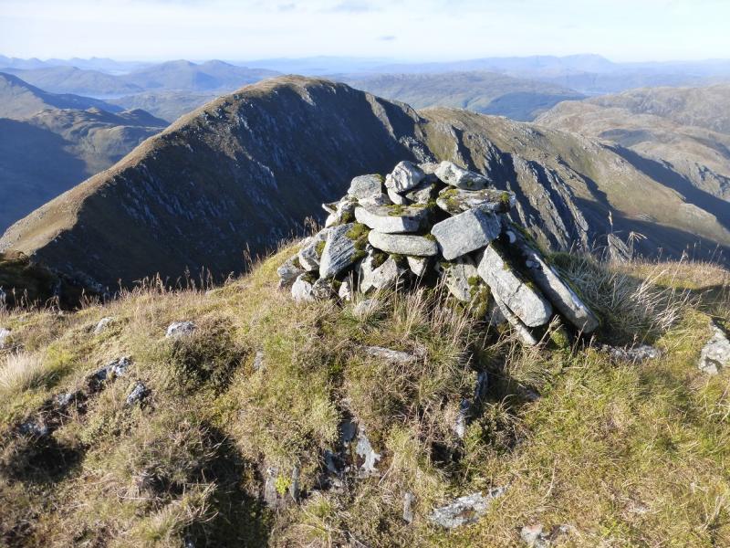
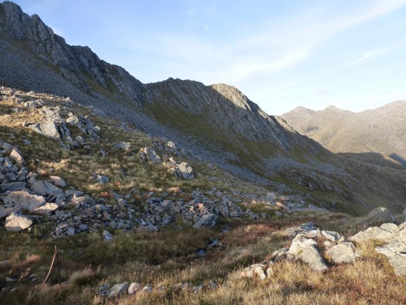
(3) Go W along a crest which is initially rocky to reach a trig point which is slightly lower than the summit but is a better place to rest. Continue along the crest, still rocky and awkward in places, to the W Top then continue on the path, close to the edge on the right, which descends to a well defined bealach before rising up to reach a medium cairn which is the summit of Spidean Dhomhuill Bhric, 939 m.
(4) Continue along the crest, awkward in places, and descend to a bealach from where the S ridge rises up to reach a medium cairn which is the summit of Sgurr Leac nan Each, 919 m.
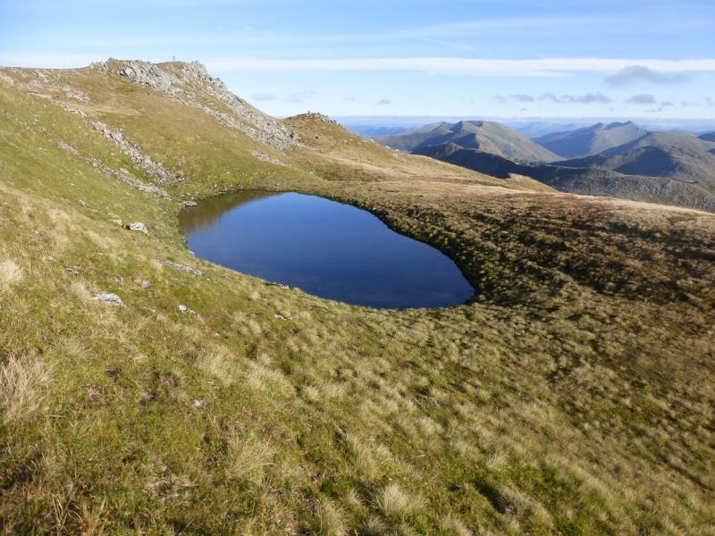
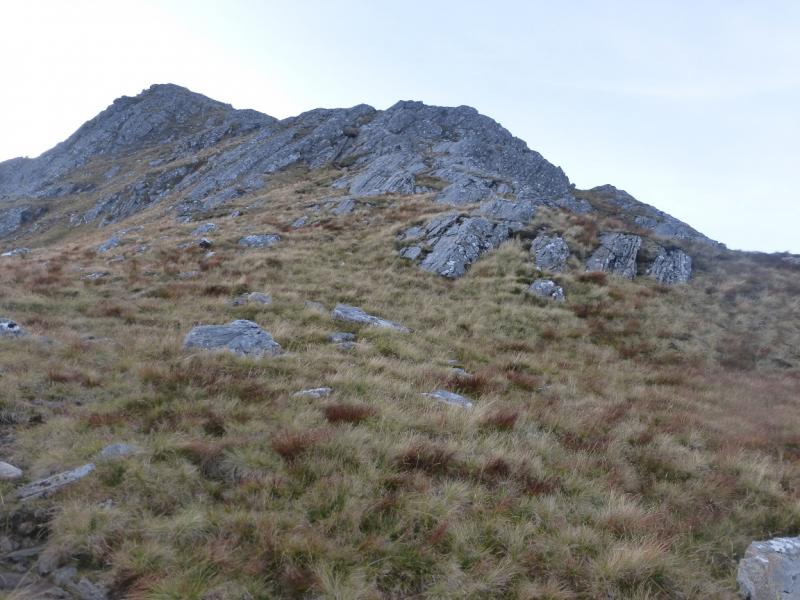
(5) Retrace, with all the loss and gain in height, to Spidean Dhomhuill then the W Top of The Saddle. Continue almost back to the trig point but leave the crest when the old fence posts do and pass the lochan below the trig point to reach the descent path heading roughly S from the trig point. Follow this path down. It is steep, eroded and rough. Lower down, it crosses a large boulder field and continues to two small lochans. The path gets very faint here so head roughly NE and descend to an old stone wall which has a very rough path on its near side. Follow this rough path all the way back to the small cairn where the path to the Forcan Ridge started then continue around Meallan Odhar and down to the start on the outward path.
Notes
(a) This walk took place on 13th October and twice previously.
(b) Accommodation is limited at Shiel Bridge but there are two camp sites. One behind the garage, the other at Morvich on the old road around Loch Duich. The latter is run by the Caravan Club and has very good facilities including Wi-Fi.
(c) Omitting Spidean Dhomhuill and Sgurr Leac nan Each can save 2 – 3 hours.
Photos - Hover over photo for caption. Click on to enlarge. Click on again to reduce.