Get Lost Mountaineering
You are here: Scotland » 04 Loch Leven and Loch Linnhe to Loch Ericht » Ben Nevis to Loch Trieg
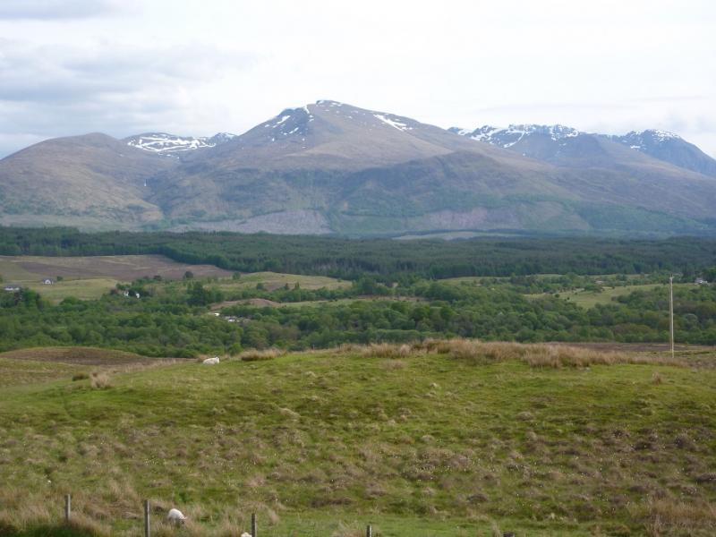
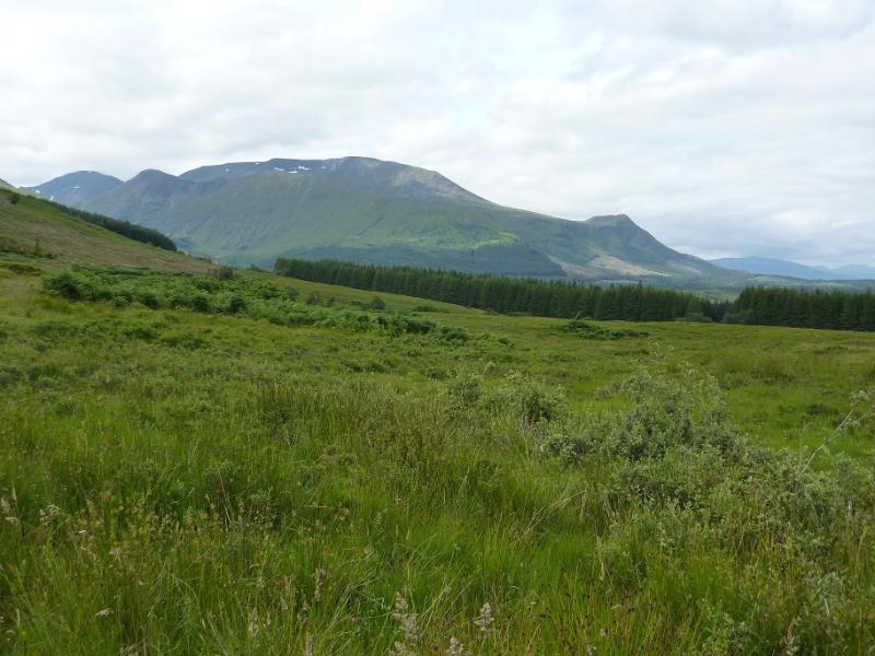
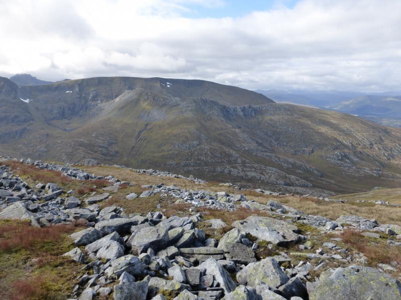
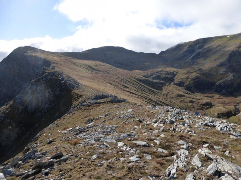
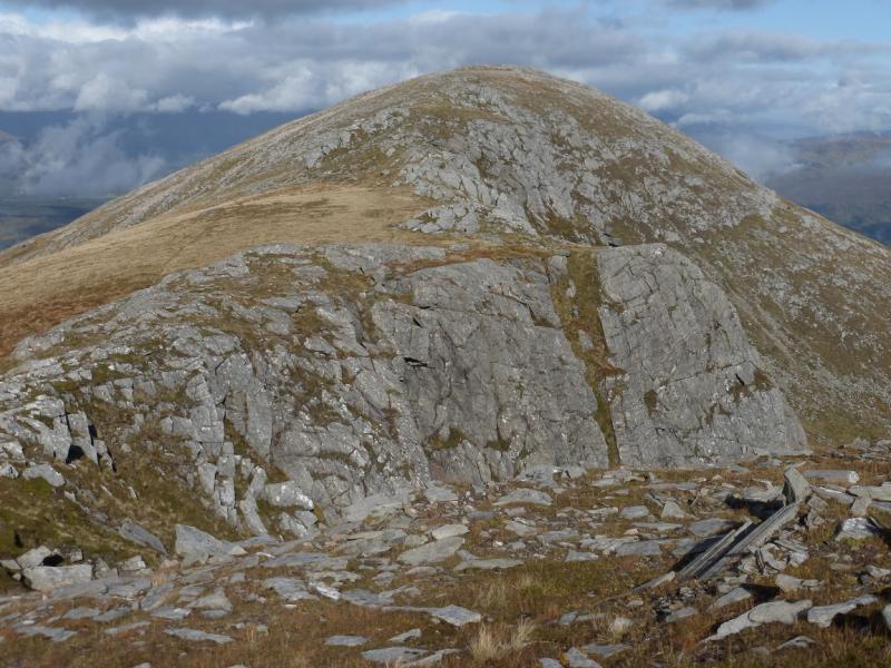
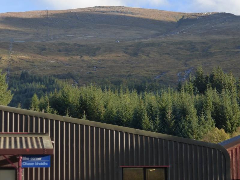
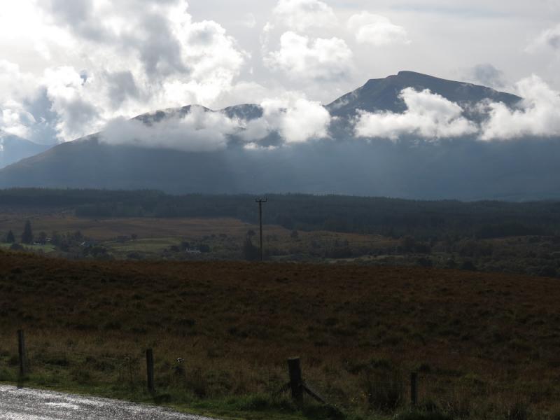
Aonach Mor from Nevis Range Car Park
Aonach Mor from Nevis Range Car Park
Start/Finish
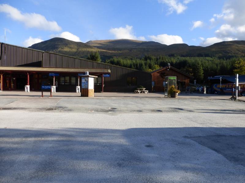
Nevis Range car park otherwise known as the Aonach Mor Gondola which is signposted off the A82 about 4 miles north of Fort William. There is plenty of free parking.
Distance/Time
12 km About 5 hours (assuming gondola is used)
Peaks
Tom na Sroine, 918 m, NN 207 745.
Stob an Cul Choire, 1068 m, NN 203 731.
Aonach Mor, 1221 m, NN 192 729. OS Sheet 41.
Introduction
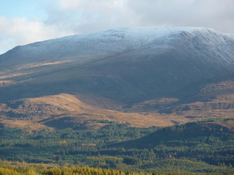
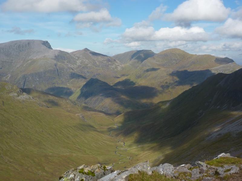
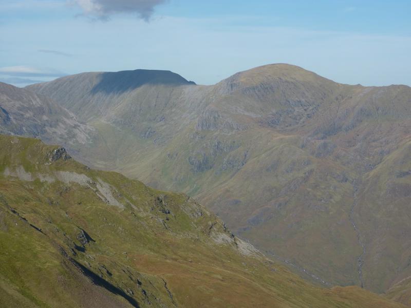
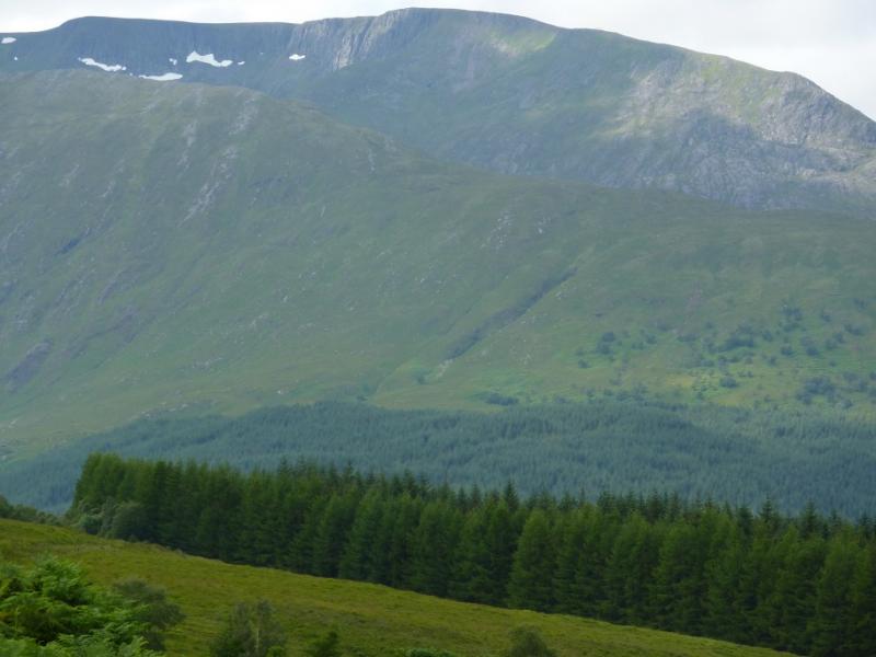
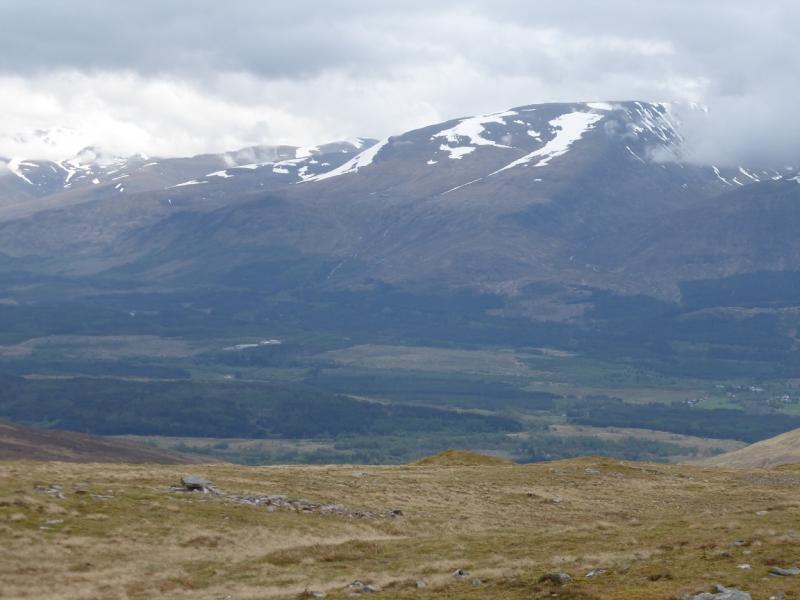
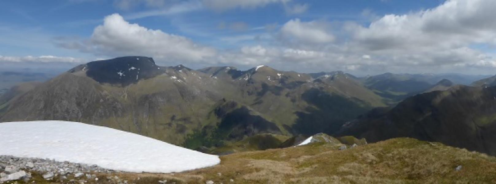
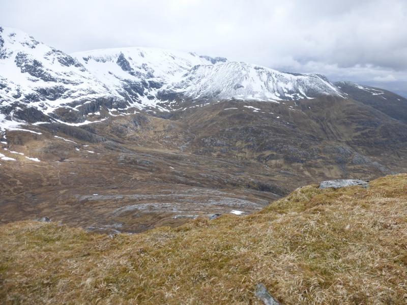
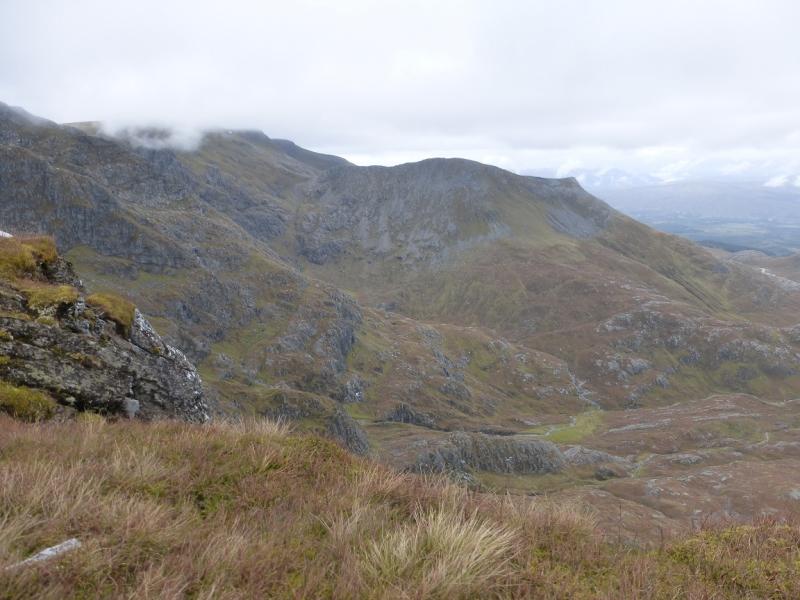
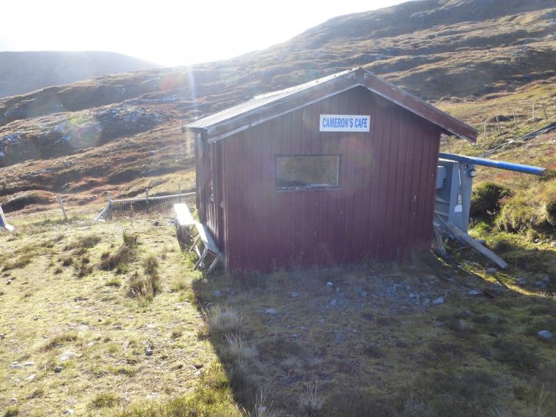
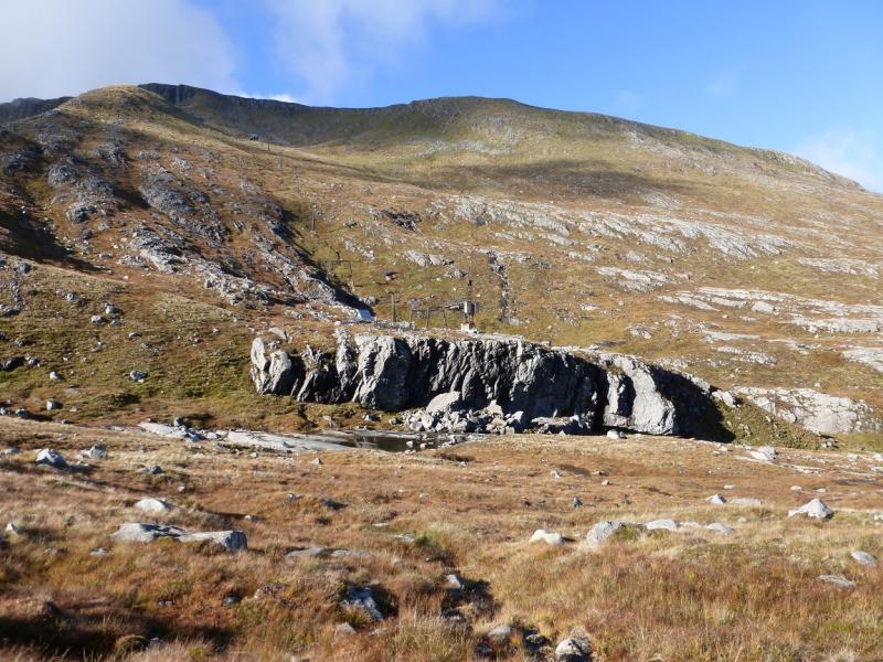
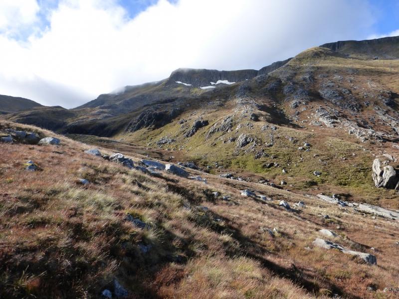
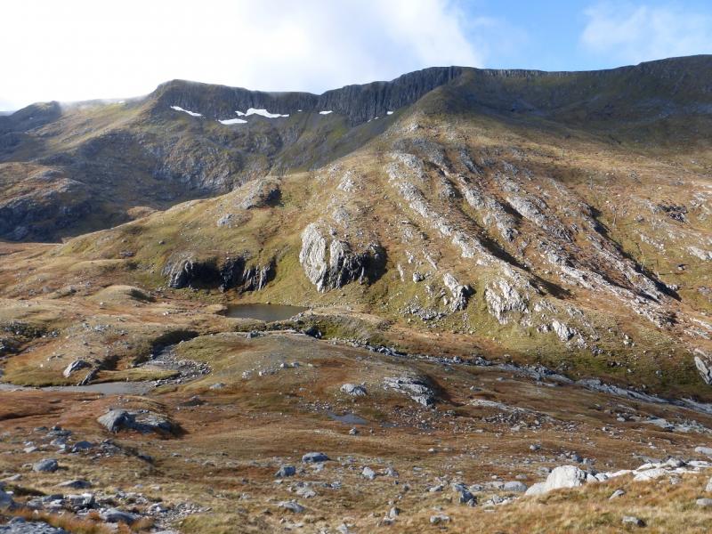
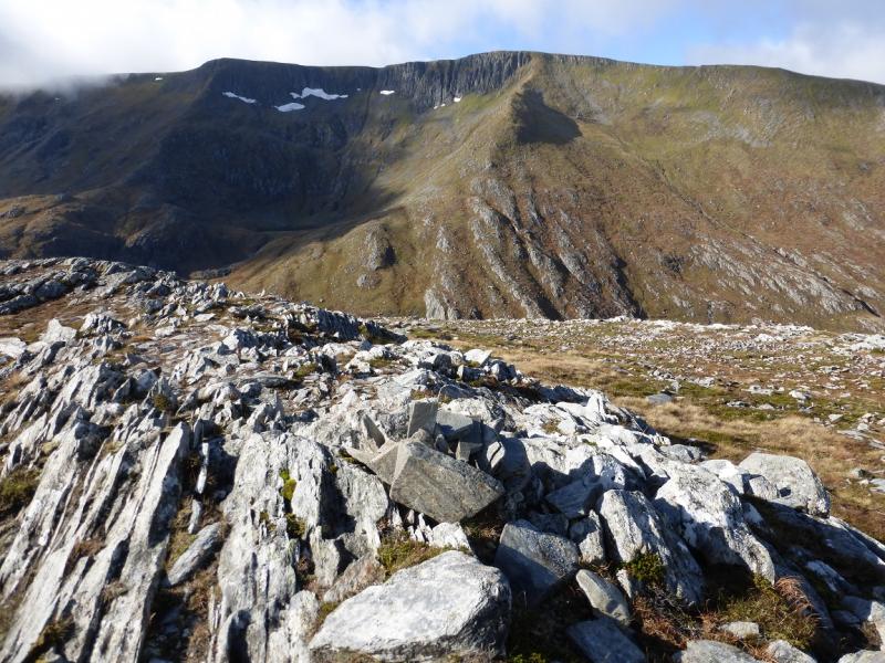
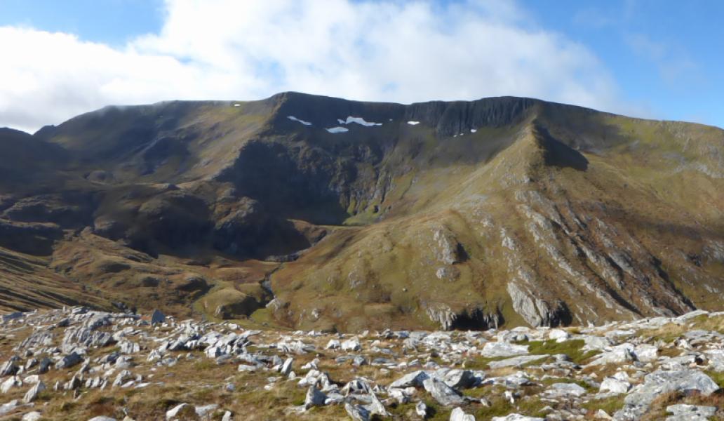
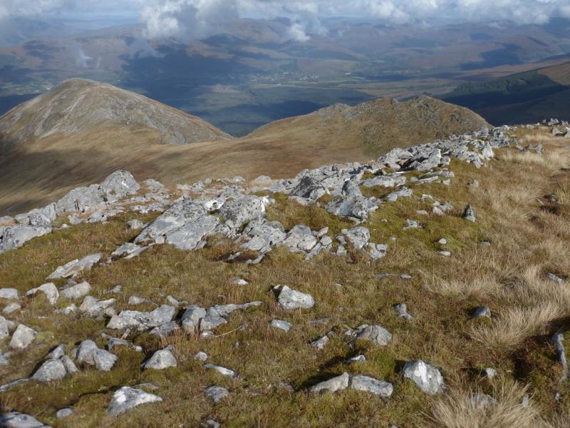
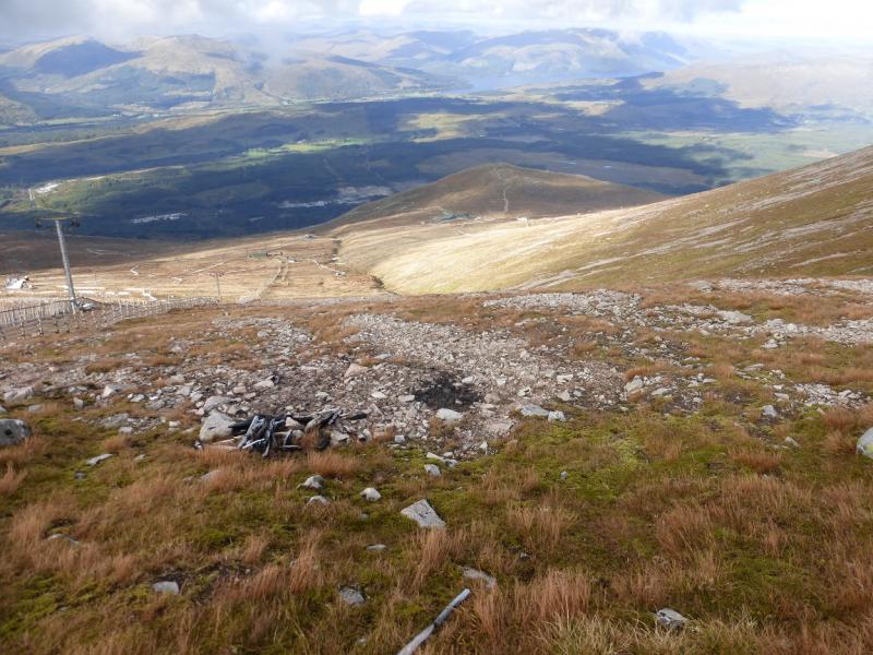
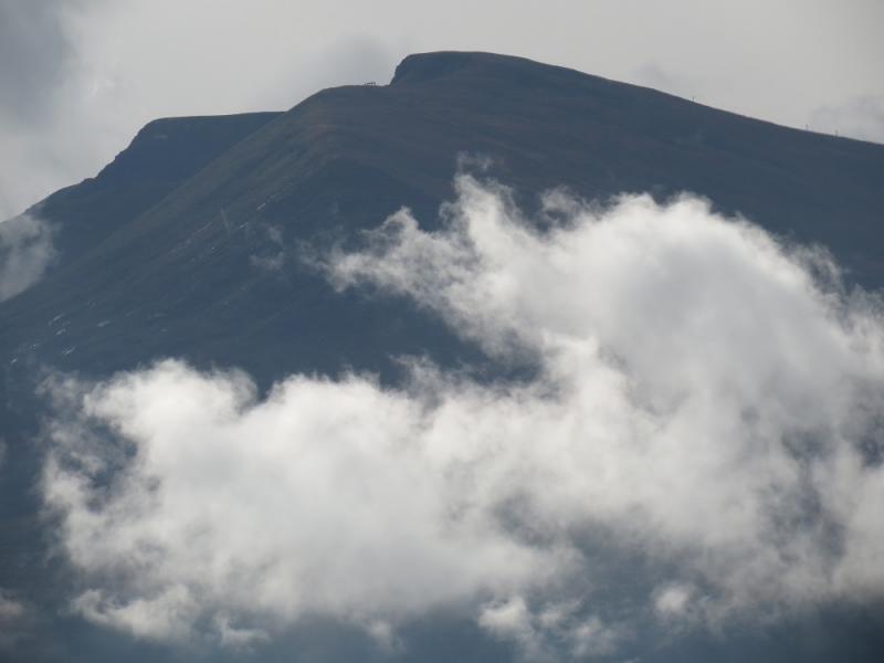
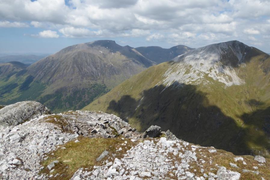
Aonach Mor is essentially the northern spur of Aonach Beag and some would argue that it does not have sufficient drop to be a separate Munro. That apart, it is a very large mountain with a huge summit plateau. The creation of the Nevis Range Ski Development with the gondola cable cars able to take one about halfway up have made it more accessible than it once was. The skiing has grown over the years with many chair lifts across the western and northern flanks. This can make the mountain very busy in Winter. Since about 2000, mountain biking has been promoted and there are several major events during the summer months. There are two major trails which look like footpaths but with priority given to mountain bikers so they are effectively unavailable for walkers during the mountain biking season which means that walkers must either find another route up or use the gondola (£12 return in 2015). Autumn is a good time to visit as the mountain bike season finishes well before the skiing season begins and it is worth making enquiries ahead of visiting. Above the top gondola station there are, surprisingly, no footpaths to the summit but the ground is not too difficult to walk across. This route crosses the north eastern corrie and ascends by the ridge to the east which curves around to the summit before descending through the ski area; it is probably the best walking route on the mountain. It also delivers one to the summit more accurately than any other oute. In good weather, the views are breathtaking and include Ben Nevis, Carn Mor Dearg, the Choinnichs, Grey Corries and Aonach Beag. From the cafe by the top station, there is a panoramic viewfinder photograph with all the mountains labelled. On a clear day, one can see as far as Ladhar Bheinn in Knoydart.
Route
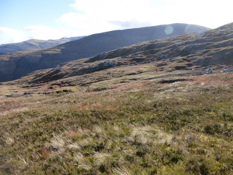
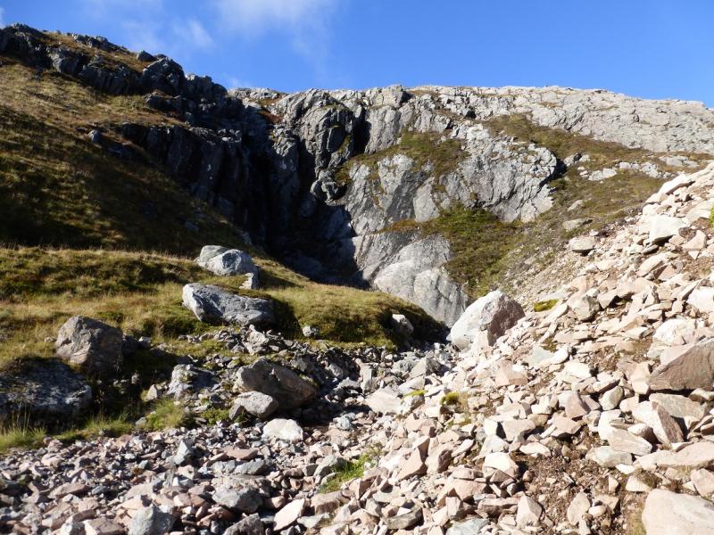
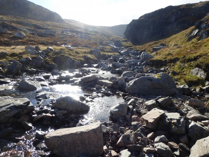
(1) From the top gondola station, follow the track signed for Sgurr Finisg-aig but leave it fairly quickly and follow the obvious chair lift to its end by a small cafe. From here, contour around, roughly NE to the main stream draining the north eastern corrie. This is normally easy to cross but might be a problem in spate conditions. Another chair lift comes down from the Aonach Mor crest to finish on a flat topped crag above the stream. Try to cross downstream of this if possible then pick a way E up grassy/stony slopes to gain the rocky crest which can be followed S to a small cairn marking the highest point of Tom na Sroine, 918 m. If the stream has been crossed too high up then it may be necessary to walk N along the crest to the summit.
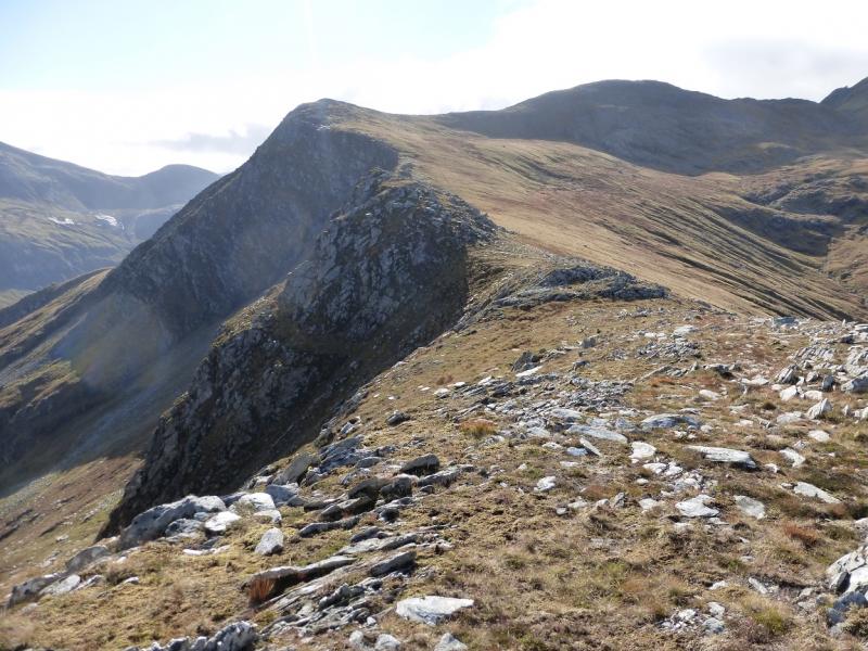
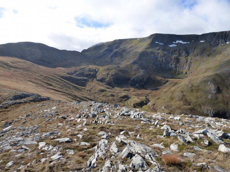
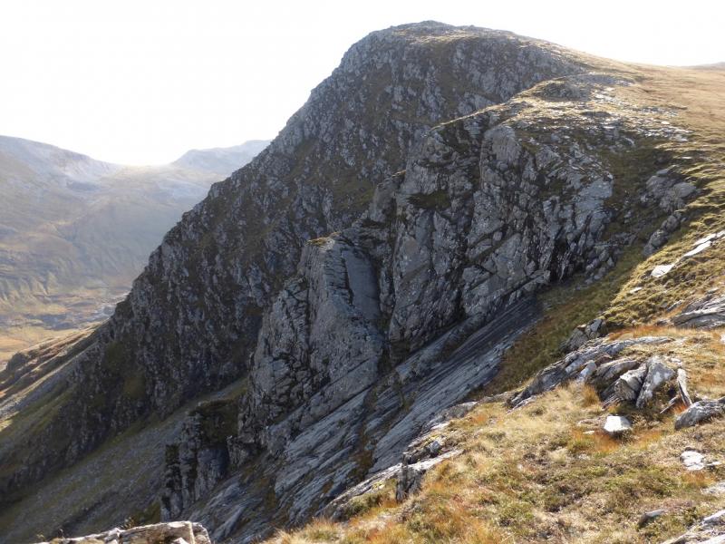
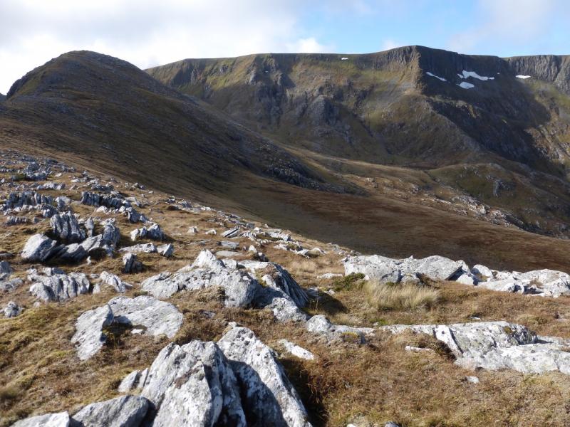
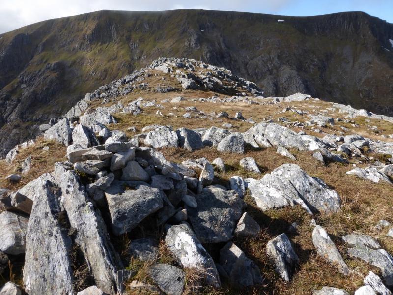
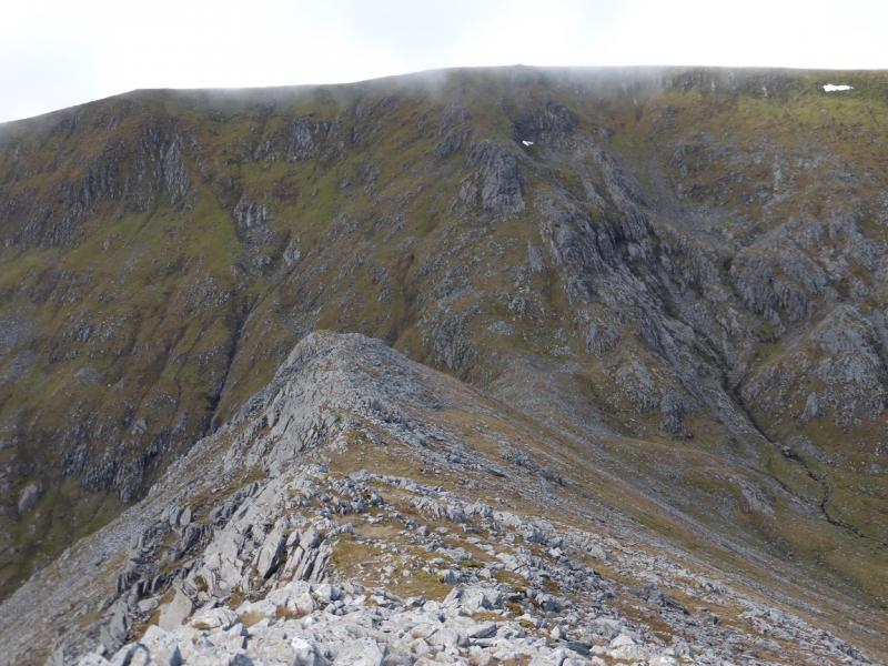
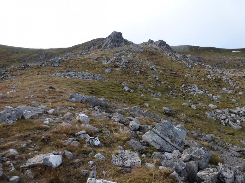
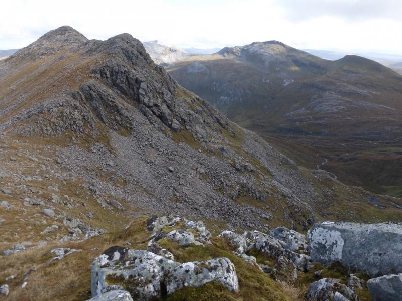
(2) From the summit, head roughly S on a developing path which tends to take a more direct route towards Stob an Cul Choire but it is better to follow the edge, on your left, which will take one over a minor top then up on to the NE top of Stob an Cul Choire with some good views down to the left including some steep continuous slabs. From the NE top, continue along the edge, SW then W, to reach a medium cairn which is the summit of Stob an Cul Choire, 1068 m. There is another very small cairn a little further.
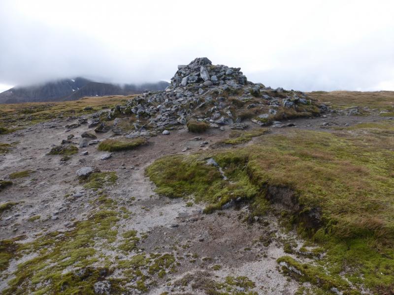
(3) Continue along the crest, which is now quite rocky but not technical, and descend to a bealach (col). A path leads up the other side, steep in places, and passes to the right of a very prominent prow before continuing up to the plateau. Continue ahead and soon reach the large cairn, on the featureless plateau, which is the summit of Aonach Mor, 1221 m.
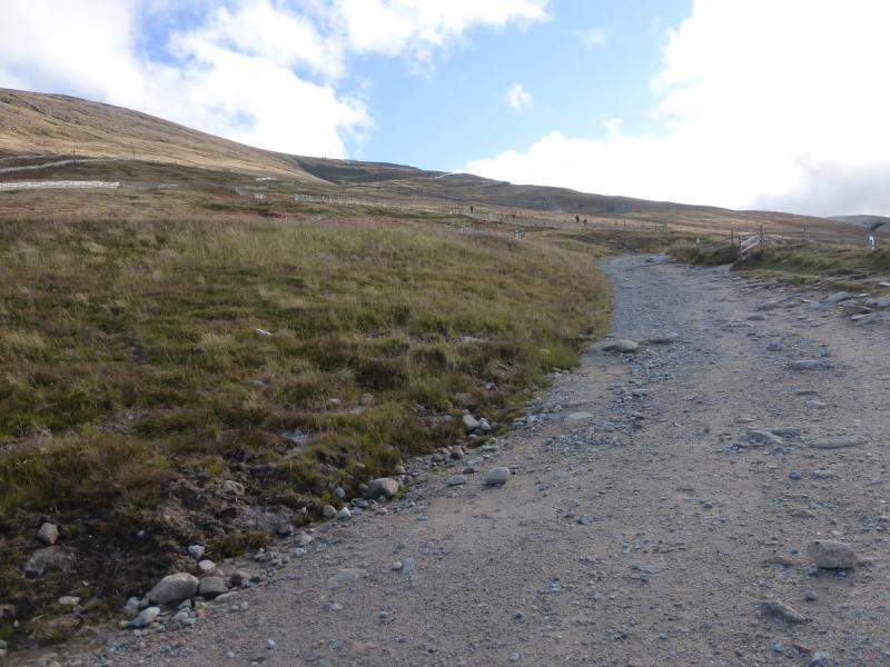
(4) Head roughly N, on a path, to reach the edge of the plateau where there are ski tows and fences. The gentlest way down is to follow the ski area and chair lift heading roughly NNW, descending about 500 m. At the bottom are some sheds, etc. As they are approached, look for a bridge to the right after which there is a path back to the gondola. Alternatively, continue down to reach a track then turn right to reach the gondola.
Notes
(a) This walk took place on 8h October, 2015, and twice previously by similar routes.
(b) If not using the gondola, add about 5 km and about 2 – 3 hours.
Photos - Hover over photo for caption. Click on to enlarge. Click on again to reduce.