Get Lost Mountaineering
You are here: Scotland » 01 South of Oban to Stirling and Fife » Arrochar Alps
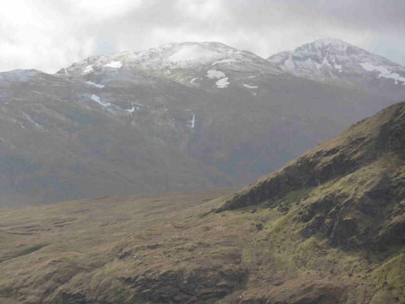
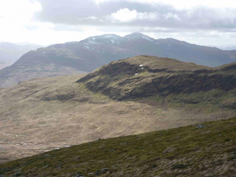
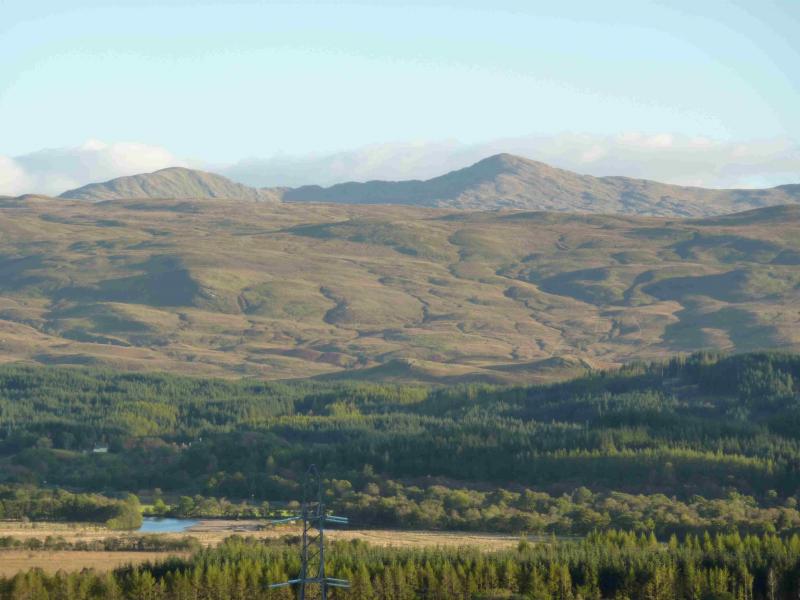
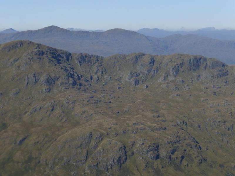
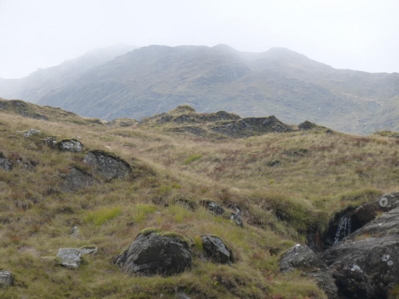
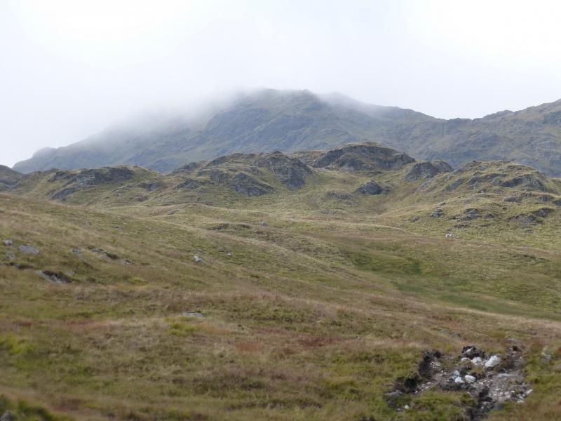
Beinn Bhuidhe from Glen Fyne
Beinn Bhuidhe from Glen Fyne
Start/Finish
Rough walkers' car park at the head of Loch Fyne which lies between the new A83 road and the loop formed by the old road. Both roads have bridges across the River Fyne. The approximate grid reference is NN 193 127. The start lies between Inverary and Arrochar, both on the A83.
Distance/Time
20 km. About 8 hours (Walking only).
Peaks
Beinn Bhuidhe, 948 m, NN 203 187. OS Sheet 50 or 56.
Introduction
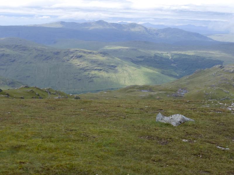
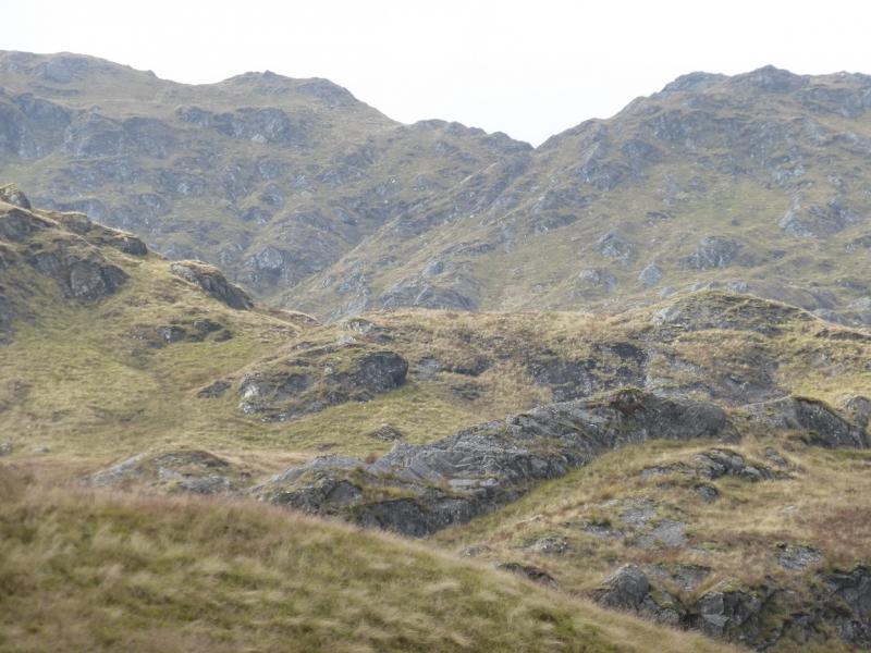
Beinn Bhuidhe is not a particularly popular peak as it is quite remote and the paths up it can be steep, wet and boggy – even in a dry spell! However, it does give good views to the other Arrochar Alps, Beinn a' Chleib, Ben Lui, Meall an Fhudair and Beinn Damhain. Access, paths apart, has been made easier by new hydro tracks. One of these reduces the exposure to poor paths to a minimum. Many ascend from the old house at Inverchorachan, about 7 km up Glen Fyne and it is possible to cycle to within about 1 km of the house – much of it on a fairly level tarmac road. Thus about 12 km of walking can be replaced by easy cycling, saving about 2 hours. If the new hydro tracks are used then only about 4 km of the walking can be cycled but the ascent and descent by the Beinn Bhuidhe Burn from Inverchorachan are avoided. Using the new tracks makes Beinn Bhuidhe accessible on a short Winter's day if one does not mind walking on tracks in the dark! This route goes to Inverchorachan, up the steep N side of the Beinn Bhuidhe Burn, up the ridge to the NE Top, along the crest to Beinn Bhuidhe, down the main (and unpleasant) path to intersect with the new hydro track then down this following the Newton Hill branch to get back to Glen Fyne. Other options are in the notes below.
Route
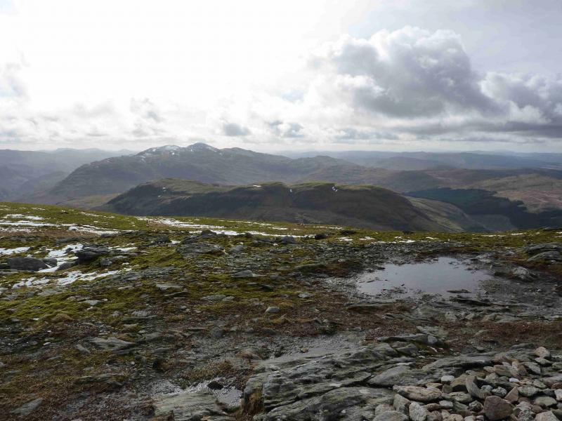
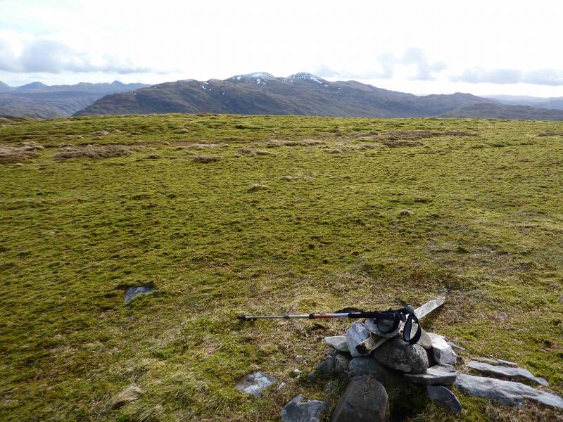
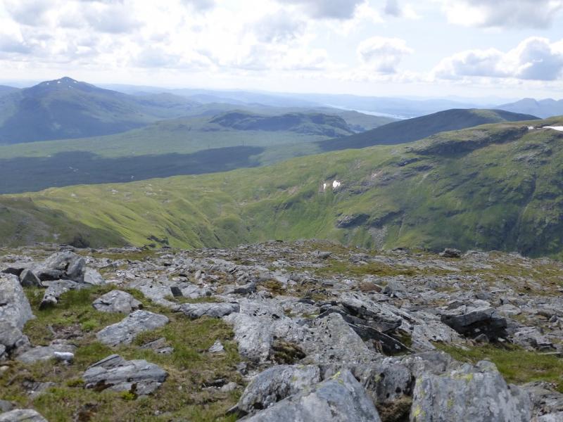
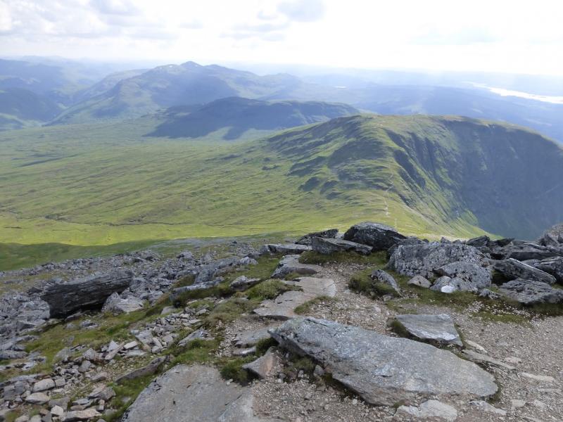
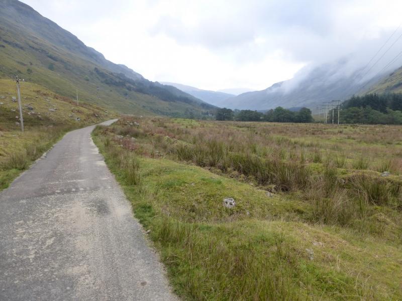
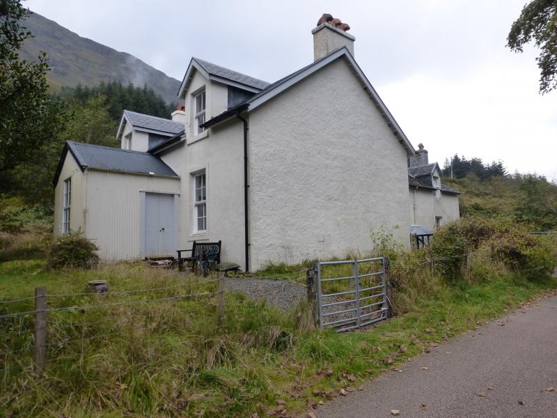
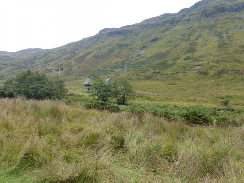
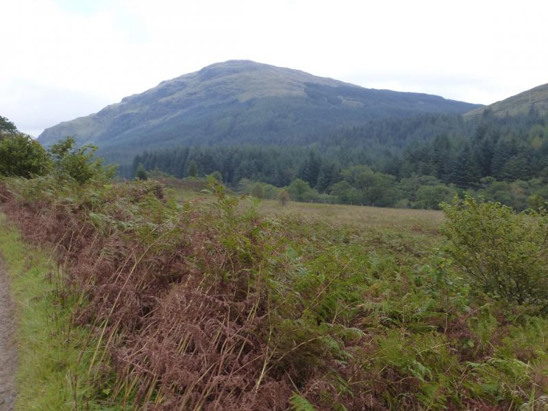
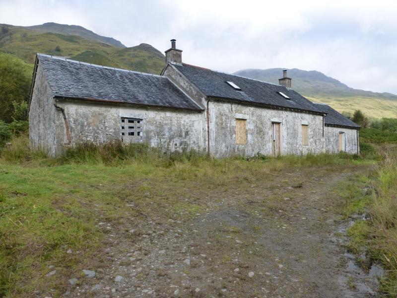
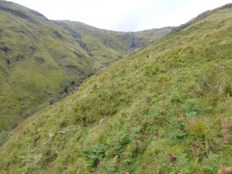
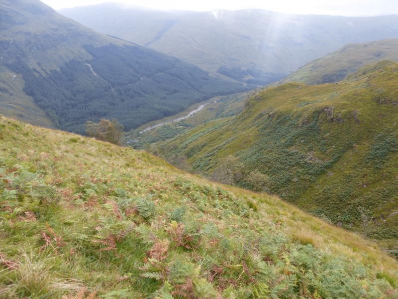
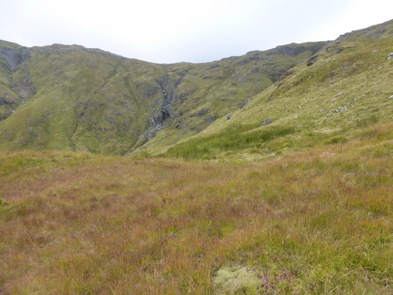
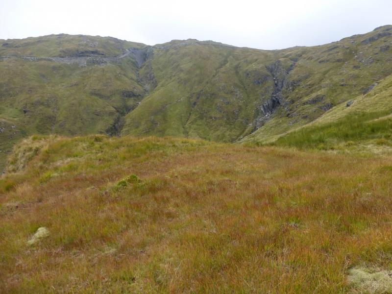
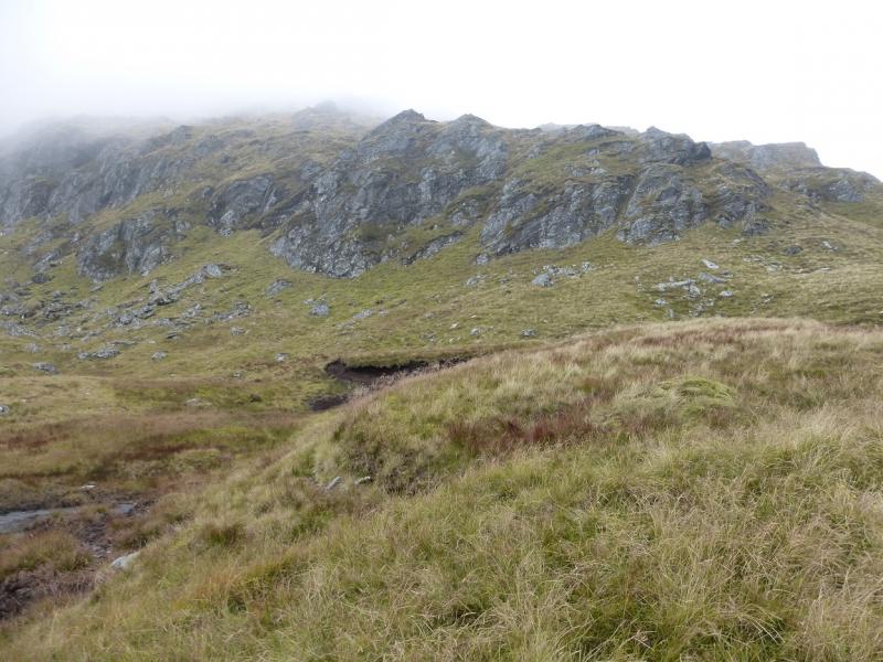
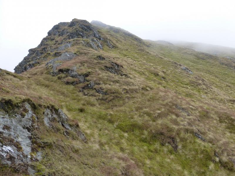
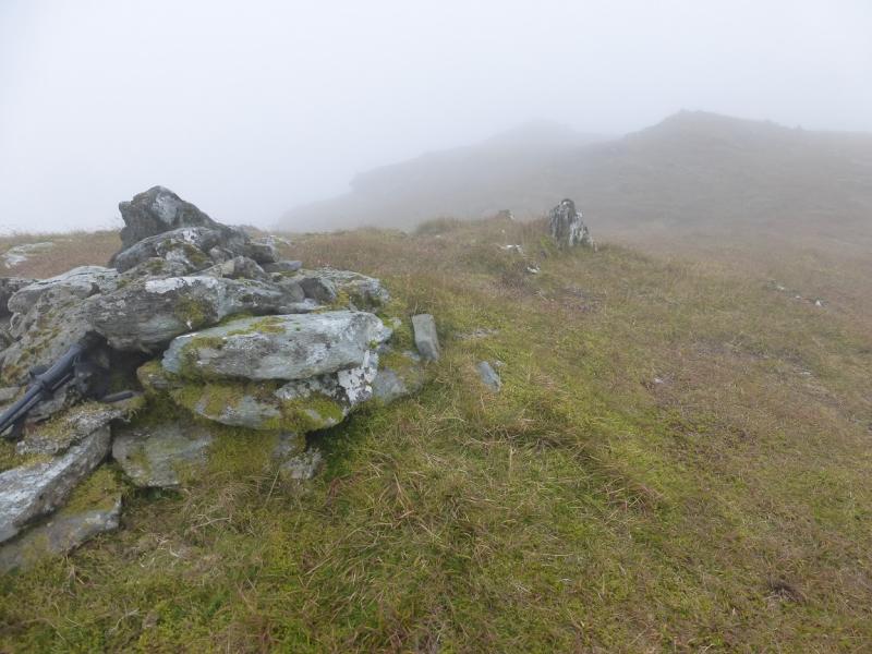
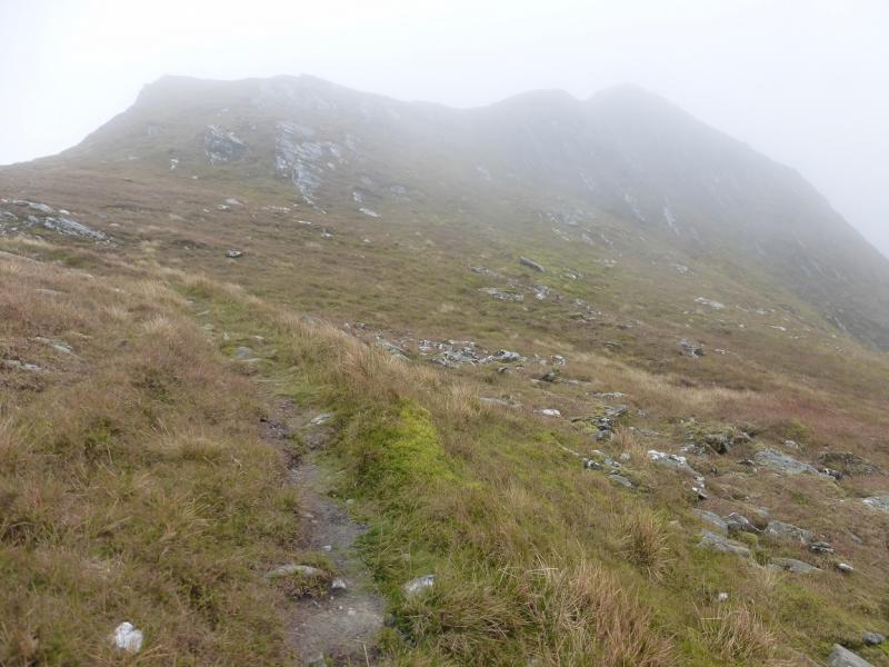
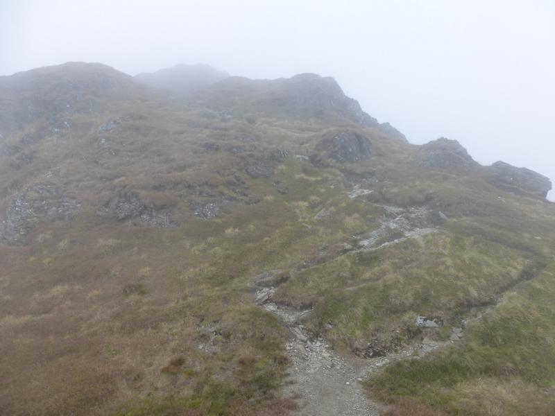
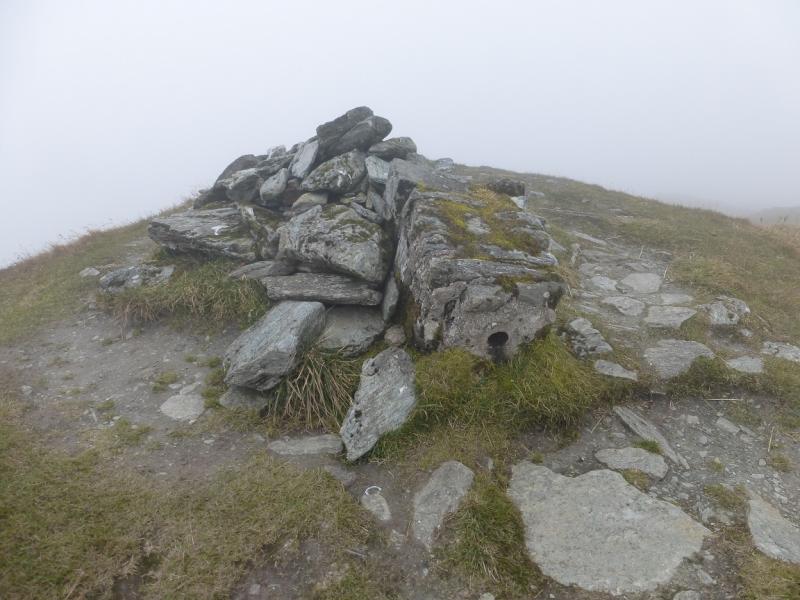
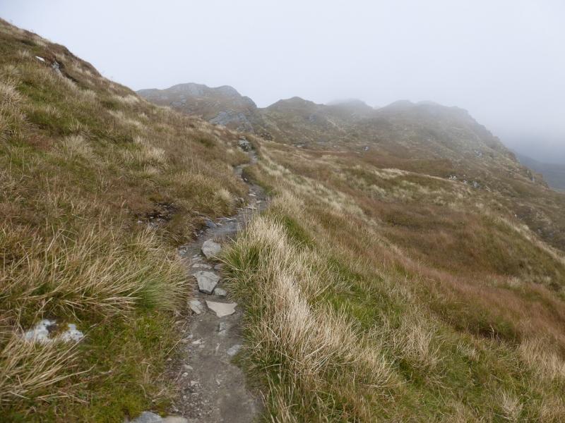
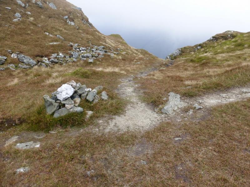
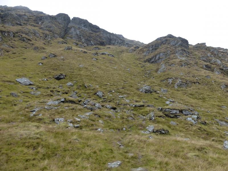
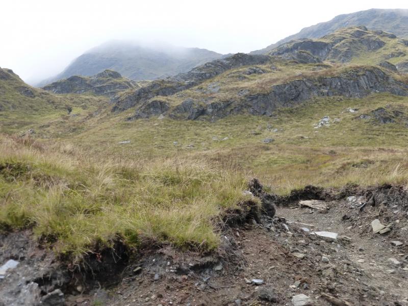
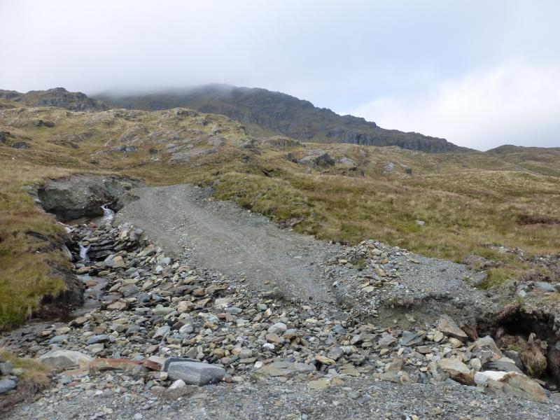
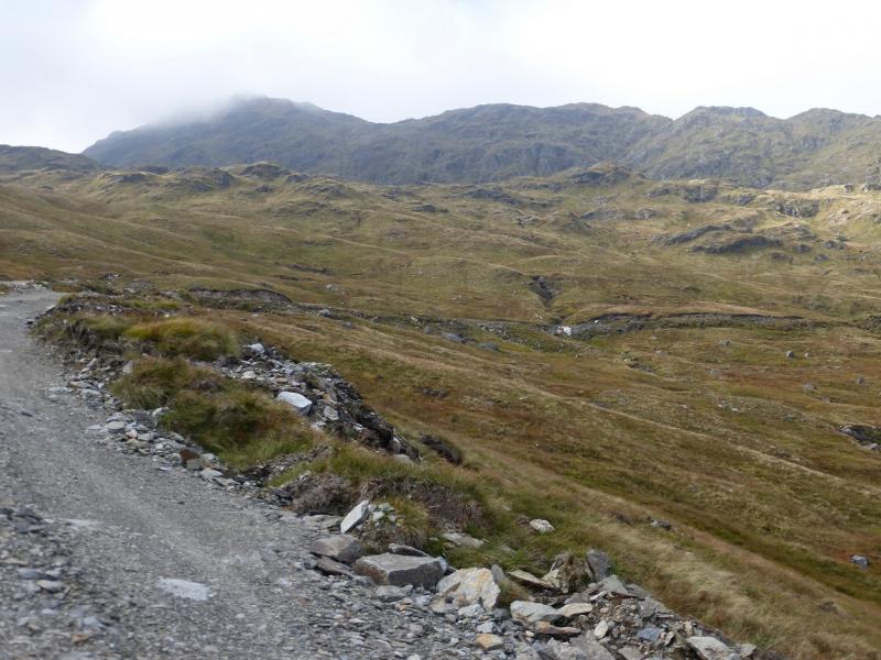
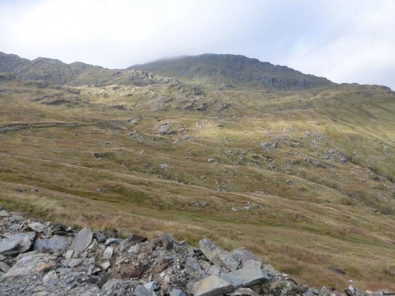
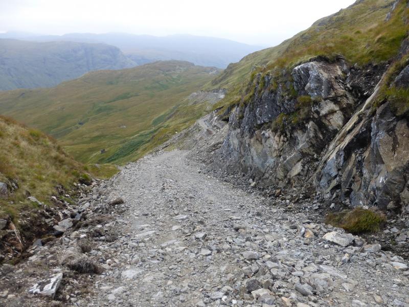
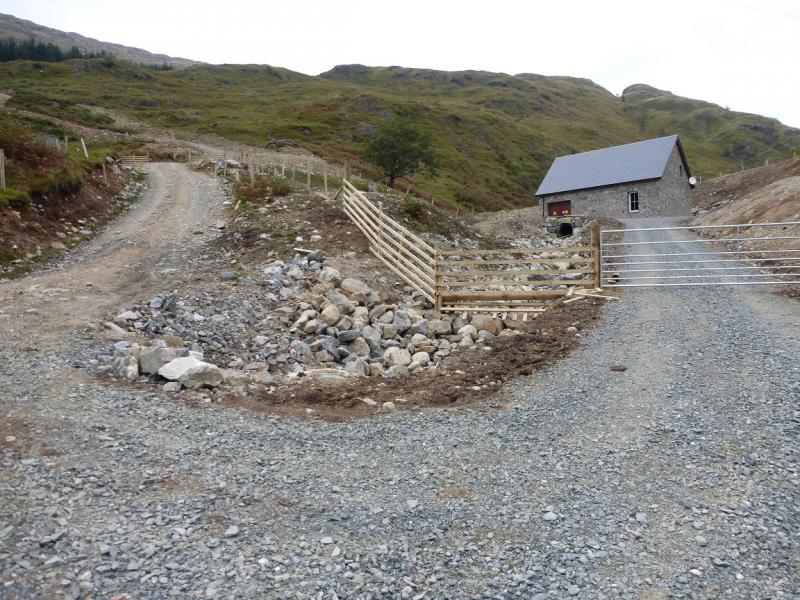
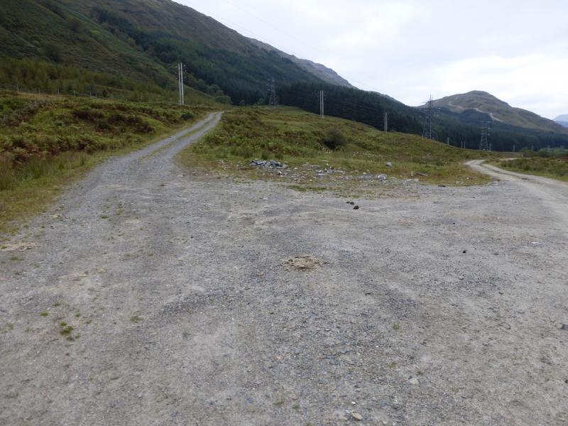
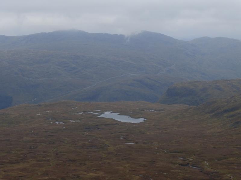
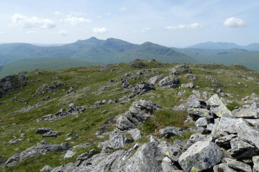
(1) From the walkers' car park, follow the old road across the old bridge then go left on the tarmac road which leads past Glen Fyne Brewery. Continue up the tarmac road which crosses the river after about 3 km. Continue, still on the tarmac road for about another 2 km, past Glen Fyne Lodge and other buildings, to where the tarmac road recrosses the river. Leave the tarmac road here and continue straight ahead on a rough track but still cycleable. After about another 1 km, there is a gate at which cyclists are asked to leave their bikes. Continue on foot, for about another 1 km, to reach Inverchorachan, an abandoned house. Just past here is the Beinn Bhuidhe Burn, crossed by a bridge with a sign saying “Do Not Use”. However, this is thought to only apply to vehicles and the bridge looked perfectly okay to walk across on 2/10/2015. Look for a faint path just over the bridge which heads up, initially by the burn. The path can be hard to follow and one may end up on steep and deep grass. Continue up, gradually drifting right away from the stream and finding the occasional hint of a path. The path on the S side of the burn can be well seen and you may wish you had taken it but it is just as unpleasant, if not more! Continue up, using minor grassy ribs where possible, and eventually reach the new hydro track. Follow this to its end, at a burn, cross over and pick a way up the ridge heading roughly WNW. There is some optional scrambling or one can simply walk up the rough grass. The ridge leads to a small cairn which is the NE Top of Beinn Bhuidhe. This seems to be above Munro height and, in some parts of Scotland would be classed as a Munro Top. The continuation from here is obvious in clear weather, a descent of about 60 m then an undulating crest walk, roughly SW, for about 1 km. There is no path until one gets nearer to Beinn Bhuidhe when a good one leads to a cairn at a T Junction. Continue ahead and follow the best path of the day meandering up to the medium cairn containing a fallen trig point which is the summit of Beinn Bhuidhe, 948 m. In mist, the section from the NE Top to the summit can be very confusing as the crest is much more complex than the map suggests; many will appreciate the reassurance provided by GPS in such conditions.
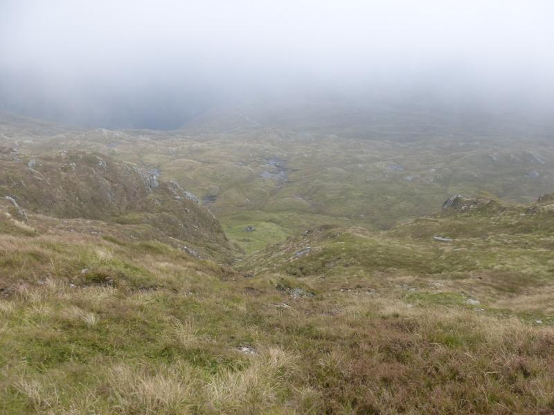
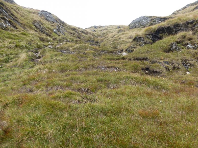
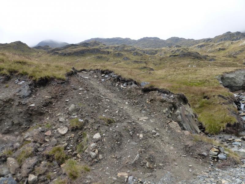
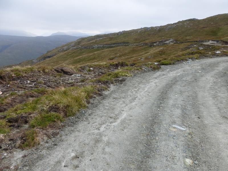
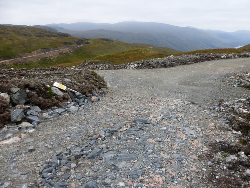
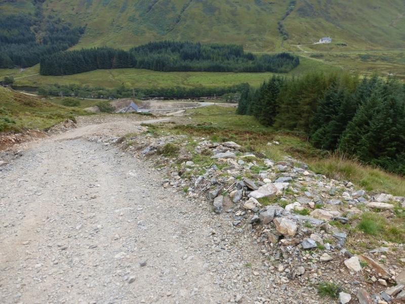
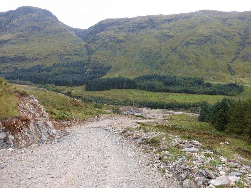
(2) Retrace back to the cairn at the T junction and turn right. The section from here to the new hydro track, clearly visible in clear conditions, is quite unpleasant. There is an eroded stony “groove” to descend, a boggy level section, another shallow and more boggy “groove” then a fairly level section to intersect with the new hydro track. Turn right on to the track and follow it down. It has a couple of steep sections before it reaches a new small reservoir after a short uphill section. Soon after, the track splits. Go left, towards Newton Hill, and follow this track down to Glen Fyne. The track steepens near to its foot. Once in the glen, turn right and follow the track (becomes a road later on) for 3 km back to the car park.
Notes
(a) This walk took place on 2nd October, 2015, and twice previously from Inverchorachan and using both sides of the Beinn Bhuidhe Burn as the new hydro tracks were not in place then.
(b) An alternative approach from Inverchorachan is to take the more obvious but, in places more unpleasant, path up the S side of the burn. This eventually climbs out by the waterfall to reach the new hydro track. From there one can either cross over the track and walk up the path to the crest, described in descent above, or walk to the end of the track and climb the ridge to the NE Top – also described above.
(c) Those who are walking only and wish to minimise their exposure to steep and unpleasant paths should walk up the track on the W side of the River Fyne for about 3 km, just past the forest, to where the Newton Hill track climbs steeply by a hydro building. Follow this track to its end then ascend the ridge to the NE top or leave it when the path up the S side of the Beinn Bhuidhe Burn, from Inverchorachan, crosses it and take this boggy path up to the crest then on to the summit.
(d) The Newton Hill track is steep, especially lower down. It can be avoided in descent by ignoring the left fork after the small reservoir then taking the left fork soon after. This takes longer to reach the glen and is therefore less steep; it enters the forest lower down and meets the track in the glen just to the NE of the quarry/gravel works about 2 km from the start. To avoid the Newton Hill track in ascent using this option, take the track forking left, into the forest, just past the quarry on the W side of the glen. Probably the most pleasant way to the summit, whether or not the NE top is included, is to ascend and descend by this track.
(e) Other routes are possible by different combinations of the above options.
Photos - Hover over photo for caption. Click on to enlarge. Click on again to reduce.