Get Lost Mountaineering
You are here: Scotland » 03 North-west Argyll, Appin and Glencoe » Blackmount & East of Glen Etive
Beinn Mhic Chasgaig
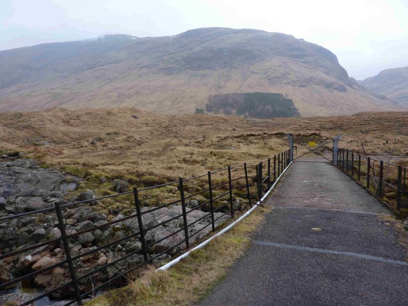
Beinn Mhic Chasgaig from Glen Etive via previously locked bridge
Start/Finish
Parking space (limited) about 6 km down Glen Etive near to the bridge over the River Etive which appears to have a locked gate with barbed wire at its far end. This gate is now usually unlocked since access rights were introduced in recent years.
Distance/Time
9 km Approx 6 hours
Peaks
Beinn Mhic Chasgaig, 864 m, NN 221 501. OS Sheets 41 and 50
Introduction
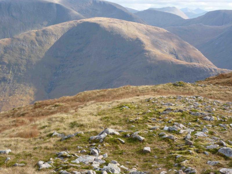
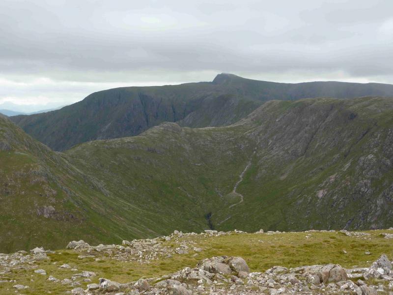
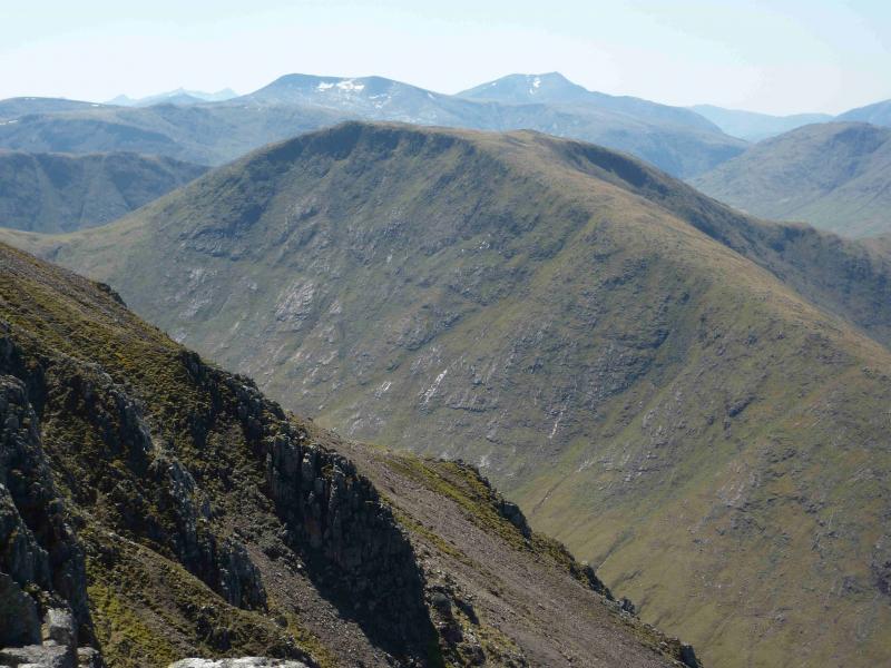
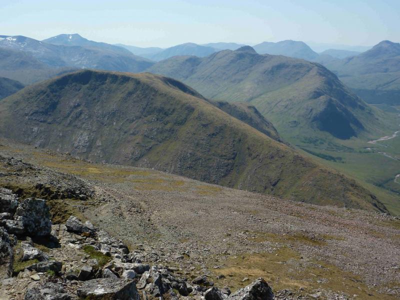
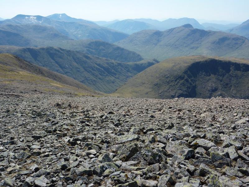
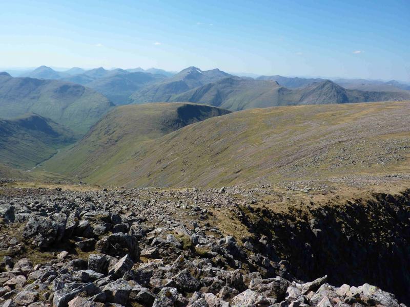
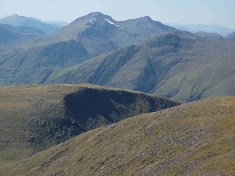
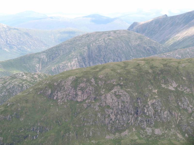
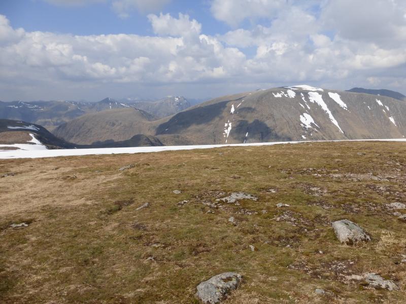
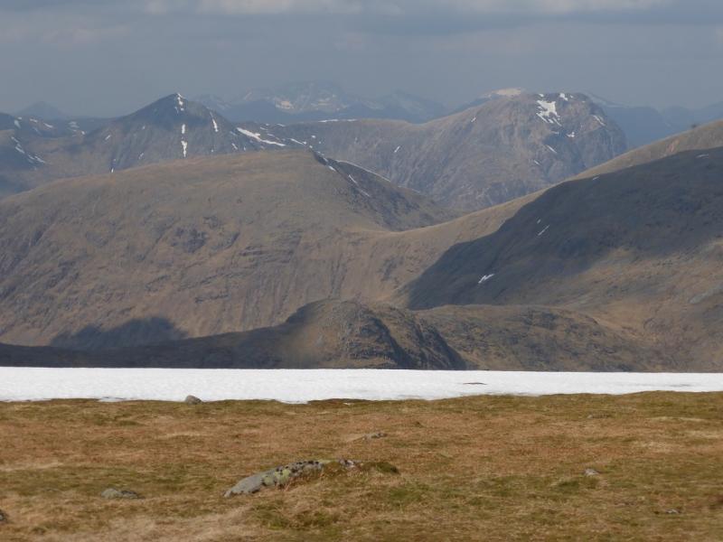
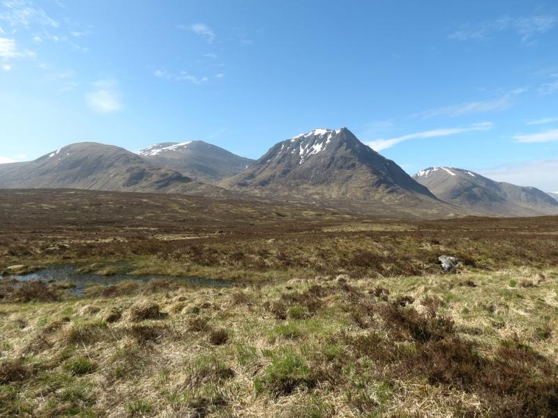
This Corbett is the first mountain on the left after Creise in upper Glen Etive. The views are outstanding in all directions and include the Creise range, Stob Ghabhar, lower Glen Etive and Buachaille Etive Mor just across the glen. On the down side, the approach can be very hard going up a steep grassy slope. Worse still, this mountain lies on the edges of sheets 41 and 50.
Route
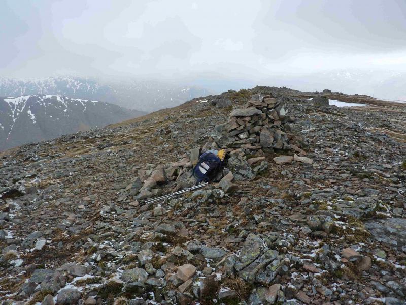
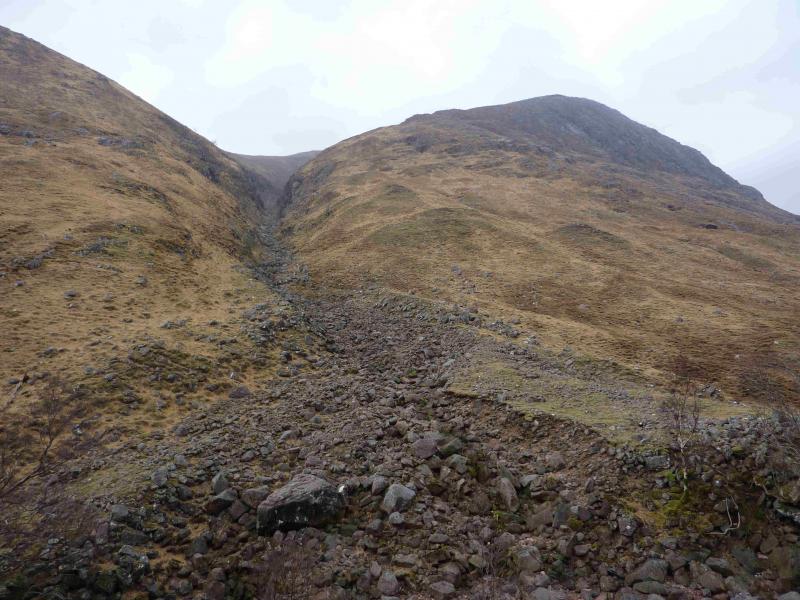
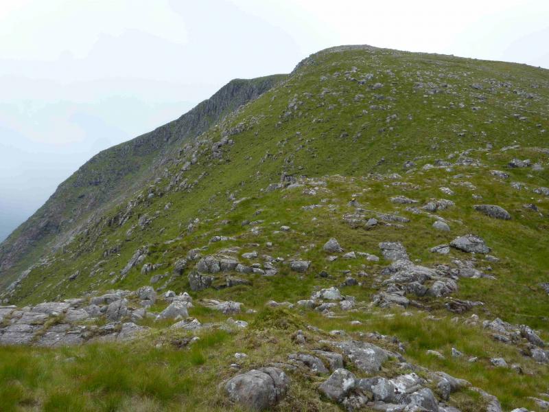
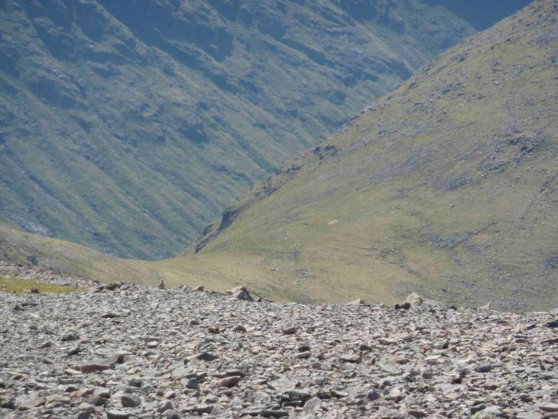
(1) Cross the bridge and pass through the gate to reach a notice diverting walkers across a way marked rough grassland to avoid the houses along the track. The diversion is way marked to beyond the houses where a very good stalkers path is joined on the E bank of the Allt a' Chaorainn. Follow this path, roughly S for about 1 km to a stream junction. Take the left burn, now called the Allt Coire Ghiubhasan and follow a less distinct grassy path along its N bank. After about 100 m, the path distinctively drops down to the burn via about 6 short and easy, but exposed rock steps. Fortunately, there is a wire handrail on the right and, lower down, one on the left as well. At the bottom is a single plank bridge, with wire handrails, across the gorge. The SMC Corbetts book describes this as having the “atmosphere of a Himalayan defile” which is a good description in an excellent book well worth buying. After crossing the bridge, ascend steep grass for about 30 m to join a grassy stalkers path on the S bank. Follow this for about 1 km to reach the bottom of a gorge on the left going NE up Beinn Mhic Chasgaig. Cross back over the burn, usually straightforward and ascend steep grassy slopes on the E side of the gorge. After a relentlessly steep climb, which trends right higher up and passes a few outcrops, the angle finally eases as the route veers E and the summit plateau is reached. Occasionally, one may come across an intermittent faint path. The cairn is at the N end of this plateau. In good visibility, a perched boulder is passed before reaching the medium cairn of Beinn Mhic Chasgaig, 864 m.
(2) Descend ESE down grassy/stony slopes to reach the bealach below Clach Leathad then descend more steeply SW to reach the upper Allt Coire Ghiubhasan and the stalkers' path which leads back past the gorge to the start.
Notes
(a) This walk took place on 7th March, 2011, and the alternatives, below, on 15th July, 2011 and 30th July, 2002, respectively.
(b) An alternative descent, only possible in a very dry spell, goes down the mainly grassy NNE ridge above the Allt Fionn Ghlinne which flows down the grassy corrie between Beinn Mhic Chasgaig and Creise to the N. The burn flows over slippery slabs higher up and crossing here would be very slippery and hazardous. It is much easier to cross lower down, almost at the River Etive. Cross the River Etive just upstream from the confluence to reach the road and walk down, in about 45 minutes, to the start, passing the old “box on the wire” as one walks under Beinn Mhic Chasgaig. The level of the River Etive should be checked before setting out on this route.
(c) The easiest route to the mountain for those who merely wish to visit the summit is to add Beinn Mhic Chasgaig to the round of Meall a' Bhuiridh, Clach Leathad and Creise from the White Corries ski area near the Kingshouse Hotel. From Clach Leathad, head N along the ridge towards Creise for about 500 m then descend the mainly grassy W ridge to the bealach at NN 224 198 which is the head of the Fionn Ghleann. From the bealach, ascend W, gradually veering N to reach the summit plateau of Beinn Mhic Chasgaig. This diversion will have to be reversed with over 300 m of reascent to Clach Leathad. Allow 2 – 3 hours extra for this diversion.
Photos - Hover over photo for caption. Click on to enlarge. Click on again to reduce.