Get Lost Mountaineering
You are here: Scotland » 08 Cairngorms and Buchan » East of Lairig Ghru to Lairig Laoigh Hills
Beinn Bhreac & Beinn a' Chaorainn from Linn of Dee
Beinn Bhreac & Beinn a' Chaorainn from Linn of Dee
Start/Finish
National Trust Scotland car park over the bridge at Linn of Dee which is 6 miles west of Braemar village. Parking is free to NT and NTS members who display a parking sticker.
Distance/Time
11 km bike + 19 km walk. About 8 – 9 hours.
Peaks
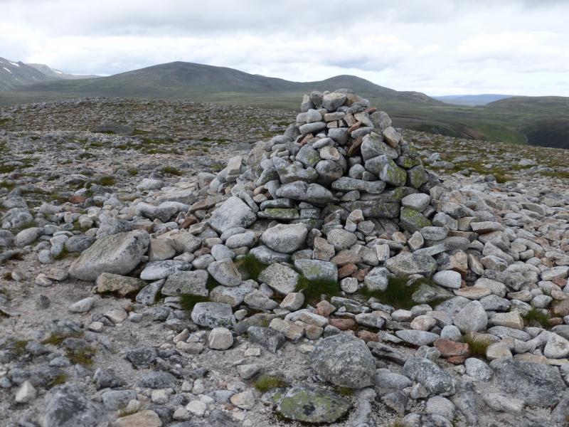
Beinn Bhreac, 931 m, NO 058 971.
Beinn Bhreac West Top, 927 m, NO 052 972.
Beinn a' Chaorainn Bheag, 1017 m, NJ 058 017.
Beinn a' Chaorainn, 1083 m, NJ 045 013. OS sheets 36 & 43.
Introduction
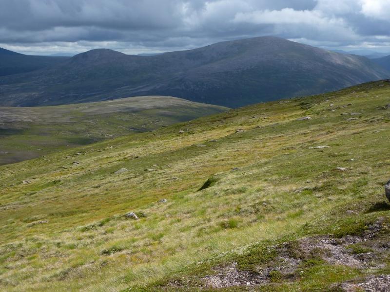
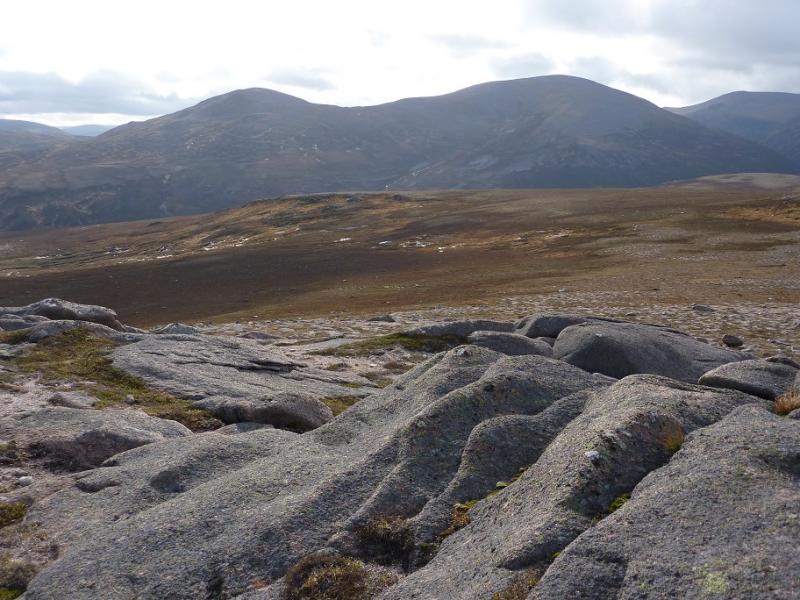
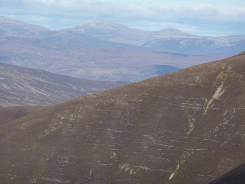
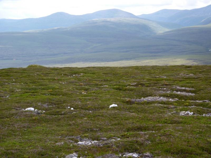
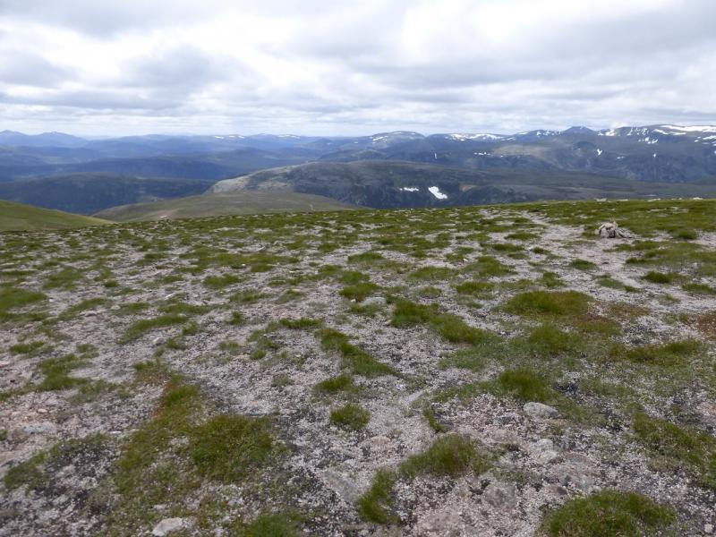
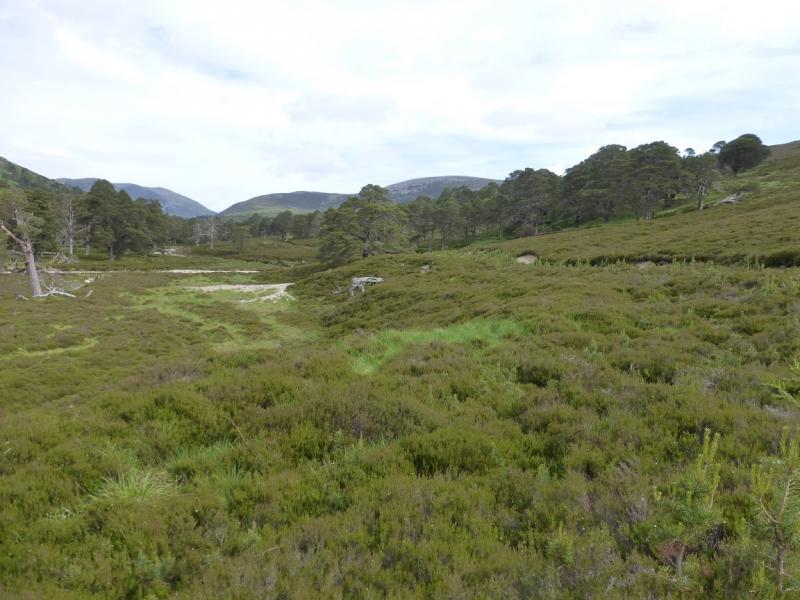
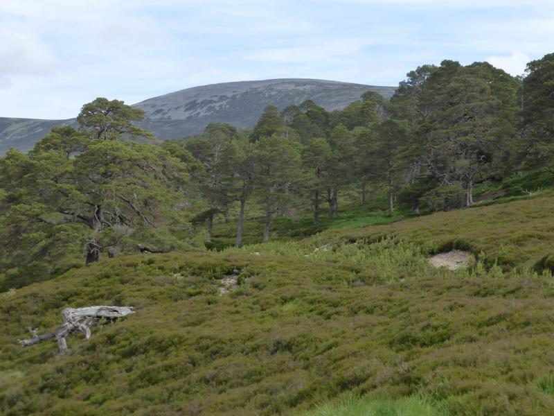
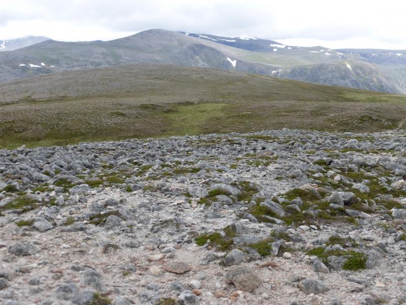
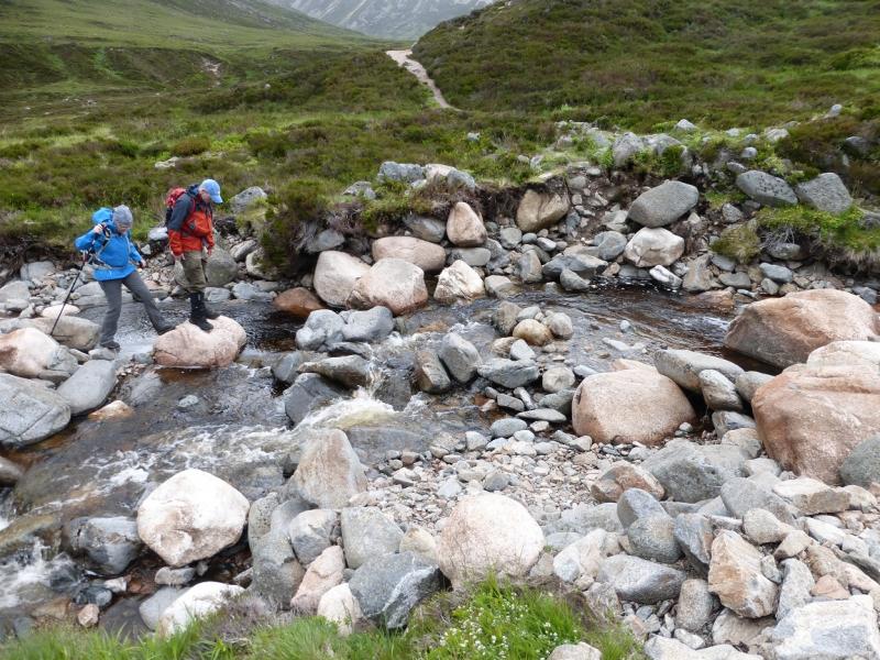
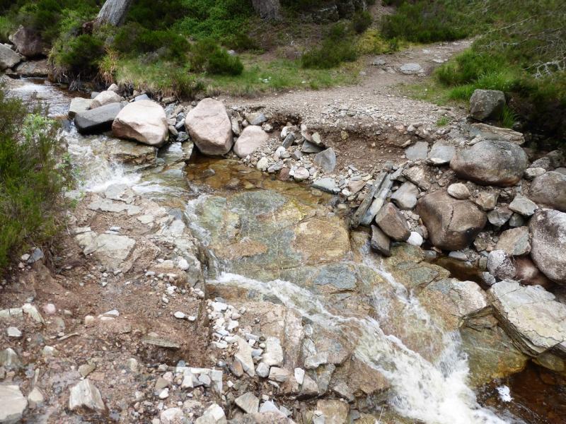
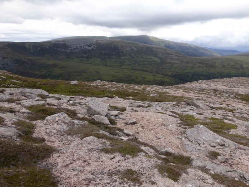
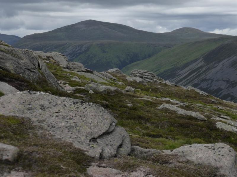
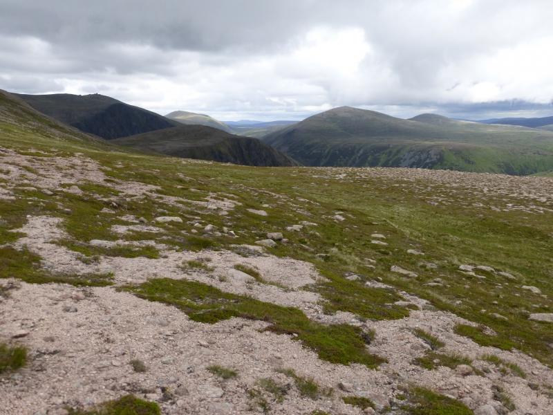
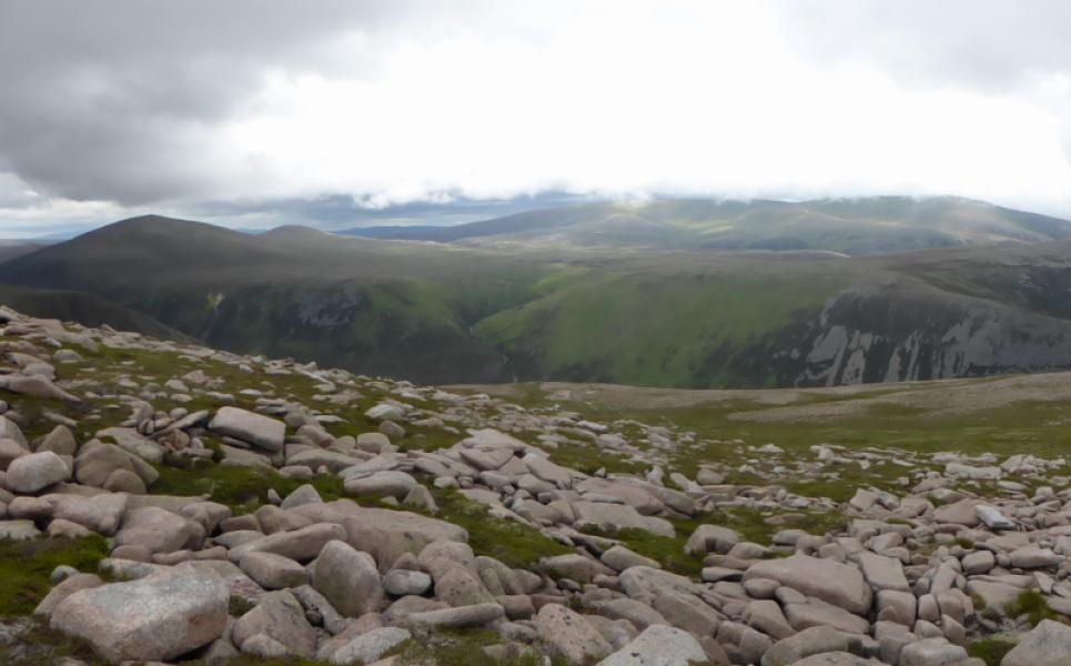
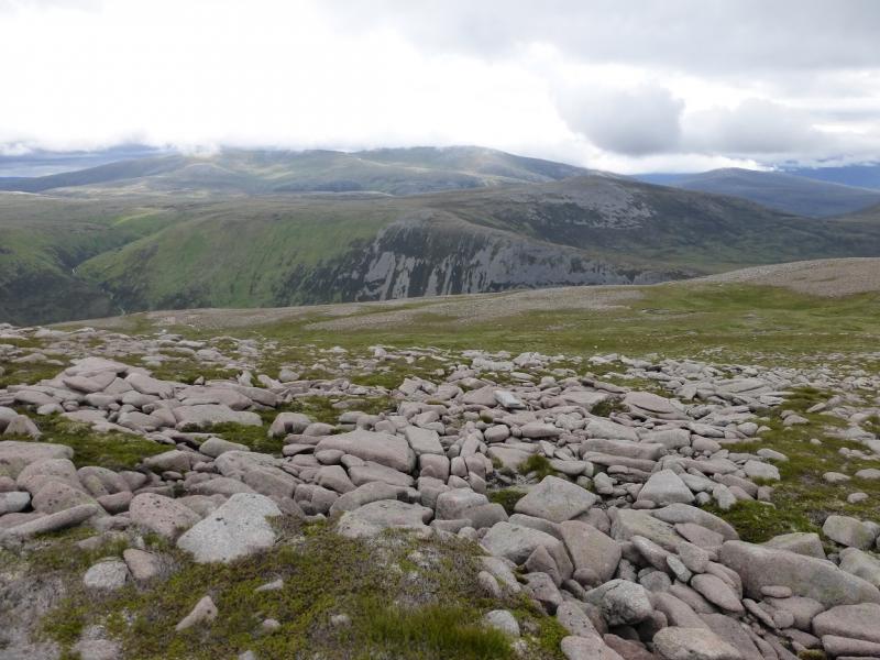
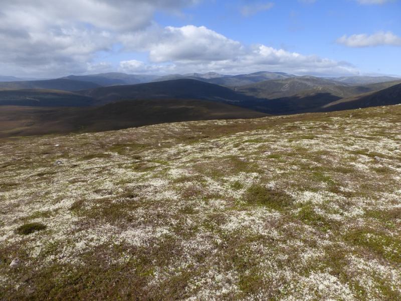
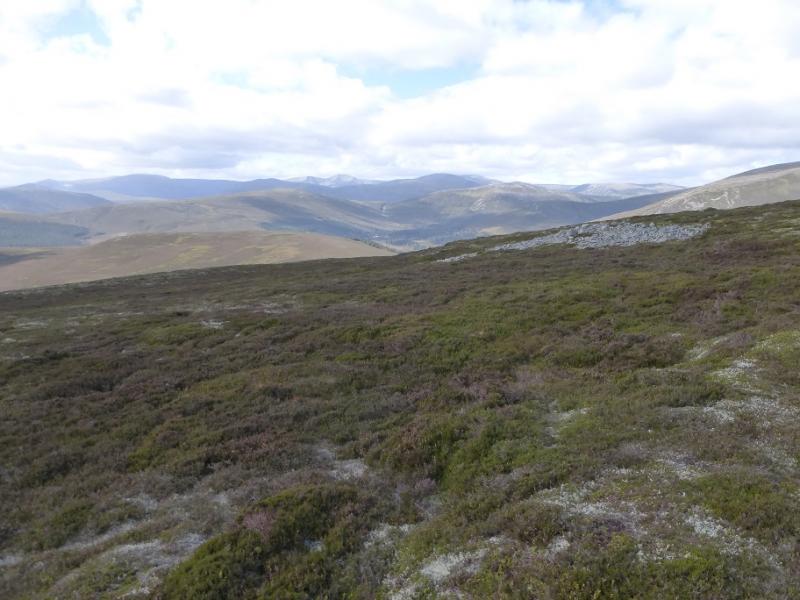
These mountains are like high featureless moorland hills. They have a long “plateau” between them which can be quite boggy and difficult to find a path on. Navigation can be testing in mist. There is a path up on to Beinn Bhreac and a path down from Beinn a' Chaorainn. Using a bicycle for the realtively easy cycle to Derry Lodge saves at least an hour and one can cycle a little further than the lodge. These hills give good views to Beinn a' Bhuird but especially to Derry Cairngorm, Ben Macdui and Beinn Mheadhoin. In wet weather, the crossing of the Glas Allt Mor may be awkward or even dangerous.
Route
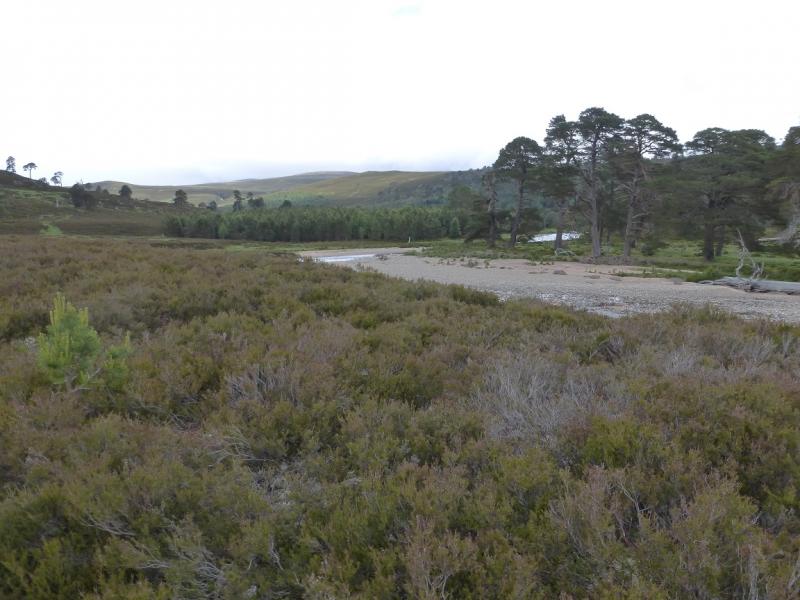
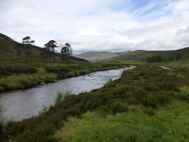
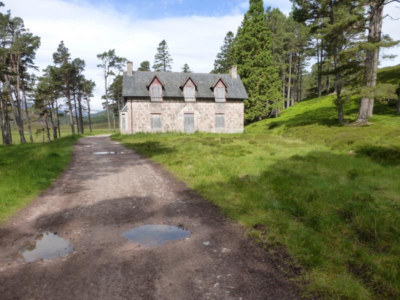
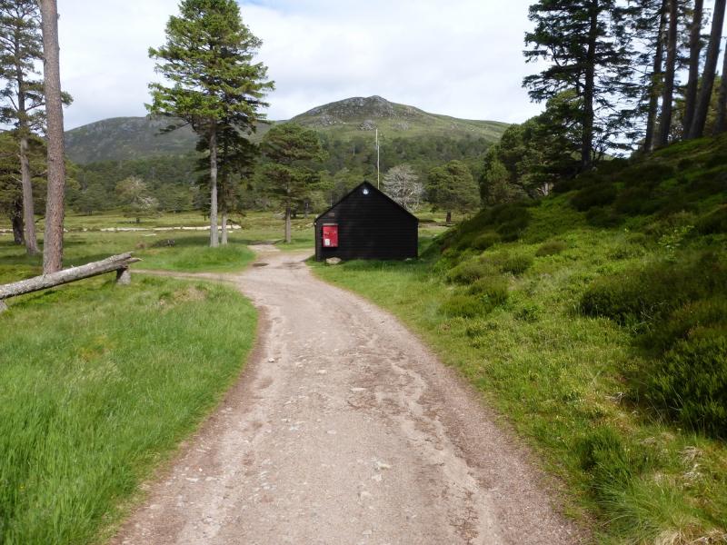
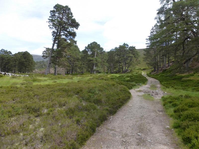
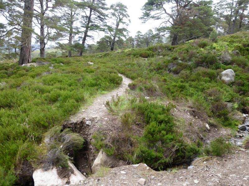
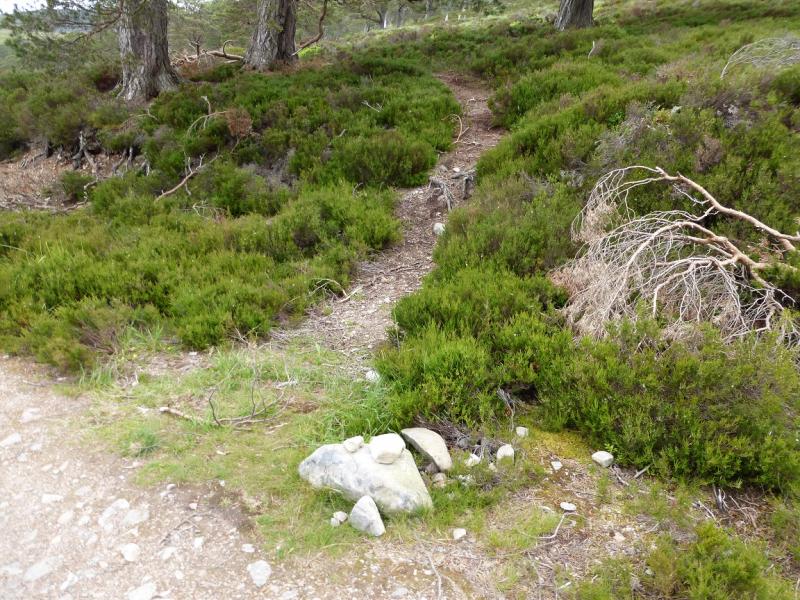
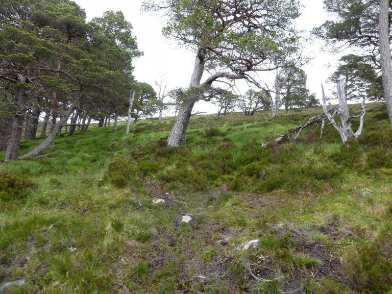
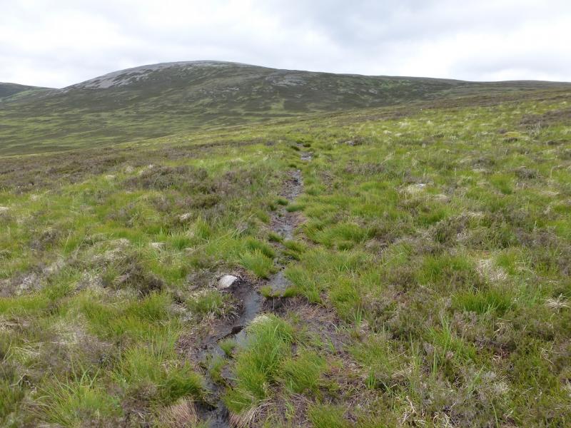
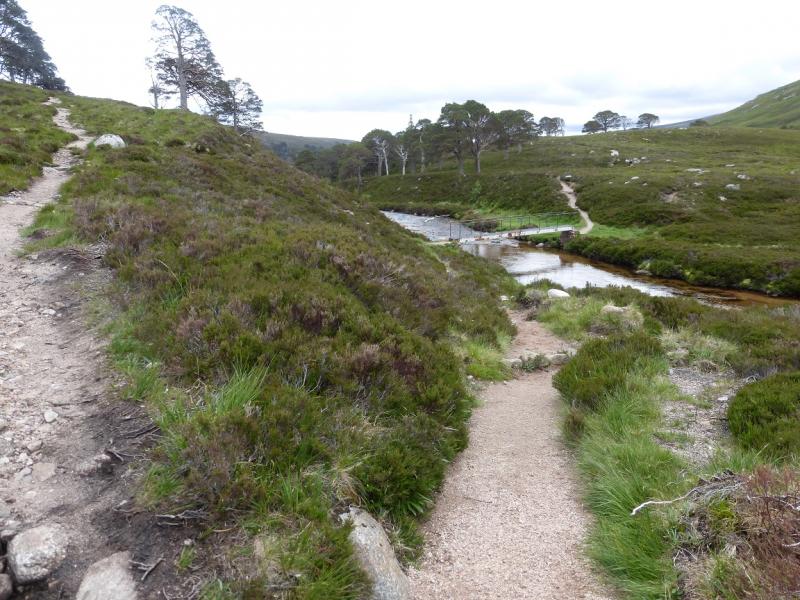
(1) From the car park, follow the path/track signed for Glen Lui. This soon reaches the estate track for Derry Lodge. This crosses a river then goes left before reaching the old stone lodge which is now boarded up. Just past here is a mountain rescue hut. Bicycles can be left here. Follow the obvious track up the E side of Glen Derry – do not cross the bridge near the hut. After about 1.5 km, there is a very small cairn on the right of the path which marks the start of a narrow peaty path going uphill. Follow this peaty path. It is easy to follow but can be wet and boggy in places. The path climbs then makes a gentler rising traverse, roughly NE, and passes the col between Beinn Bhreac and Meall an Lundain slightly to its W then heads up the S flank of Beinn Bhreac heading for the col between Beinn Bhreac and its W Top. There is a small cairn when the path gradient eases. Reach the very shallow col then go right, E, and soon reach the medium cairn which marks the summit of Beinn Bhreac, 931 m.
(2) Retrace to the shallow col then go W and soon reach another medium cairn which marks the summit of Beinn Bhreac West Top, 927 m.
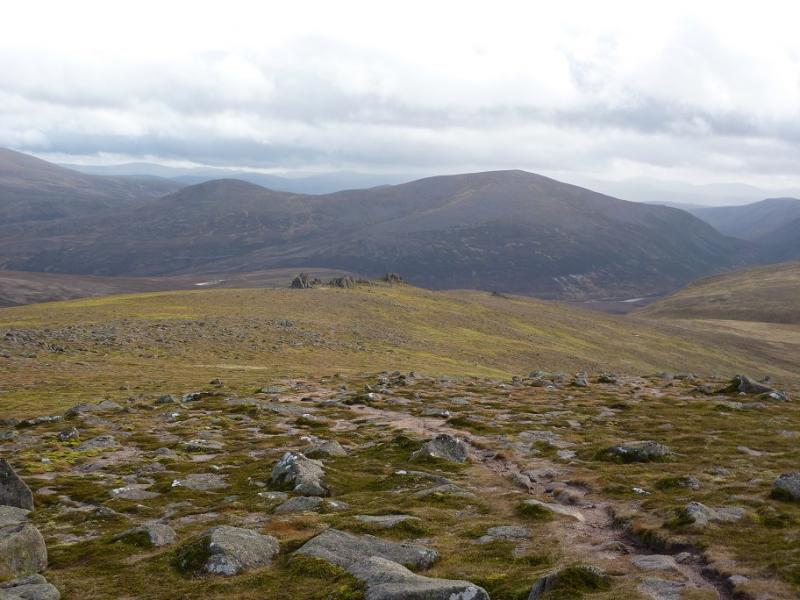
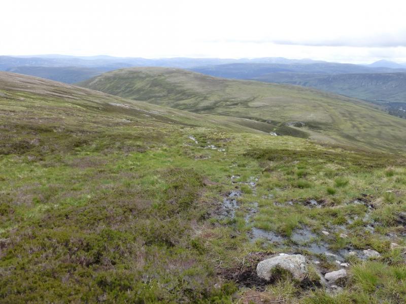
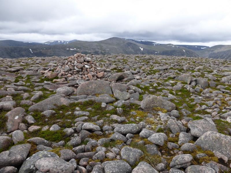
(3) The best route from here is to try and stay on the higher ground where it is least boggy. Decent paths are hard to find but there are bits and pieces here and there. Head first, NNW, for Craig Derry then go roughly NNE over the Moine Bhealaidh aiming for the foot of the S ridge of Beinn a' Chaorainn Bheag. Once on the ridge, the ground improves and there is more chance of finding a path which leads up to the large cairn which marks the summit of Beinn a' Chaorainn Bheag, 1017 m.
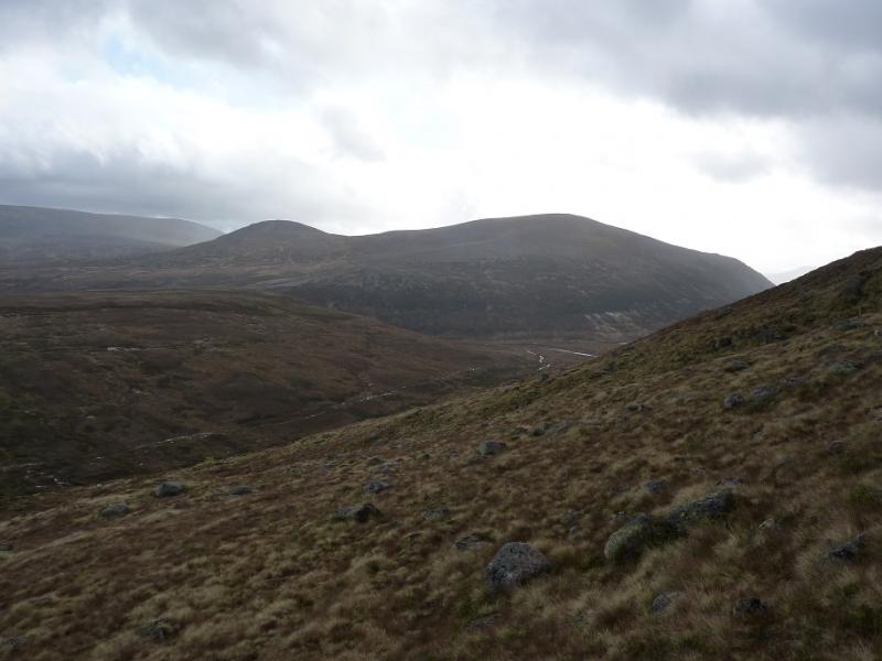
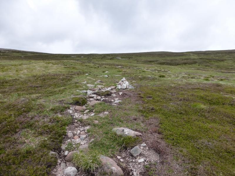
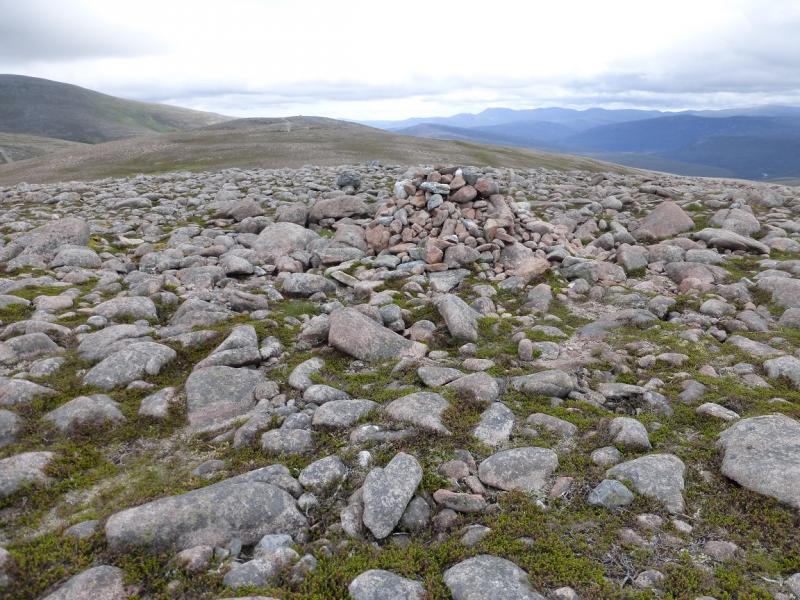
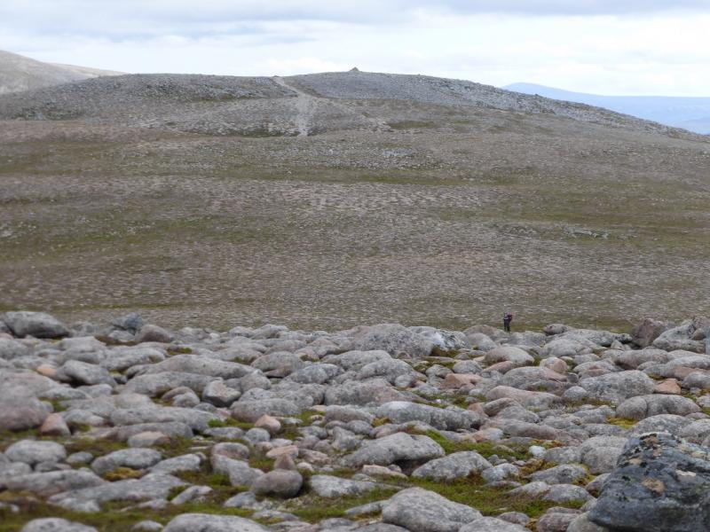
(4) Descend slightly N of W, avoiding as much of the boulder field as possible. Aim for the right hand side of the most northerly lochan then ascend the NE ridge where a path soon develops and leads up to the large cairn which is the summit of Beinn a' Chaorainn, 1083 m.
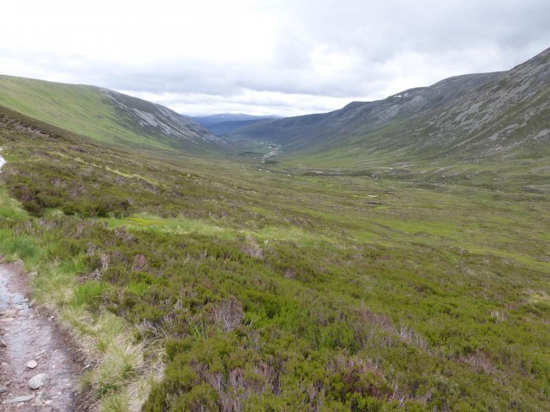
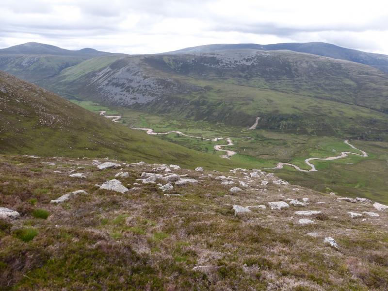
(5) Descend SW, intially on a gravel path and cross a boulder field where the path can be picked up again. If it is clear, Derry Cairngorm can be used as an indicator. Continue down , still SW but becoming S. The ground below is steeper but there is a good but loose path which zig-zags down to the main path in the glen below at about its highest point. This path is the Lairig an Laoigh which, like the Lairig Ghru, goes from Aviemore to Braemar. It is about 8 km, S, on a good path to Derry Lodge. The Glas Allt Mor has to be crossed which can be awkward in wet weather. Further on, a collapsed stream crossing gives another awkward crossing in wet weather. From Derry Lodge, retrace the outer route.
Notes
(a) This walk took place on 11th July, 2015, and about 10 and 20 years earlier.
Photos - Hover over photo for caption. Click on to enlarge. Click on again to reduce.