Get Lost Mountaineering
You are here: Scotland » 01 South of Oban to Stirling and Fife » Ben Lui Range to Crianlarich
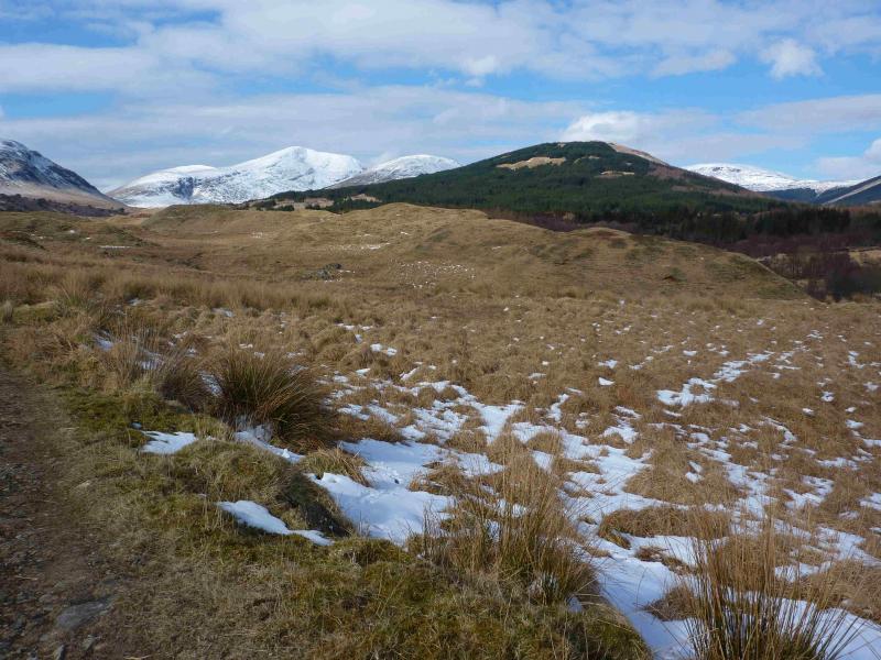
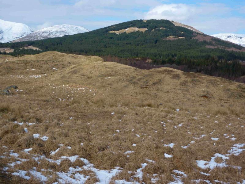
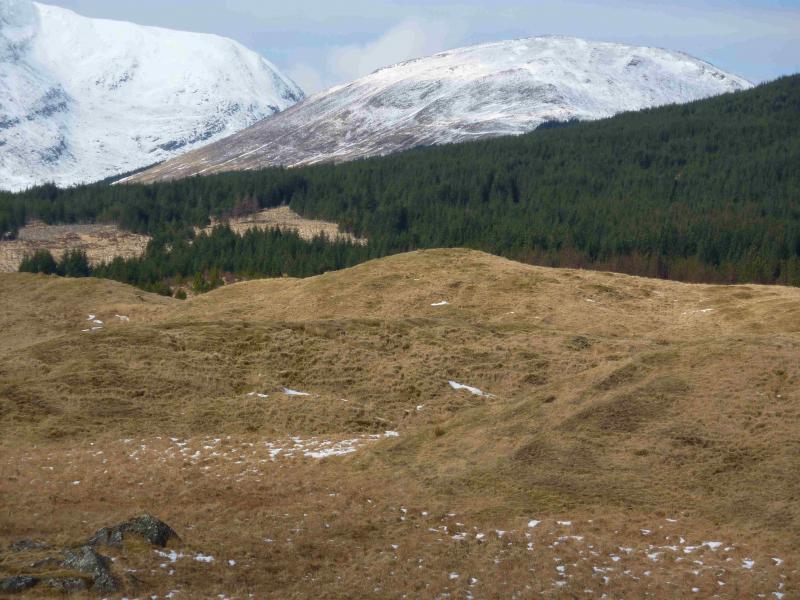
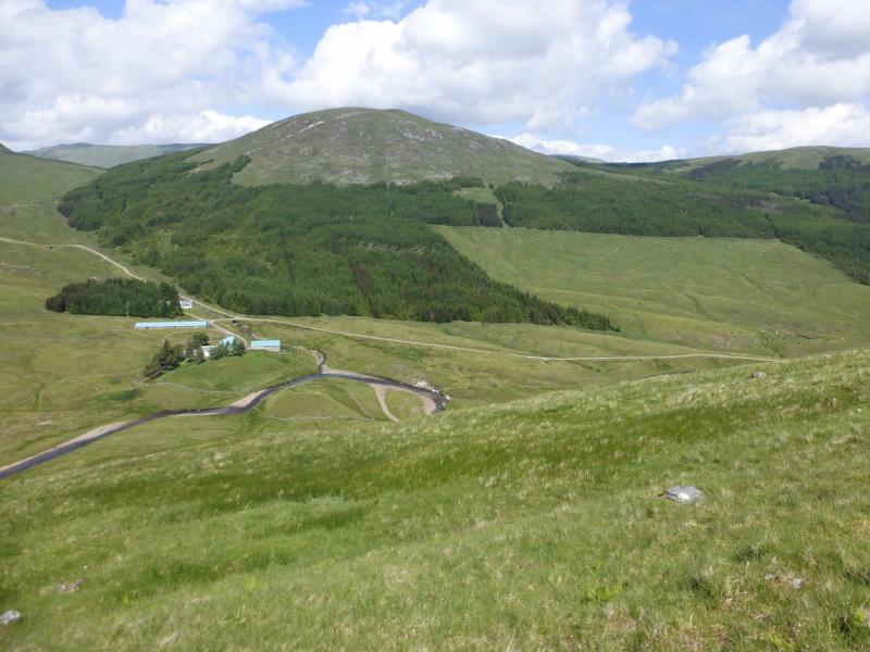
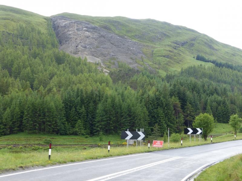
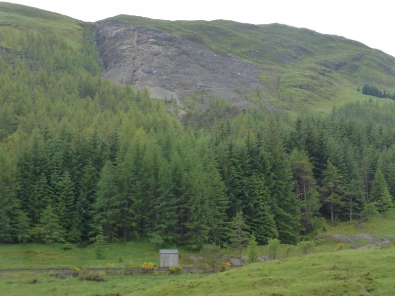
Meall Odhar from Tyndrum
Meall Odhar from Tyndrum
Start/Finish
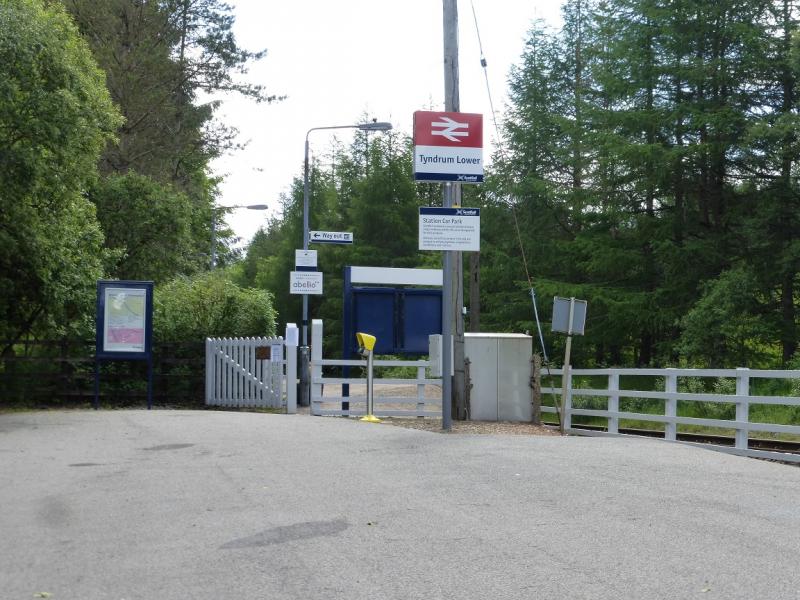
Tyndrum Lower railway station where there is a small car park. If this is not available then park as close as possible, maybe even in Tyndrum itself. Tyndrum is on the A82 between Crianlarich and Bridge of Orchy, being about 5 miles west of Crianlarich. Tyndrum has two railway stations – Upper and Lower. The lower station, for trains to Oban, is on the south side of the village, roughly behind the large hotel. Parking is free.
Distance/Time
9 km. About 4 hours.
Peaks
Sron nan Colan, 590 m, NN 311 302.
Meall Odhar, 656 m, NN 298 298. OS sheet 50.
Introduction
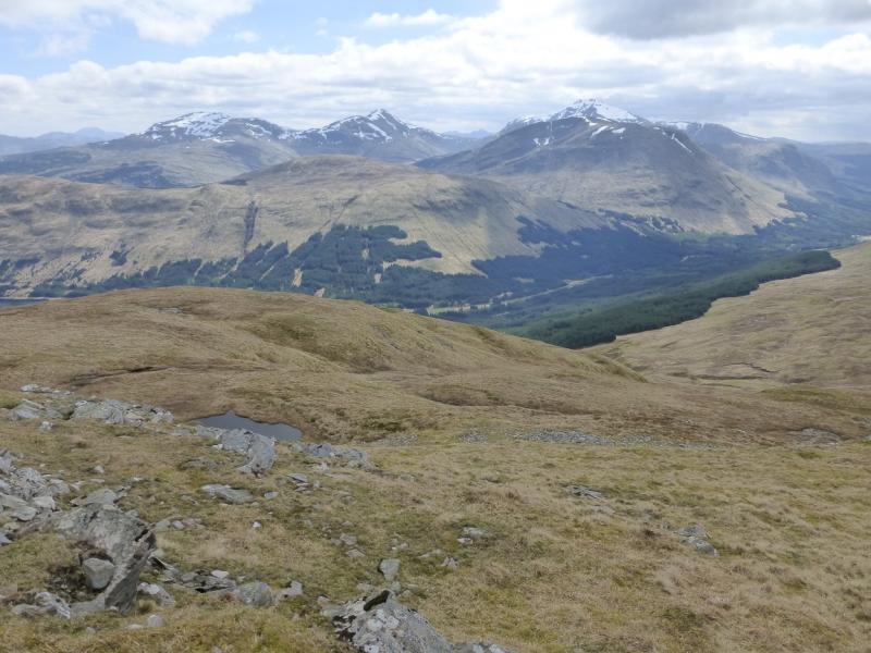
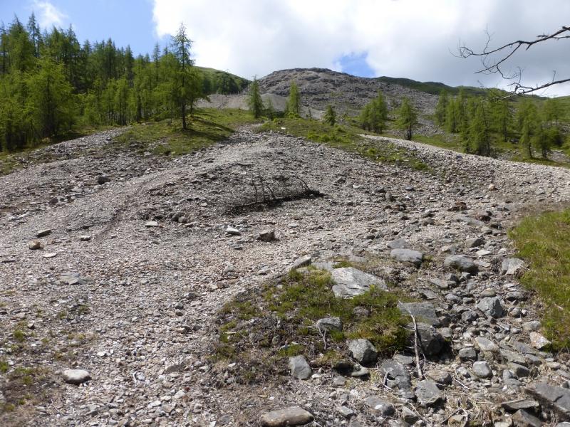
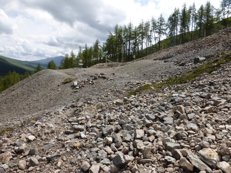
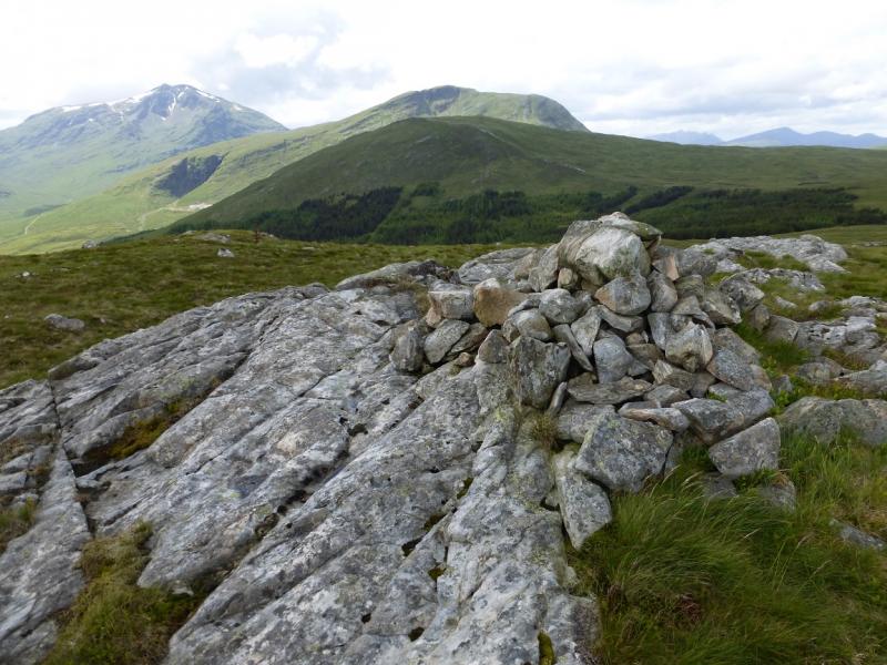
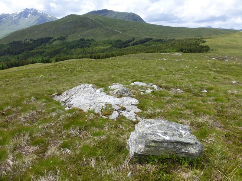
Meall Odhar is a Graham very much in the shadow of much larger mountains close by. None the less, it offers a fine half day's walking with superb views of the surrounding mountains including Ben Lui. Many approach Meall Odhar from the Cononish Glen but this is not a particularly attractive approach. This route uses a path up through the old lead mines above Tyndrum which gives good views and allows one to walk up easy quartzite bands.
Route
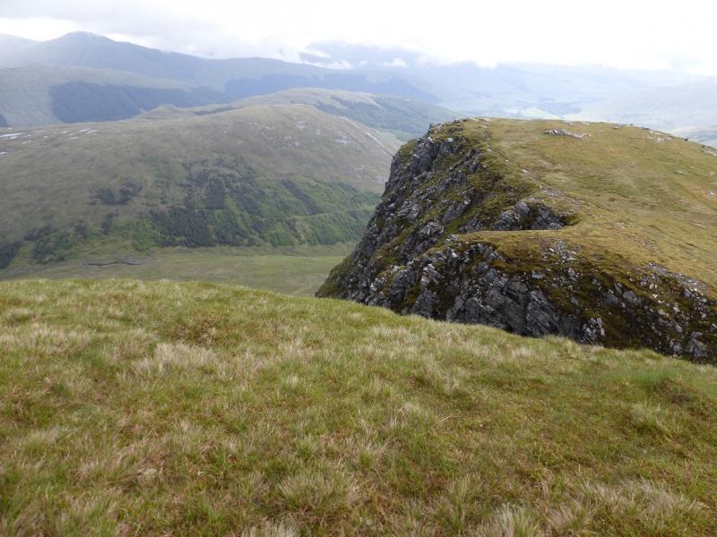
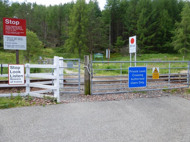
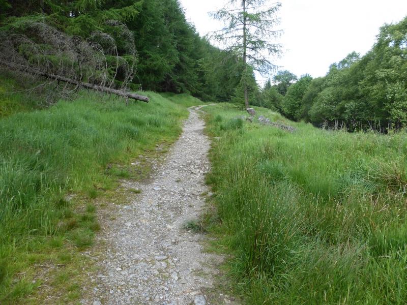
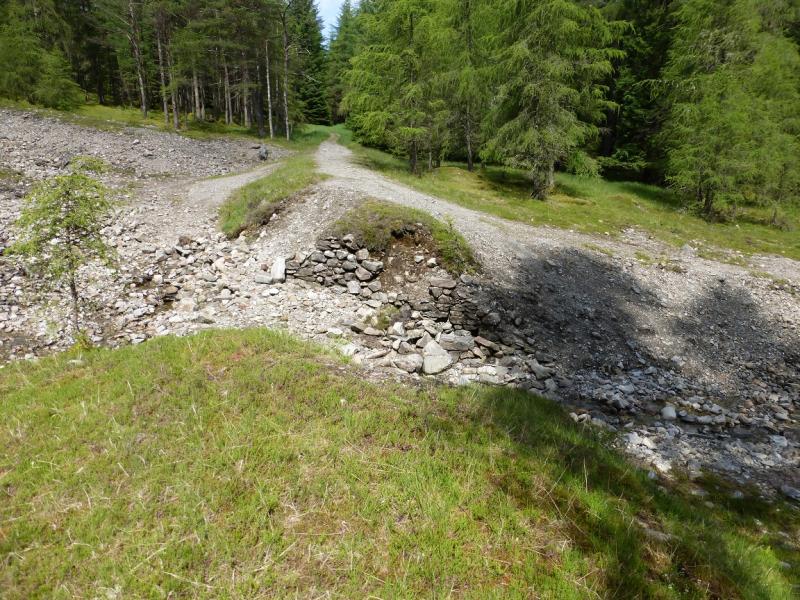
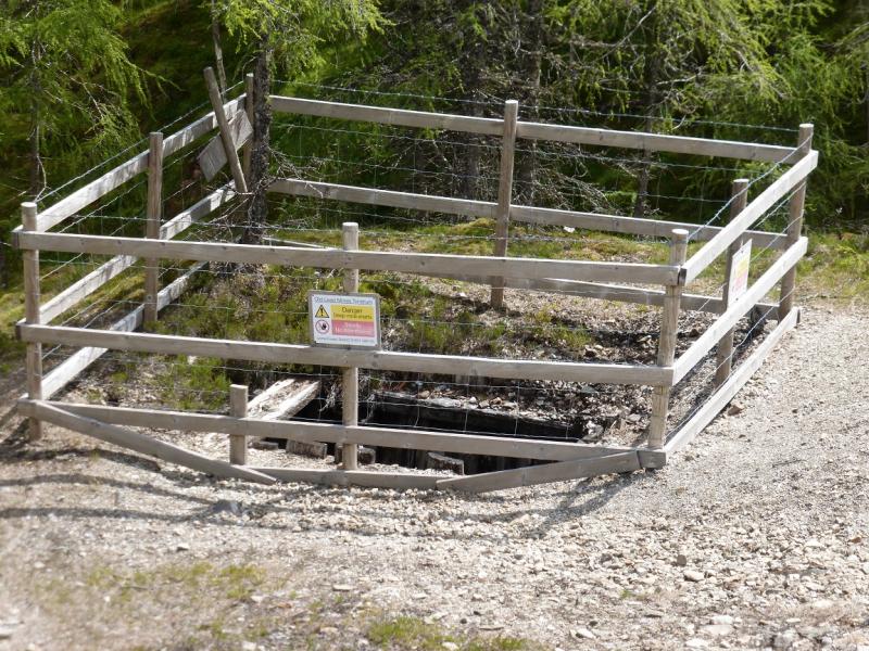
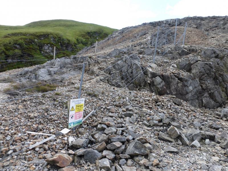
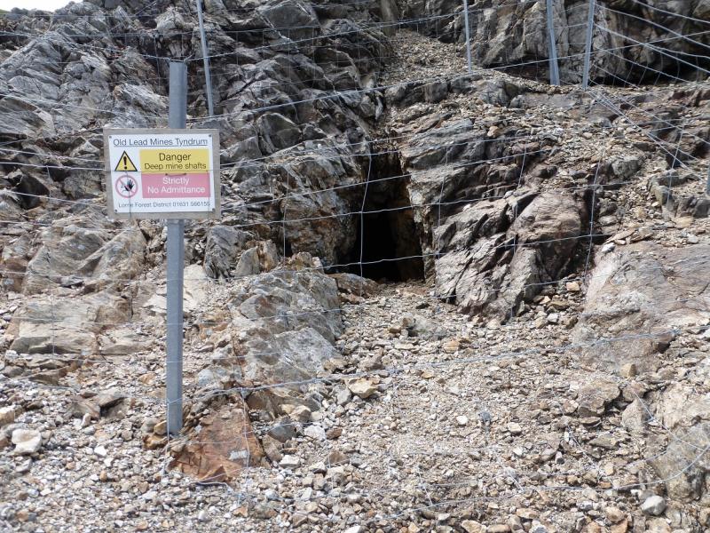
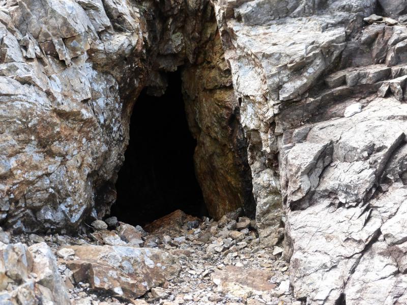
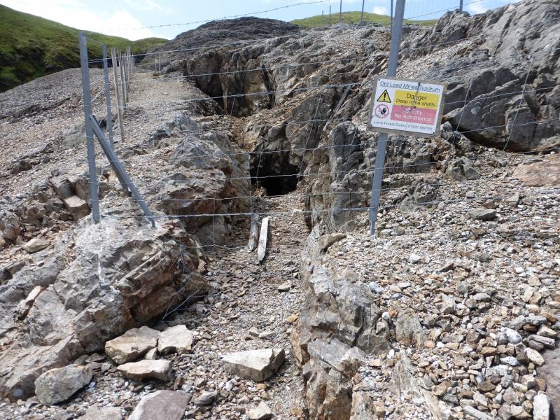
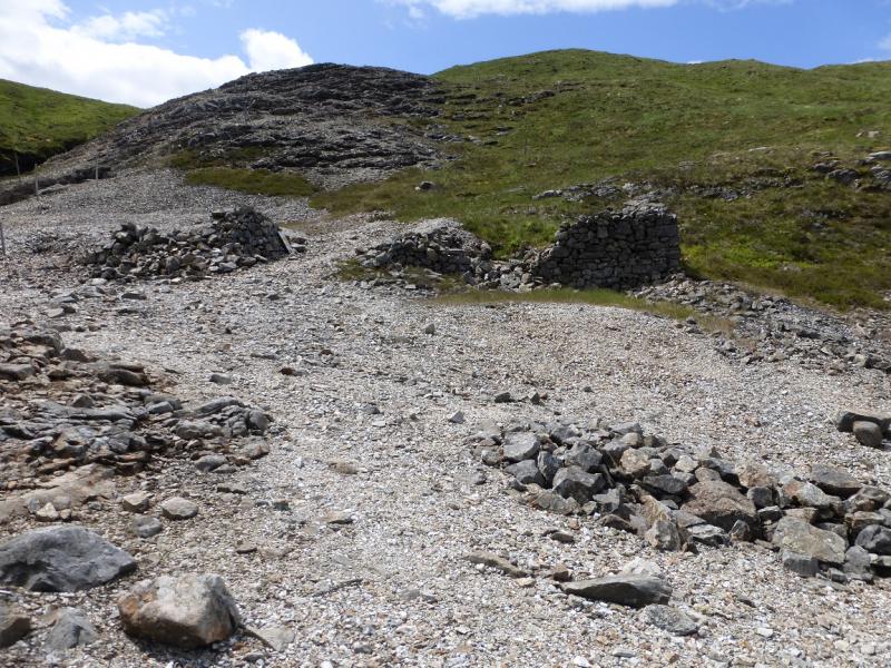
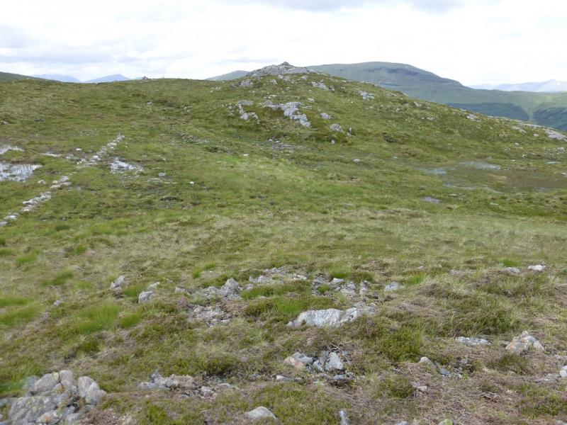
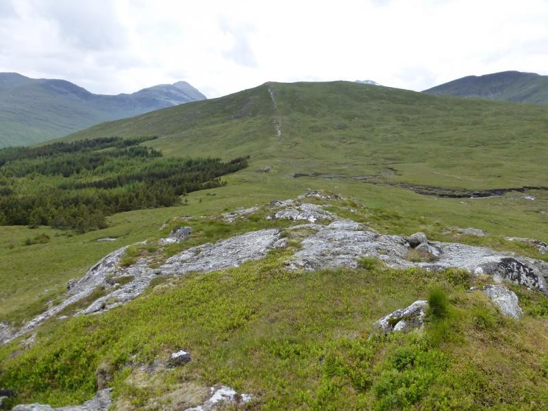
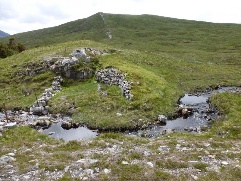
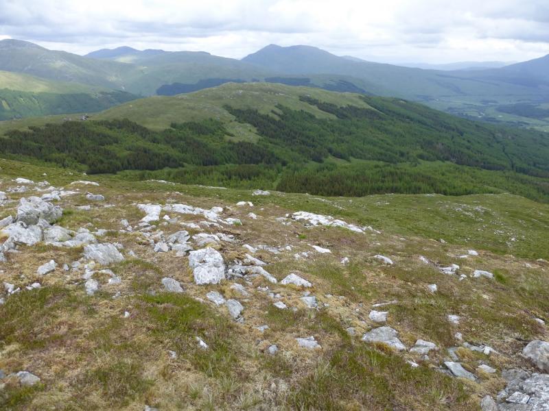
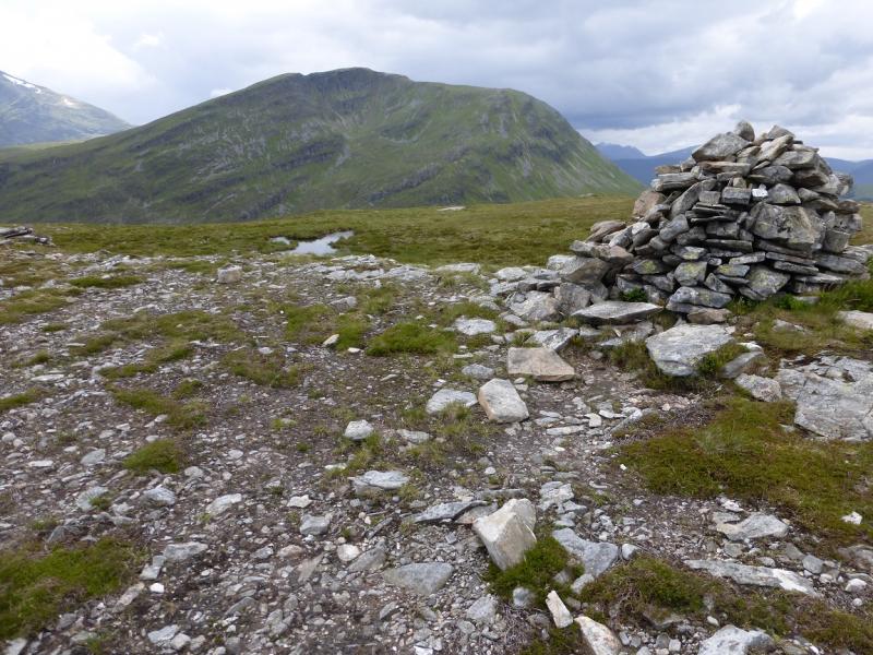
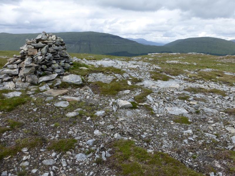
(1) Go over the level crossing from the car park then turn right on to a path shadowing the railway. Follow this to where a stream seems to have washed part of the path away and there is a railway bridge off to the right. Either go up the side of the stream until a path/track is seen over to the right or pick up this path by continuing for a short distance along the original path. Follow the path/track up. They soon diverge with the path zig-zagging up whereas the track tends to head straight up more steeply. The path is fainter higher up but the way up is fairly obvious. A fence over to the left stops one going too far left. There are several sloping ribs which area delight to walk up. Disused mine shafts have been sealed off so do not enter as they are dangerous. All too soon, this section is over and one is on grassy slopes. An old fence leads to a small grassy col with trees over to the left. Go right and follow the crest. There are a few old fence posts and the bare remains of an old wall which lead to the medium cairn which marks the summit of Sron nan Colan, 590 m.
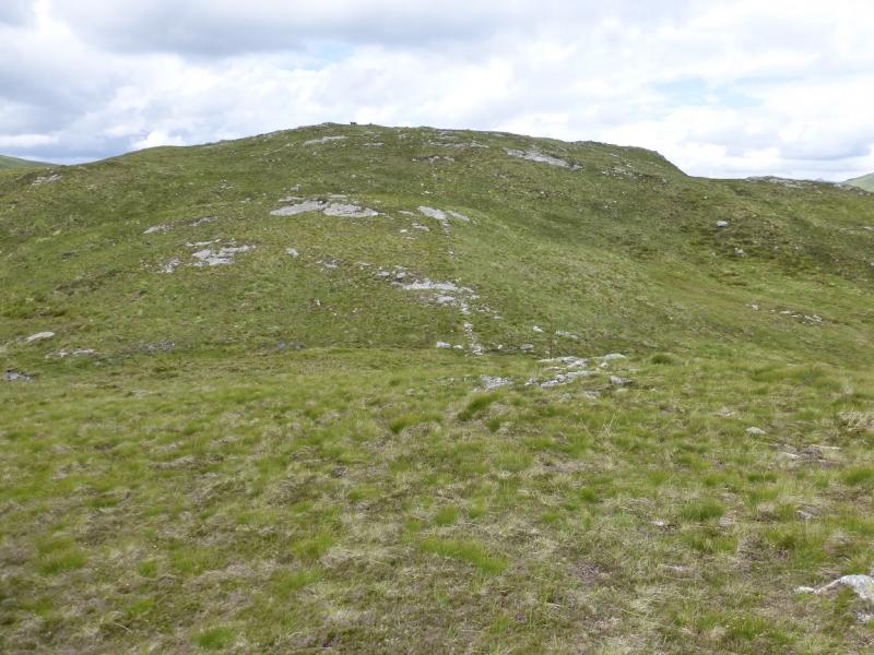
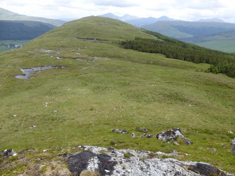
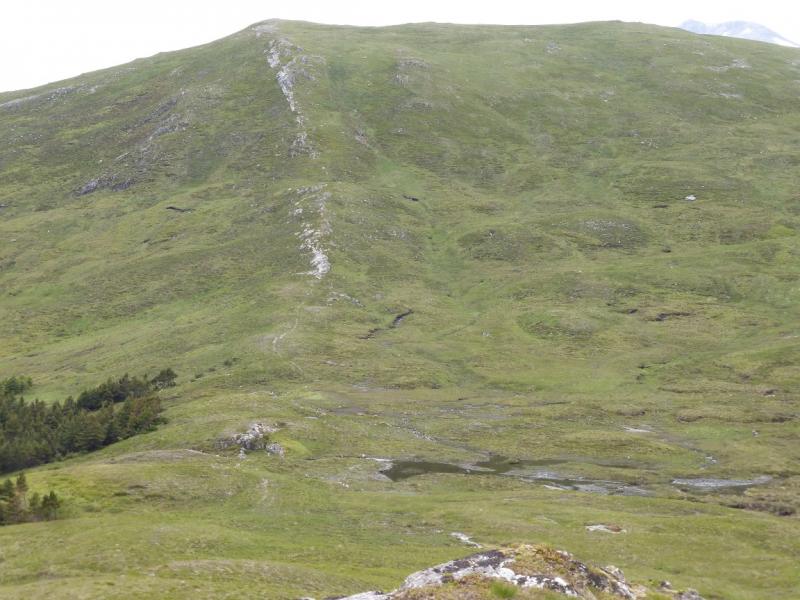
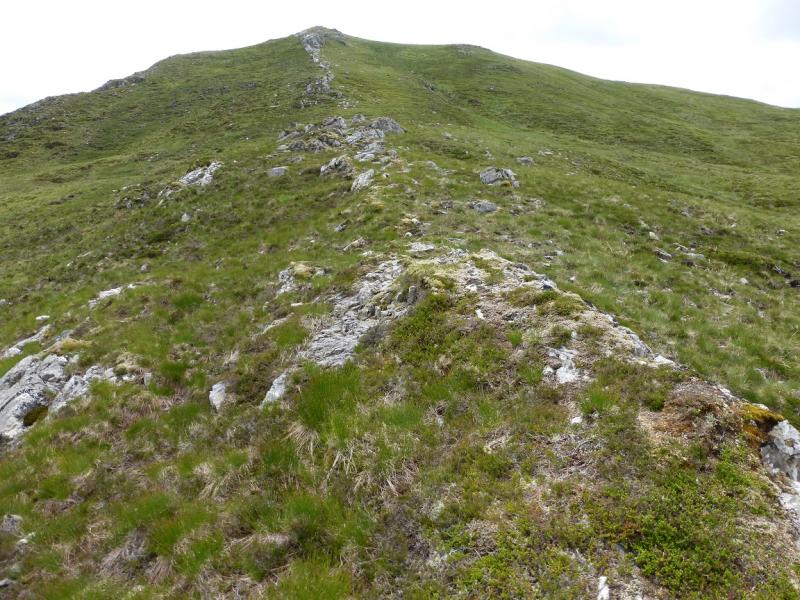
(2) The continuation descends gently WNW followed by a gentle rise to Creag Bhuidhe, a good viewpoint, where there is no cairn. The fence posts help some of the way. The broad grassy crest then goes S to a small dip then SSE following a intermittent quartzite rib up towards the summit of Meall Odhar. Between Sron nan Colan and Meall Odhar there is forestry well to the left which may also be a useful guide. The line of the quartzite rib takes one to the edge of a plateau. Turn right, following the fence posts, to soon reach a large cairn which marks the summit of Meall Odhar, 656 m.
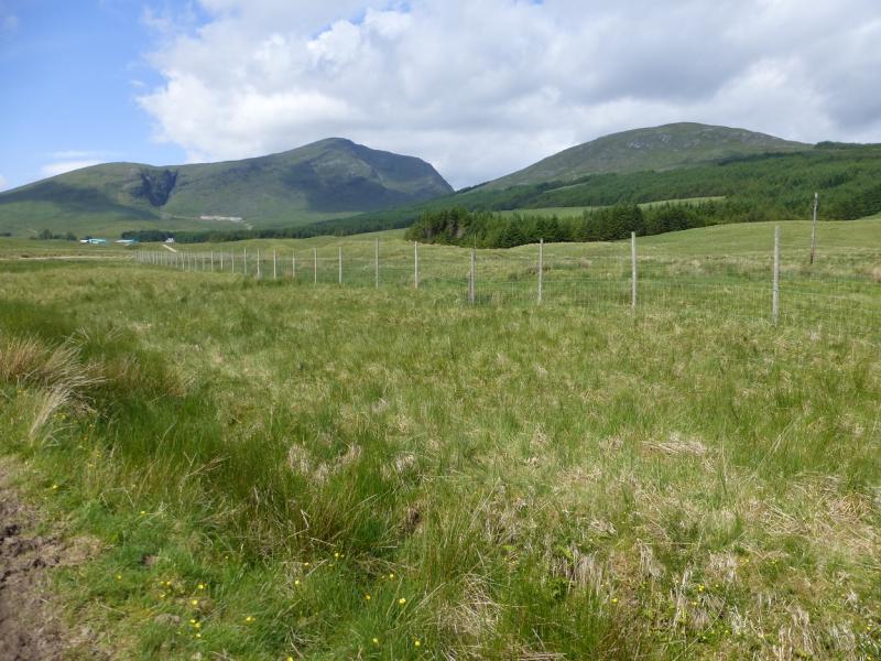
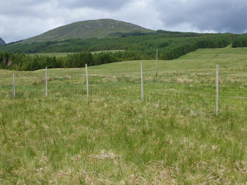
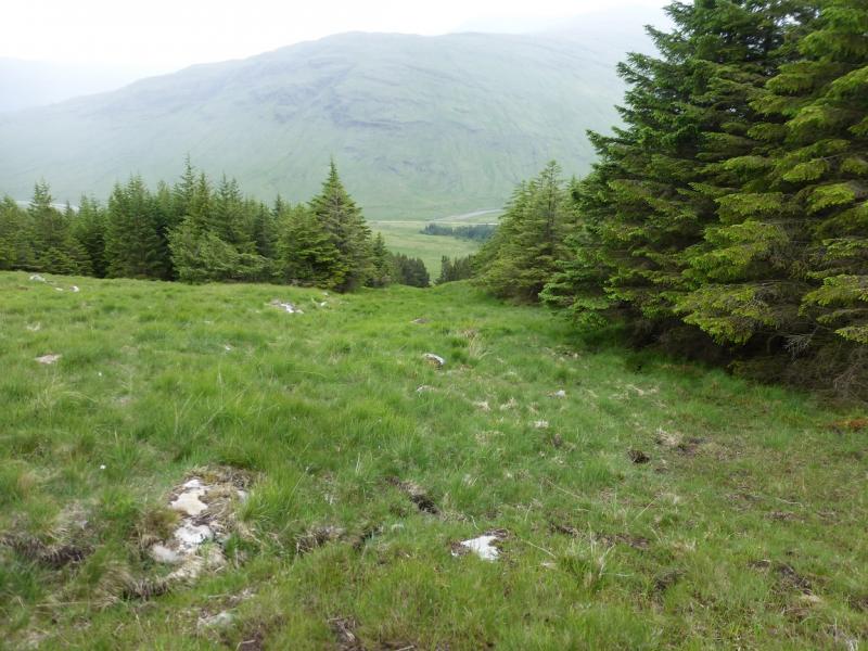
(3) By far the best descent route is to retrace the route of ascent but to make this a circular walk, descend SSE down easy grassy slopes heading for the large “notch” of clearing just to the E of Cononish. About a third of the way along the top edge, there is a fairly wide firebreak which goes all the way down to the “notch”. Walk SE, diagonally across the grassy meadow to the far corner. There is no gate over the high deer fence so continue close to the fence past the “finger” of forestry to reach the narrower meadow to the E where there is soon a gate on to the Cononish track. Walk E along the track for a few hundred metres until the track divides. Take the left fork, into the forest, and follow it, with a gentle ascent for about half the way, back to the start.
Notes
(a) This walk took place on 7th July, 2015, and about 10 years earlier from the Cononish glen.
Photos - Hover over photo for caption. Click on to enlarge. Click on again to reduce.