Get Lost Mountaineering
You are here: Scotland » 01 South of Oban to Stirling and Fife » Ben Lomond, Crianlarich, Balquidder and Trossachs
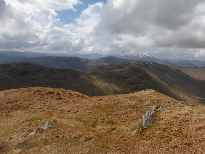
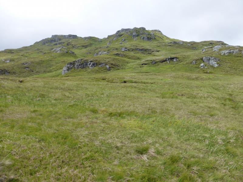
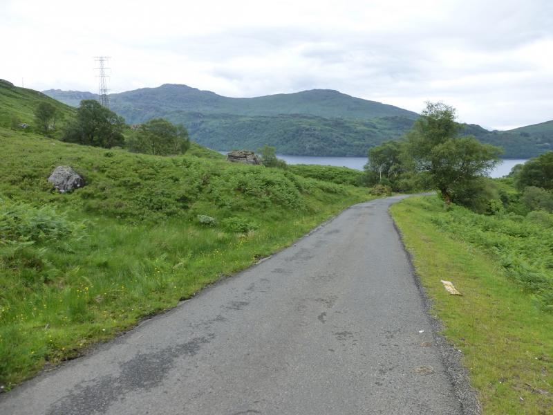
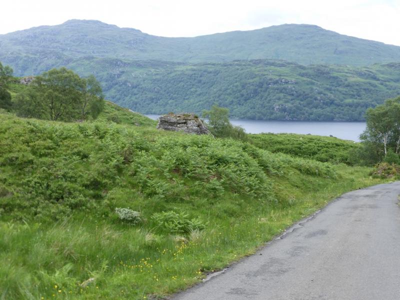
Beinn a' Choin from near Corriearklet
Beinn a' Choin from near Corriearklet
Start/Finish
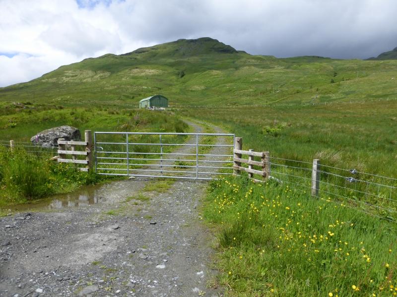
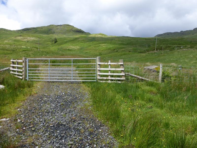
About 300 m west of Corriearklet which is about halfway along Loch Arklet. There is a wide gateway and a rough track leading to a modern “barn”. It is possible to park in the wide gateway without causing an obstruction. This is reached by taking the B 829 west, for about 13 miles, from Aberfoyle in the Trossachs. At a T junction, just before Loch Arklet is reached, turn left along Loch Arklet. The road is narrow and rough so progress will be slow. If reaching Aberfoyle from Callender, there are two approaches. Most scenic but much slower leaves the A84 at Kilmahog, about a mile north of Callender and takes the A821 past Loch Venachar. Brig o' Turk and Loch Achray before going over the Dukes Pass (impassable in winter conditions) to Aberfoyle. The much faster route leaves the centre of Callender on the A81 and passes through Port of Mentieth on its way to Aberfoyle.
Distance/Time
10 km About 4 – 5 hours
Peaks
Stob an Fhainne, 653 m, NN 359 111.
Beinn an Choin, 770 m, NN 354 130. OS Sheet 56.
Introduction
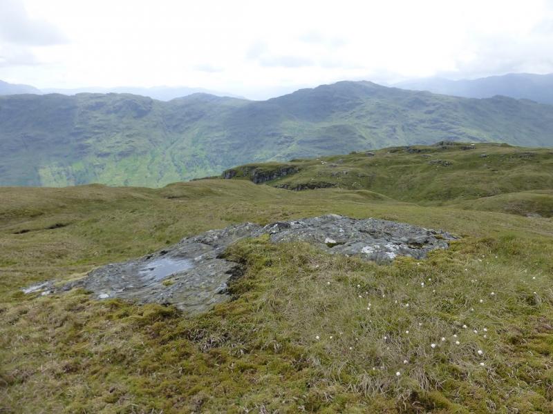
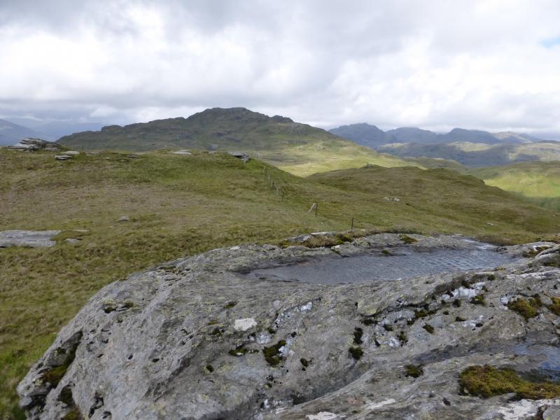
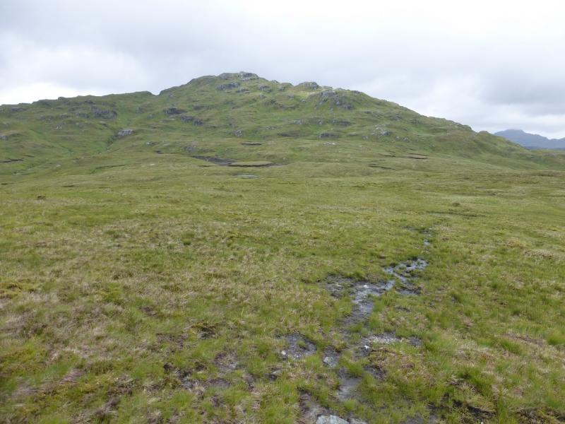
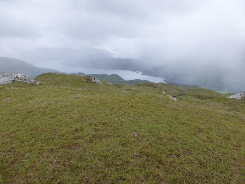
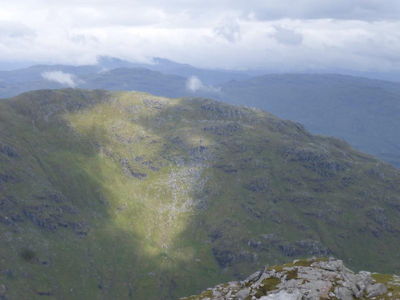
Despite the modest heights attained, this is quite a tough walk so do not underestimate it. There is not much in the way of paths except on the crest between the two tops and some of that is faint. The terrain is mainly grassy with any crags easily avoided. Ferns colonise much of the lower hill in the summer. A wet and boggy ATV track, from the start, avoids the ferns. On a clear day, the views are superb, especially across Loch Lomond to the Arrochar Alps, to Ben Lomond and to Beinn Chabhair, An Caisteal and Beinn a' Chroin.
Route
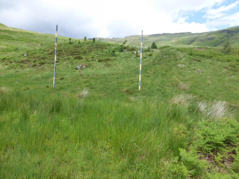
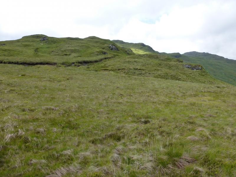
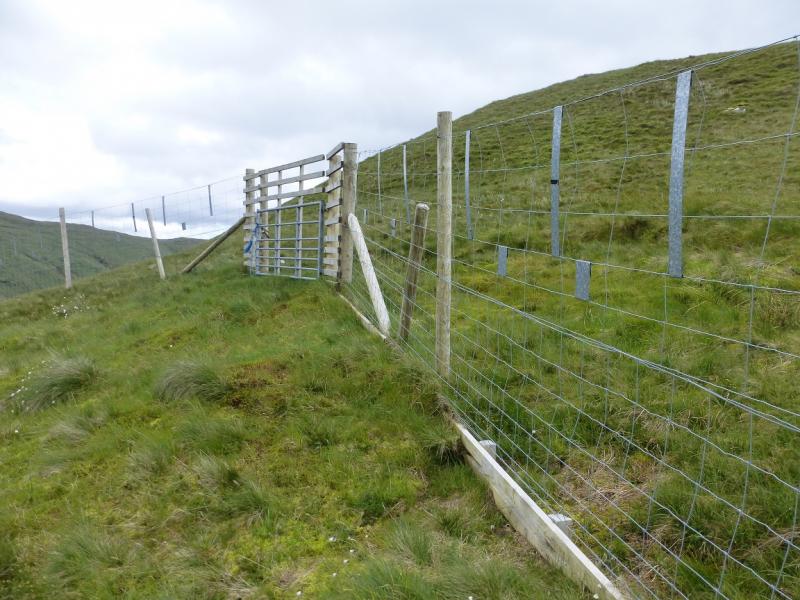
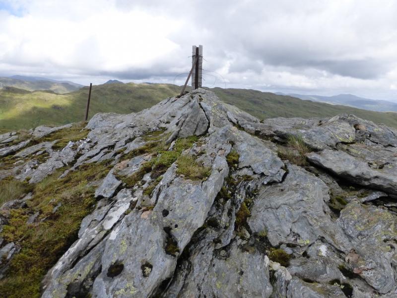
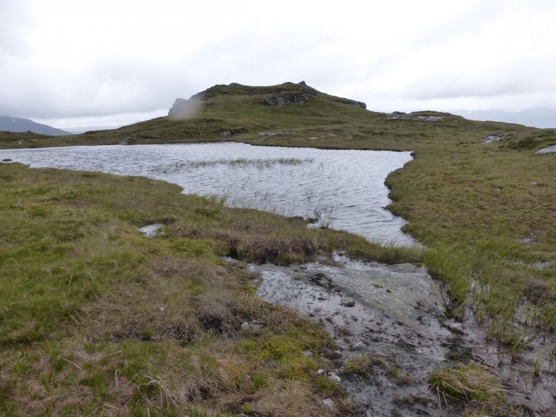
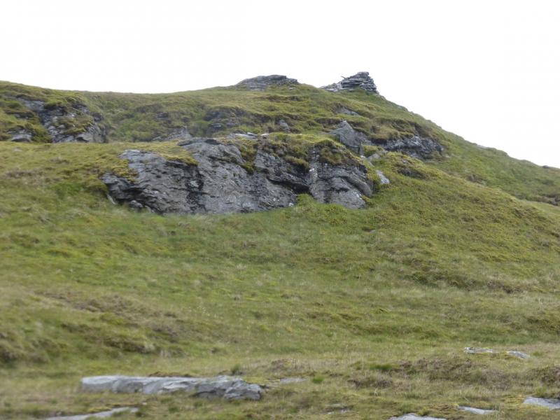
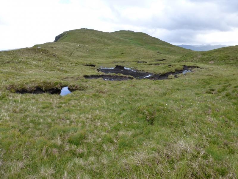
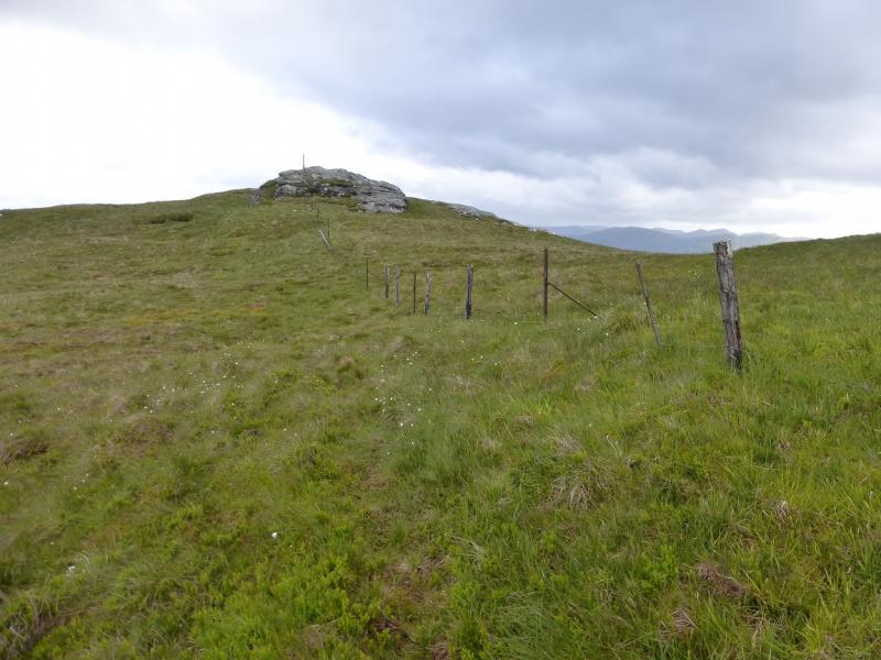
(1) Walk up the rough track past the building. Cross the path/cycleway to Inversnaid then continue on the faint ATV track which passes between two marker posts almost immediately. Follow the wet and boggy track up until it levels out then leave it and pick a way up rough grassy slopes, heading W then NW up onto the ill-defined crest of Maol Odhar. Continue, roughly NW. At some point, a deer fence will be crossed. There is a gate which is locked but no stile so one must climb over. Further up, some fence posts appear and there is a faint path from there which leads to a rocky outcrop with a wooden post in it. There is no cairn but this is the summit of Stob an Fhainne, 653 m.
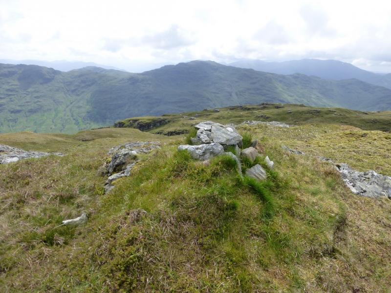
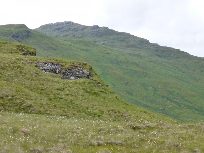
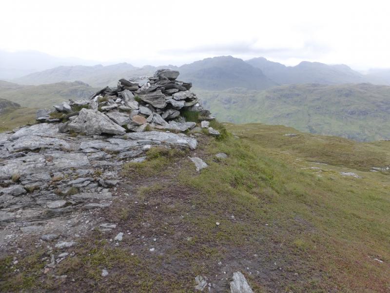
(2) Descend N, still on the path and initially following the fence posts. Soon the path leave sthe fence posts and drifts right. It becomes faint near the Bealach a' Mhaim. The direct ridge to Beinn a' Choin goes NW from here but is very rocky so go to the right of the crest and go up various grassy ramps before reaching a medium cairn which is the summit of Beinn an Choin, 770 m. The path is quite faint for much of the ascent and is difficult to follow.
(3) The best route back is to retrace the outward route. When descending from Stob an Fhainne, resist the temptation to drift right, W, as the slopes are steeper and more colonised by ferns.
Notes
(a) This walk took place on 28th June, 2015, and about 10 years earlier from the dam at the west end of Loch Arklet.
Photos - Hover over photo for caption. Click on to enlarge. Click on again to reduce.