Get Lost Mountaineering
You are here: Scotland » 01 South of Oban to Stirling and Fife » Ben Lomond, Crianlarich, Balquidder and Trossachs
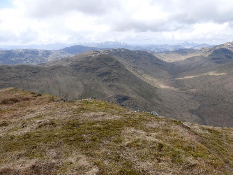
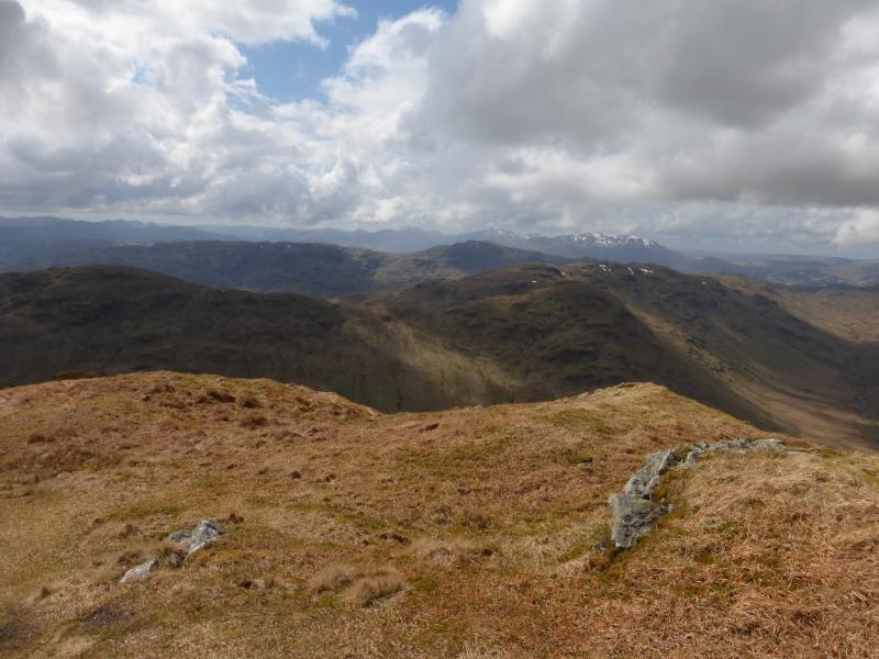
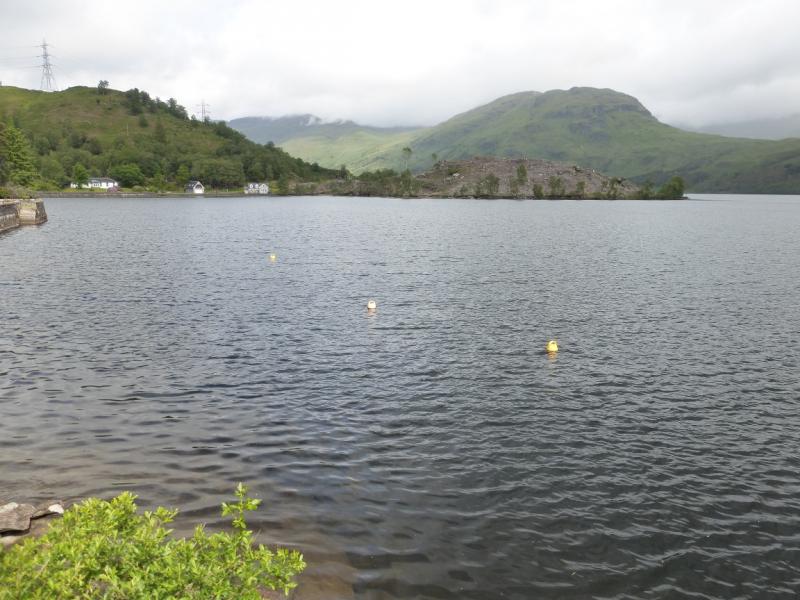
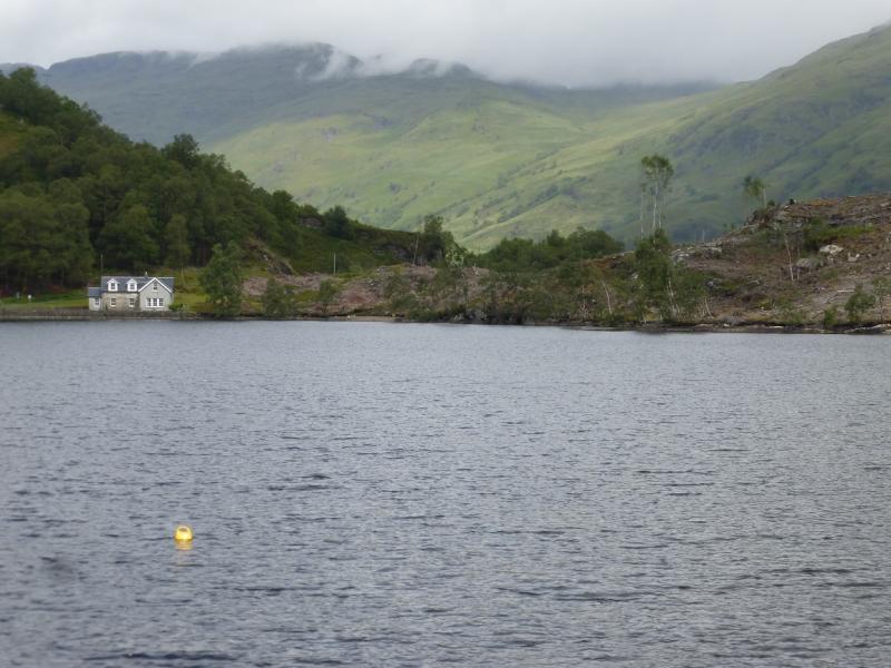
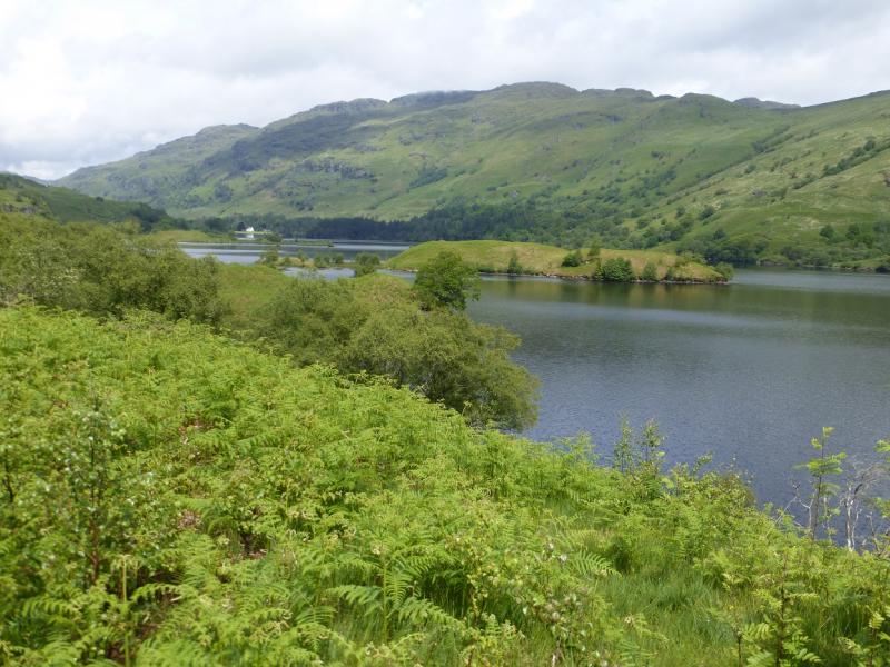
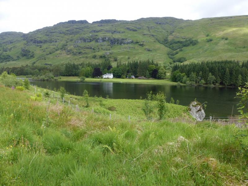
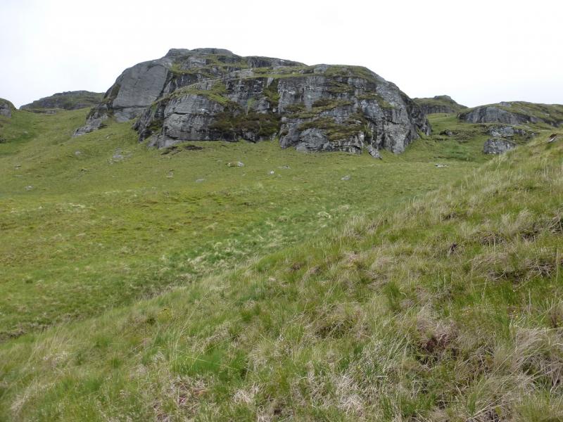
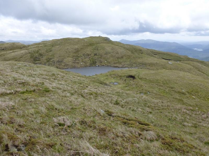
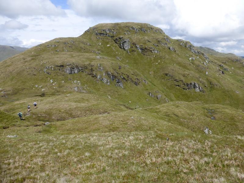
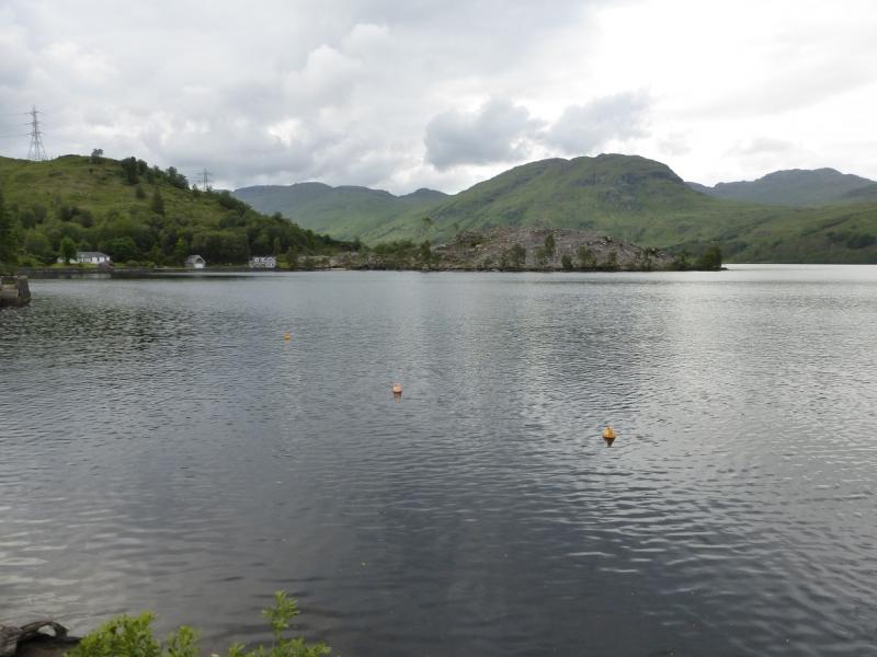
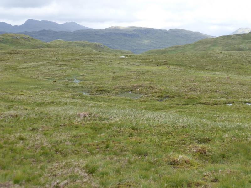
Meall Mor from Stronachlachar, Loch Katrine
Meall Mor from Stronachlachar, Loch Katrine
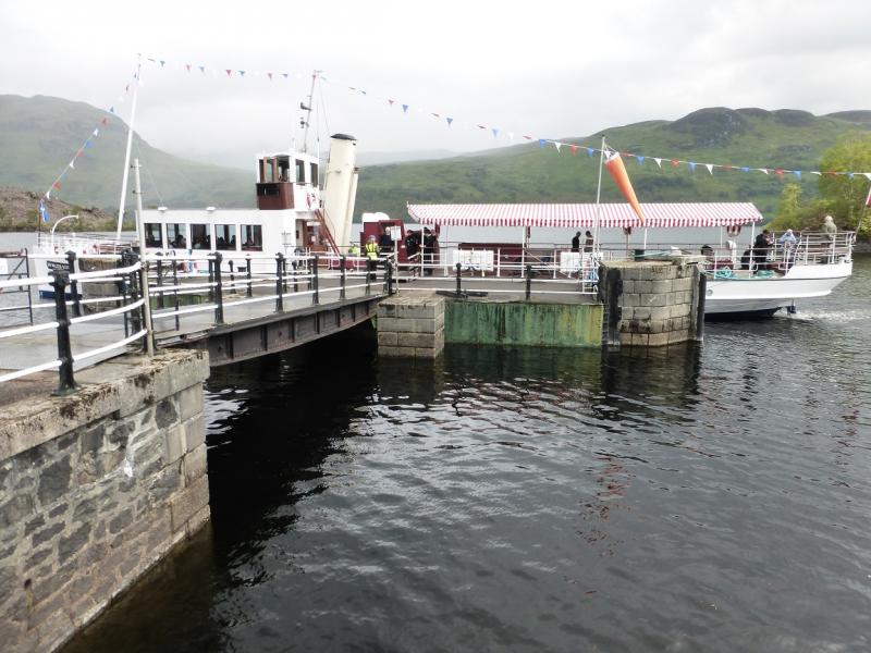
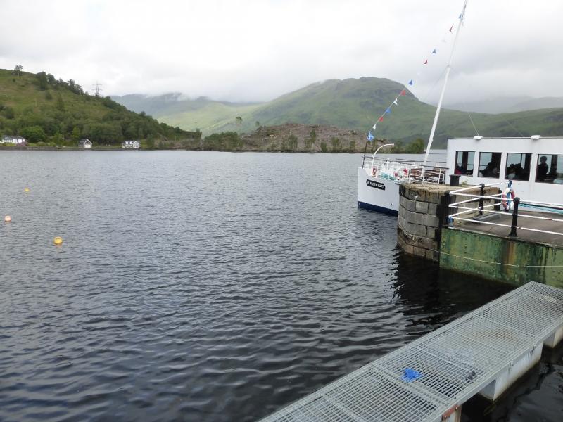
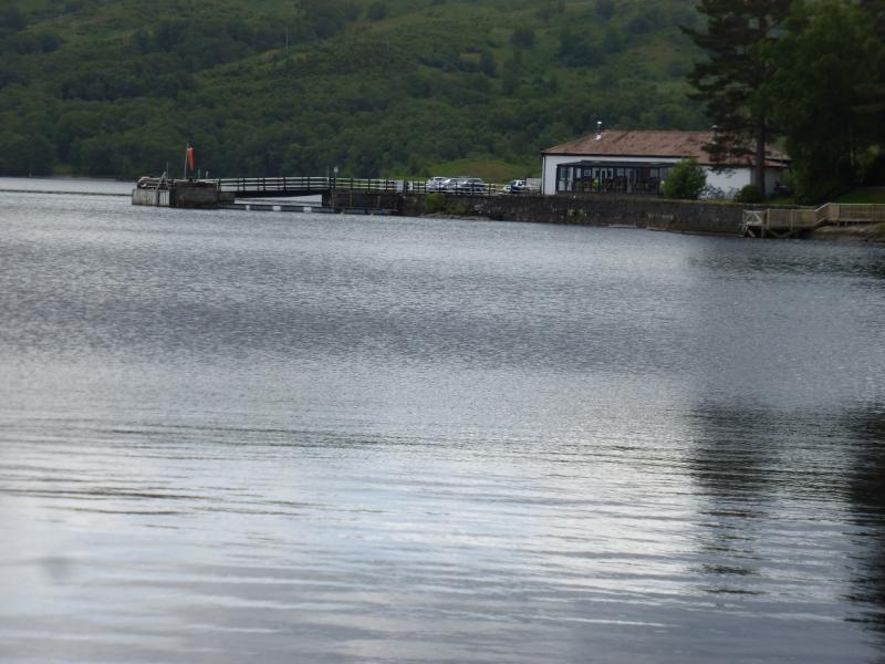
Start/Finish
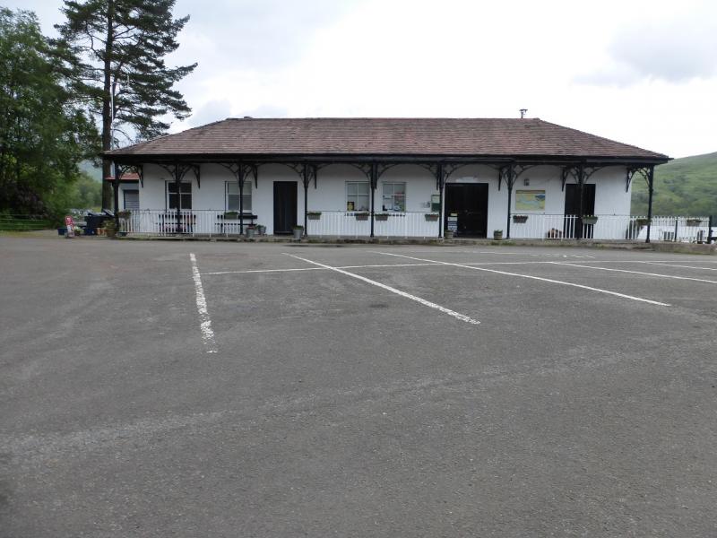
Stronlachar Pier car park (free on 27/6/15) which is at the western end of Loch Katrine. This is reached by taking the B 829 west, for about 11 miles, from Aberfoyle in the Trossachs. At a T junction, just before Loch Arklet is reached, turn right for the pier. The road is narrow and rough so progress will be slow. If reaching Aberfoyle from Callender, there are two approaches. Most scenic but much slower leaves the A84 at Kilmahog, about a mile north of Callender and takes the A821 past Loch Venachar. Brig o' Turk and Loch Achray before going over the Dukes Pass (impassable in winter conditions) to Aberfoyle. The much faster route leaves the centre of Callender on the A81 and passes through Port of Mentieth on its way to Aberfoyle.
Distance/Time
18 km walk of which 8 km can be cycled on a tarmac road of better quality than the public road! About 6 – 7 hours.
Peaks
Meall Mor, 747 m, NN 383 151.
Stob an Duibhe, 727 m, NN 397 154. OS Sheet 56.
Introduction
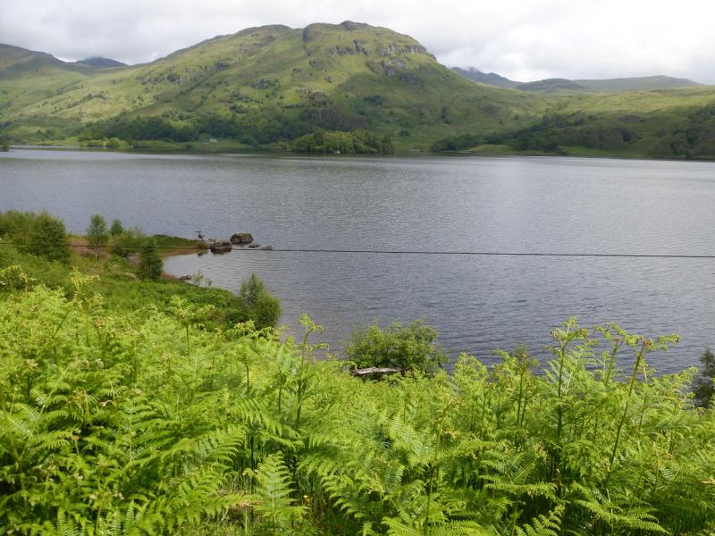
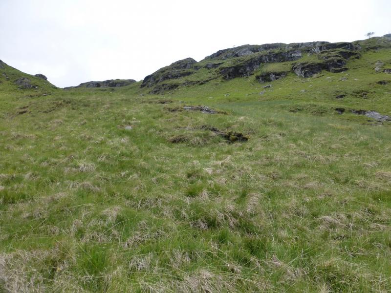
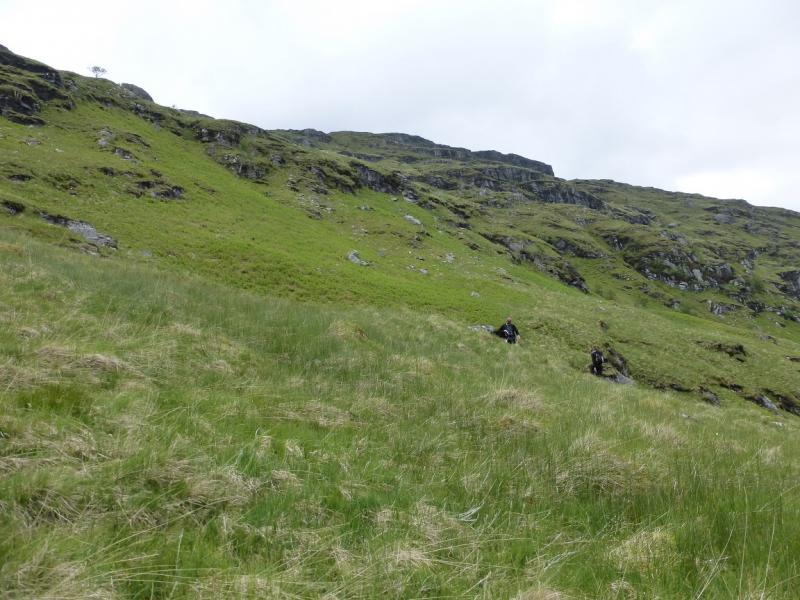
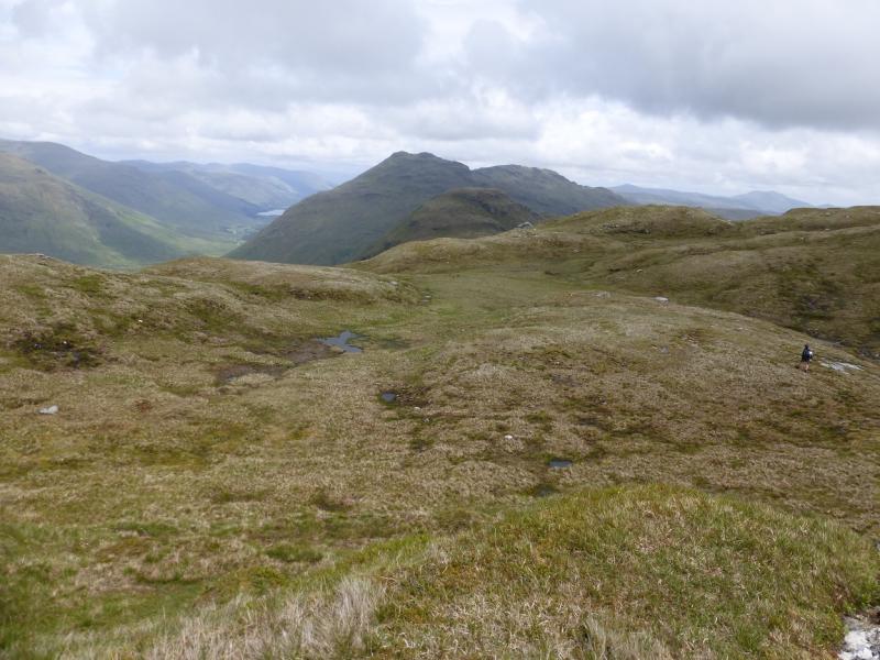
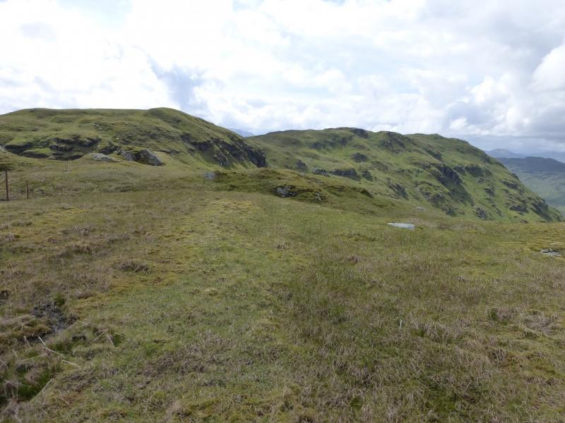
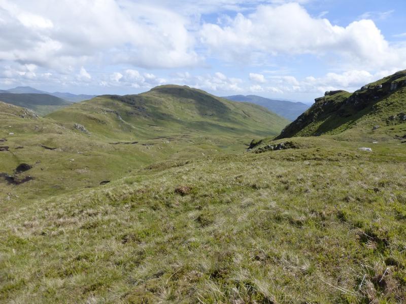
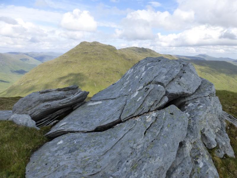
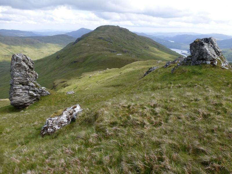
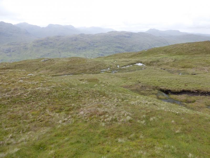
Despite the modest heights attained, this is quite a tough walk so do not underestimate it. Once the Loch Katrine track is left, the route is essentially pathless with steep grass and can be wet and boggy in places. There are quite a few crags but these are easily avoided. In summer, the lower slopes are overgrown with ferns which make the going even tougher. On a clear day, the views are superb especially to the north where Beinn Chabhair, An Caisteal, Beinn a' Chroin and Cruach Ardrain are well seen.
Route
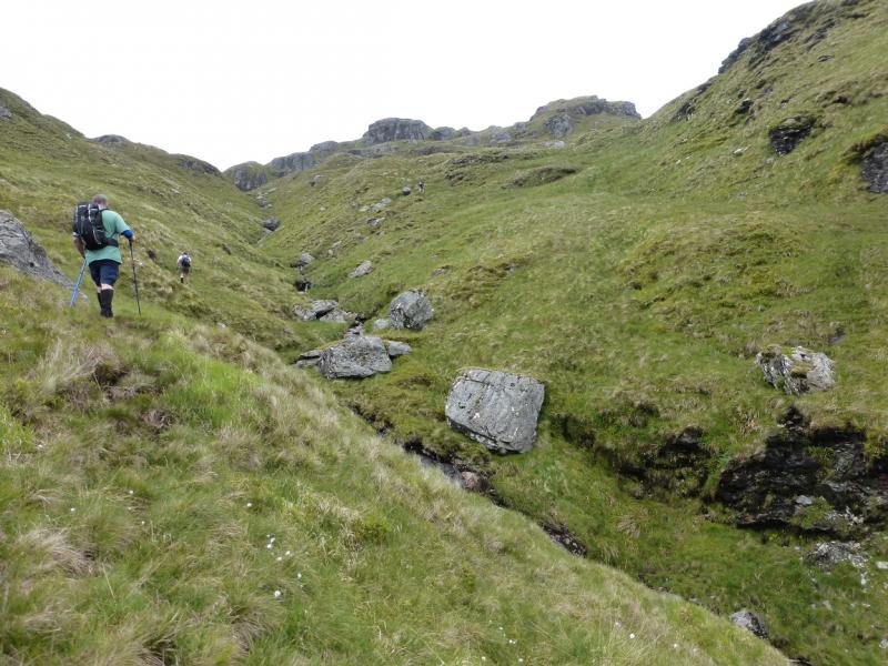
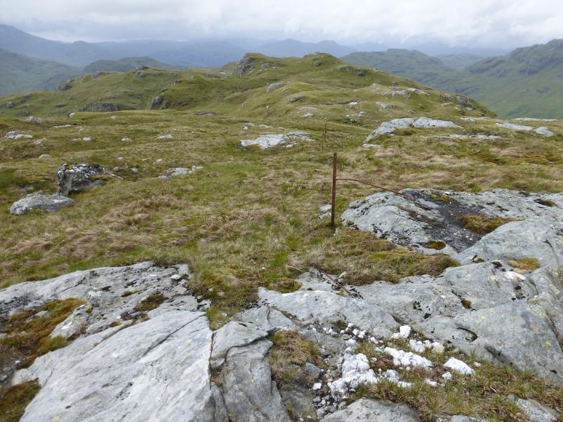
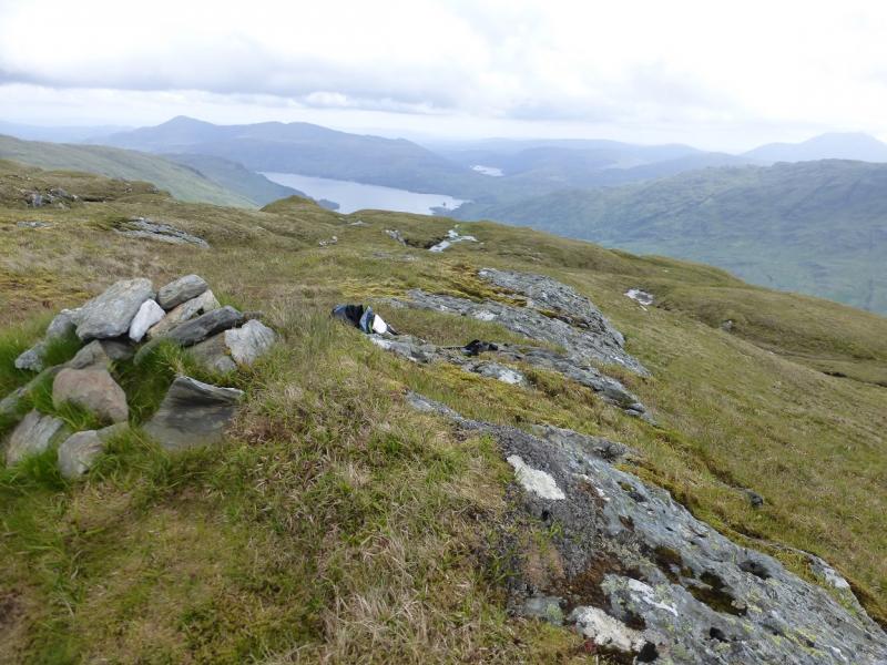
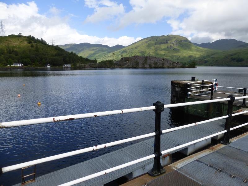
(1) Walk or cycle up the track alongside the NW spur of Loch Katrine for about 4 km until just before the the track curves around the end of the loch. Just before here, a track goes SW then NW. Leave bikes here. Follow the track but do not enter the deer fenced enclosure as the track soon emerges. The ground here is quite boggy. Once the track has been rejoined, follow it across a planked bridge in poor repair (some planks missing). Once across, look up and pick a route up the S flank of Meall Mor – not easy when the ferns have taken over the lower slopes. One route is to aim for the bottom of a grassy ramp sloping up to the left some way above the glen. In summer, it can be strenuous reaching the bottom of this ramp through the ferns. Follow the ramp up then pick a way NE, following minor ridges where possible, to reach the crest where there is a line of old rusty fence posts. Follow the crest and fencepost roughly SE. There is a lot of up and down on this crest. Eventually, the highest top is reached, after a small lochan. The line of fence posts passes about 30 m to the left, N, of the small cairn which marks the summit of Meall Mor, 747 m.
(2) The crest to Stob an Duibhe undulates so much that it seems like a separate hill. From Meall Mor, the crest goes ESE before turning ENE, still following the line of fenceposts. There are intervening tops with deep gaps between them before the final steep ascent to the top of Stob an Duibhe, 727 m, where there is no cairn but a large boulder.
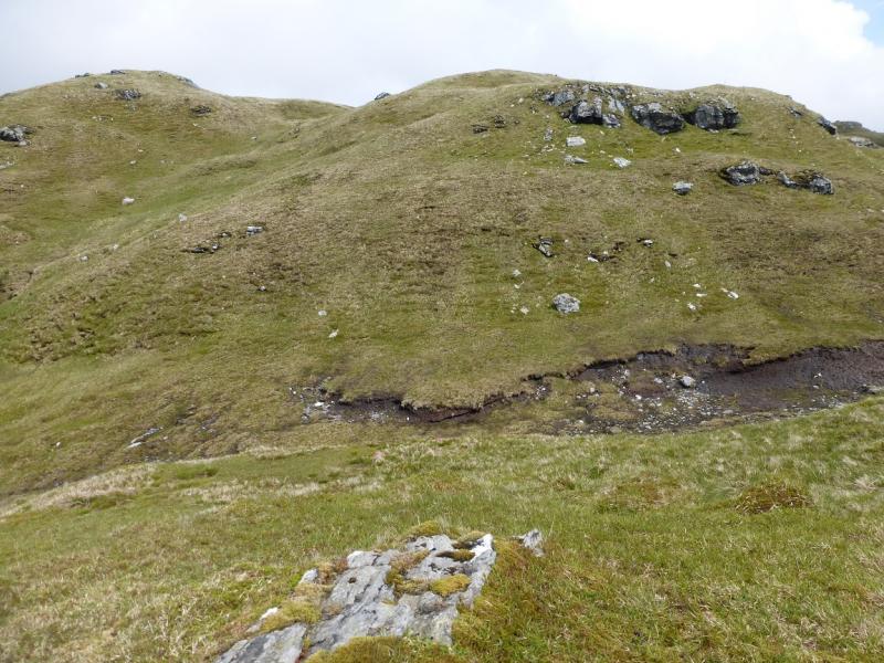
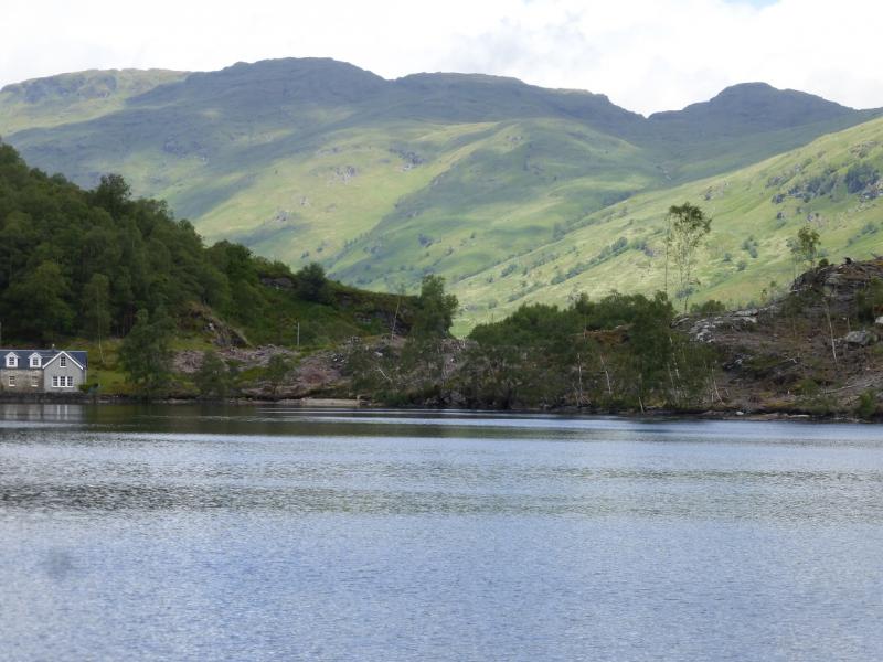
(3) Descend SSE almost to the col before An Garadh then go down the E side of the small glen running almost due S keeping the stream to your right, W. There is little in the way of a path and the going can be wet. Lower down, there will be a deer fence on your left which can be followed down to the Loch Katrine track. No fences need to be climbed over, especially deer fences, apart from a low fence just before the track. Onc eon the track, turn right, NW, and walk for about 2 km, past Glengyle to where any bikes were left then back along the track to the pier car park.
Notes
(a) This walk took place on 27th June, 2015, and about 10 years earlier.
Photos - Hover over photo for caption. Click on to enlarge. Click on again to reduce.